
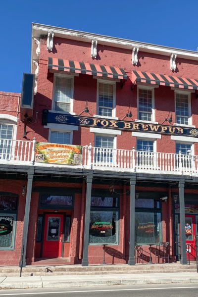
Gung Hay Fat Choy! Happy Chinese New Year, Year of the Ox!!! Did you know the Chinese have a long history in Nevada? The earliest record is in 1856, when immigrants dug ditches on the Carson River. In 1860 twenty-one Chinese men lived in the Western Great Basin, by 1880 the population reached 5,000. Dayton had a large Chinese population and was known as Chinatown until 1861. Miners ... VIEW POST
Recent Ghost Towns & Travel Updates
Pony Express Route: 2-7-2021
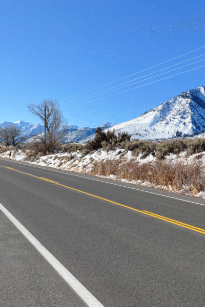
Travel Update: Full Post to Follow Edel and I followed the western Nevada portion of the Pony Express route: Woodfords (CA), Van Sickle, Walley's Hot Springs, Genoa, Carson City, Dayton ending at Miller's/Reed's. I would have continued to Ft. Churchill and Buckland but I took the car instead of the Jeep, silly me, and the road is known to destroy alignment. I found two locations associated ... VIEW POST
Alpine Mine, Nevada
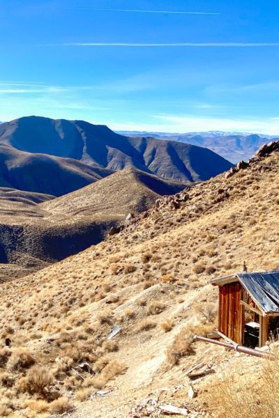
I spent a day outside Nixon exploring the Nightingale Mountains with an off-road group. Dave, our lead for the day, took us across a narrow shelf road to a mine perched on the side of the mountain. Shelf roads are not my favorite, especially when there is no room to pass. Fortunately, this road was fairly wide, and you could see oncoming traffic. Nightengale Mountains and Mining ... VIEW POST
Pony Express Route Trip
Sunday, Edel and I followed the western Nevada portion of the Pony Express route: Woodfords (CA), Van Sickle, Walley's Hot Springs, Genoa, Carson City, Dayton ending at Miller's/Reed's. I would have continued to Ft. Churchill and Buckland but I took the car instead of the Jeep, silly me, and the road is known to destroy alignment. I found two locations associated with historical events to ... VIEW POST
COVID and The Pony Package
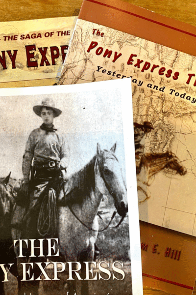
I canceled my weekend plans due to a COVID "superspreader" event in Mineral County. My friends in the area, stay safe and I hope to be down soon. I was trying to figure out what to do this weekend as many ghost towns are snowy and muddy messes when my COVID best friend, the UPS driver, delivered a package. One book looks especially interesting and has each Pony Express station listed, ... VIEW POST
- « Previous Page
- 1
- …
- 95
- 96
- 97
- 98
- 99
- …
- 126
- Next Page »