Before the first winter storm, my friend Steve took me on his “10-cent Truckee Tour.” It was a beautiful day with perfect fall weather. Thankfully, we went when we did. A wildfire started that night, and the area was evacuated the following day.
Von Schmidt Line
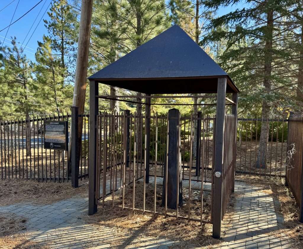
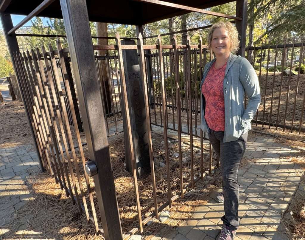
Steve didn’t know about the Von Schmidt marker in Verdi at the beginning of Henness Pass, so we made a quick stop.
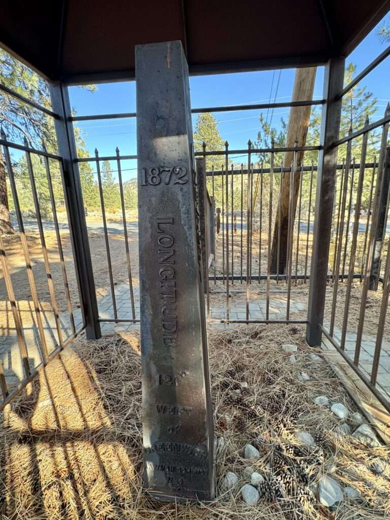
When California became a state in 1850, the 120-degree west longitude was its eastern border. On six occasions from 1855 to 1900, surveys attempted to locate the 120-degree longitude, each with different results.
Starting in 1872, Alexey W. Von Schmidt surveyed the border using whatever markers were available: stones, wood, and iron.
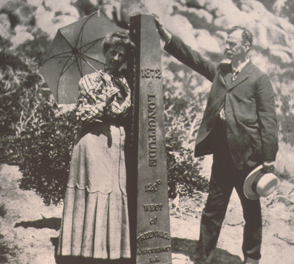
(Photo credit: Wikipedia)
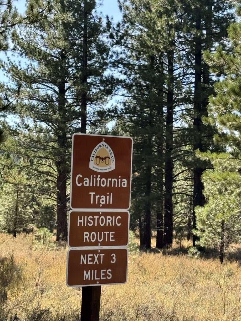
Henness Pass
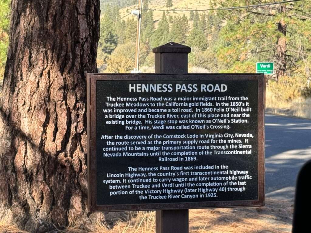
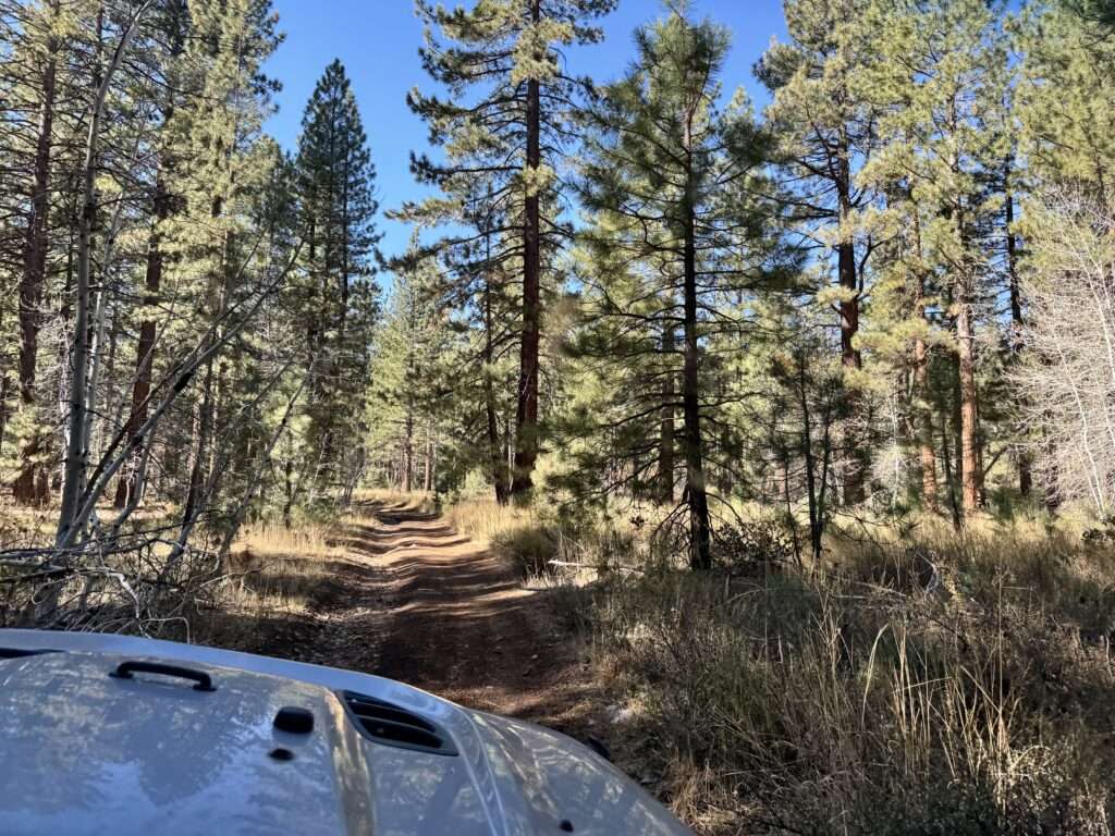
I thought we would take I-80 to Truckee, but Steve took me on Henness Pass emigrant road instead. It was a lot more fun than the freeway!
Henness Pass was developed in 1849-1850 and became a toll road in the 1850s. The pass was a major route for miners headed from the goldfields of California to the Silver Ruh in Nevada.
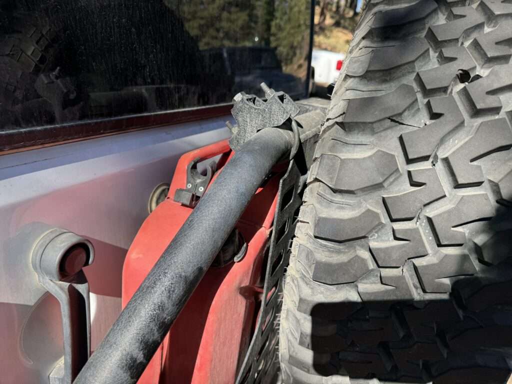
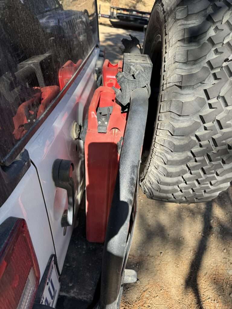
It’s not Honey Badger, but a USFS Jeep has the same tailgate. I have had an issue with one of my gas cans fitting, so I checked out what Jerry cans they used.
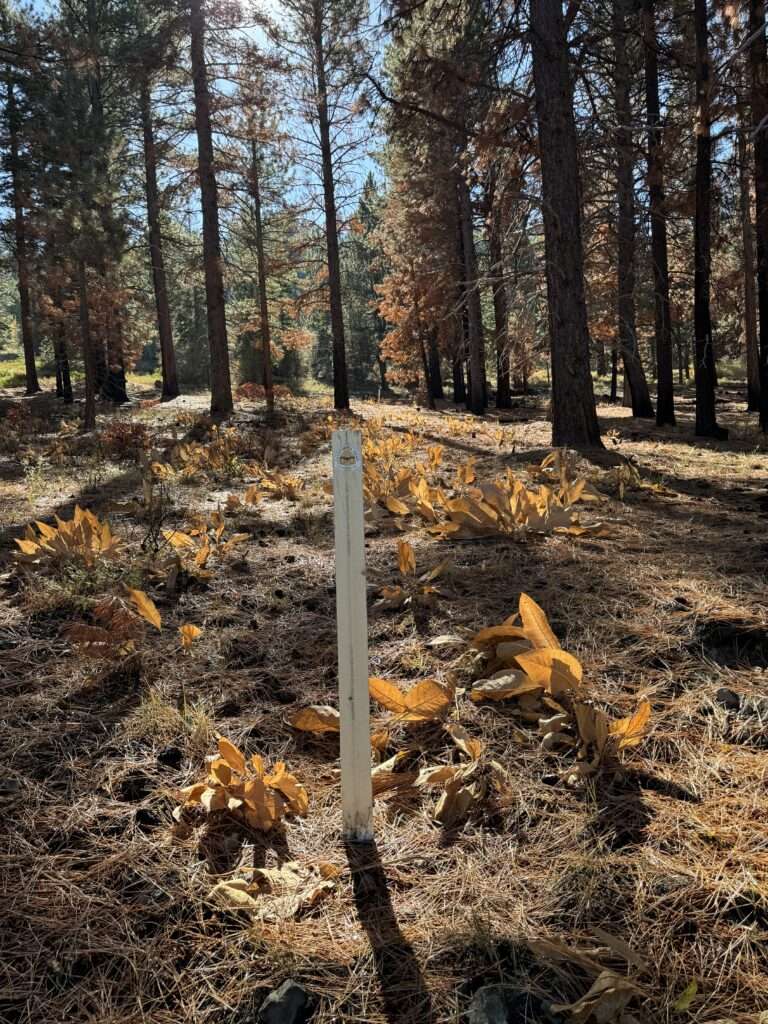
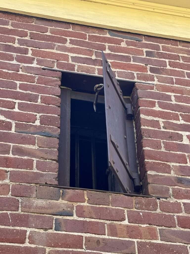
Henness Pass waystation
This was the location of a waystation on Henness Pass.
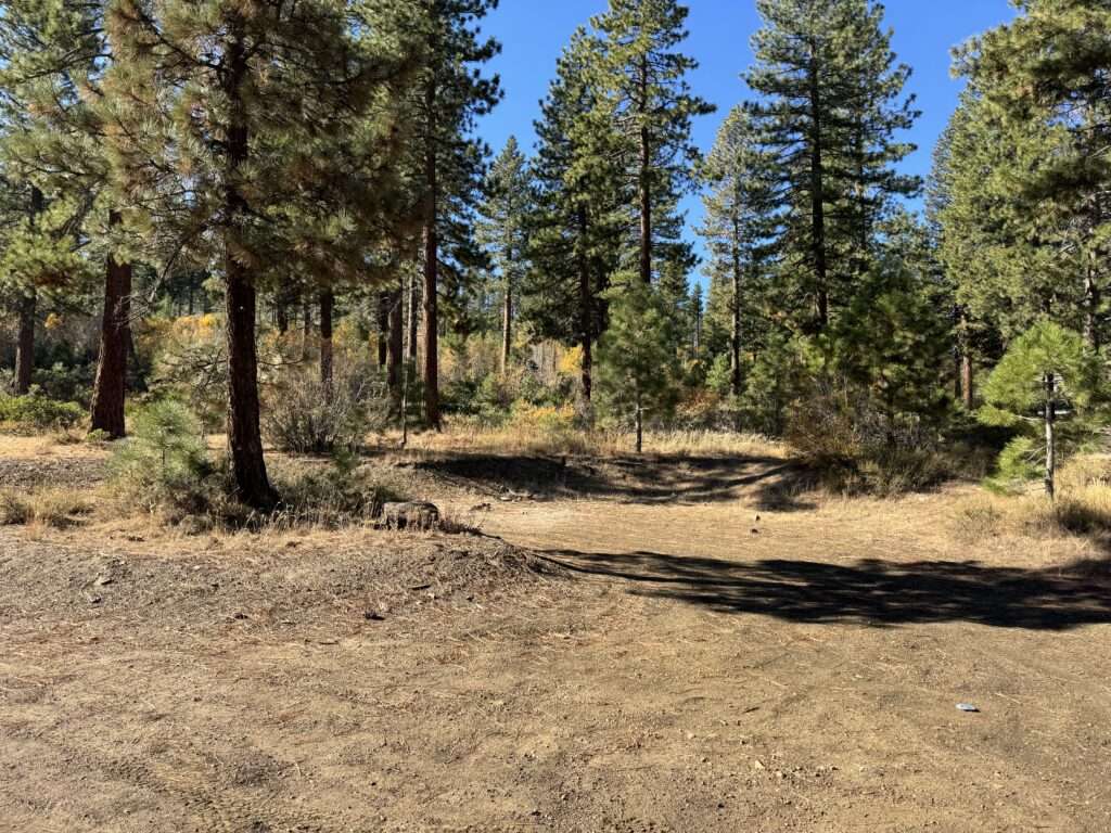
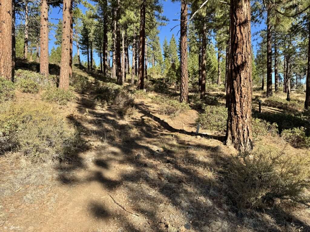
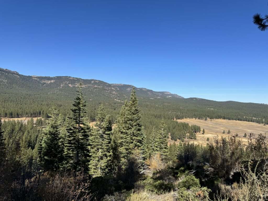
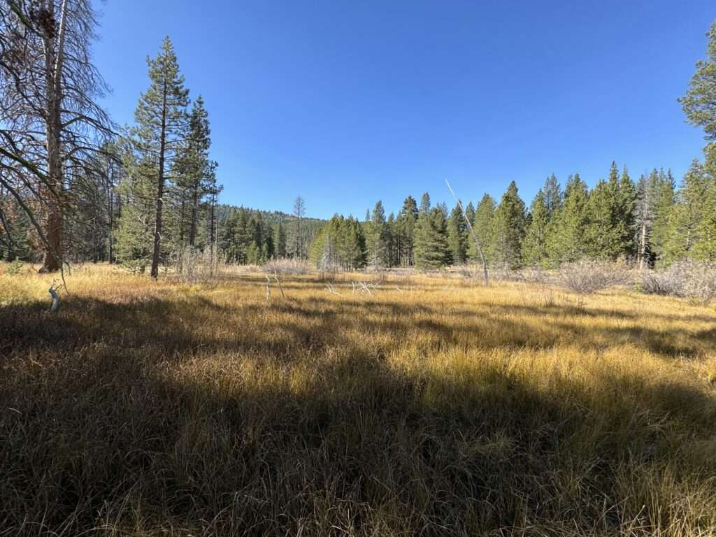
Dog Valley Descent
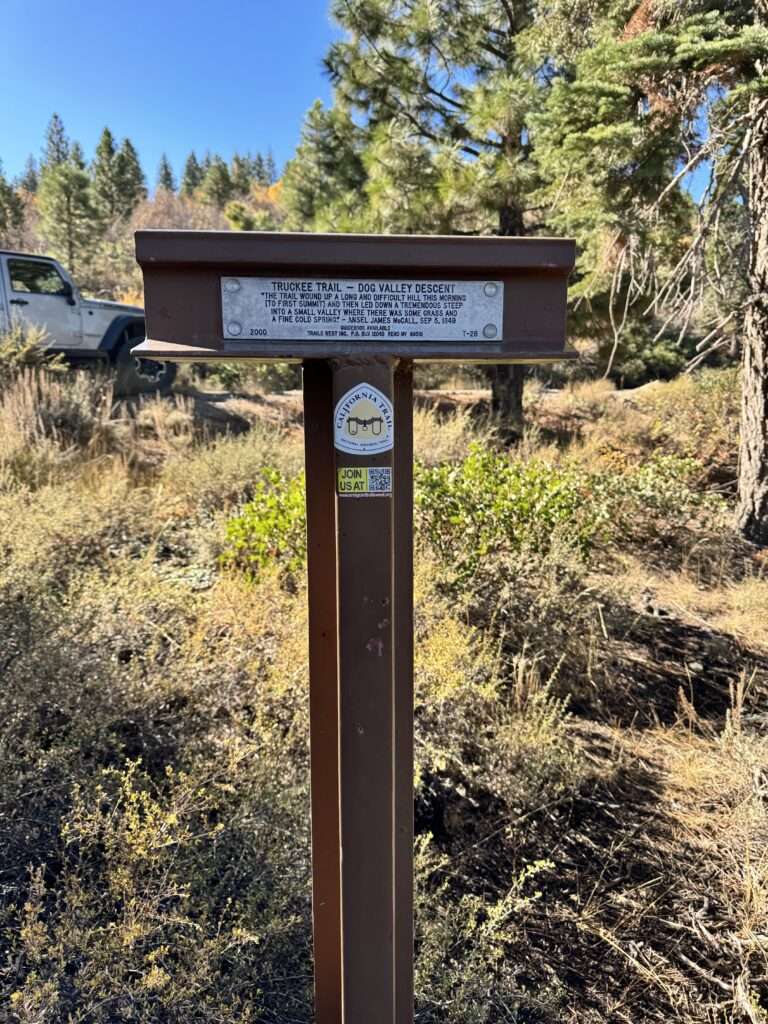
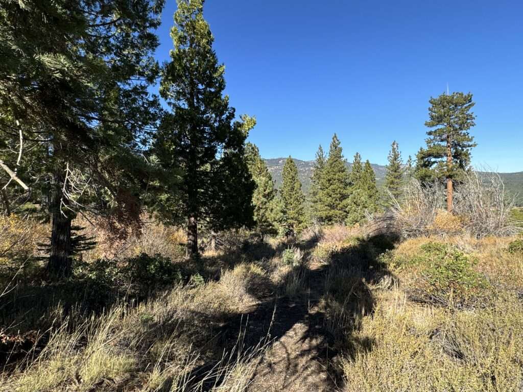
Emigrant diaries document the descent into Dog Valley as “A tremendous steep into a small valley.” Instead of rolling the wagons to the bottom of the descent, they locked the wheels and slid them down.
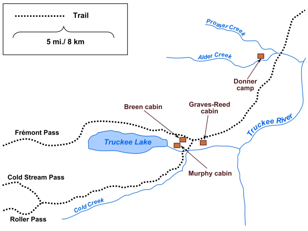
Alder Creek Donner cabin site
Sadly, another group took some of the route we were following in October 177 years before… the Donner Party.
(Photo credit: Wikipedia)
I visited Donner State Park with Nevada Expeditions on our Winter Respite of 2022.
At Donner State Park is a site of three cabins for the party members. The Murphys built their cabin against the above rock. I remember reading the Donner cabin approximately half a mile away. I didn’t understand why the Donner family took shelter so far from the others.
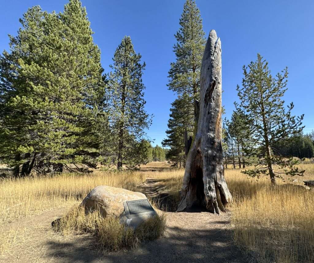
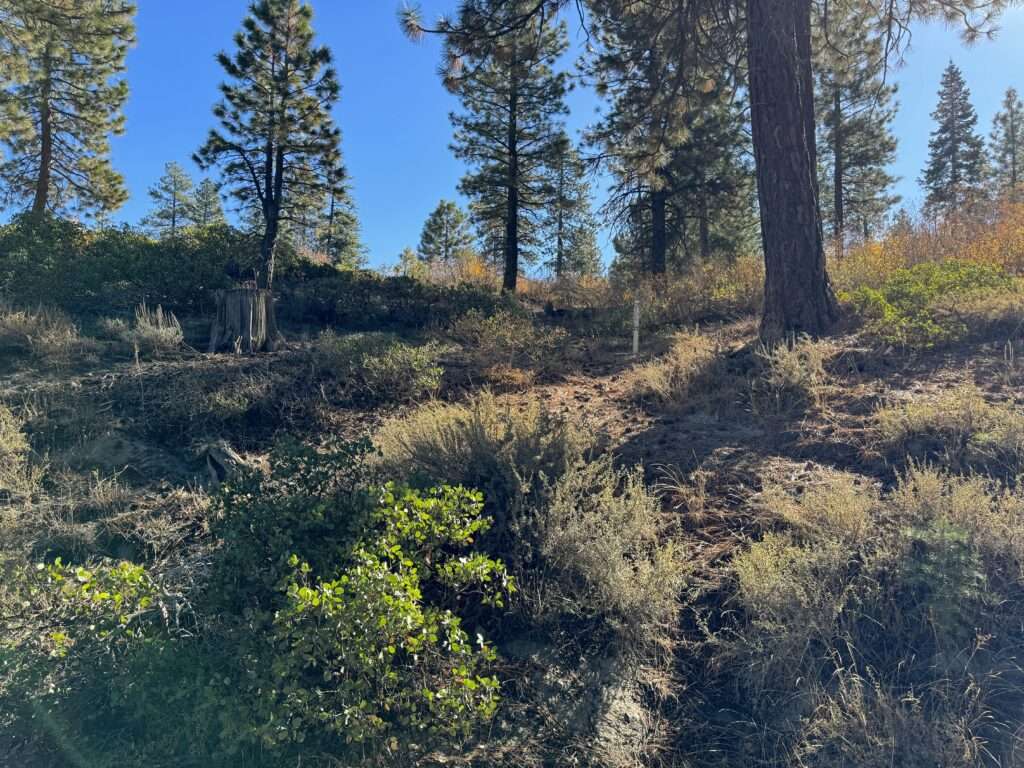
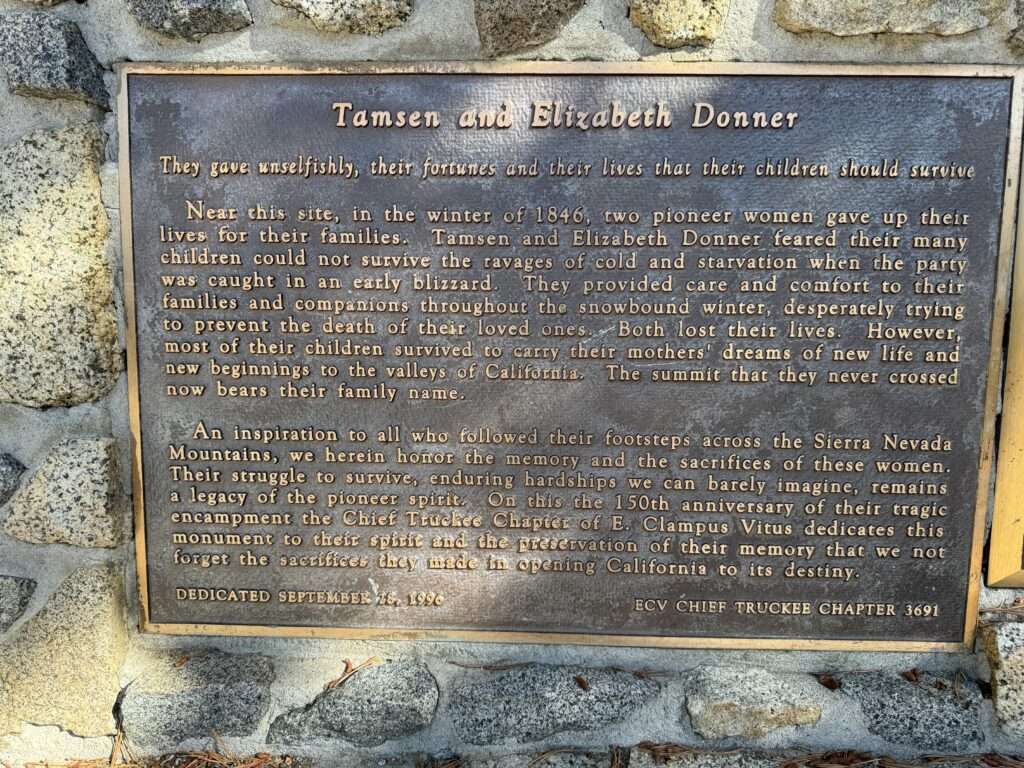
The George and Jacob Donner families, along with their teamsters, camped at Alder Creek. Due to injury and wagon damage, the Donners were a day behind the main group.
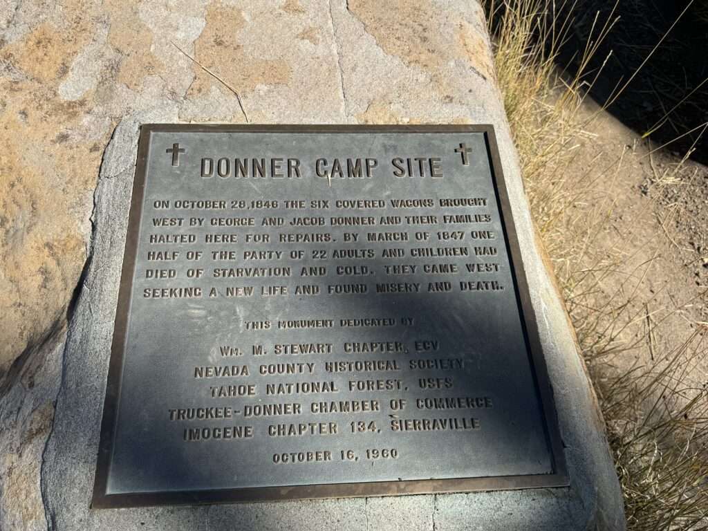
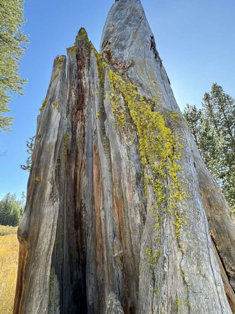
Some believe the Donner’s shelter was against this tree.
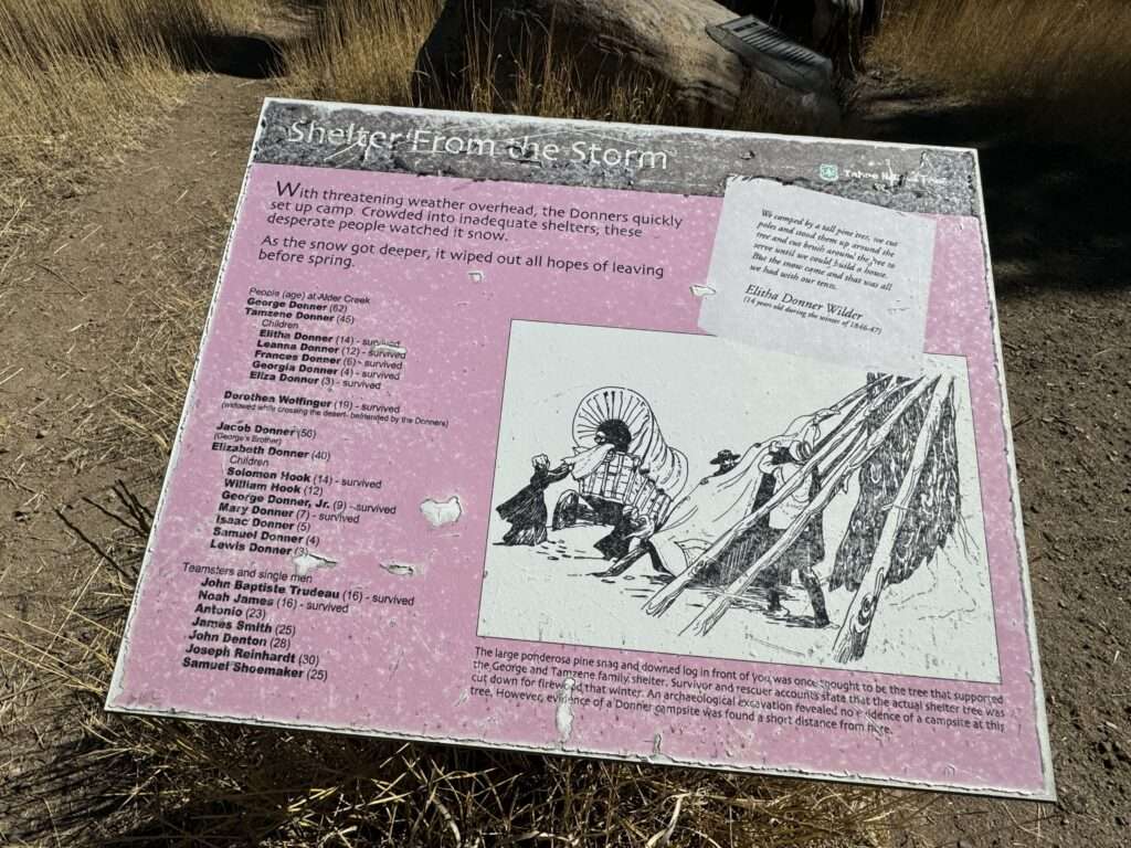
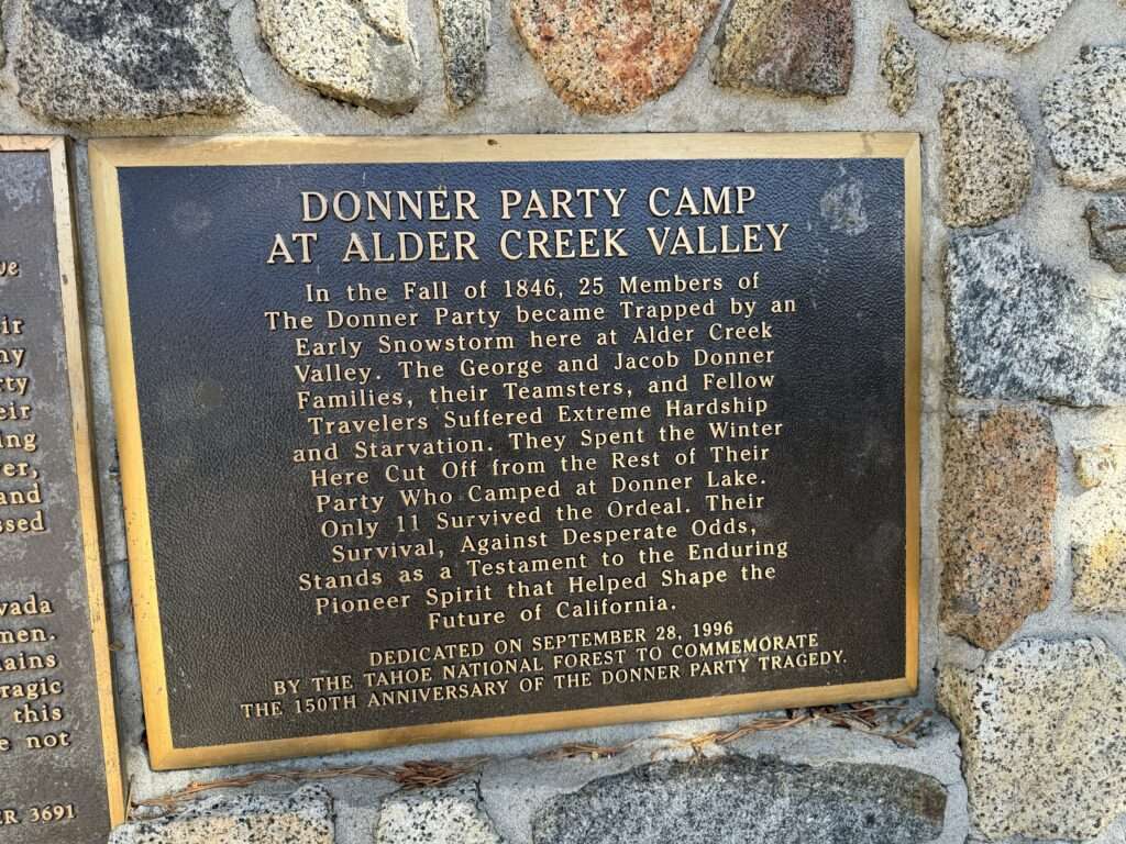
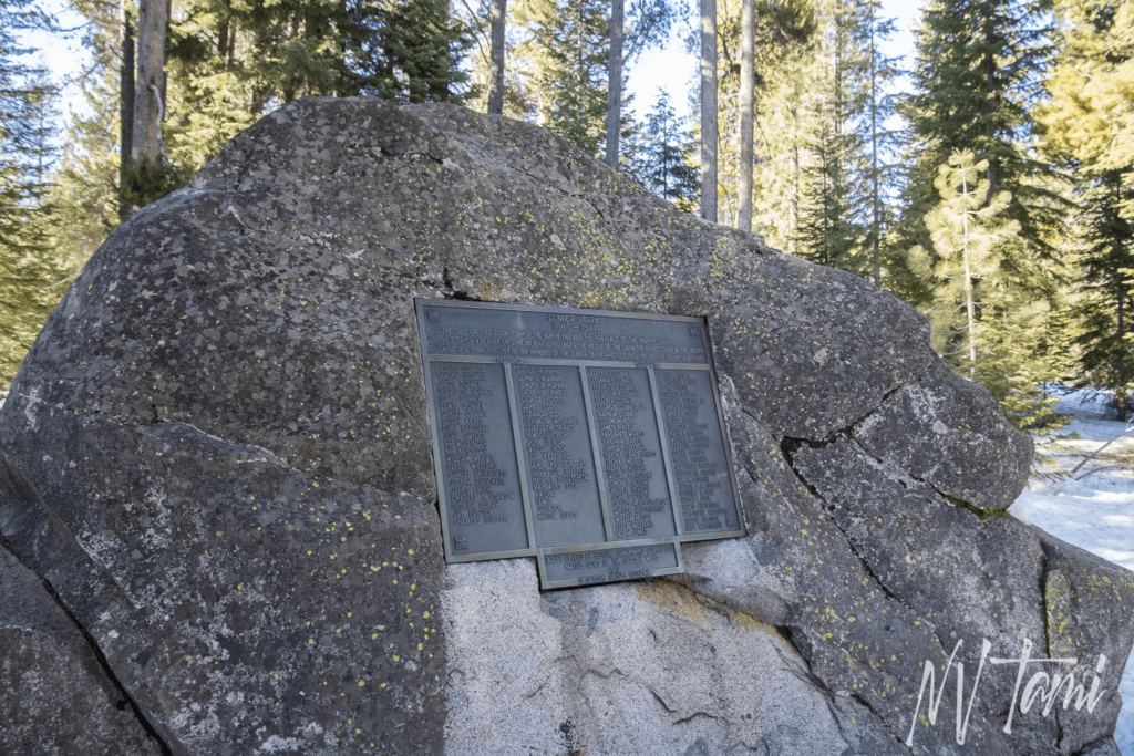
A 1/3 mile trail with interpretive plaques marks where the Donner families camped in 1846-47.
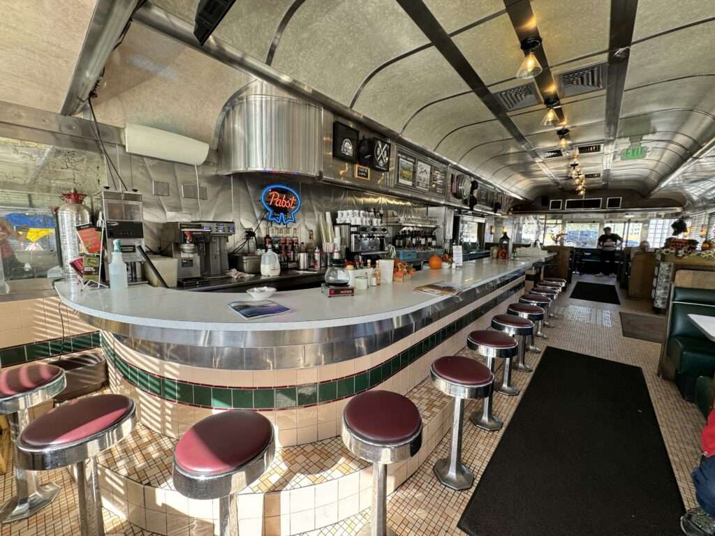
Jax by the Tracks
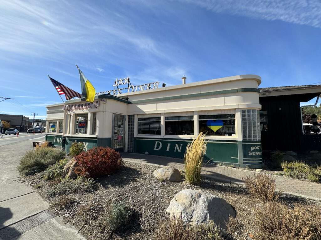
Steve suggested we have lunch at Jax at the Tracks. I have eaten downtown but never at Jax. It wasn’t the “diner” menu the exterior suggests. Jax was featured on Diners, Drive-Ins and Dives and has an upscale menu.
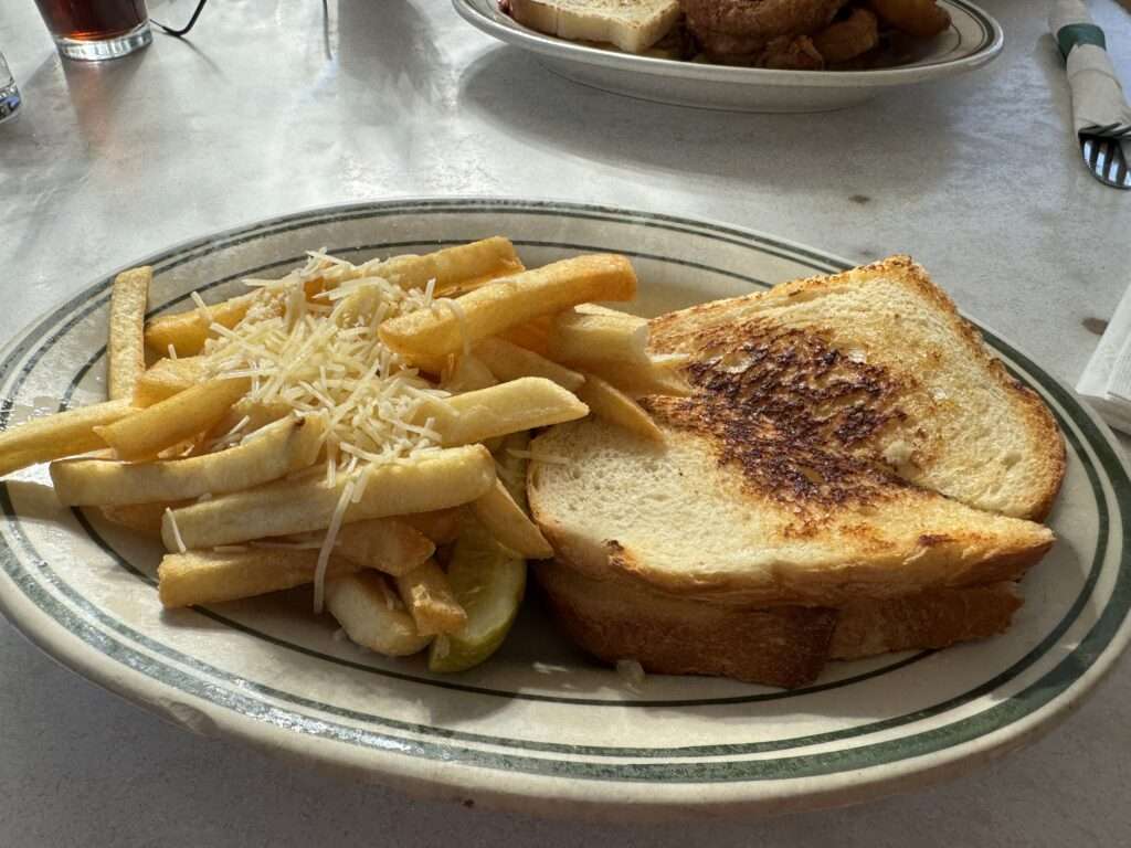
Their breakfasts were tempting, but I had the crab melt with truffle parmesan fries. Yummy!
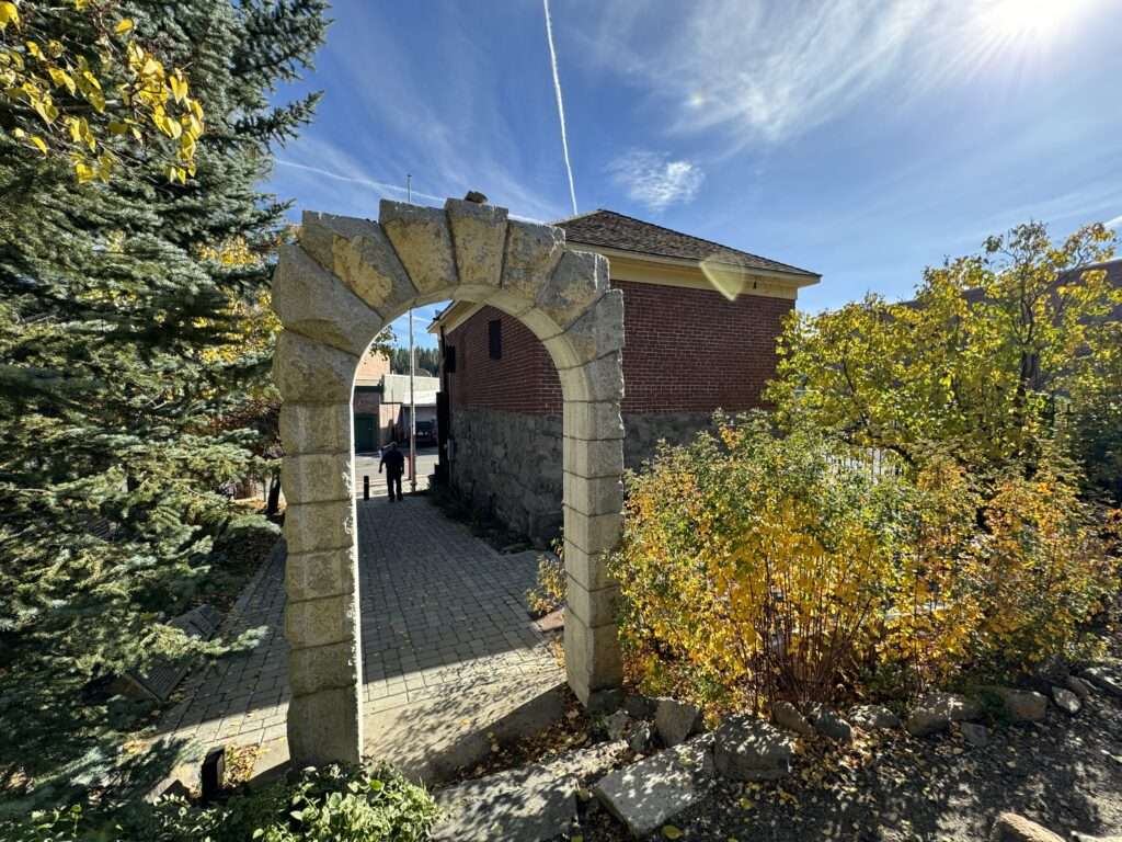
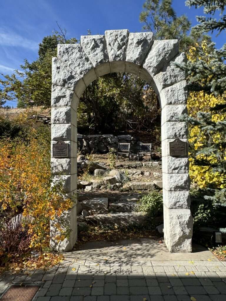
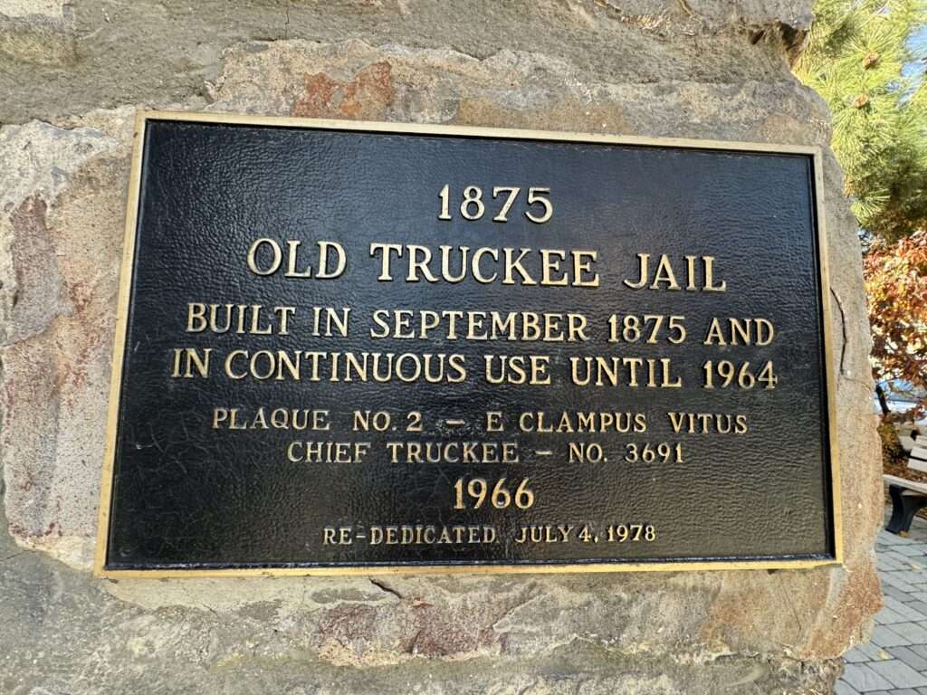
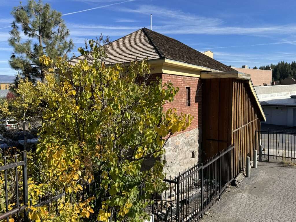
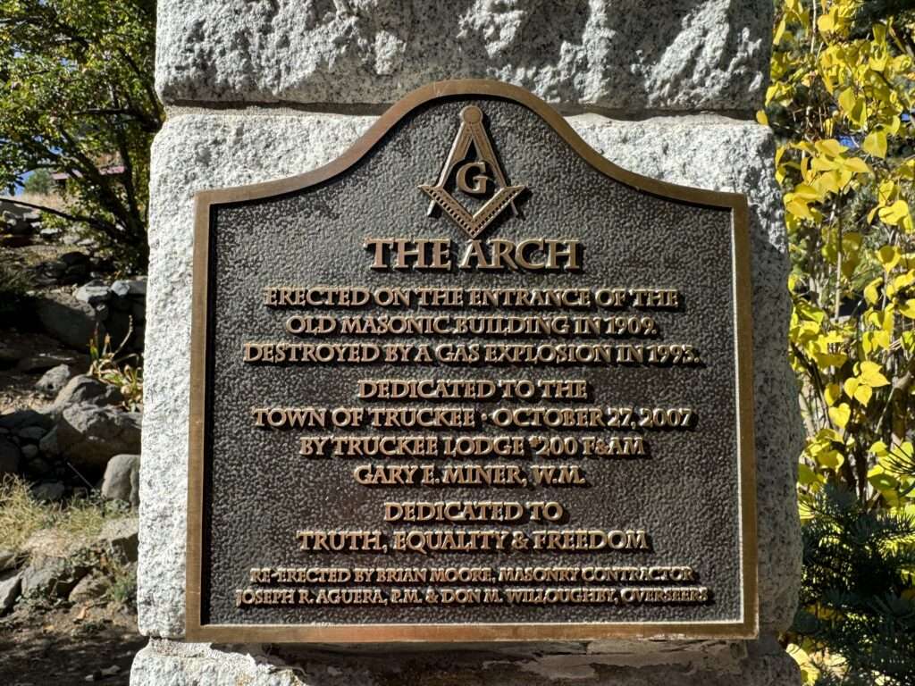
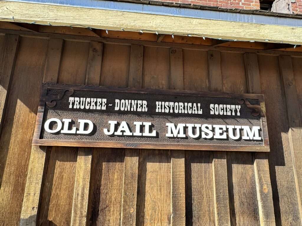
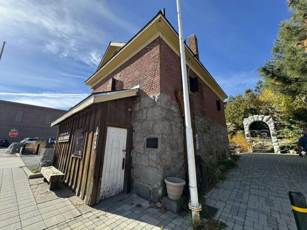
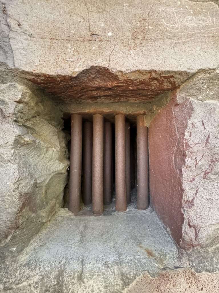
Truckee Jail
Someday I’ll be in Truckee when the museum is open. The museum is housed in the 1875 jail.
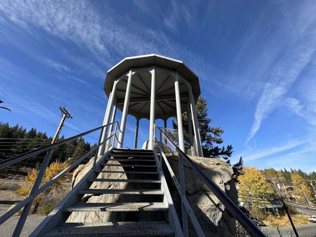
McGlashan House
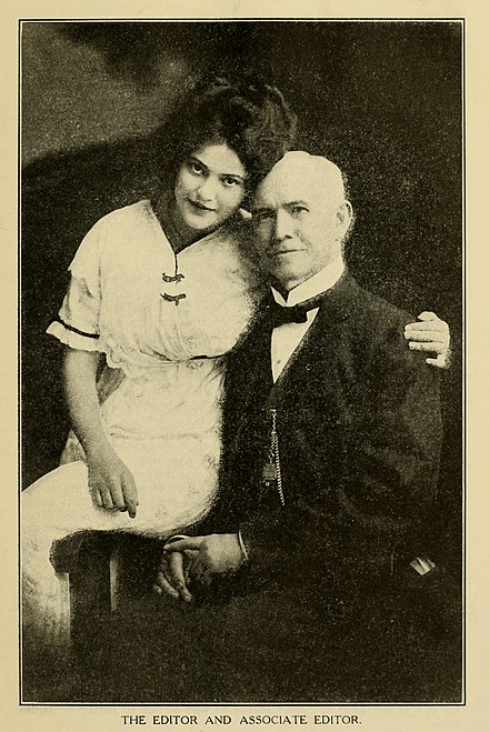
Charles Fayette McGlashan wrote History of the Donner Party. He had a large collection of Donner Party memorabilia which he houses in a tower next to his house. His house was known as “Crystal Palace.” Sadly, the house burned in 1935.
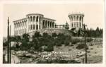
(Photo credit: California State Library)
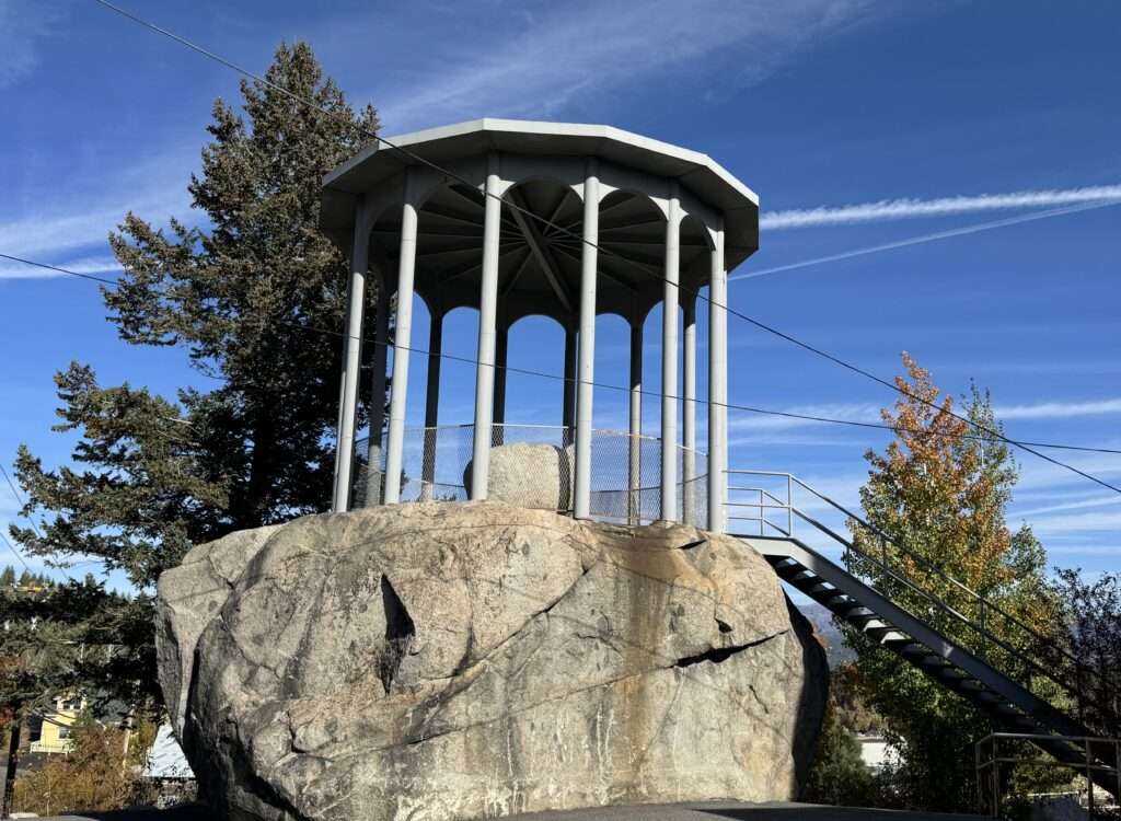
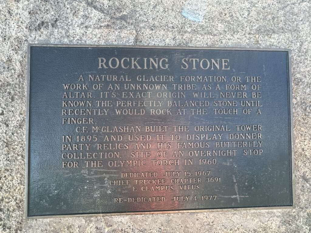
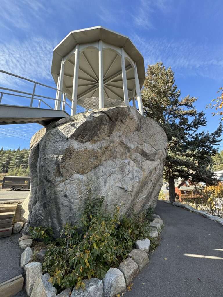
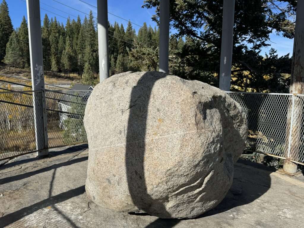
Rocking Balanced Rock
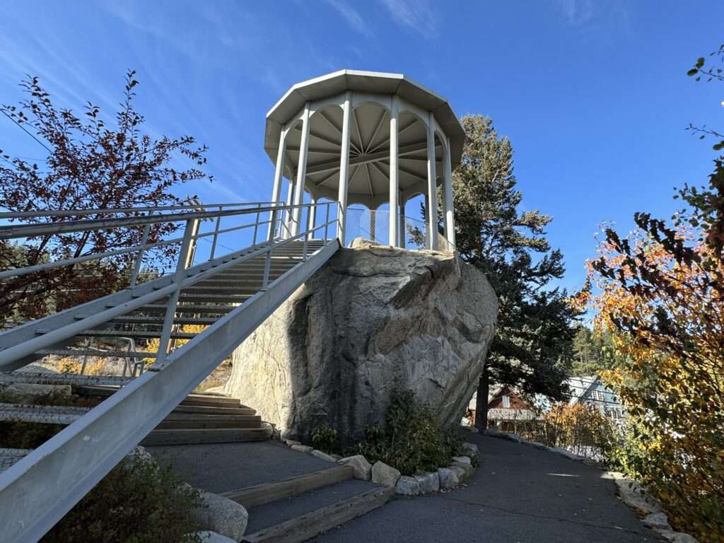
McGlashan’s tower also houses Rocking Balanced Rock. The glacial erratic which could be rocked with the touch of a finger.
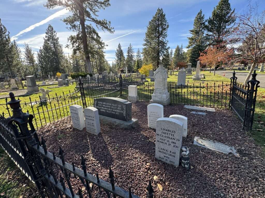
McGlashan graves
We finished our day at the McGlashan plot in the Trucke cemetery.
Ron Dow says
If you ever do a run from Truckee
To Verdi please let me know. I have never done that portion of the trail although from Jackson Summit to Camptonville I know it like the back of my hand. I spent 40 years logging in that area and actually built or supervised the building of many of the side roads under Forest Service contract
Tami says
Maybe next summer. I think we are out of time this year.
Ron Dow says
Pretty sure you are right.
Tami says
Thank you for the correction on Aurora. I was thinking Sylvania, not Aurora and have removed that part. I didn’t clarify what devices Von Schmidt used for his survey, only that the markers were stones, wood and iron.
Thanks for catching the California typo.
My friend is with Trails West and told me of a station, but he didn’t have a name so I referred to is as Henness Pass waystation. As he didn’t have a name, I left the W lower case, indicating it is not the formal name, but a waystation on Henness Pass. I appreciate the name of the station, and will look into it.
Harmony Heywood says
Sorry if my post sounded condescending, it wasn’t my intention. I just finished researching the Henness Pass for a project I am working on so the history is right at the forefront of my brain. Your article is great with great history in it. I am just a stickler (history crazy person) for historical names being exact.
Also I have a some info on Baurers Station I could send you if you would like. ❤️
Tami says
I look forward to seeing what you found about Henness.
I would love any information you have on Baurers or Stout’s Crossing. I did a preliminary search online and didn’t see anything, but I haven’t delved into my emigrant resources.
Tami says
Comment from Harmony. (sorry, I cleaned up the site which deleted unapproved comments).
“Great article, I love the Henness pass. Just a couple of historical corrections…
Aurora and its state line issues were unrelated to this monument or even the 120-degree parallel. Aurora is actually situated on the 118-degree longitude line. The reason for it being located in two states simultaneously had nothing to do with an incorrectly surveyed line. Rather, the state line had never been surveyed before, leaving them unaware of which state they were in. Eventually, in 1863 the line was surveyed, placing Aurora within Nevada (which has never been disputed since) This monument focuses on the 120-degree and 42-degree lines and the complications caused by multiple survey attempts to determine the 120-degree line.
– A side note Von Schmidt actually surveyed the border using a compass, sextant and dead reckoning system, a little more technical than “whatever markers were available: stones, wood, and iron”
– The silver rush was in Nevada, not California as stated.
– There was never a structure called the ‘Henness Passengers Waystation,’ or even one called the ‘Henness Pass Way Station.’
I believe you are at the summit of Dog Valley before the descent, which means you are actually at the location of Bauer’s Station, which was a saloon and hotel.”