
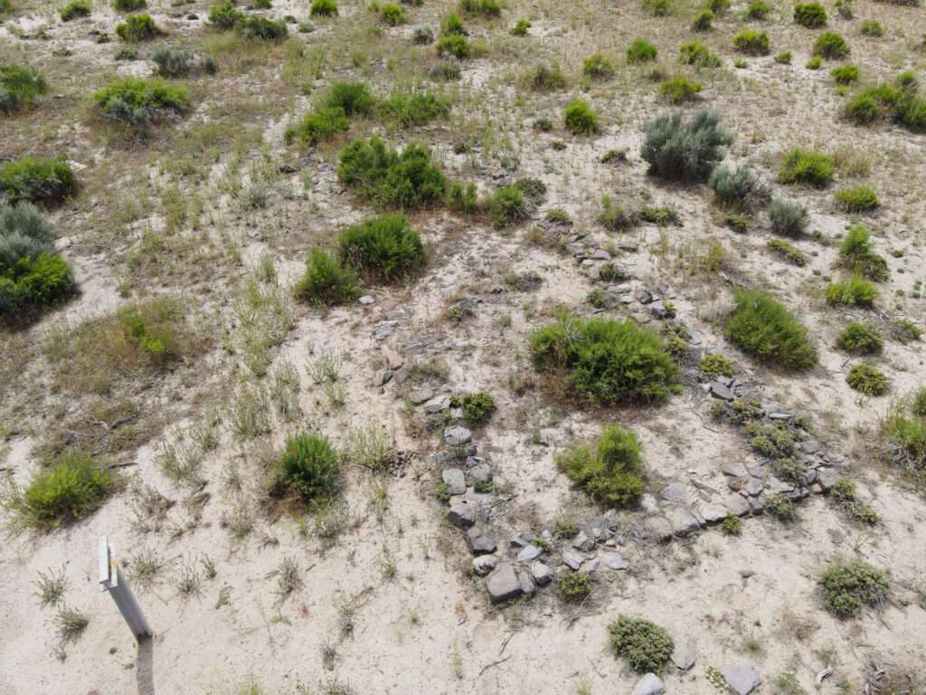
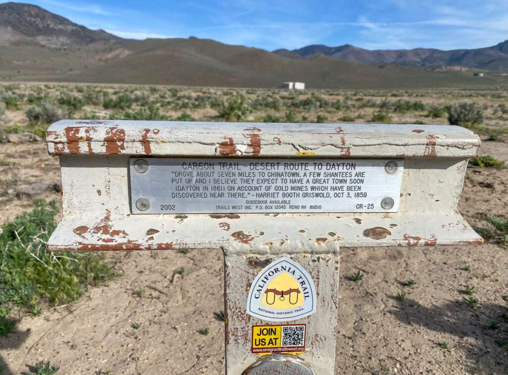
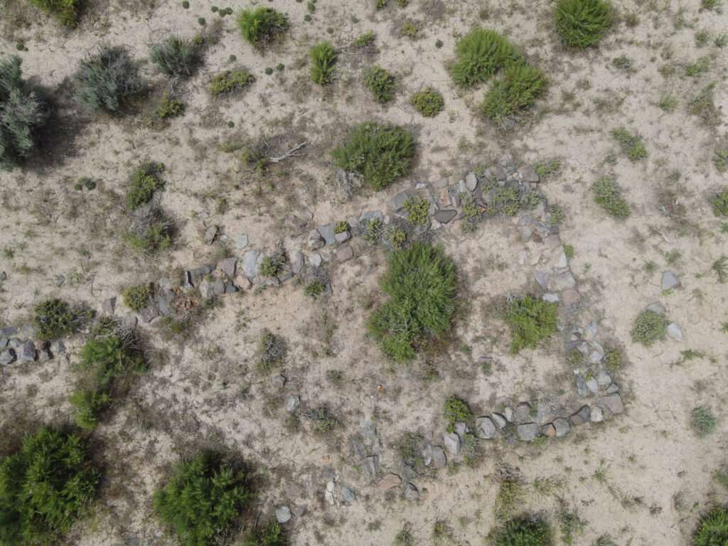
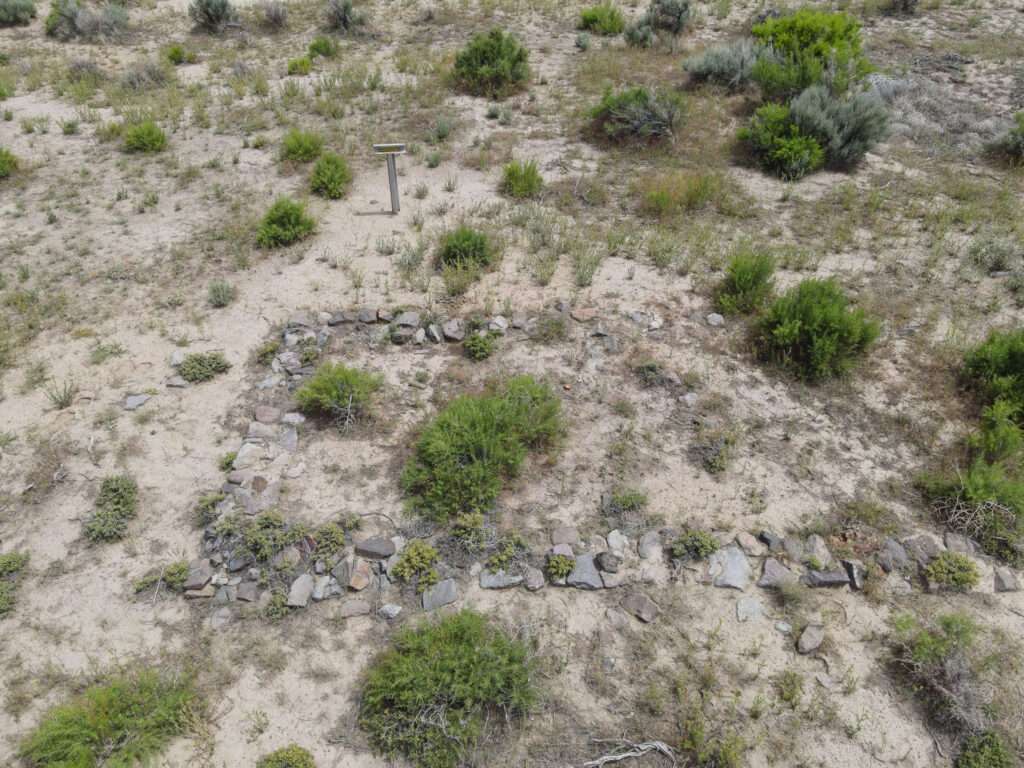
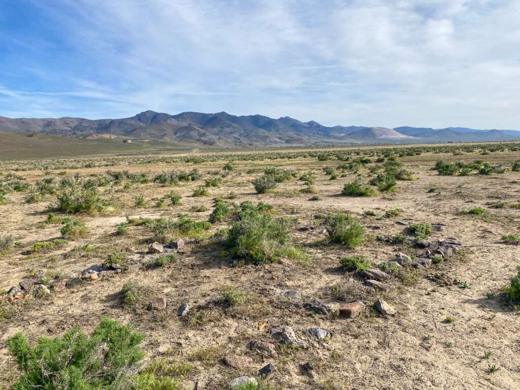
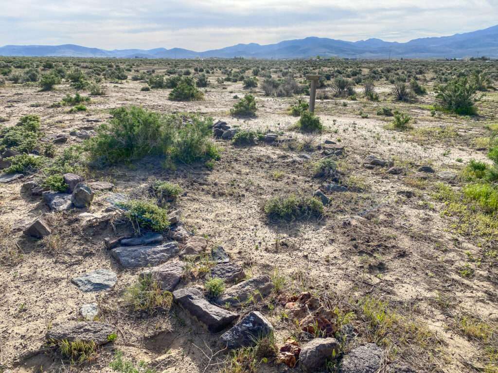
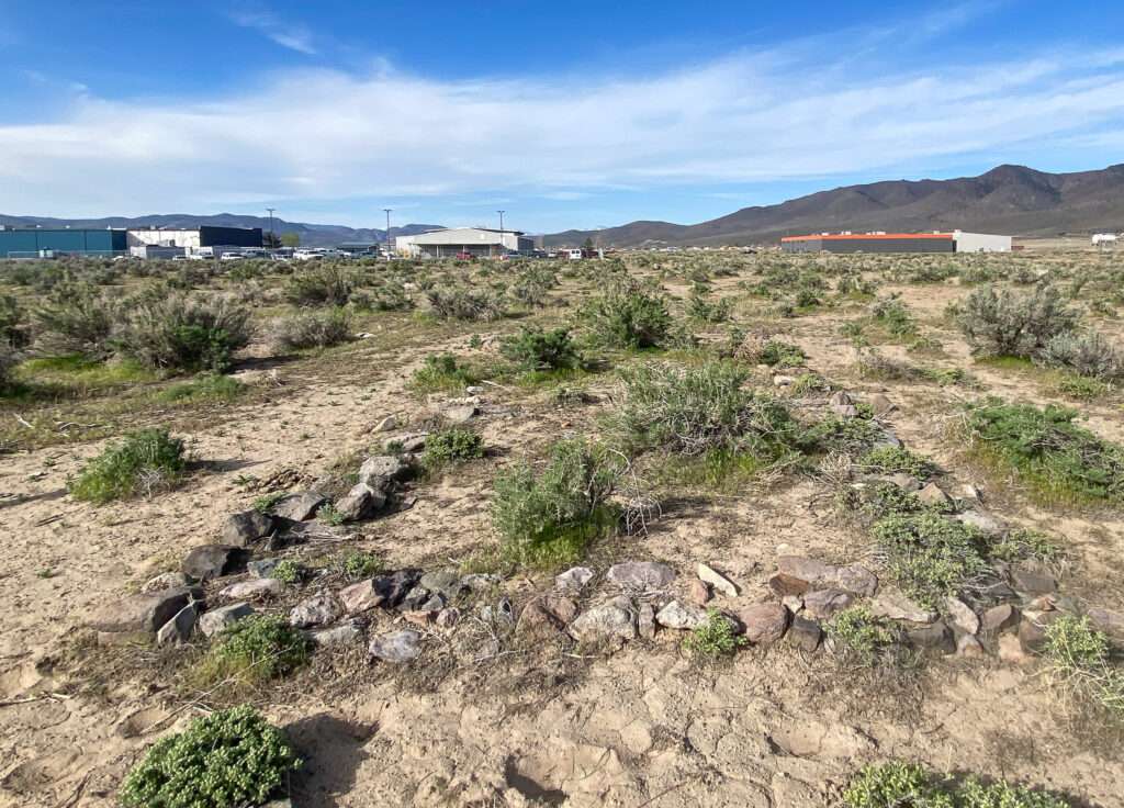
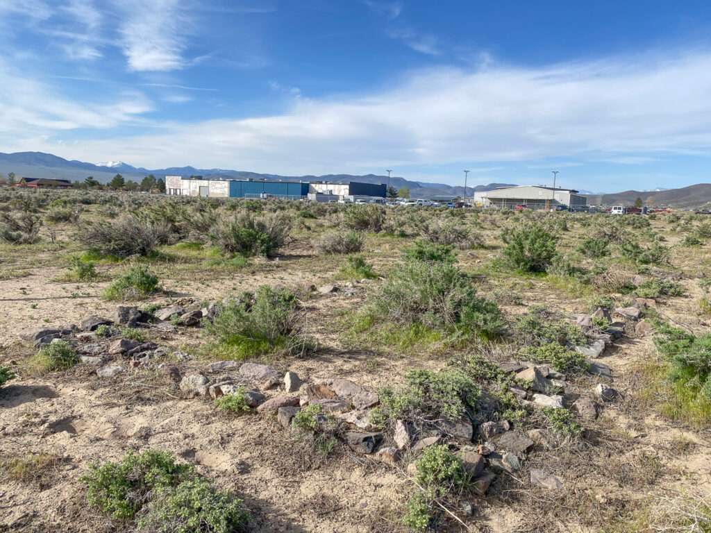
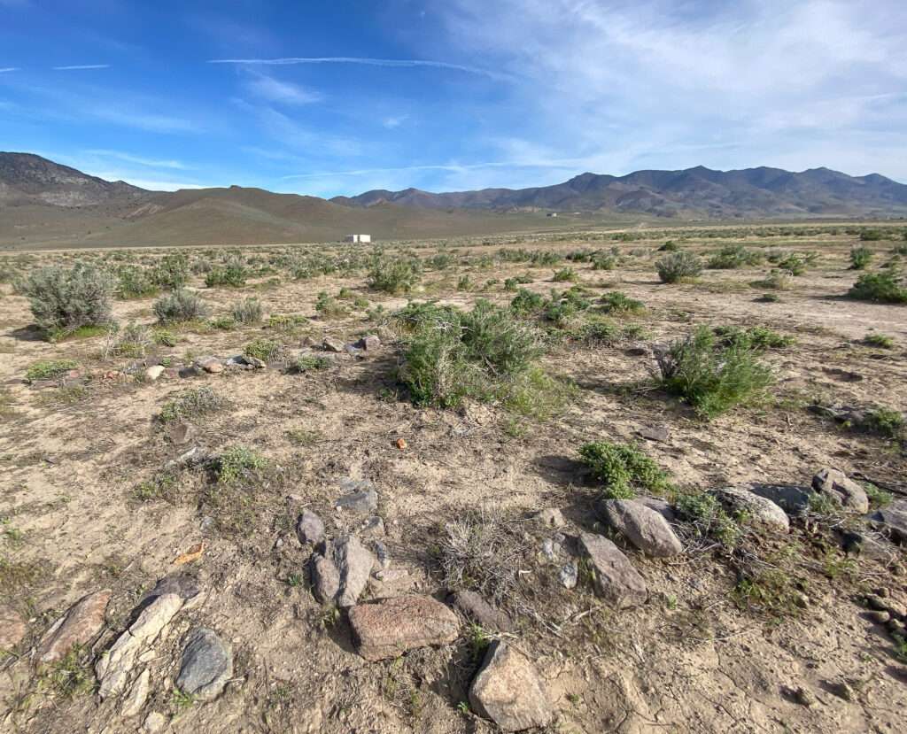
Outside of Dayton, adjacent to an industrial complex and surrounded by sagebrush, are the easily overlooked rock foundations of Adobe Station. Without the Trails West marker, the site would fade into the Nevada desert. Station stops were an essential feature on the emigrant trails; they enabled pioneers to resupply along their journey.
Carson River Route
After the horrors the Donner-Reed party faced crossing the Sierra Nevadas in the winter of 1846-7, explorers searched for an alternative to the Truckee River Route. In 1848, the members of the Mormon Battalion, returning from the Mexican-American War, prepared to leave California for Salt Lake City. They learned of an Indian trail about 25 miles south of Donner Pass. On July 3, forty-five men, one woman, 150 oxen and 150 horses and mules, 17 wagons, and two cannons began their eastward journey hoping to find a better way across the Sierras.

(Photo credit: Corp Family Society)
The Mormon Battalion route began the Carson River Route, soon to become the significant emigrant route to California. After crossing the Sierra, the Mormon Batallion headed north through Carson Valley. They followed the Carson River downriver, east until they headed north to rejoin the Truckee River Route.

(Photo credit: Wikipedia)
Joseph Chiles was a trail guide who had crossed the country three times in seven years. Drawing on his knowledge and journals kept by his diary keepers, Richard May and Edward Smith, Chiles discovered a shorter cutoff, completing the Carson River Route. In 1849, approximately 16,000 emigrants headed west to the gold country on the Carson River Route. In 1850, the Carson River Route became the primary route across the Sierra, with an astonishing 45,000 to 60,000 emigrants.

(Photo credit: California Trail Interpretive Center)
Stations on the emigrant routes
As much as people prepared for the long journey, they still needed to resupply during their trip. Enterprising individuals set up stations along the trail. They ranged from seasonal tents to year around permanent structures.
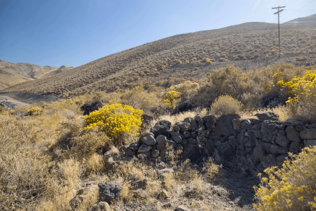
Stations sold food, clothing, tobacco, wagon parts, tools, clothes, and other essential supplies. Emigrants could also sell excess supplies to be resold by the station owner at a profit. Some, like Jamison’s Station in Truckee Meadows, would trade out fresh livestock that could carry the pioneers over the treacherous Sierra. The worn-out livestock was rested and fattened on the rich grass and water of the Truckee Meadows to be sold to following wagon trains.
Adobe Station
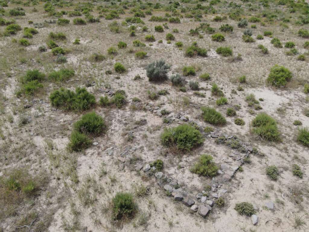
Adobe Station was one of the earlier station stops on the Carson River Route, used in the early 1850s. The owner built the station of adobe on a rock foundation. Likely with the development of Johntown at the mouth of Gold Canyon in 1853, Chinatown (now Dayton), and Stockton Well, Adobe Station probably did not last long. As groups like Trails West transcribe pioneer diaries, hopefully, new information about Adobe station will come to light.


WANT MORE GHOST TOWNS?
For information on more than five hundred ghost towns in Nevada & California, visit the Nevada Ghost Towns Map or a list of Nevada ghost towns.
Learn about how to visit ghost towns safely.

References
- California Trail Interpretive Center
- Frey, Marshall. Emigrant Trails: The long road to California. Nevada Publications, 2019. Page 135.
- Nevada Expeditions: Adobe Station
- Trails West. Carson Trail and Grizzly Flat Road. Trails West, 2020. Pages 9-22, 60-69.
- Trails West: Carson Trail
Leave a Reply