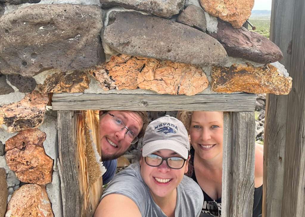
I hadn’t been out with friends Kris and Austin since last year. The weather was beautiful, but we were all tired from yard work, so we wanted a short day and debated ideas. Short to Austin and me is one thing; short to Kris is a sixteen-hour day;)
Kris suggested Aurora but I heard it is snowed in. I suggested the Silver Springs area. It is central to all of us and there were several ghost towns I hadn’t visited in the area. We came with up with a few fun stops and lunch in Dayton.
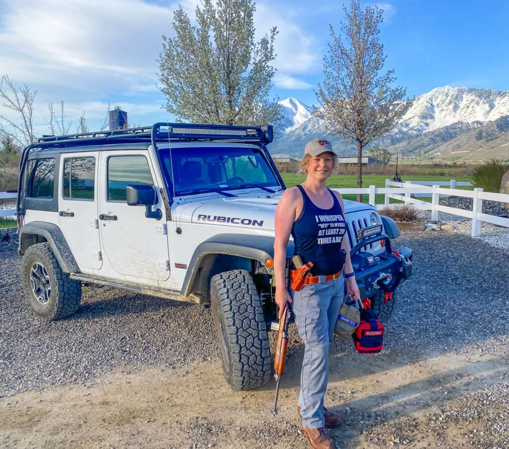
I was getting ready, and Hubby insisted on a photo of “Mom going to work.”
Adobe Station
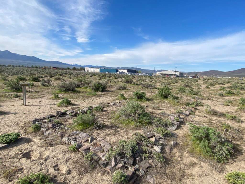
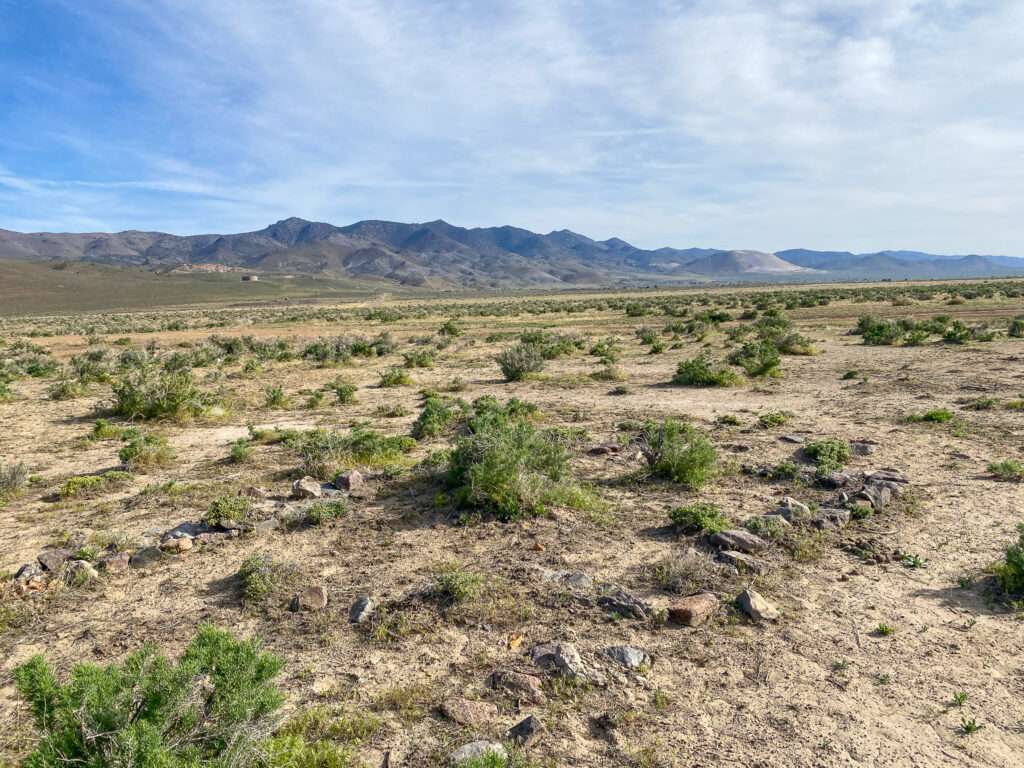
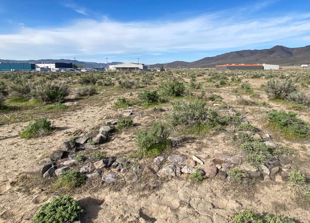
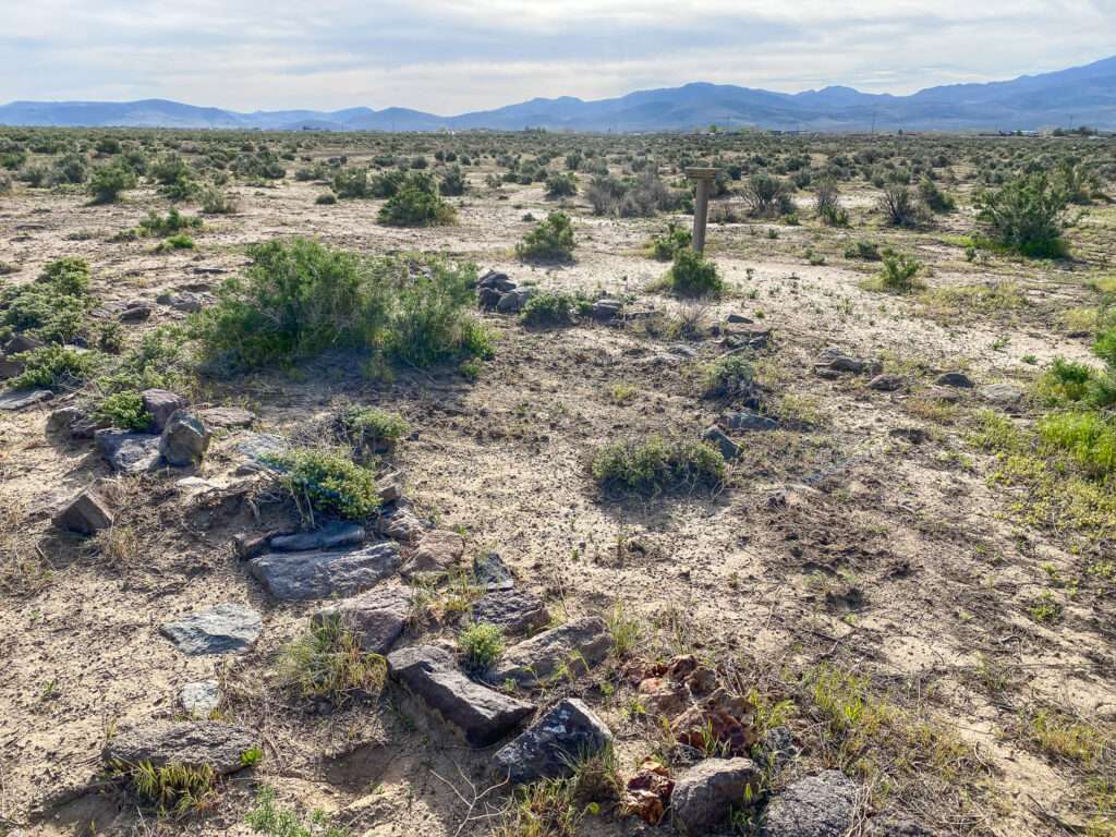
The rock foundations were part of Adobe Station, one of the early stations on the Carson River Route. This section is called the Twenty-six Mile Desert Desert Route.
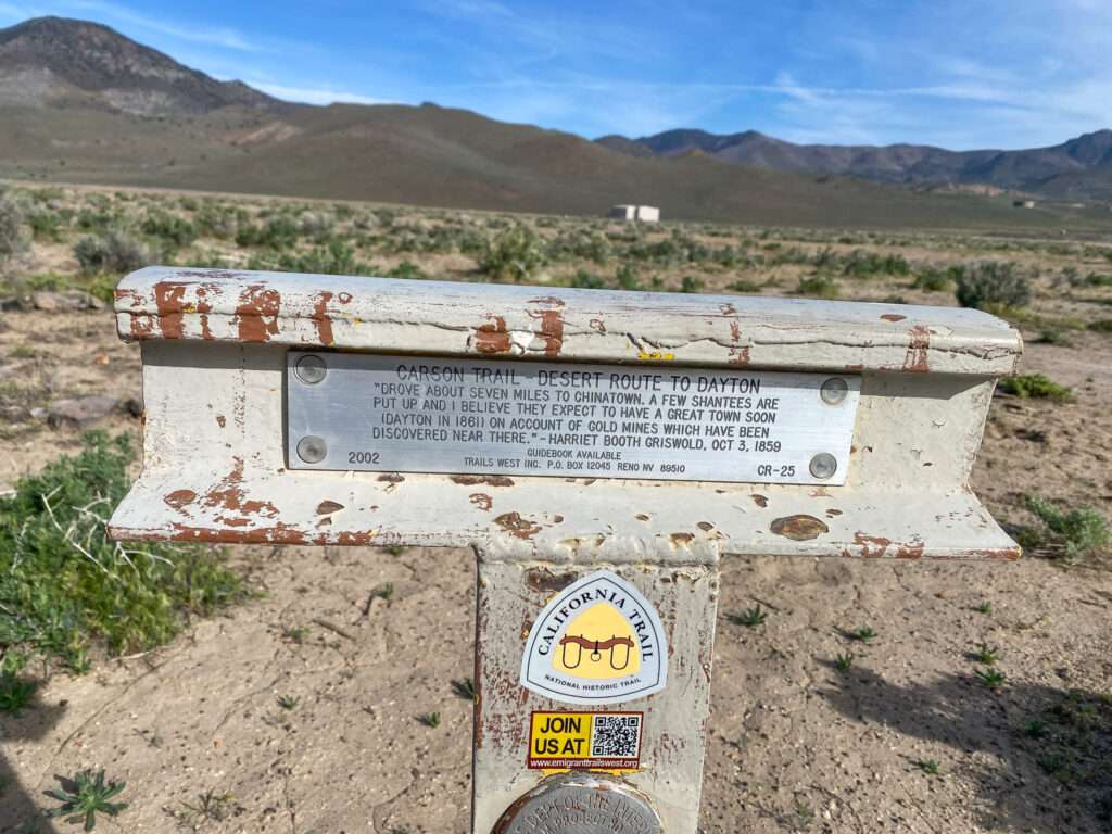
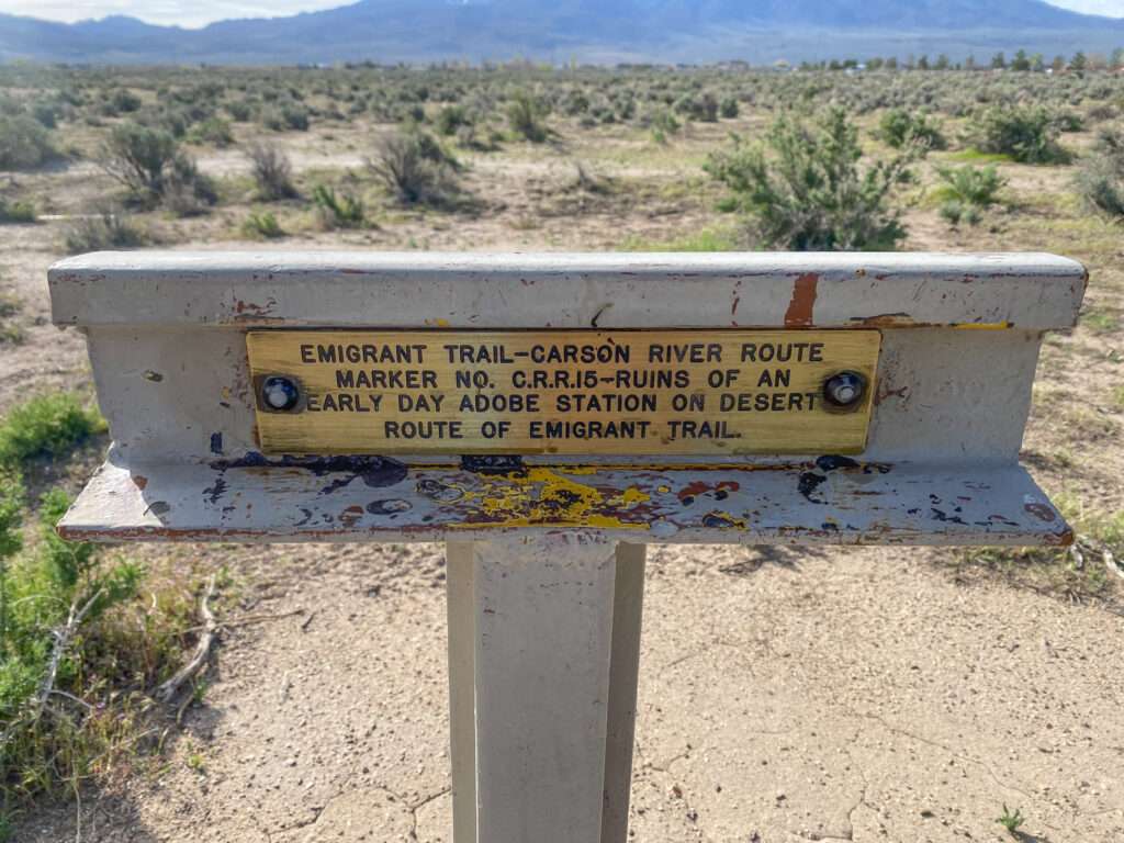
The Carson River Route was first used in 1848. The Carson River Route traverses the Sierra Nevada Mountains connecting Carson Valley, Nevada, to goldfields in California. Pioneers searching for an easier route across the treacherous and snowy range developed the trail. Over one hundred seventy years later, you can follow much of the original path. An astute explorer can observe the evidence left by the pioneers.
After the horrors the Donner-Reed party faced crossing the Sierra Nevadas in the winter of 1846-7, explorers searched for an alternative to the Truckee River Route. In 1848, the members of the Mormon Battalion, returning from the Mexican-American War, prepared to leave California for Salt Lake City. They learned of an Indian trail about 25 miles south of Donner Pass. On July 3, forty-five men, one woman, 150 oxen and 150 horses and mules, 17 wagons, and two cannons began their eastward journey hoping to find a better way across the Sierras.

After exploring Adobe Station, Kris said we could enjoy our treat, homemade cinnamon rolls with cream cheese frosting. Getting back from Hawaii and the time change, I have had several low blood sugars; this guaranteed no more lows that day! The original frosting met a sad fate, so she brought us an entire container to spread.
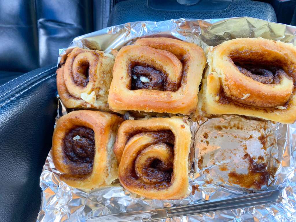
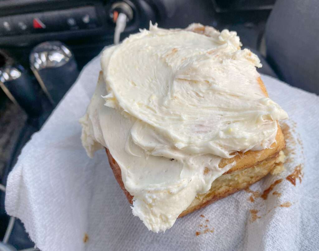
Desert Well Station
We made a quick stop at the Sign for Desert Well Station. I visited several years ago. Desert Well Station was used as a stage stop on the Overland Mail Company in the early 1860s and as a relay station for the Pony Express towards the end of the famous mail delivery service in 1861. The station was west of Nevada and east of Dayton Stations.
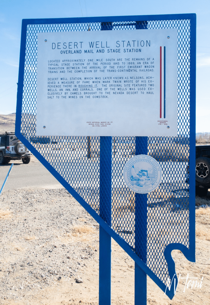
Desert Well Station survived over one-hundred-twenty years. Despite a local historical group’s efforts, in the 1980s, the station was demolished by a local citizen who believed it was a safety hazard. Nothing remains today other than a Nevada historical marker.
Talapoosa Well, well, maybe
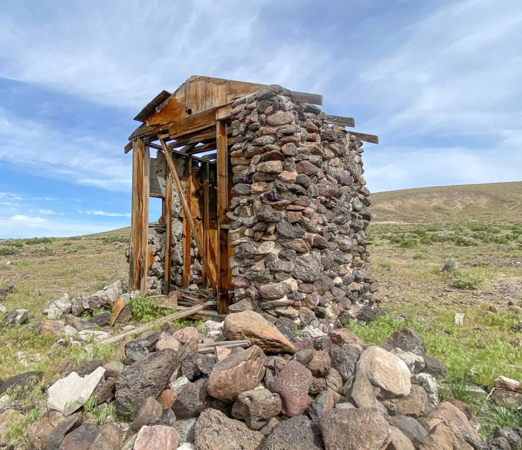
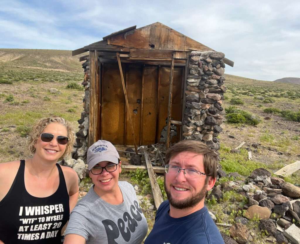
This site has no information, but Austin thinks it is Talapoosa Well.
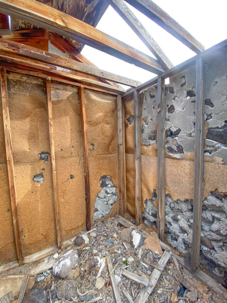
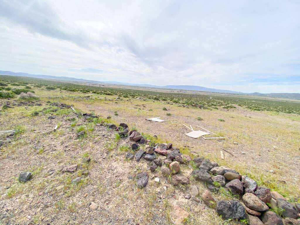
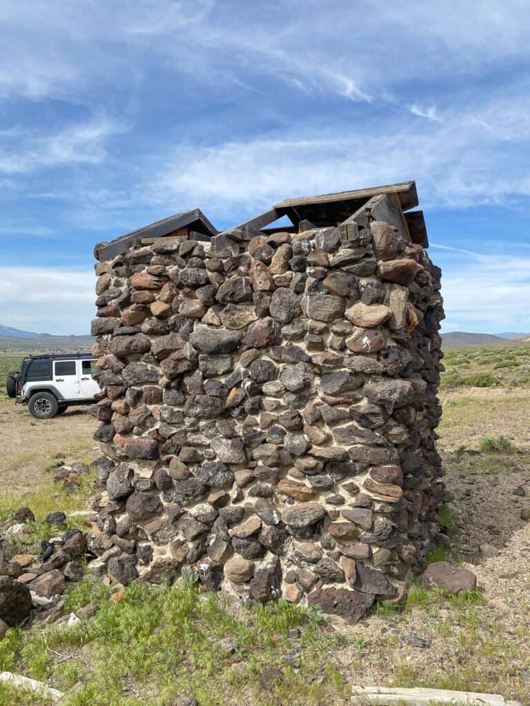
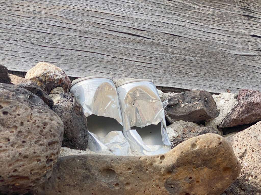
The construction is pretty modern; aluminum cans are embedded in the rock. Aluminum cans were first used in 1958, created to decrease the shipping weight of beer.
Talapoosa
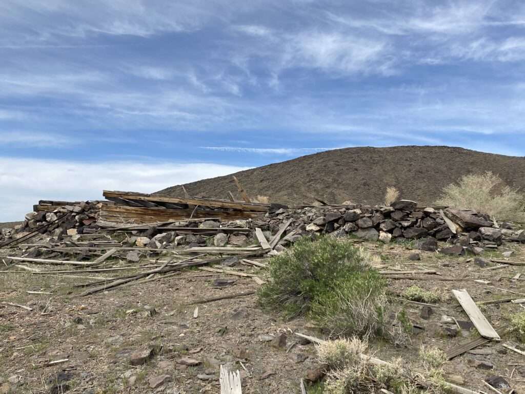
I thought I would write a quick history of Talapoosa. It should be easy; it was never big enough for a post office or newspaper. Then I started a newspaper search. There is more information than I can write here, but I started an entire article on the ghost town.
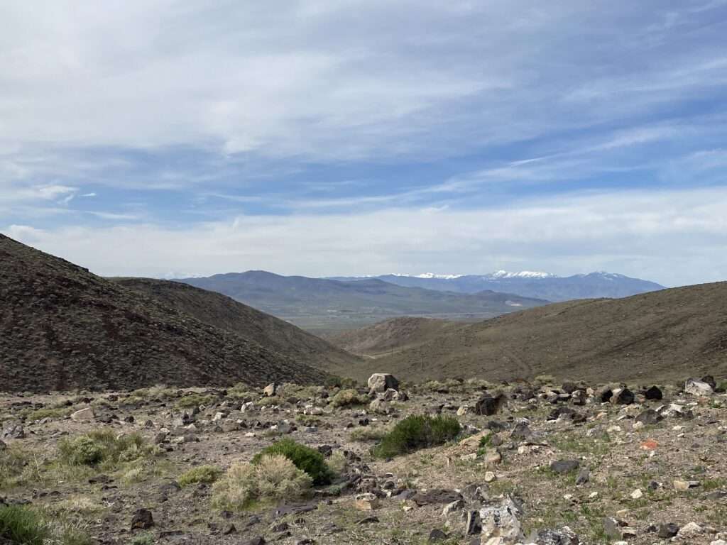
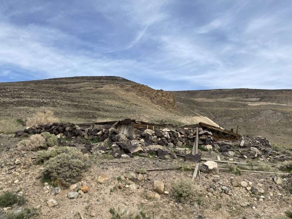
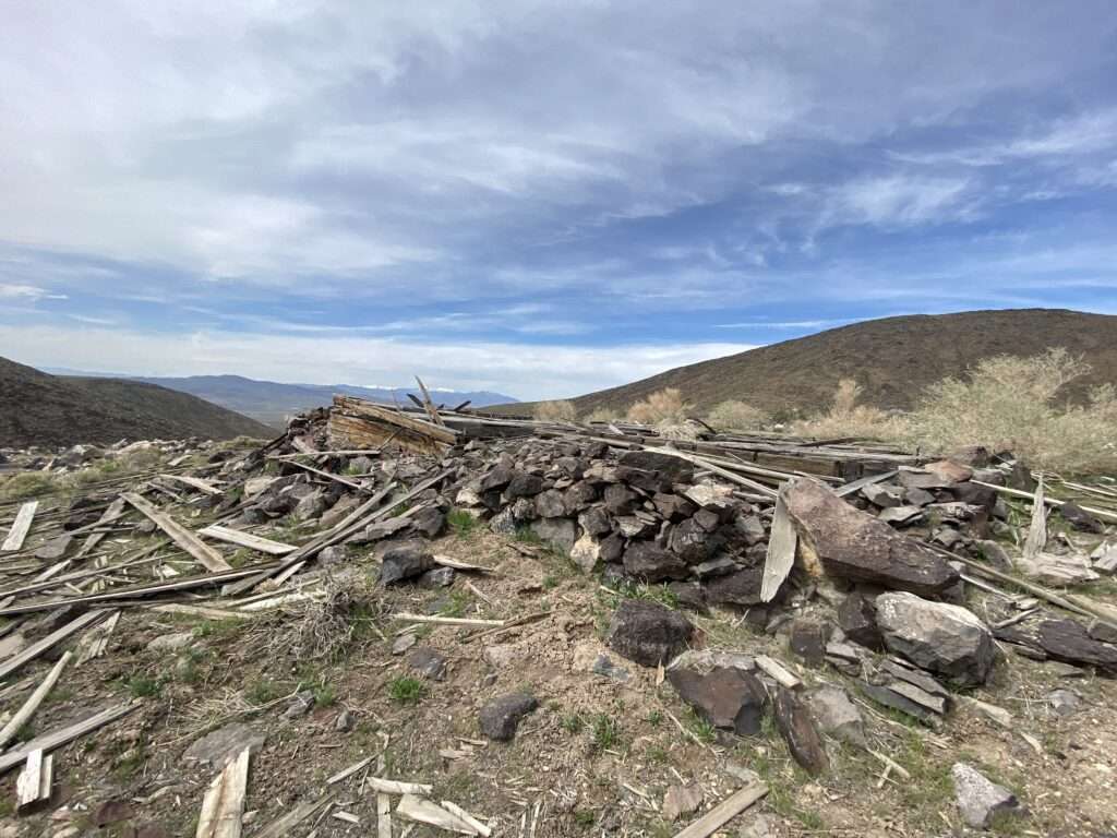
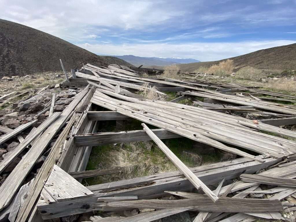
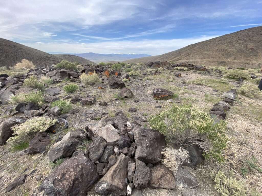
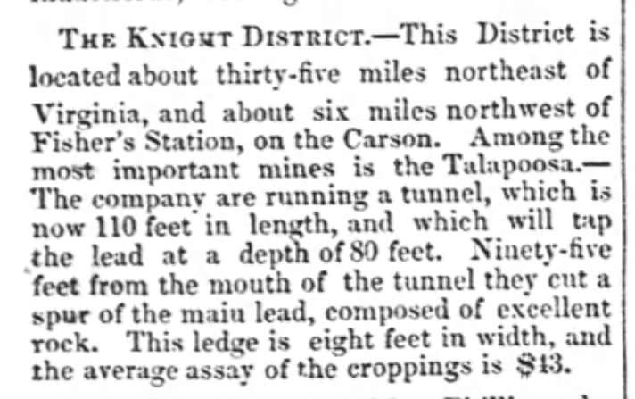
Rich silver was discovered at Talapoosa in 1863 by Virginia City prospectors. The Comstock Bonanza overshadowed Talapoosa, which faded into the background. After being lost, the Talapoosa mine was rediscovered and active in 1917. The mine’s history is fraught with lawsuits and fraud.
Hawes Station
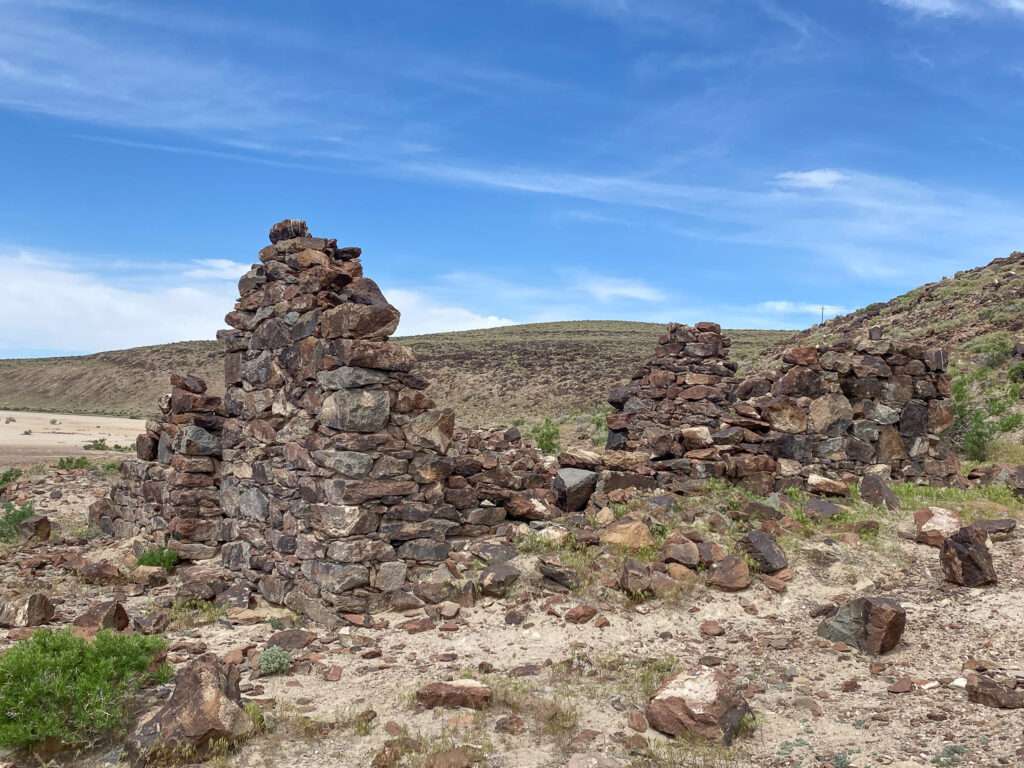
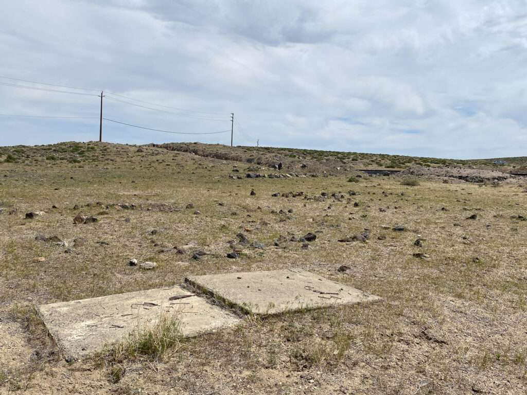
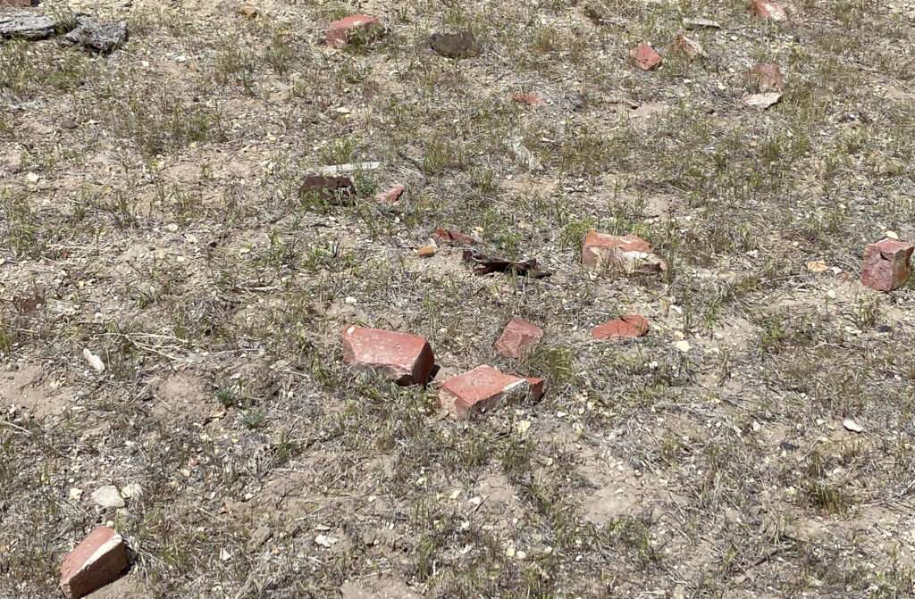
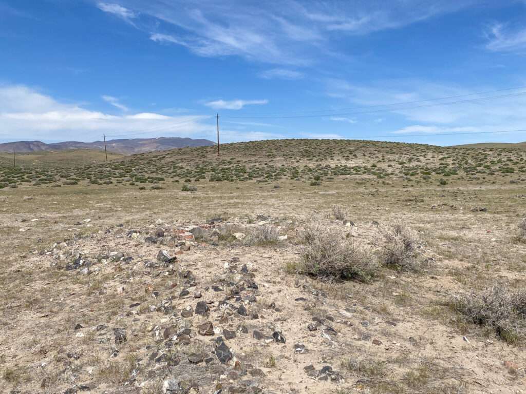
I have attempted to stop at Hawes Station several times but could never figure out how to cross the railroad and drop down from the road to the abandoned ruins.
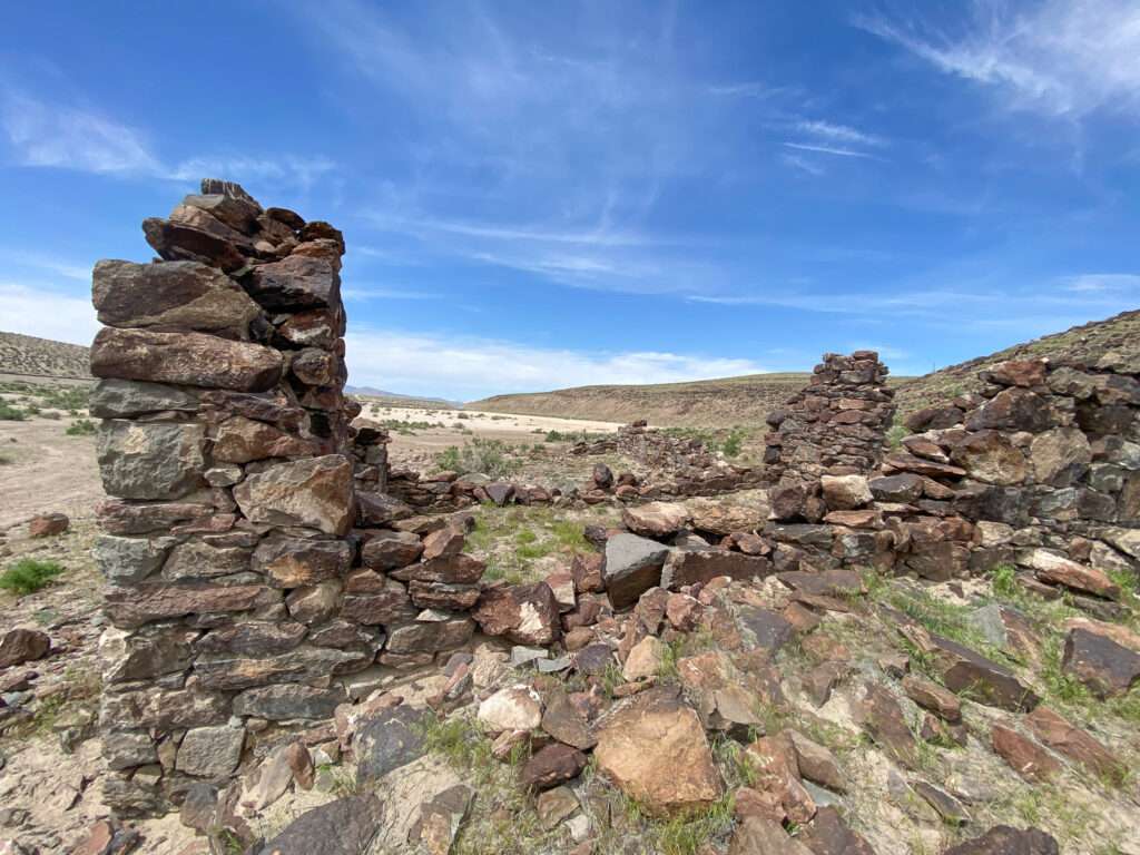
Willard (or Willet) Gates built the station in 1851. It was one of the first homes on the emigrant trail and served as Overland Mail Service and Pony Express. The station was sold several times; the last owner was Bert Hawes (Haws), for whom the station was named. Hawes Station was abandoned in the 1870s with the arrival of the train.
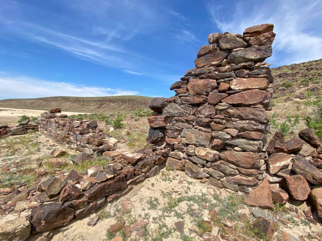
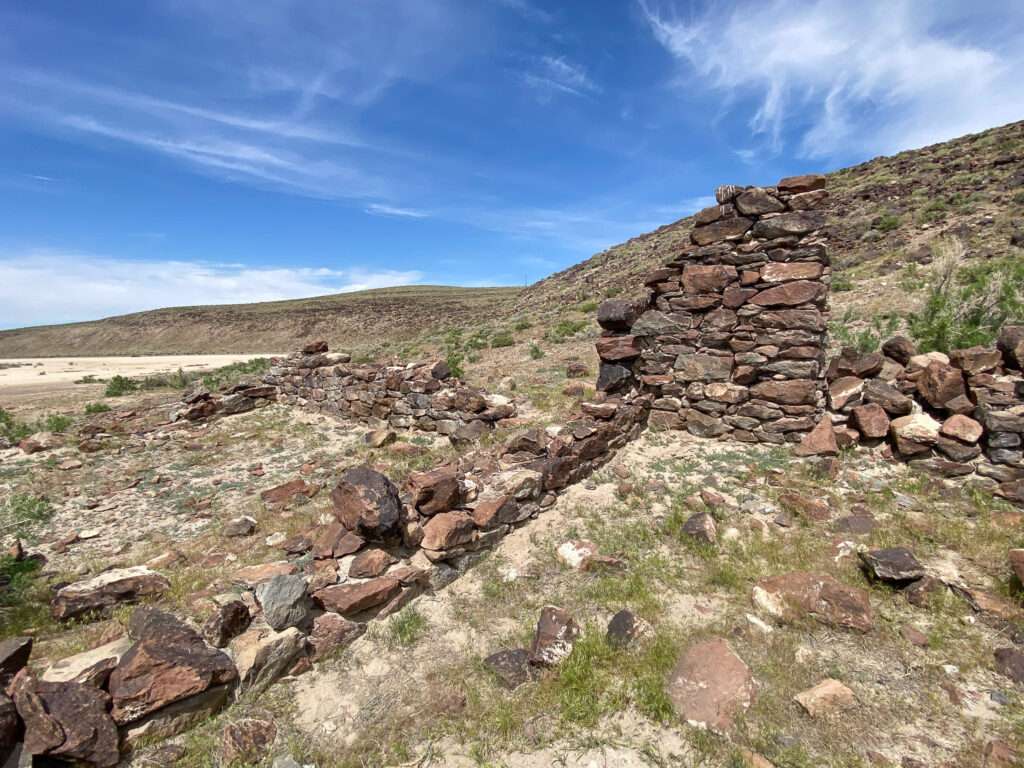
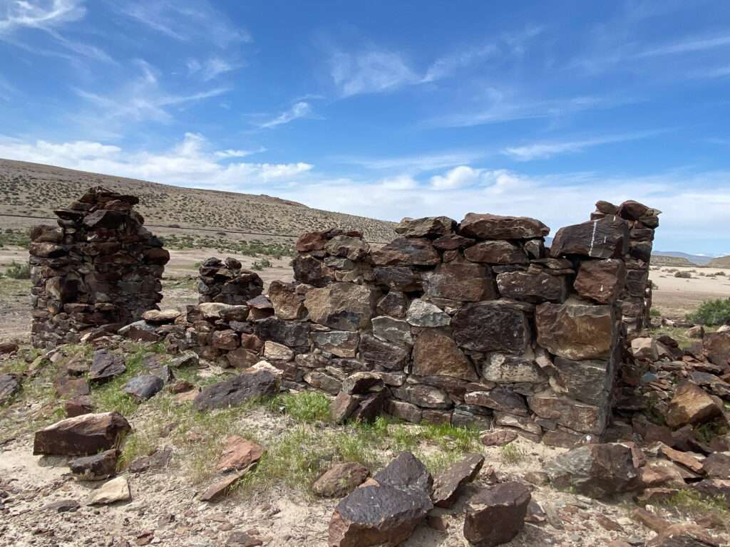
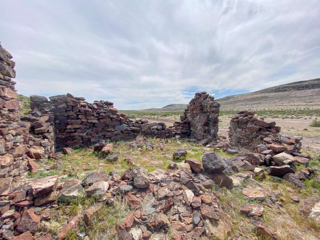
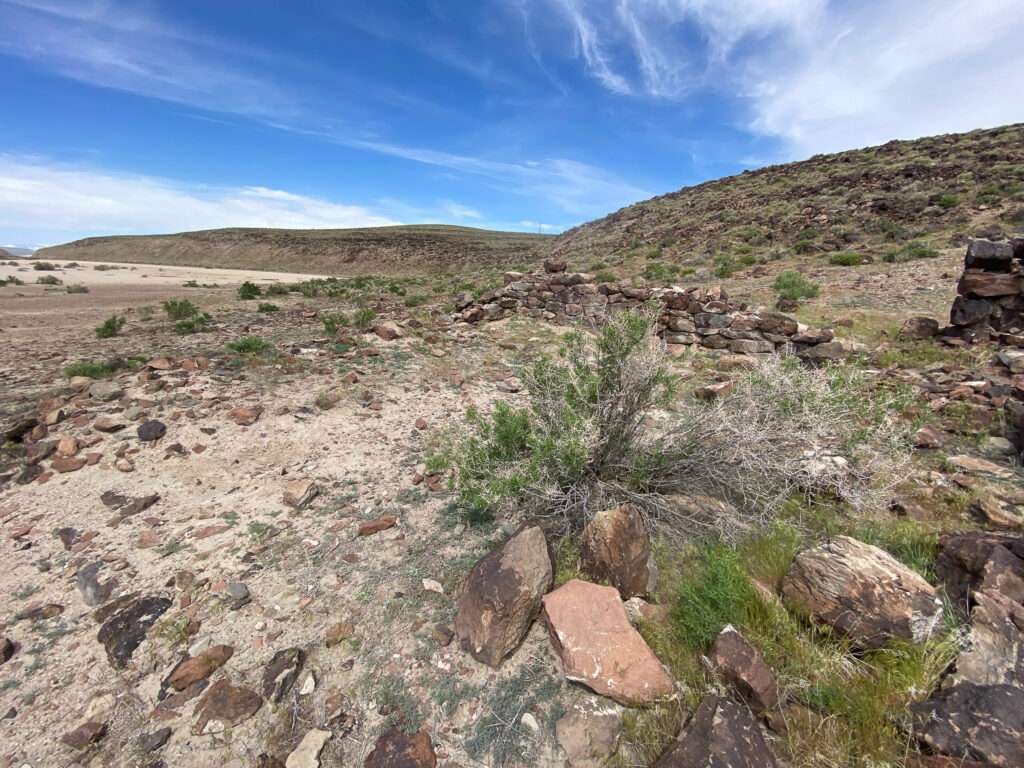
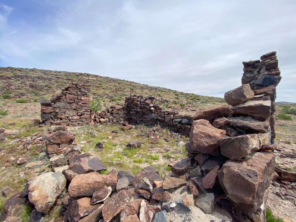
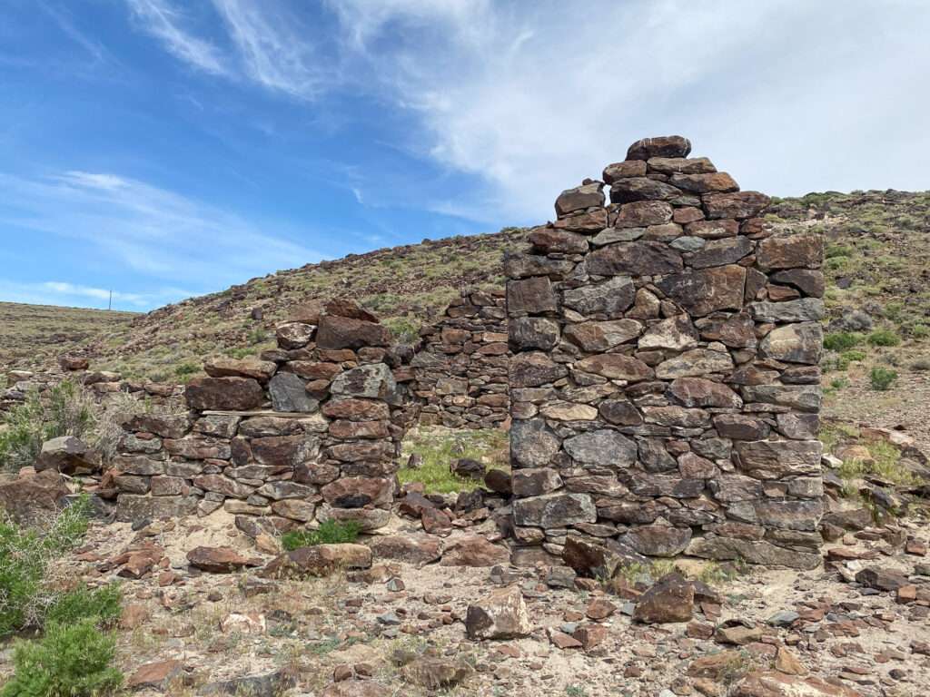
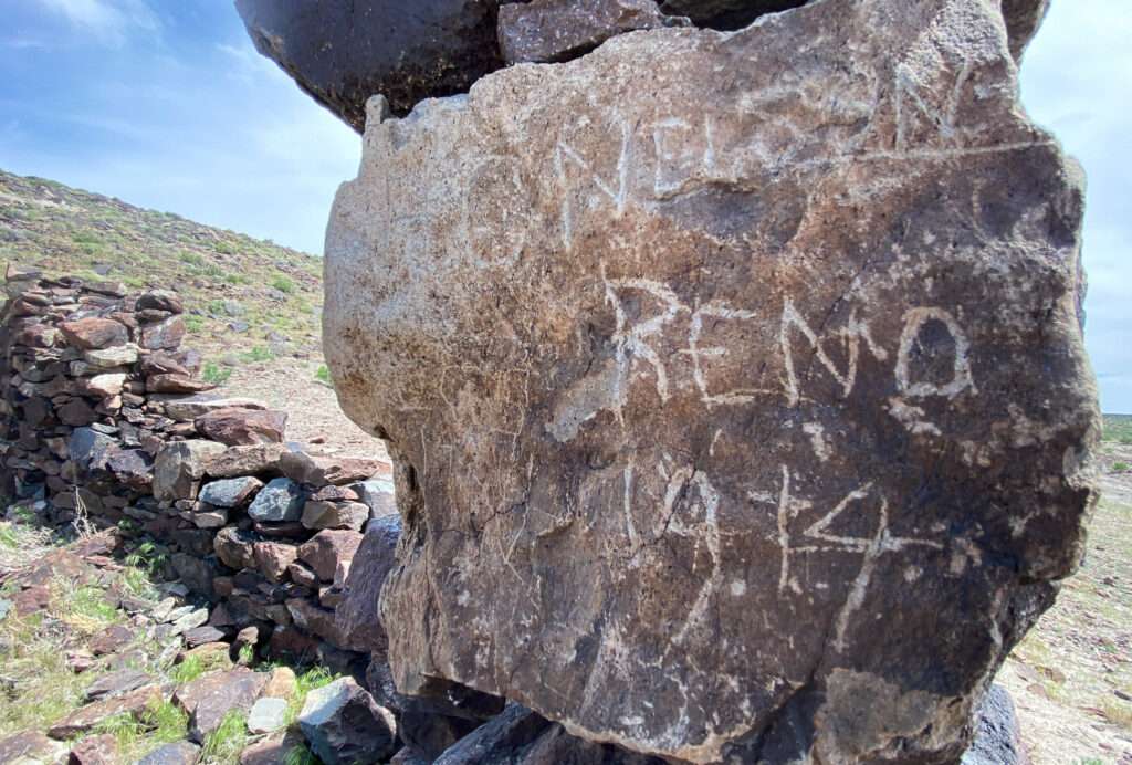
A few visitors have carved into the rock walls. One was from 1914, forty years after the station was abandoned. That puts the graffiti at 109 years old, more than double the span of time.
Filipino pictures
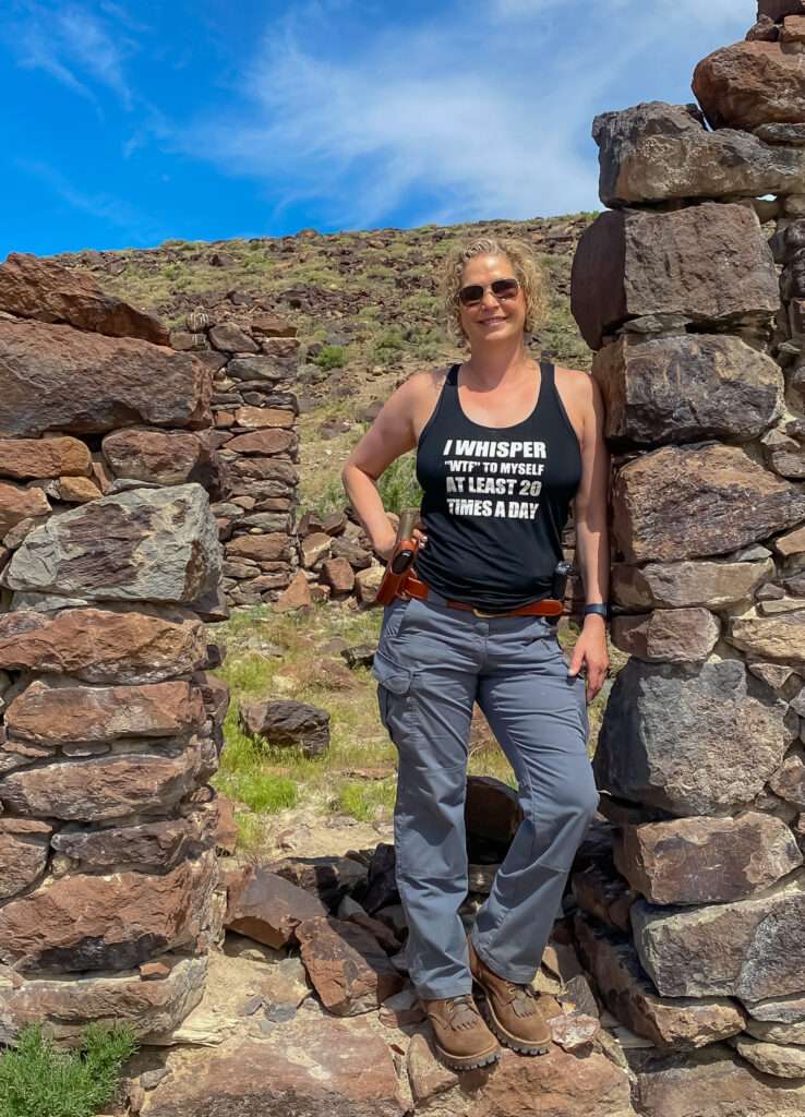
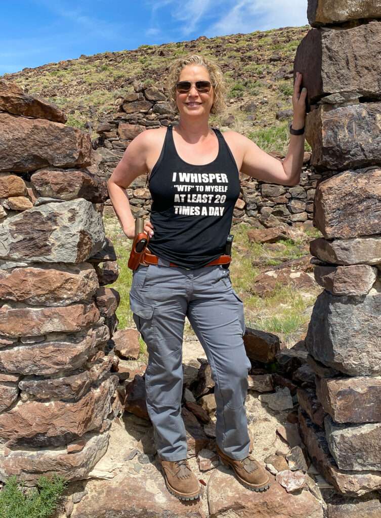
Kris is half Filipino and always keeps us laughing about how Filipino women pose for photographs and the position the men get into to take the picture. Kris put me in the position. Austin laughed, saying I looked more like Lara Croft, Tomb Raider. I’ll take it!

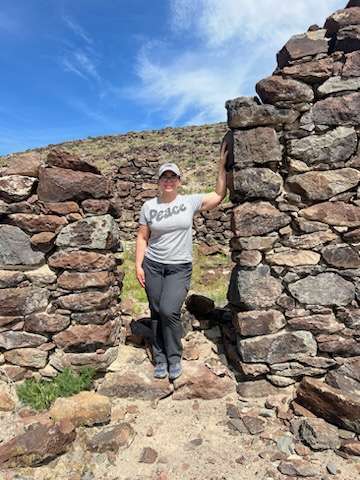
Hawes
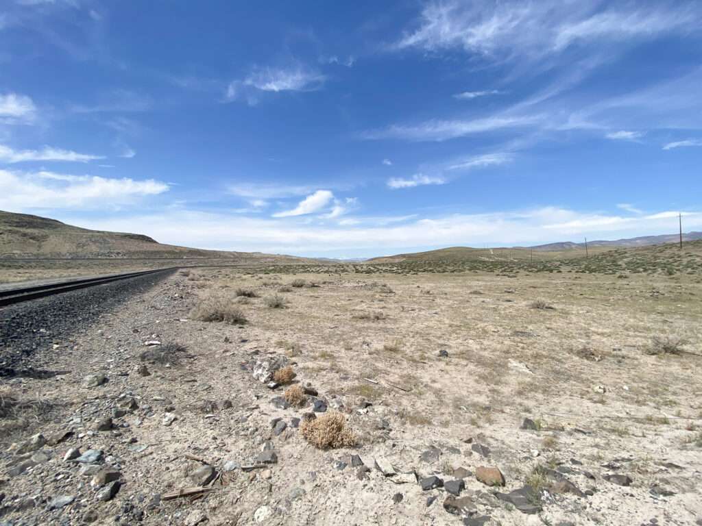
In 1905, the Southern Pacific’s Nevada and California Railroad had a station nearby sticking with the Hawes name. The railroad connected Hazen to Mina.
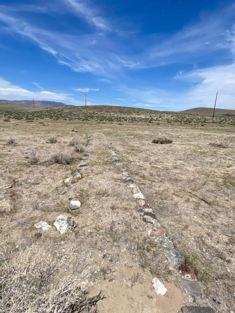
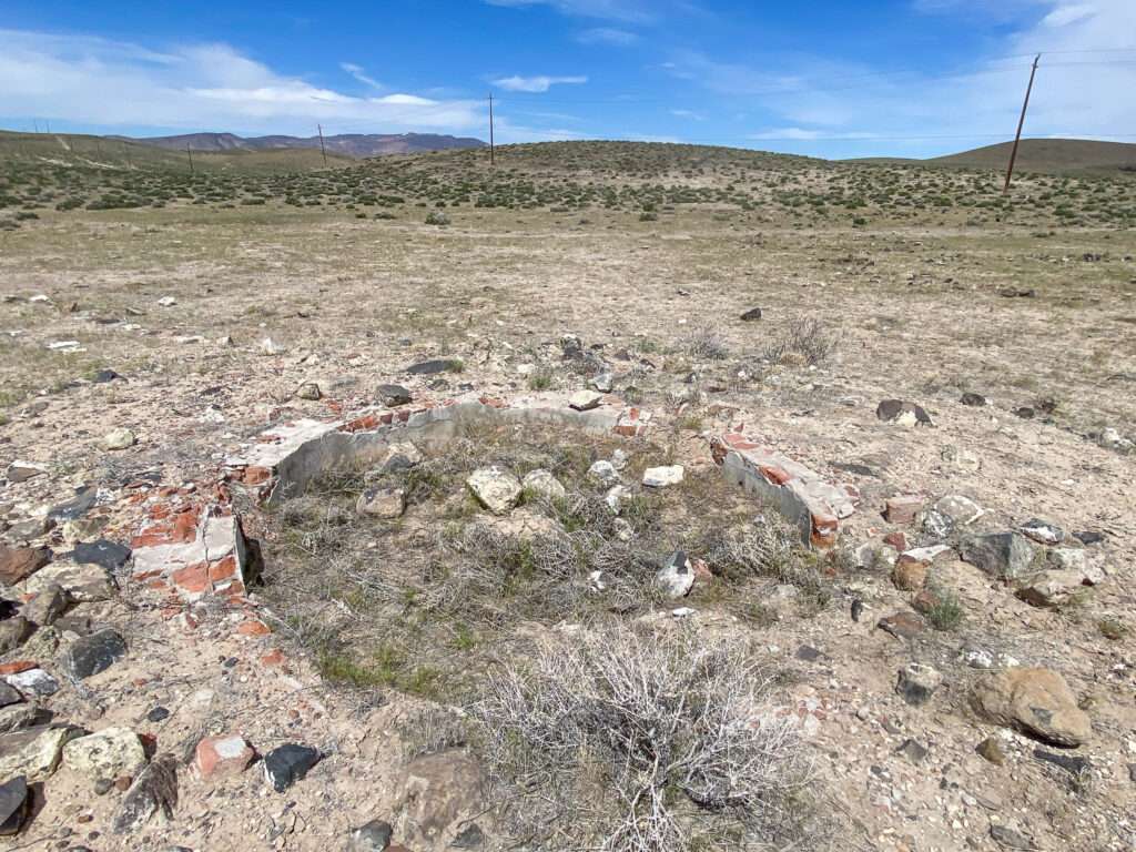
Ramsey Comstock Mine
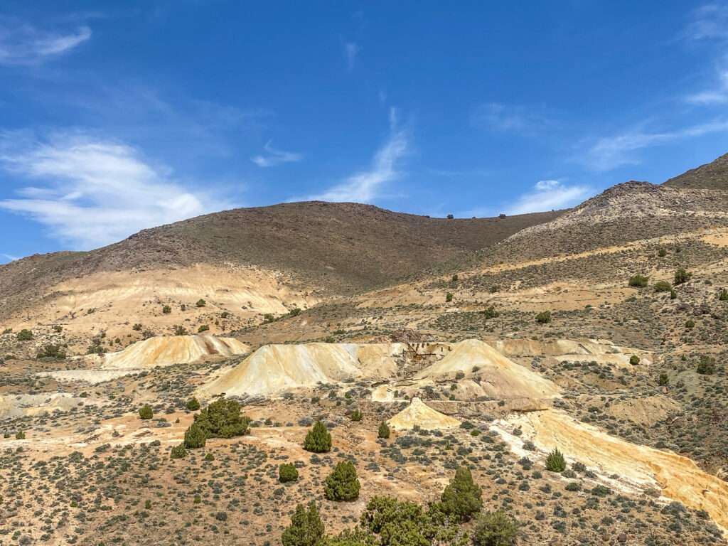
We tried to reach the ghost town of Ramsey and Tremont but there was a gate across the lot. We would see the Ramsey Comstock Mine from USA Parkway.
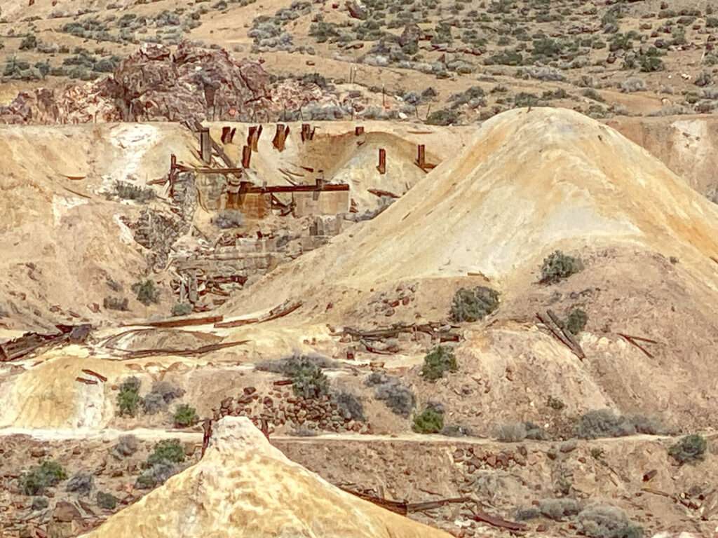
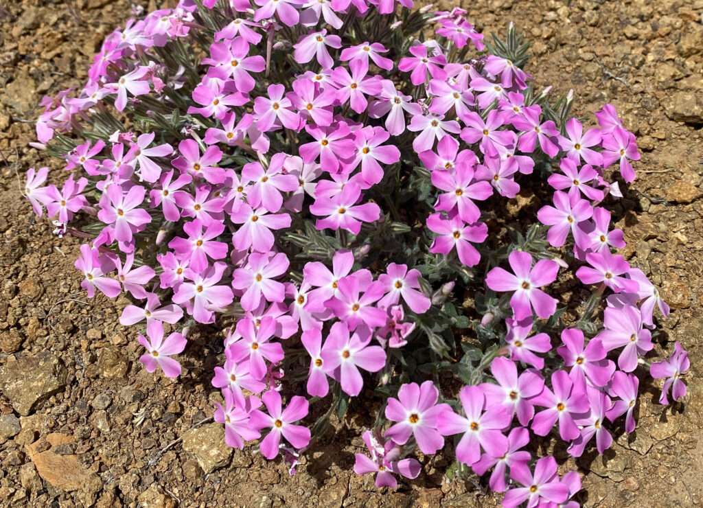
Desert Station
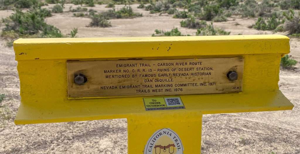
Wait, I’m confused. Desert Station, Desert Well, Desert Well Station, and another Desert Station? This one will take some time to sort out.
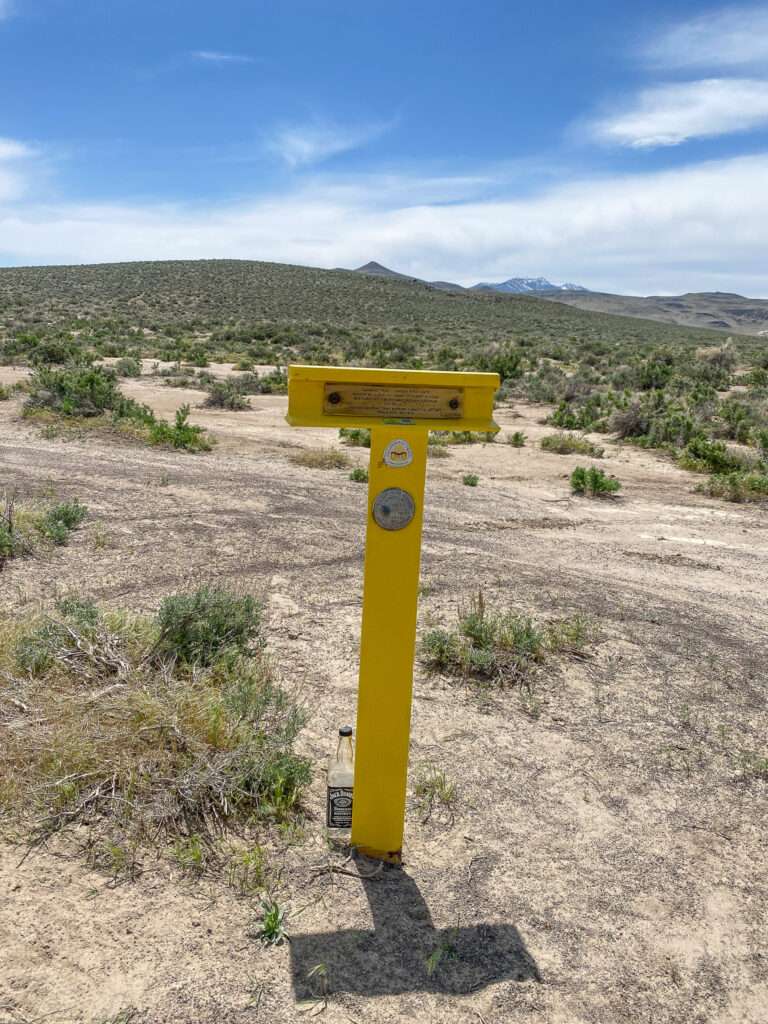
Dayton
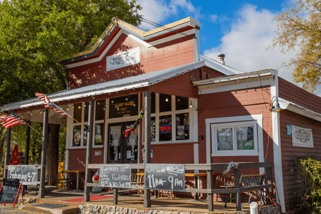
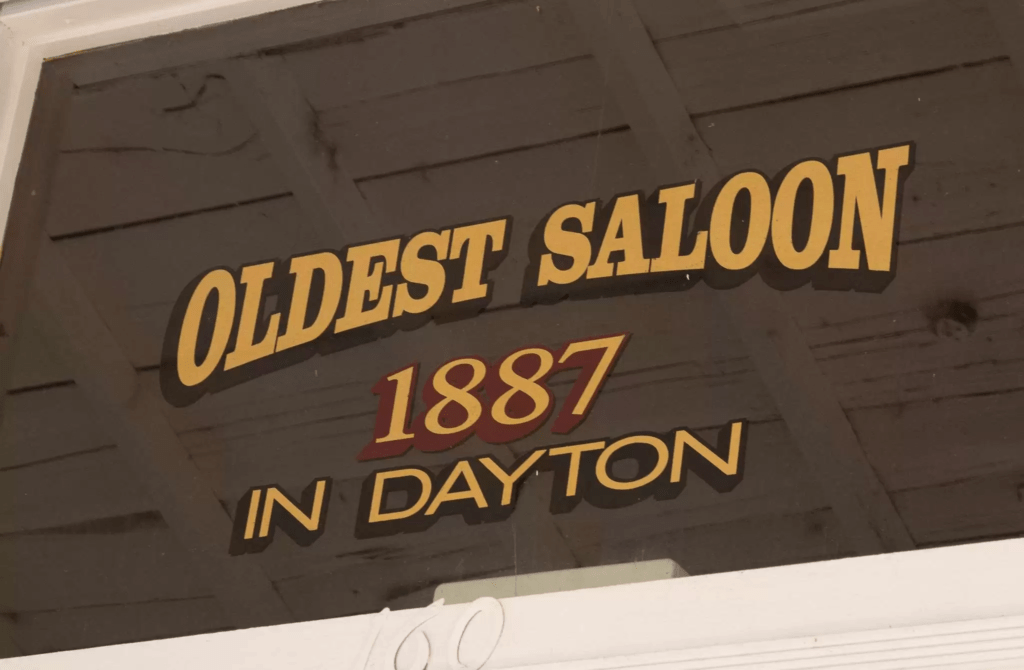
After a day of eating only cinnamon rolls, albeit delicious ones, we needed real food. We headed to the Dayton Tap House for burgers and to relax at the historic restaurant.
Mound House Grave
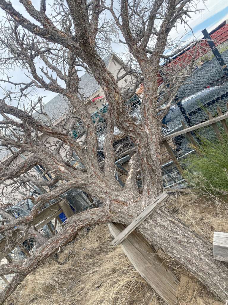
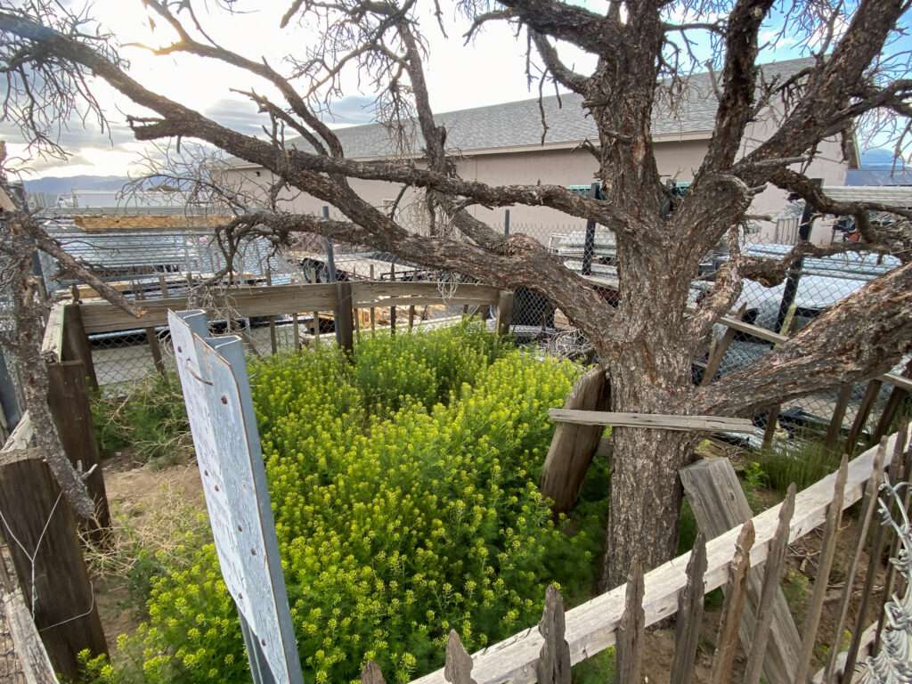
I made a quick stop to pay our respects a pioneer grave in Mound House, I was sad the see the grave damaged by winter storms. The tree has collapsed, taking down the headstone and disturbing the ground. A friend contacted the state historic preservation office to see how to proceed.
What is next?
It was a wonderful and much-needed day exploring the best therapy of all. We are planning trips for the summer and deciding what areas of Nevada we want to prioritize.
Alfred (Sonny) St. ANDRY says
The Talapoosa well, could be a remnant of a property the Badger family use to own. In the 80s, the family would go an gather rocks to build the outline of the well/vertical mineshaft the father was preparing to dig. The family had perished by the 90s. If I could see it on a map, I could tell you if that was it or not. I knew the family as well as been on the property and explored that area.
Tami says
Interesting information, thank you. If you email me I can send your the coordinates.