Tami’s Travels: Full posts to follow
I often hear that people think it requires 4WD to explore ghost towns. Some ghost towns require a high-clearance 4WD or ATV. Some require extensive hiking-or a drone. 😉
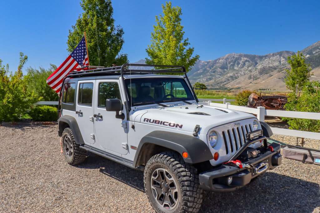
But, many of Nevadan’s ghost towns are accessible by passenger car, often just off paved or graded dirt roads. My last trip to Tonopah shows how true this is. In early July, I visited sixteen ghost towns; aside from one, I could have driven my Enclave to all of them. Even the more difficult site, I think the Enclave could have made it; it is more of a question of could have vs. should have.
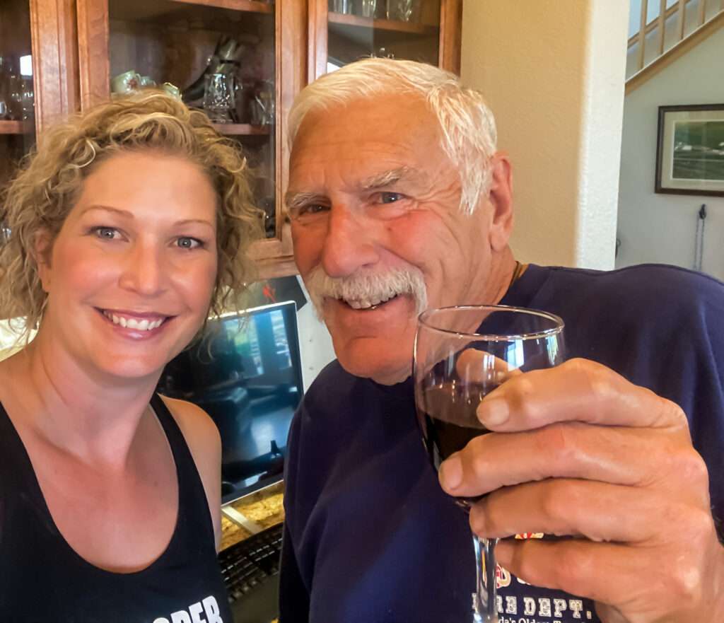
Friends were on a ghost town vacation staying at one of my favorite hotels, the Mizpah, and they asked me to show them around the Hot Creek Range. I am always excited to see my good friend, Bo, the Curmudgeon of Tybo, so I headed out to play tour guide.
Day 1
I had the best intentions for day 1. I would leave early, hit spots along the way, including the ordinance museum, then explore the Tonopah Mining Park and Central Nevada Museum. But, you know what they say about the best-laid plans. Life took over, and I left hours late.
Millers
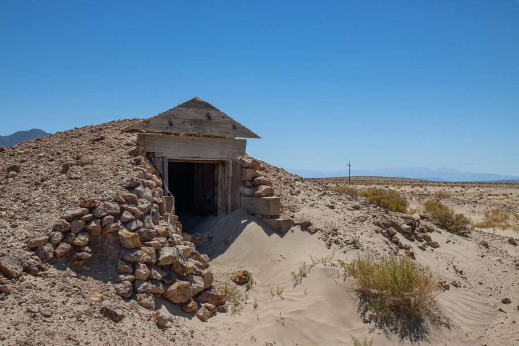
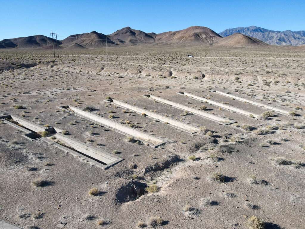
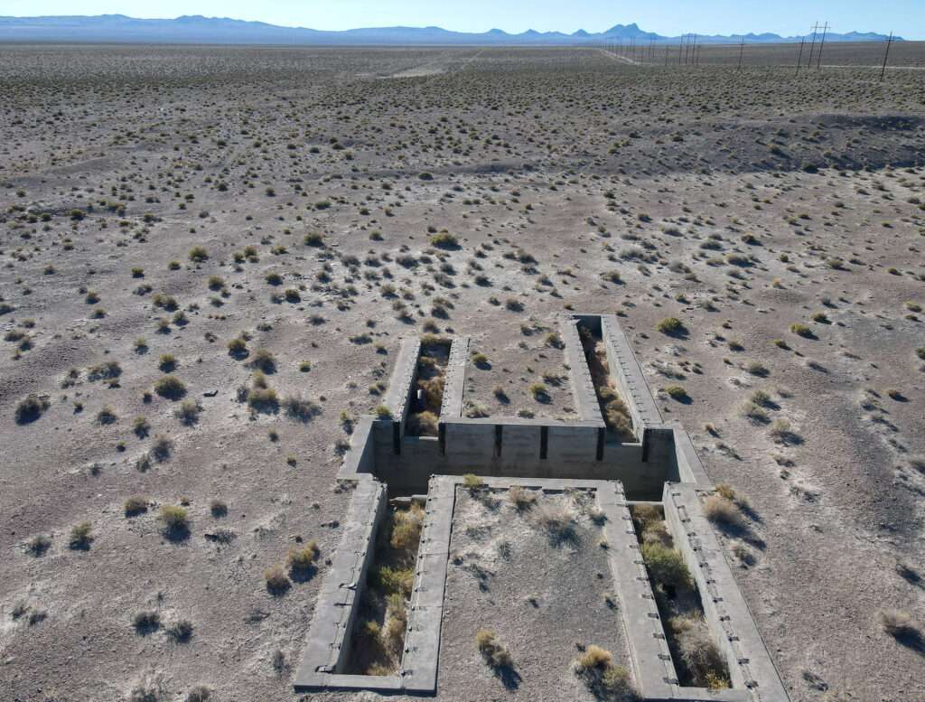
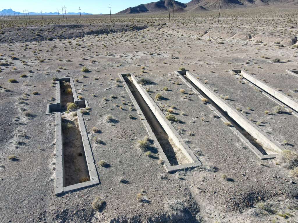
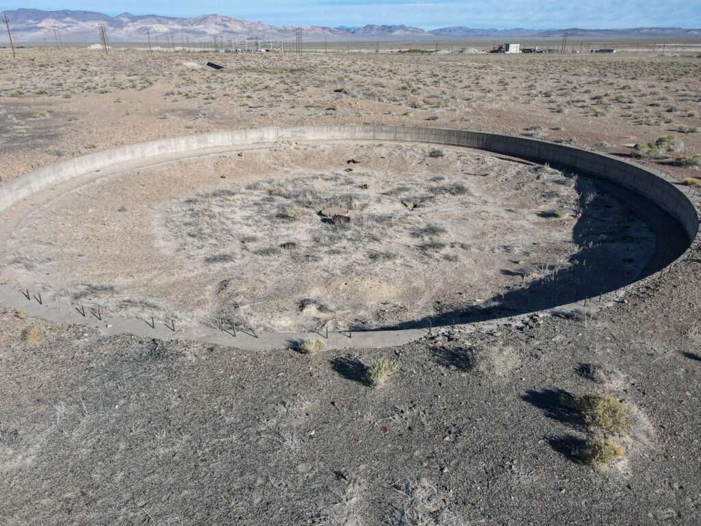
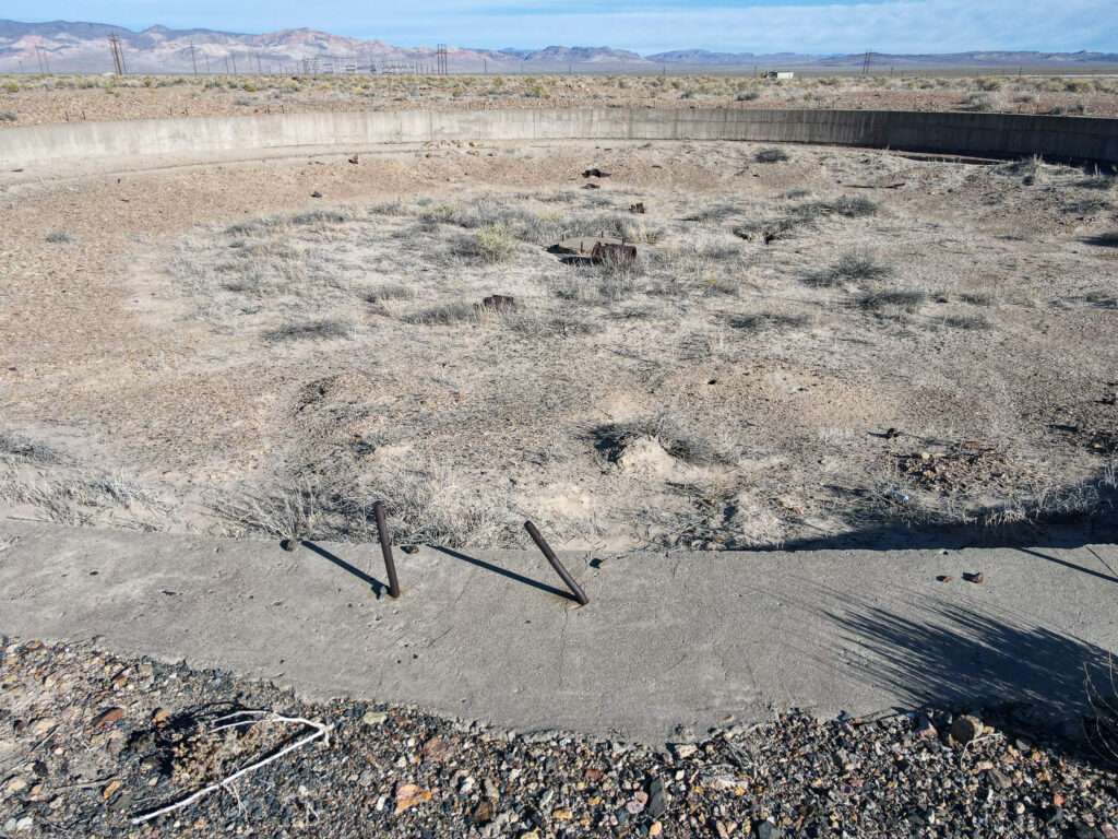
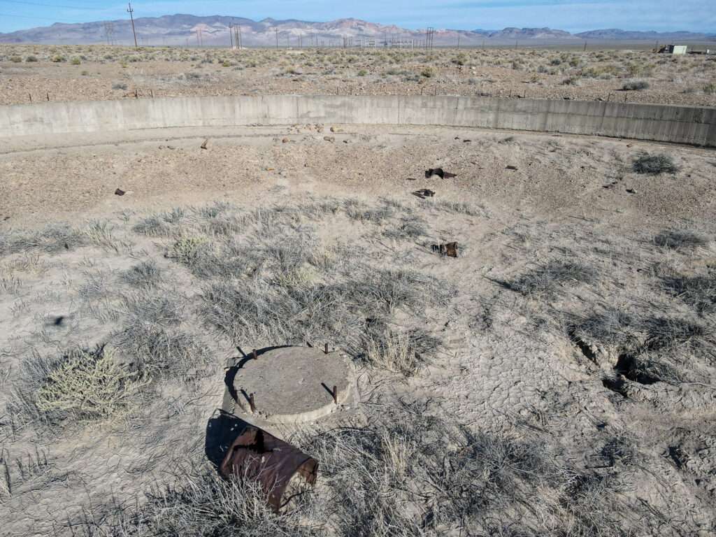
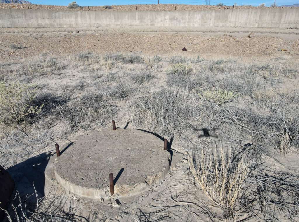
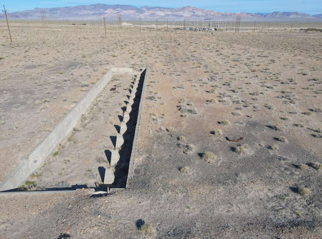
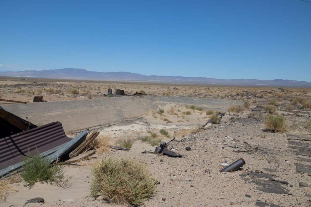
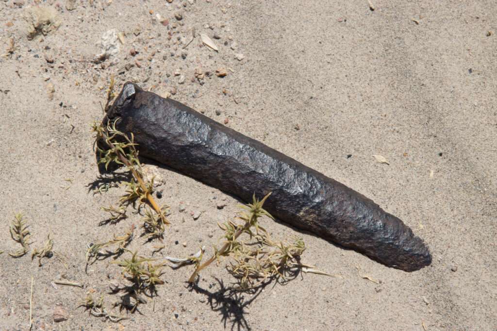
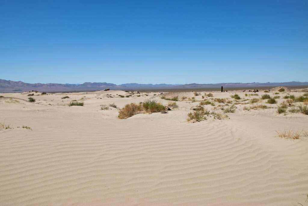
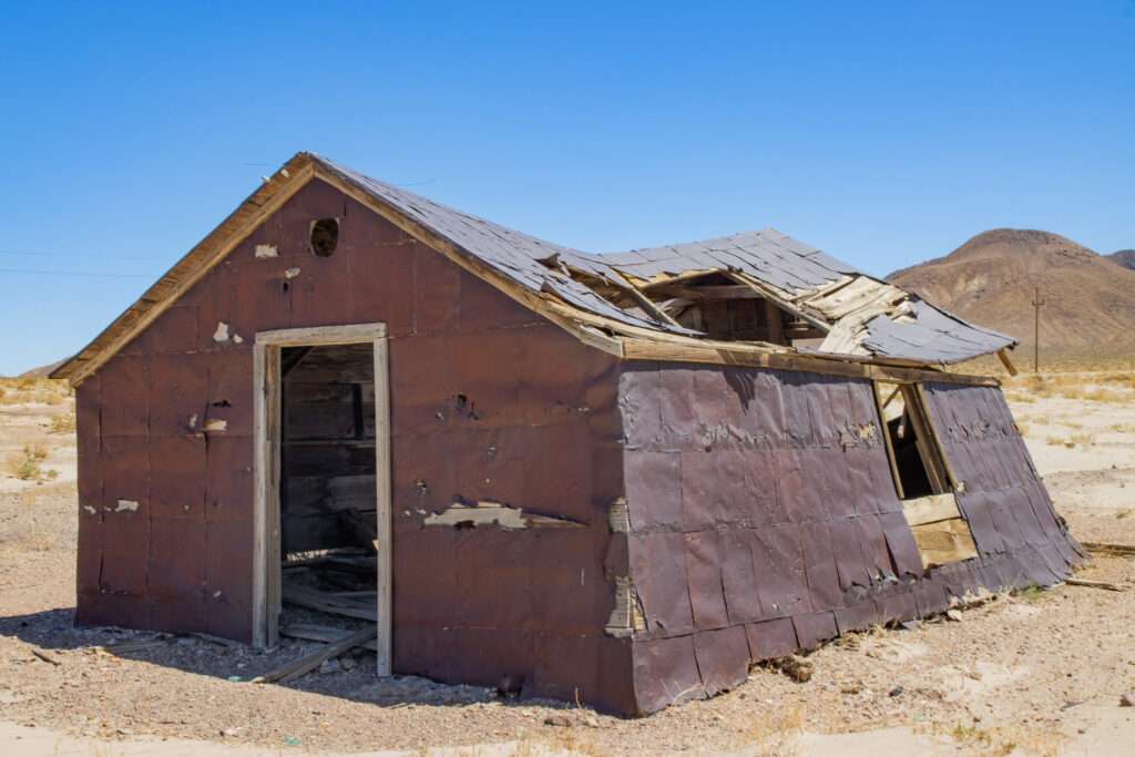
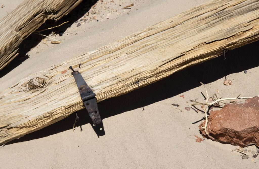
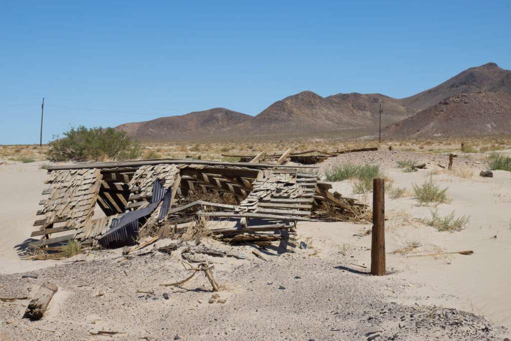
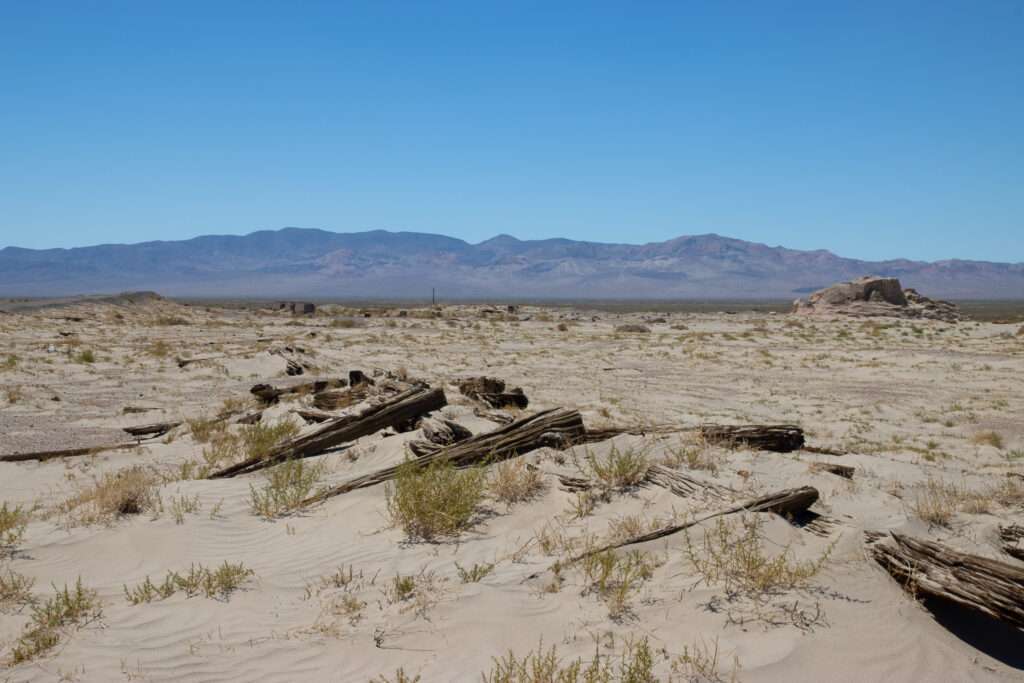
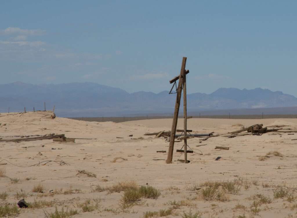
By the time I reached Tonopah, the museums were closing. So I decided to make a detour to Millers, right off Highway 95. When my friend CC learned of my trip to Tonopah, he sent me information on the railroad turntable outside of town. So I spent my time exploring the ghost town. I tried to find the turntable but was reluctant to drive too far in the sand, which buried much of the site. After studying Google Earth, I visited the turntable on the trip home.
Millers was established in 1866 and was initially known as Desert Wells Station. The station stop served travelers on the Silver Peak to San Antonio road and the Sodaville and Tonopah. With the creation of the Tonopah and Goldfield (T&G) Railroad, Millers expanded to service the railroad.

The Tonopah Mining Company built a 100-stamp mill and power plant in 1906. Millers believed it would become the be the next big shipping area. However, in 1910, T&G moved structures to Goldfield, and the Tonopah Mining Company relocated to Tonopah, dashing hopes. With the dismantling of the T&G railroad in 1947, Millers became Nevada’s newest ghost town.


Mizpah

I have probably stayed at the Mizpah more in the past two years than any other hotel. I love the historic building, staff, and restaurant. I rarely go to bars, but I love Mizpah’s lobby bar, where you can meet many interesting people. I usually end up talking with the mining engineers.

A little-known fact is nothing you eat on a ghost town trip counts😁. So it was the Pitman’s Cafe chicken fried steak, mashed potatoes and gravy for dinner. Travel tip, check out all the packages for rooms online. This is the second time I booked the “Romance Package,” which included Lady in Red wine, wine glasses, and chocolates for less than a standard room.


Day 2
After a yummy breakfast at Pitman Cafe, I was a little healthier in the morning, and securing coffee at Beans & Brew, I headed out with my friends to explore the Hot Creek Range.
McKinney Tanks

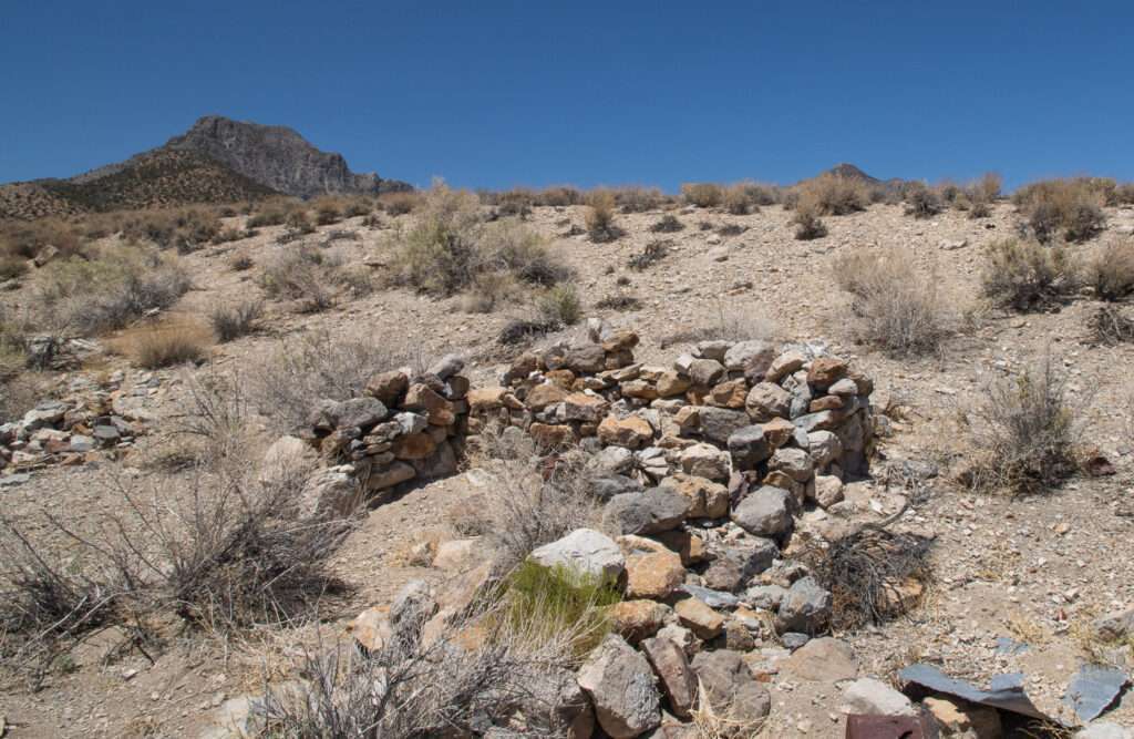
Driving between Tonopah and Tybo, my travel companion noticed a cottonwood tree and campsite off the road, then spotted the stone ruins and turned around. I have driven this section of the road several times but never noticed the ruins, mostly hidden by a small hill and the green tree.

Writing the travel update for the trip, I thought the section on McKinney Tanks would be a sentence or two at most, as little information is available in print or online. Then a newspaper title caught my attention. I wasn’t going to write any new ghost town articles, but after reading the headline, I couldn’t help myself.
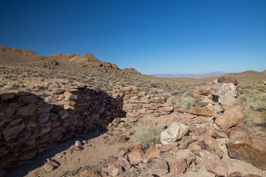
The few people who know about McKinney Tanks agree it was likely a stage and water stop for travelers. Stage stations are approximately five miles apart. They provided food, restroom facilities, and often a place to stay the night. McKinney Tanks was an excellent location for travelers between Tonopah, Hot Creek, and the Reveille areas. Many of the areas, like Mountian View, were mined in the 1870s, so it is possible the station dates to this period. Other stations like Pritchard’s Station dot the Hot Creek Range.

News articles paint a picture of life in McKinney Tanks in the early 1900s, including the infamous turkey jailbreak and an impromptu team of sled dogs confused by the term “mush” dumped their owner into a snowbank at McKinney Tanks.
Tybo
After the stop at McKinney Tanks, we headed to Tybo to meet Bo, the “Mayor of Tybo.” Last summer, I spent a week in Tybo exploring the Hot Creek Range. It was an amazing week, like hanging out with my cool uncles.
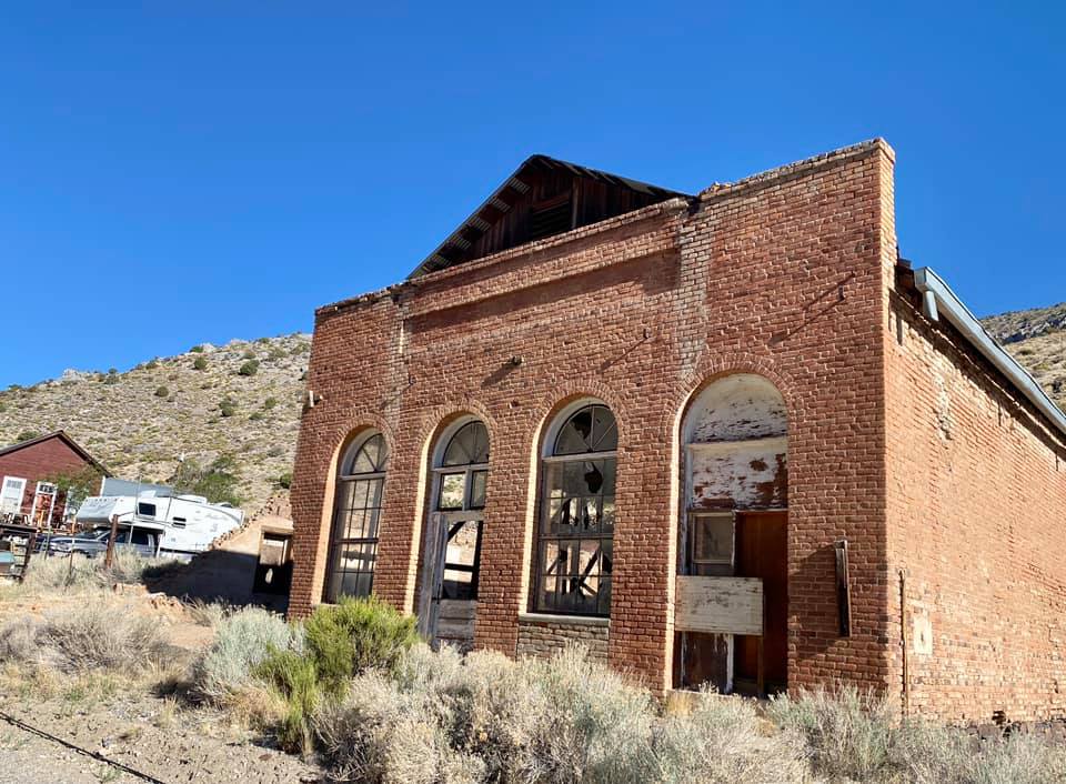
Bo and I debated where to visit in our limited time. It was a hard decision as you could spend a week in the area and still not scratch the surface. We opted to hit the highlights, some of which I was excited to photograph again as the sky was smoky the previous year.
Tybo Kilns
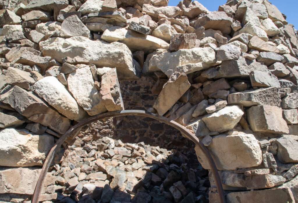

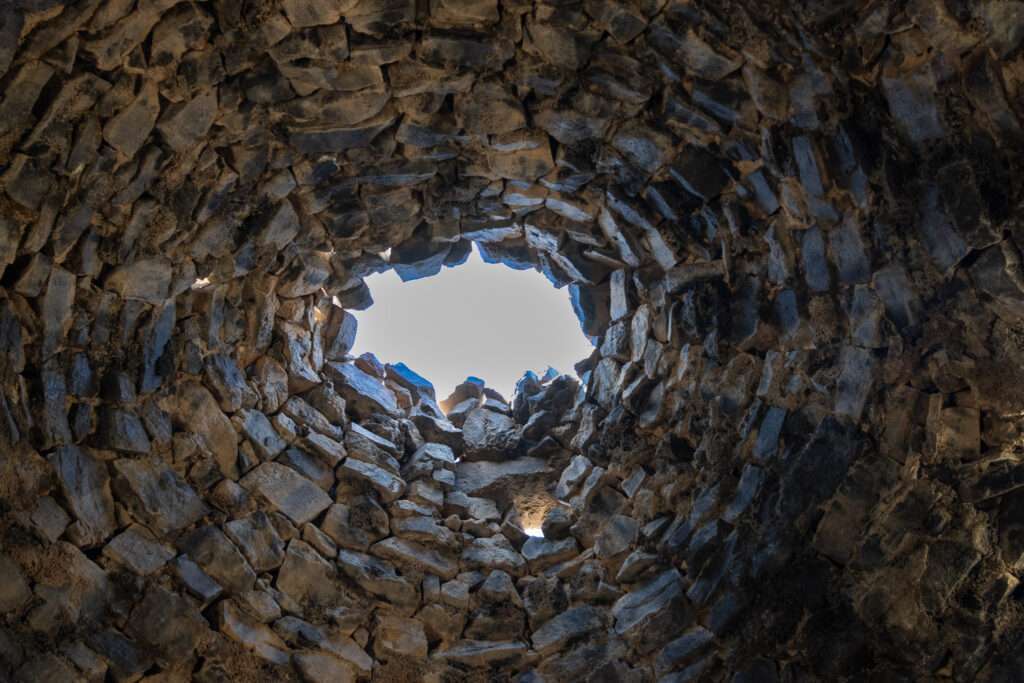
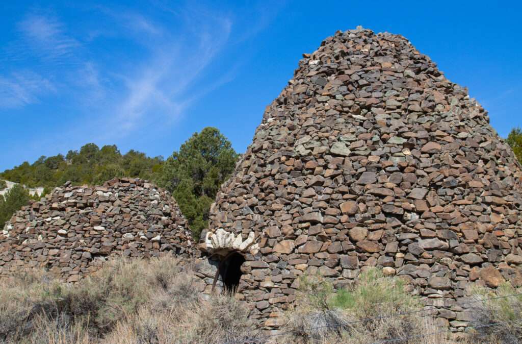
The kilns were the one destination you might want 4WD. The road was good but had one partially washed-out section. I am half-tempted to drive my Enclave up, just for research purposes. 😉

The Tybo Consolidated Company built the stone charcoal kilns in 1874. Local pinion pine was used to create charcoal which powered the company’s silver smelter.
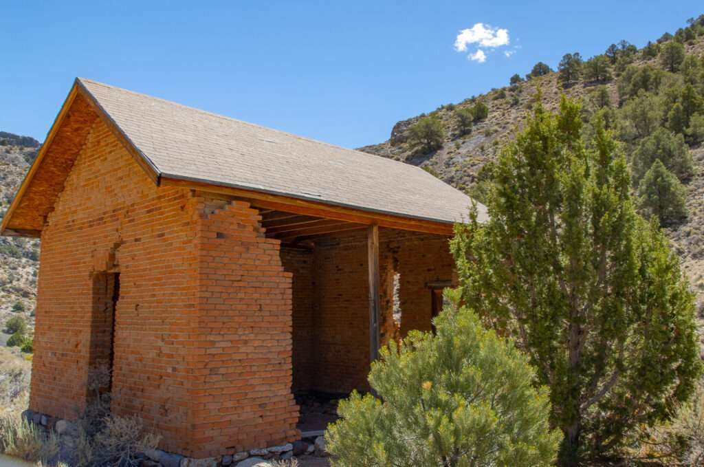
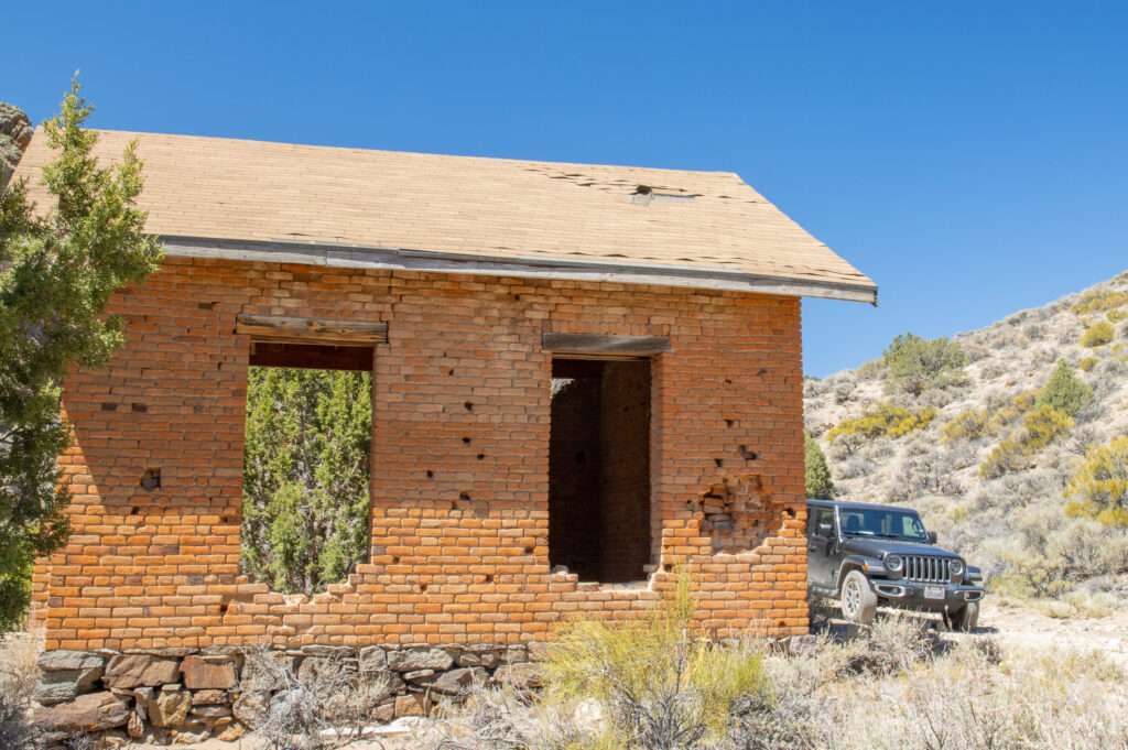
Tybo School

Keystone
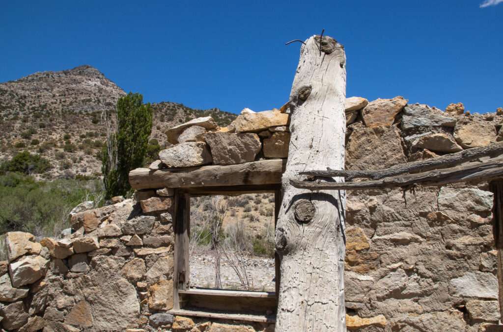
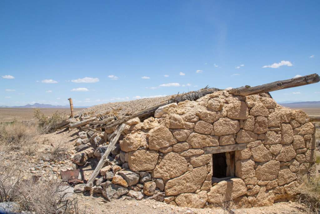
My friends only had so much time to explore. So we debated what to add to our itinerary, and I suggested Keystone, maybe a little self-serving. I visited the cool stone cabins last year, but the haze made my photos unimpressive.
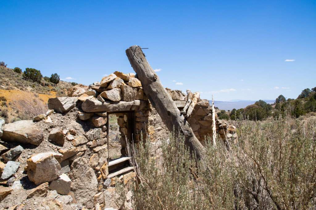
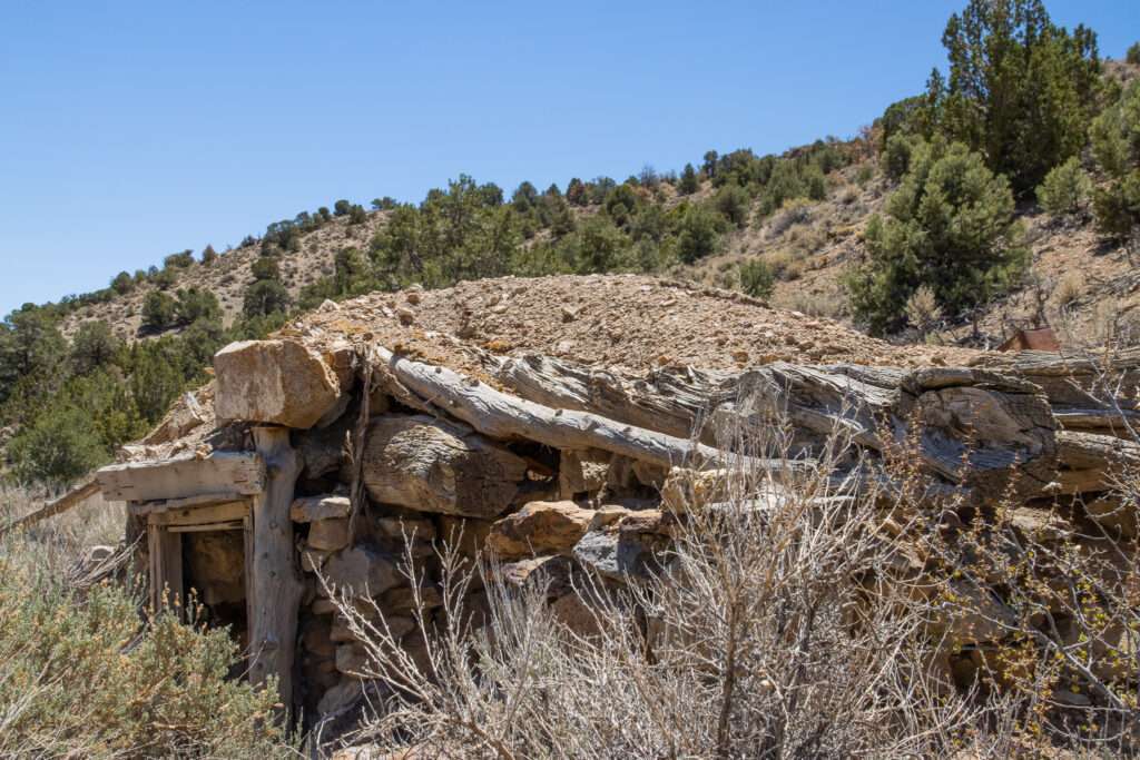
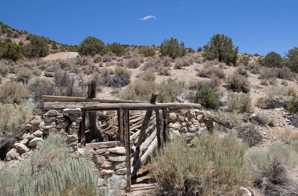

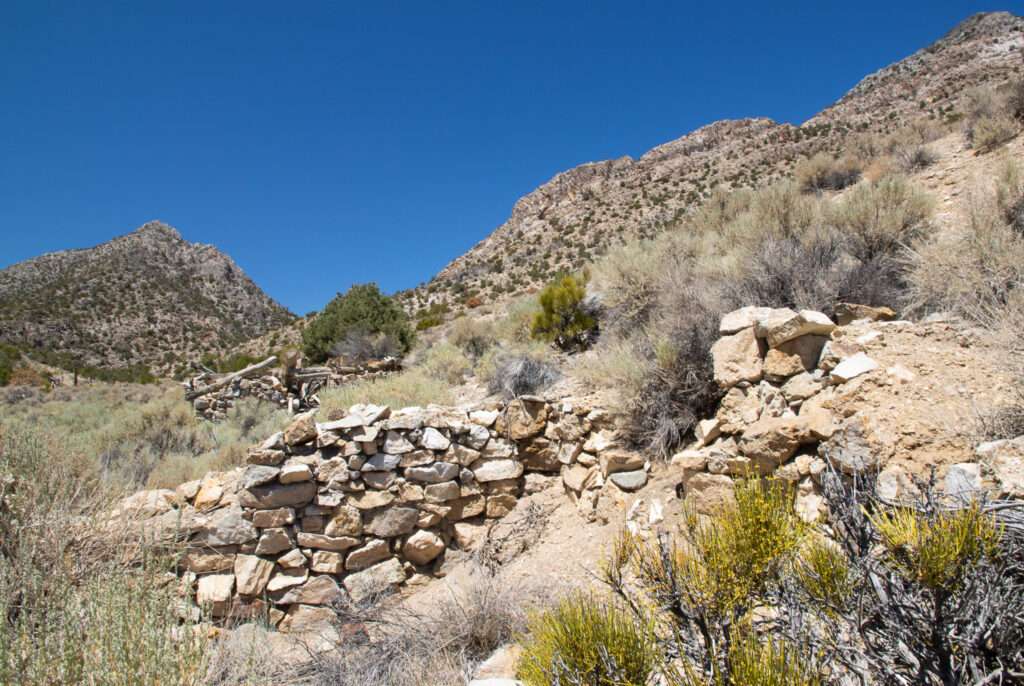
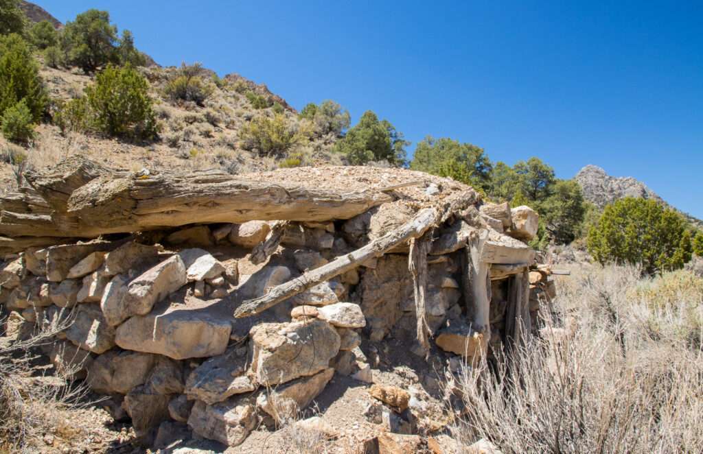
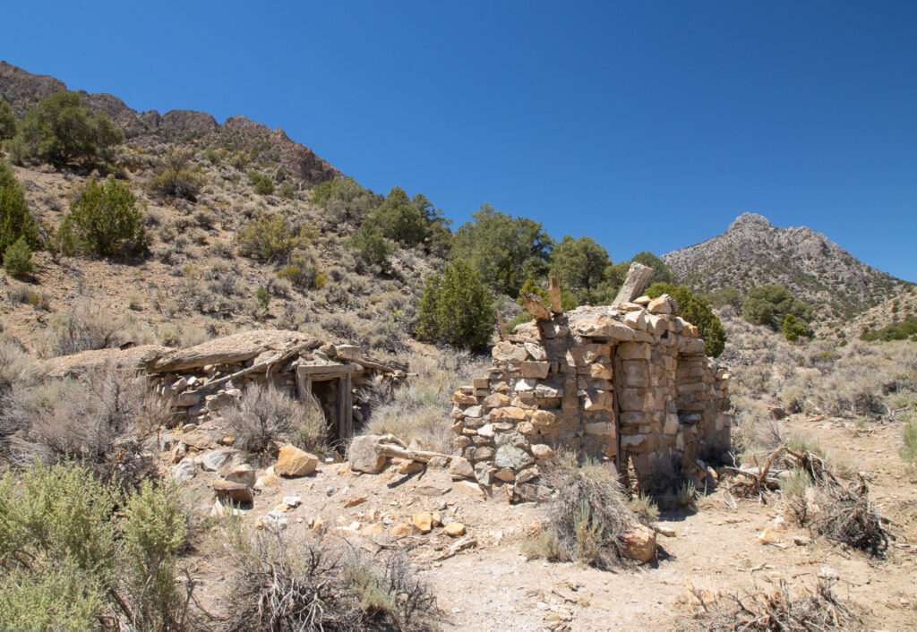
I had started researching and writing about Keystone last summer, but I wasn’t happy with my photos, so it sat on the backburner. Keystone was a company town created in 1868 by the Old Dominion Mining Company. The town declined soon after but was worked periodically through the mid-1900s.
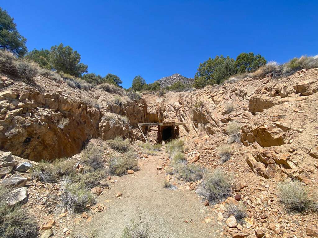
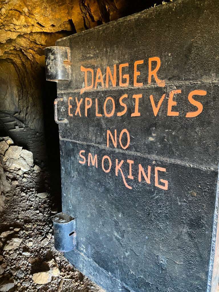
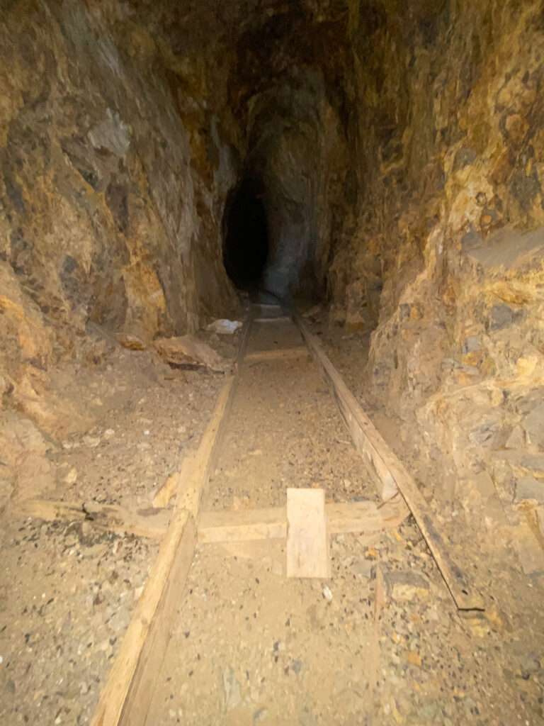
Keystone Mine
We quickly stopped at Keystone Mine because I love the explosives door.
Hot Creek Indian Camp
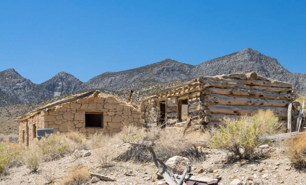
Outside of Hot Creek Ranch and ghost town is Hot Creek Indian Camp. The structures were built in the 1860s and later used by Shoshone, who worked on the ranches and in households. For more information and historical photographs, refer to Tybo, Nevada: Gem of the Sagebrush Frontier and Other Settlements in Hot Creek Valley by Robert McCracken and Jeanne Sharp Howerton. I was fortunate to meet Jeanne last summer; she is an amazing fountain of local history.

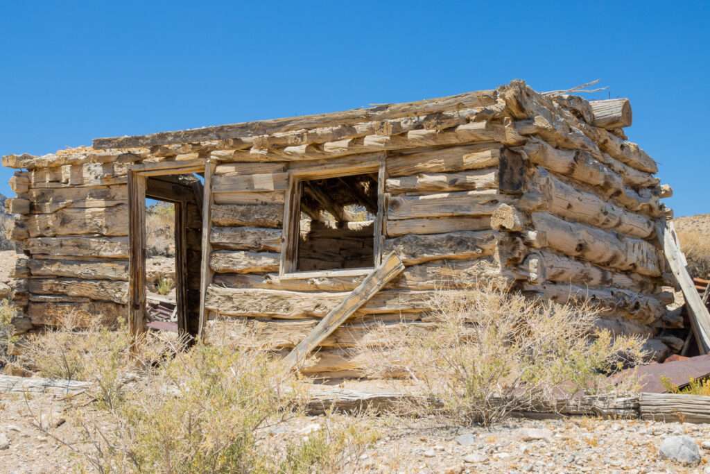

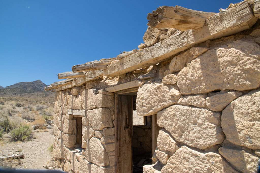
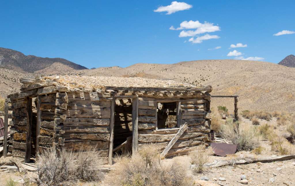
I had to re-create my favorite photo from last year.

Hot Creek Civil War Veteran’s Grave
Bo and my friends are all retired military, so we paid respects at a Civil War veteran’s grave. I have a note on my desk to ensure the grave is documented on the Find a Grave.


Project Faultless
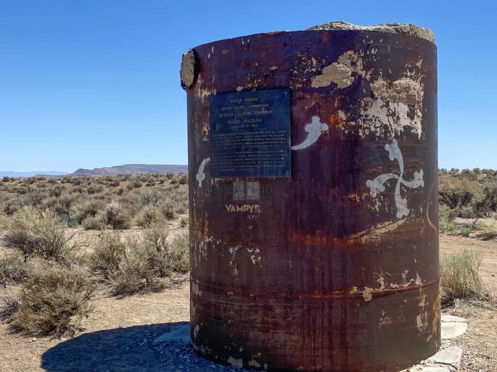
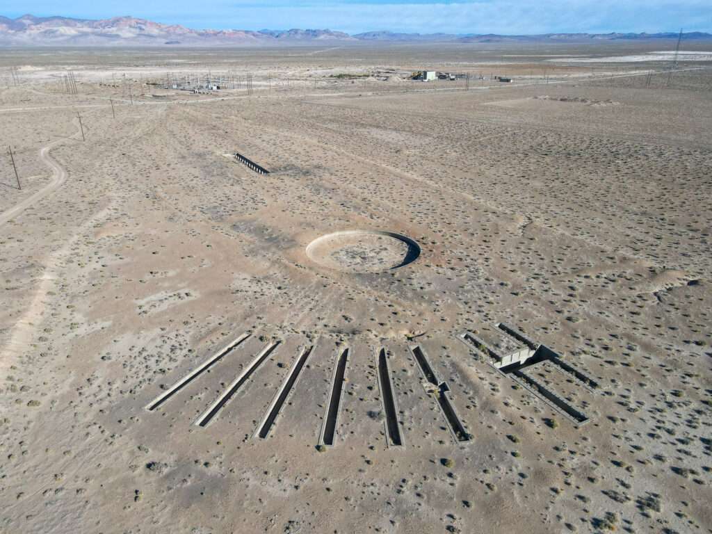
Our final stop was Project Faultless. On January 19, 1968, the United States Atomic Energy Commission detonated a less-than-one-megaton nuclear bomb 3,200 feet below the surface. Through one of my favorite sites, Forgotten Nevada, I found the site Travelers Guide to Nuclear Weapons. Is it weird that I bookmarked this site for travel plans?


As I have photographed the site before, I sent the drone to photograph the crater.
Day 3
My original plan was to stay three days in Tonopah, but I decided to head home early. I lost most of my day coming home along the way, stopping at all those little places I drive past, saying I would hit next time.
McLean
After a stop to drone the turntable at Millers, I studied Stan Paher’s books and saw the following notation was McLean. It was on the Nevada Ghost Towns & Mining Camps Atlas map but not in his big book. My favorite ghost town websites had no mention of the ghost town. Nevertheless, I decided to check it out and off my infamous list of ghost towns I needed to visit.
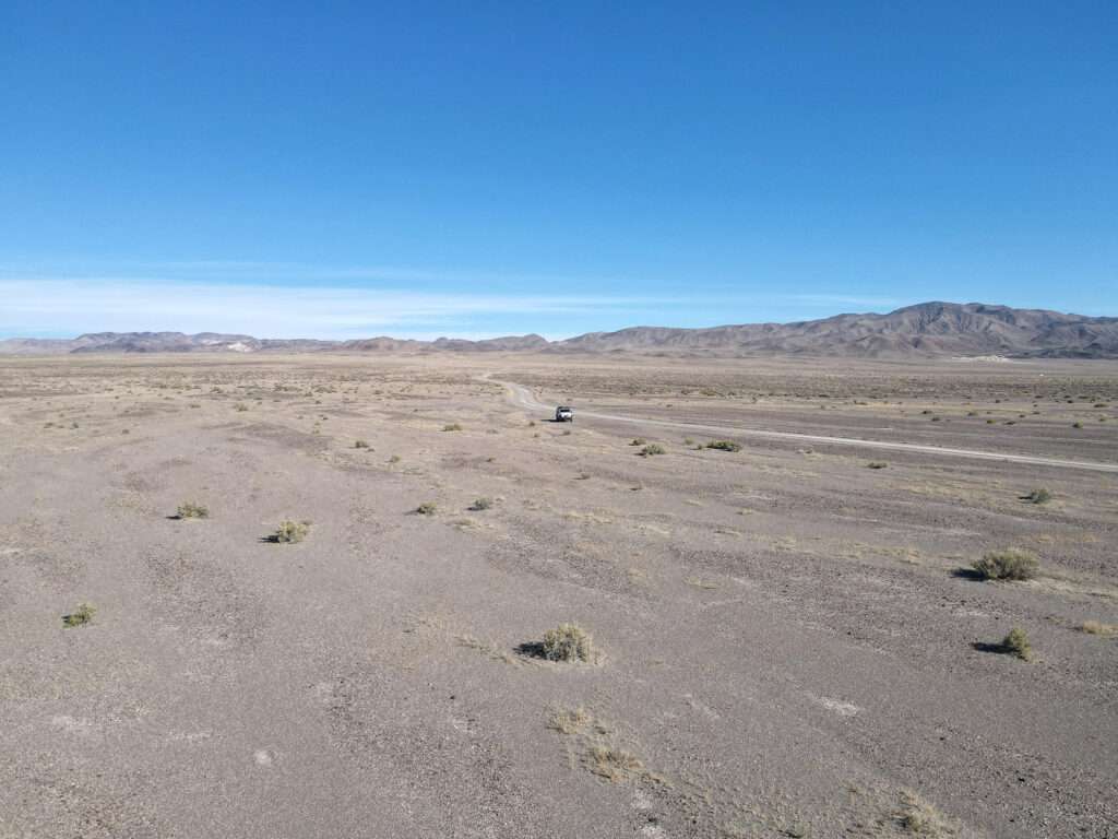
McLean was a station stop on the Tonopah and Goldfield (T&G) Railroad. The town was named after David McLean, an emigrant from Nova Scotia in the 1870s. McLean began ranching the area in 1891. The name was changed to Gilbert Junction in 1925 in honor of the three Gilbert brothers who prospected the area. Gilbert had a post office from 1925-1942.
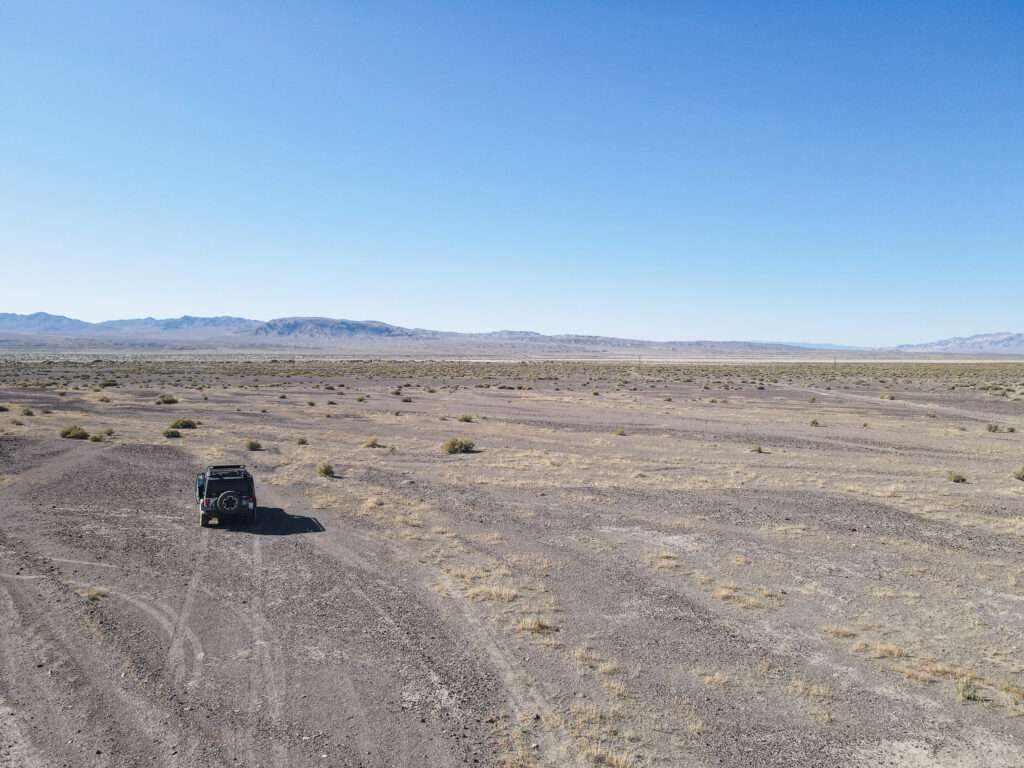
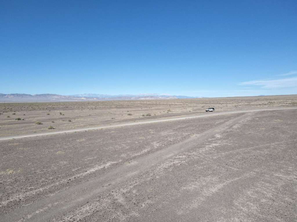
Finding nothing on the ground, I took to the air… and again found nothing.
The Truth comes out
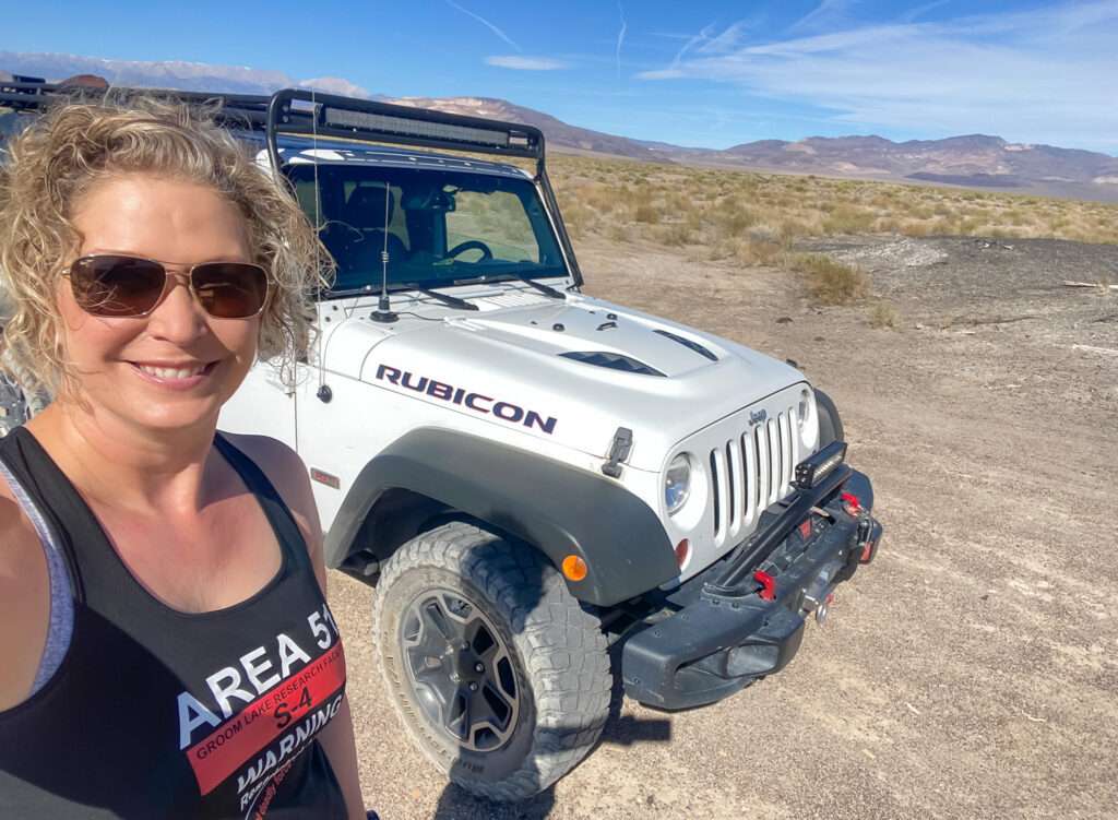
Friends laugh about my Jeep on trips. At home, I am super organized. Everything has a place. And everything is in its place unless my family strikes.
The Jeep on trips is another story. I start every journey with a clean Jeep and the best of intentions. I maintain it for a while. Then all you know what breaks loose. I jump in and out on research sites and have camera gear scattered around.
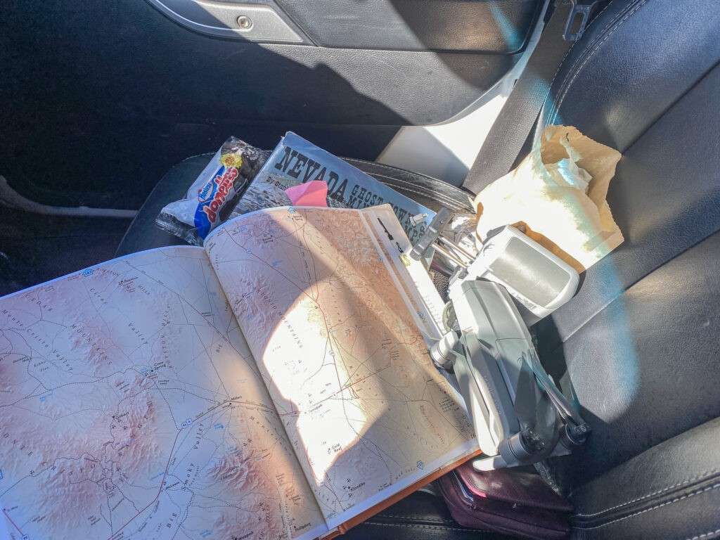
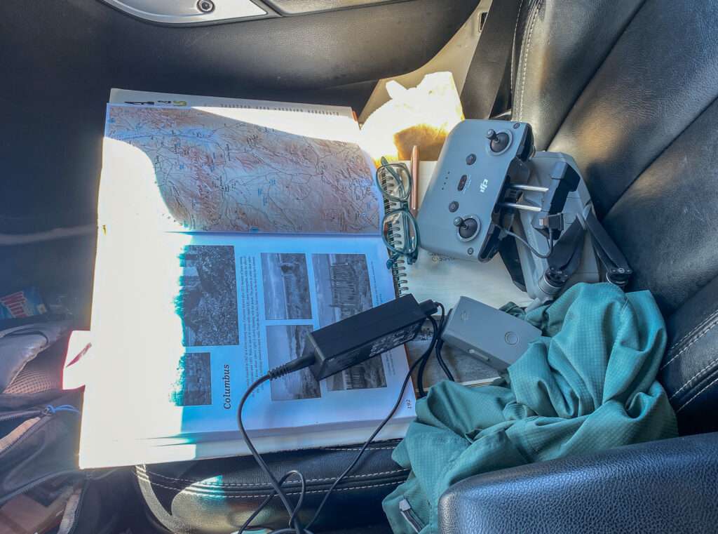
Pretty soon, my front seat will look like this. Books, Maps, a drone and camera, and sun shirt throw into the passenger seat. Breakfast I decided I didn’t want to eat plus backup road-trip breakfast, which made it home unharmed.
Coledale Junction
Coledale was a stage station on the route between Fish Lake and Bishop headed to Hawthorne and Belmont.

Coledale was founded by Nevada’s first female physician, Dr. Frances Williams, in 1903. The following year the town became a station stop on the T&G Railroad. Dr. Willaims thought every person should have the right to own property. But unfortunately, she was a woman before her time, and the town only grew to a few buildings.

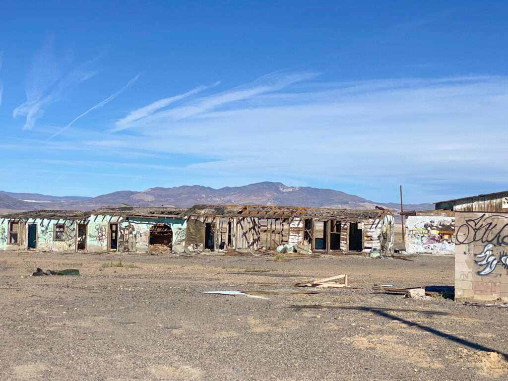
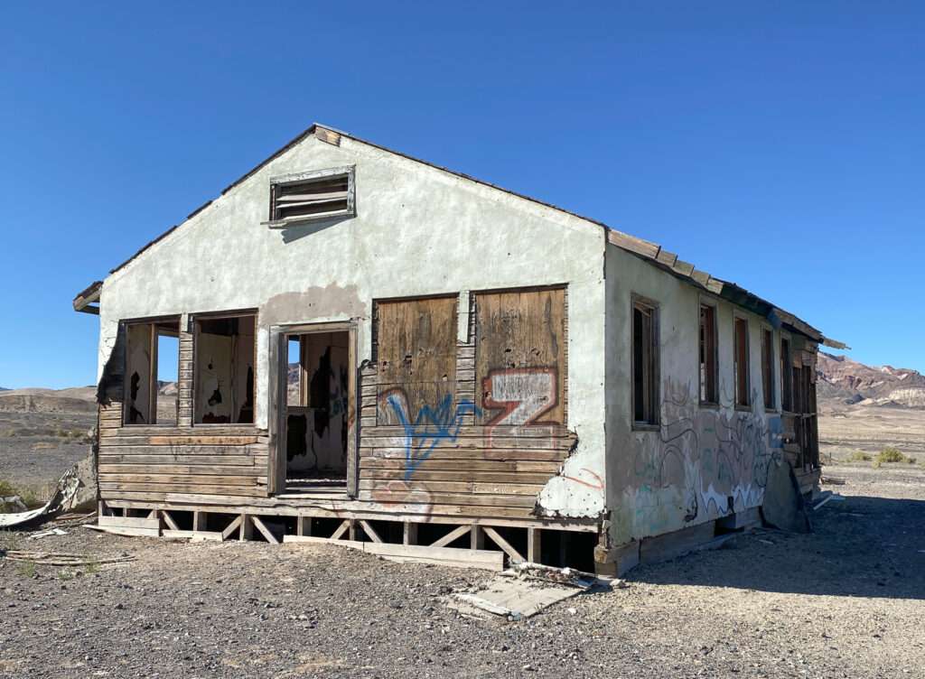
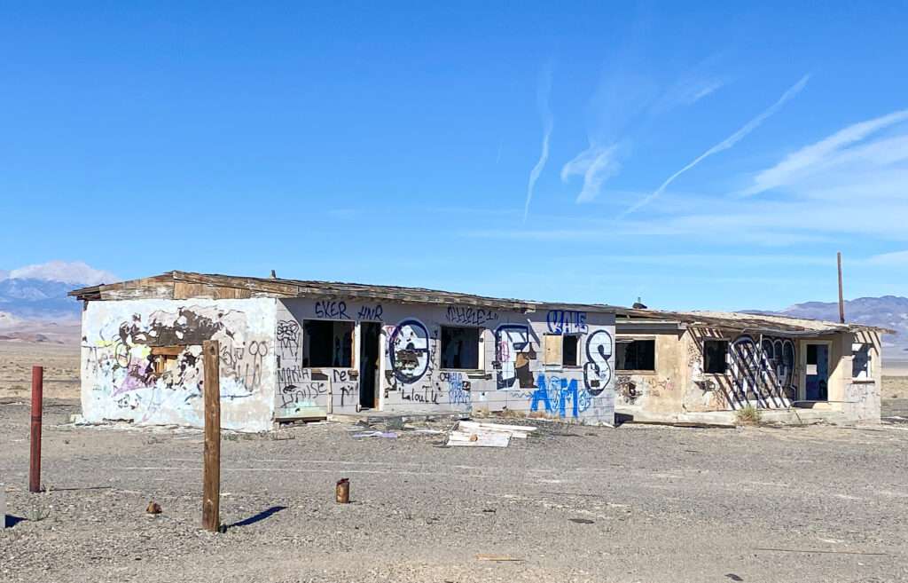
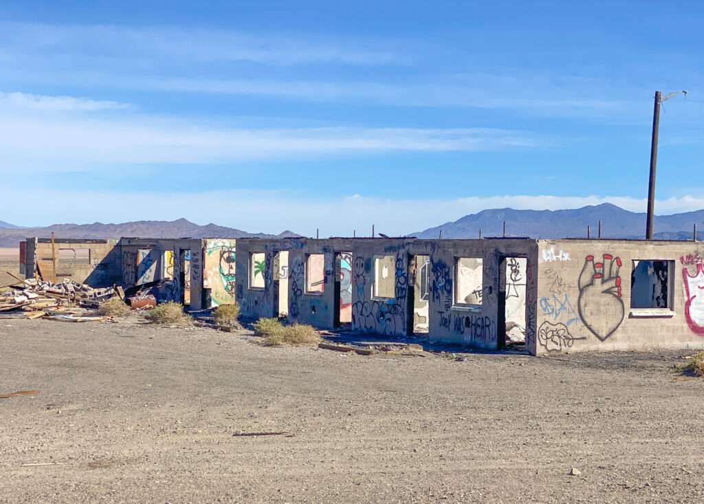
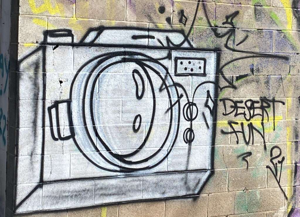
Coledale had a service station until 1959. The town is now gone, but Coledale Junction, another service station and motel, is south of the ghost town.
Calmville
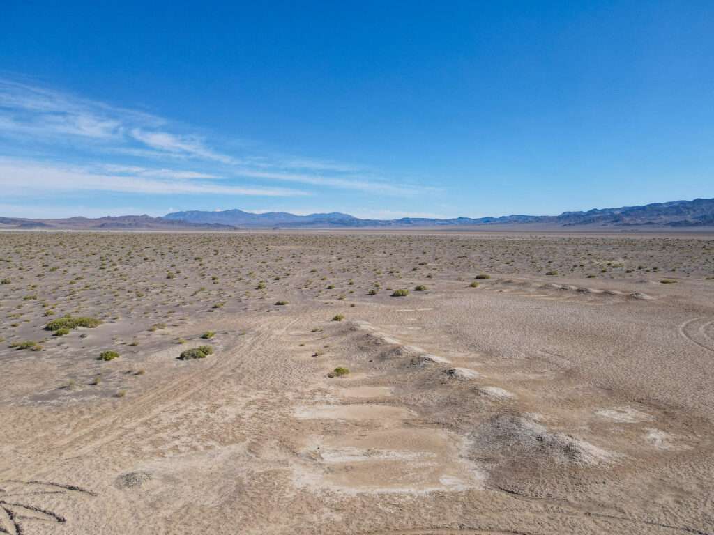
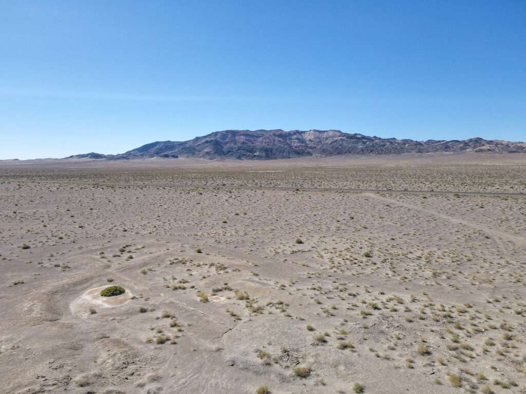
Two years ago, on my Girl Ghost Town Trip, I found the town of Calmville. As a psychotherapist, I loved the name and decided I needed to visit. Unfortunately, it didn’t work that trip but stayed on my radar. Calmville was exactly what I expected, a beautiful and peaceful oasis. You can enjoy a warm spa while eating healthy food, lush gardens, and meditating all day with the chants of Buddhist monks in the background.
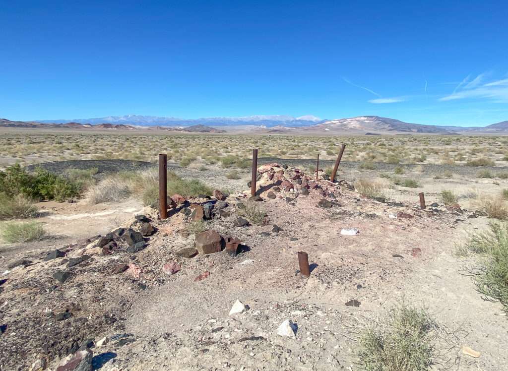
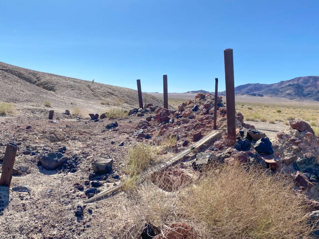
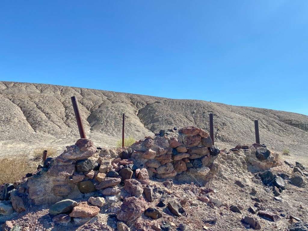
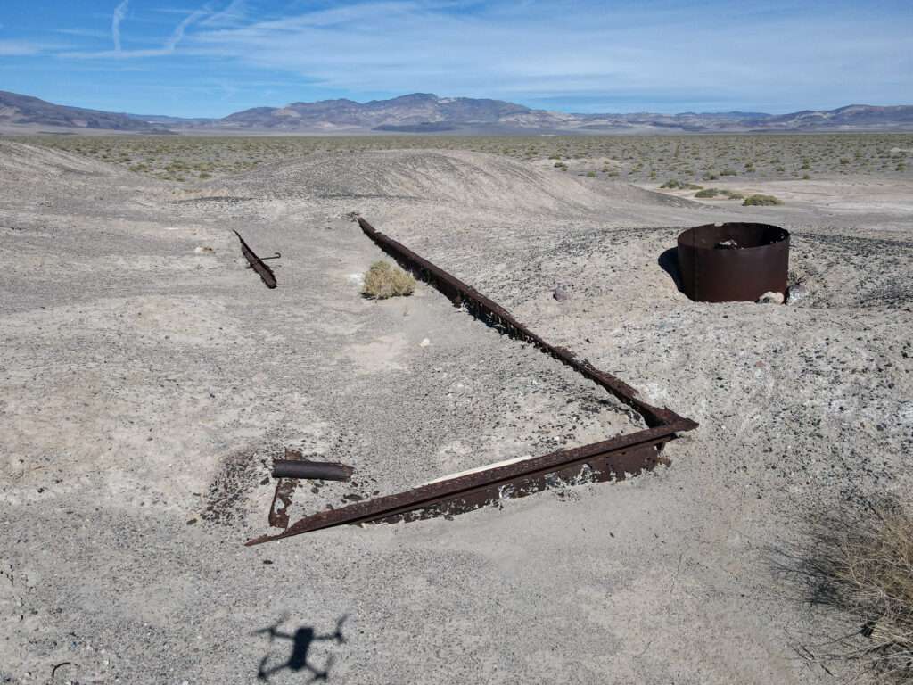
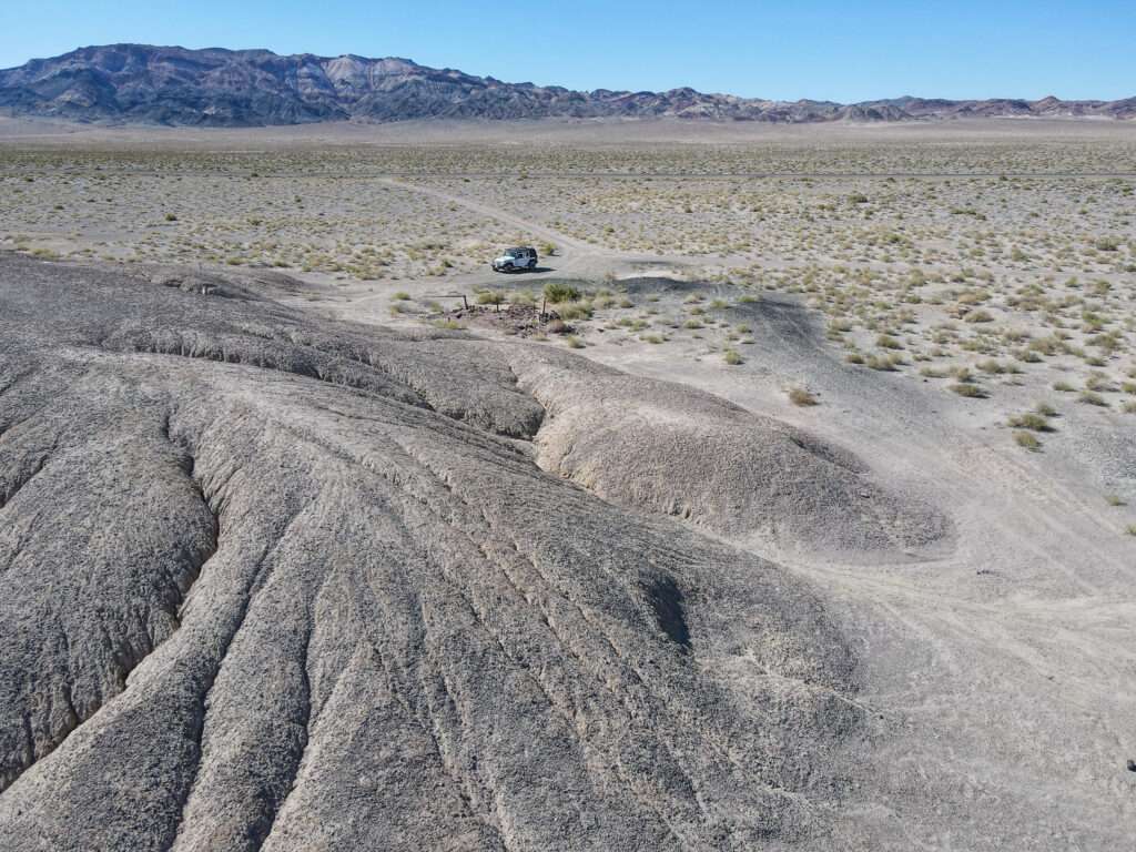
Just kidding, but wouldn’t it have been nice? Calmville was a borax mining town. It had a post office from 1893 to 1895, when service was transferred to my next stop, Colombus. At first glance, I find very little information online or in books about the ghost town of Calmville.

Columbus
I debated if I should head to Columbus. It was a little farther off 95, and I was alone, so I pulled off 95 and considered my options. The ghost town was only five miles away, the road was in excellent condition, and it was close enough I could hike out if needed. People might laugh that I wear tactical pants, but they hold the three G’s.
Glucose, Garmin, and the other G word
I have been a Type 1 diabetic for 39 years; how on earth is it possible I’m that old? I found glucose gel is the best to carry for the relatively few lows I have. It is compact and light, and I hate the taste and texture and will only use it in an emergency.

I love my Garmin; it’s worth the investment and monthly fee. Think Star Trek tricorder. It is a satellite communications drive: it tracks my travels and drops GPS pins every ten minutes; family can see where I am, and I can text or email as long as I have a slice of sky. Most importantly, it has an SOS feature that connects with an outdoor emergency response network that coordinates with local emergency services.

The other “G” word. Photos are from my last time qualifying for my permit, not my best, but not bad.


Colombus Trip #1
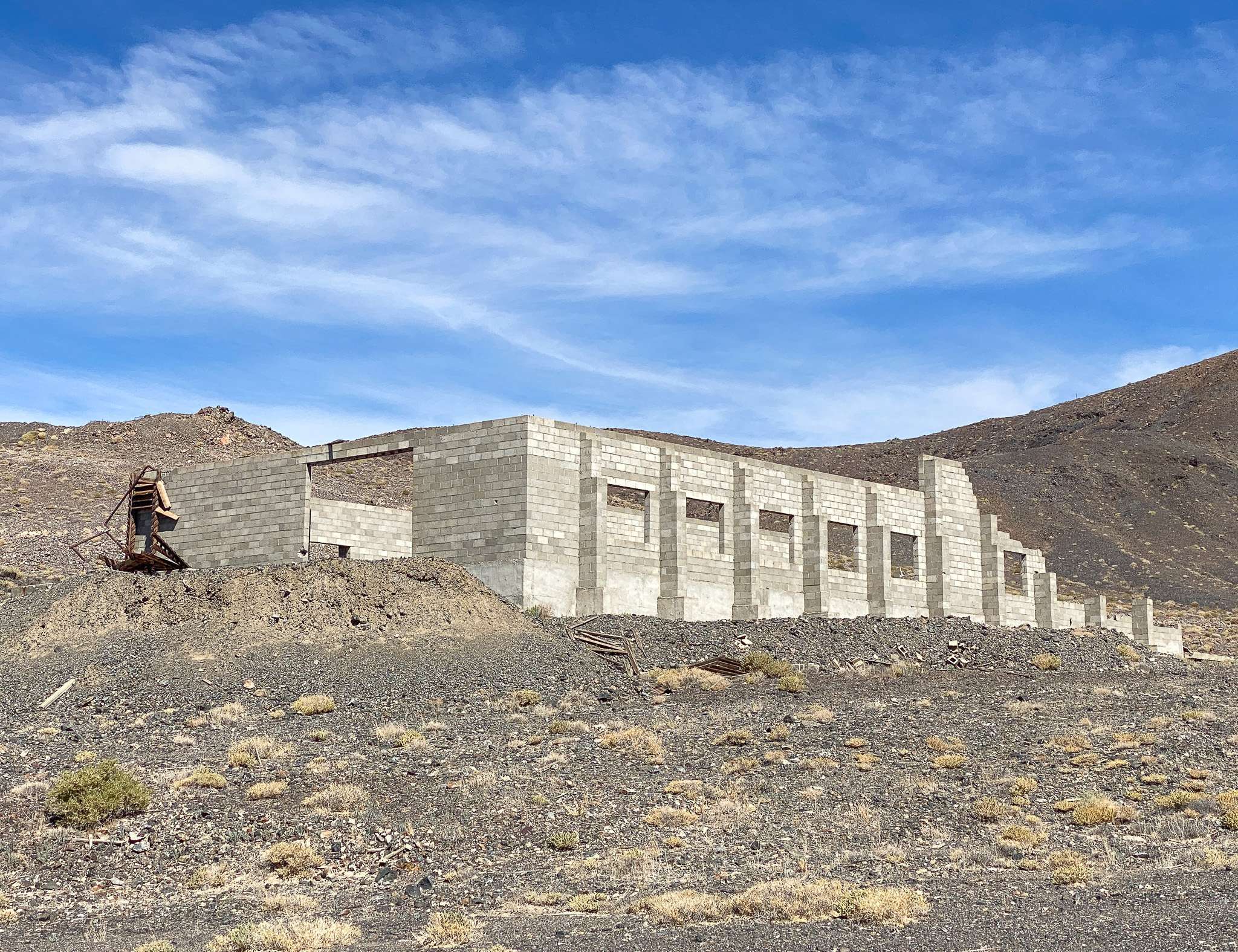
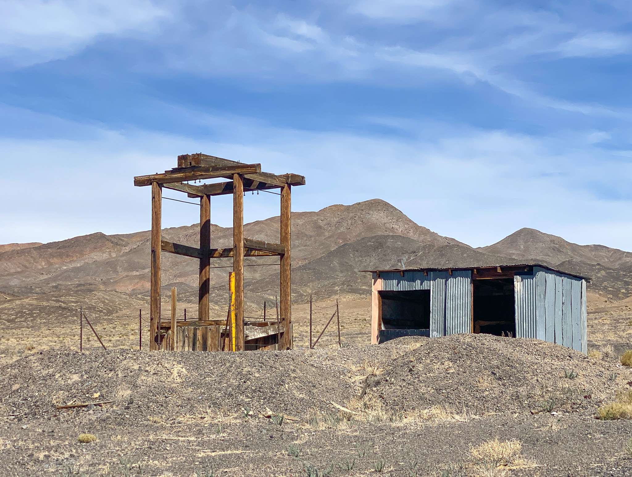
Colombus started in 1865 following the discovery of gold and silver deposits. Borax was founded in 1871, which expanded Colombus. However, Colombus declined in 1875 when borax mining shifted to Fish Lake, and the post office closed in 1899.
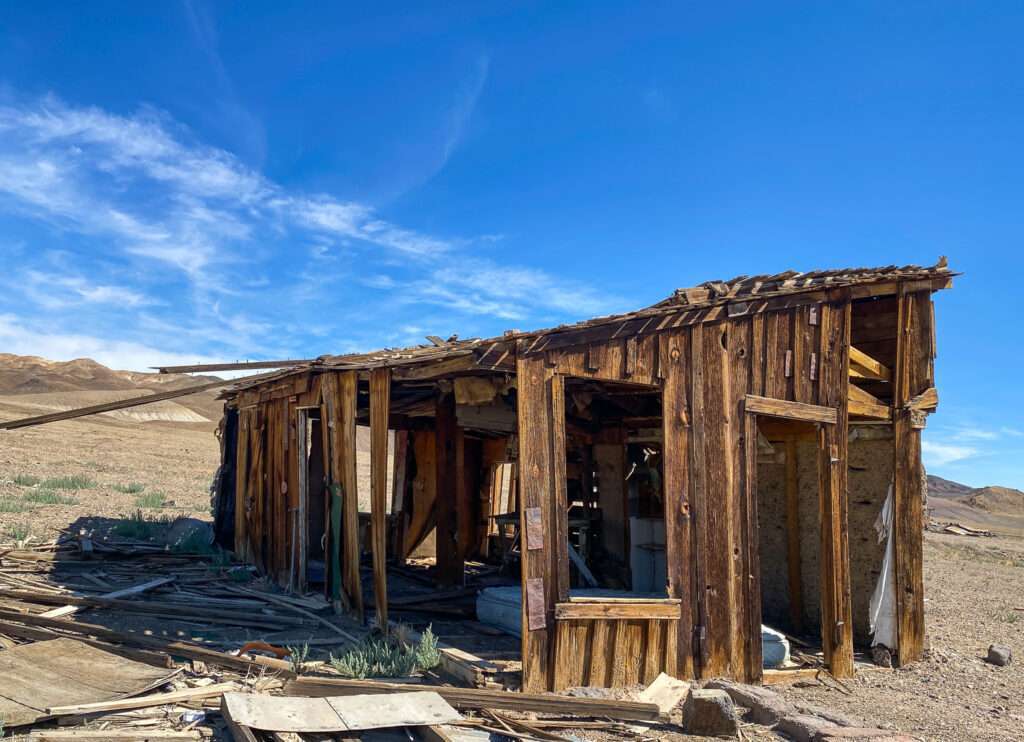
Colombus had a horse racing track. I spent a fair bit of time driving around and exploring with the drone, but I never found the track.
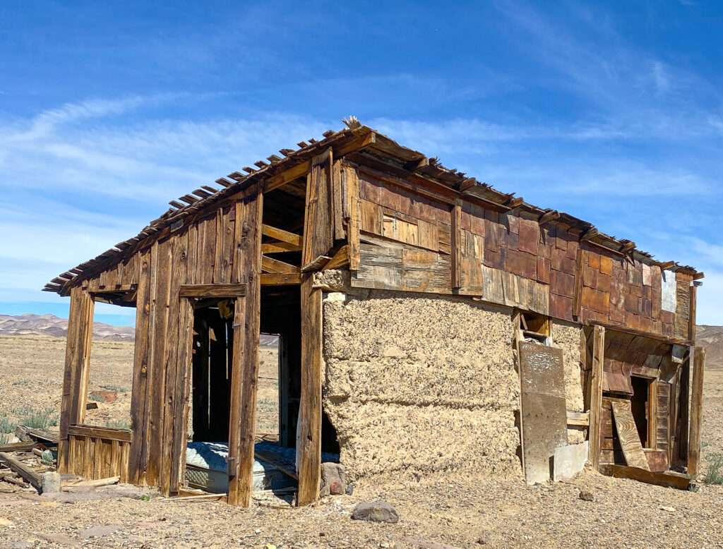
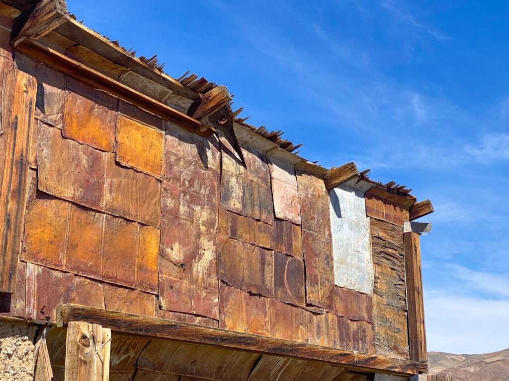

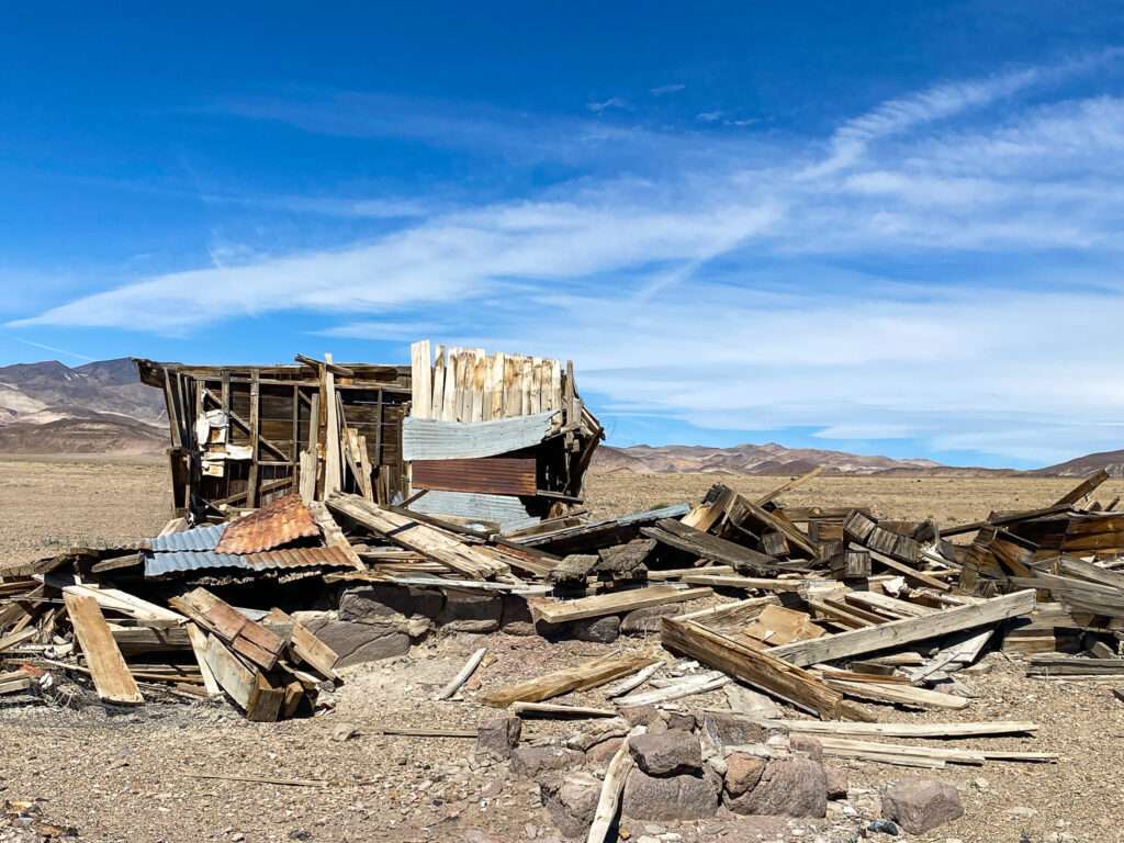
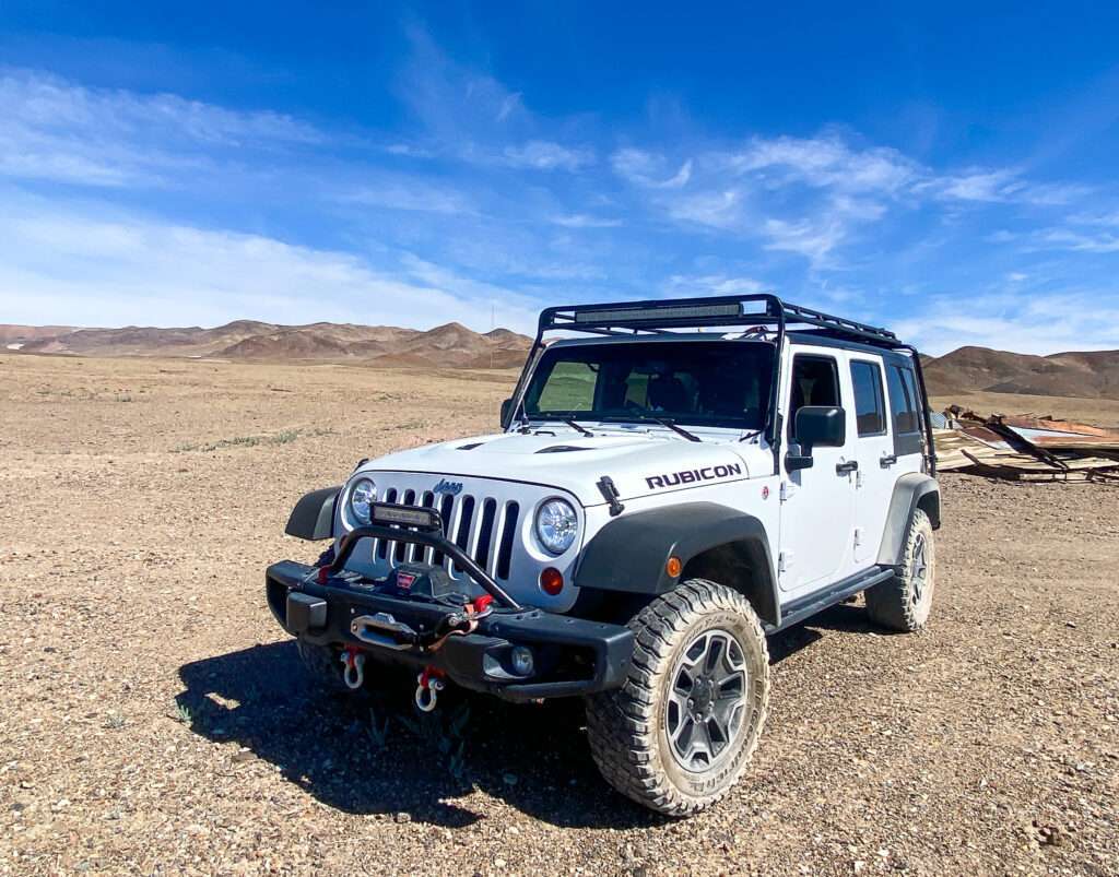
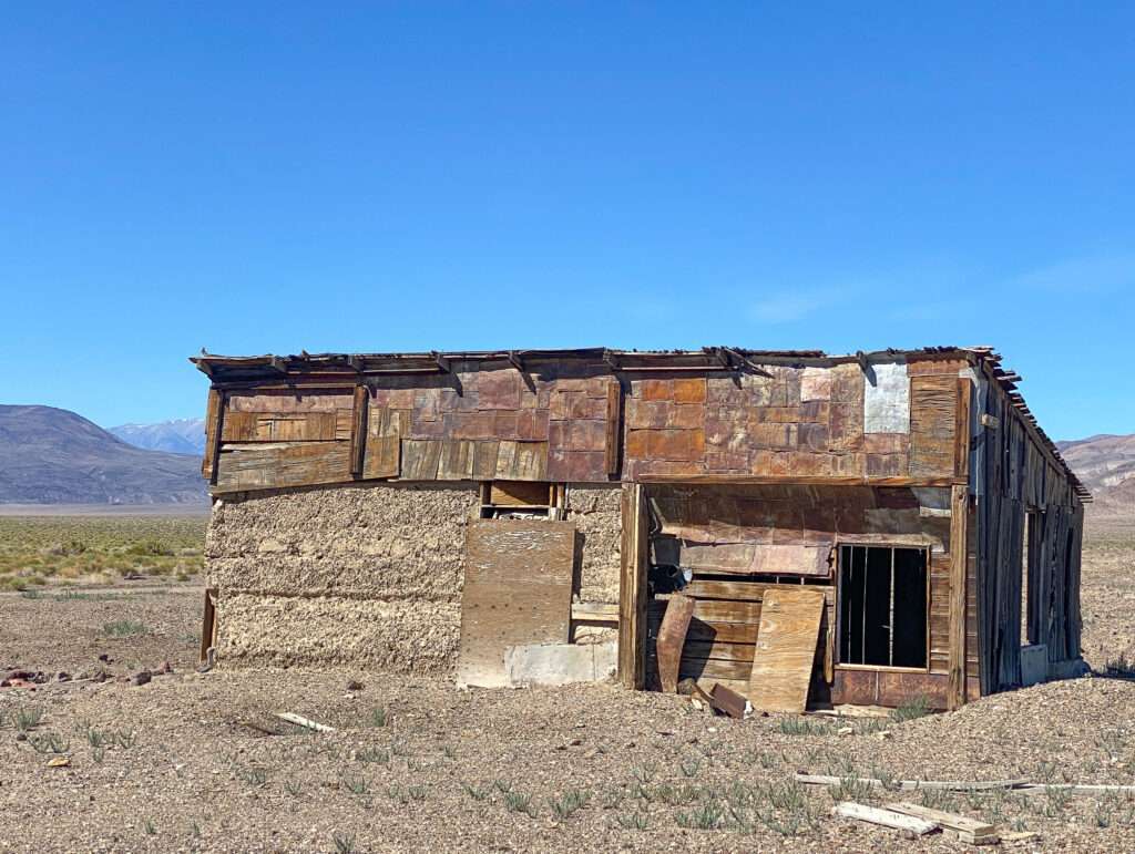
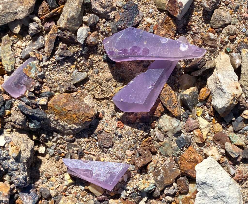
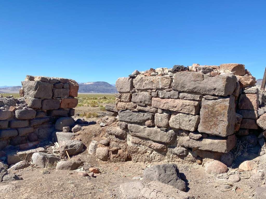
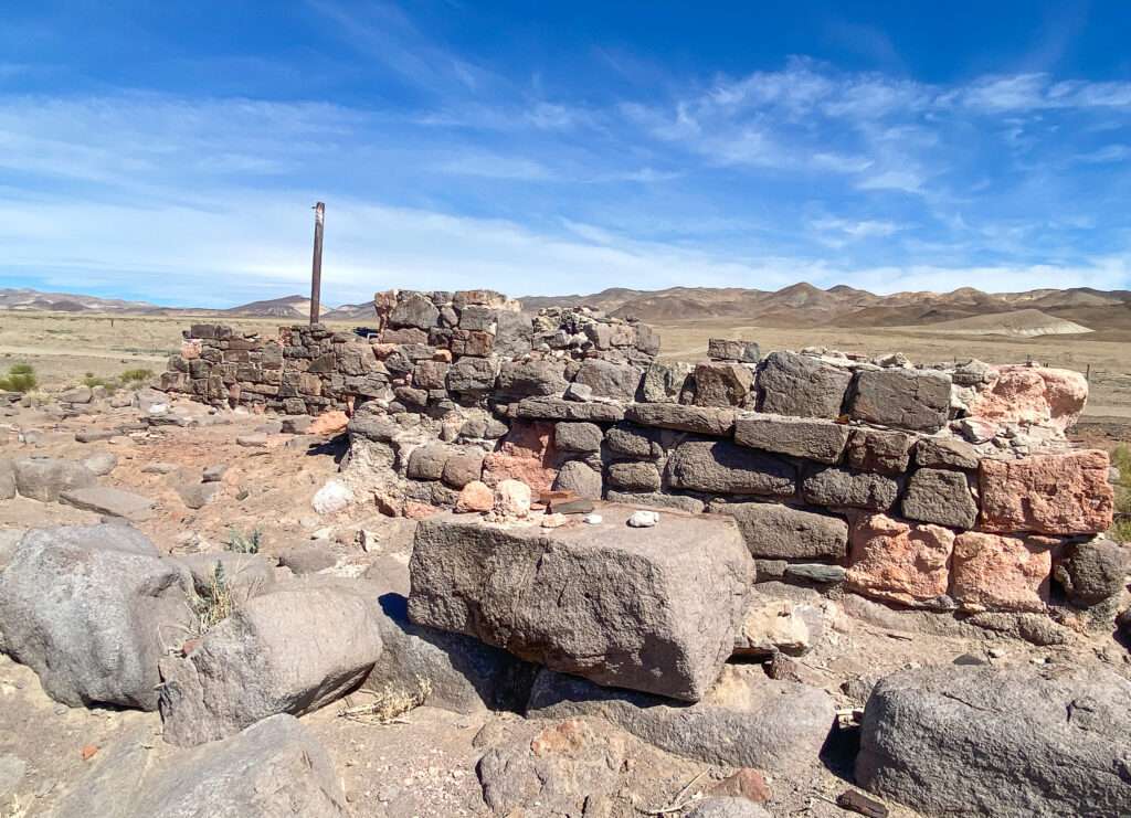
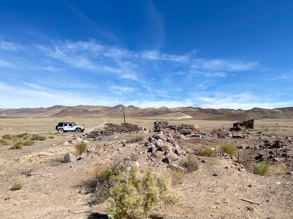
Remains from later mining operations dot the road to Colombus.
Colombus Trip #2
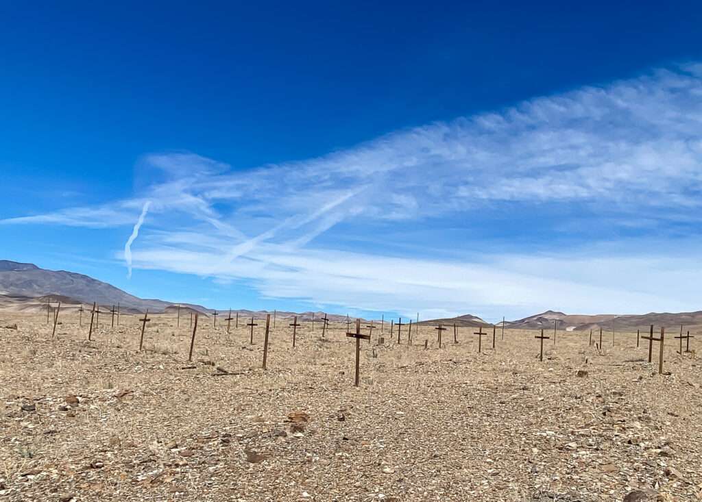
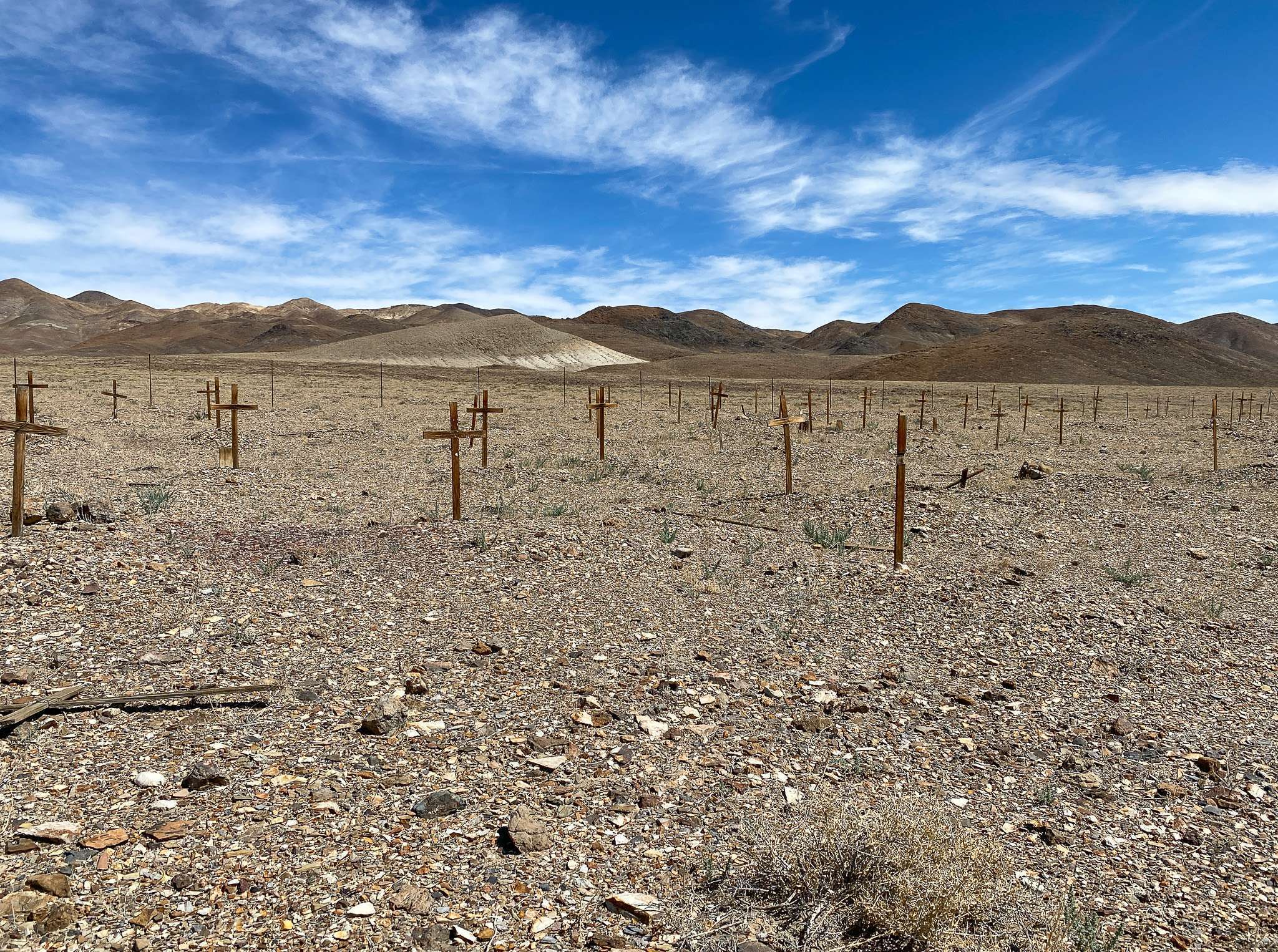
After returning to the highway, I pulled out the atlas to determine my next stop. The first thing I noticed was the marker for the Columbus cemetery. Darn it, pictures of the cemetery made me want to visit Colombus, but I totally forgot. I referenced a few websites and was happy to see I wasn’t the only ghost towner who missed the cemetery. It wasn’t far out of town but blended into the hillside. I debated for about 10 seconds before turning Honey Bager around.
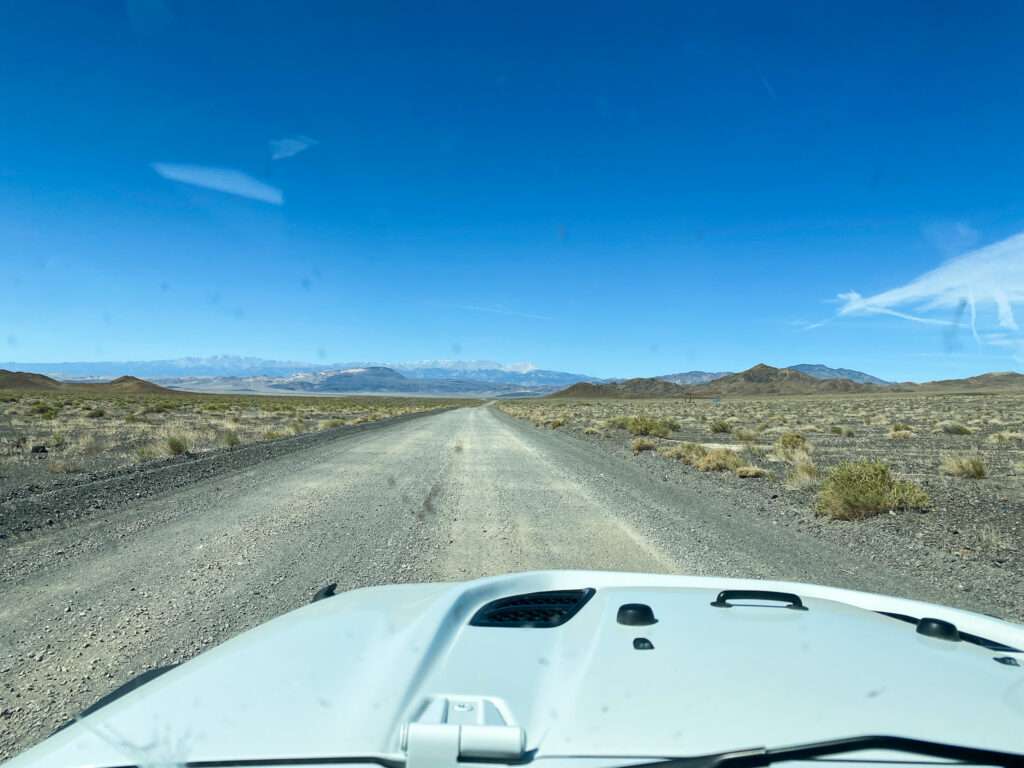
So, back I go. See it? Even a Prius could navigate the road, not that I would drive a Prius.


Rhodes
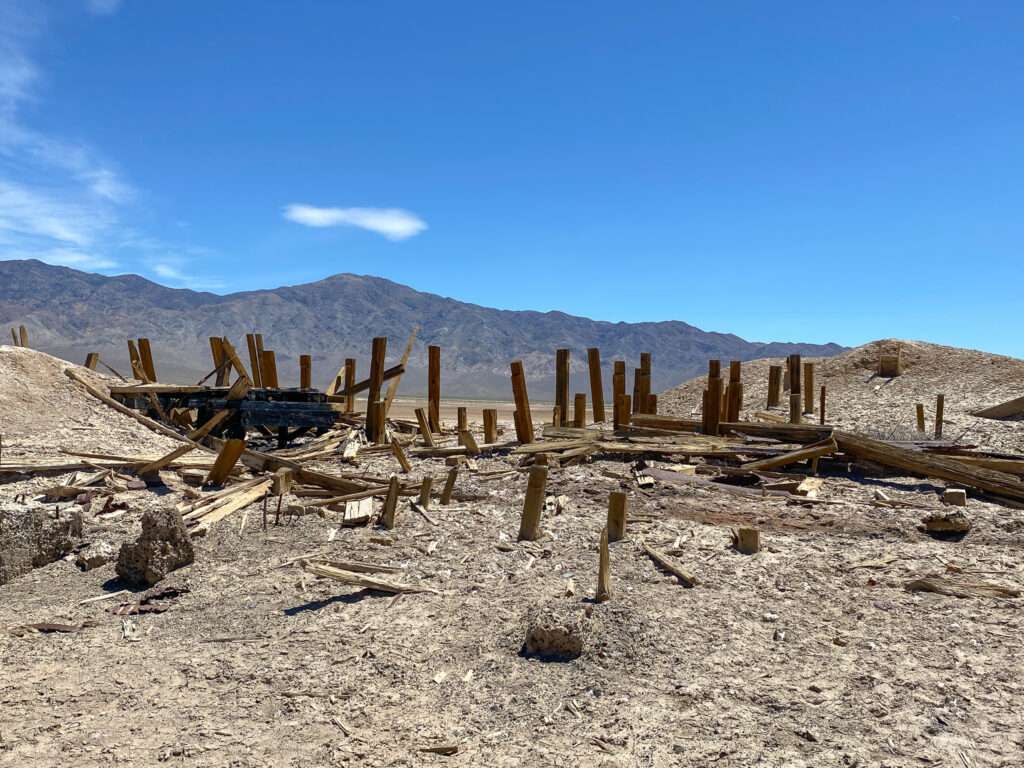
Rhodes was a station stop on the Carson & Colorado Railroad.


In 1862, salt deposits were found, and mines were shipped to the Comstock Lode via camel. This was less expensive than importing salt from San Fransisco. Salt was found in Sand Springs, much closer to Virginia City the following year. Rhodes began shipping to mills in Belmont and Colombus.
Rhodes was a stop on the Colombus to Wadsworth freight line between 1876 and 1882. In 1882 the Carson & Colorado RR began to use Rhodes as a station stop.

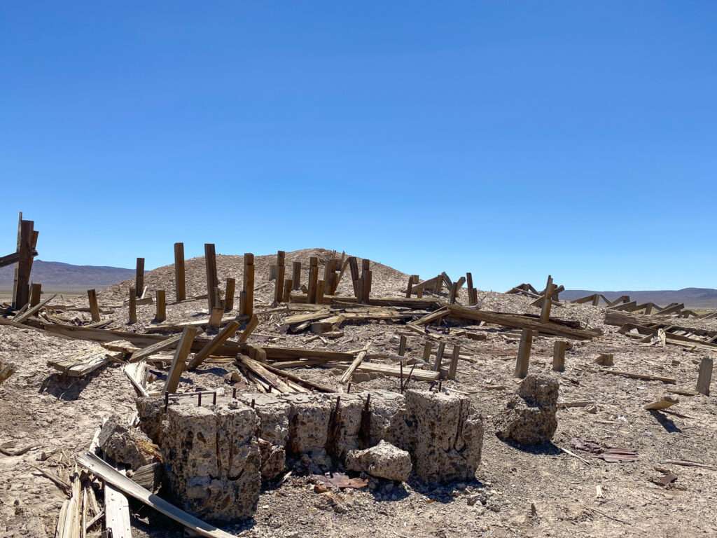
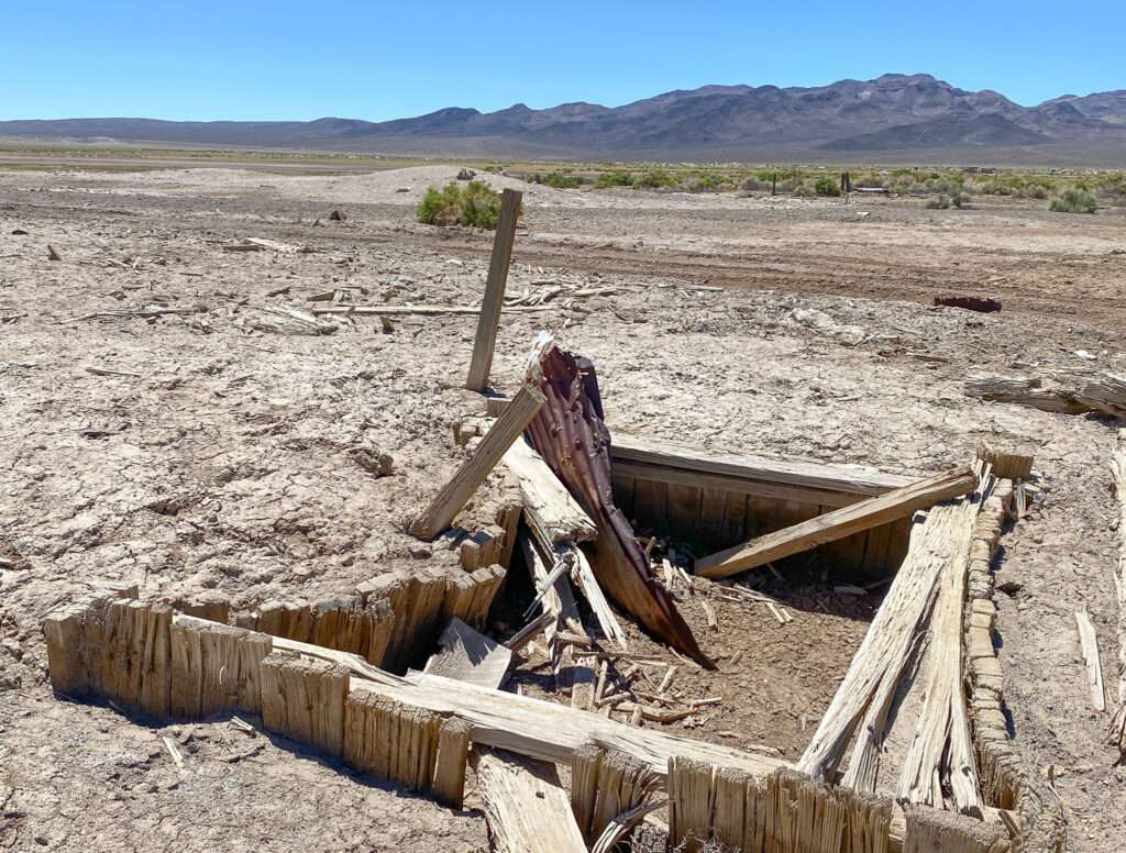
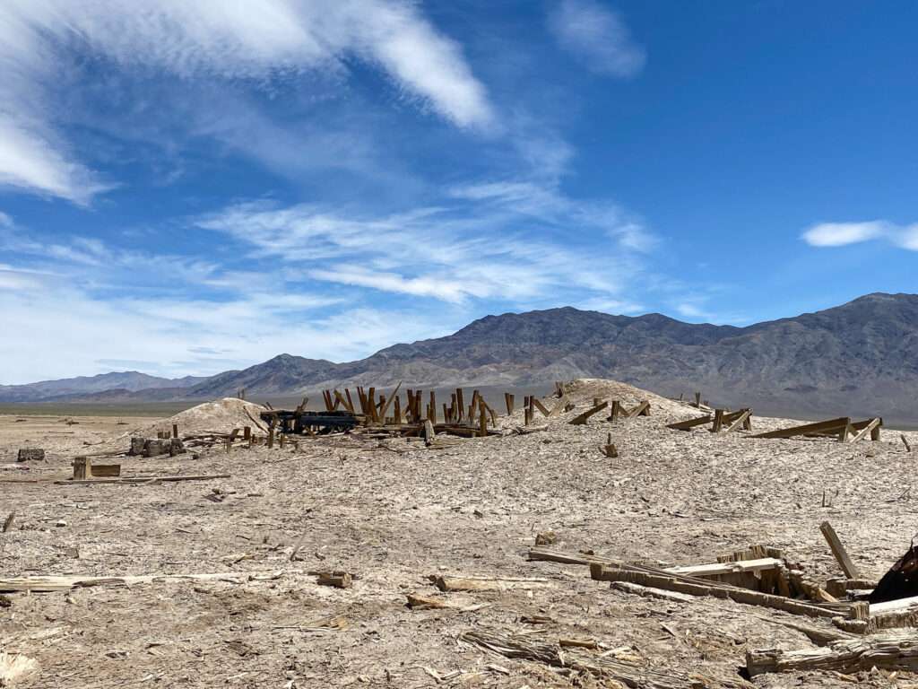
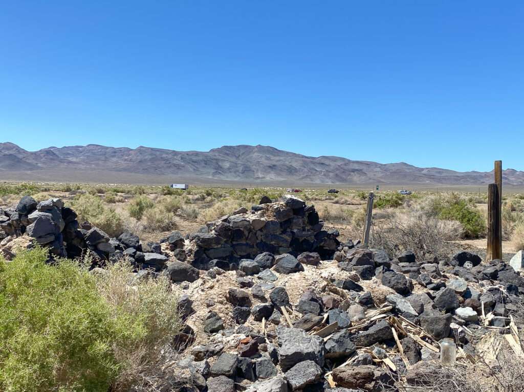
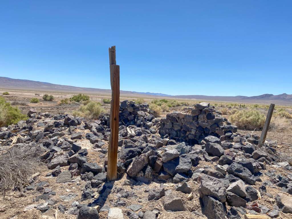
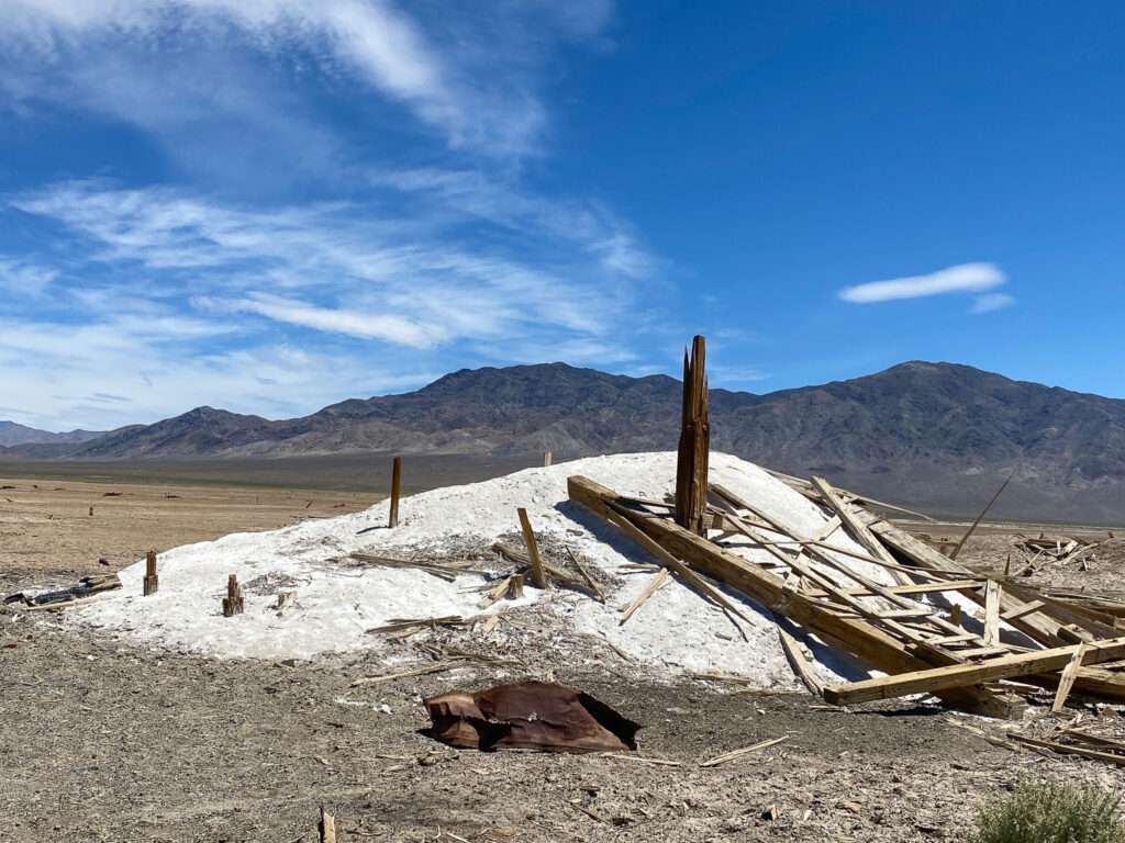
The Rhodes Alkali and Chemical Corporation began mining borax and salt in 1930. They constructed several plants which operated until 1933.

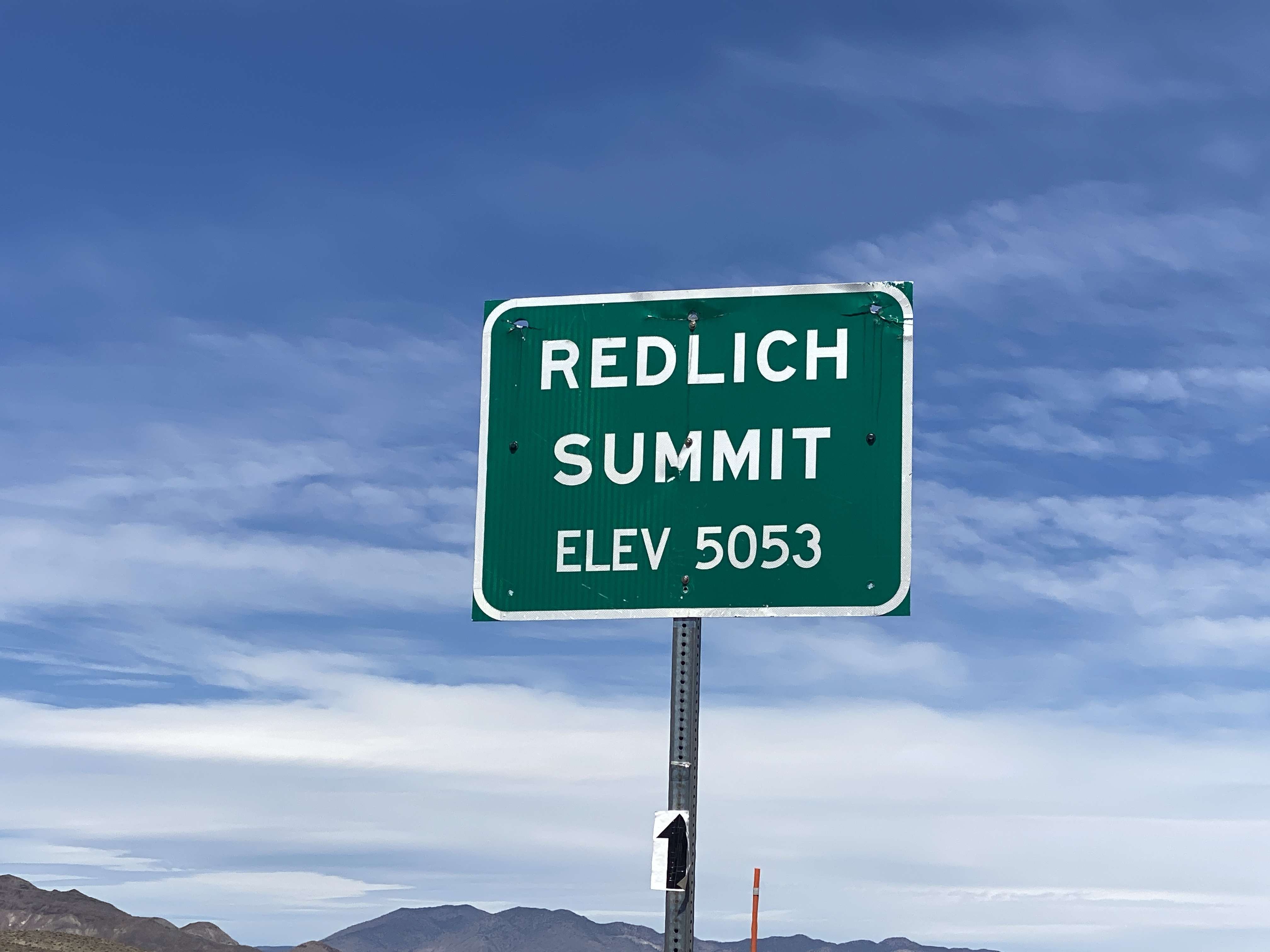
Redlich
I planned to stop in Redlich, but Honey Badger was having issues and climbing the grade at snail sloth speed. I knew from Nevada Expeditions the only things left were trash, a dugout foundation, and rocks, so I decided not to stop.
Mina
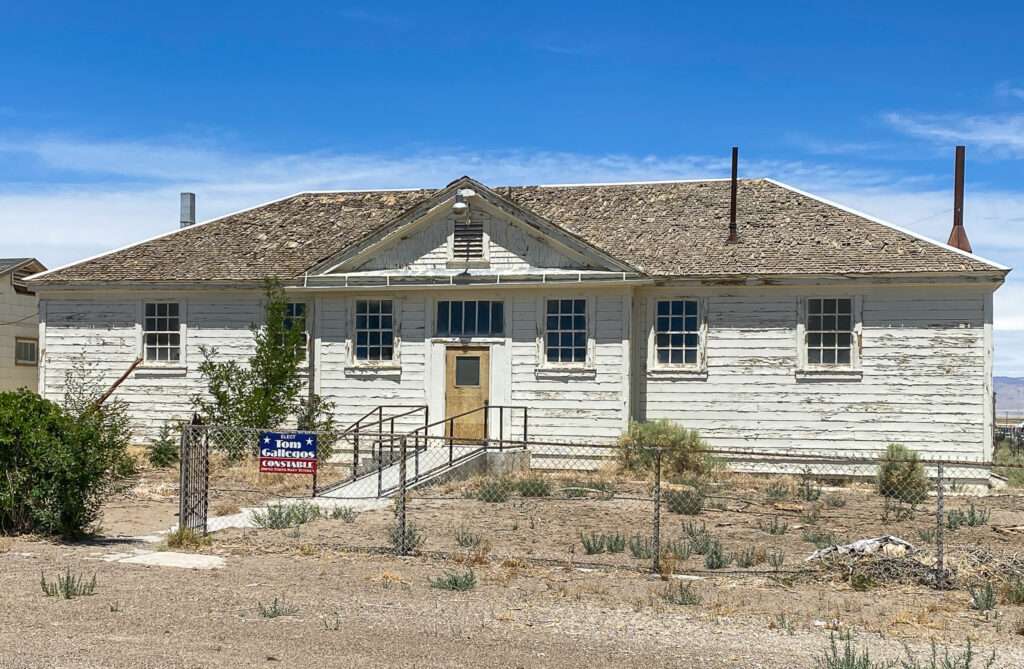
I was sad to learn Socorro’s Burger Hut in Mina sold. To qualify, I was happy the owners could sell their restaurant but sad as they had some of the best burgers in Nevada.


New owners took over the location, and now it is La Casita. They still have burgers, but I tried the street tacos. The meat was succulent, and they hit the spot.
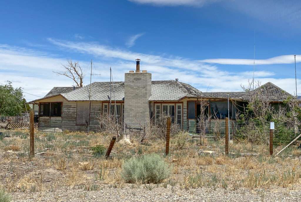
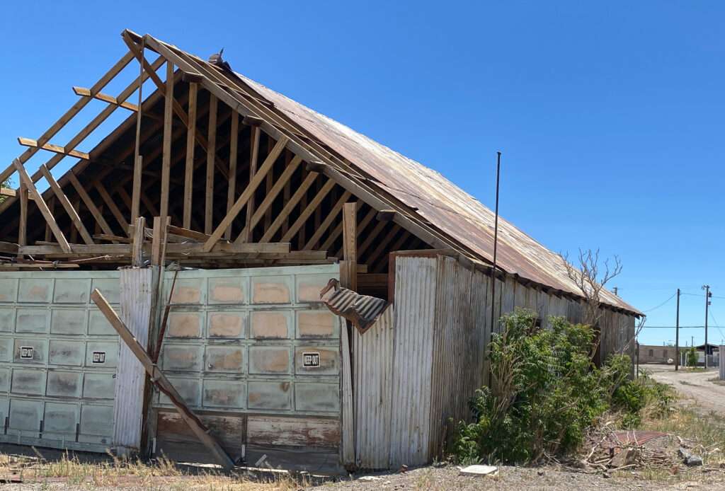
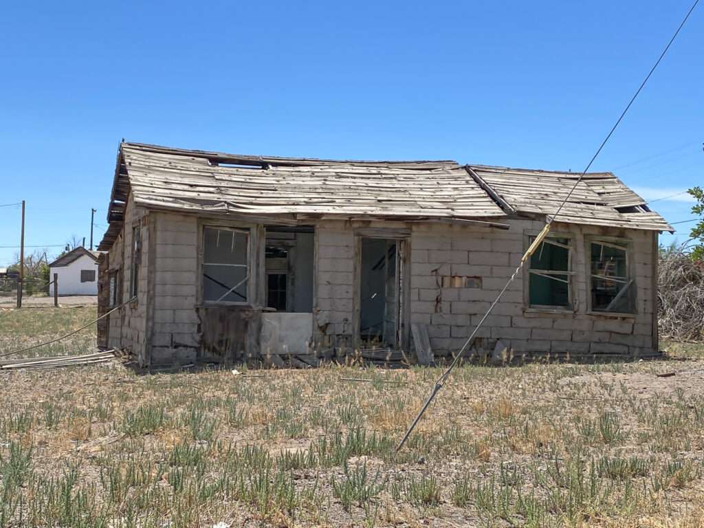
Mina started as a stop on the Carson & Colorado Railroad in 1905. The town thrived until the 1920s, when the decline began. In 1989 the railroad discontinued service to Mina. Mina isn’t a true ghost town but has diminished significantly.
Luning
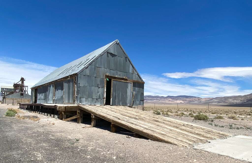
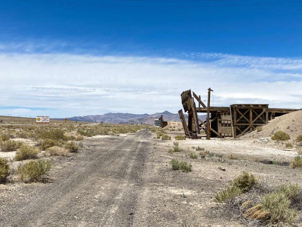
Luning began as Deep Wells and a stage stop on the Colombus to Wadsworth freight line. With the arrival of the Carson and Colorado Railroad, the name changed to Luning. The town became a shipping hub for mining in the Santa Fe district. Ore from Gabbs was shipped to Luning through the 1950s. As with Mina, the town declined with the end of the railroad in 1989.
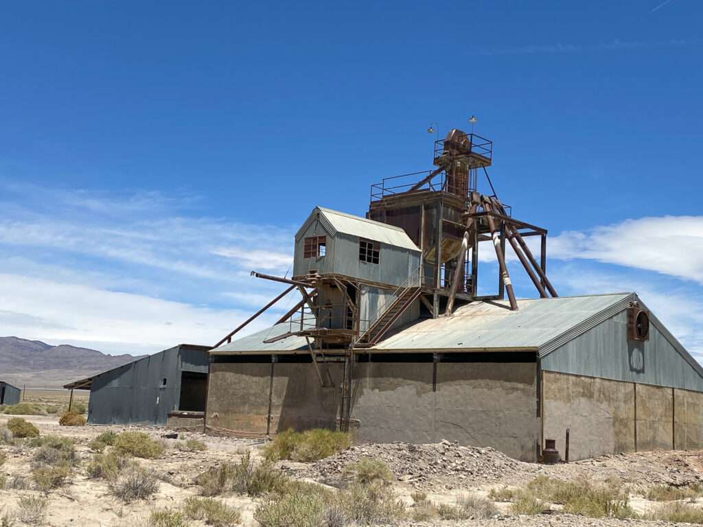
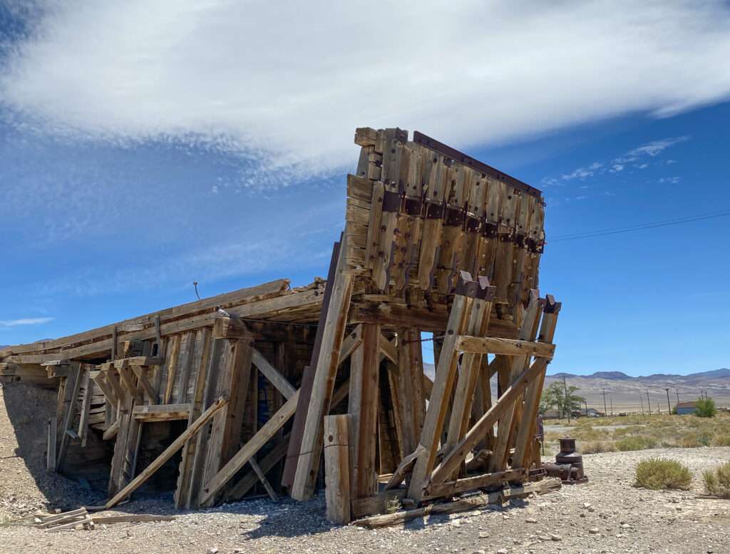
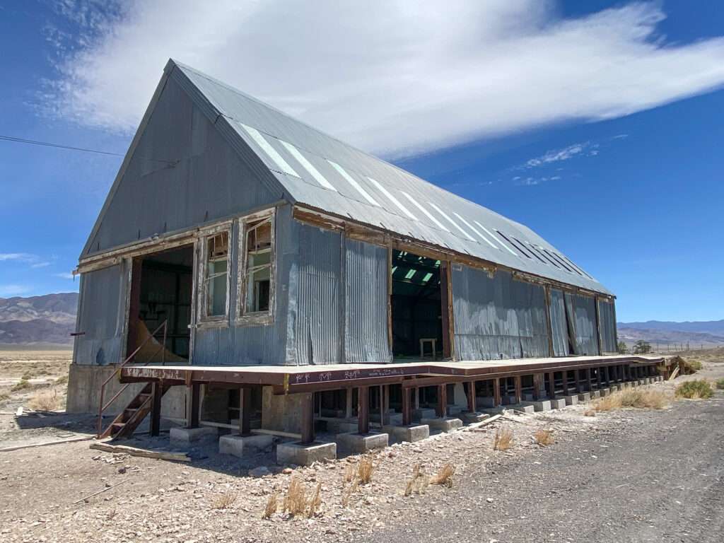
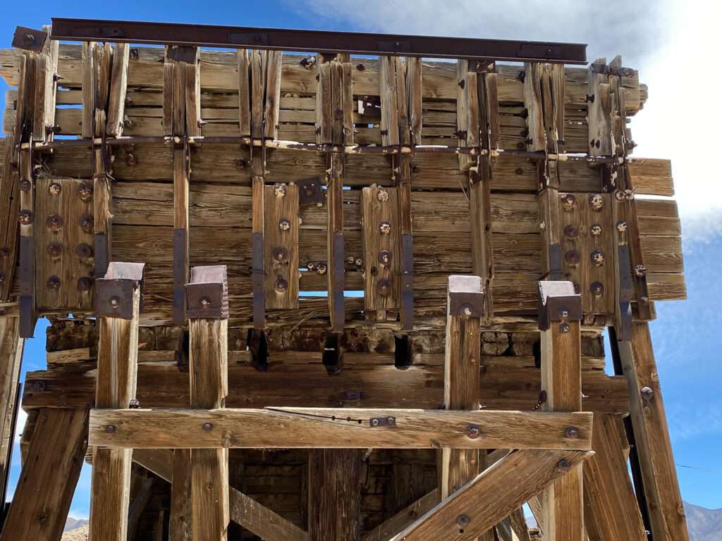
You can still see the railroad route through Luning.
Hawthorne Veterans Park

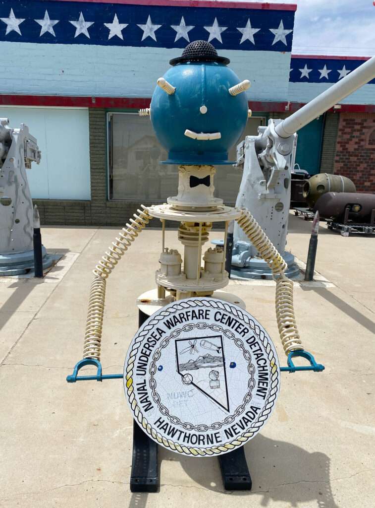
Hawthorne is the only place I have seen bomb windmills!


Hawthorne always flies a Holiday Flag.

Hawthorne Chinese Cemetery
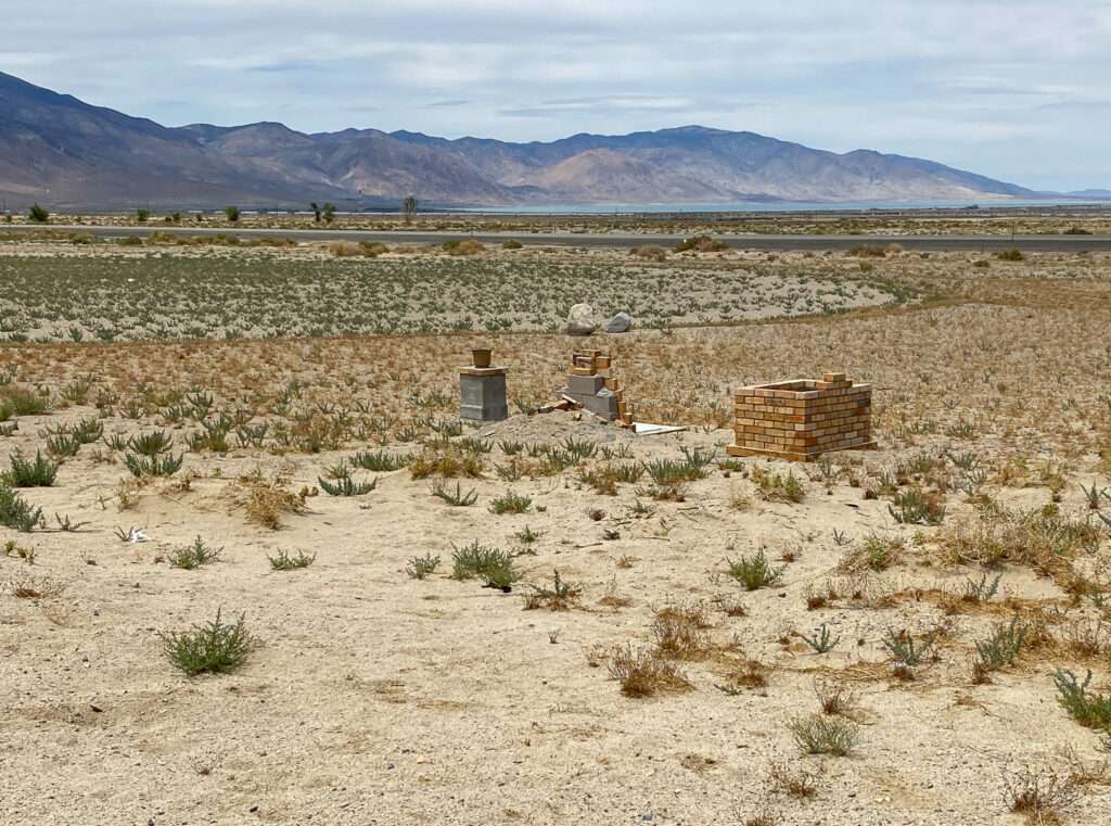
For personal reasons, I have an interest in Chinese history in Nevada. After writing about the Chinese Grave in Mineral County, a reader told me about the unknown Chinese graveyard in Hawthorne.
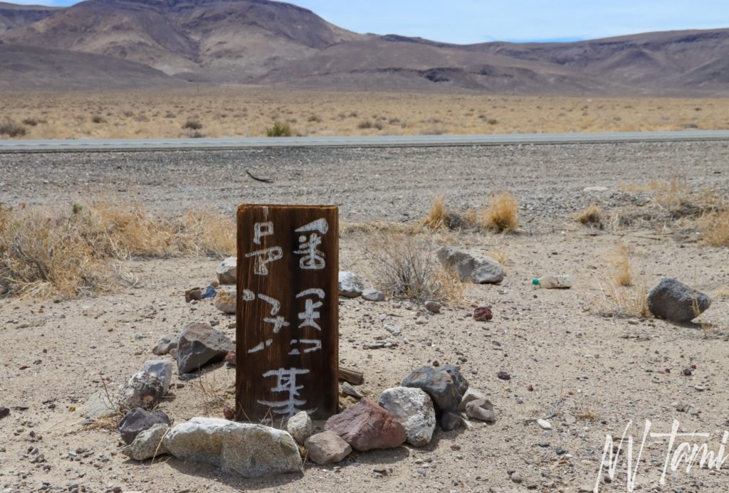
For two years, I have wondered about the Chinese graves. It was always on my mind when I drove through Hawthorne, but I was always in a rush. So when I decided to take my time driving home, my first thought was to look for the graveyard.

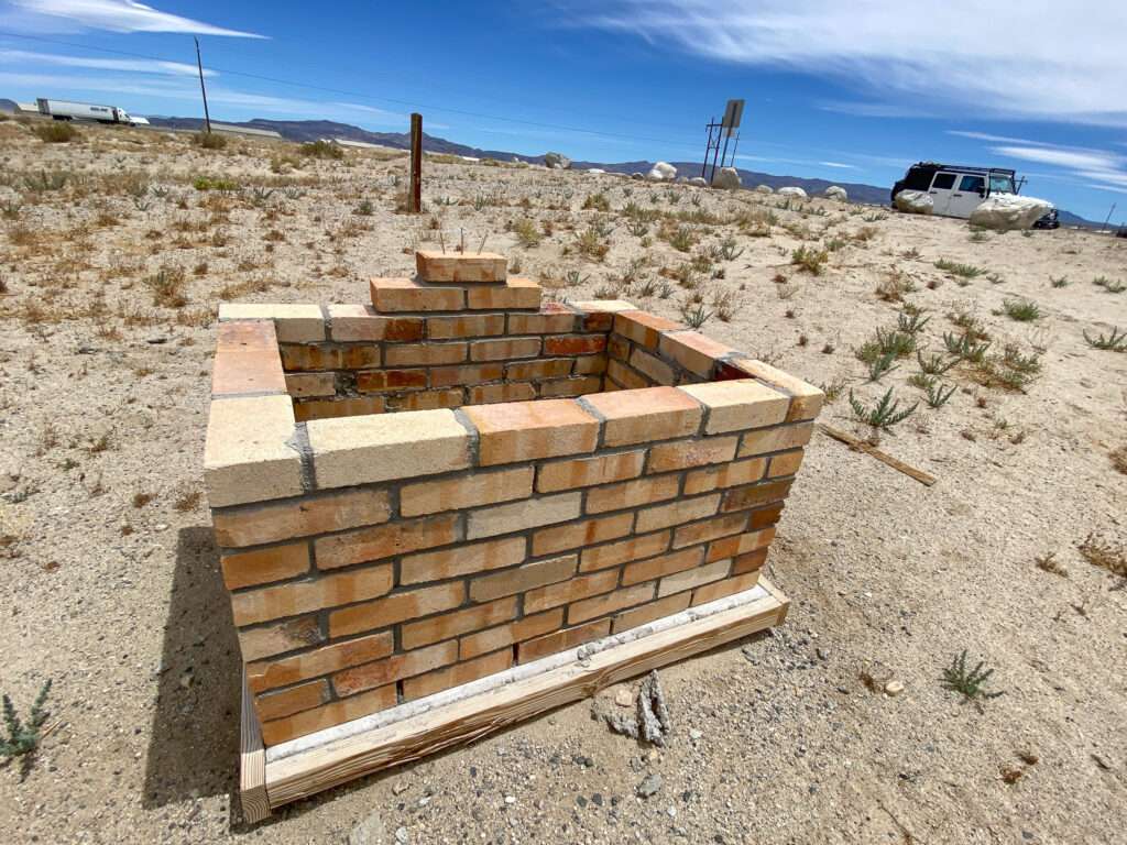
Armed with an approximate location, I drove around but couldn’t find evidence of the graves. I thought the markers had been removed to secure the site. I had given up and was headed to the regular cemetery when I saw a side road. I was at the end of the road when I noticed the markers.
Miners’ unions prohibited the Chinese from working underground, so they worked as laborers, woodcutters, laundrymen, and servants, facing more discrimination than any other minority group. In some towns, the Chinese built underground cities and stayed out of sight during the day to avoid persecution. Pendleton, Oregon, has preserved its underground Chinatown and tours, which I highly recommend.
Chinese laborers made up ninety percent of the builders of the Central Pacific Railroad. The workers leveled land, built bridges, and laid track. They lived in tent towns and were paid from a train car accompanied by other cars providing gambling and female (ahem!) companionship. After completing the transcontinental railroad, many went to work on smaller narrow gauge lines.

The narrow-gauge Carson and Colorado Railway ran from Moundhouse, Nevada, to Keeler, California, south of Cerro Gorgo Mines. Construction began on May 31, 1880, and the first train arrived at Keeler on August 1, 1883. The route ran on the east side of Walker Lake and then turned southwest towards Luning and Candelaria. It is unknown how many Chinese workers died during the construction of the railroad lines, but the numbers were in the thousands.
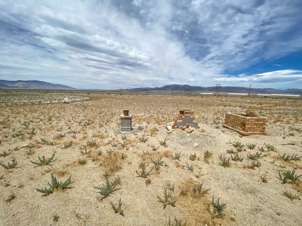
Hawthorne had a good-sized Chinatown. Most of the men were single, or their wives remained in China. Chinatown had its own cemetery, possibly with hundreds of graves. Unfortunately, details were lost to time, but human remains detection dogs identified several graves. I believe this was the same group I worked with to identify graves on the Carson River Route of the California Trail.

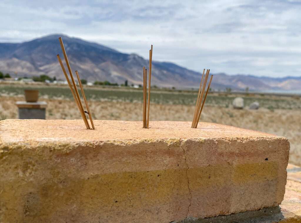
Three memorials mark the graveyard. Unfortunately, the Mineral County museum was closed, but I plan on visiting and look forward to discovering more.
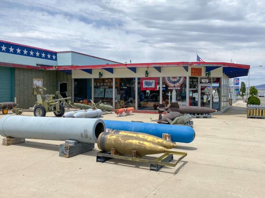
Ordnance Museum
I’m not sure how many other females can do this, but I have wanted to visit the Hawthorne Ordnance Museum for years. I thought it would finally happen. No such luck; darn it, there were closed. I need to plan a day to explore Hawthorne only.

Walker Lake
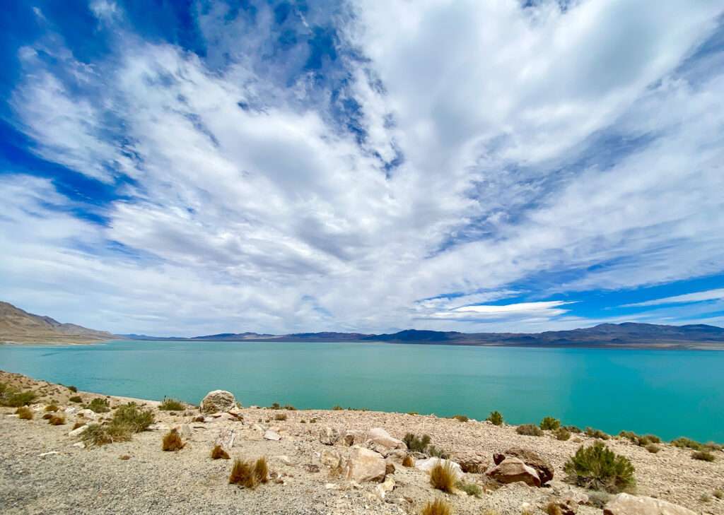
I couldn’t resist pulling over and photographing Walker Lake; the color was spectacular.
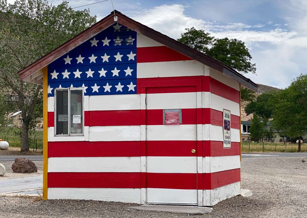
Smith Valley Truck Scales
I lied; I had to make one more stop. I always drive past the truck scales but never stop photographing the building—what a great way to end my 4th of July trip.
Honey Badger Repairs

I have had issues on the trip with traction control and losing acceleration in Honey Badger. Thank you, Steve, who walked me through replacing the crankshaft sensor.
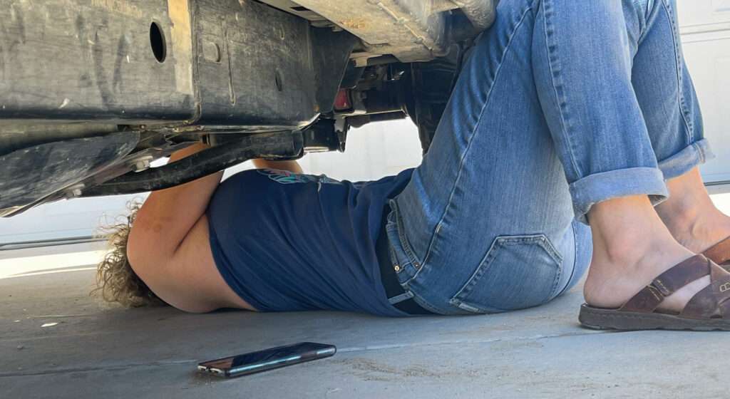


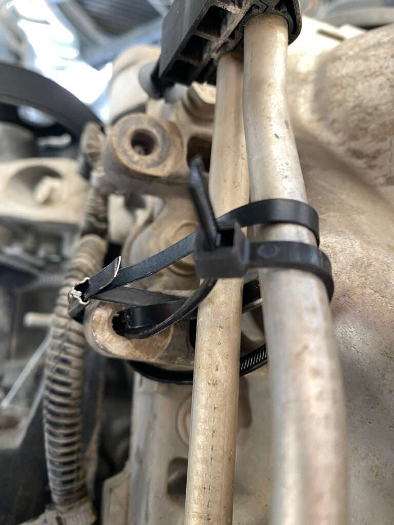

We noticed the lines to the transmission cooler were loose, so we made a short temporary repair. Does that make me a real Jeeper, repairing my Jeep with zip ties? 😆
Follow me on social media:
terry says
drove through those towns not knowing much about why they were there.made me wonder why they are there and how people made a living there. your article gives a little history and info on why they are there, thanks. curious, have you been to cerro gordo?
Tami says
I’m glad you gained some insight. I have a few articles in the area, but it will be some time before I write full articles on these towns. I am working on a book, so need to focus on writing and researching the outlying conties I don’t hit as much. Nevada Expeditions has great info on many of the towns along this route.
I thought of Cerro Gordo when I was in Death Valley earlier this year but we ran out of time. Friends and I are talking about a trip focusing on that area.
Anonymous says
Hi Tami
I have been to Cerro Gordo three times, most recent was February 2020 just before everything shut down due to covid. I would highly recommend that you do go sooner than later. There was a beautiful old wooden hotel and after surviving for decades it burned down to the ground sometime after my visit. There are new owners of the town and I rather think they don’t know how to preserve a town like Cerro Gordo. There’s a lot of info on the town on the web and it has an interesting history. There are still several structures there. Dellilah
Tami says
I wanted to go when I was in Death Valley last year, but we ran out of time.
I heard that the old hotel burned, very sad. Thank you for the suggestions, I’ll see if we can detour on the winter trip to visit.
Karla Berg says
I’m not familiar with the Tonopah and Goldwater railroad. Is that a typo?
Tami says
Thank you for catching that; autofill struck again. I corrected the article.
Pepper Rouge says
I lived in Tonopah for 3 years in the late 70s. My son was born at Tonopah General Hospital in 1977. My husband worked for the USForest Service working on and writing on a federal “Wild Horse and Burro Study”as a result of the attention “Wild Horse Annie” brought to them.
You didn’t mention the “Lady in Red” ghost at the Mizpah! They know which rooms she visits!
We also had a lot of fun digging up old outhouses and finding old purple bottles! There were lots of residents with great collections.
Tami says
I haven’t written a post specifically about Tonopah or the Mizpah. My friends stayed in the “murder” room. Someday I would like to stay in the Lady in Red suite.
During this trip, they were having a sci-fi writing convention. We didn’t see them much, but they were hunting ghosts in the evenings.
Steve Knight says
Your best post. We’ll organized and interesting reading. The picture layout was muck better then others. Keep up the great work. I’ve been to almost all the sites over the years. Next time together
Tami says
Thank you, this was a different format as it was a travel update. I’m trying to standardize both formats, so I’m glad you liked this one.
Bill Moriarty says
Tami, LOVE your stories! I had a motorhome and Honda Civic ‘toad’ until 2008 and spent time in Tonopah (before the Mitzah reopened and McDonald’s was still there). I remember driving around an old airforce base. My bible was Stan Praher’s Nevada Map book.
Do you know Wonderhussy (Facebook stories)?
Glad you have THREE G’s!
Tami says
I was telling my friends the coffee shop used to be Mcdonald’s. The old base is fun to visit; if you look back, I have some photos where there were cool clouds.
I call Stan’s book the bible of Nevada ghost towns. I have three copies of each and am fortunate to call Stan a friend.
I know of Wonderhussy; I don’t watch you-tube, so I haven’t seen much of her stuff. I’ll have to look for her Facebook page.
Cathy koos says
What brand drone do you use? And which model farming?
Tami says
My drone is a DJI Mavic Air II. This is the drone recommended to me by several commercial drone pilots. It has better distance and photo quality than the Mavic Mini. They said it was the best for the price.
Do you mean what model Garmin? I have the inReach Plus. I went with it as it is independent of the phone, which I tend to break. For the mini, you have to use a phone as the keyboard.
Wendy Gates says
Thank you for all this info. We are desert people and have spent years camping on BLM land in Southern California deserts and jeeping around. We are very familiar with Cerro Gordo having visited the town several times when it was owned by a woman for 20 years. She had a nice older man and his wife live in the town to caretake. However a few years ago a younger man purchased the town, and lives in it most of the time. He is restoring the town, while also exploring. I don’t think he allows visitors at this point. He has a Youtube blog and is documenting the progress that is being made on restoration. I am sorry that I don’t know the link to his Youtube blog, but I am sure it would be easy to find. My husband and I want to explore more of the Nevada desert. We have been in Janesville, CA a little over a year, so we are about an hour from Nevada border. Is there BLM land to camp on near those towns? We always look for good desert bars….any place you can recommend?
Tami says
I know of Cerro Gordo and the videos, and I would love to visit sometime. I was going to try last winter while I was in Death Valley, but we ran out of time.
Most of Nevada is federal land, so I’m sure there are some great spots. McKinney Tanks is popular for camping.
The Mizpah is always great for desert bars, but it is at the hotel. For small funky bars, Dirty Dicks in Belmont is a must-see. Also, the bar in Gold Point is very popular. I stayed at their B&B but was pregnant a the time. I have not written specifically about those sites, but here is some information.
https://nvtami.com/index.php/2021/05/06/belmont-nevada-2/
https://nvtami.com/index.php/2020/09/04/belmont-nevada/
Mike says
Love all the work you are doing for our benefit i am an explorer myself only part time till I retire please May I ask in one of the photos you have a book open in the front seat what book is that ?
Tami says
You are welcome; I have loved doing it.
The book is Stan Paher’s Nevada Ghost Towns and Desert Atlas. This is the hardbound combined book; he also has books split north and south. They accompany his big book Nevada Ghost Towns and Mining Camps.
I returned last night from camping for four days with Stan. We found some changes he will make in his next atlas.
If you are in the area, Stan has a booth at Candy Dance. I will be helping him both days.
LACEY says
i WISH YOU WOULD TELL US WERE THESE PLACES ARE AT LIKE KEYSTONE MINES ETC
Tami says
It is common for ghosttowners to not give exact locations. Most of us believe that those who work to find the sites are more likely to preserve their history. The search is also a significant part of the hobby, kind of like an adult Easter egg hunt. Stanley Paher’s Nevada Ghost Towns & Desert Atlas is a great starting point.