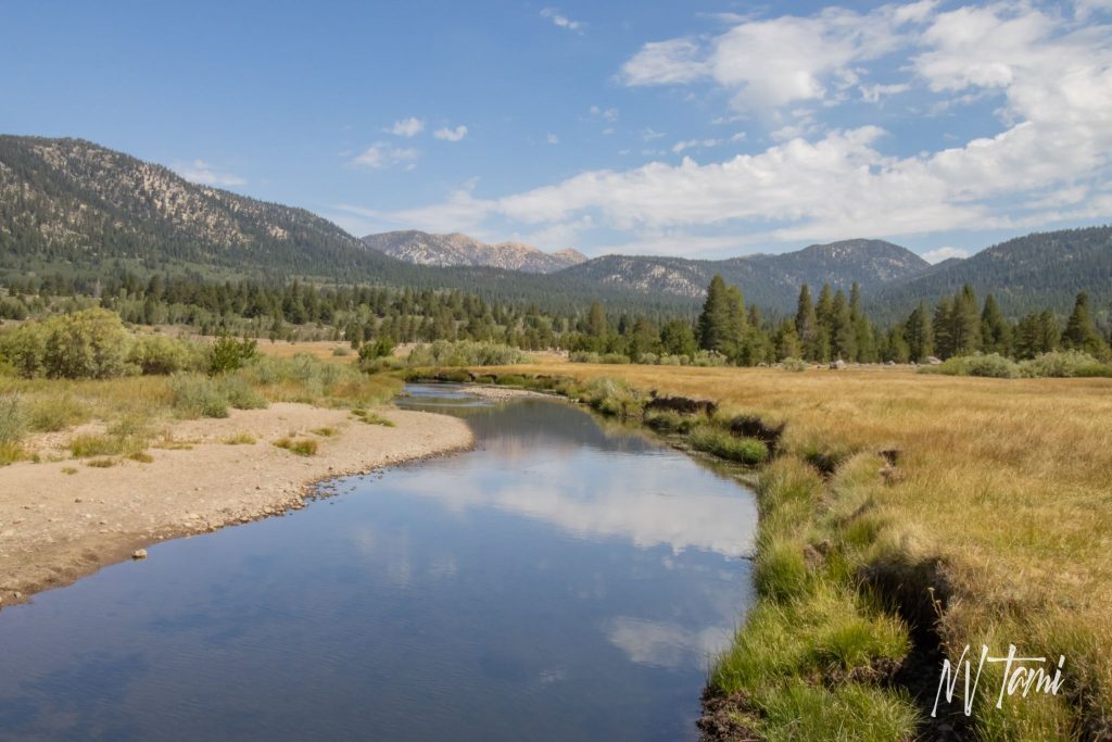
The Carson River Route traverses the Sierra Nevada Mountains connecting Carson Valley, Nevada, to goldfields in California. Pioneers searching for an easier route across the treacherous and snowy range developed the trail. Over one hundred seventy years later, you can follow much of the original path. An astute explorer can observe the evidence left by the pioneers.
This article follows the route, not the chronological order, of the Carson River Route. The course is laid out west to east, just as the first pioneers made their journey.
Mormon Battalion Pioneers
After the horrors the Donner-Reed party faced crossing the Sierra Nevadas in the winter of 1846-7, explorers searched for an alternative to the Truckee River Route. In 1848, the members of the Mormon Battalion, returning from the Mexican-American War, prepared to leave California for Salt Lake City. They learned of an Indian trail about 25 miles south of Donner Pass. On July 3, forty-five men, one woman, 150 oxen and 150 horses and mules, 17 wagons, and two cannons began their eastward journey in the hope of finding a better way across the Sierras.
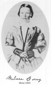
Melissa Coray, the sole woman in the party
The party encountered steep mountains and rugged terrain as they gradually moved eastward. Years before, local Indians warned explorer John Fremont that the route in winter was impassible “…rock on rock, snow on snow.”
Tragedy Springs
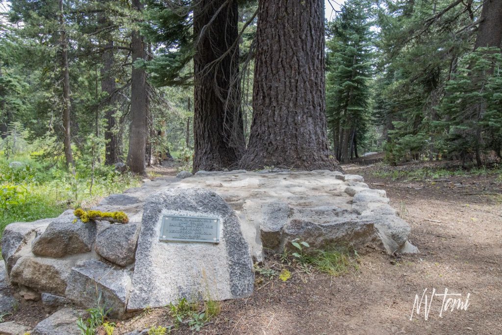
Seeking a more accessible trail, three members of the Mormon Battalion, led by Daniel Browett, separated to scout ahead. When they did not return, a second scout group headed out to find them, to no avail. Unfortunately, the main party found their bodies in a shallow grave on July 19. They named the site Tragedy Springs. After reburying their murdered comrades, the Battalion pressed on.
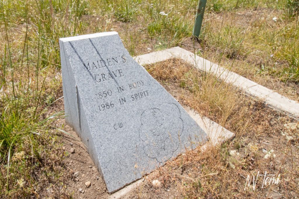
Maiden’s Grave
Even though the Carson River Route was more manageable than the Donner Pass, it remained perilous, and many emigrants did not survive the journey. Often, graves were unmarked and unrecorded, the identity of the deceased unknown. Unmarked graves sometimes lead to confusion, as in the case of Maiden’s Grave.

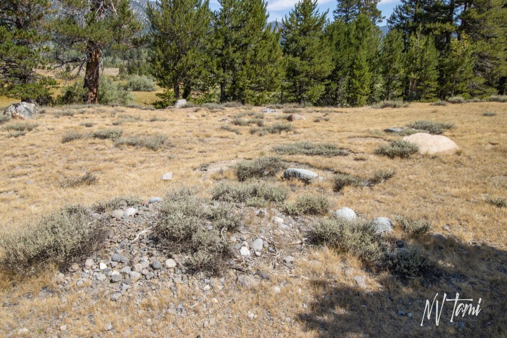
Unknown Pioneer Graves
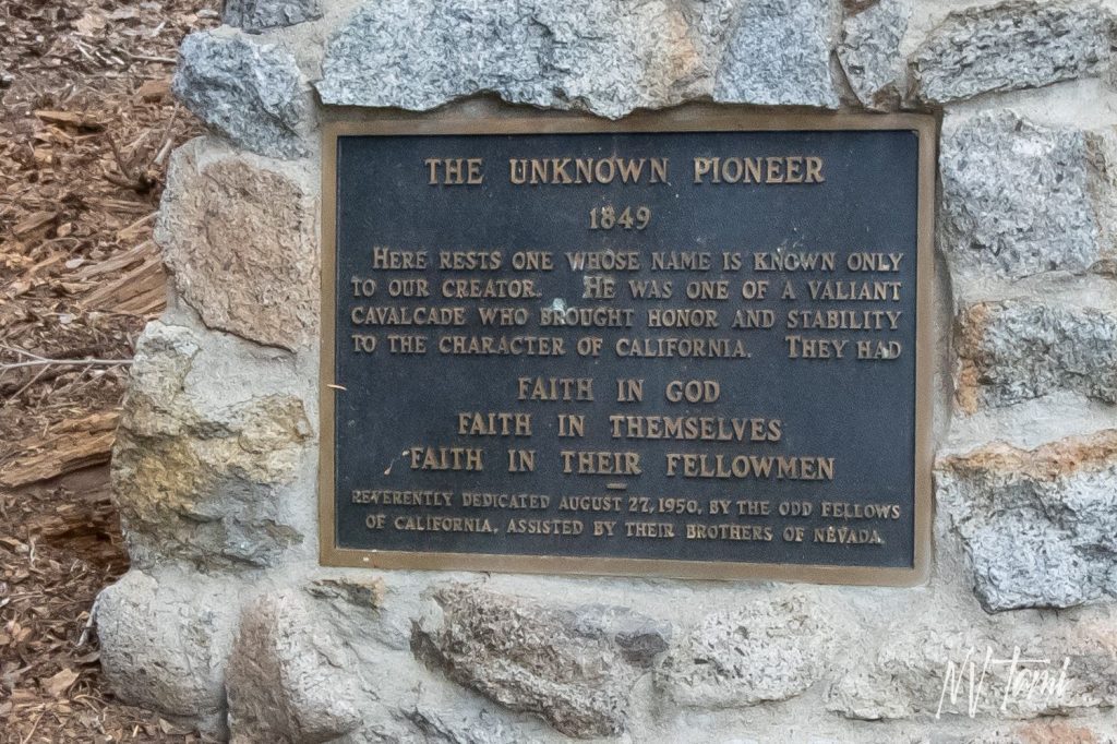
Unknown Pioneer Grave: Devil’s Ladder
A few graves bear headstones or crosses marked with names. Most are evidenced only by a pile of rocks or a mound of earth. Local lore holds that there is a grave for every mile of the Carson River Route.
Devil’s Ladder: The most notorious section of the Carson River Route
Carson Pass was the highest point California-bound emigrants traversed on their journey west. The steepest slope they encountered connected Red Lake in the east to Carson Pass in the west. Leaving California, the Mormons descended the pass and camped at Red Lake on July 29, 1848.
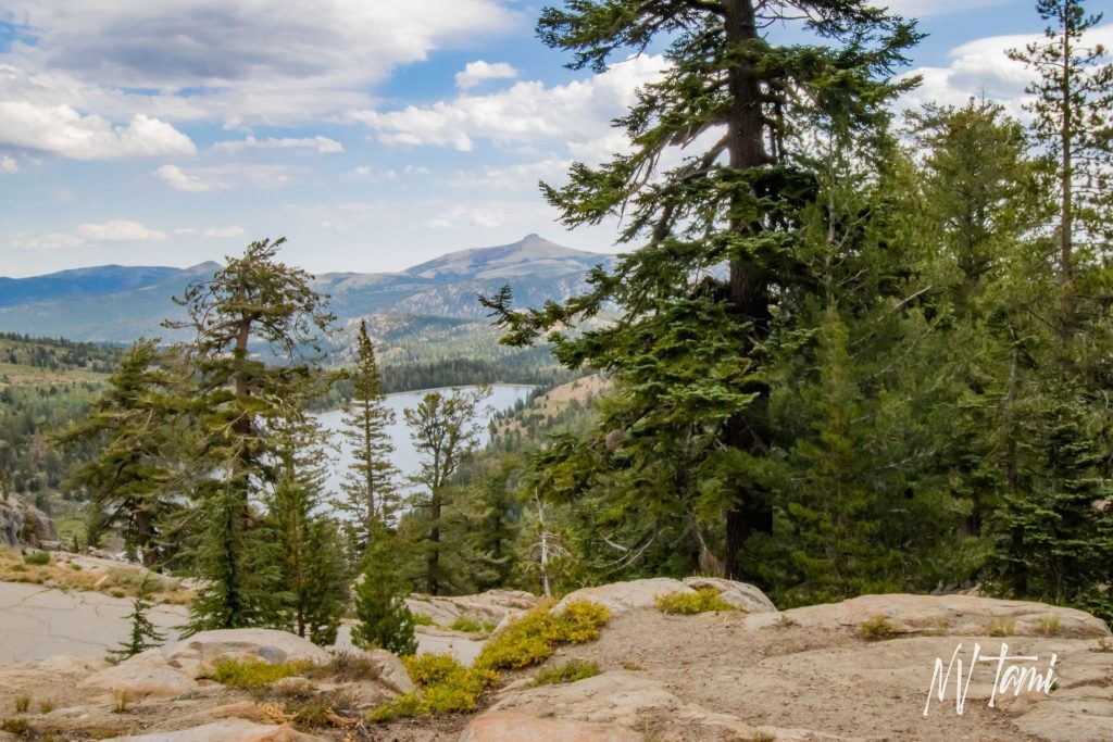
The section of the trail became known as “Devil’s Ladder” and was a topic in nearly every westbound emigrant journal. Devil’s Ladder seems impossibly steep, and emigrants resorted to using block and tackle to haul their wagons up the swale. However, over 250 wagons were often waiting their turn to ascend Devil’s Ladder in its heyday despite the difficulty.
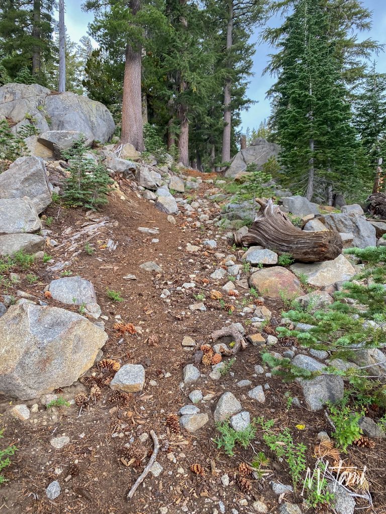
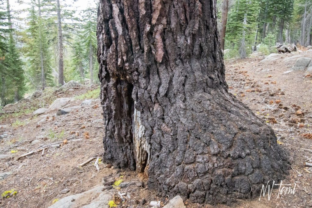
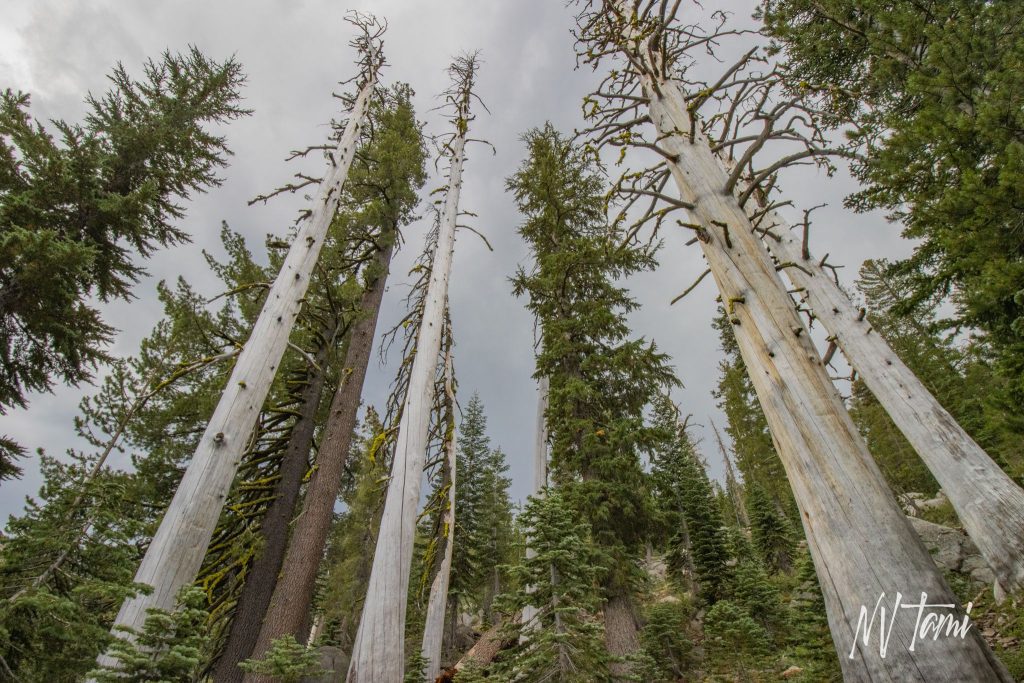
Trees Flanking Devil’s Ladder
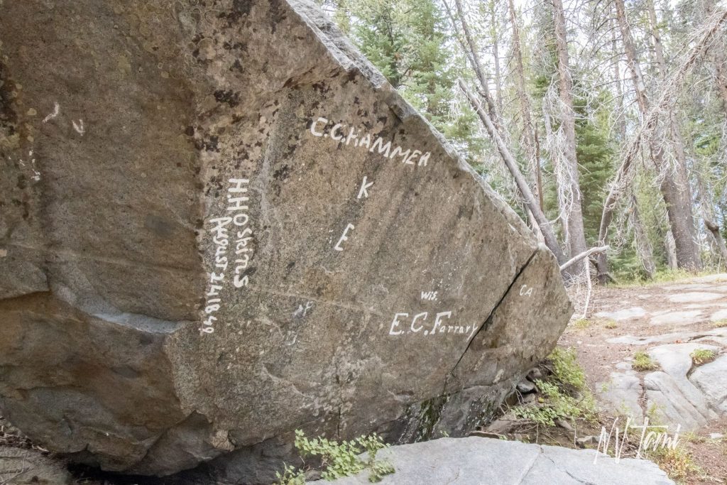
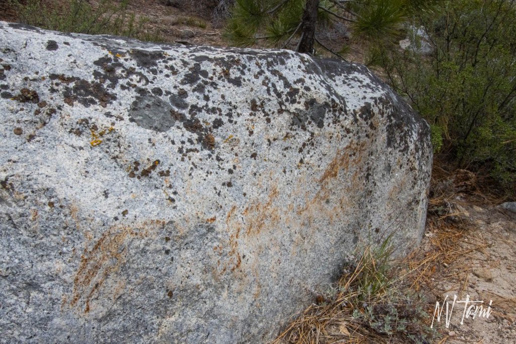
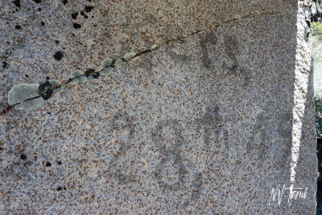
Odd Fellows Rocks
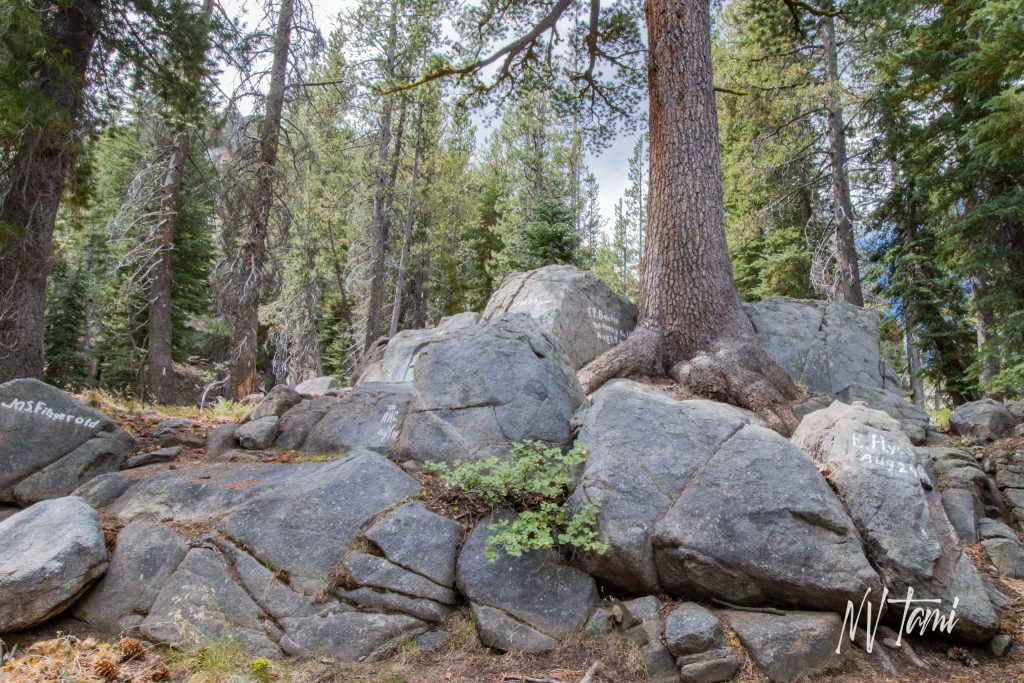
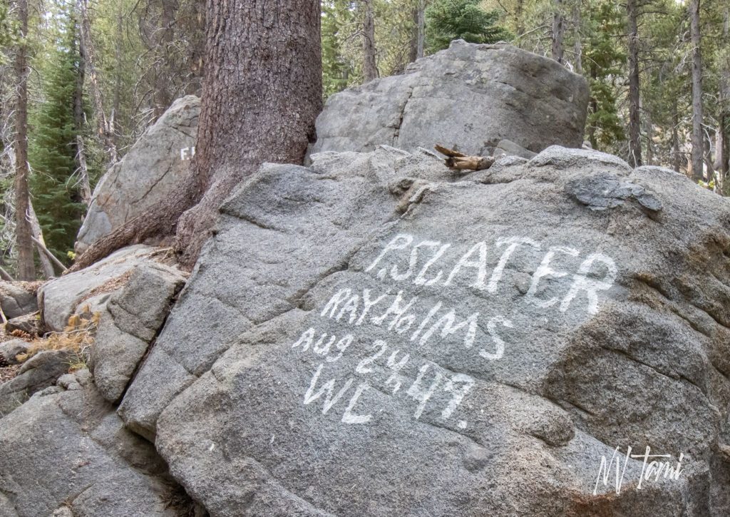
A group of Odd Fellows stopped at the top of Devils’s Pass on August 24, 1949. They painted a series of granite boulders with their names and the date.
Hope Valley
After descending past Red and Blue Lakes, the Mormon Battalion arrived in Hope Valley late on July 29, 1848.
Camped at the head of what we called Hope Valley, as we began to have hope.
Diary of William Bigler, 1848
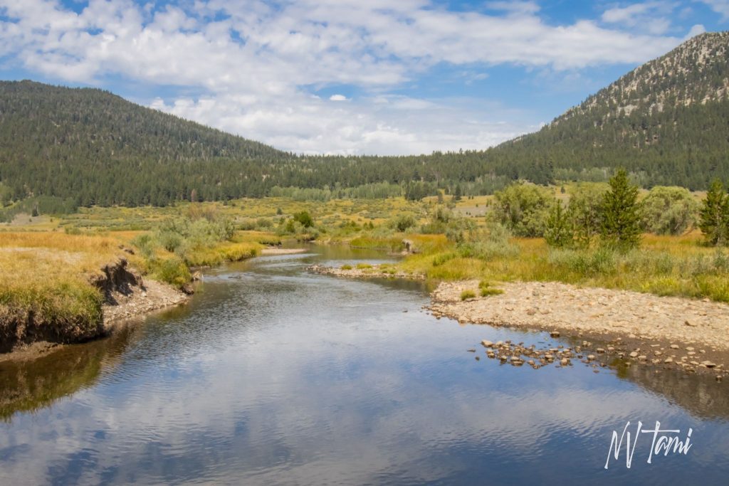
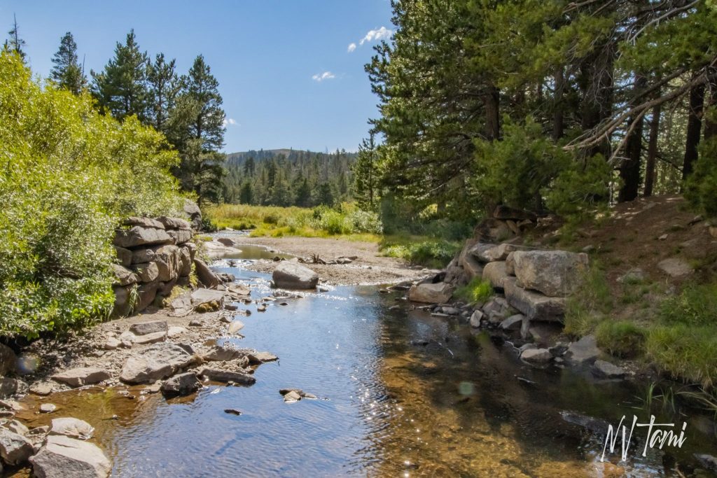
Hope Valley would become a resting place for weary travelers. Later it would become an important crossroads with the Carson River Route to the east and west, Johnson Cutoff to the north, and Big Trees Route to the south.
…the mountains close in upon us on every side, and raise their lofty peaks high toward heaven…
Diary of James Abby, August 11, 1850
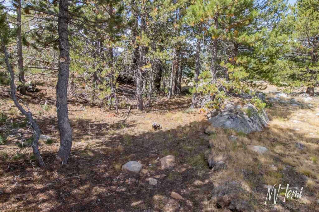
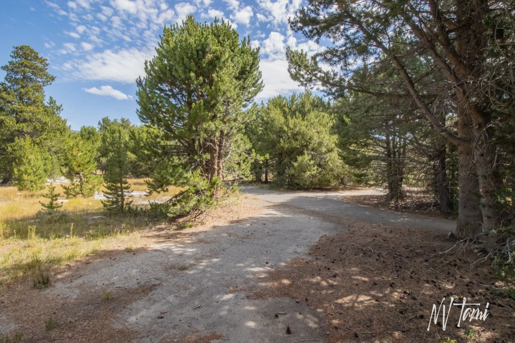
Emigrant Trails Crossroads
Pioneer Markings
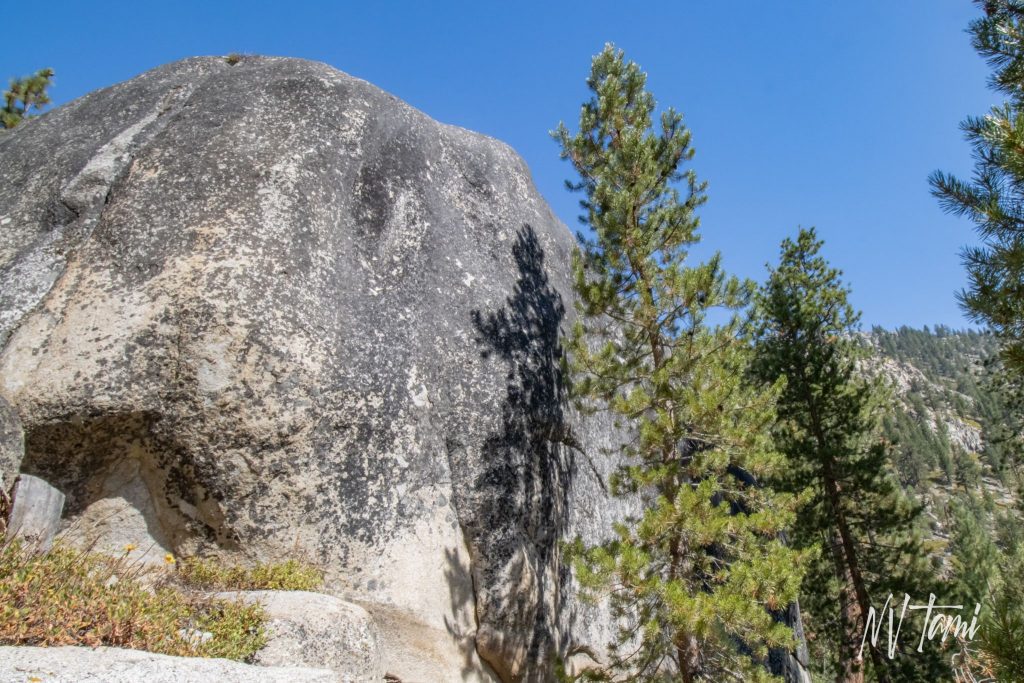
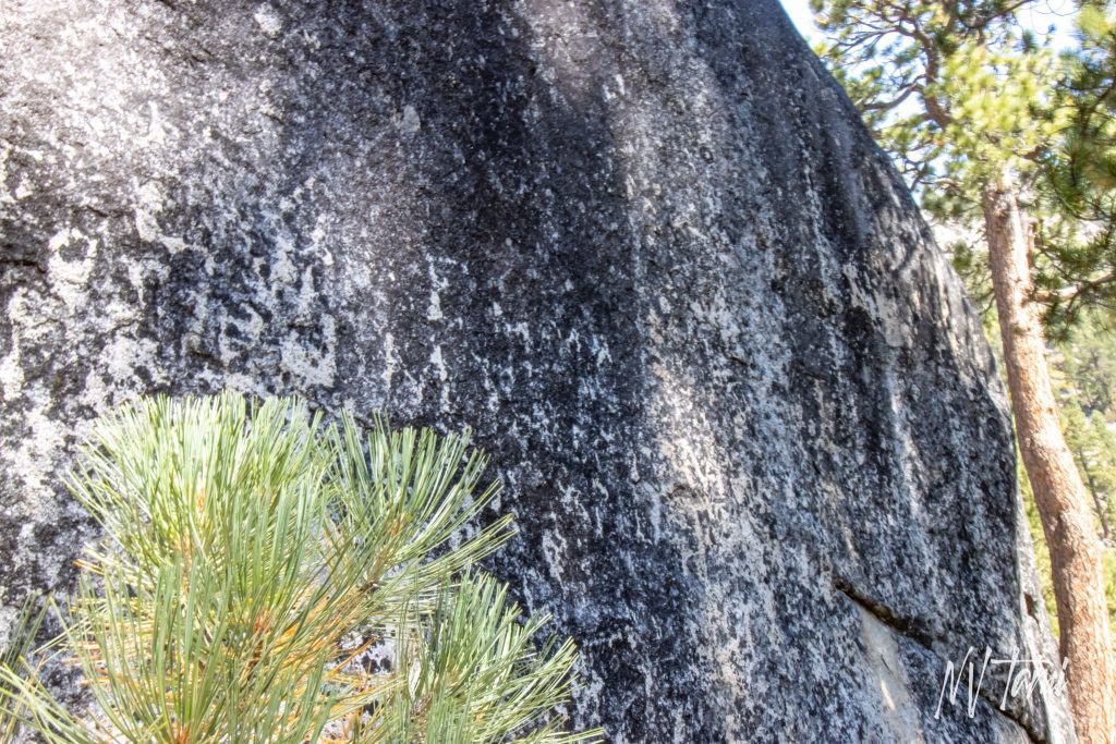
In their travels, emigrants left evidence of their passage. Wagon tires rubbed against rocks, leaving rust stains, grooves, and polished areas. Emigrants scratched or used axle grease to write their names and the date into granite boulders.
Snowshoe Thompson’s Cave

The Mormon party followed the Carson River east and down to Carson Valley. John “Snowshoe” Thompson followed this same route while delivering mail over the Sierras between 1856 and 1876.
Why any man imagined that a wagon could pass up here is a mystery to me…
Diary of Henry Starr, 1850
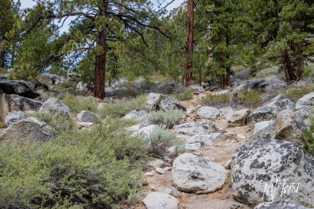
We started early and passed up the canyon which was rocky beyond description…we at last got through the kanyon (sic), and the road was filled with waggons (sic).
Diary of William Brown, 1853
49ers and the Carson River Route
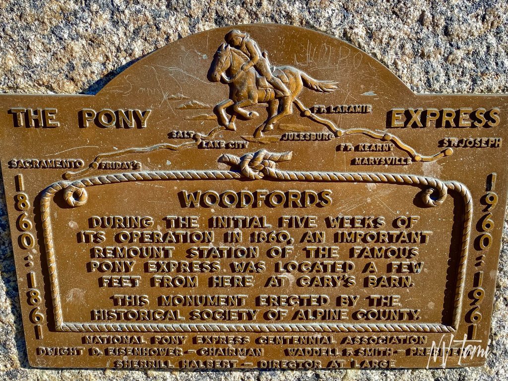
Encouraged after reaching Hope Valley, the Mormons drove on. Progress was slow, requiring the pioneers to ford the Carson River and move large boulders. Arriving at Woodfords at the base of the Sierras on August 4, 1848, the Battalion turned east to Salt Lake City.

(Photo credit: Wikipedia)
On January 24, 1848, James Wilson Marshall found gold at Sutter’s Mill, and a flood of emigrants was poised to head west. As a result, word of the new trail spread quickly, and the Carson River Route became a major route over the sierras.

In the first year of the Carson River Route, 500-700 emigrants traveled the new path westward as the trail became known. Quickly, it became the principal route across the Sierras.

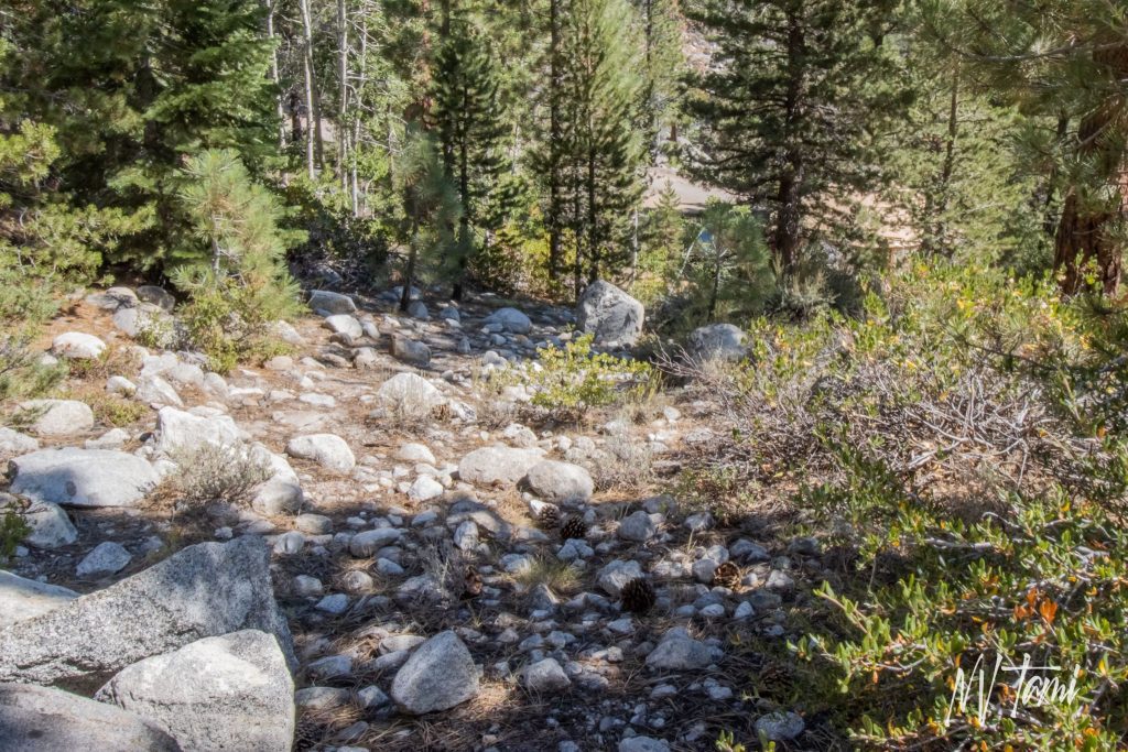
Despite the route being higher and steeper than the Truckee River Route, the trail was easier to navigate and required only three river crossings instead of twenty-seven. For the next three years, 20,000-50,000 “49ers” traveled over Carson Pass to the Gold Country each year.
Silver Rush
In 1859, prospectors discovered gold and silver in Dayton, Nevada Territory, and the tide turned again with fortune-seekers headed east from California to the Comstock. In 1859, the Carson River Route enterprising developers improved the trail, developing it as the Amador-Carson Valley Wagon Road. The Pony Express used a part of the trail to Woodfords for five weeks in 1860.
The Carson River Route remained in heavy use for several years until it was supplanted by the Henness Route through Verdi.
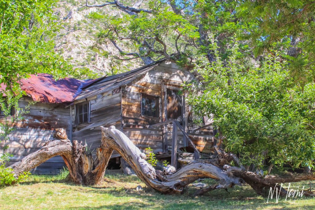
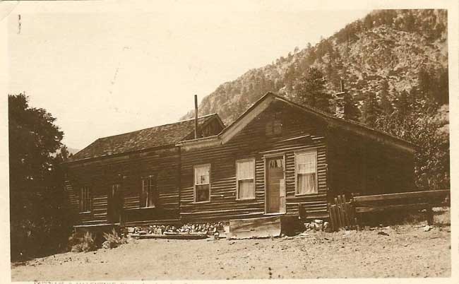
(Historic Photo Credit: Claritage Press)
Today, the Carson River Route parallels US Highway 88 from Carson Valley to Amador County, California. The Henness Route lies alongside Interstate 80 from Reno to Sacramento. Thousands of travelers use these roads daily. Yet, few know they are in the literal shadow of pioneers who braved the Sierras, often at the cost of their lives, so many years ago.
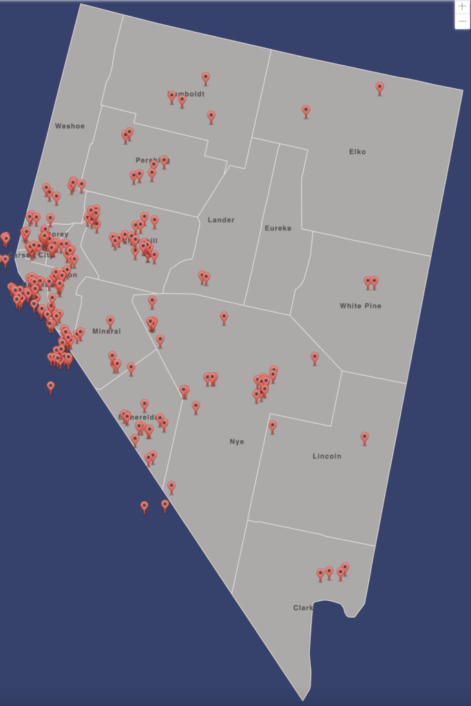
For information on more than three hundred Nevada and California ghost towns, emigrant trails, and Pony Express Stations, visit Nevada Ghost Towns Map.
References
- Calexplornia: The Maiden’s Grave: A Story of Hope, Loss and Mistaken Identity
- Calexplornia: The Murderous Tale of Tragedy Spring and the Mormon Emigrant Trail
- California-Nevada Chapter of the Oregon California Trails Association: Carson River Route
- California Office of Historic Preservation: Alpine
- Carson Pass: Historic Sites of Carson Pass
- Carson Valley Historical Society. Snowshoe Thompson. 1991. Pages 1-36.
- Clairitage Press: Woodfords, California
- Dustman, Karen. Historic Alpine: A Driving Tour of Woodfords, Diamond Valley & Fredericksburg Historic Sites. Clairitage Press, 2019. Pages 5-10.
- El Dorado County: Tragedy Springs
- El Dorado County: Traveling the Mormon Emigrant Trail
- Fey, Marshall. Emigrant Trails: The Long Road to California, A history and Guide to the Emigrant Routes from Central Nevada to Crossing the Sierra. Nevada Publication, 2019. Pages 157-158, 163-165, 171-172.
- Haerr Tripping: Carson Pass History Walk
- Hastings, Lansford W. The 1845 Poineers’ Guide for the Westward Travler: The Emigrants’ Guide to Oregon and California. Applewood Books, 1845.
- Historical Marker Database: Maiden’s Grave
- Historical Marker Database: Tragedy Springs
- Miluck, Nancy C. Nevada This is our Land: A survey from Prehistory to Present. Dragon Enterprises, 1994. Pages 41-42.
- Oregon-California Trails Association: Thirty-Third Annual Convention
- Paher, Stanley. Nevada Ghost Towns and Mining Camps. Nevada Publications, 1970. Page 61.
- Sacramento Valley: Devil’s Ladder at Carson Pass: A Hidden Historic Gem
- Sierra Nevada Geotourism: Maiden’s Grave (California Historical Landmark No. 28)
- Snow Brains: The Most Legendary Skier in California History? | “Snowshoe Thompson”
- Snowshoe Thompson: The Story…Snowshoe Thompson “Viking of the Sierra”
- Tortorich, Frank Jr. Gold Rush Trail: A guide to the Carson River Route of the Emigrant Trail. Wagon Wheel Tours, 1998. Pages 14,22, 32-43, 59-64.
- Travel Notes and Beyond: The Legend of Snowshoe Thompson, Lake Tahoe’s First Mailman
- Up and Over Carson Pass: Historic Sites on Carson Pass
- Visit Carson Valley: “Snowshoe” Thompson – The Mailman of the Sierra
- Waymarking: Carson Pass Highway – The Real “Maiden’s Grave”
- Waymarking: Tragedy Spring, California – Natural Springs
- Wikipedia: Tragedy Springs
- Wikipedia: Woodfords, California
Steve Knight says
Wonderful research and write up. As usual. Thank you for doing all that work!
Tami says
Thank you for the tour and all the information!
Trudy L Elliott says
That was fascinating, Tami! I was there with you going back through that trail. Thank you!
Tami says
Thank you so much. I hope to add more to the article or more separate articles covering locations.
Thomas Barnett says
Thanks for the very interesting story.
Tami says
I am glad you enjoyed it.
Sophie says
Hey Tami, I’m loving your blog. I want to go visit the Emigrant Trail Crossroads myself. Would you be able to send me a more precise location. I’ve been trying to pinpoint it on google maps but haven’t had success. Any help is much appreciated. Looking forward to more entries.
Tami says
So glad you are enjoying it. It looks like this article has a few things that got tweaked over time, so I will update it.
Are you talking about the crossroads in Hope Valley? That is at the corner of 88 and 89 at Picket’s Junction. The markers and ruts are on the northwest side; there is a small parking lot.
If you don’t have it, pick up the guide from Trails West Gold Rush Trail: A guide to the Carson River Route of the Emigrant Trail. All of their guides are amazing, and many provide directions and the newer ones GPS cords.