Searching for history in little-known ghost towns can be like prospecting; you search and search and find little to no treasure. A glint of promise teases, yet the vein is shallow and quickly runs out. This was my search for the trio of towns on Mt. Patterson. The information I found was sparse and had little depth. The few nuggets I found commented that there was little known about the former towns.

Miners were drawn to the Sweetwater Range in the 1860s to harvest trees for use in the mines and towns of Aurora and Pine Grove. While cutting lumber, prospectors explored the area and found promising mining locations. Half a dozen mining towns sprung up in the Sweetwater Range included Belfort, Monte Cristo, Star City and the largest and longest lasting town, Clinton.
Sweetwater, at the eastern base of the range, was the major supply center in the area. In the 1860s it was a station stop on the Carson to Aurora stage. The small town of fifty soles had a store that served local miners and a post office opened on January 26, 1870. A post office was opened in Clinton on April 13, 1882 to serve the smaller Mt. Patterson mining towns.
Star City was one of the earliest locations miners were active in the 1860s. Mining was limited until 1878 when J.H. Patterson and Anthony Hiatt located a silver and gold outcropping. Their strike became the Thoroughbrace Mine, the largest in the area. The mine consisted of three tunnels at 75′ and 150′ with the deepest shaft at a depth of 260′ and 500′ in length. Other mines in the area included Rattlesnake and Lucky Lady. A road continuing up Mt. Patterson from Star City was constructed in the late 1870s.
Miners were busy searching for the next big strike and didn’t have the time or energy to construct a home. As in many mining towns Star City was first a tent city where miners lived in small canvas structures. In the 1880s a few wood structures were built, the largest a boarding house. Around this time, Belfort and Boulder Flat were established, 1700′ up the Mt. Patterson Road above Star City at an elevation of 10,200′.
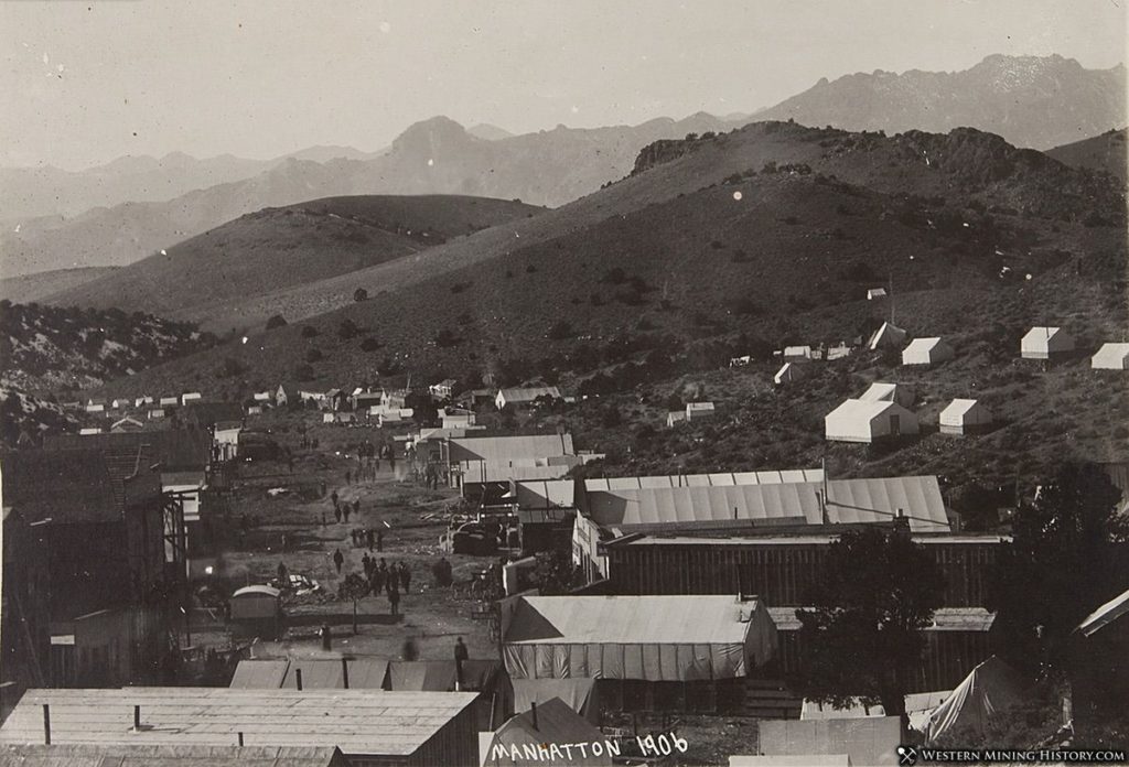
Example of a tent city: Manhattan, Nevada
(Photo credit: Western Mining History)
Mining was productive enough that the Patterson Mining District was formed in the 1880s. The most active years of the district was between 1882 and 1883 with a total value produced between 1880 and 1884 $500,000, $13M in 2021 value. Ore veins ran out within ten years and by 1888 only one mine in the Patterson district remained active. Star City was abandoned by 1890 and the town was dismantled and structures were relocated to new strikes. Postal service was moved from Clinton to Sweetwater on March 31, 1894. The Patterson District saw some mining activity in the early 1900s but Belfort, Boulder Flat and Star City remained ghost towns.
Star City
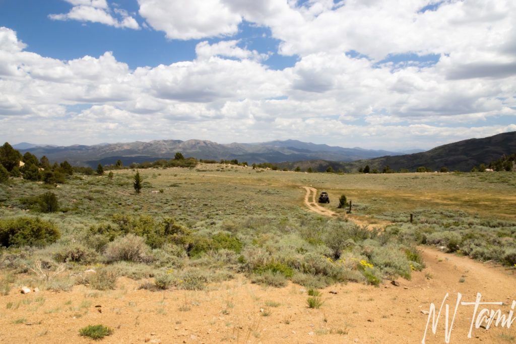
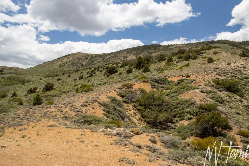
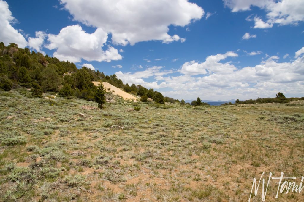
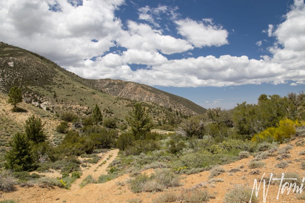
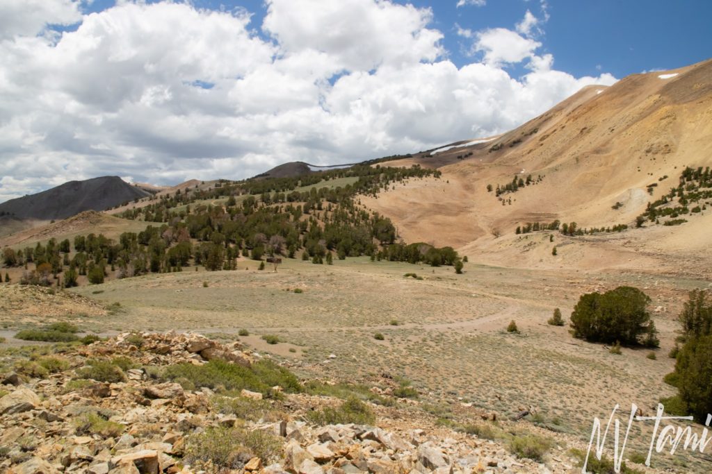
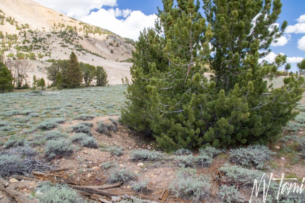
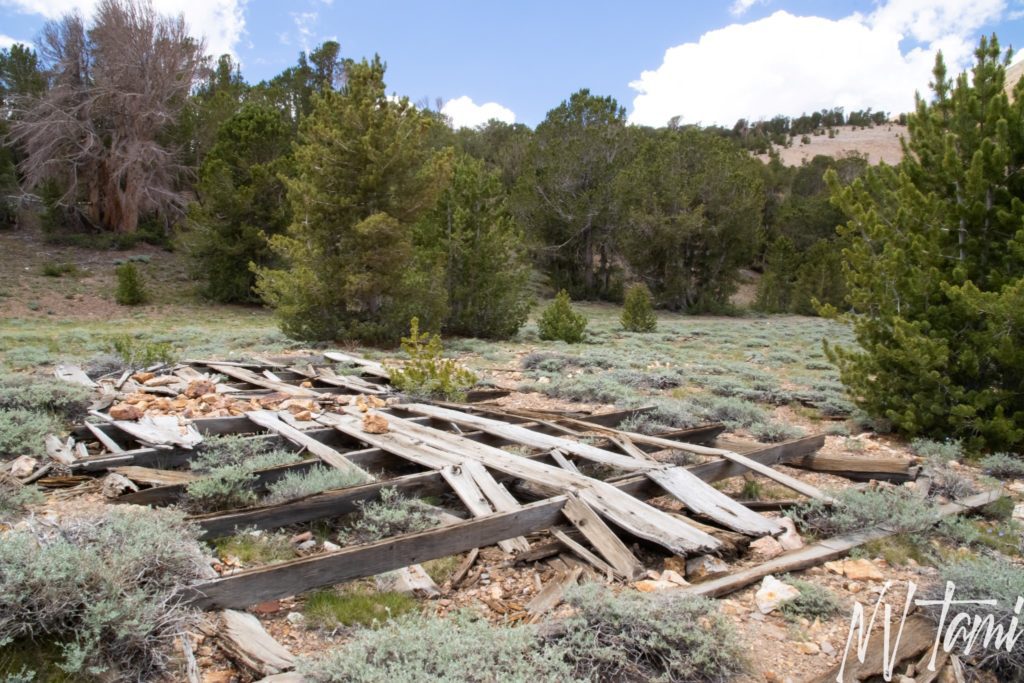
Heading up Mt. Patterson, the location of Star City is a large flat area. Mine tailings dot the mountain above the site. While Star City was one of the larger and older towns, it is the one with the least remaining. Other than evidence of mining activity, nothing remains.
Belfort & Boulder Flat
Belfort and Boulder Flat remain a bit of a mystery. Many sources say the remaining structures in a meadow are Belfort, sited on Boulder Flats. Other sources say Boulder Flat is a distinct town and the structures are located there. Two cabins above the flat area, one intact and the other a foundation, are the actual location of Belfort.
The 1909 USGS Map indicates Belfort and Boulder Flat as separate locations. Gudde supports this in his book California Gold Camps, He sites Belfort two and a half miles from Star City and Boulder Fla between Belfort and Star City.
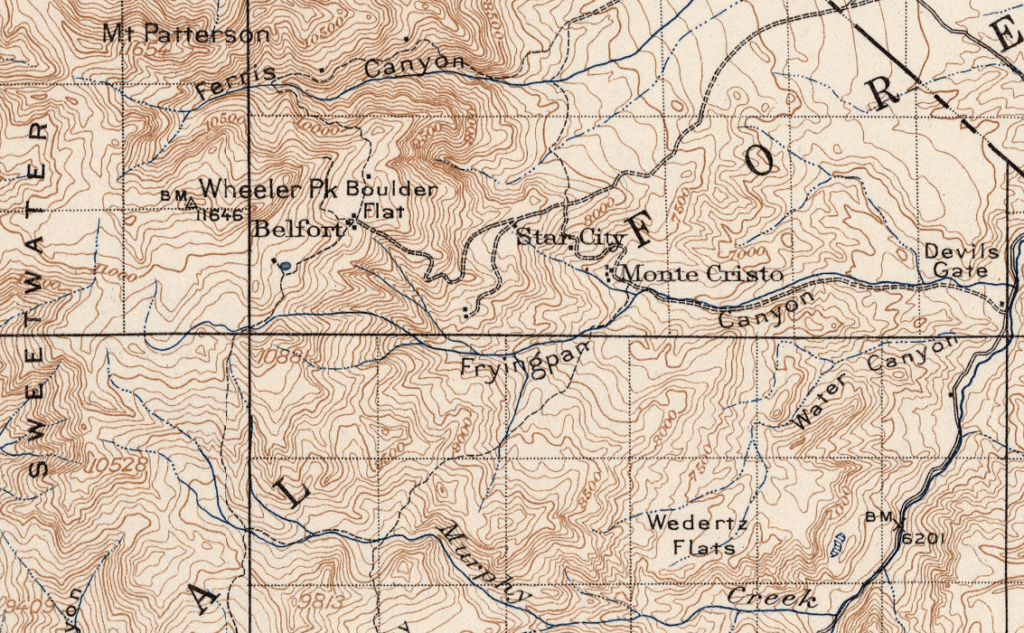
1909 USGS Map
(Photo credit: David Rumsey Map Collection)
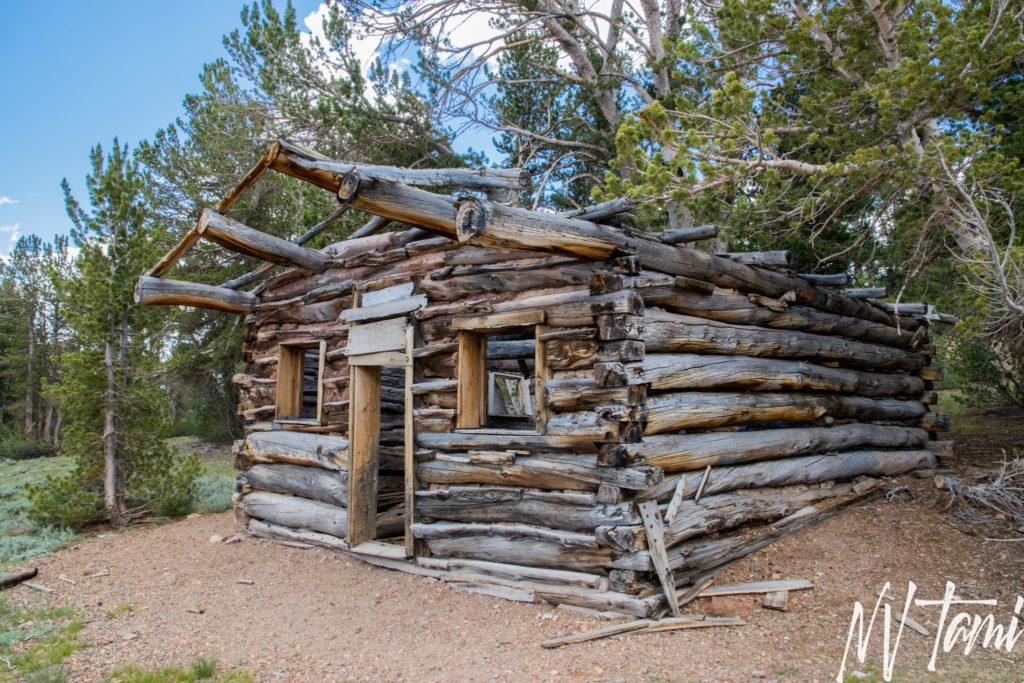
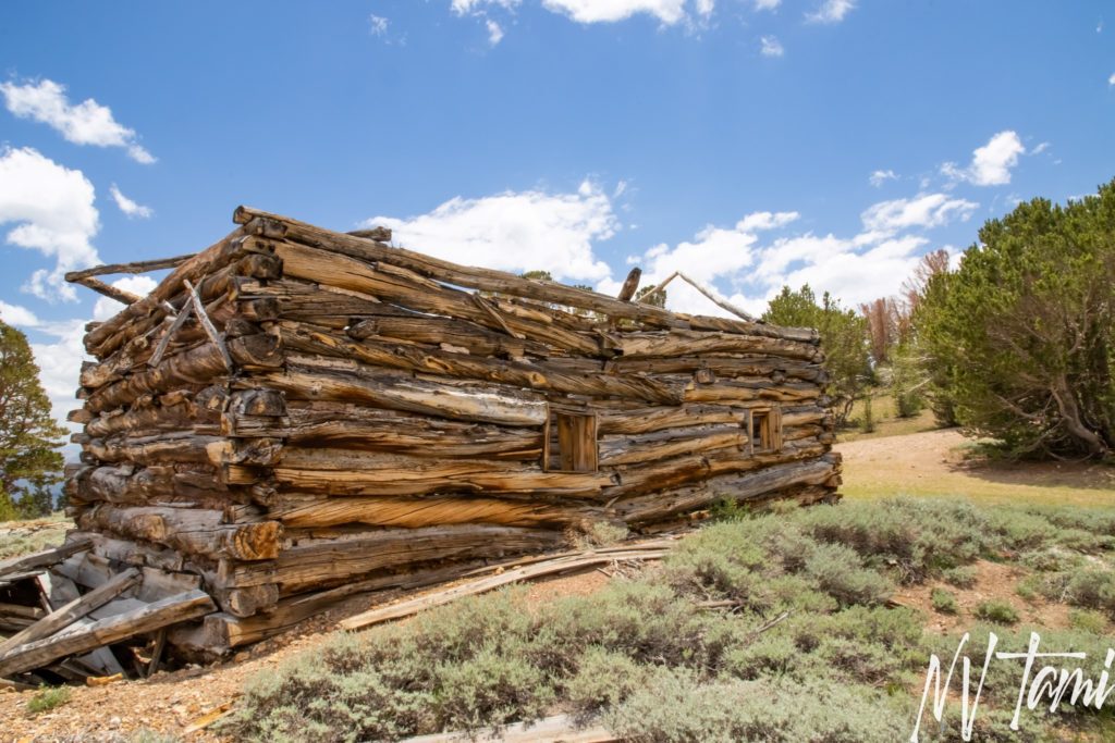
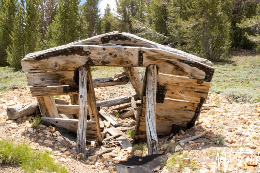
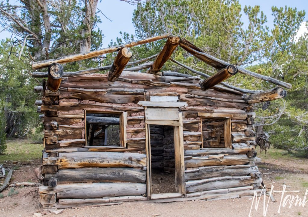
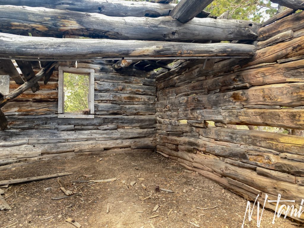
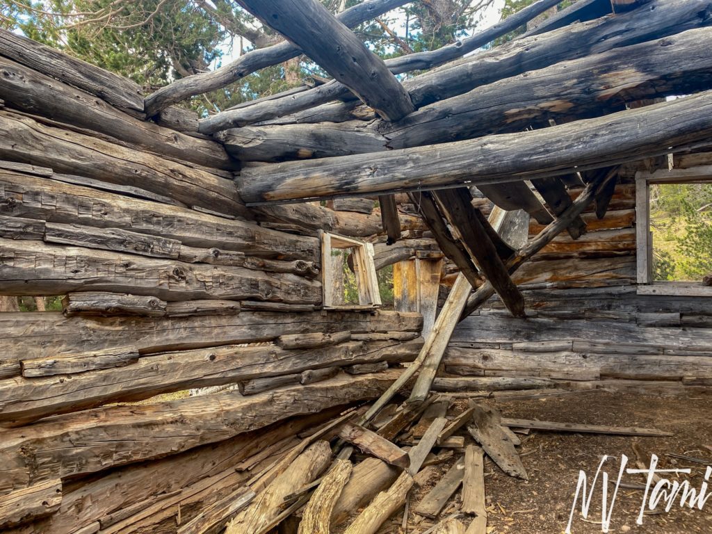
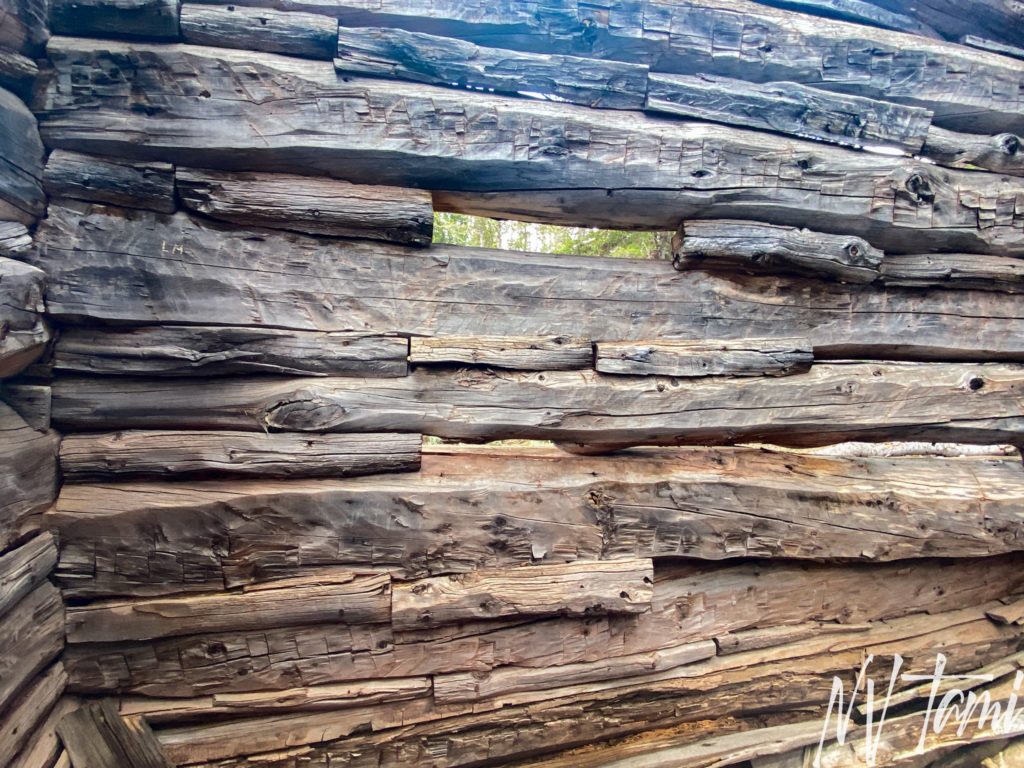
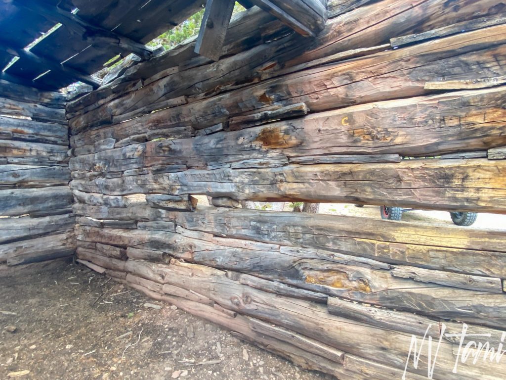
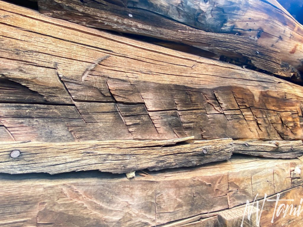
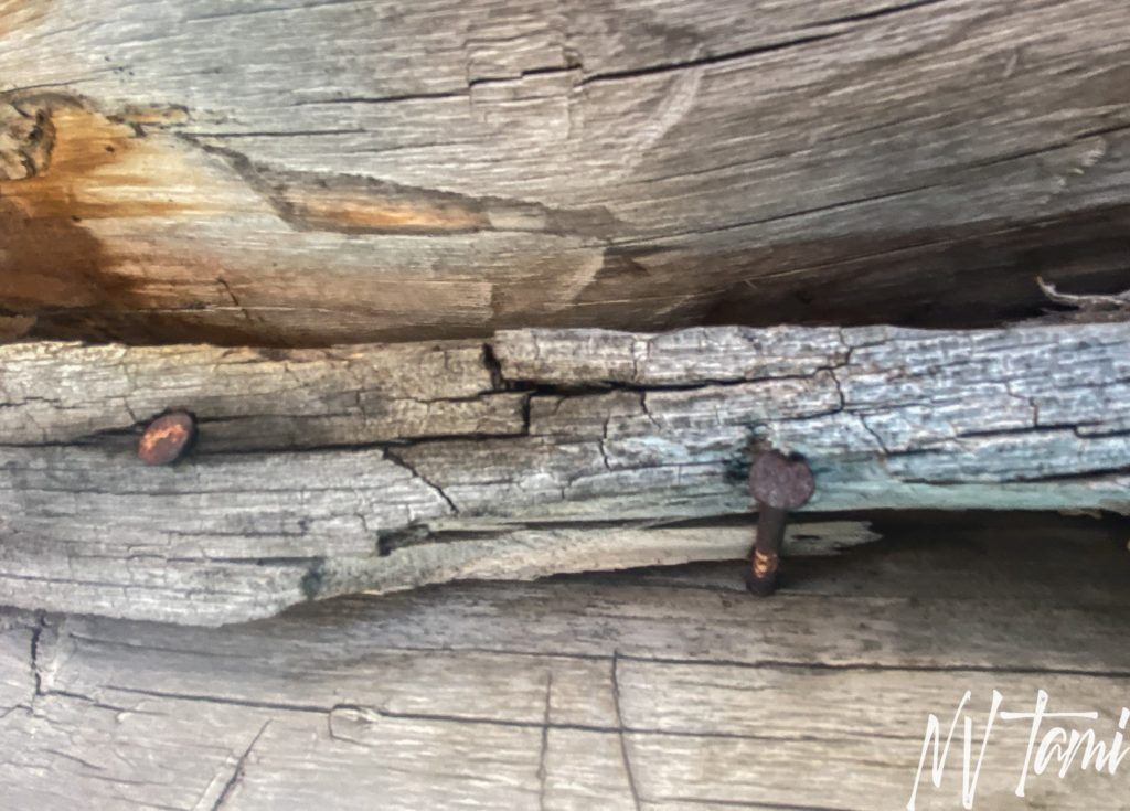
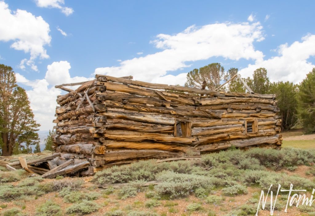
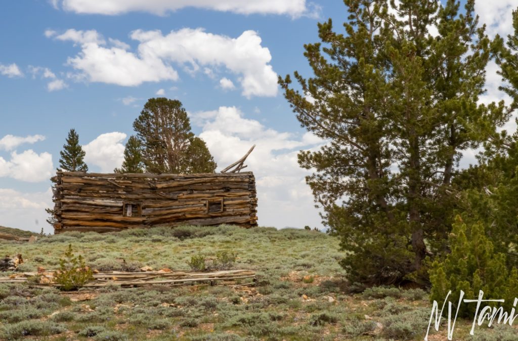
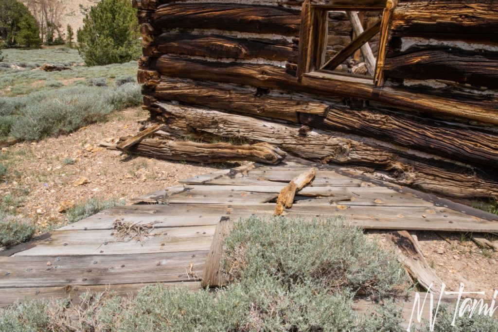
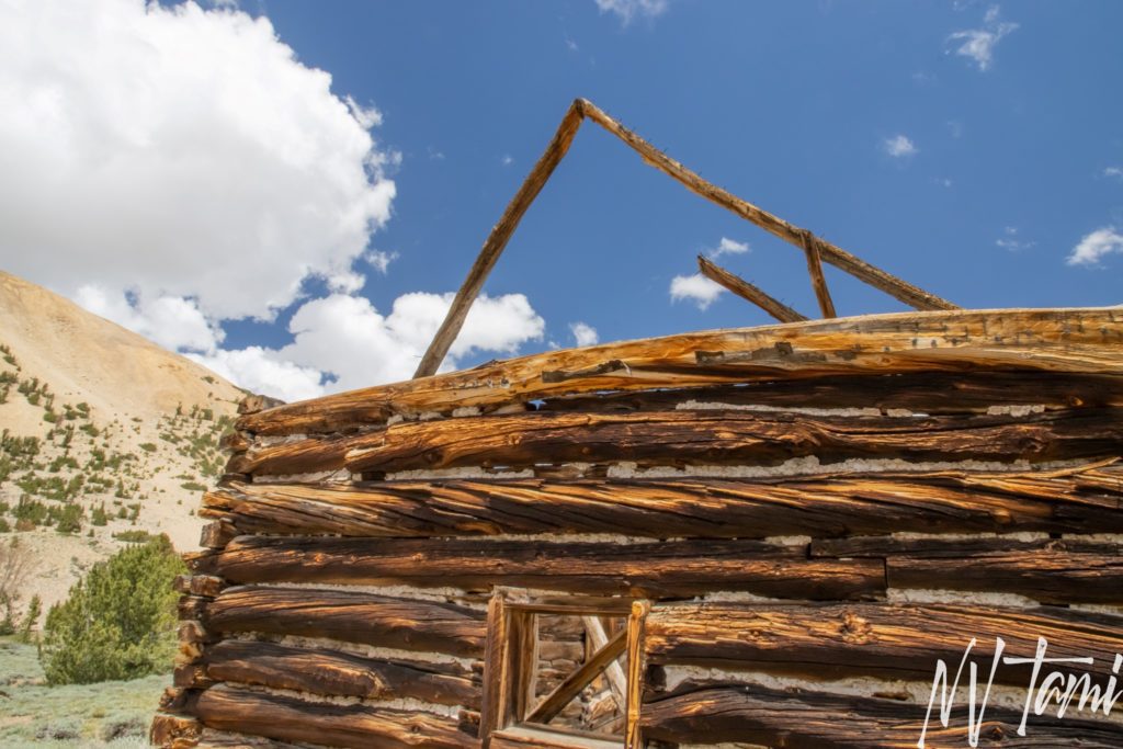
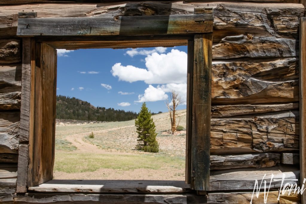
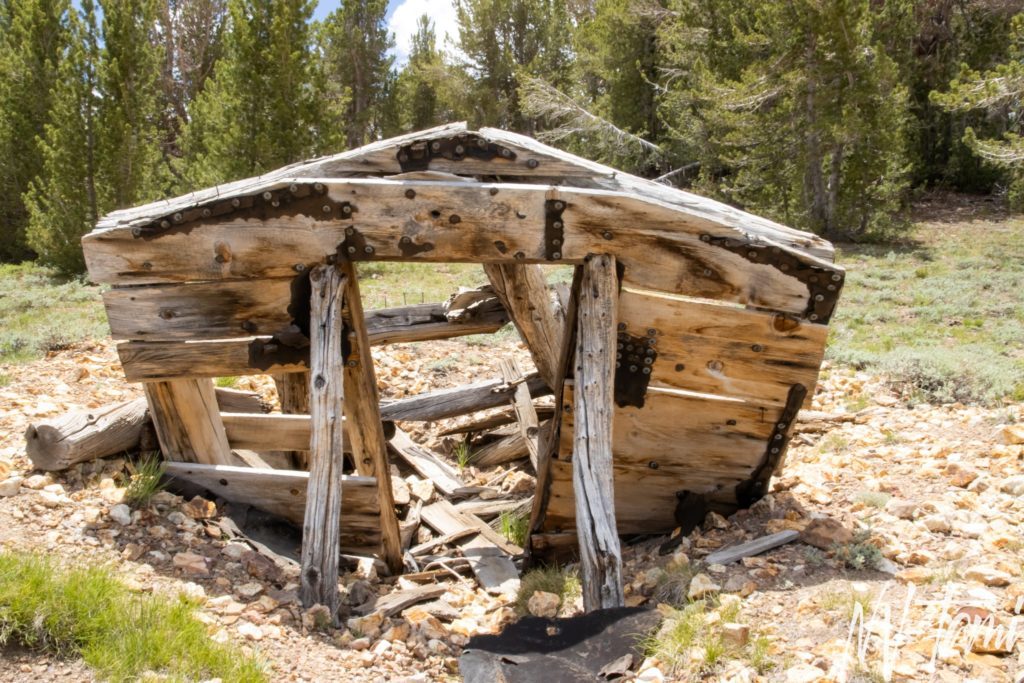
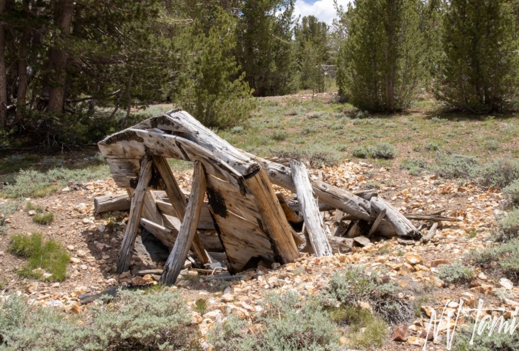
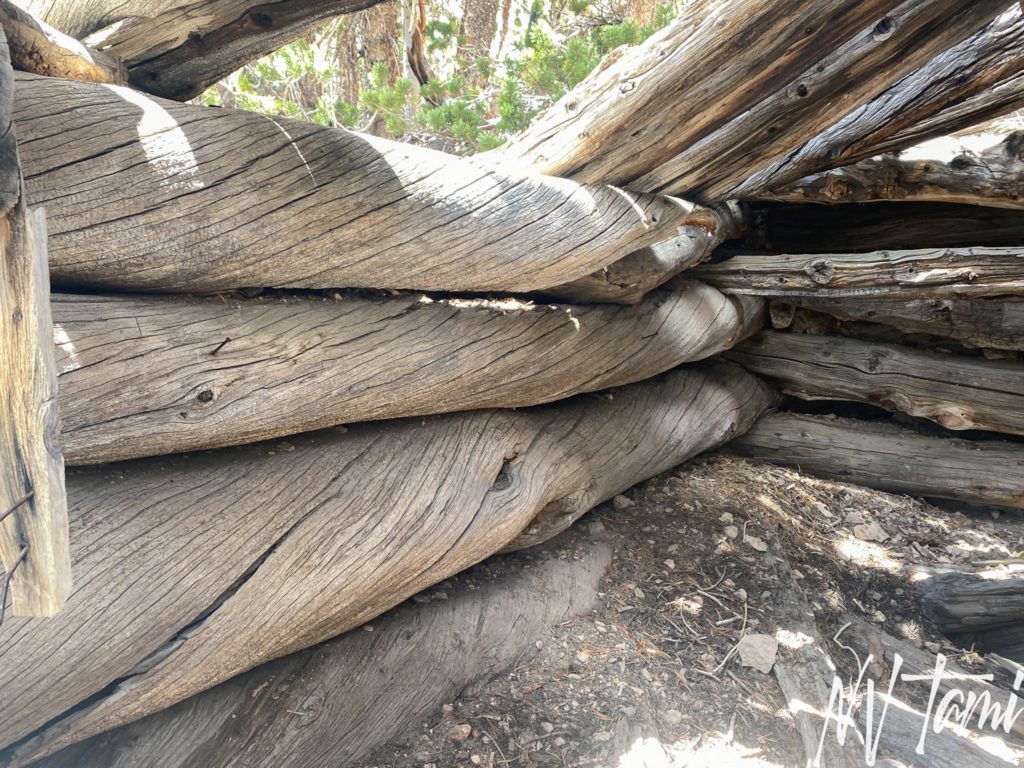
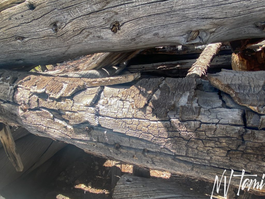
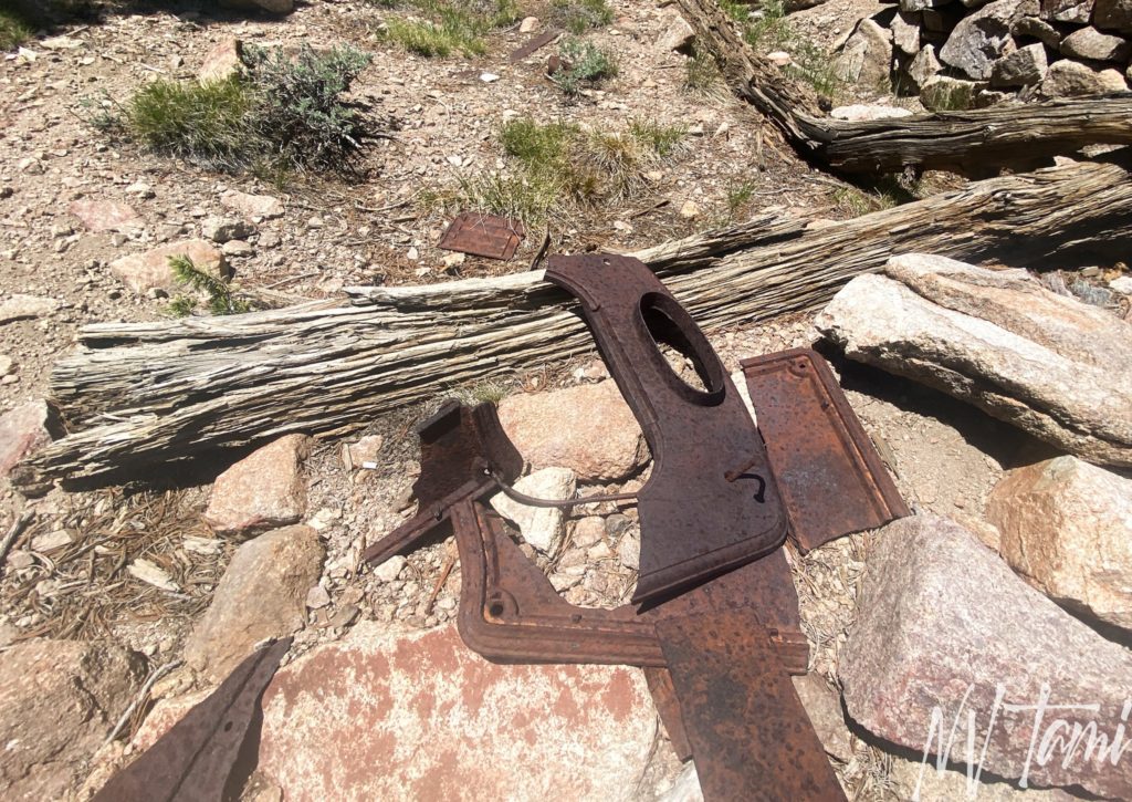
Boulder Flat, the location most refer to as Belfort, has the largest remains. One cabin is intact, a second large cabin has all four walls remaining and a third has a façade held in place by a beam. The structures have hand hewn logs and round head nails. Round head nails would place construction in the early 1900s but it is possible the structures are older and were remodeled during the second active mining period.
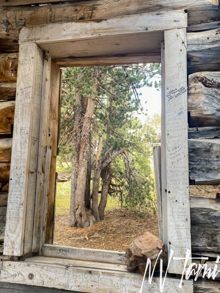
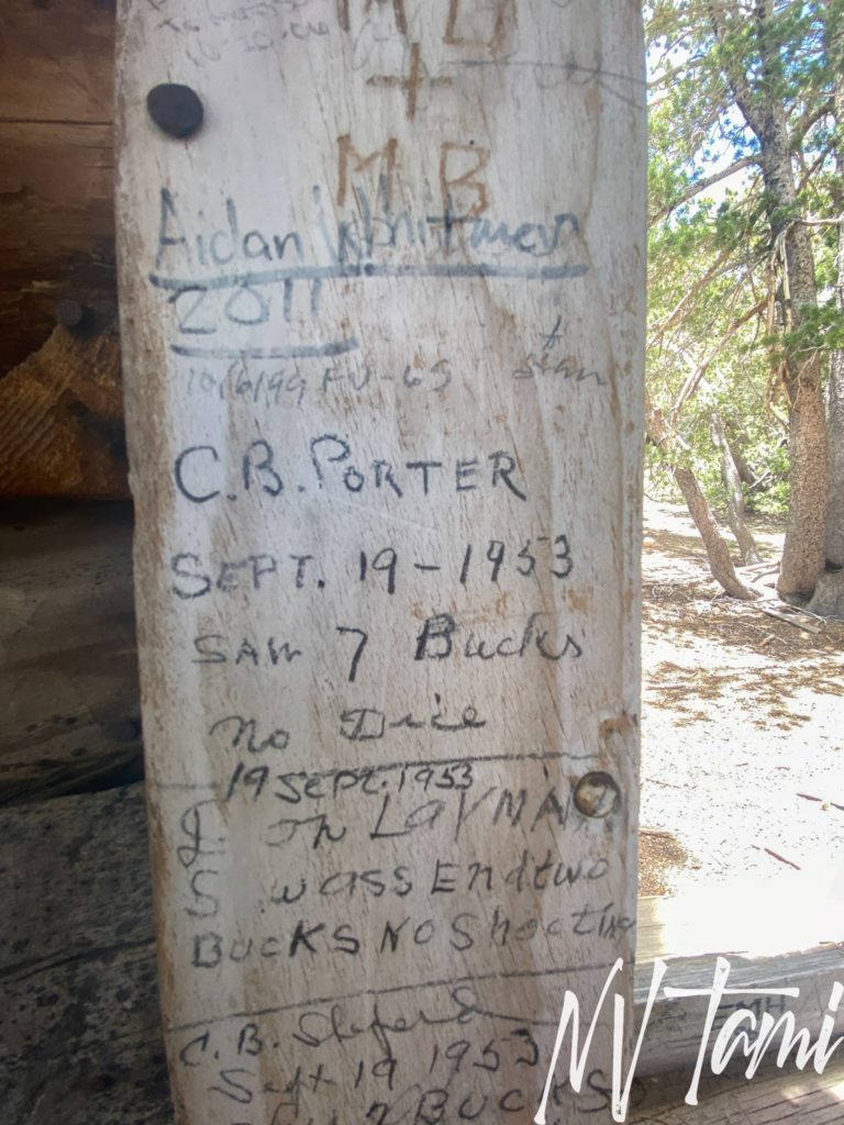
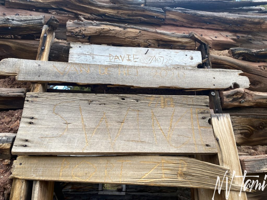
Visitors have been marking the window frame for many years.
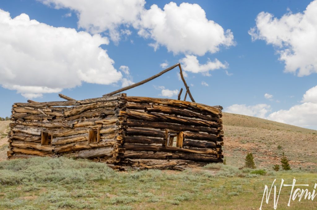
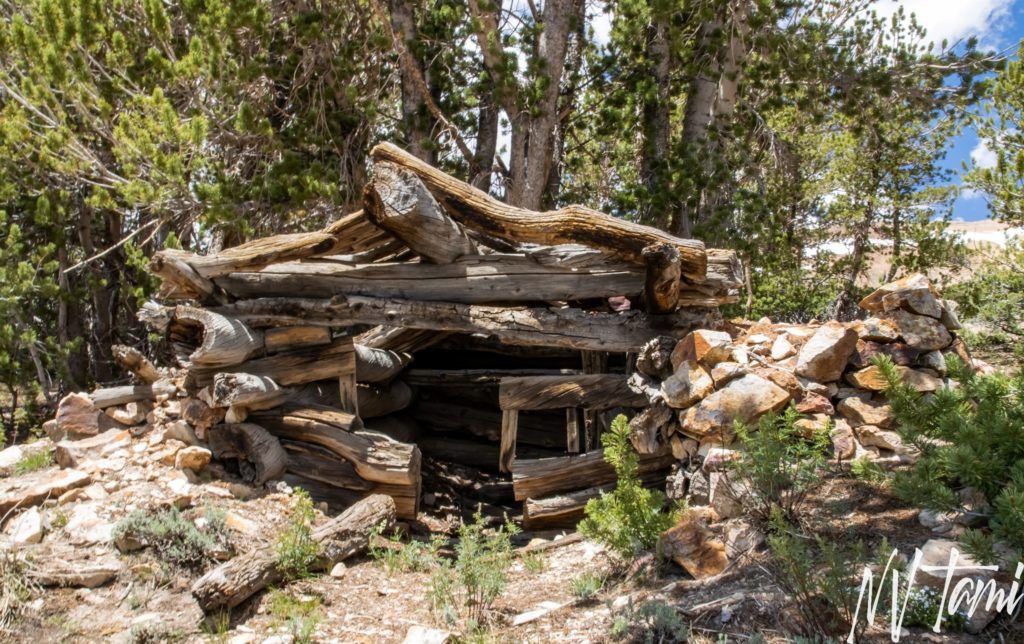
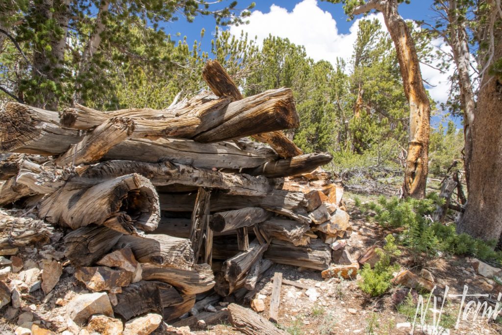
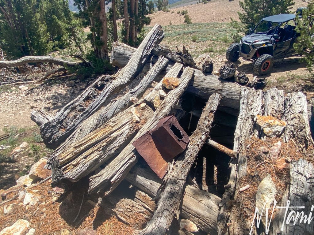
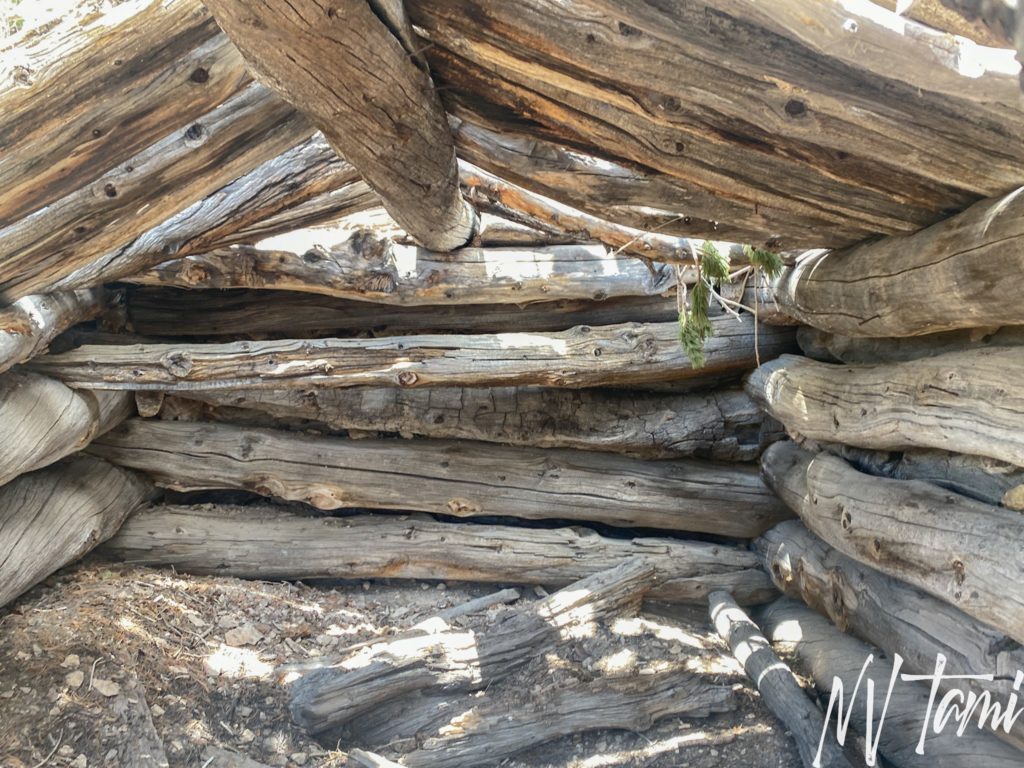
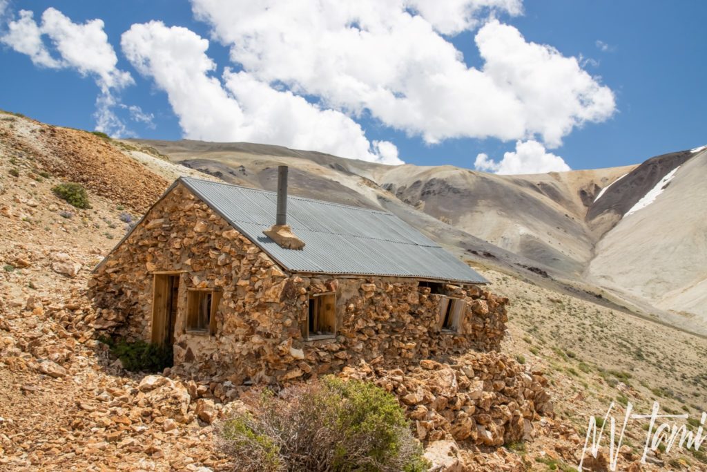
Just above Boulder Flat is a log cabin. In his book, well known author Roger Miller identified the cabin below as the town of Belfort. The logs are weathered but the cabin is in good condition.

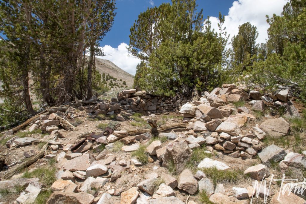
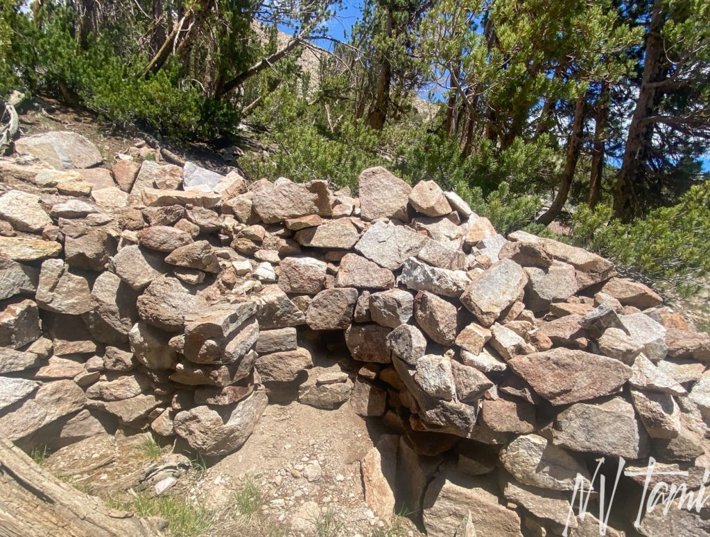
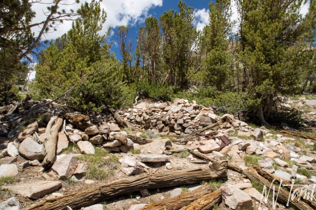
The foundation for another cabin sits along the road above the other cabins. A stacked rock foundation is built into the hill and you can see the remains of a fireplace.
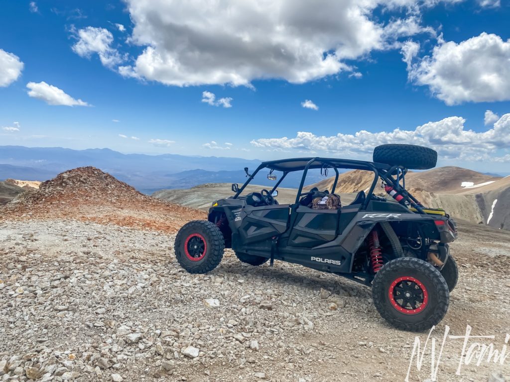
If you continue past the foundation, the road continues to the top of Mt. Patterson and what many refer to as Stone Cabin, the Montague mine. My friend Gregg took me up Mt. Patterson in his turbo RZR. I love Honey Badger but a RZR is a lot of fun!
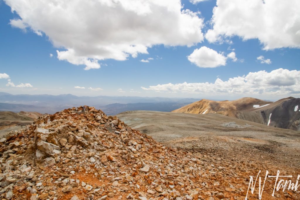
Many call the top of Mt. Patterson “Mars”…
Visited 6-25-2021
References
- Dangerous Roads: A mining road to Mt. Patterson California
- David Rumsey Map Collection: 1909 USGS Bridgeport, California
- The Diggins: Montague Gold Mine
- The Diggings: Patterson Mining District
- Durham, David L. California’s Geographic Names: A Gazetteer of Historic and Modern Names of the State. Word Dancer Press, 1998. Page 1146.
- Fourwheeler: Ghostly travels in the Sweetwater Range
- Gamett, James and Stan Paher. Nevada Post Offices: An Illustrated History. Nevada Publications, 1863. Page 124.
- Ghosttowns.com: Belfort
- Ghosttowns.com: Boulder Flats
- Gudde, Erwin G. California Gold Camps: A geographical dictionary of camps, towns, and localities where gold was found and Mined: Wayside Stations and Trading Centers. University of California Press, 1975. Pages 31, 44, 57, 75, 334.
- Huegel, Tony. Sierra Nevada Byways: 51 of the Sierra Nevada’s Best Backcountry Drives. Wilderness Press, 2008. Pages 114-115.
- Mitchell, Roger. Inyo-Mono SUV Trails. Track and Trail Publications, 2003. Pages 24-28.
- Paher, Stanley. Nevada Ghost Towns and Mining Camps. Nevada Publications, 1970. Page 87.
- Paher, Stanley. Nevada Ghost Towns and Desert Atlas. Nevada Publications, 2009. Page 204-205.
- Salley, H.E. History of California Post Offices 1849-1976. Heartland Printing and Publishing Company. 1977
- USGS: Belfort, California
- Western Mining History: Patterson District
- Western Mining History: Thoroughbrace Mine
- Wikipedia: Belfort, California
- Wikipedia: Sweetwater Mountains
Hank H. says
I’m 97. My grandfather was the post master in Star City.
Tami says
Wow! I would love to add any information you have, even if it is a small detail like names and dates.
I am working on my third book “Beyond Bodie,” about the sites around the famous ghost town. It will be more detail than the first book, In the Shadow of the Sierra, which also includes Star City.
Gordon Green says
Tami, In 1972, a friend and I took my new Scout on a road trip and went up the back side of Mount Wheeler to explore the mines we had seen on topo maps. We came across Belfort and Boulder flat. The large Belfort building, had been a store at one time. When we were there, the building was empty, but the windows, roof and doors were still in place. There were several small miners cabins near by.
We went up to Boulder Flat and found a mine shaft into the mountain. Naturally, we went in the mine. About 100 yards into the mine, we came across an old box of dynamite sticks that had really deteriorated. We knew enough to know that that could be really explosive so got out of there quickly. When you looked to the canyon to the north, you could see the remains of the equipment that was used to haul the ore out of the mountains. It was really steep and we didn’t attempt to go down there. When we got back to Bridgeport, we found the Sheriffs office and reported the finding of the Dynamite. Hopefully they were able to take care of it.
On our way down the mountain, we went to Monte Cristo. At some point the road was fenced off, so naturally that didn’t stop us. We walked in and it was an amazing place, There were several cabins still in good shape, A small mine car was laying on its side and there was what appeared to be the remains of a 2 stamp mill. The mine overlooked a wonderful little valley with a stream, I think may have been Frying Pan Creek,running thru it with brook trout and a beaver dam. Someone still owned the claim and I could see why. It was beautiful.
We left and made our way down to Bridgeport and stopped at the museum to try to find out more about the area. There was an old guy working the museum and he told us a story about the Belfort mining area. He said that right after WWII he was in a bar in Tonopah, NV and met an old guy who had worked the silver mines in the Belfort area in the late 1800s. The man from Bridgeport had never heard about it and a few years later while deer hunting on the back side of Mt. Wheeler, he came across Belfort, Now this was the late 1940s and the abandoned Belfort store was still full of product. He couldn’t believe it, went down to Bridgeport and spent the rest or the winter building a 20′ trailer to go back and empty the store. The next summer, he hauled the trailer up to Belfort with a D8 Cat and emptied the store out, hauled it down to town and politely told us “This is what started the Bridgeport museum. Most everything you’re looking at here in the Museum came from the Belfort Store.” It was amazing and I have no reason not to believe him.
Two years later I took another road trip to Belfort and it was really disappointing. A year after I was up there, an article came out in Desert Magazine about the mining towns of Belfort and Boulder Flat. All the windows had been broken out and the ground around the building had been dug up by people with metal detectors.
Really a shame. I recently looked at a YouTube video by TrailRecon about his trip to the area in 2025. The road to Monte Cristo is still gated with Private Property – No Trespassing signs and he respected it and didn’t go in. Someone still maintains it and I bet it is still a wonderful valley.
Well, thanks for your adventures and letting me recall my trips 53 years ago.
Tami says
Wow, that sounds like an amazing trip! I’m jealous of all you saw. Thanks for the information on Belfort/Boulder Flat.
I tried Monte Cristo and found the fence. Later, I learned it is USFS property, not private. I spoke with a former USFS, and he was surprised it was fenced; it hasn’t been worked on recently. I’m going to check into access.
Gordon Green says
If you go into Monte Cristo, I would love to hear your thoughts and photos of the area.
Thanks,
Gordon
Tami says
I would love to, access is the issue. I found it was marked private property. I later learned it is USFS, not private.