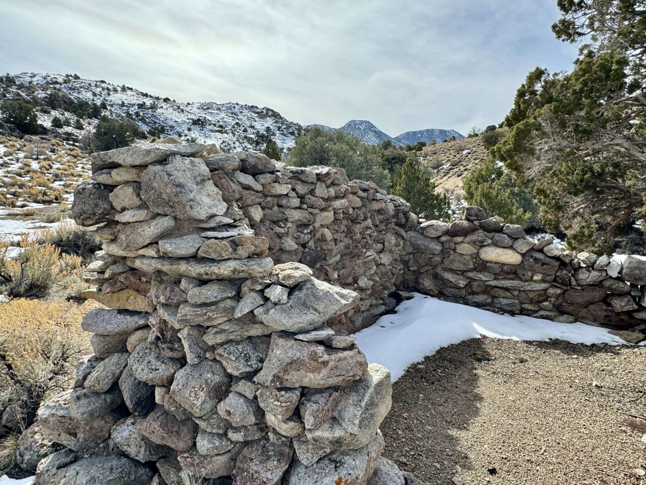
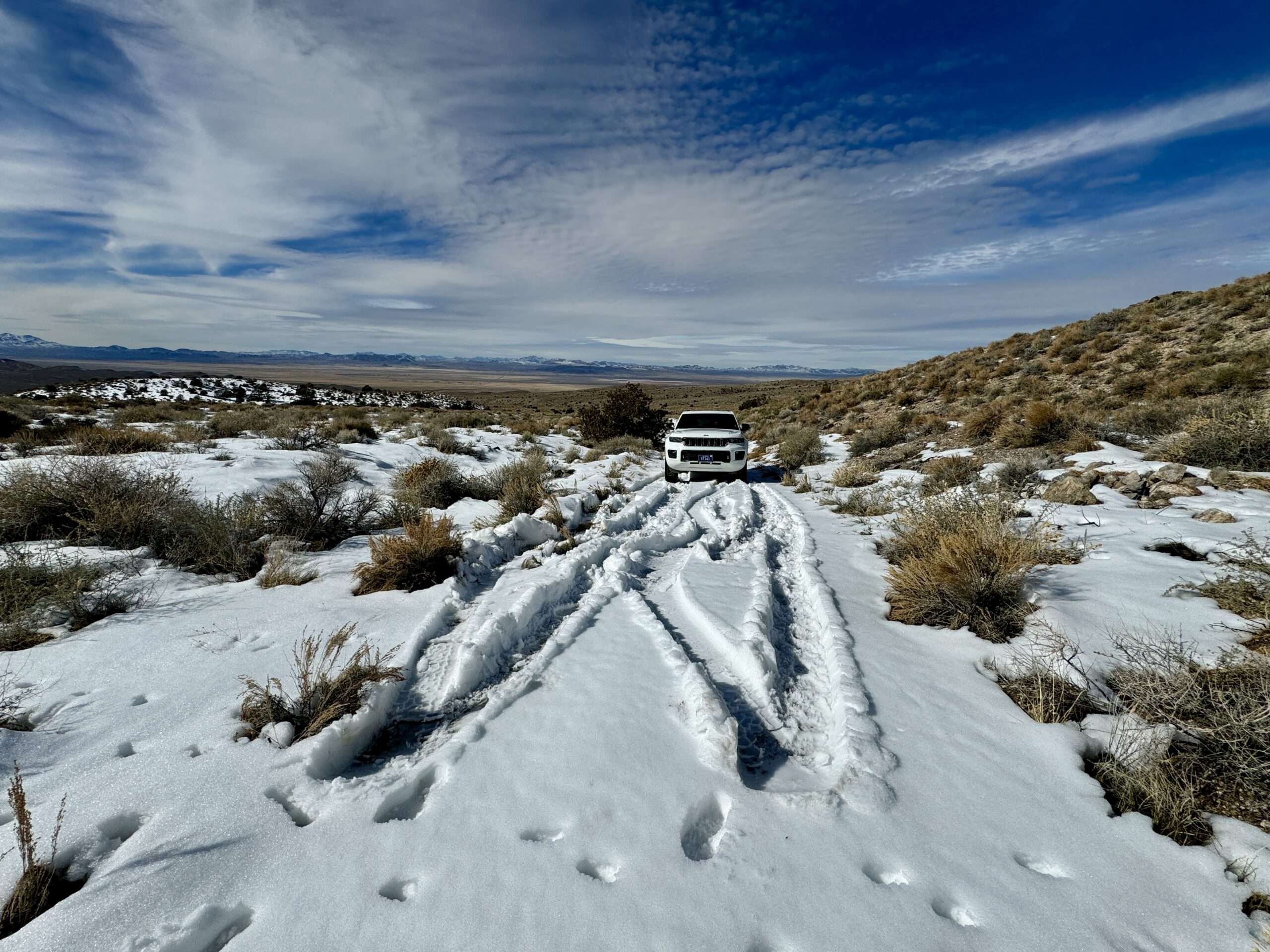
On the long President’s Day weekend, Nevada Expeditions accompanied me to visit my son in Mesquite. As always, we had a great time and stopped along the way, visiting ghost towns and historic sites. Snow and mud hampered our efforts, but we explored great sites, including ghost towns in Nye, Lincoln, and Clark Counties.
My son makes me look short! He doesn’t so social media, something a mom can’t complain about.
Tami’s Travels: More information to come on each site
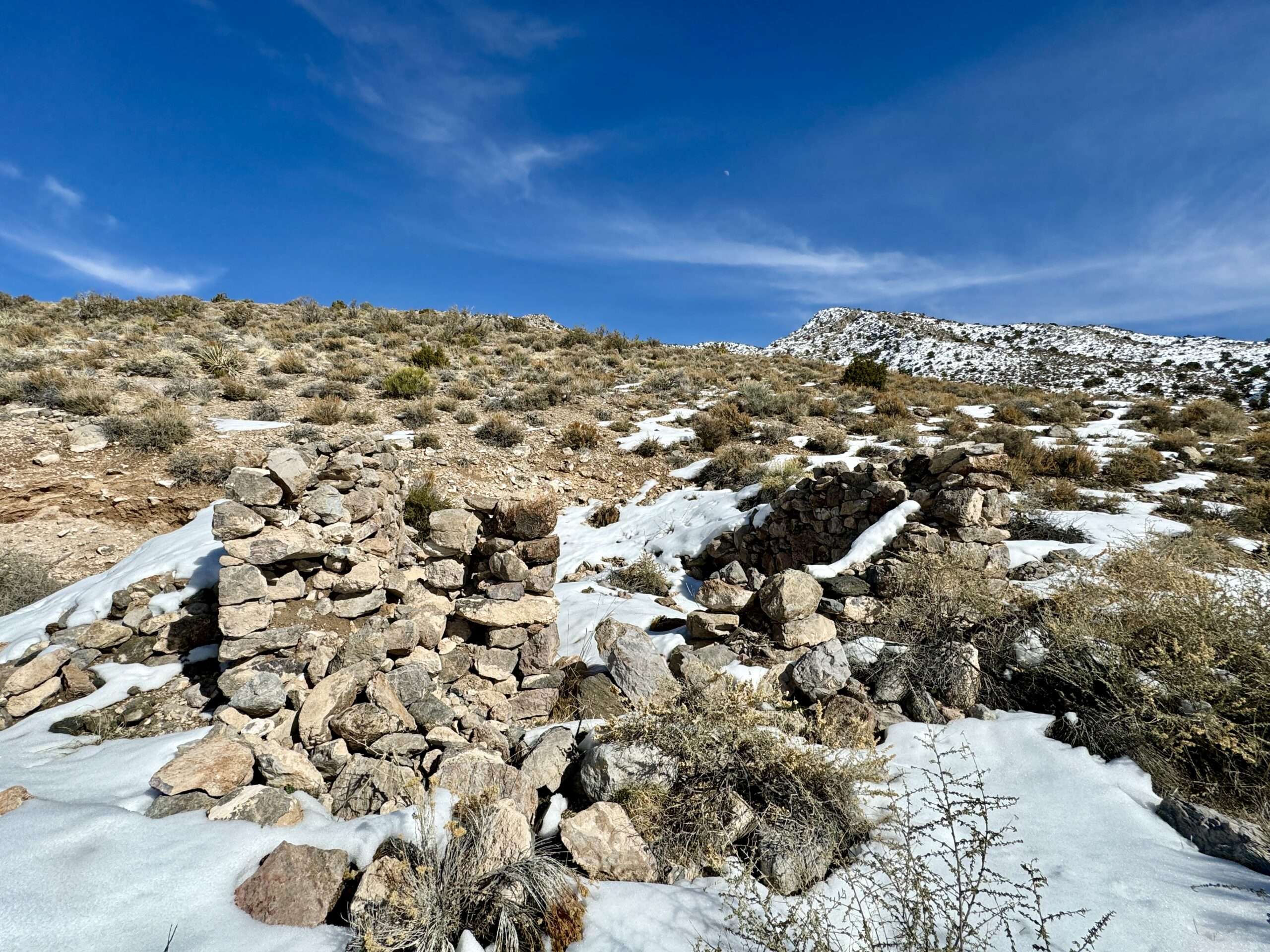
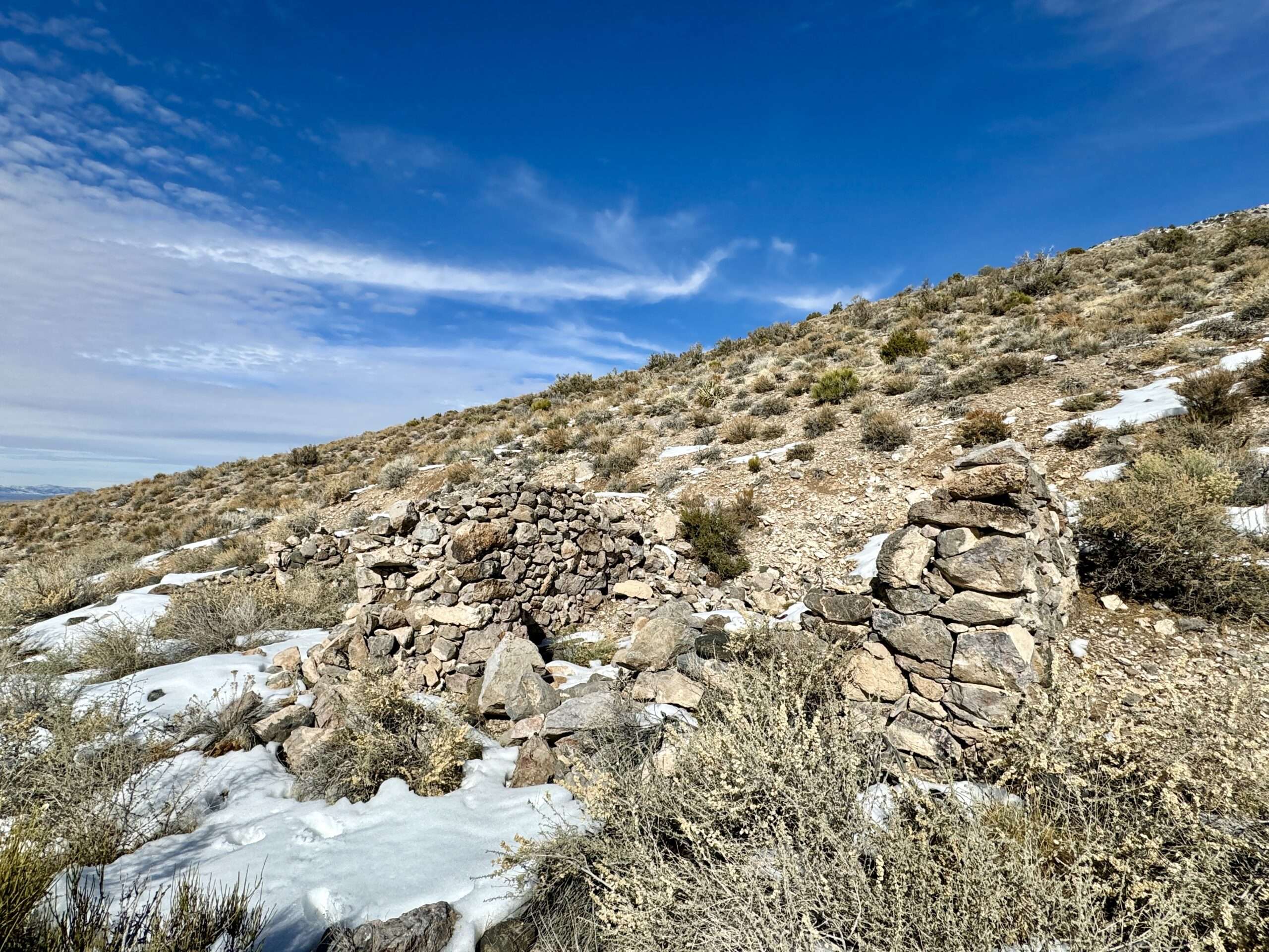
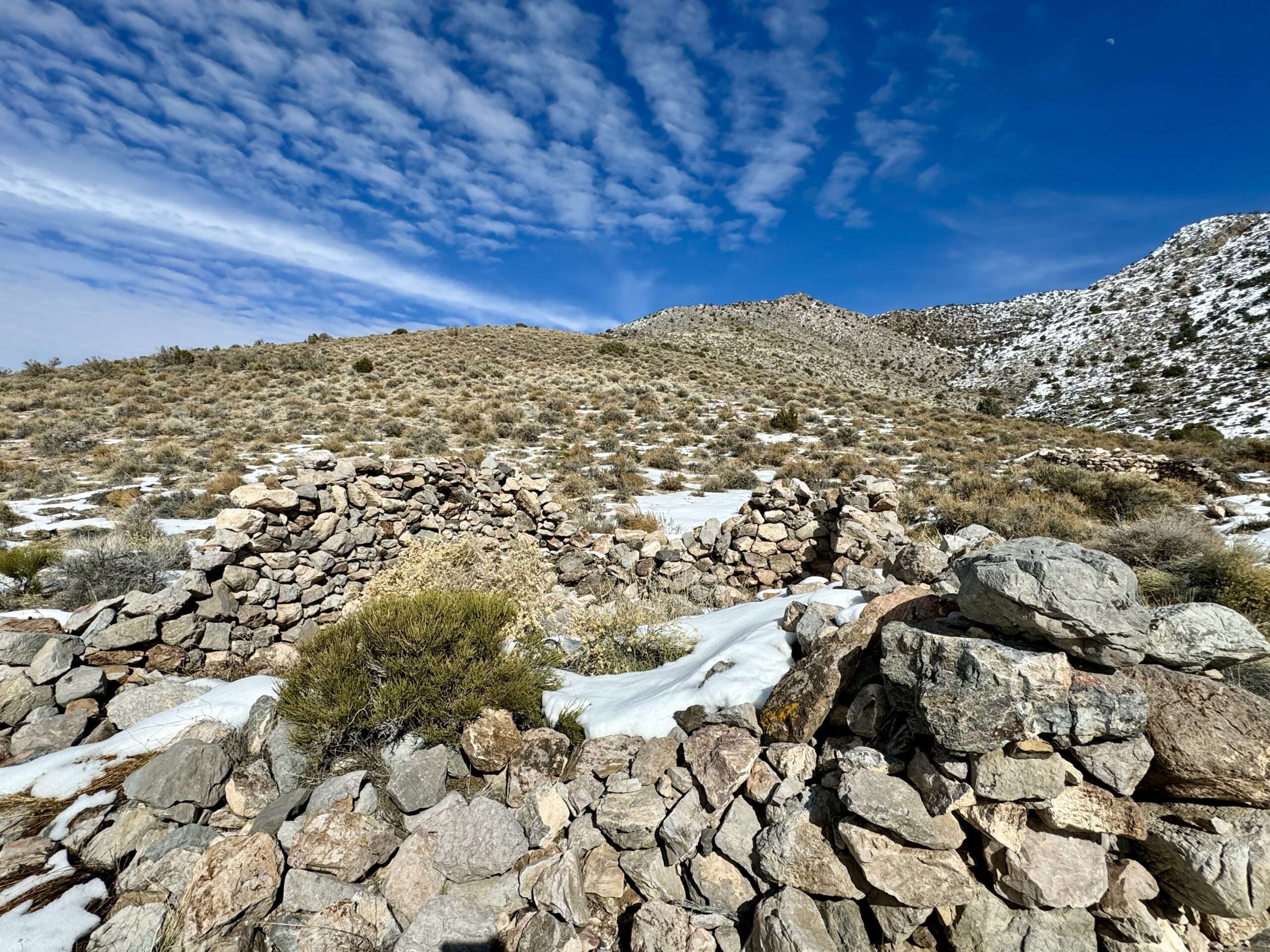
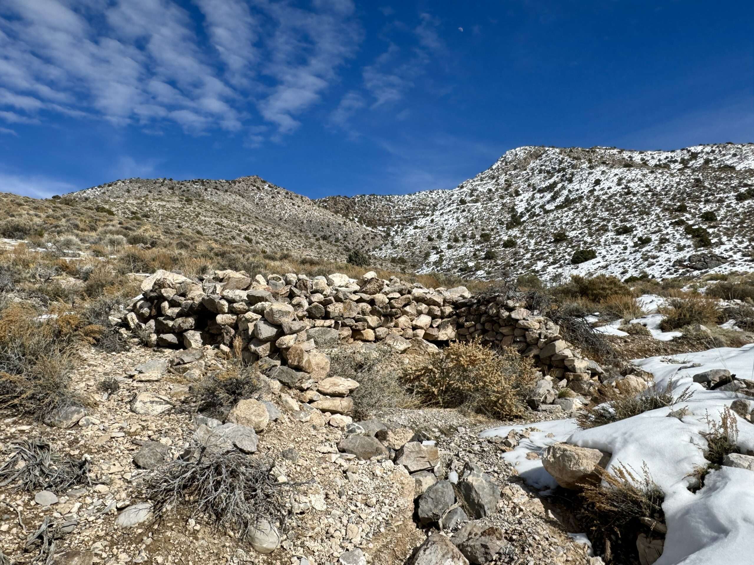
Bellehelen
Prospectors working in the Silverbow Mining District discovered ore in 1904. The town of Henry was plotted in 1906, but the name was changed to Bellehelen in honor of the Bellehelen Mining Company.
Bellehelen grew and was awarded a post office on November 27, 1907, including a store, newspaper and 20-stamp mill. Between 1909 and 1910, miners extracted $500,000 of gold and silver. Mining declined and only a few remained into 1911. Belleheled experienced a revival in 1917. By 1923, the town had a 50-ton cyanide mill, which only operated sporadically until 1927.

Due to deteriorating road conditions, we didn’t go farther than the town site. We will explore more on future trips.
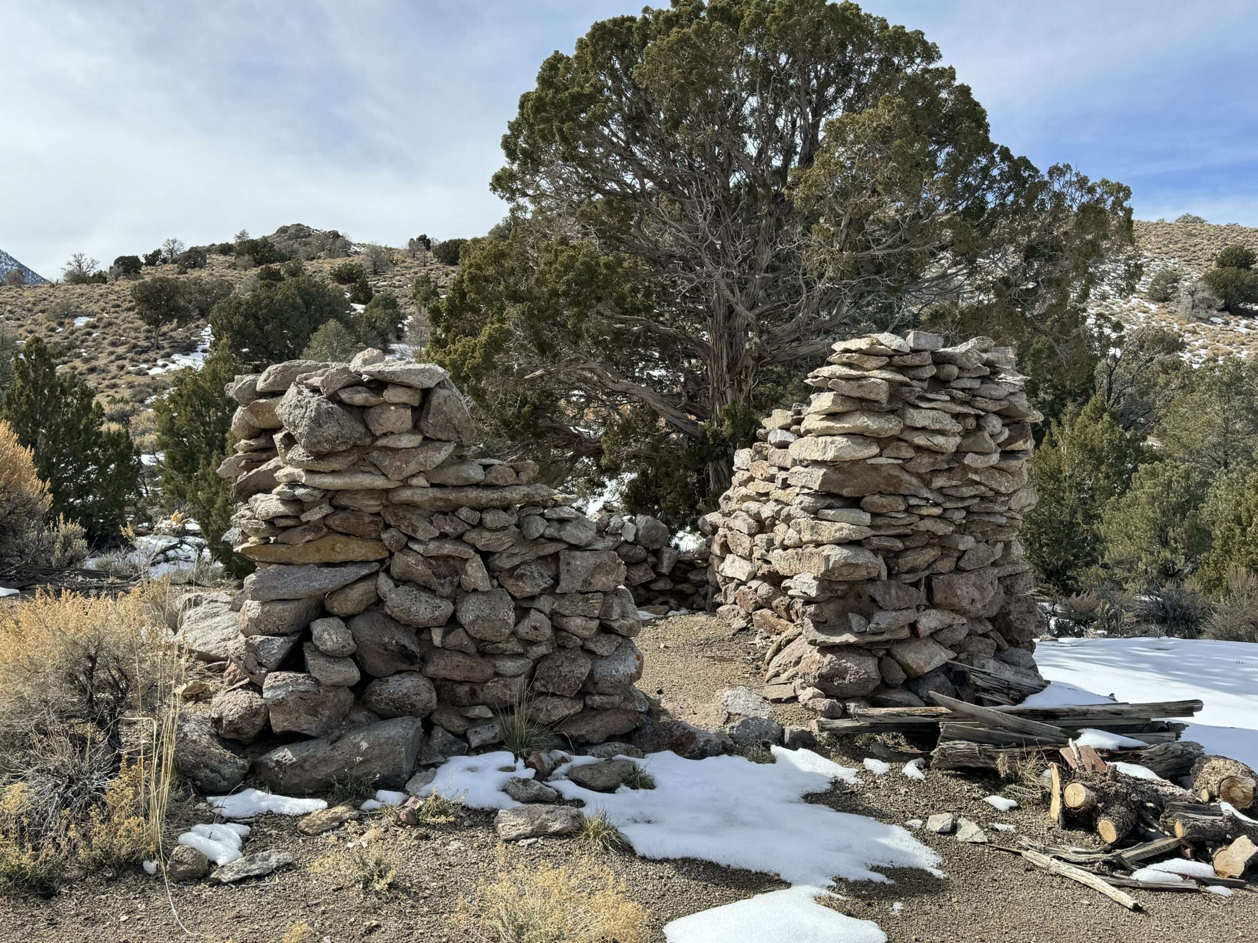
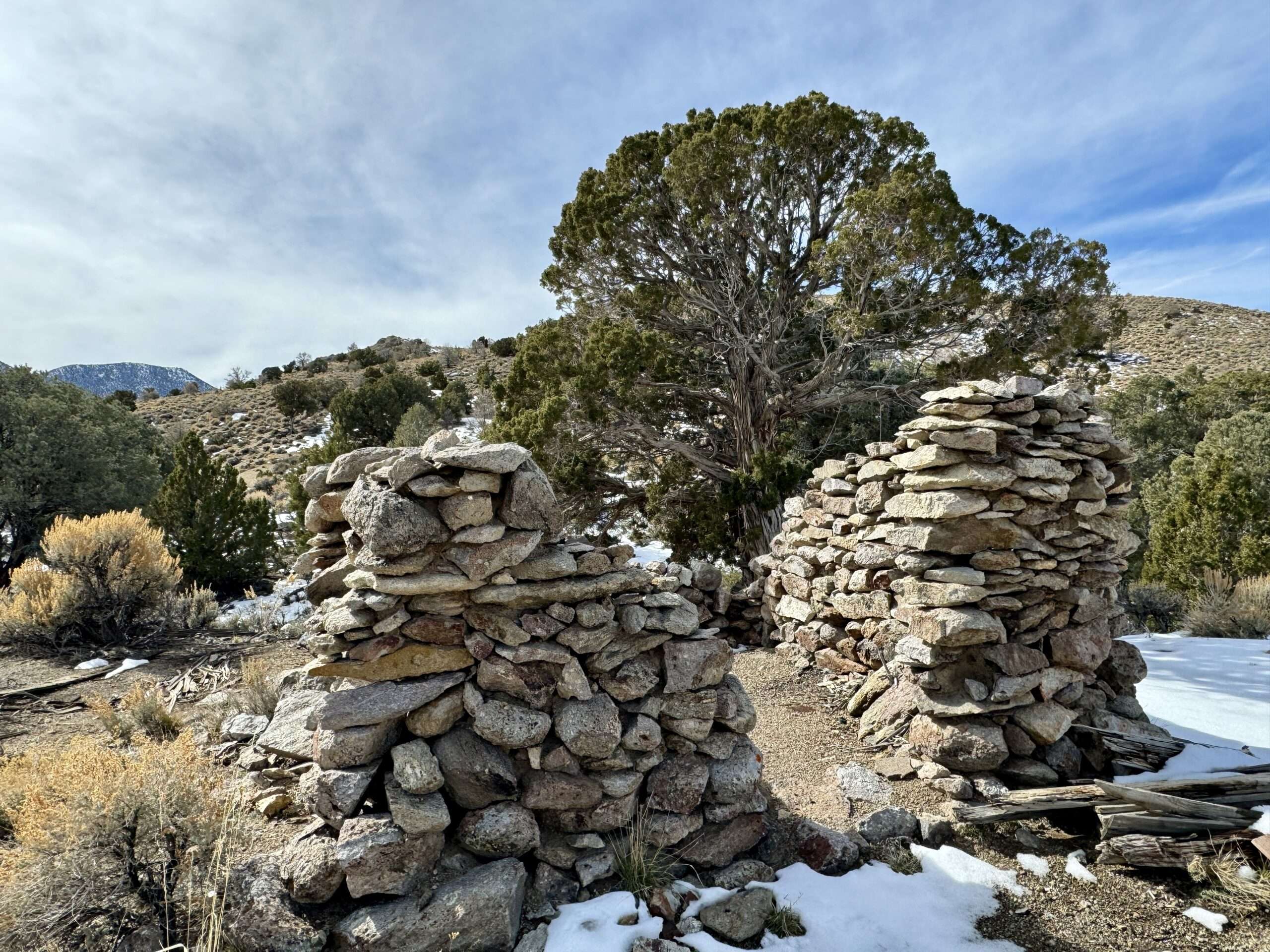
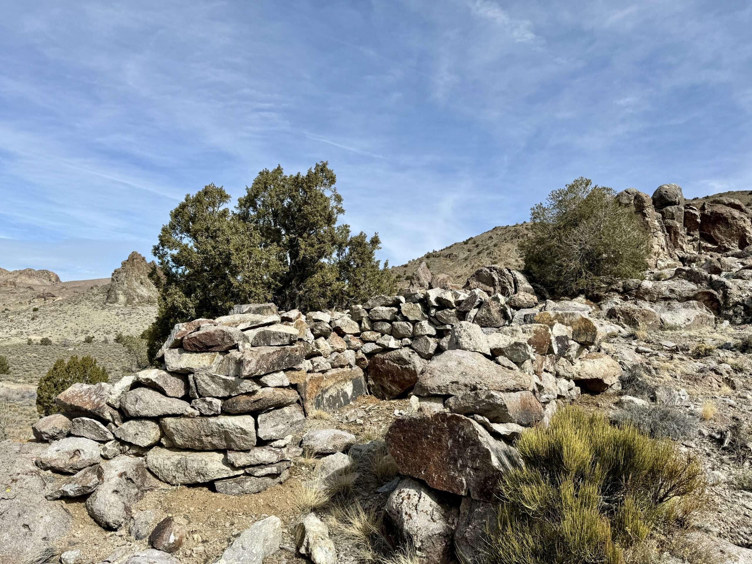
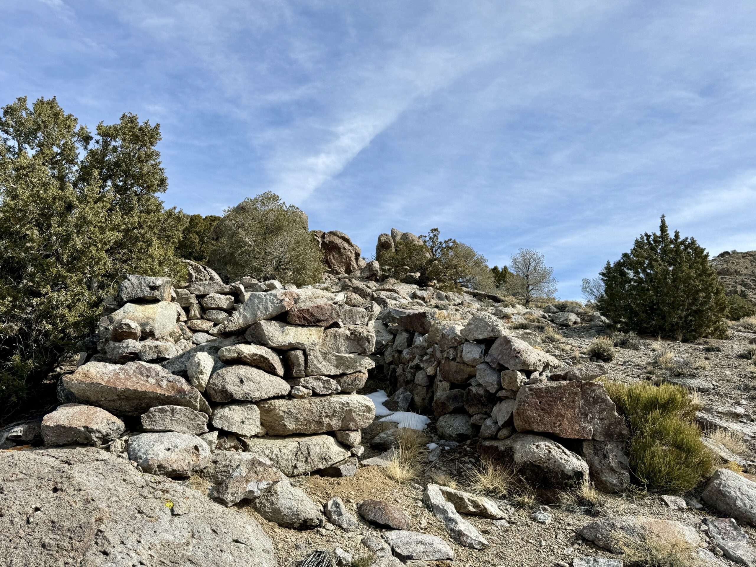
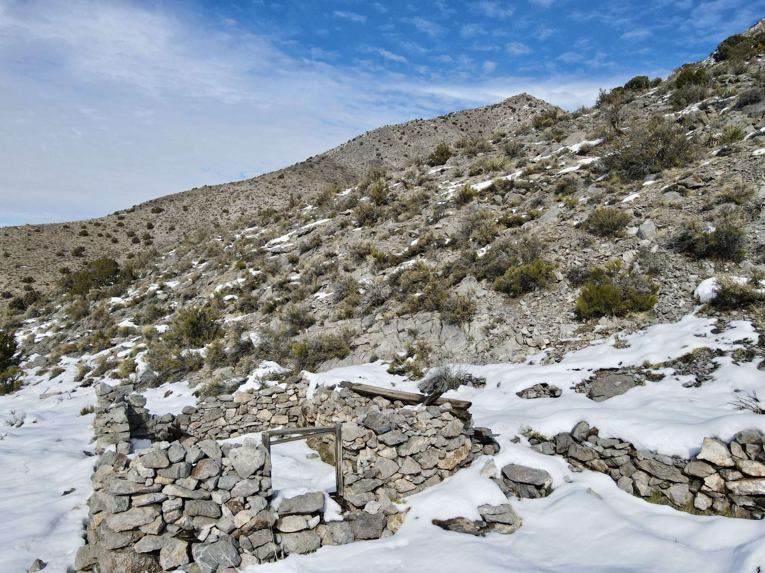
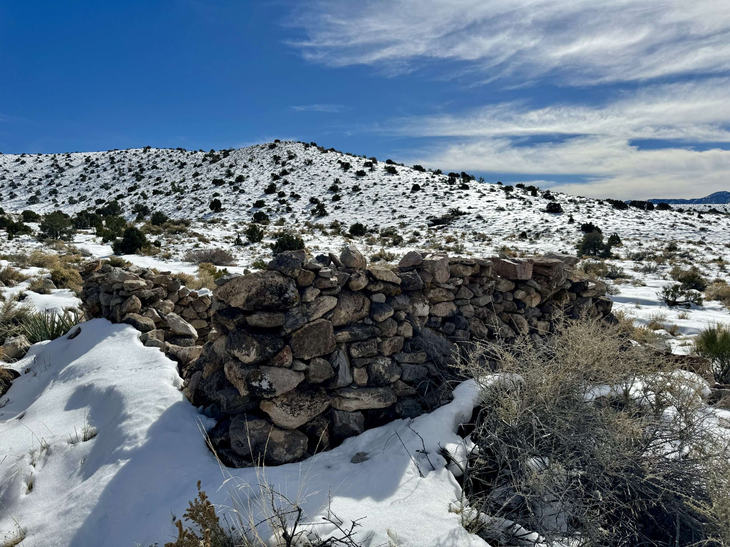
Tem Piute

We reached Tem Piute, more than we can say for the other vehicle that attempted to visit the ghost town since the snowfall. Momma Badger made it about 50 feet more before we were slipping and sliding on the mushy, snow-covered mud.
The ghost town is named after the Paiute, meaning “rock water people,” is spelled multiple ways: Tem-Pah-Ute, Tempahute, or Tempiute. Prospectors discovered silver in 1865 and 1868. Fifty miners called Tem Piute home in 1870. Tem Piute is the spelling for the post office, which opened in 1879. Mines shipped ore to Hamilton. Lack of water hampered mining. Most mining ceased in 1871 when the stamp mill at Crescent City ceased operations. Small amounts of ore were shipped to Tybo for processing until 1877.
From 1916 through 1957, Tem Piute experienced several revivals related to tungsten mining. During this period, the town had a school, post office, and 700 residents.

Mt. Irish

After our last visit to Logan City, Nevada Expeditions learned of an arrastra we missed. We tried to explore that area but turned around after finding fresh Mountain Lion Tracks.
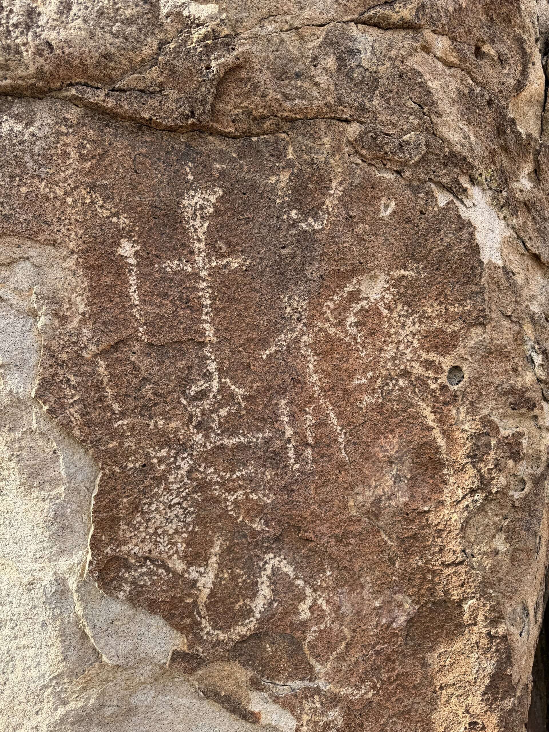
Mt. Irish petroglyphs are some of the best, if not the best, in Nevada. I usually don’t name petroglyph sites, but the BLM has a huge sign, book, and interpretive trails, and the county has directions. The petroglyphs cover over 600 acres and date to A.D. 1-1500.

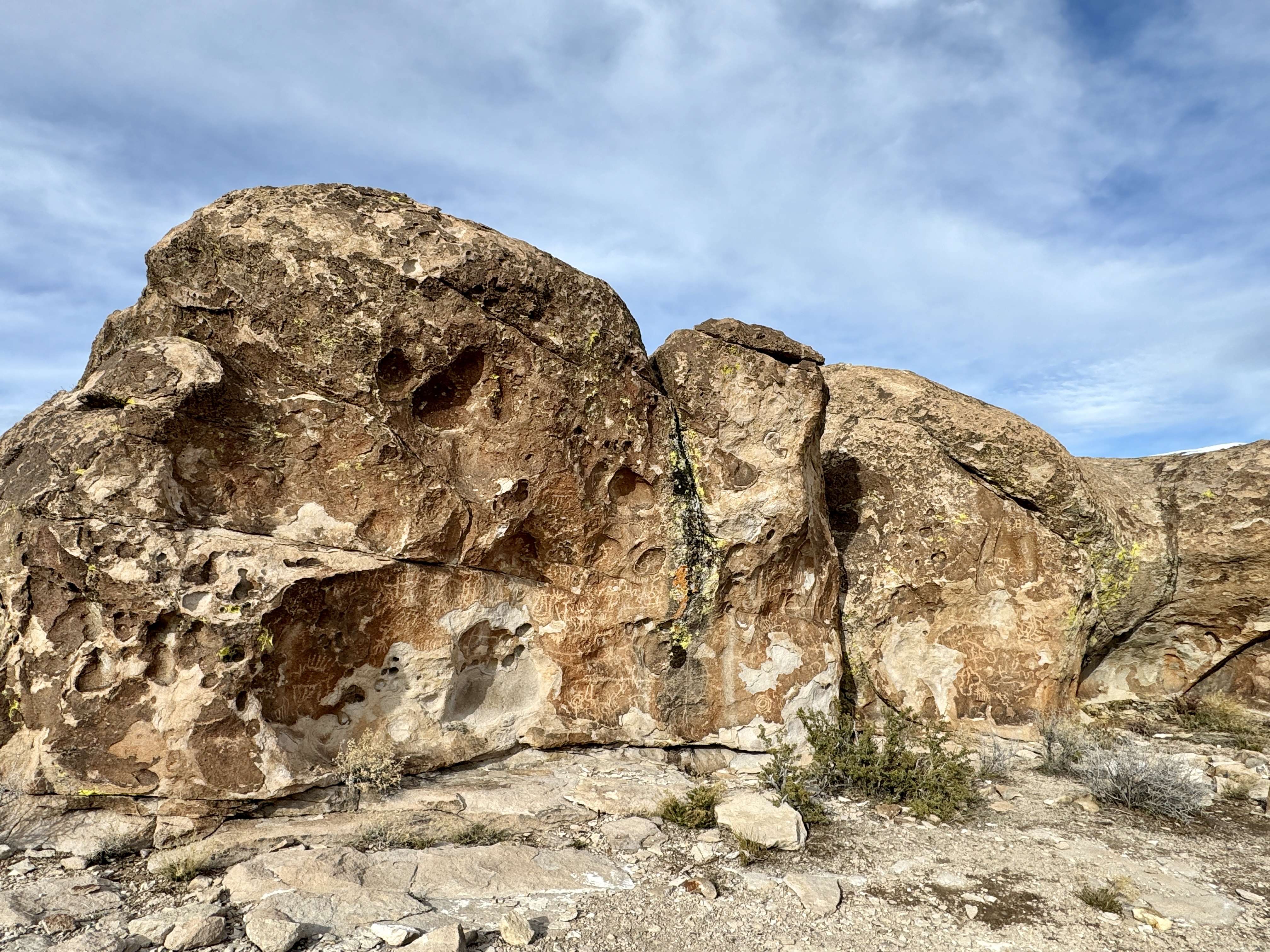
The road started getting slippery with snow over mud. Logan City would be worse, and the arrastra would be covered in snow, so we turned around. The light was better on some petroglyphs than on our last visit, so we grabbed a few photos before heading to a lower elevation.
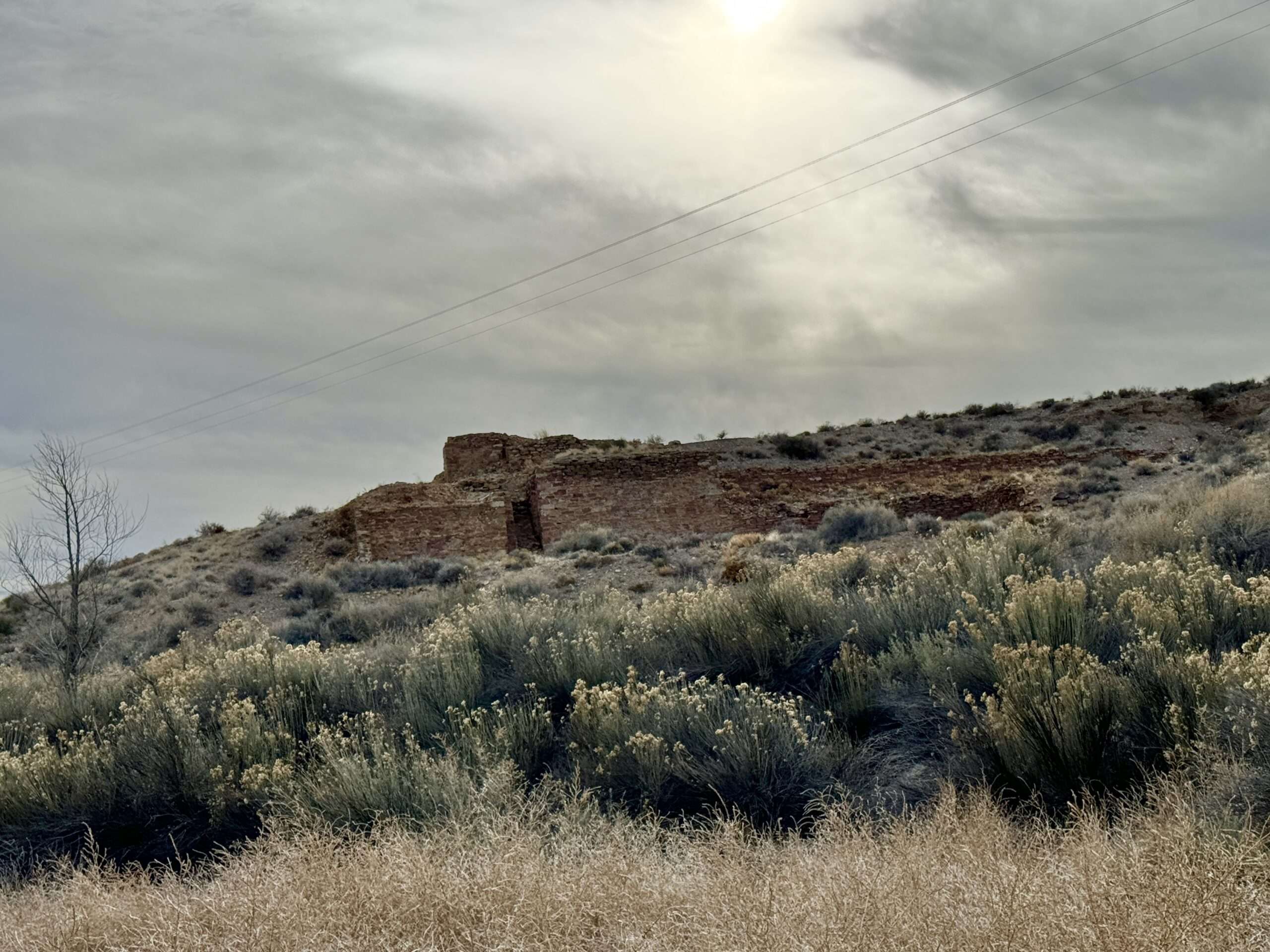
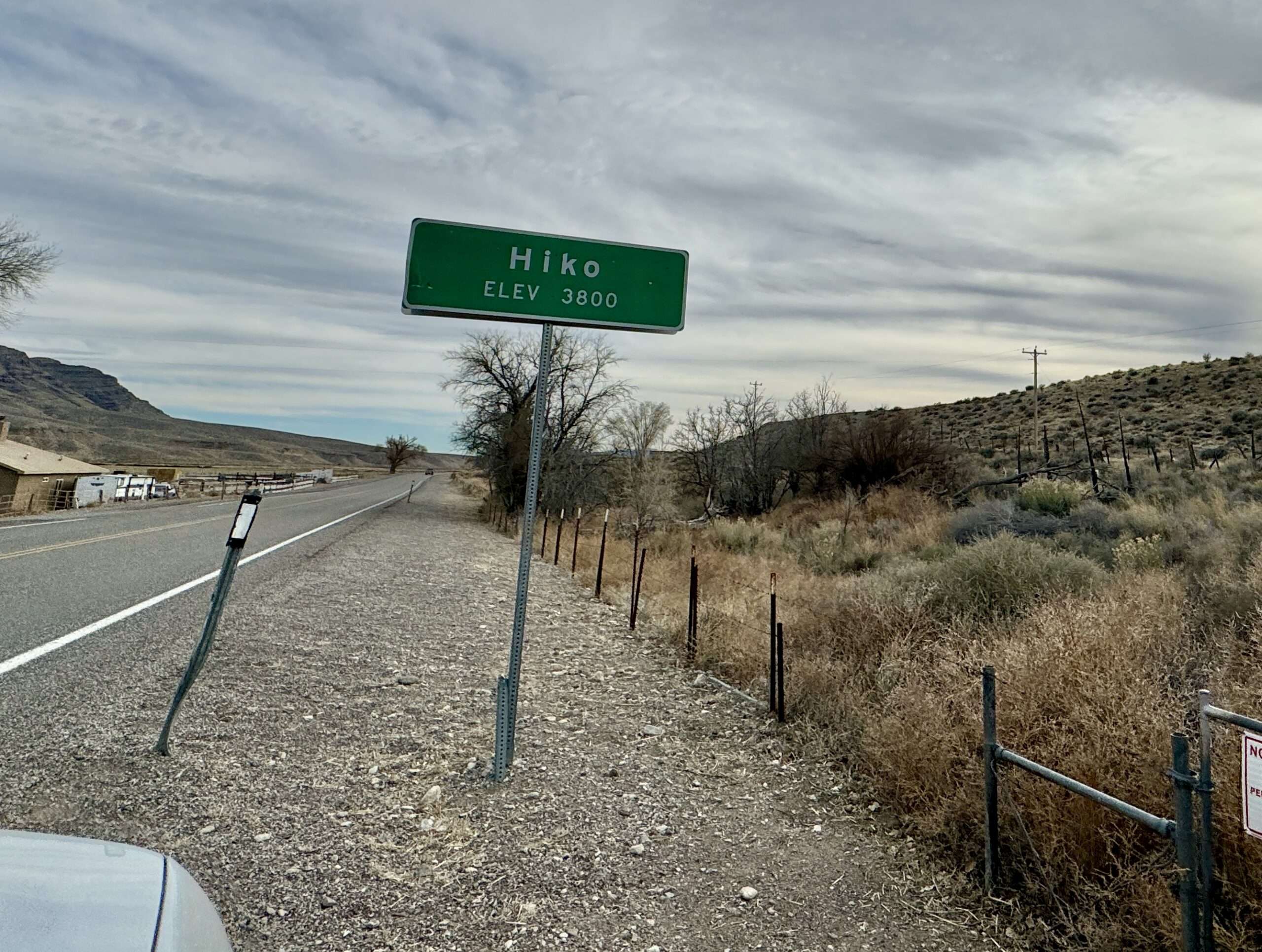
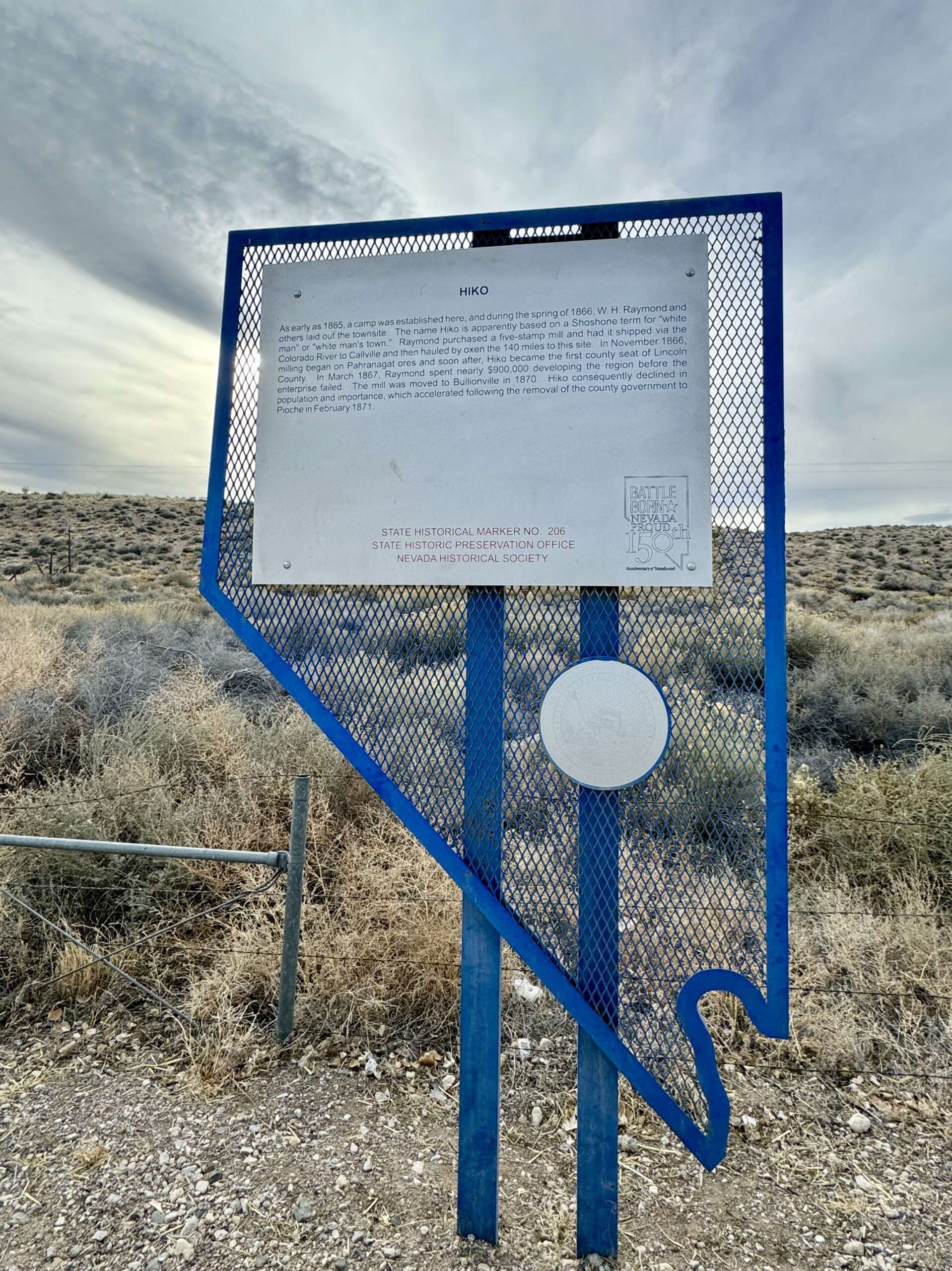
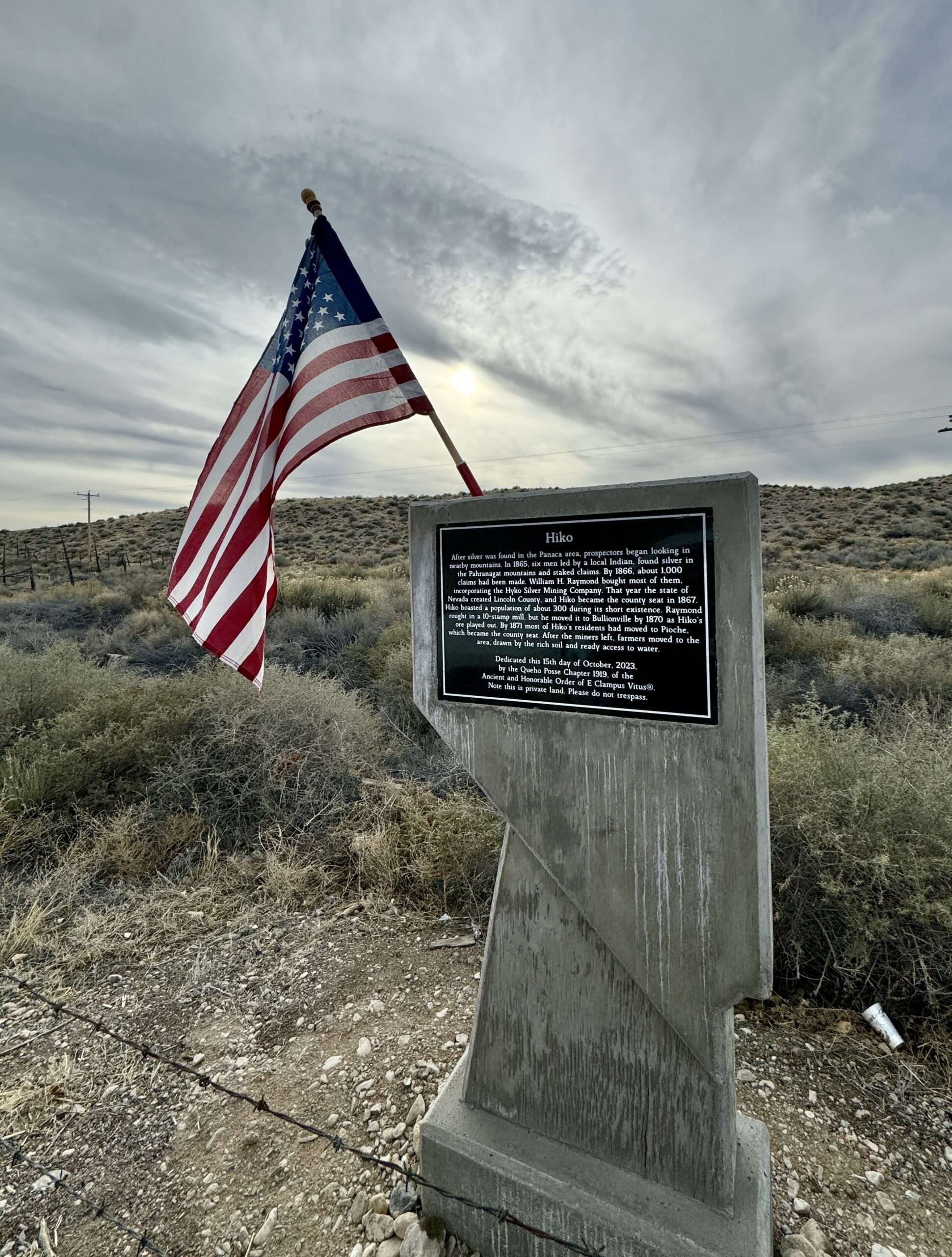
Hiko
(Photo credit: Wikipedia)
I have driven past Hiko but never stopped, as photographing the site is difficult. The former town is on private property on either side of the highway.
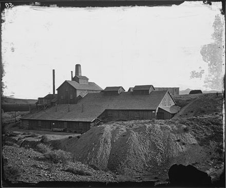
Hiko, originally Hyko, was a Native American term for “white man’s town.” William Raymond planned a town in 1866 and added a 5-stamp mill. In 1867, Lincoln County moved the seat to Hiko.
The town hoped the Eureka and Colorado Railroad would arrive in Hiko, but they met disappointment. With a lack of qualified laborers and high transportation costs, Raymond disassembled the mill and moved to Bullionville. In 1871, the county seat moved to Pioche.
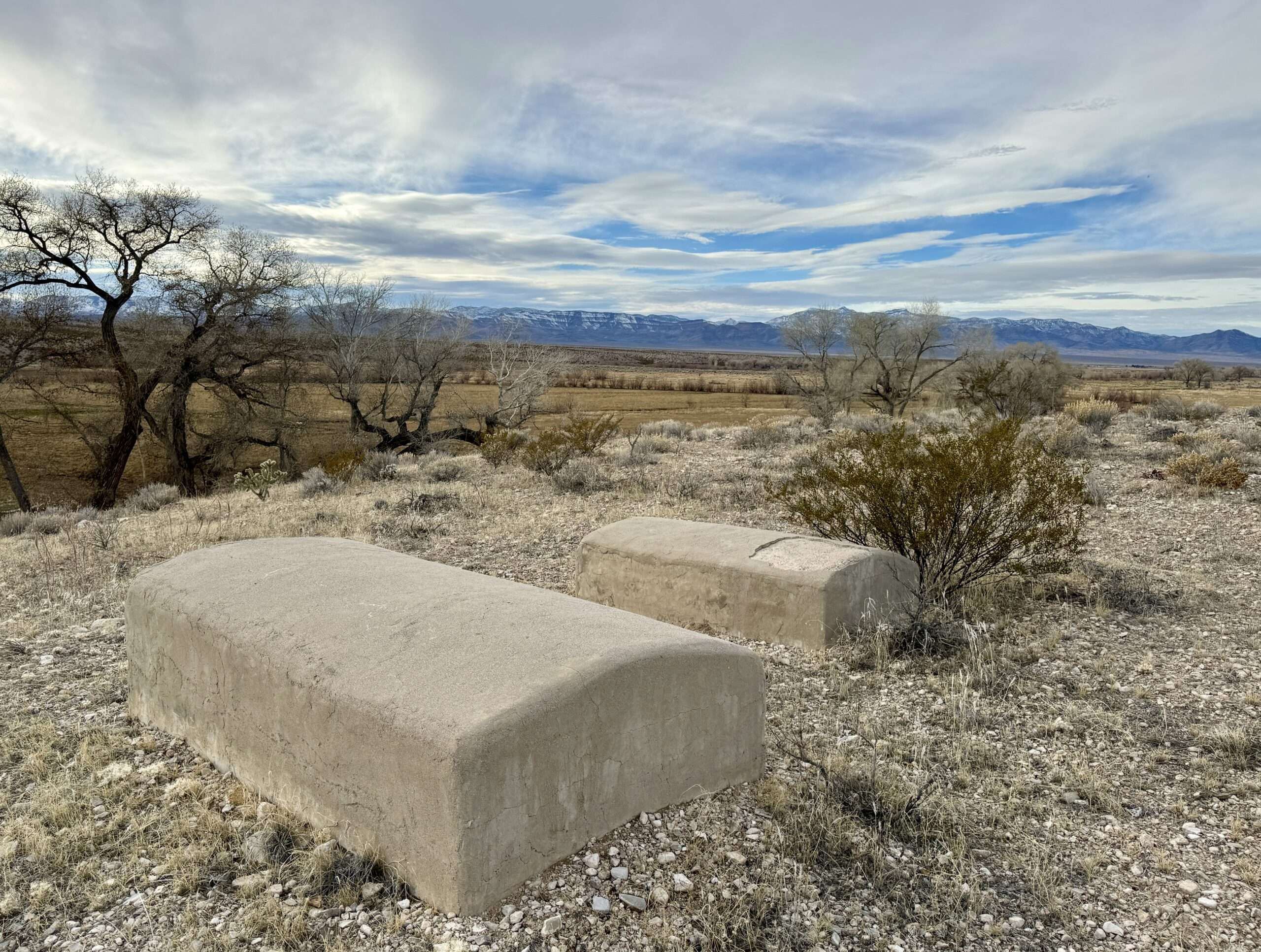
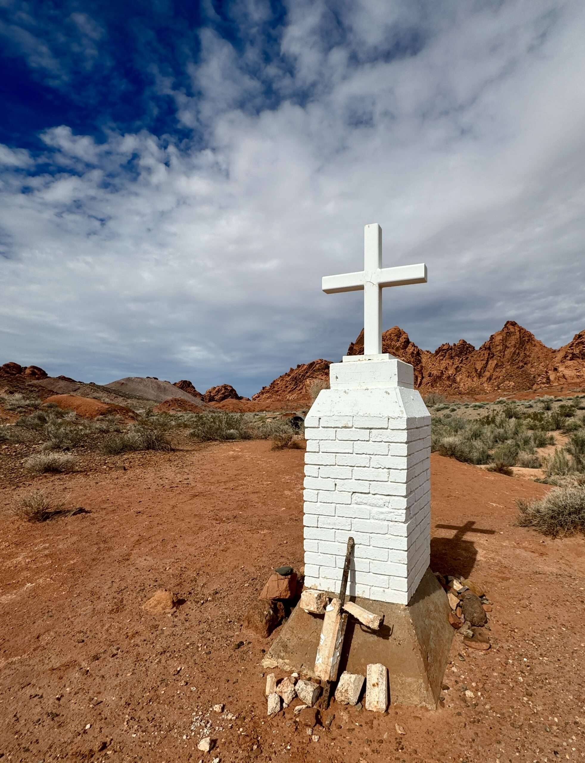
Ash Springs Graves
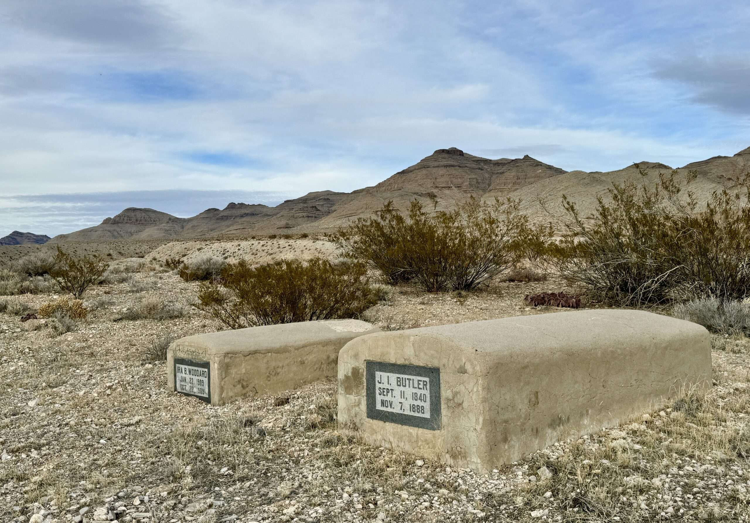
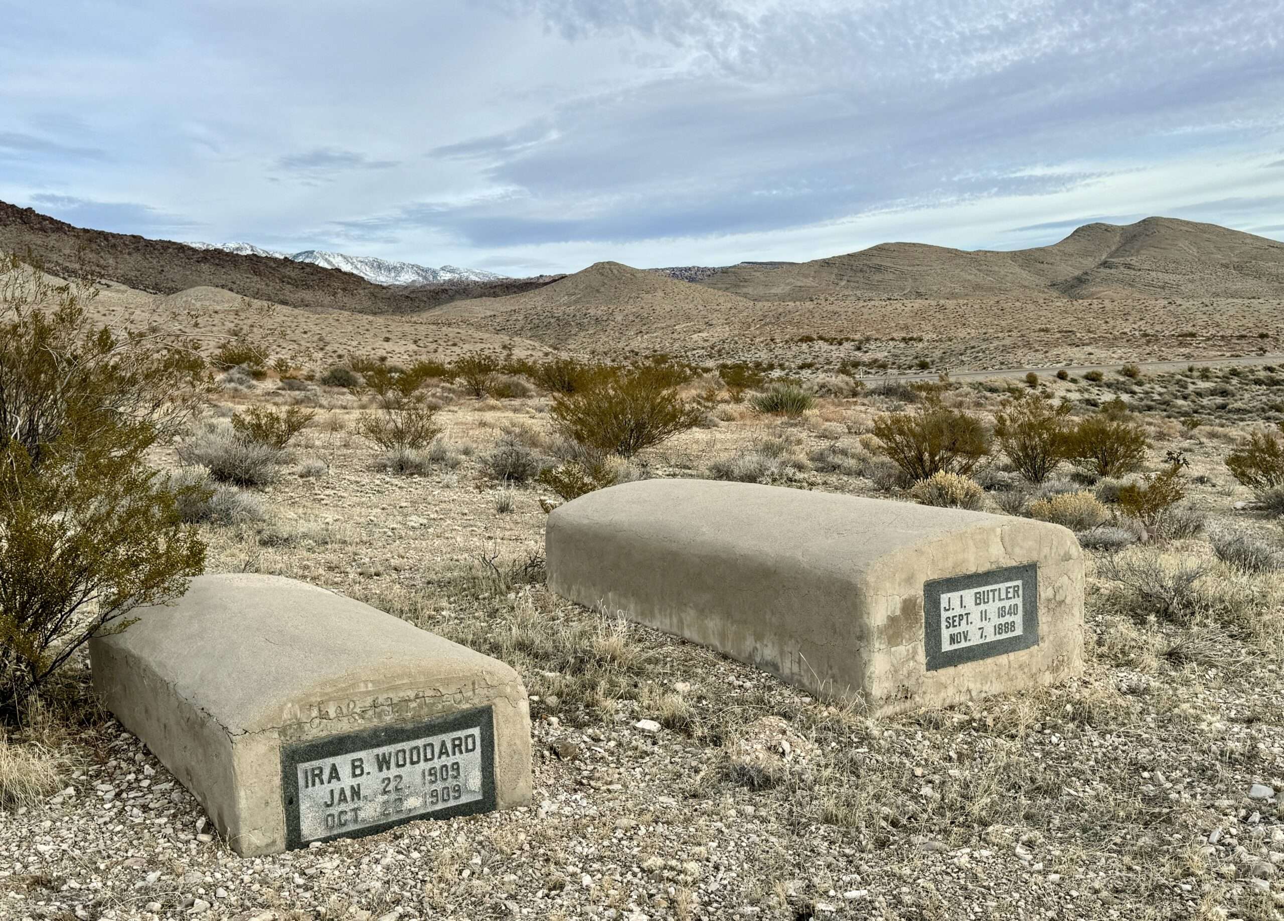
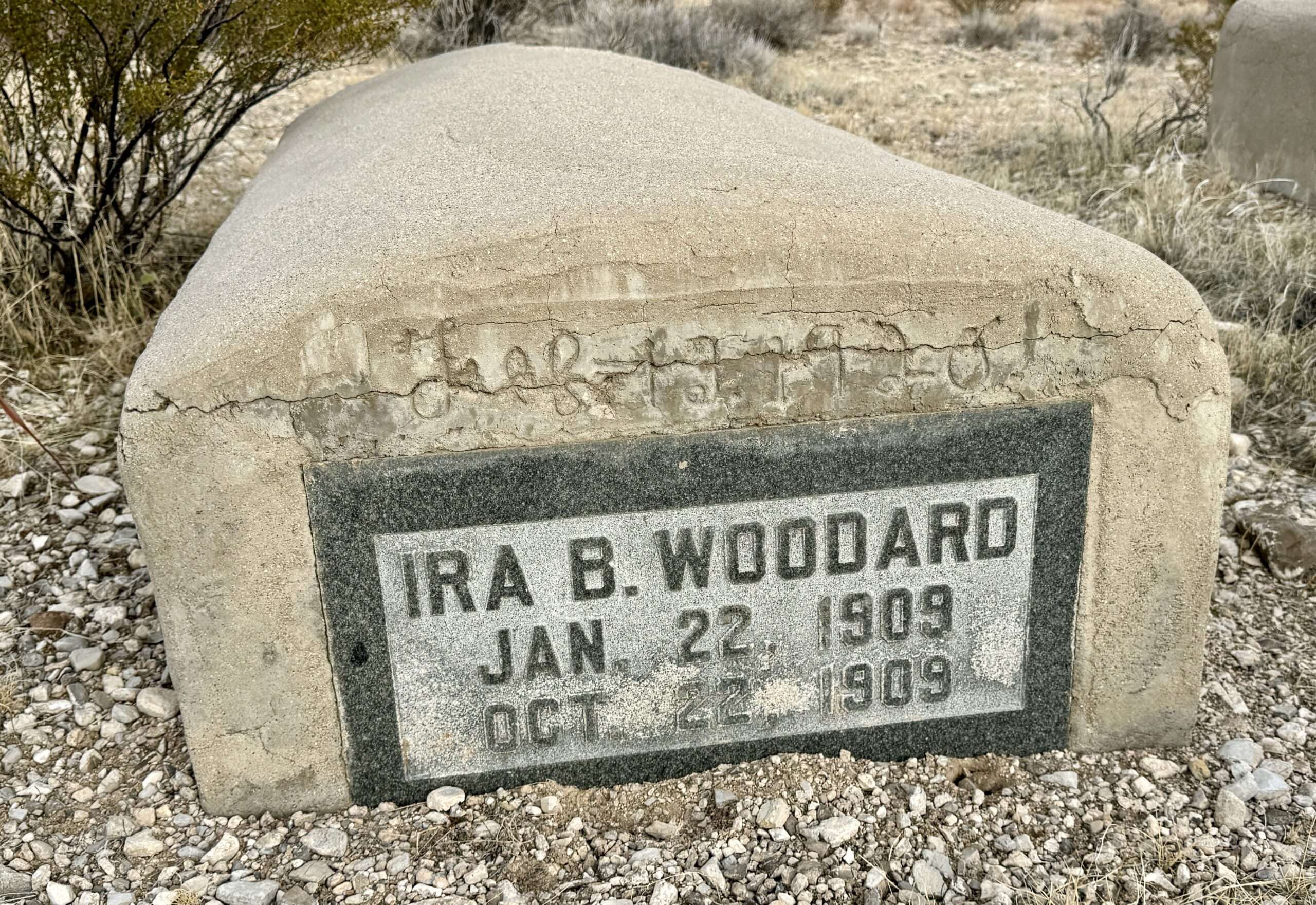
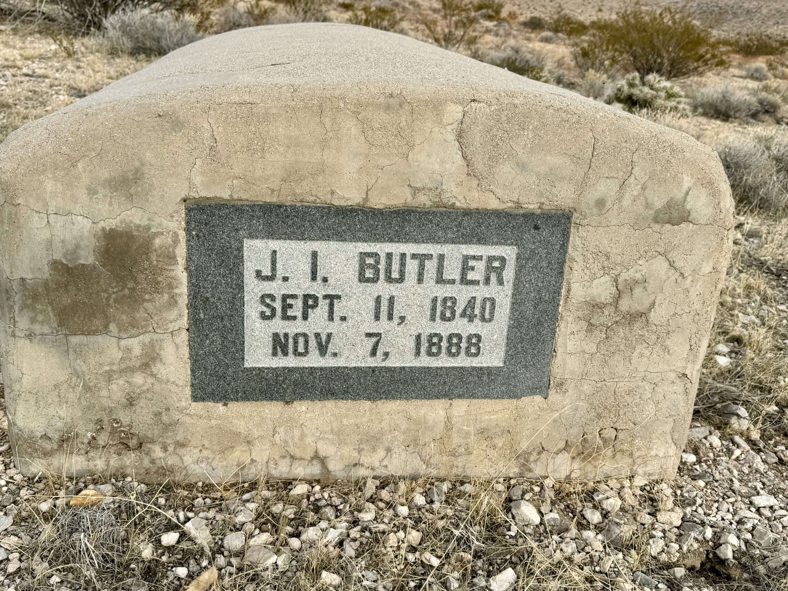
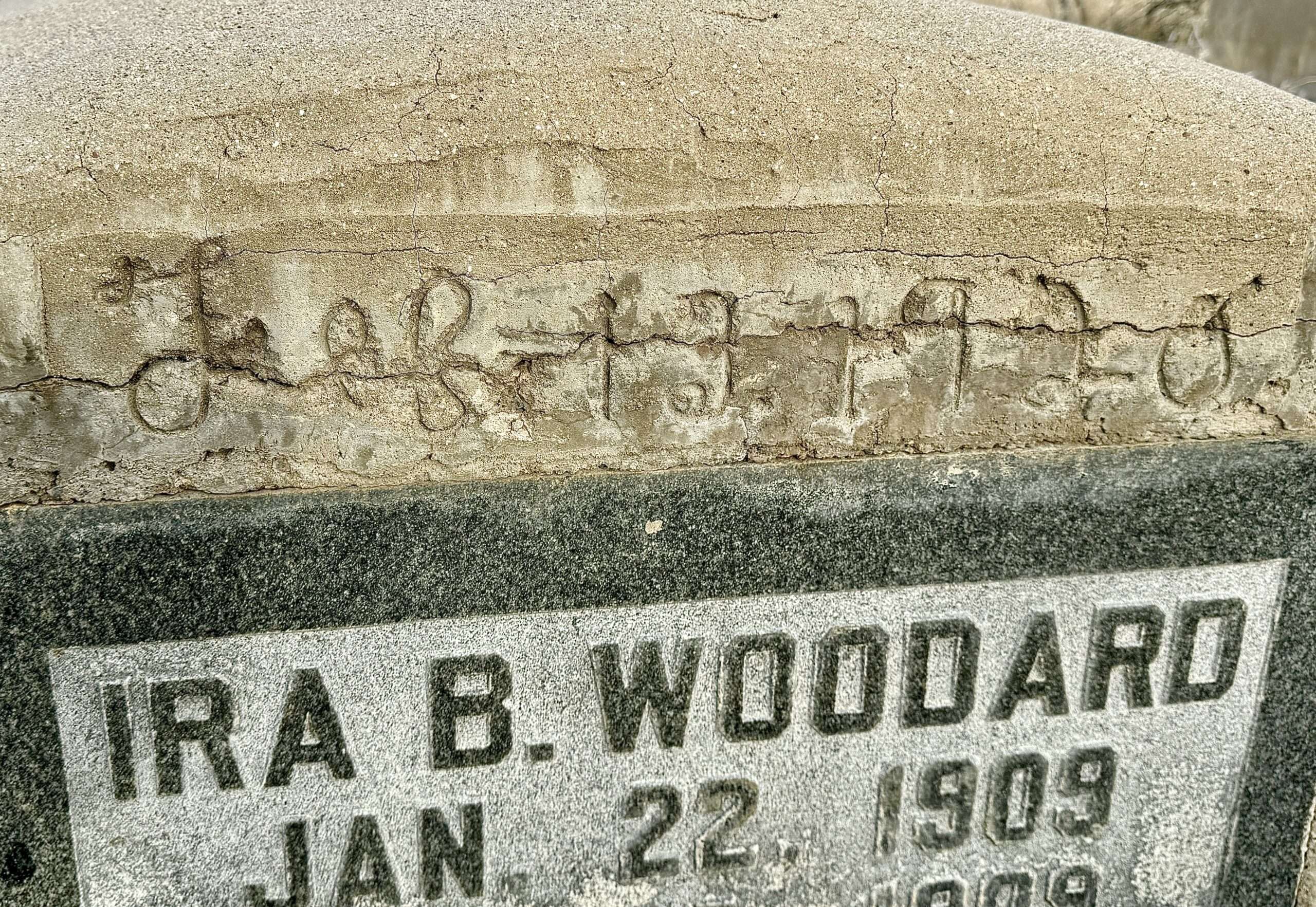
North of Ash Springs are two graves encased in concrete on a hill overlooking the old highway. James Butler was born in Illinois on September 11, 1840. He married Emma Arnold in December of 1881. The couple had four children. James was a rancher and farmer. He died on November 7, 1888, at age 48. Ira Butler Woodard was James’s grandson. He was born on January 22, 1909. Sadly, he died at age 9 months, on October 22.
The concrete and headstones were placed in February of 1920.
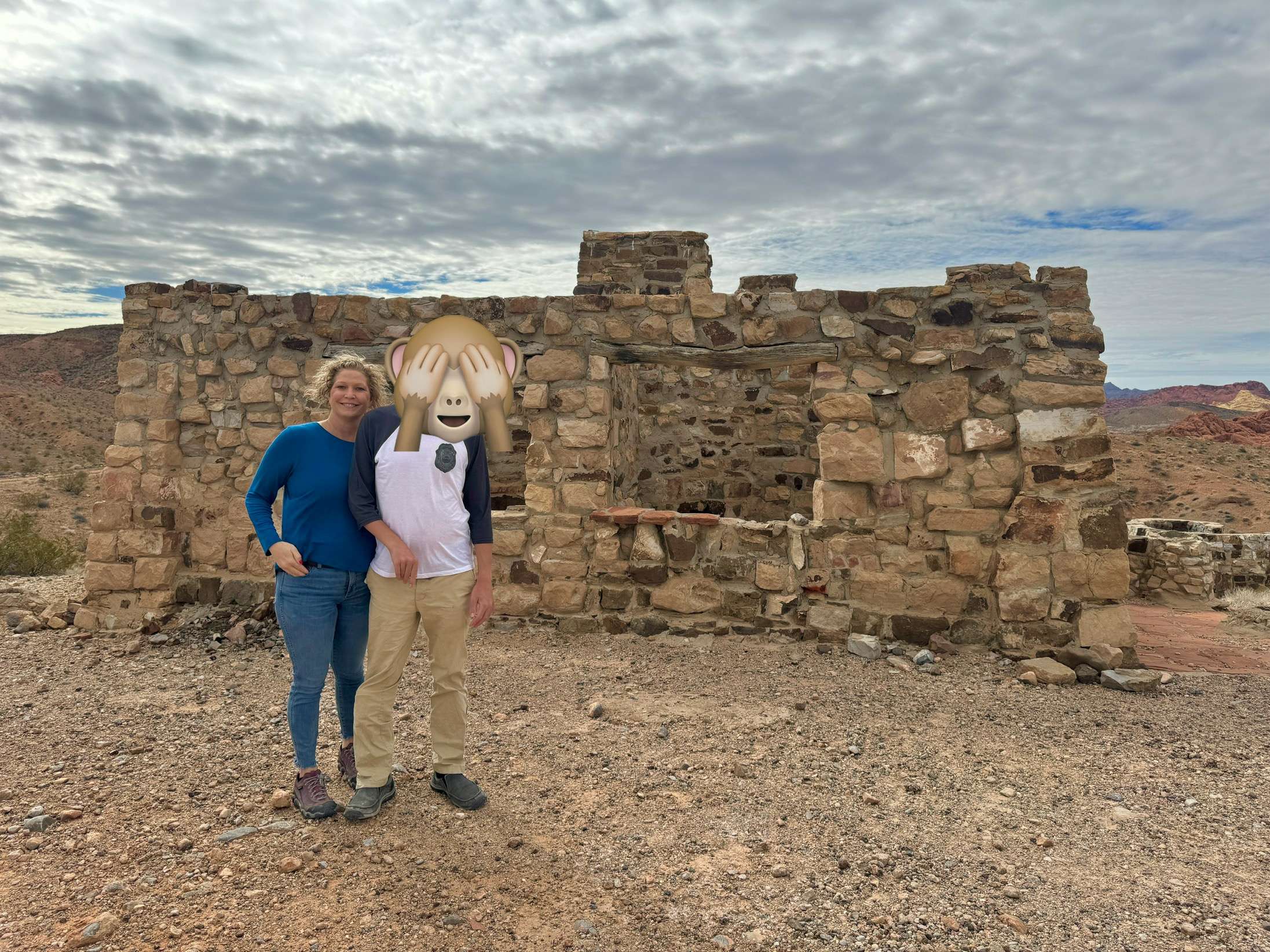
Valley of Fire


Valley of Fire is the OG of Nevada State Parks. Nevada’s first state park opened in 1934, named for the brilliant red colors at sunset. Although known for its beautiful rock formations and big horned sheep, the park has a wealth of history for visitors to explore, including CCC Cabins, petroglyphs, and the grave of a Civil War Veteran.


Learn more about the Valley of Fire CCC Cabins and the Civil War Veteran’s grave.
Buena Vista CCC Campground

The Valley of Fire CCC Cabins are one of the most photographed sites at the park, but few visitors know about the Buena Vista CCC Cabins. Little is known about the second set of cabins perched on a hilltop. Within the park boundaries, they are now only accessible from outside the park and require 4-wheel drive high clearance.

Learn more about Buena Vista CCC Campground.
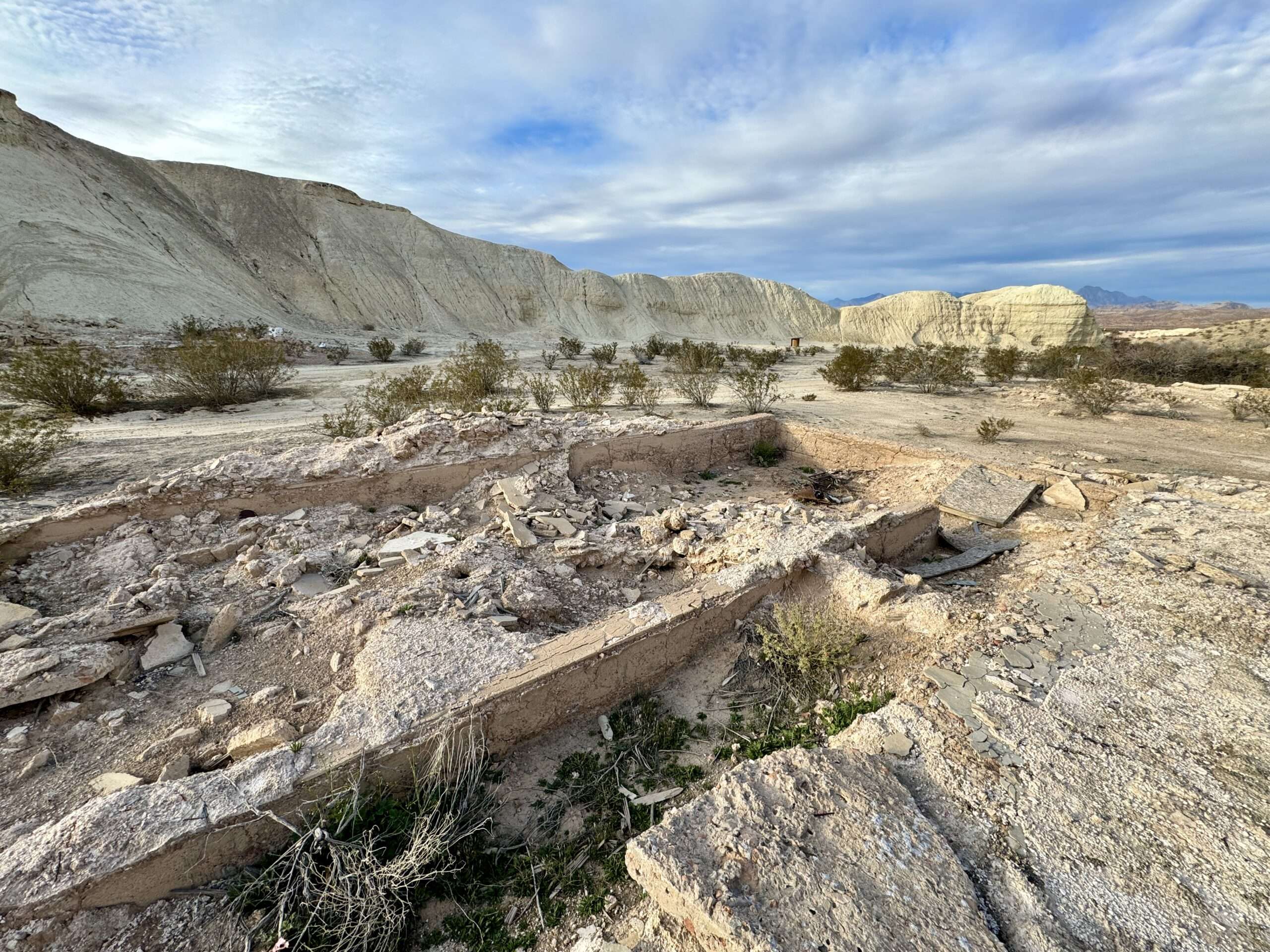
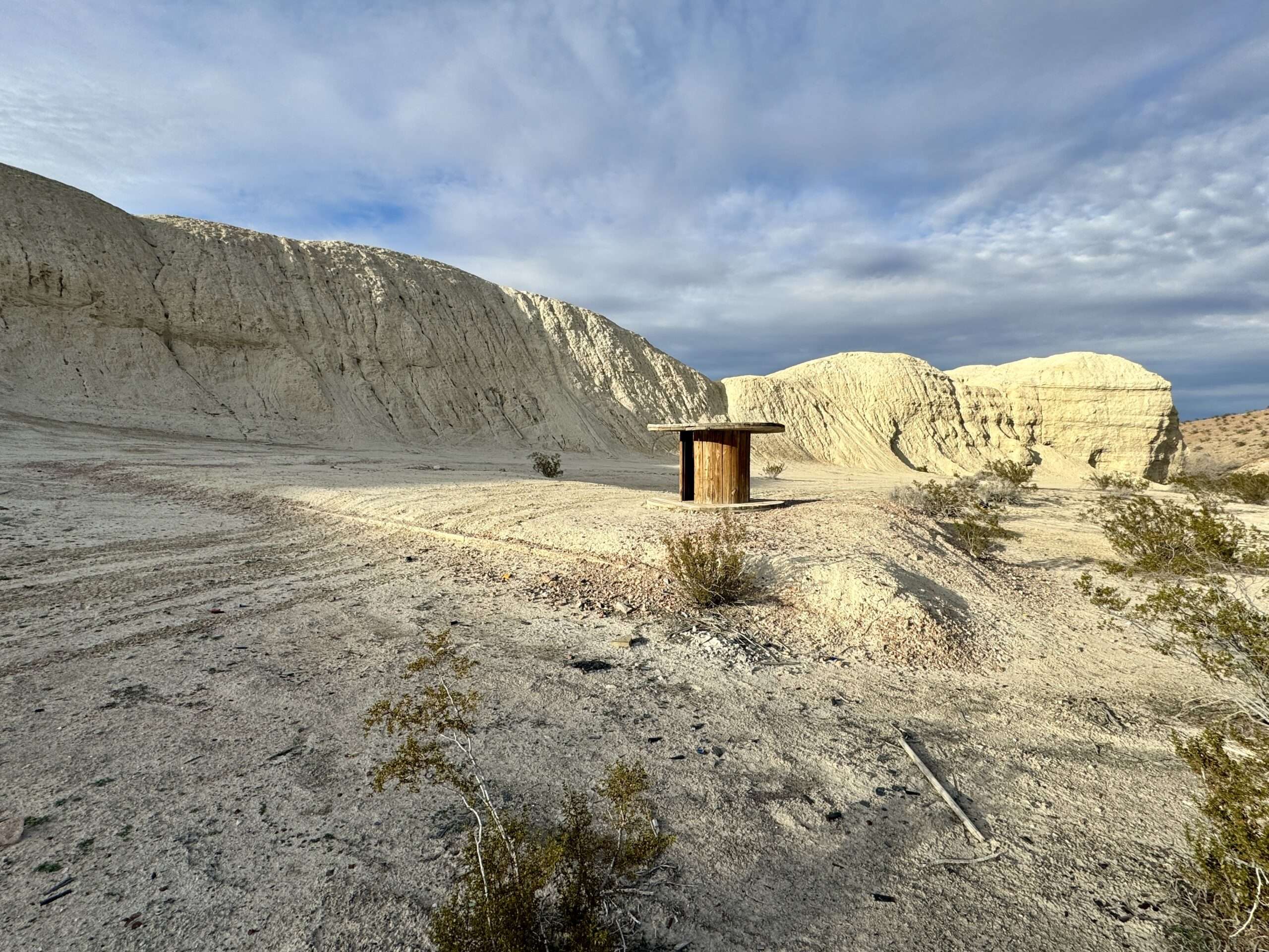
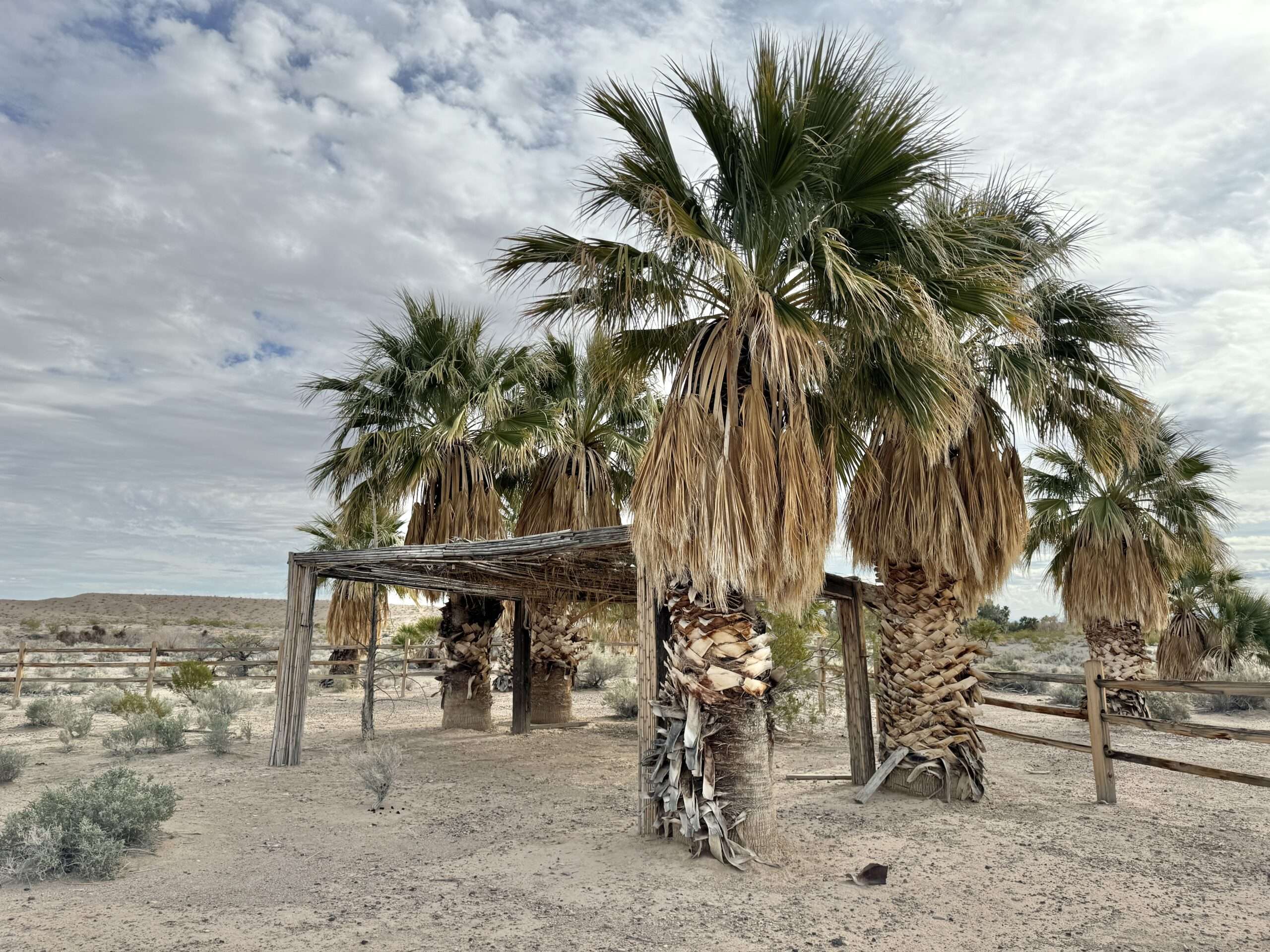
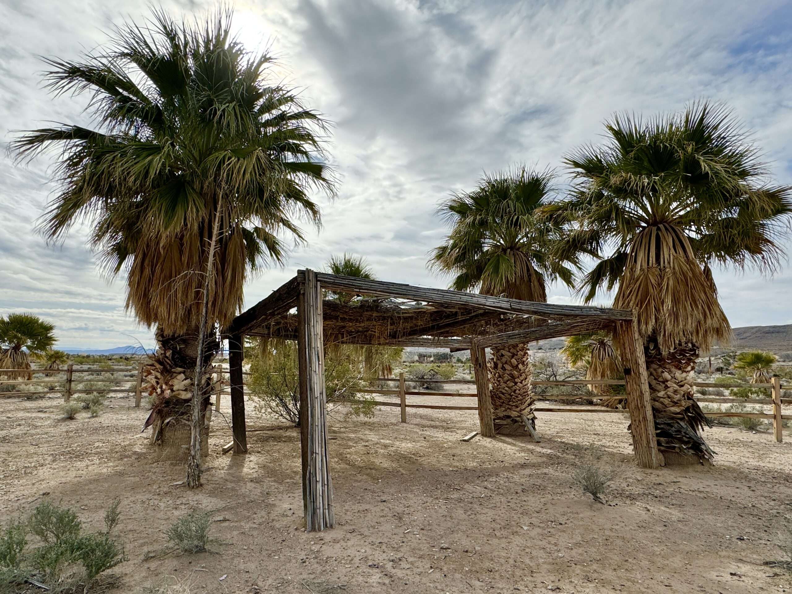
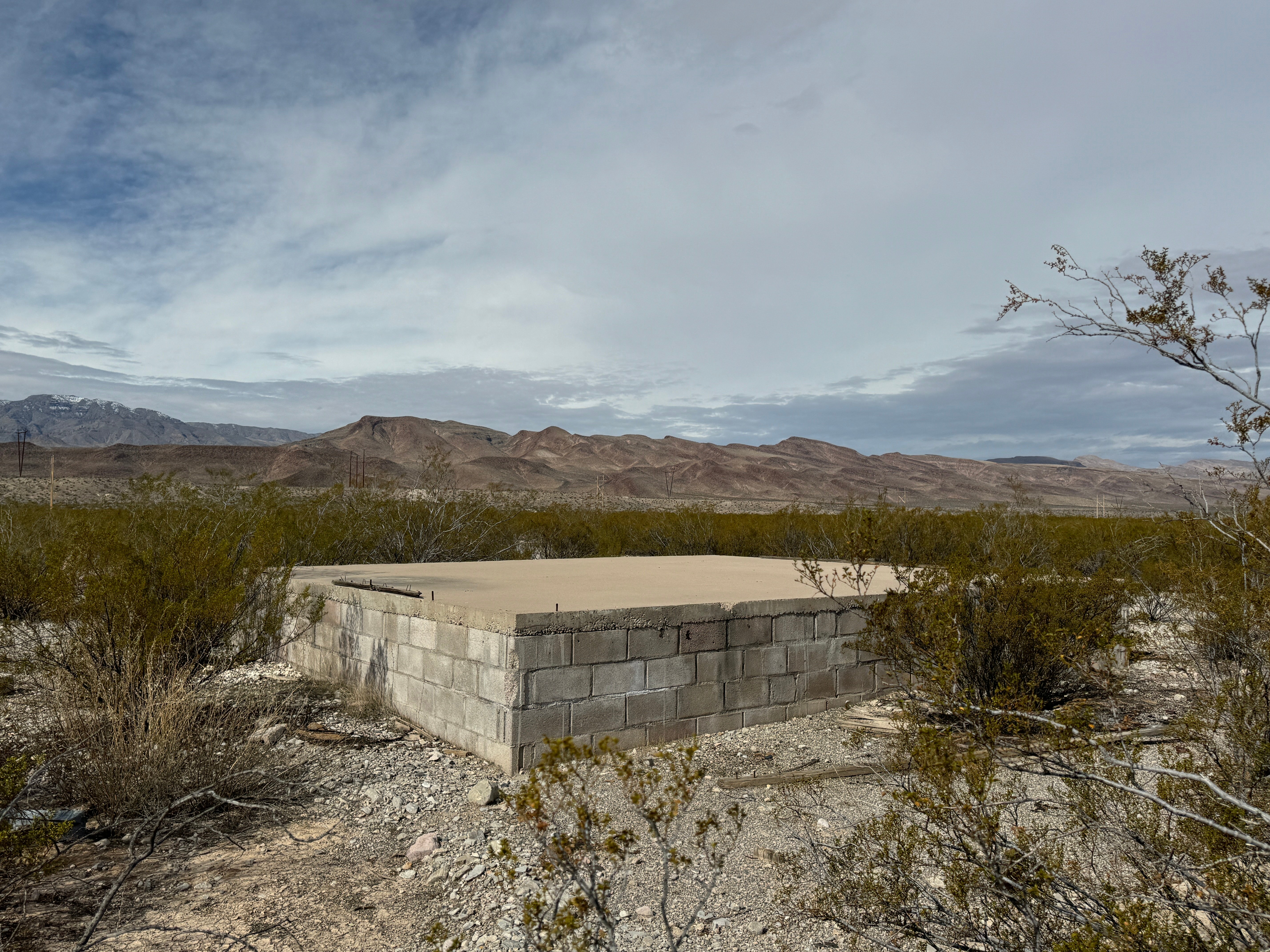
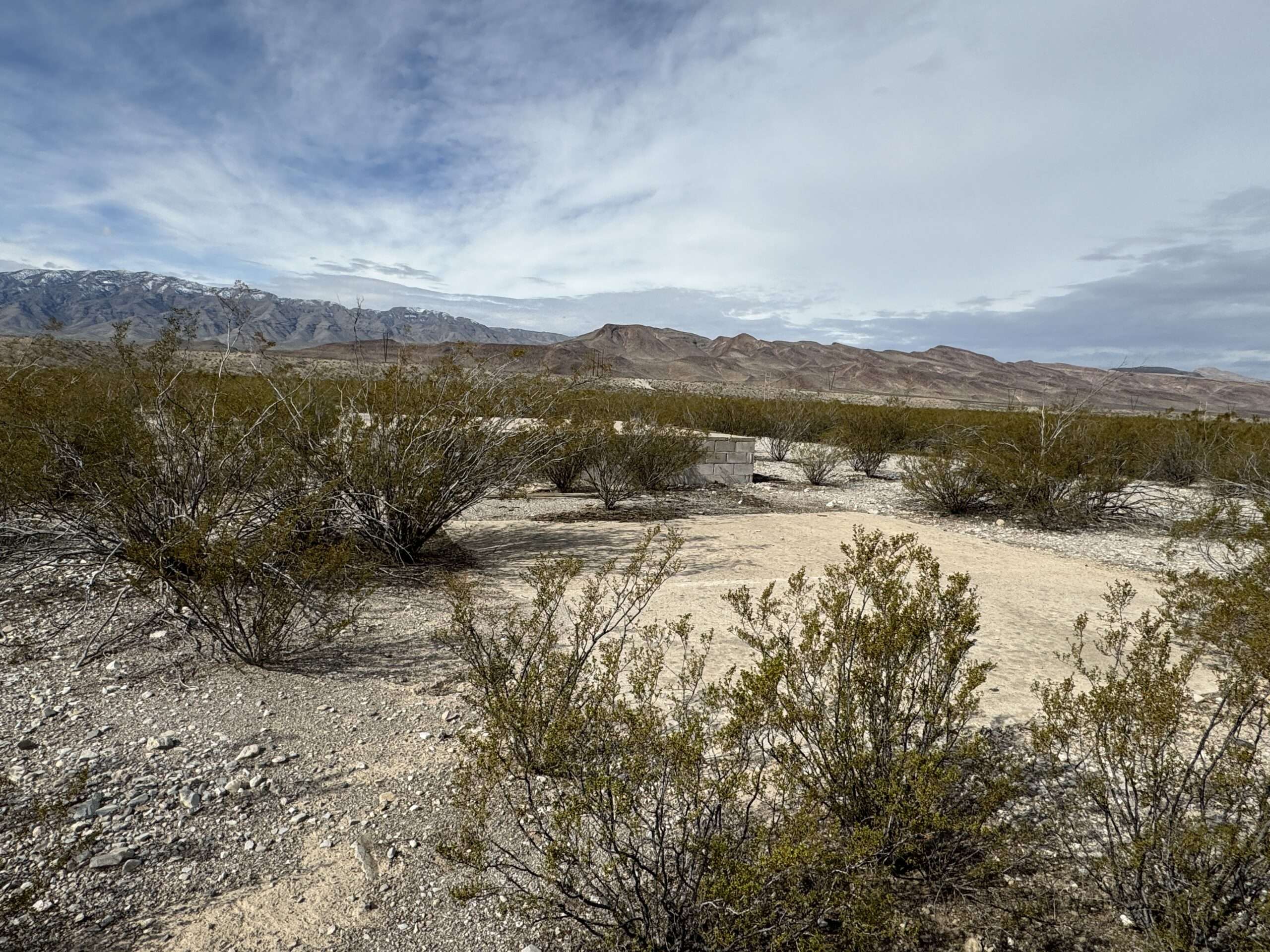
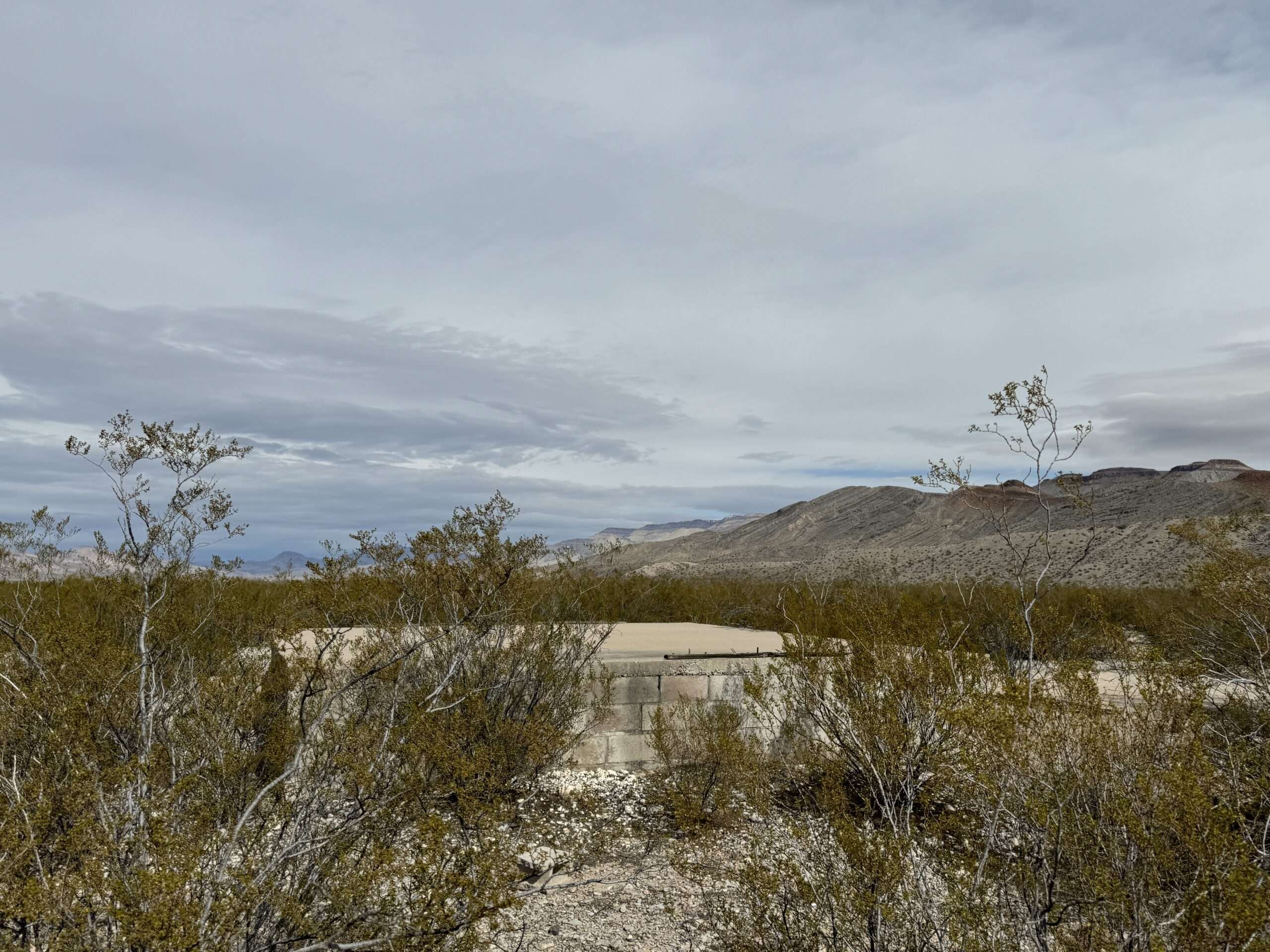
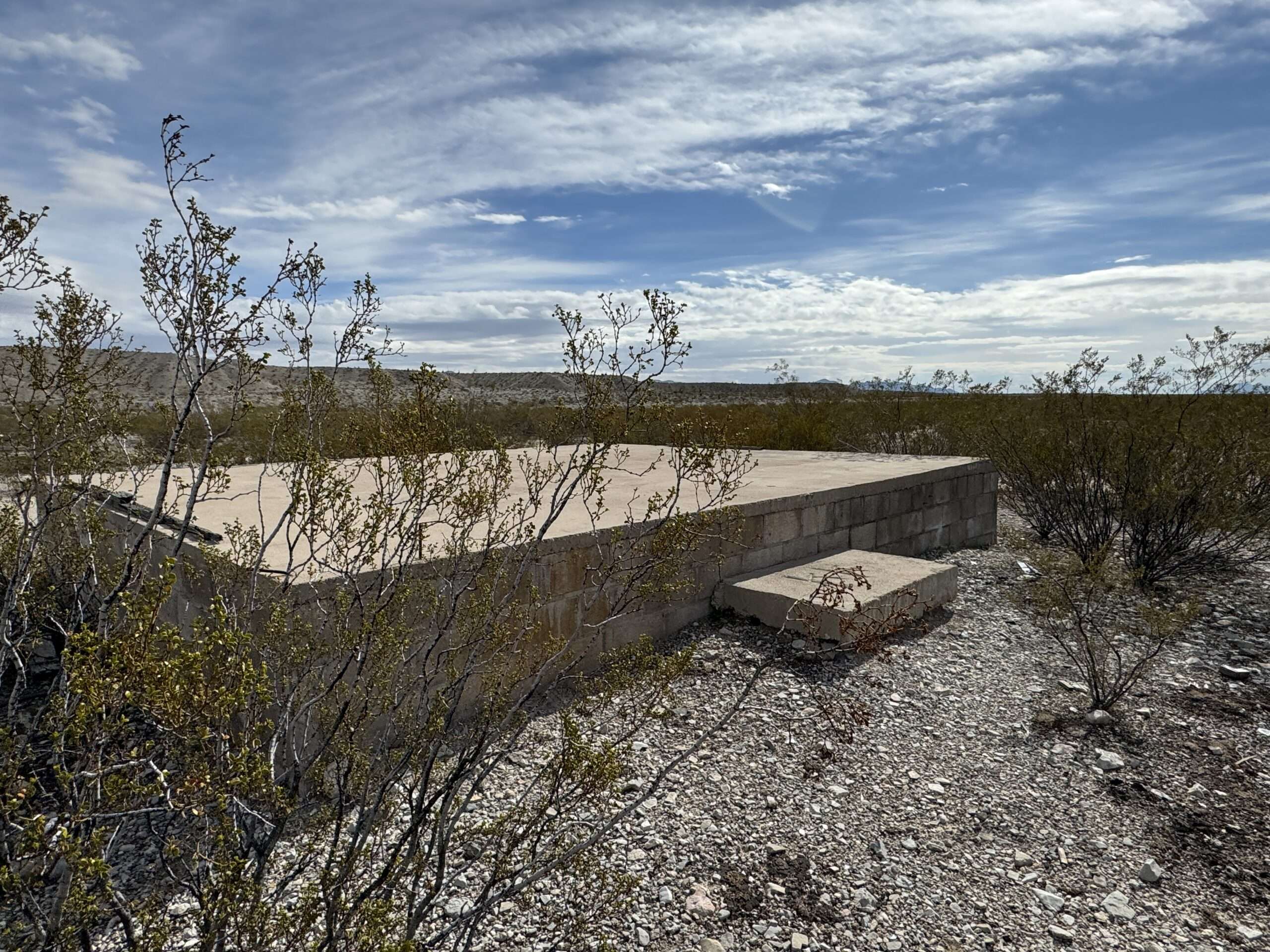
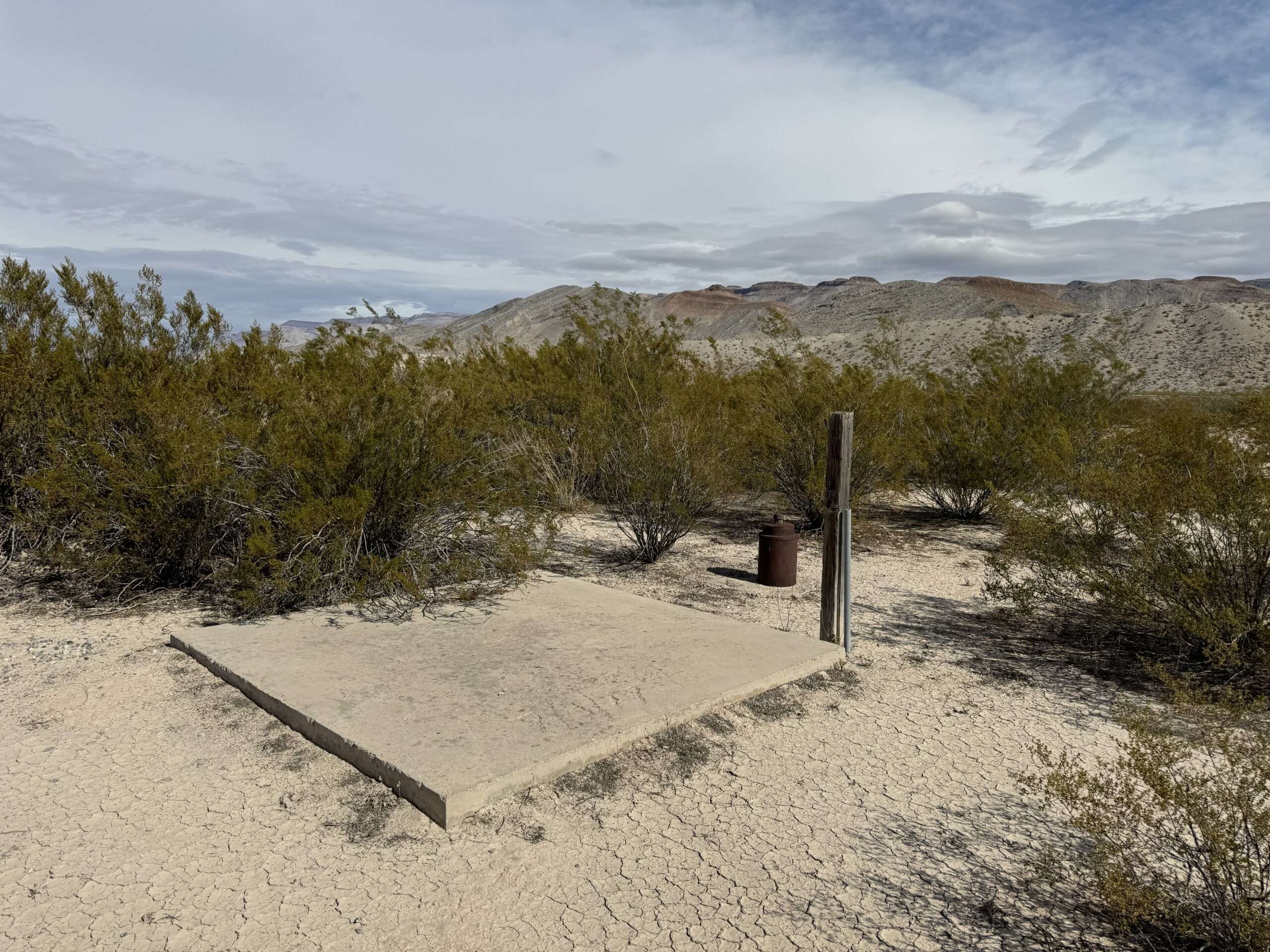
Hupton
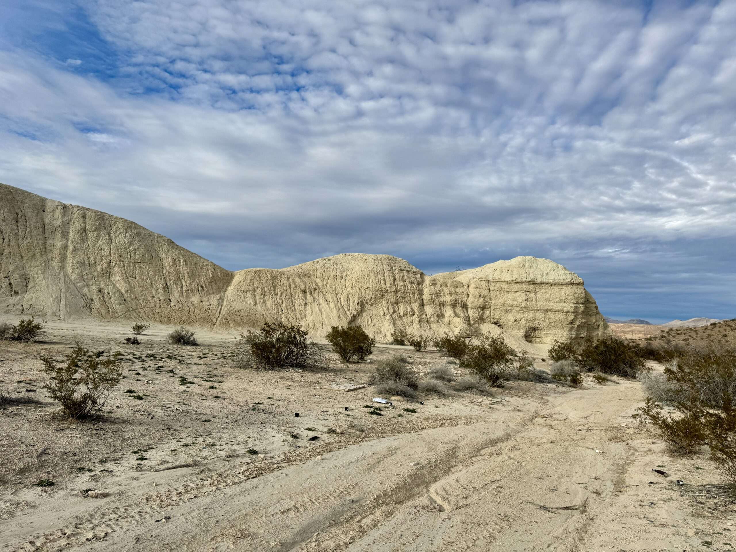
The White Star Plaster Company built a mill in 1919. The mil connected to the outside world via a railroad spur. The mill grew as more gypsum deposits were discovered. Soon, 500 residents called the new town of Hupton home, and a post office opened in 1922. The mill closed in 1923 and residents moved on.
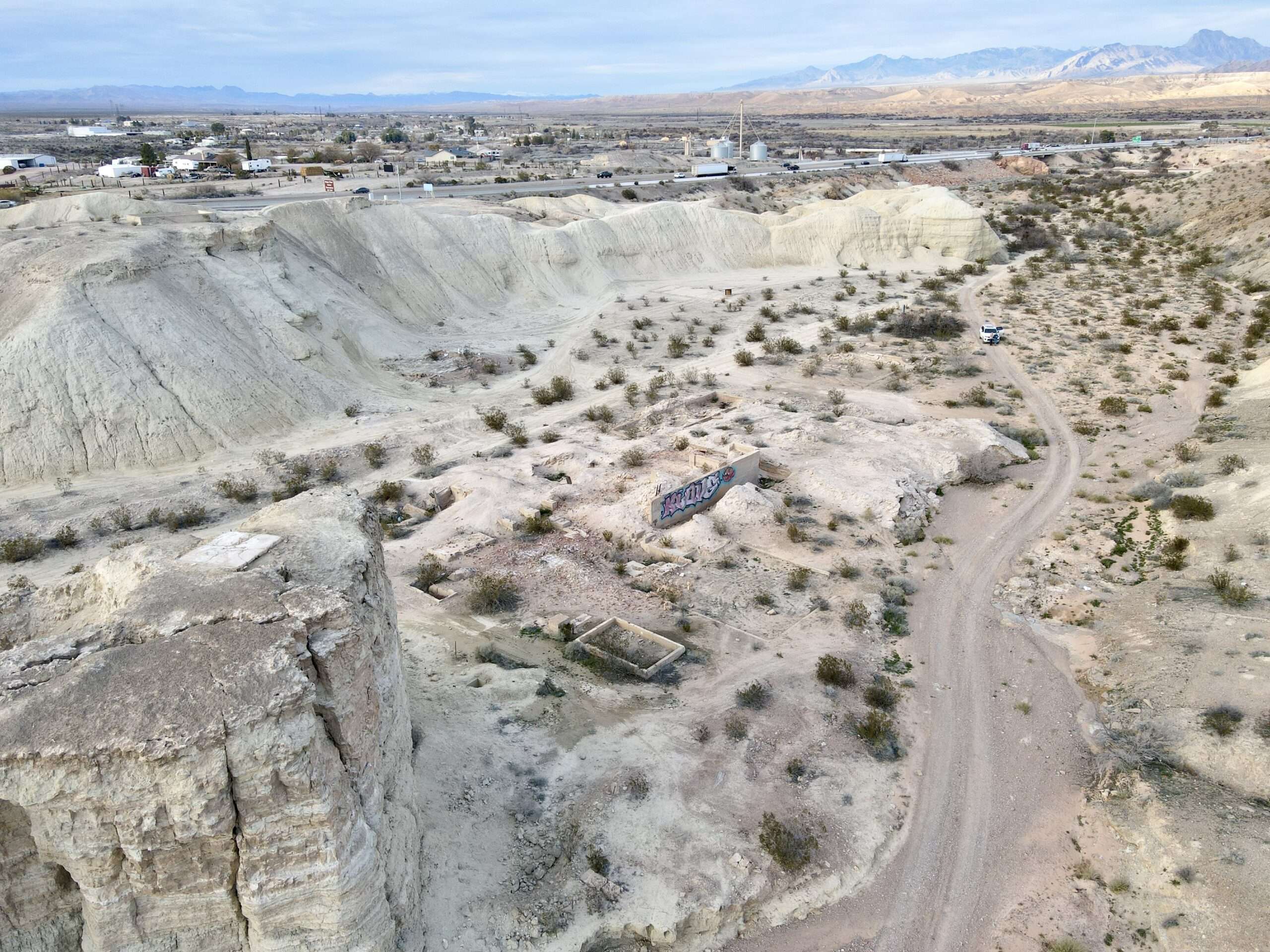


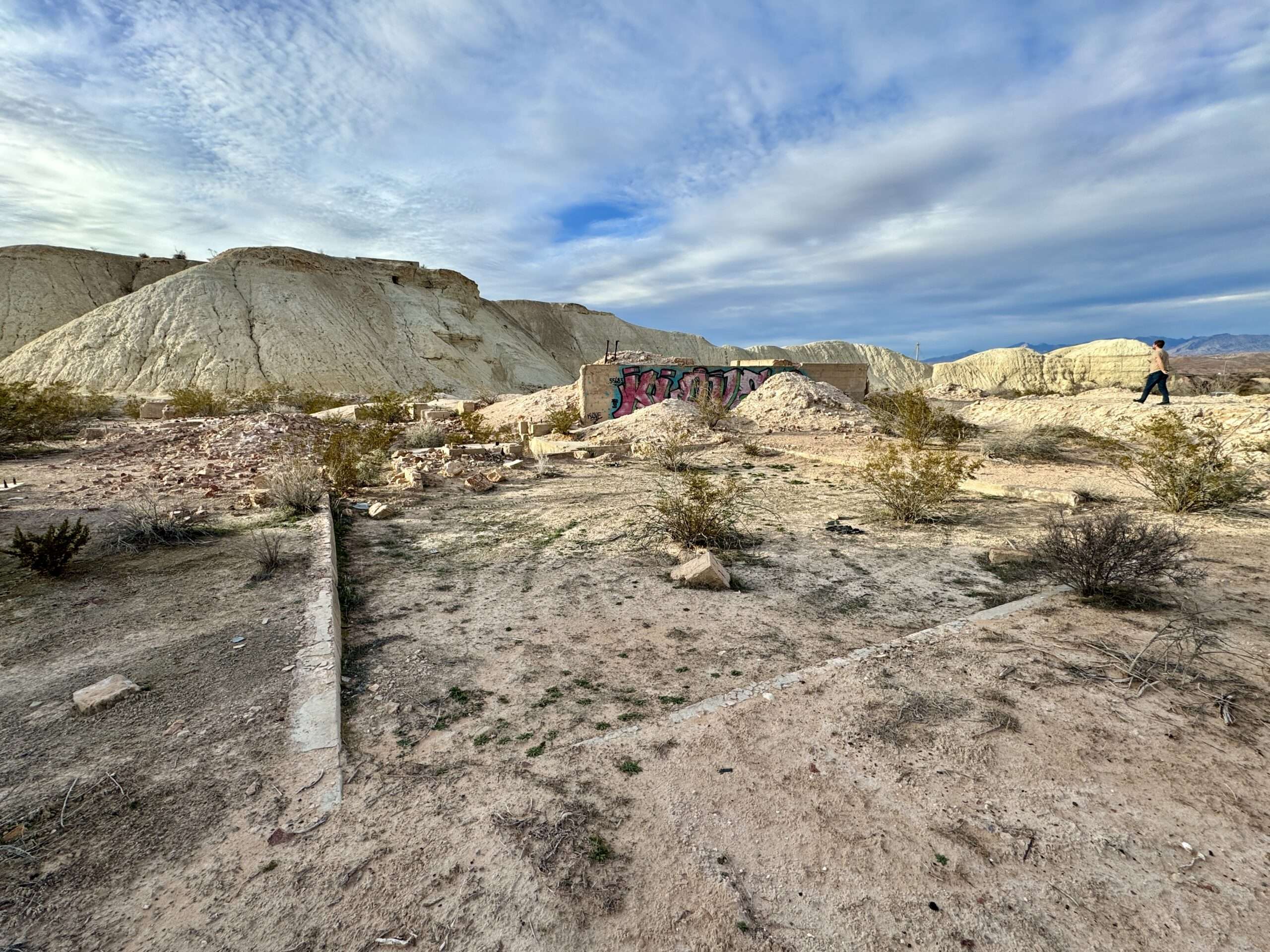

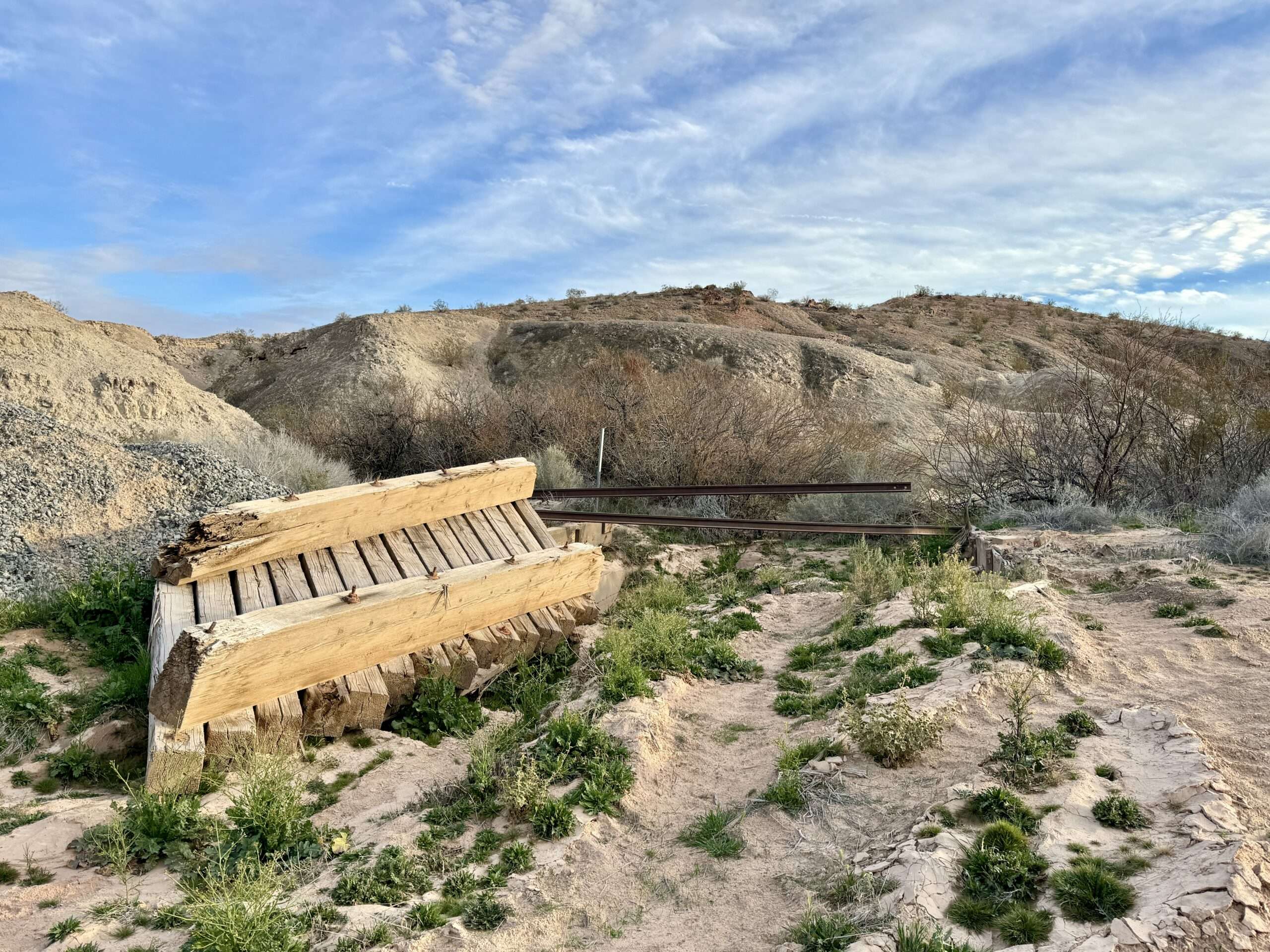
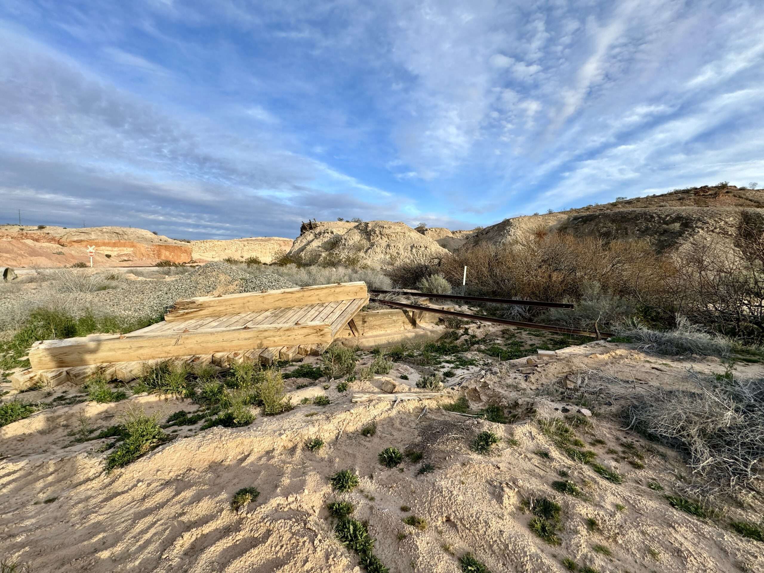
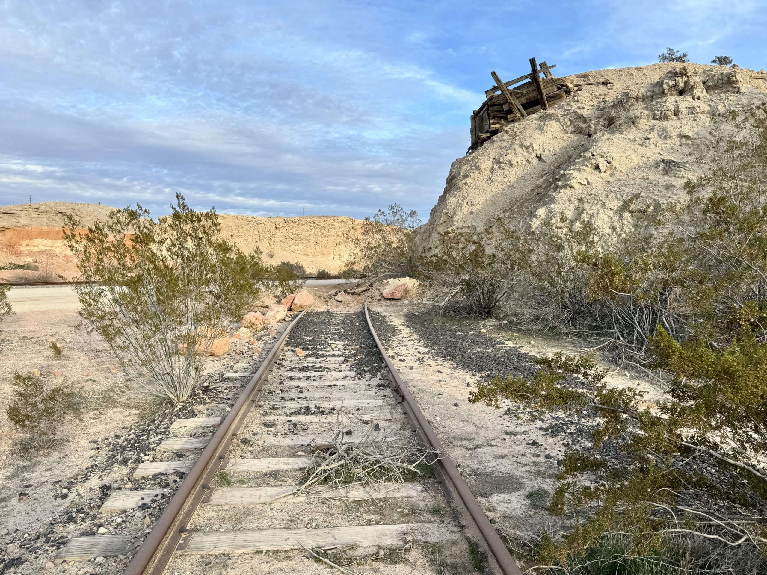
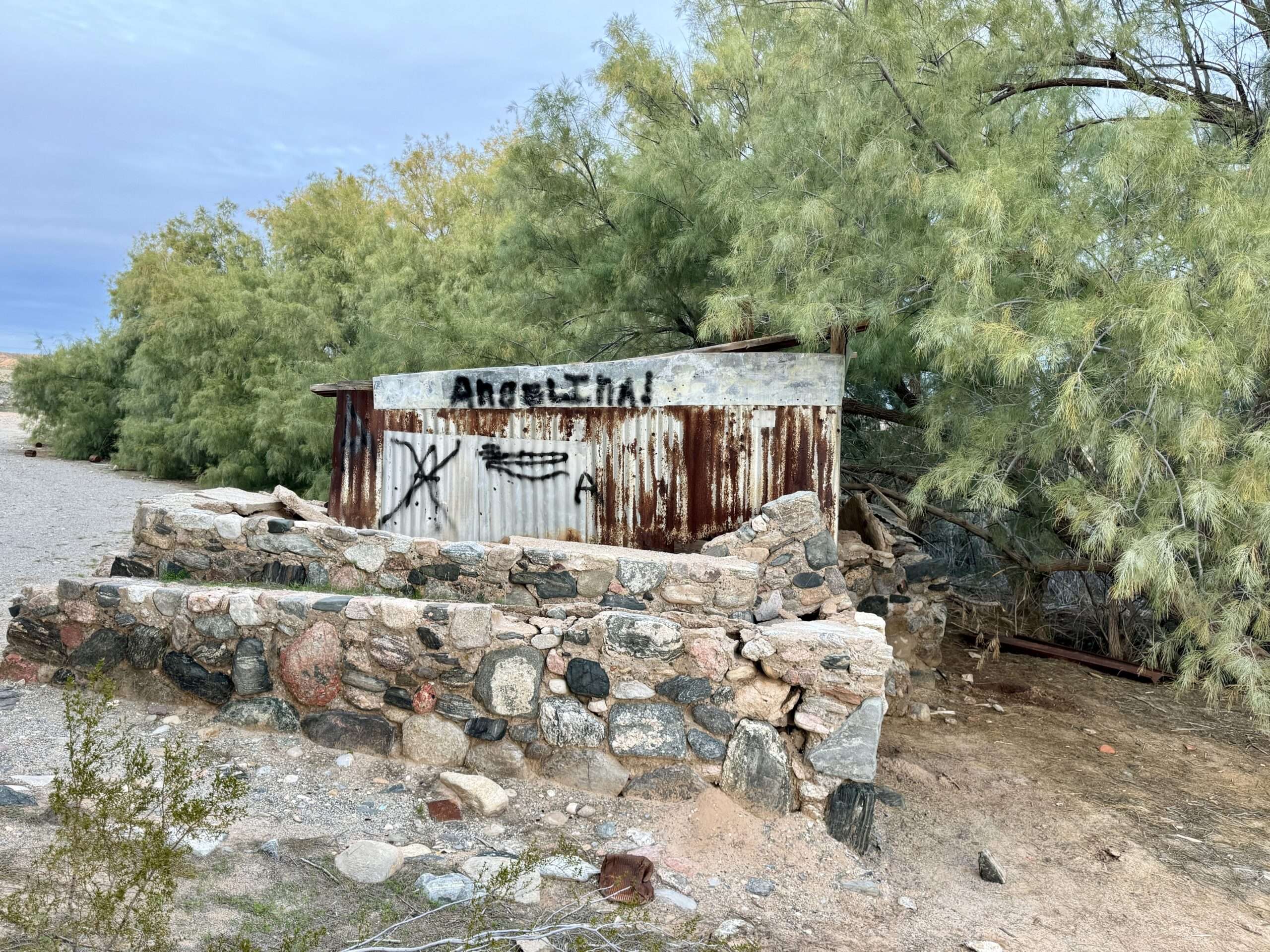
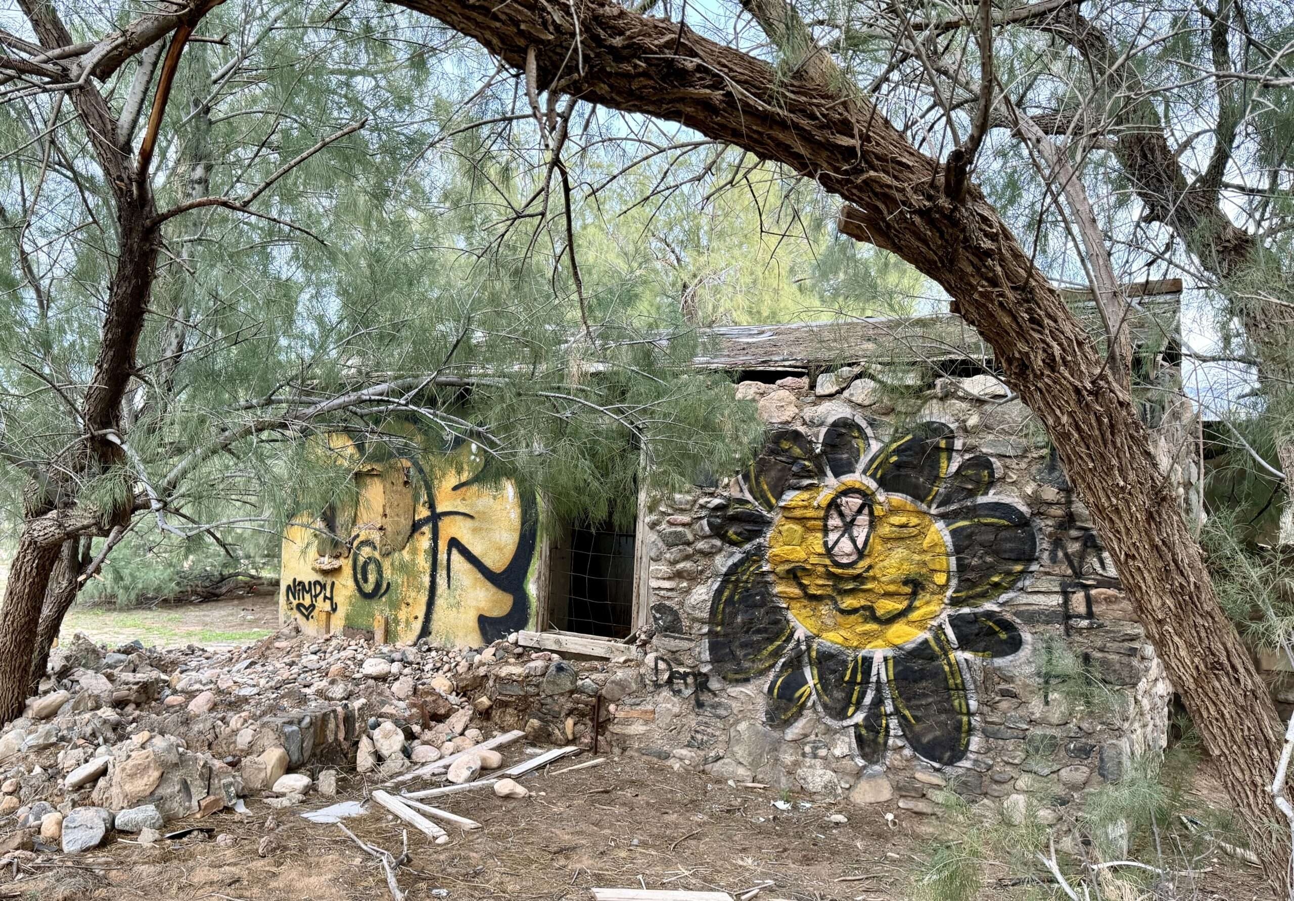
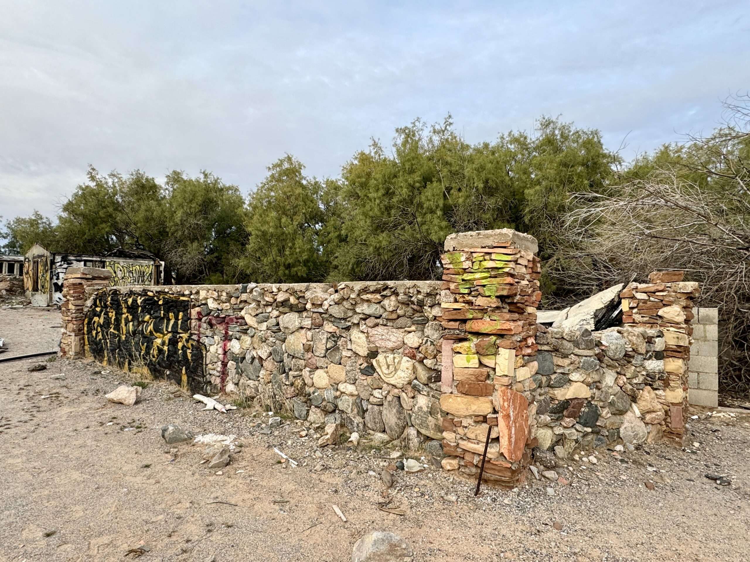
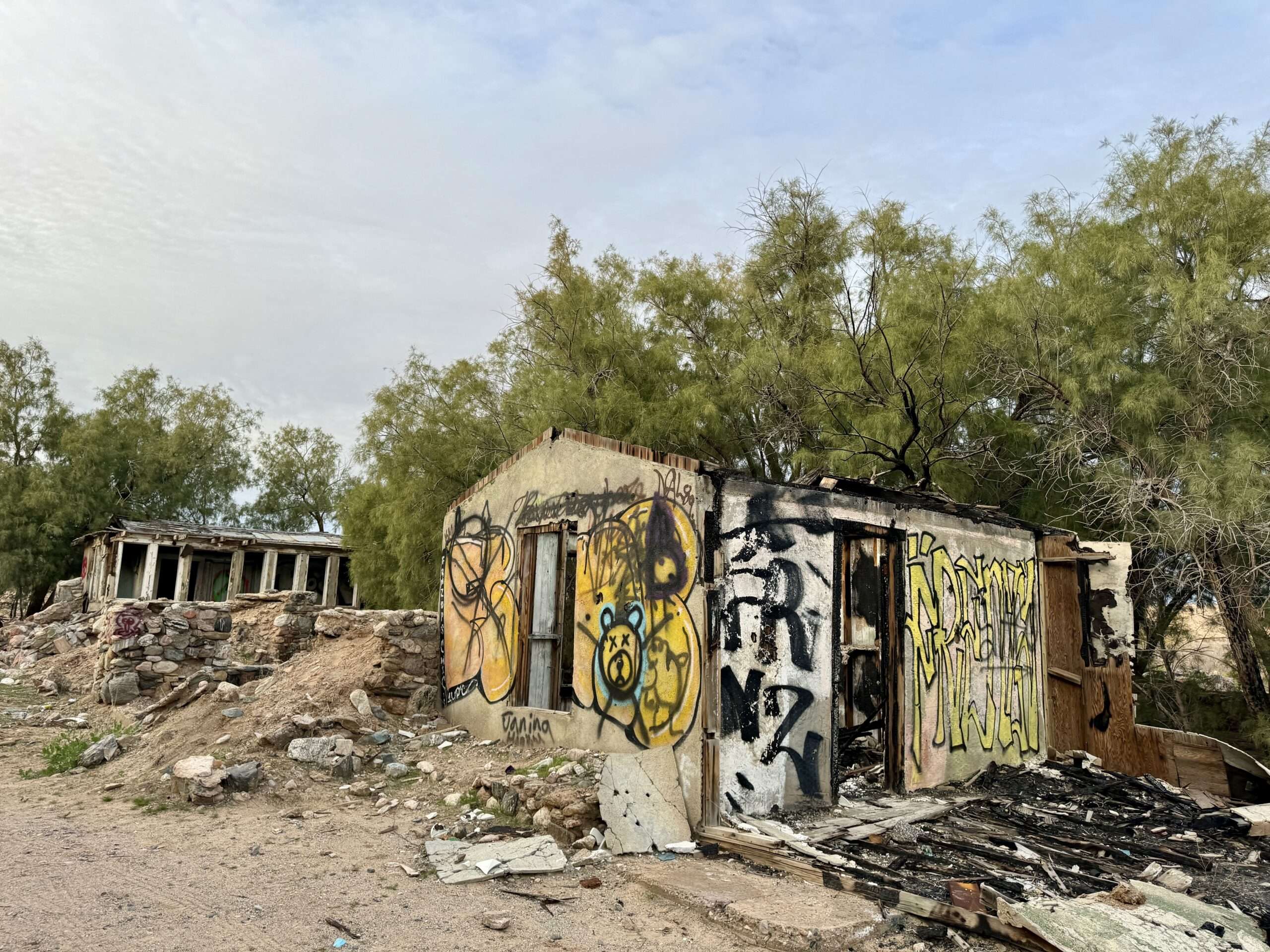
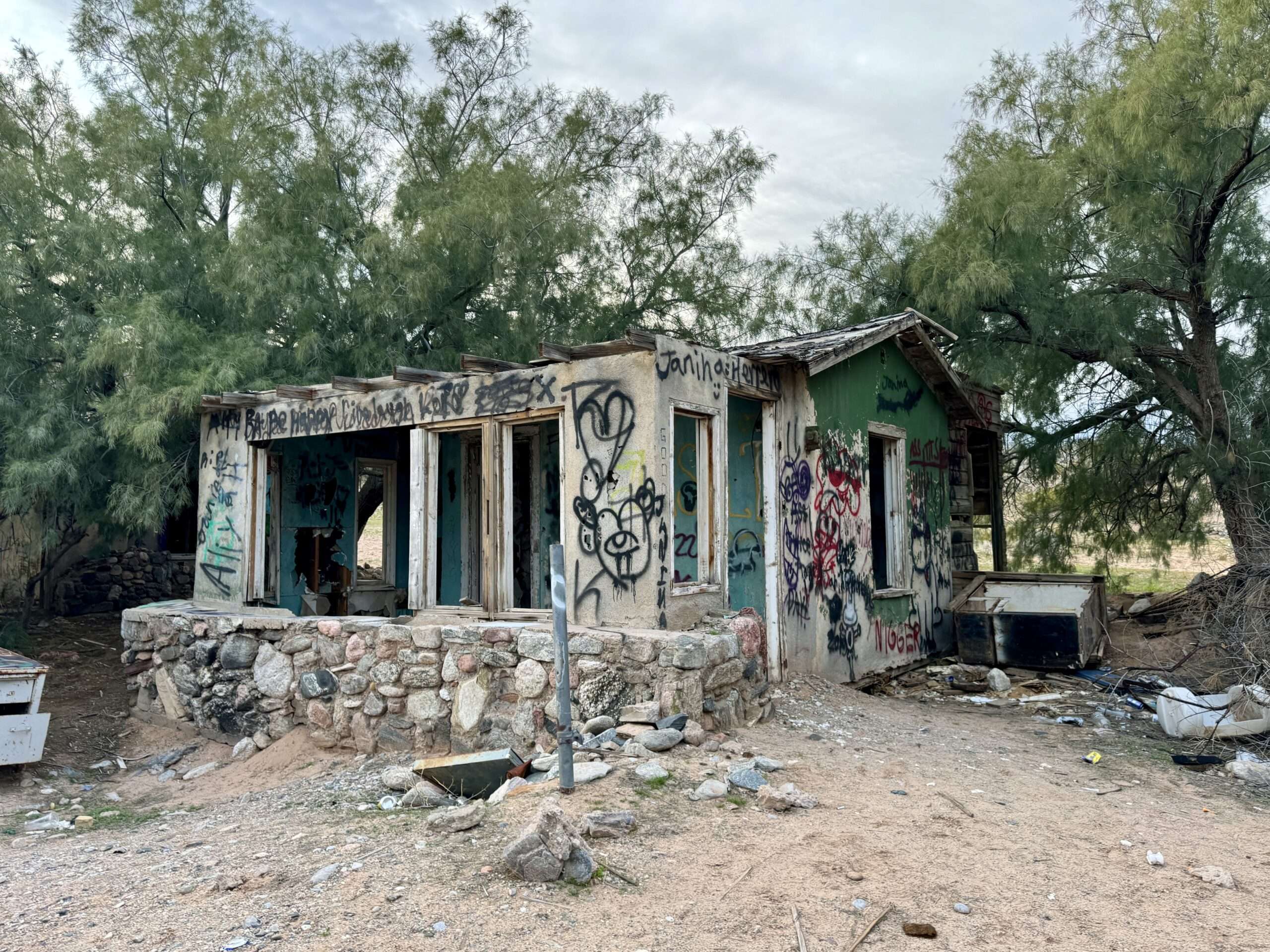
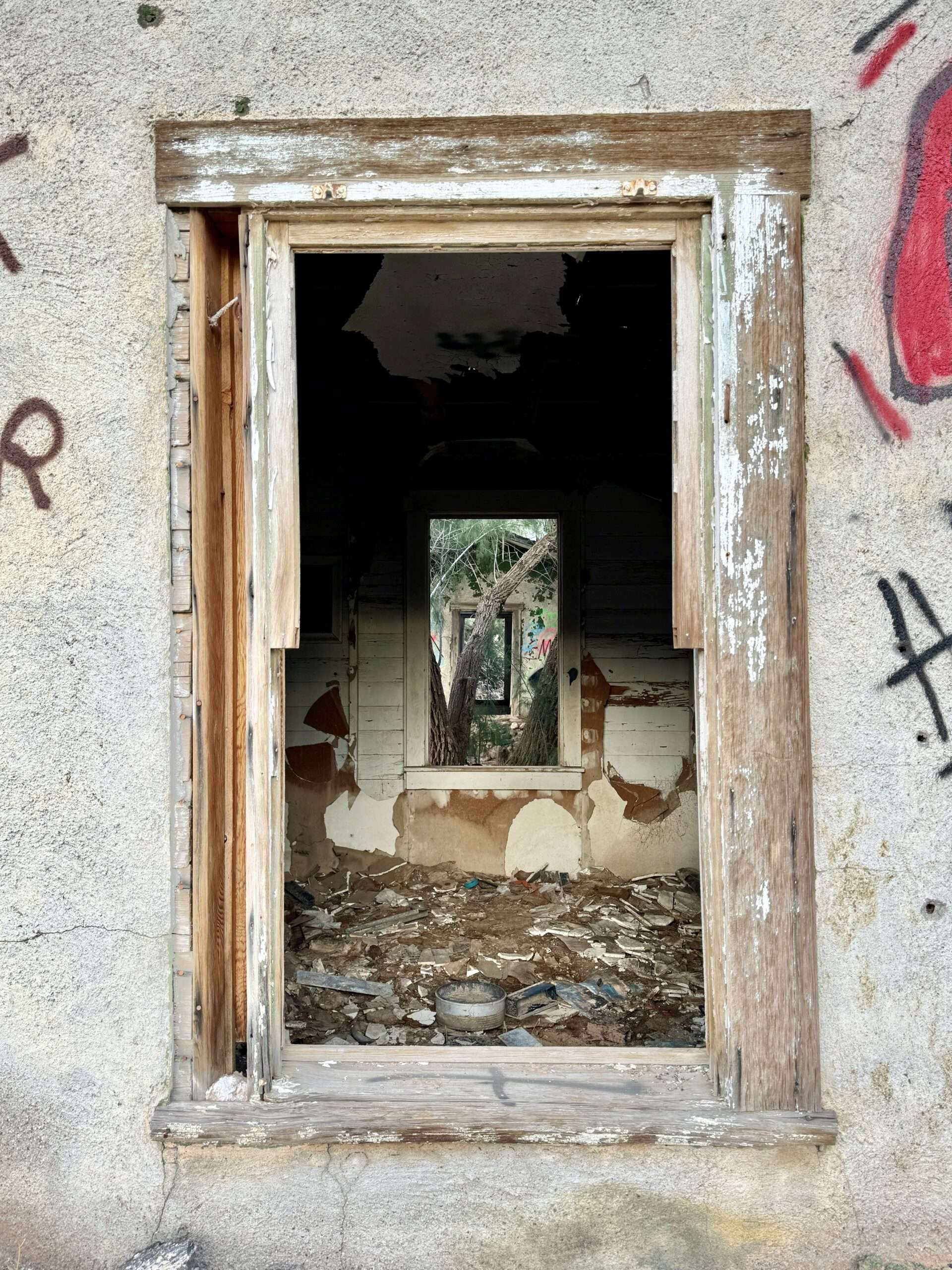
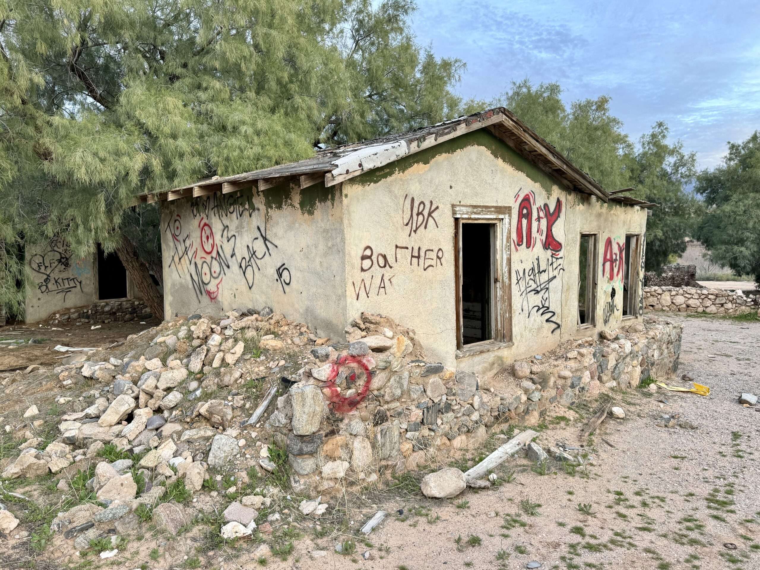
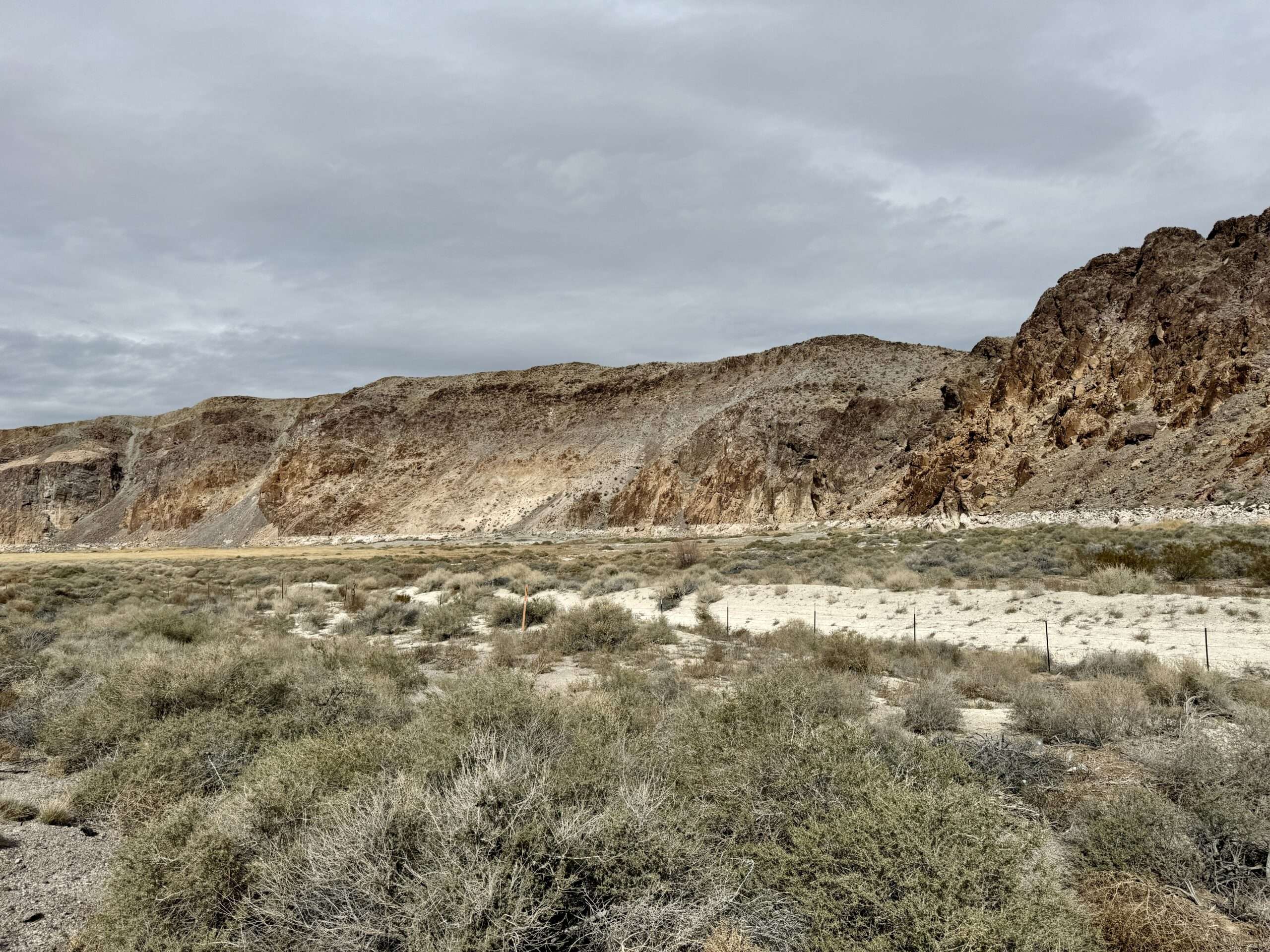
Riverside
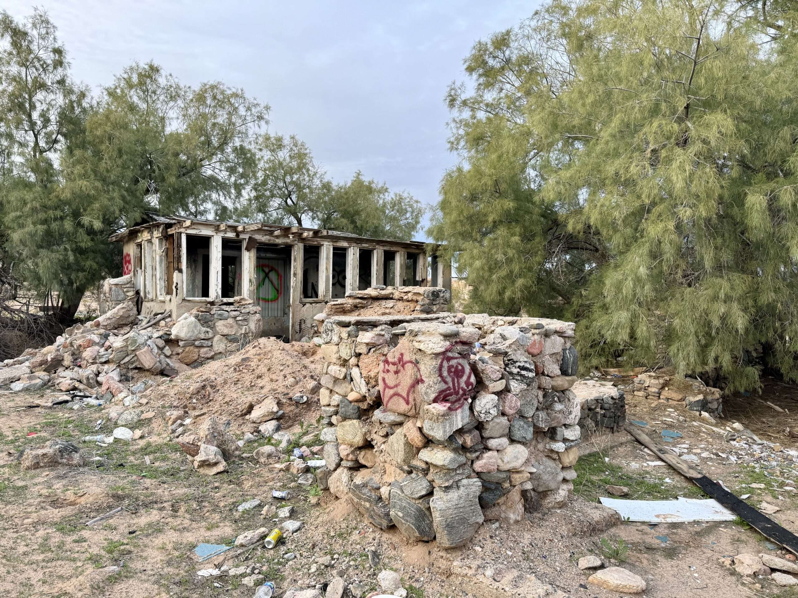
Riverside was a service station in the mid-1920s and closed in the 1950s with the rerouting of I15. I first visited Riverside in the fall of 2023, but the site creeped me out. Since we were back in the area, I made Austin go with me.

Warm Springs

Mormon emigrants first camped at the springs and natural oasis as early as 1849. Twenty-four springs provide water for the fan palms.
Francis Taylor created the 1,200 Warn Springs Ranch in 1950. Visitors included children, locals, and actors. Xavier Cugat, bandleader and producer at the Tropicana, built the cabanas for the Las Vegas showgirls to tan.
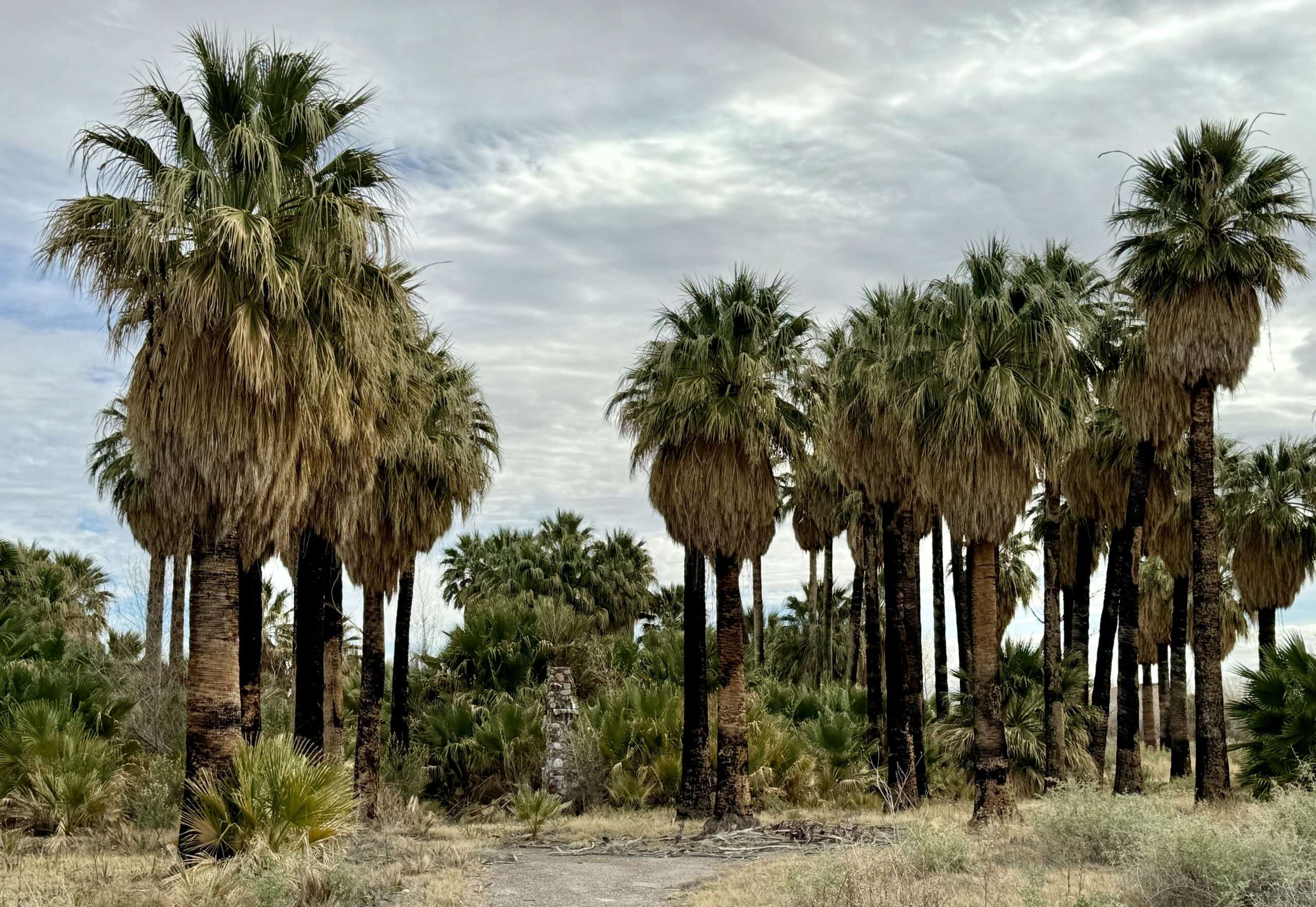

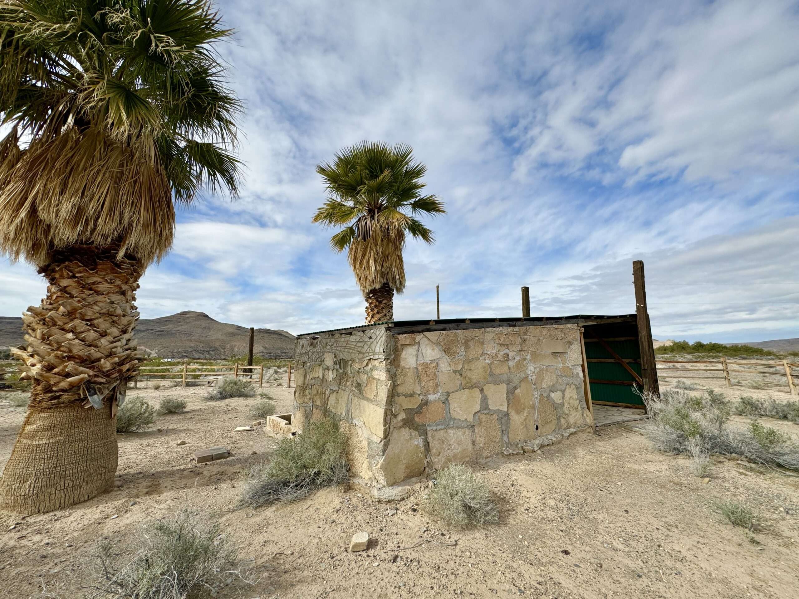

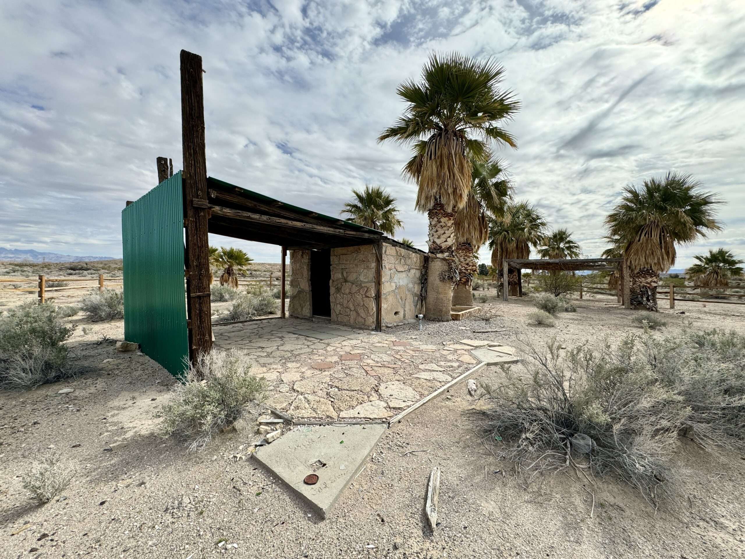
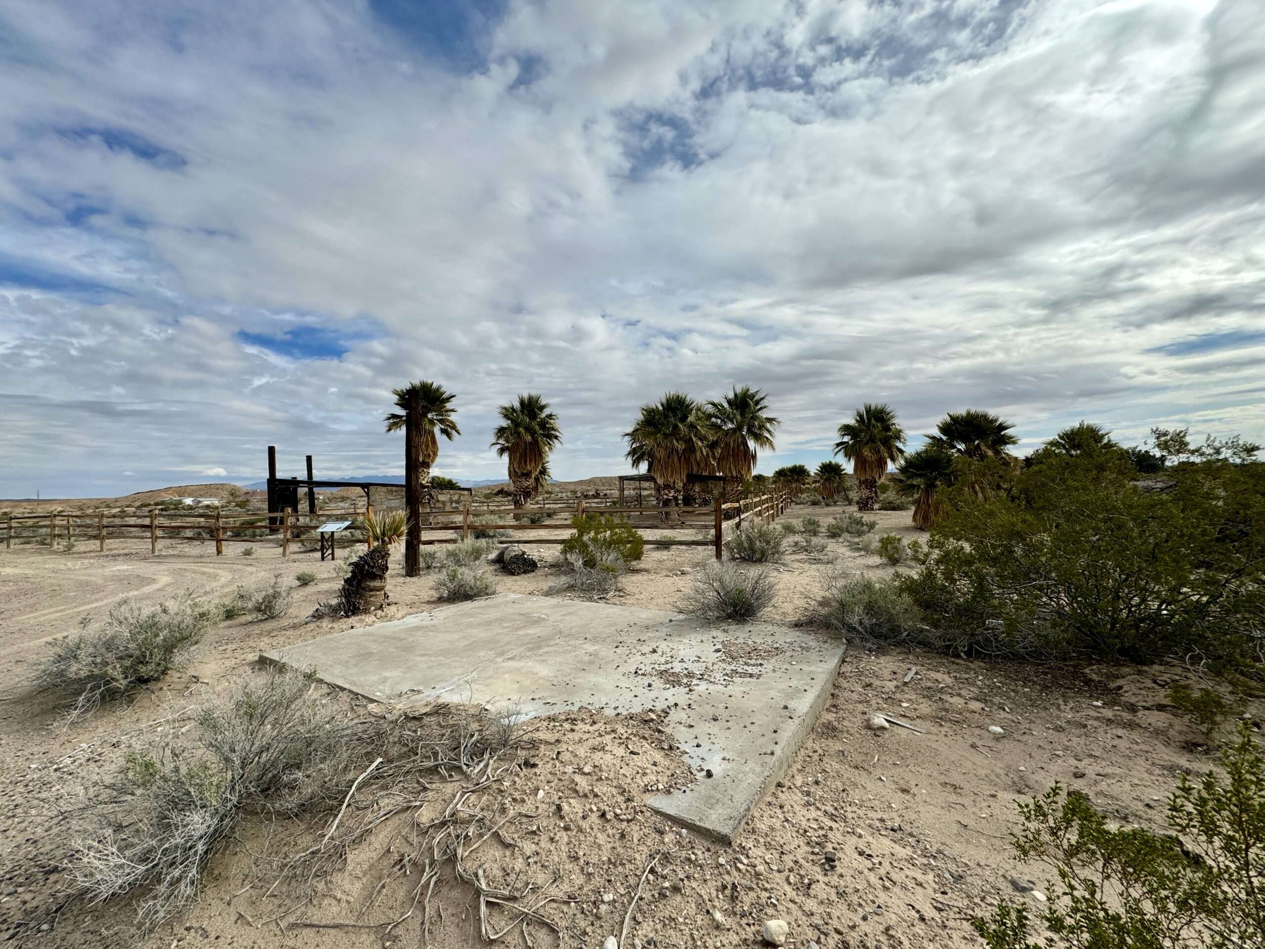
Warm Springs had two other resorts in the 1950s, Warm Springs and Desert Oasis, which included pools, camping, and spas. In 1979, the USFS protected the resorts to preserve habitat. Desert Oasis Warm Springs was popular through the 1980s. The resort closed in 1994 following a fire that destroyed many structures.
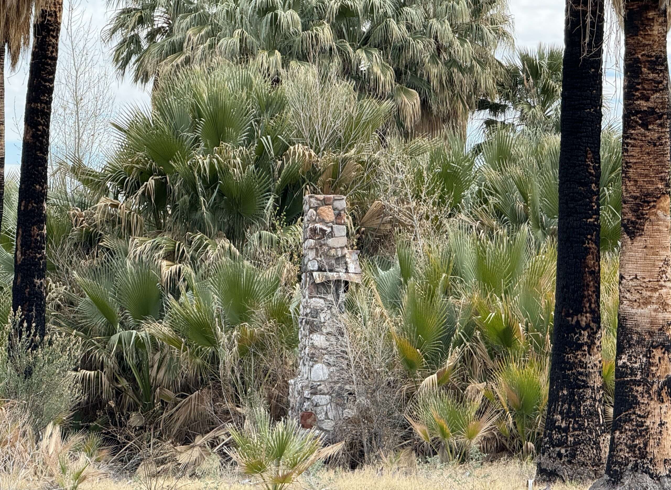
Howard Hughes purchased the Warm Springs Ranch in 1969 after seeing it during a test flight the year before. He became a recluse in the decade before his death. In 1978, the LDS church acquired the property.

Evergreen Flat
Named after the creosote shrubs, Evergreen Flat was a failed agricultural community. In 1920, investors from Bunkerville and Mesquite dug a 900-foot tunnel and ditch from Maynard Lake to their planned development seven miles south. The water never made it through the sandy ditches, dooming the development and draining Maynard Lake.
Evergreen Flat Site


Maynard Lake
I pulled off Highway 93 so we could look for the tunnel at Maynard Lake. I didn’t realize there was a state trooper behind me. He passed, turned on his lights and turned around. Oops.
He was very nice and wanted to ensure we were ok. He thought maybe we lost an animal since we were in the ditch. I explained we were looking for the failed drainage project for a ghost town. Based on the confused look on his face, I think that was the first time he heard that reason for pulling off the road.

Dr. Hoyt Grave
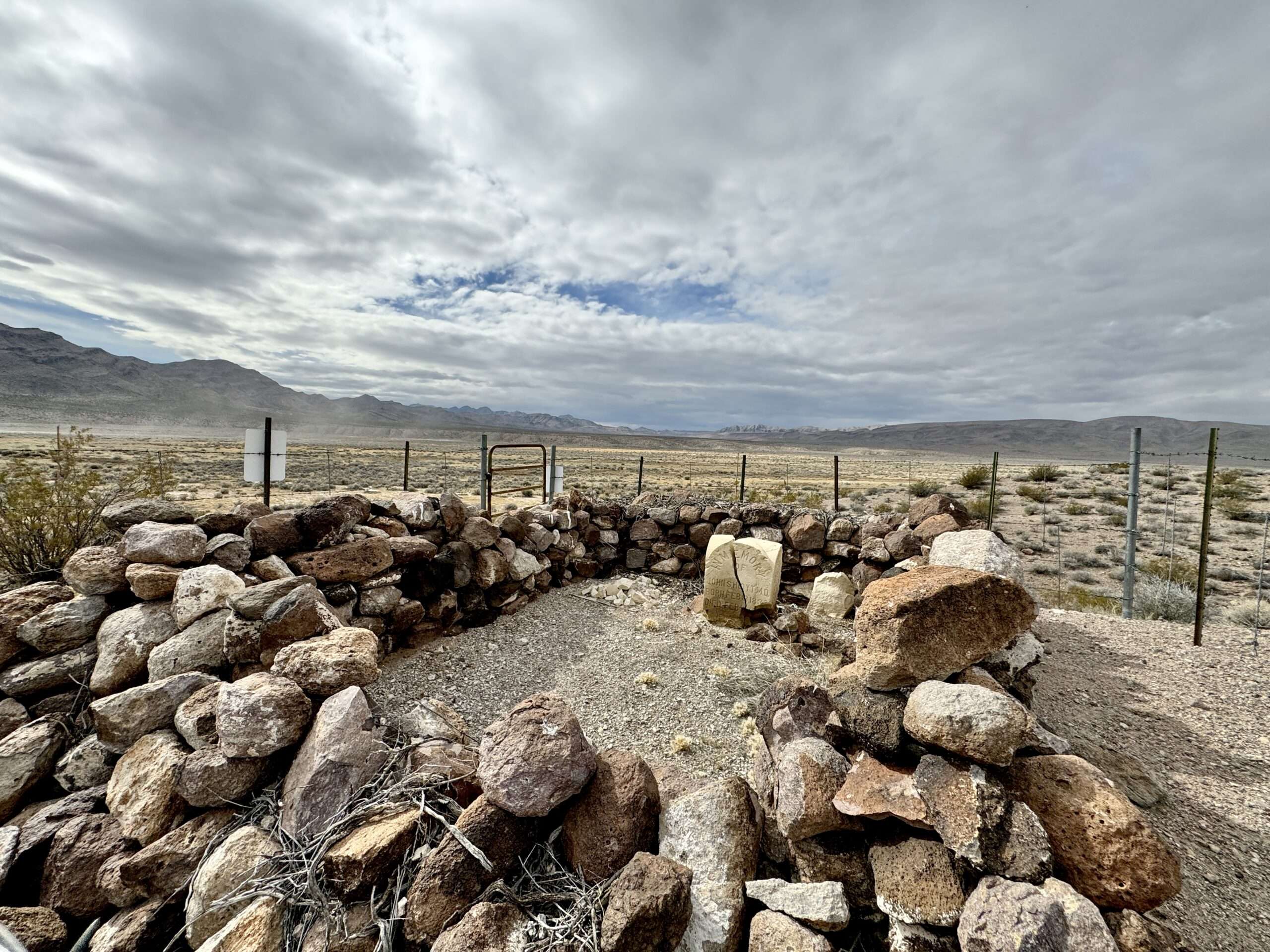
At the south end of Pahranagat Valley is a long grave on top of a hill. A stacked rock wall surrounds the grave. In the center is a headstone cracked down the center.
In memory of John S. Hoyt M.D.
Born Feb 8, 1836
Died Feb 1, 1895
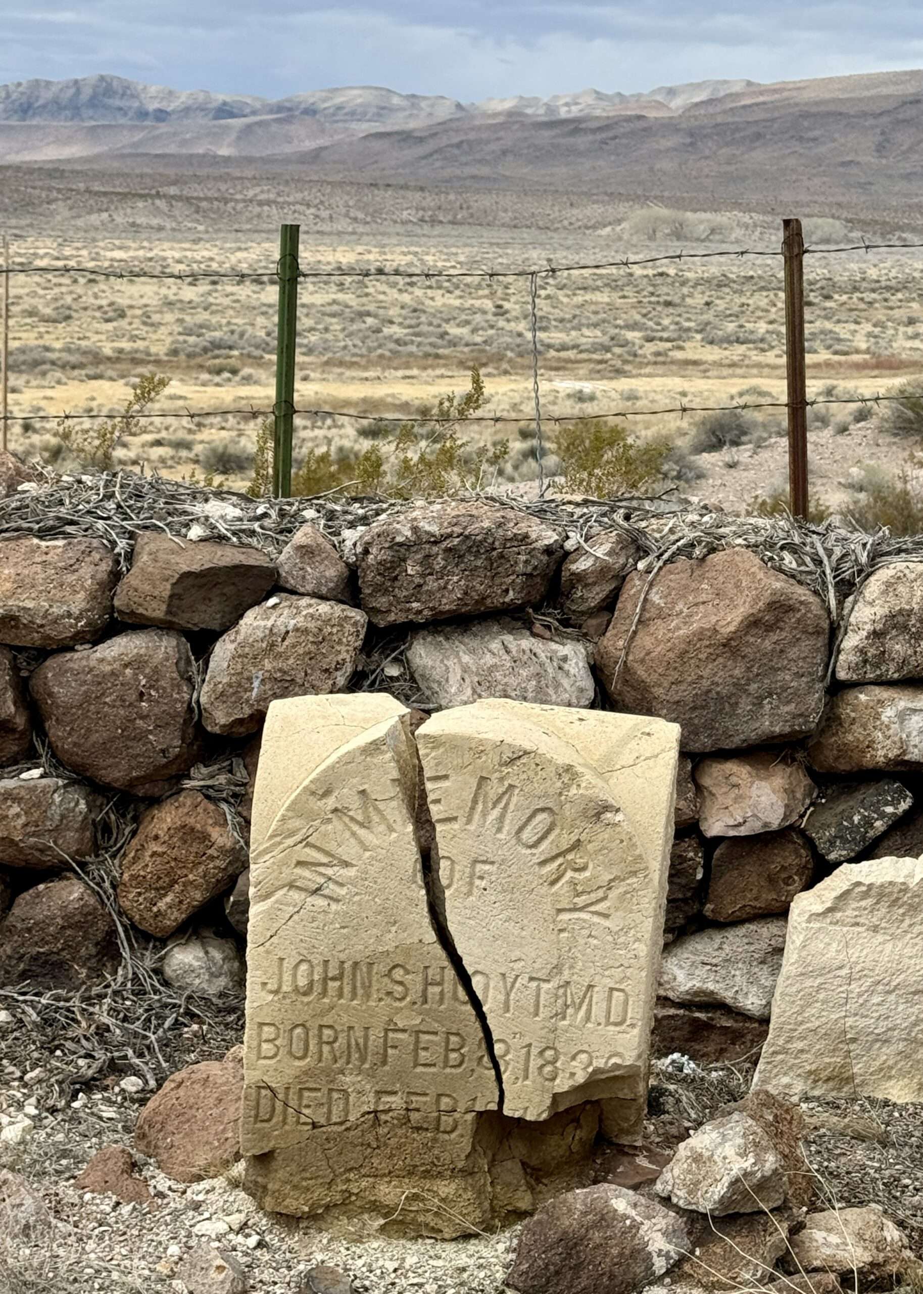
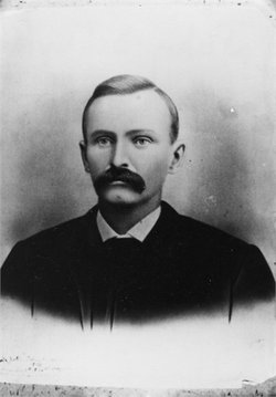
Dr. Hoyt was born and educated on the East Coast. He came from a prominent family, and his relatives included Senator John Sherman and General Sherman. Hoyt attended medical school at Cincinnati Medical Institute. He married Sidney Celeste Davis in 1856, and the couple had four children.
Find a Grave
Bright’s Disease (nephritis) and tuberculosis affected Dr. Hoyt in 1893. He battled illness for two years before succumbing. His many friends well attended the large funeral.
Dave Downer says
Another great read, Tami!
Tami says
Thanks, glad you enjoyed the article.
Linda says
Hi Tami! I’m curious about Riverside ghost town. You mentioned it was a service station. Do you mean it was an actual gas station for cars to fill up, or just a supply/food waystop for travelers? If it was for gasoline, I’m so surprised such an out of the way place, especially during that time period had gasoline available. Interesting. Also curious why you found it creepy after all the ghost towns you’ve seen.
Tami says
I need to visit the museum in Mesquite to get more information. I know it was used for vehicles, but am not sure about earlier travelers. It seems to make some sense with the location between Bunkerville and other Mormon settlements in southern Nevada.
Riverside is all burned out as you saw. The first time I visited there was an older beaten up truck outside the station. And it looked like people were living in vehicles under the bridge. I hjad a feeling that people were watching me and not necessarily happy I was there. This visit no one was around.
Richard Mcgrew says
Another good reading article as usual. Glad you’re safe. Bad driving conditions. Looks like nice petroglphs.
Tami says
Thanks, even with the winter conditions we visited some fun places. Mt. Irish is amazing, 600 acres of petroglyphs.
Richard Mcgrew says
600 acres of petroglyphs,wow. I would love to visit them.
Tami says
Check out the BLM field office, they have guides and books. Sometimes the kiosks at Mt. Irish have them.
Anonymous says
the picture with the name Riverside by it, it has train tracks in the pic that look like standard gauge. know what RR that was?
Tami says
I think you are asking about Hupton; Riverside is right below it. The tracks in the photo were from a mill to the main line. Looking at the state map, is it part of Union Pacific from Moapa to Overton.