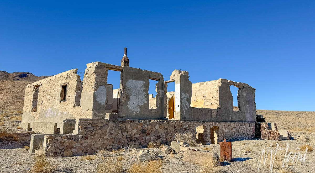
Oh, the dreaded drive between northern and southern Nevada on Highway 95. For years, I hated the drive and only focused on getting through the boring trip as painlessly as possible. Depending on how long it took to refuel, grab food, and use the facilities, I considered it a torturous seven to eight-hour necessity.

Over the last few years of visiting and documenting ghost towns and historical sites, I found so much to explore just off Highway 95. Below is a compilation of things to do along the drive, from north to south. Stops are only a few miles at most off the highway and many add only a few minutes to your trip.

Stops include ghost towns, railroad stops, Pony Express stations, emigrant trails and graves, and quirky Nevada originals. I included my favorite places to grab a bite along the way.

International Car Forest of the Last Church
Two routes from the north connect at Schurz: Highway 50 from Carson City and Highway 95 Alt from Carson Valley—titles in blue link to an entire article about the location. Additional links provide information for sites farther off the road or for those who are a little more adventurous. The interactive ghost town map has over 800 locations in Nevada and California.

Nevada Ghost Towns in the wild are….well, wild! And reaching them can be just as wild of a ride. You must be prepared for the isolated Nevada desert, even traveling on highways and to the managed ghost towns. Learn about how to visit ghost towns safely.
Highway 50: Carson to HWY 95 at Schurz
Empire City

Once thriving, one of the few remnants of Empire City is the cemetery atop a hill overlooking Carson City and the Mexican Mill Supervisor’s house.

In 1855 Nicholaus Ambrose owned and operated a ranch, station stop and tavern named Dutch Nick’s. The site was on the north bank of the Carson River and on a well-traveled emigrant road. Nicholaus moved closer to Virginia City in 1857, opening a tent saloon and boarding house. Later, he constructed a small building, which became the first structure in Gold Hill.
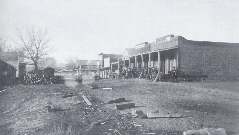
(Photo Credit: WNHPC)
Empire City was three miles east of Carson City, but as the capitol grew it absorbed Empire City.

Summit Station/Halfway House
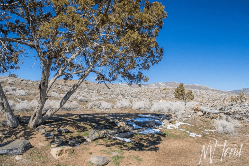
Station stops were located approximately every five miles, combining rest stops, restaurants, restrooms, and sometimes hotels. In 1860, Summit Station began its service. However, it was more commonly called Half-Way House due to its location halfway between Virginia City and Carson City. The station sat on the border of Ormsby County, now Carson City, and Lyon County.
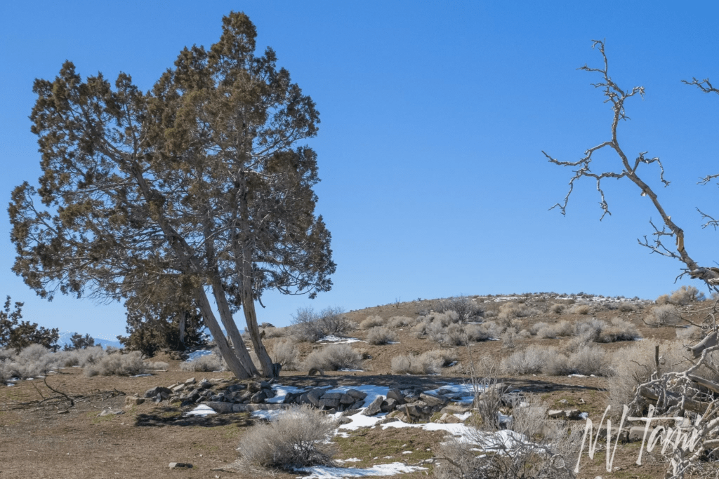
Summit Station was a polling location in 1861 but not large enough to warrant a post office or newspaper. The station was active until 1866 when it was relocated to Mound House.
Mound House Pioneer Grave
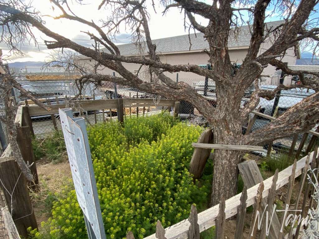
The overgrown grave of emigrant Maria McLain sits in a fenced area of an industrial yard. The wooden headstone has faded with time, but someone placed a sign at the grave.
This marks the site of the Mound House Halfway station between Carson City and Virginia City, named after the grave of Maria A. Kennie Mclain, 1835 – 1871.
Bunny Ranch
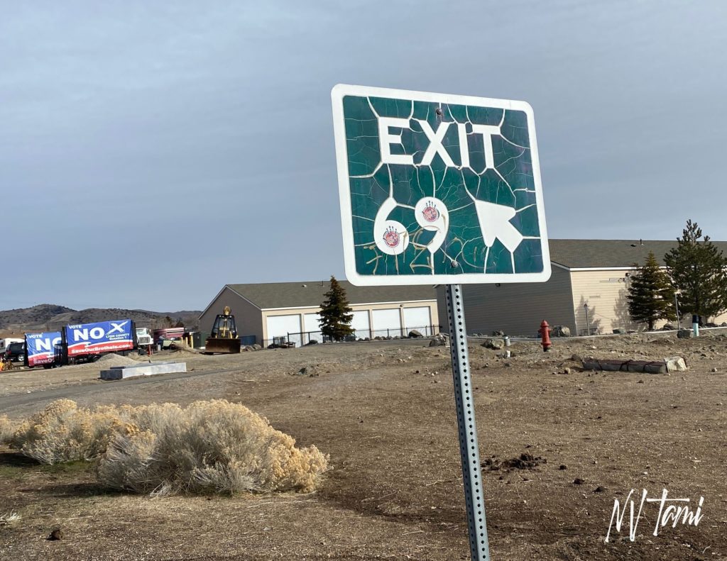
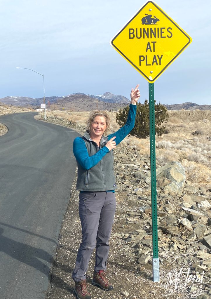
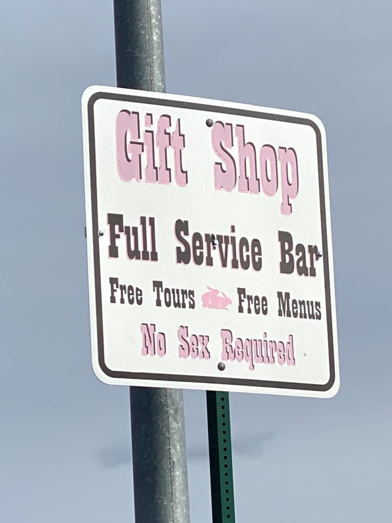
OK, so it isn’t a ghost town or historical site. But the Bunny Ranch has some fun signs.
Dayton
Following the discovery of gold in Chinatown, now Dayton, in 1849, prospectors expanded their search for riches. In 1852, they worked their way up Gold Canyon, leading to the later discovery of the Comstock Lode.

Take a walking tour of the historic downtown, featuring many buildings from the 1860s.
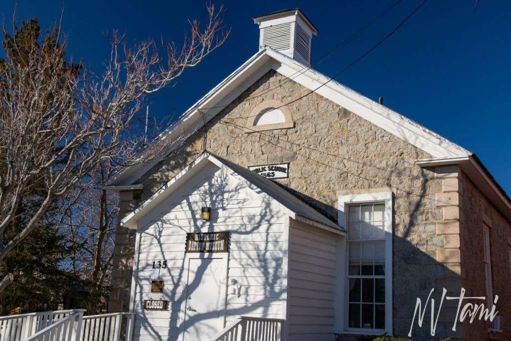
Visit the Dayton Schoolhouse Museum, housed in the 1865 Dayton Grammar School.
Rock Point Mill

Rock Point Mill was constructed in 1861 to process silver ore from Virginia City and Silver City. Charles S. Stevenson, Governor of Nevada, built the mill from 1887-1890. The forty stamp mill was estimated to cost at $75,000, about $3 Million in 2020. In 1877, Rock Point was modernized and expanded to 56 stamps for $175,000, equivalent to over $4M in 2020.

Extensive ruins remind visitors of the importance of milling to the Comstock Lode. Stone retaining walls date from the 1861 mill. Concrete foundations and footings, water storage tank and battery footings date to the second mill.
Adobe Station
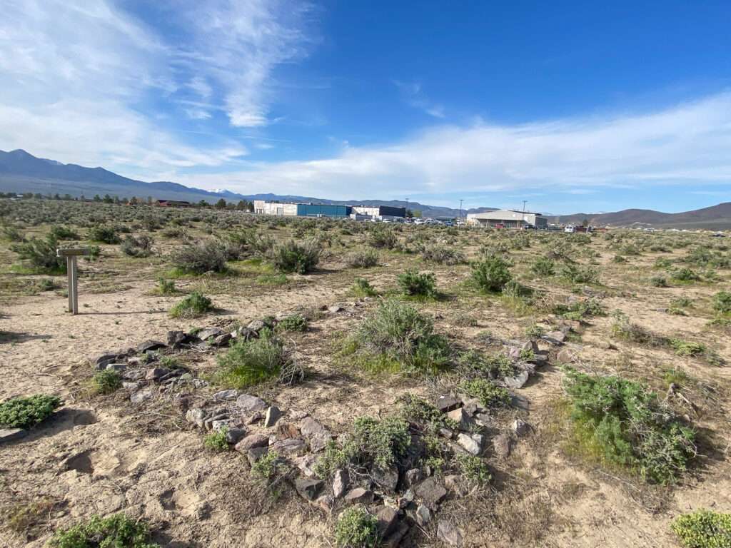
Emigrants first used the Carson River Route in 1848. The Carson River Route traverses the Sierra Nevada Mountains, connecting Carson Valley, Nevada, to goldfields in California. Pioneers searching for an easier route across the treacherous and snowy range developed the trail. Over one hundred seventy years later, you can follow much of the original path. An astute explorer can observe the evidence left by the pioneers.
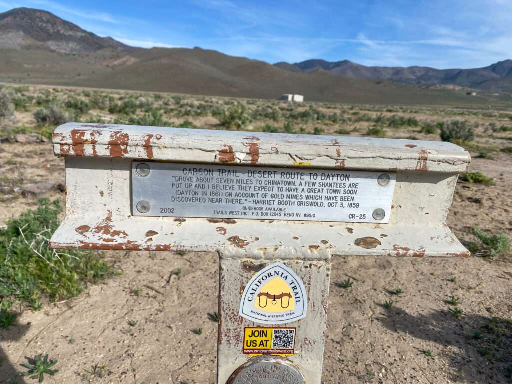
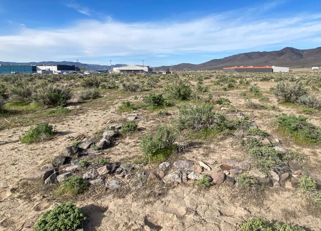
The rock foundations were part of Adobe Station, one of the early stations on the Carson River Route. This section is called the Twenty-six Mile Desert Route.
Desert Well Pony Express Station

Desert Well Station survived over one hundred twenty years. Despite a local historical group’s efforts, in the 1980s, the Pony Express Station was demolished by a local citizen who believed it was a safety hazard. Nothing remains today other than a Nevada historical marker.
Stockton Well

Stockstore Station was constructed in 1865 as a trading post. The Stockton brothers purchased the station soon after its opening and the name was changed to Stockton Well.

The station was important due to its location at the junction of five emigrant trails, including the Carson River Route, Carson Humboldt toll road and Ramsey Cutoff. Stockton Well would become one of the more successful station stops and was the largest station east of Virginia City headed toward Humboldt.
Fort Churchill

Fort Churchill was established on July 1860. The purpose was to protect emigrants headed to California and the Pony Express and telegraph lines. The fort was abandoned in 1869. Many of the building supplies were used to construct Buckland’s Station.

The adobe remains are now Fort Churchill State Historic Park. Remains of soldiers buried at Fort Churchill were reinterred in Carson City but the graves of the Buckland Family remained.
Bucklands Station

In 1859, Samuel S. Buckland settled on the bank of the Carson River. He established a ranch and station stop for the Overland Stage Company. He built the first toll bridge to exist downstream from Genoa.

Buckland’s Station and the “good-sized cabin” was used as a remount station for the Pony Express when they began mail service in 1860. After Fort Churchill was completed in the summer of 1860, the Pony Express station relocated to the fort.

Thompson

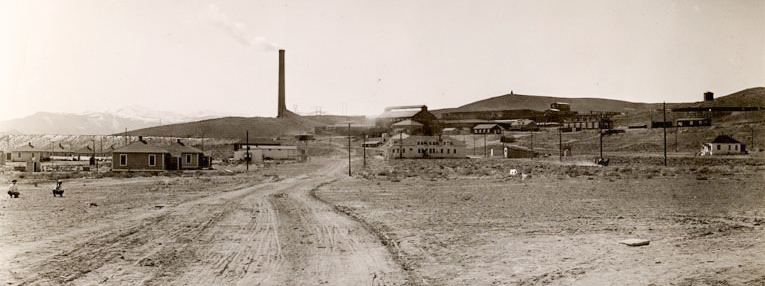
With the Mason and Smith Valley’s mining boom, a smelter was needed to process copper ore. The location was selected at the north end of Mason Valley to the east of the Sigatse Range.
(Photo credit: University of Nevada)
Mason Valley Mines Company began construction in 1910. The first smelter went online in 1912 and could process 700-1000 tons of copper ore per day. A second 500-ton smelter was constructed in 1913-14.

The small town of Thompson was developed to house smelter workers. Originally the town consisted of two blocks of houses. It later grew to contain 350 residents and several blocks of stores, homes, saloons and mechanics shops. A post office was open from June 28, 2911 to June 30, 1920.

(Photo credit: University of Nevada)
Wabuska
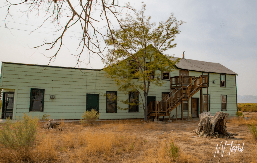
In the early 1870s Wabuska was a freight stop and small settlement. A post office was opened in 1874 to serve the town and residents of north Mason Valley.

With the construction of the Carson and Colorado Railroad in 1881, Wabuska served as the principal supply center for Mason Valley and the surrounding mines. The town grew to include a general store, restaurant and hotel for railway workers.
Highway 95A: Carson Valley to HWY 95 at Schurz
Twelve Mile House

In 1859, Thomas Wheeler built a stage stop on the road from Carson City to Aurora. Many mile houses were named after their location on the road or in relation to other stations. Twelve Mile House is located 12 miles from the prior stage stop in Genoa. Twelve Mile House has also been called Wheeler’s and the Tisdell House.
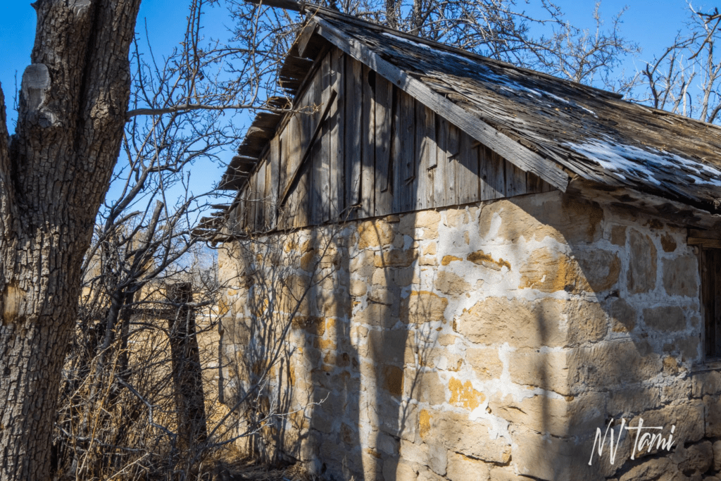
Twelve Mile House is situated at the south end of Carson Valley, where the road begins to climb into the hills. This location is an important crossroads. The road south continued towards Aurora, Bodie and Goldfield. The road to the west continued to Fairview and Woodfords, where it joined the Carson River Route of the emigrant trail. The road north leads to Nevada’s oldest settlement, Genoa, Carson City, and Virginia City.
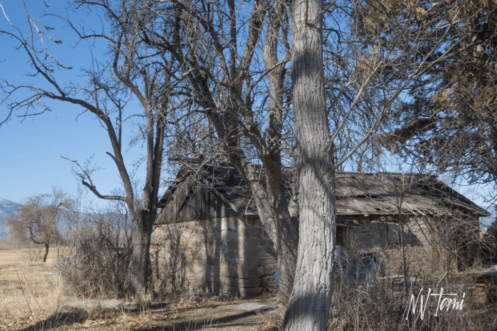
Mile houses and stage stations were important locations where travelers could rest, have a meal and obtain supplies. Stage travel for passengers and light freight continued in some areas of Nevada into the 1900s when automobiles became more available.
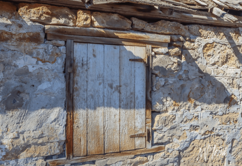
Rodenbaugh
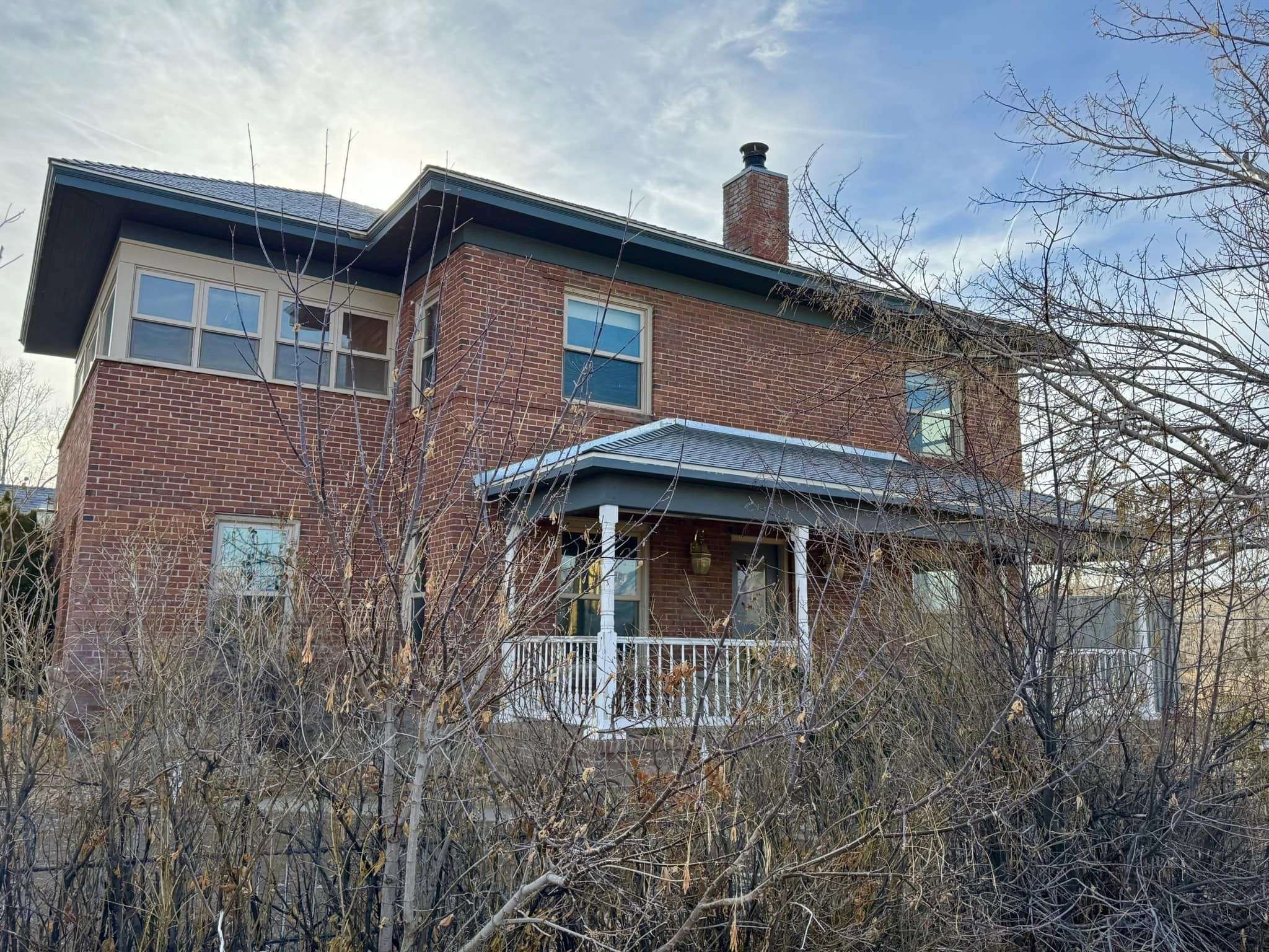
Rodenbaugh Station was established in 1877 to provide travelers on the road from Genoa to Aurora services. The station was active for forty years when it closed in 1917. The beautiful brick station is now a private residence.
Wellington

Drive through Wellington and visit the Smith Valley Historical Society which includes the 1898 Wellington Grammar School and the 1871 Wells Fargo Ticket Office.
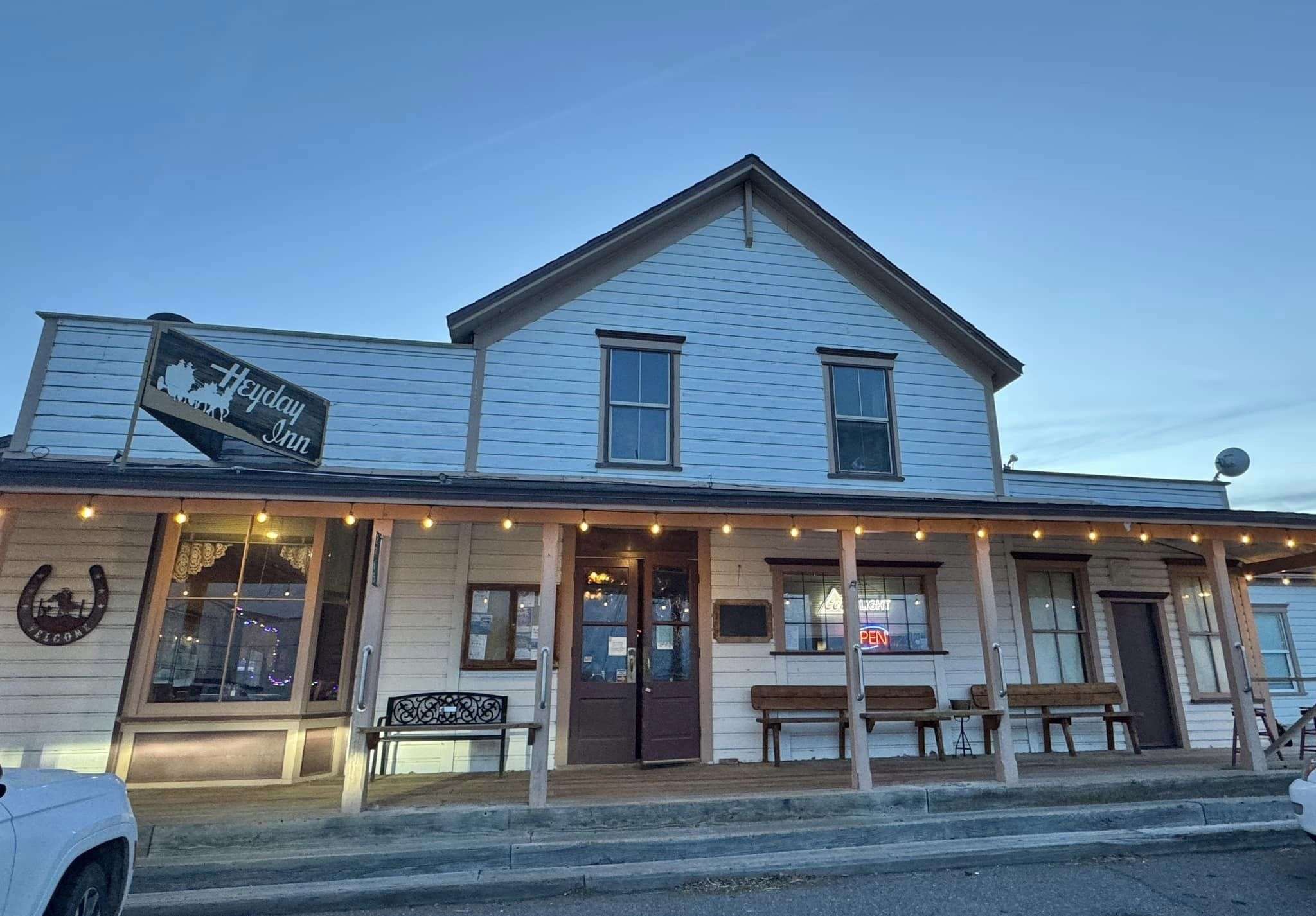
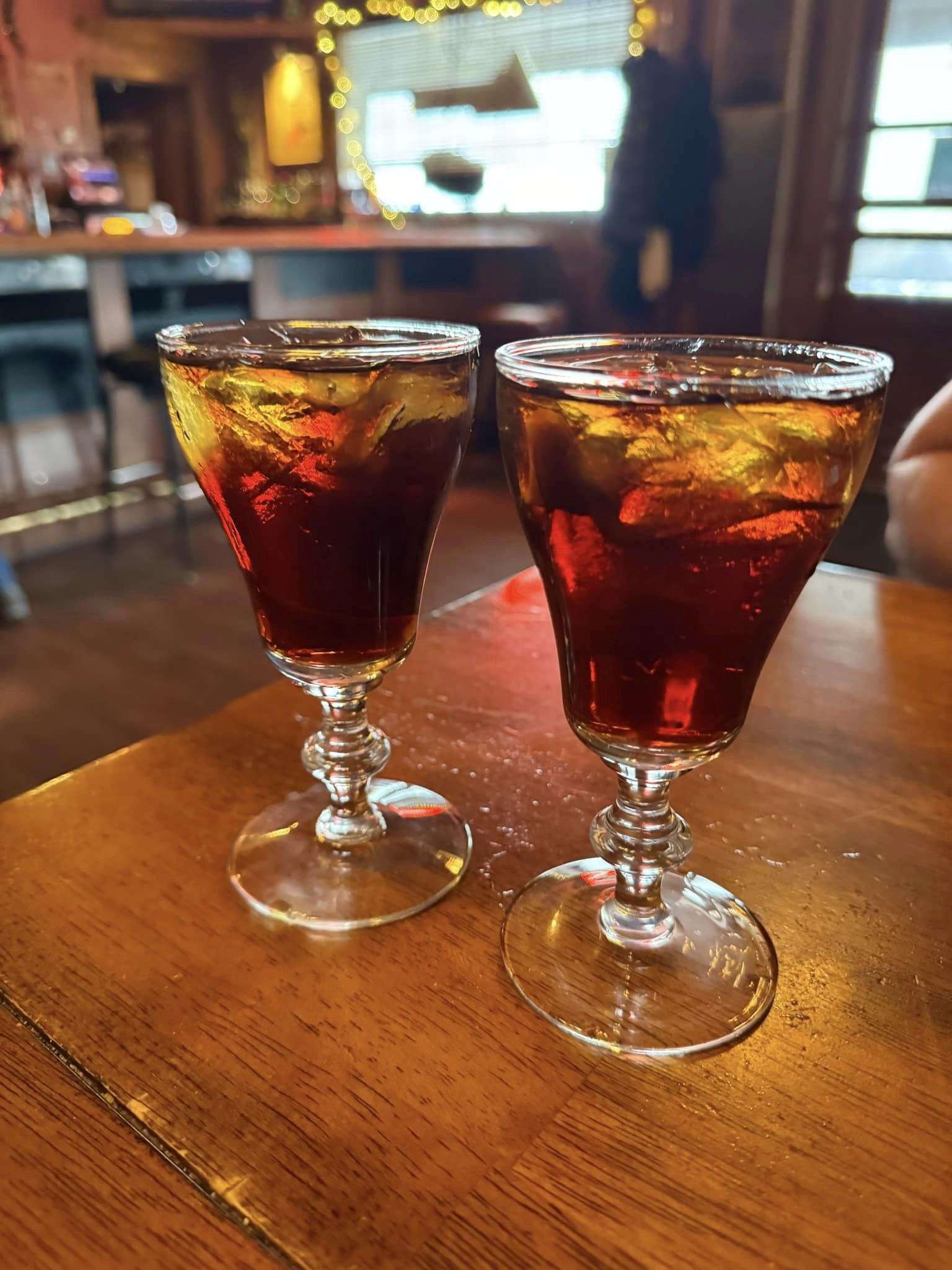
If you are through Wellington in the evening, don’t forget to stop at the Heydey Inn for a traditional Basque Picon and dinner.
Hoye Canyon

Walker River Station is also known as Rissue’s Bridge. It was located south of Smith Valley in beautiful Hoye Canyon. Hoye Canyon is located in Douglas County but accessed via Lyon County. The station was situated on the busy Carson to Aurora Road. In the 1860s Walker River Station served as a supply store and river crossing station across the West Walker River. The station was also an unofficial post office.

Wilson Canyon
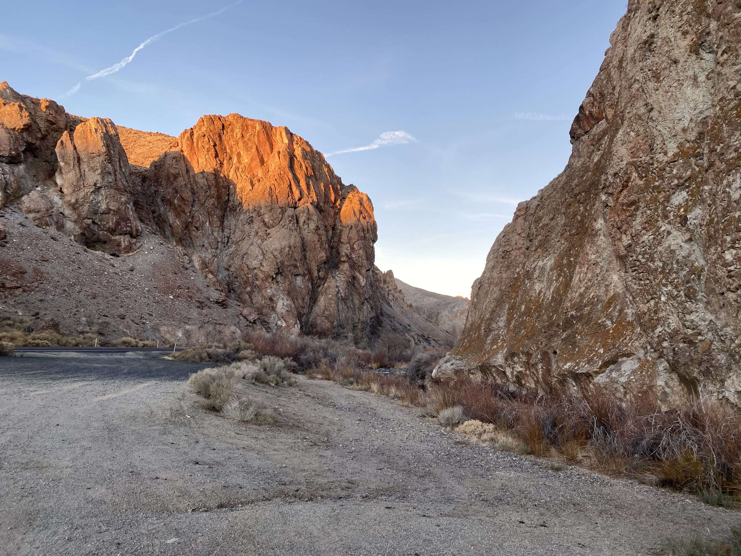
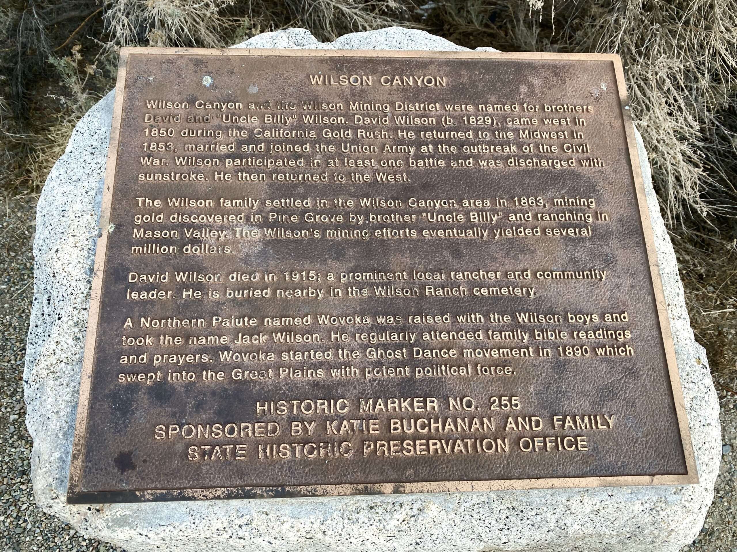
Enjoy the beautiful drive through Wilson Canyon. A historical marker sits on the west entrance of the canyon. William Wilson discovered gold in the Pine Grove Hills, and soon the town of Willsonville was established. The settlement is now known as Pine Grove, one of the best ghost towns in Nevada.
The Nevada Copper Belt Railway connected Ludwig at the north end of Smith Valley to Mason Valley by which transported ore for smelting. The tracks ran through Wilson Canyon.

(Photo credit Yerington Mondays)
NORDYKE
The flour mill at Nordyke was built in 1892 by the Wilson Family. Sadly, much of the mill and machinery was destroyed by fire.

When I visited, the ghost town was open. Recently, No Trespassing signs have been placed at the gate. You can still view the mill from the road.


Nordyke House
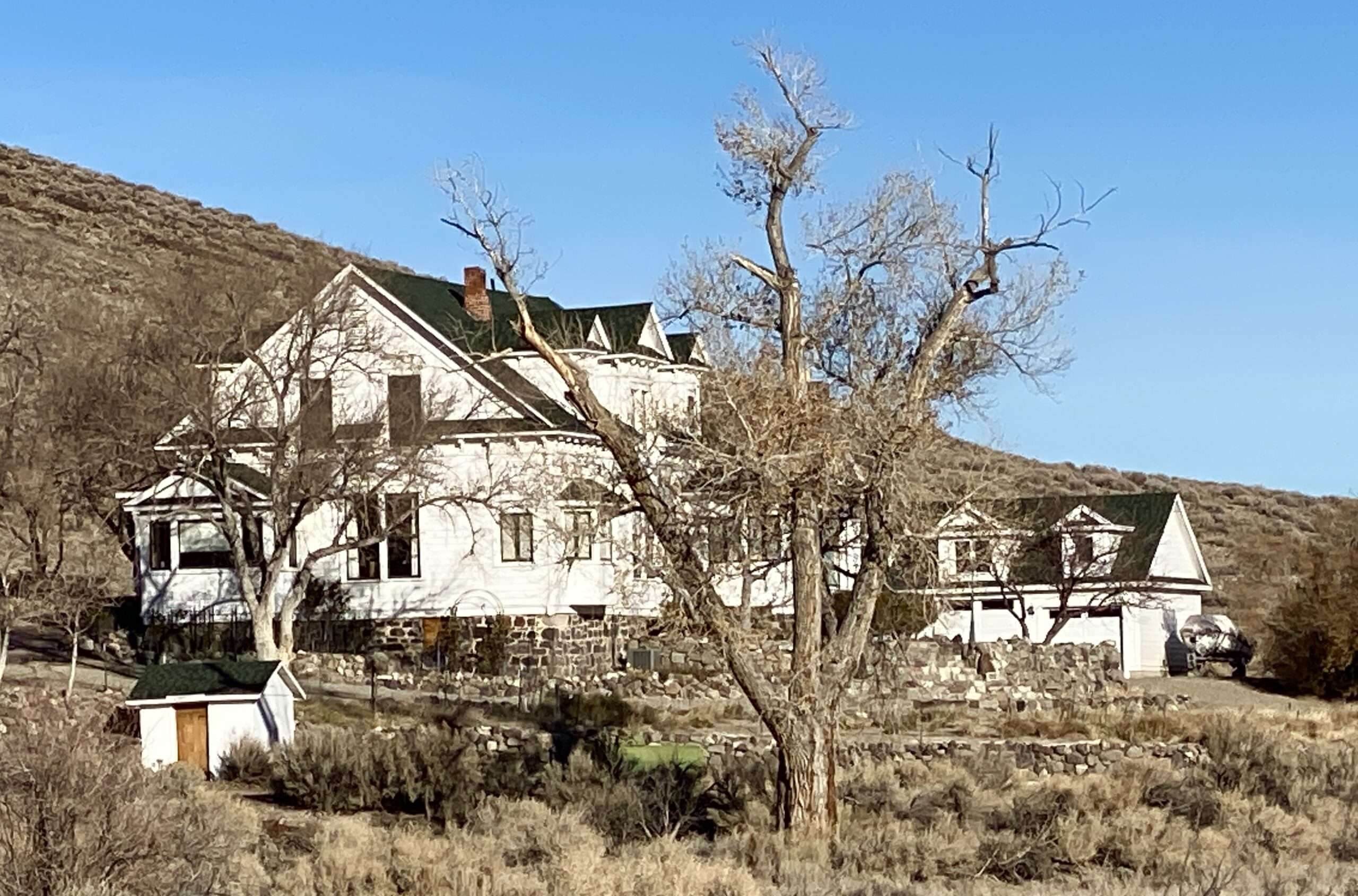
Wilson began constructing his beautiful home in 1903, which took two years to complete. He used recycled lumber from Virginia City. Now known as Nordyke House, the owners refinished it and placed it on the State Register of Historic Places. It remains a private residence.
Highway 95 south from Schurz to Las Vegas
SCHURZ
Schurz was established in 1891. It is home to the Walker River Indian Reservation. The town was named in honor of Carl Schurz, author and Secretary of the Interior. A post office opened on October 21, 1891. Shurz was originally in Esmerelda County but transferred in 1911 with the creation of Mineral County.

(Photo credit: Yale)
The Carson and Colorado Railroad had a station in Schurz by 1883.



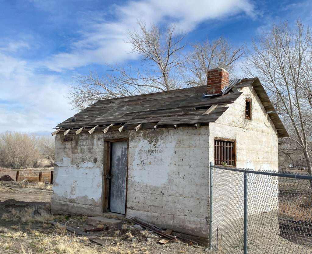
BABBITT

(Photo credit: Localwiki)
Hawthorne Naval Ammunition Depot was created after an explosion in New Jersey in 1926 in which twenty-one people were killed and fifty-three were seriously injured. The Navy wanted a remote site within 1,000 miles of the Pacific coast and chose Hawthorne. Construction of HNAD began in July 1928, and they received their first munitions in 1930.
To support employees at the Hawthorne Naval Ammunition Depot, Babbitt was created in 1941.
Residences
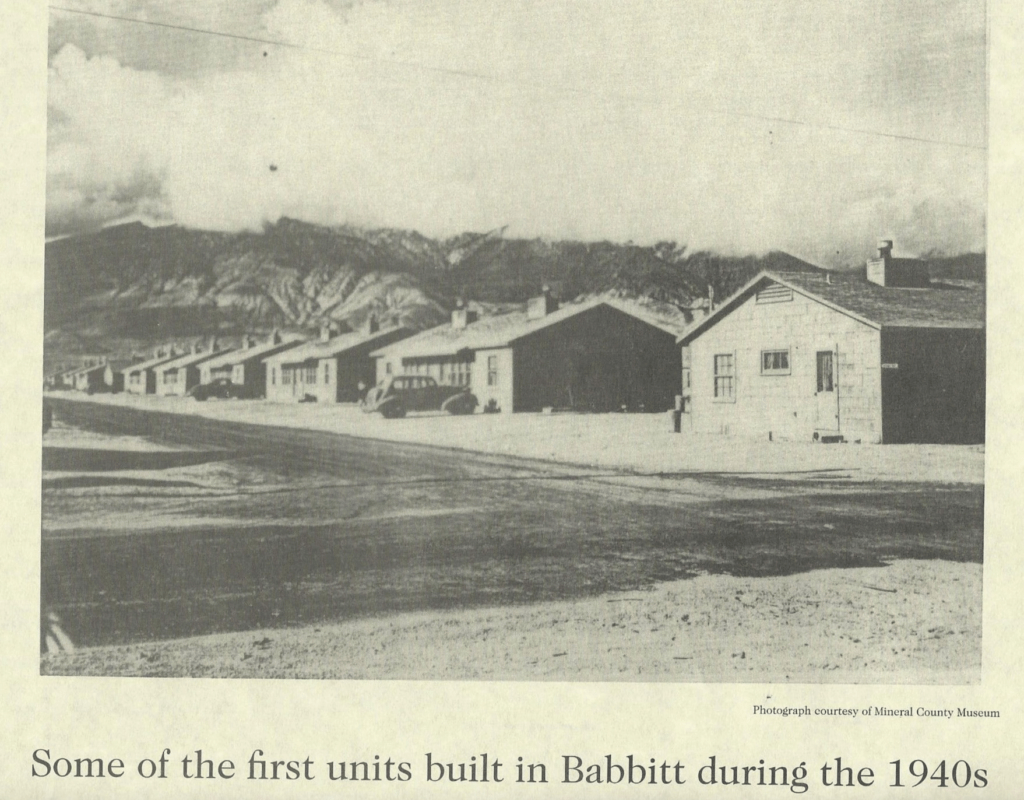
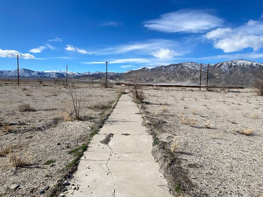
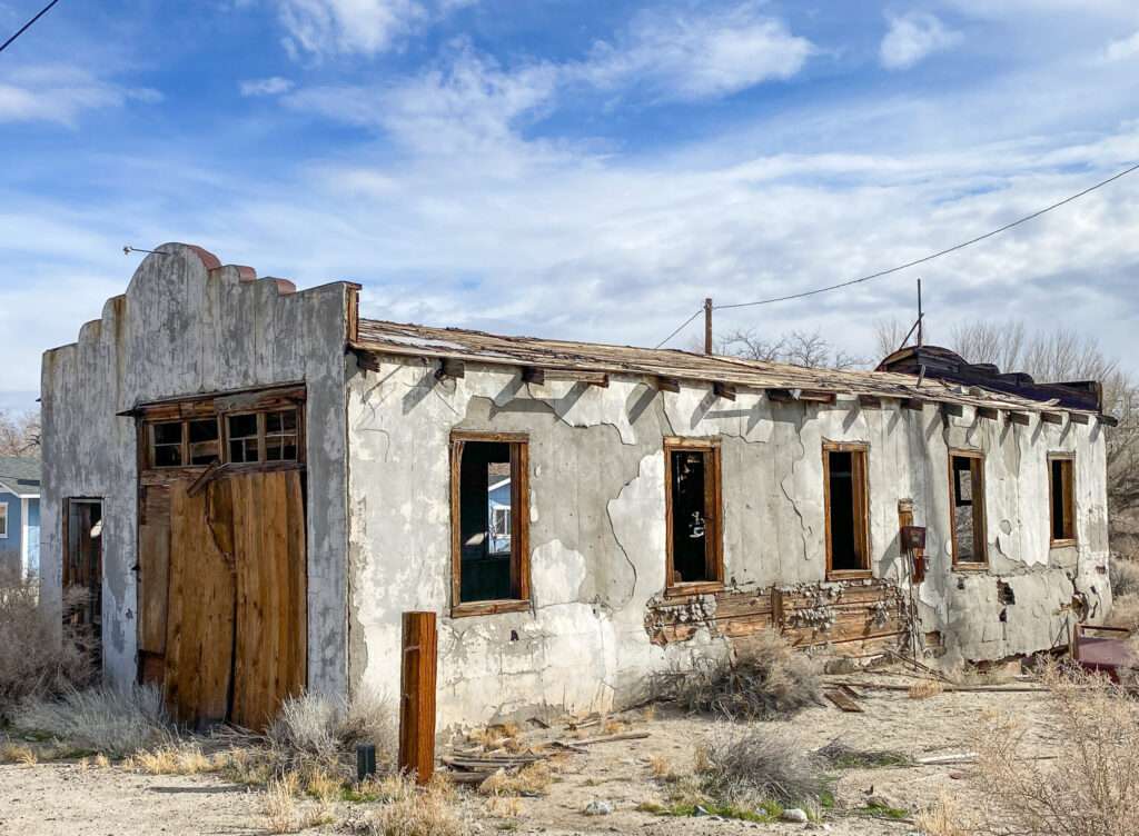
The Navy built the first block of twenty-five duplexes in 1914. In 1942, they made 400 more duplexes and another 487 in 1943. Each duplex contained four bedrooms, two bathrooms, two kitchens and living rooms. Some single homes existed with one to three-bedroom layouts. At the height, Babbit consisted of 40 blocks and 584 duplexes with a total of 2,590 rooms.
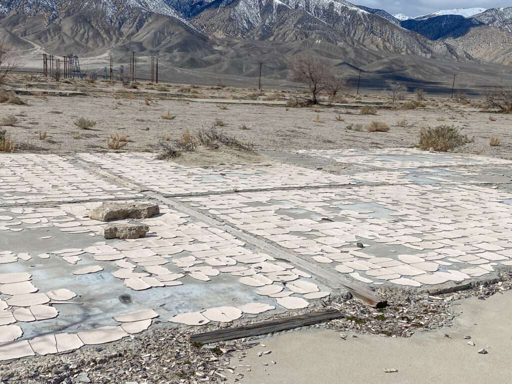
Following the end of the Korean War, many duplexes were relocated. “Babbitt Houses” were used in locations such as Hawthorne, the Walker River Indian Reservation and Tonopah. Once you know about “Babbitt Houses,” you will see them everywhere in rural Nevada.
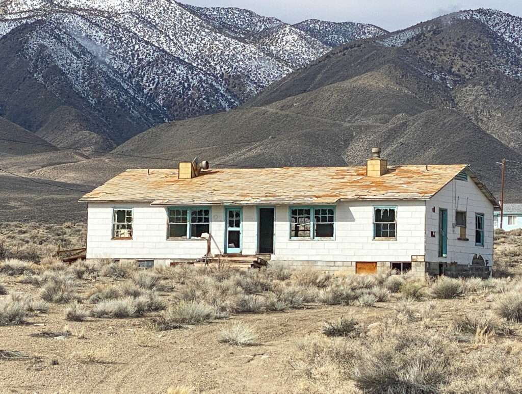
The last residents moved in 1987; only the school and bowling alley remained.
Town Center
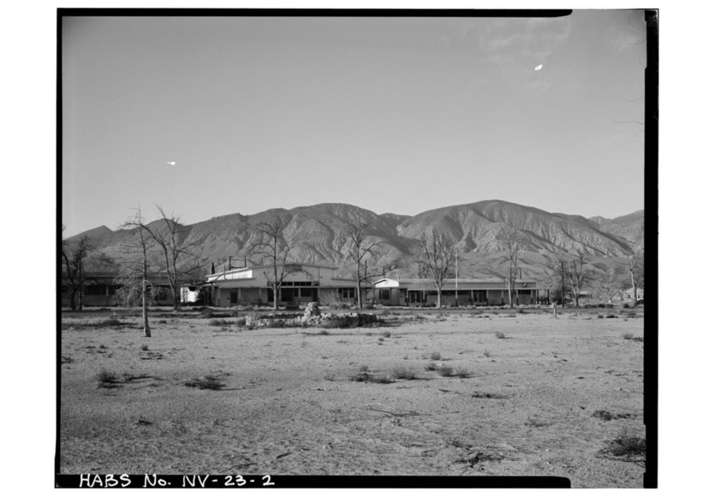
Babbitt had everything residents needed: grocery store, butcher, pharmacy, post office, barber, and school. For entertainment, Babbit had a movie theater, soda fountain, bowling alley, golf course, and tennis and basketball courts.

Streets

Bowling Alley

(Photo credit: Mineral County High School)
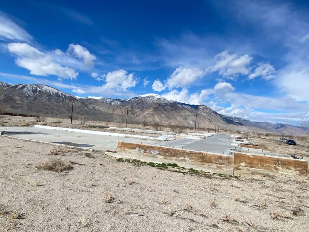
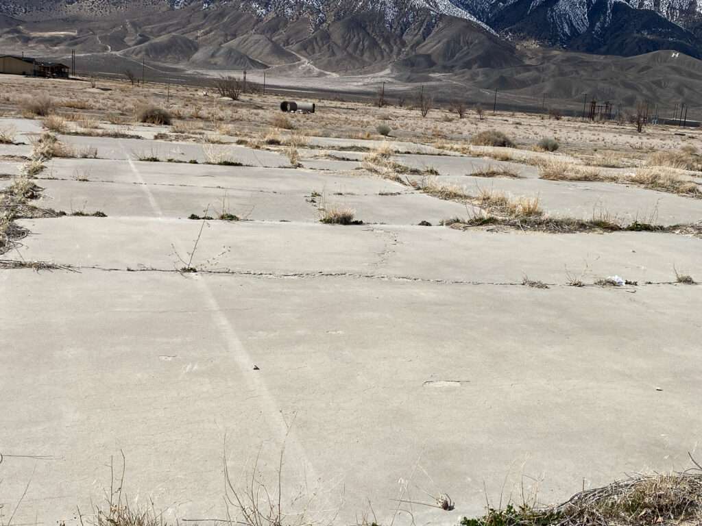
Tennis and Basketball courts
The courts are now broken concrete, but you can still see the lines.
THORNE
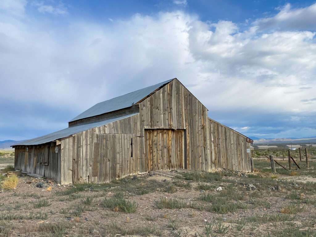
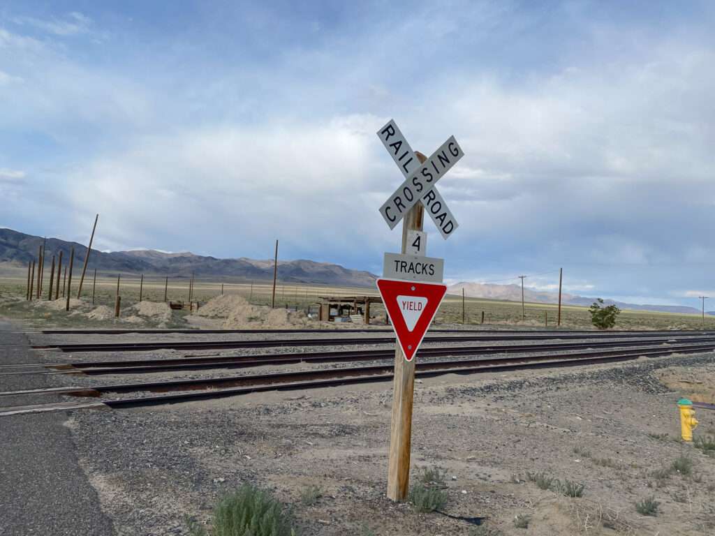
Thorne was born when Southern Pacific purchased and realigned the Carson & Colorado Railroad. While the town never grew beyond a “2 saloon town” it played a critical role in mining in Nevada and transportation to Bodie and Aurora. During World War II, Thorne supplied the United States military with bombs, rockets, torpedos, depth charges and ammunition.
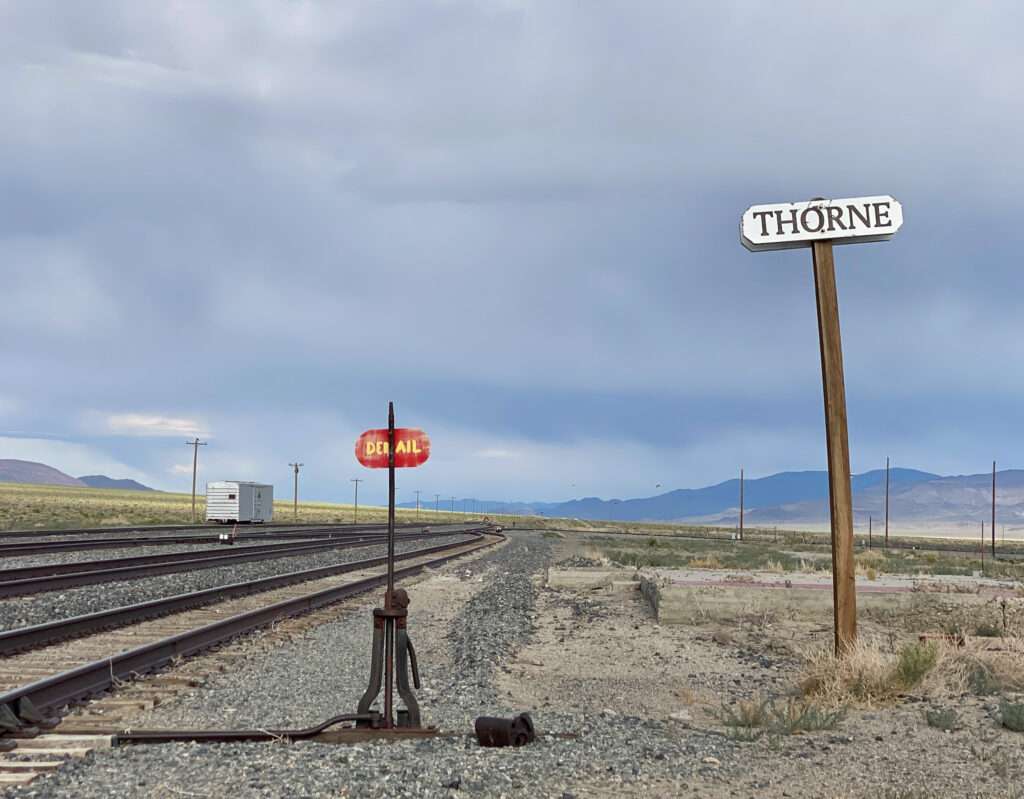
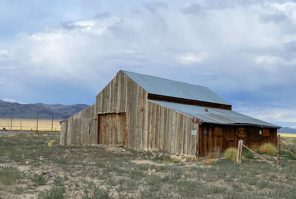
A large barn marks the spot; some say it was used to house the Bodie stage. Foundations and the railroad sign mark the location of the station. You can visit the site where federal agents enforcing prohibition were escorted out of the area in anticipation of Independence Day festivities.
Hawthorne
Veterans Park

Hawthorne is the only place I have seen bomb windmills!


Hawthorne always flies a Holiday Flag and is nicknamed “America’s Patriotic Home.”

Esmerelda County Courthouse

The beautiful courthouse in Hawthorne served as the county seat for Esmerelda County and later Mineral County. It was built in 1883 when Esmerelda County moved from Aurora to Hawthorne. The county seat was moved to Goldfield in 1907. With the creation of Mineral County in 1911, the courthouse became the only one in Nevada to serve two counties. The courthouse remained in use until 1969.
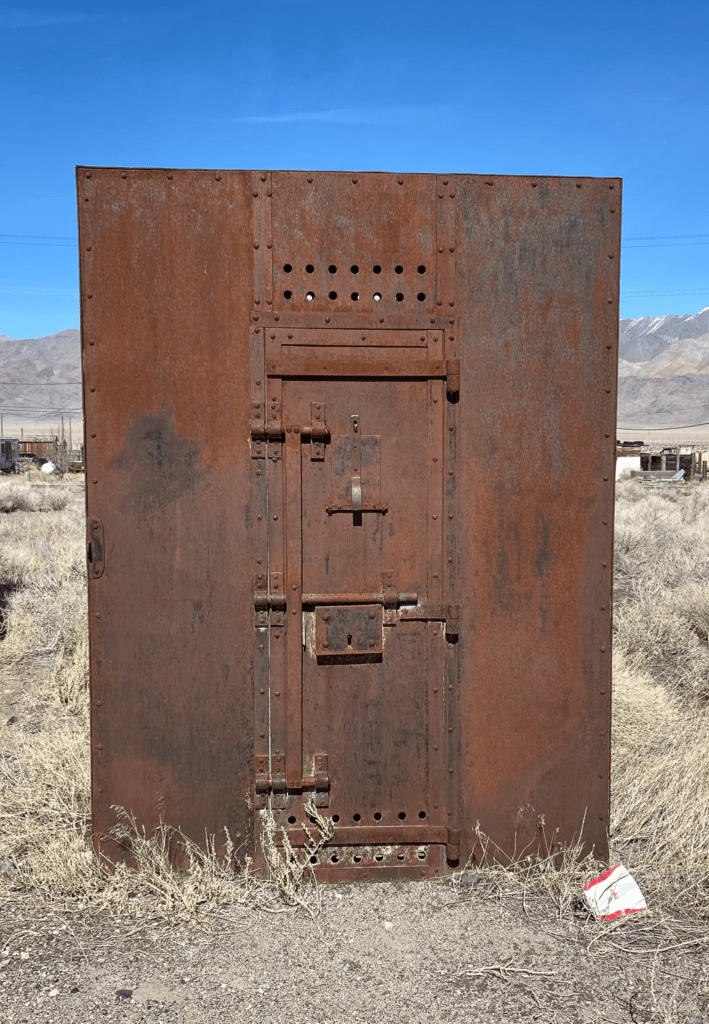
Rawhide Jail

Sadly, aside from the cemetery, all the remains of the town of Rawhide is the jail. Before they obliterated the town, the jail was relocated to Hawthorne.

NEVADA ORDNANCE MUSEUM
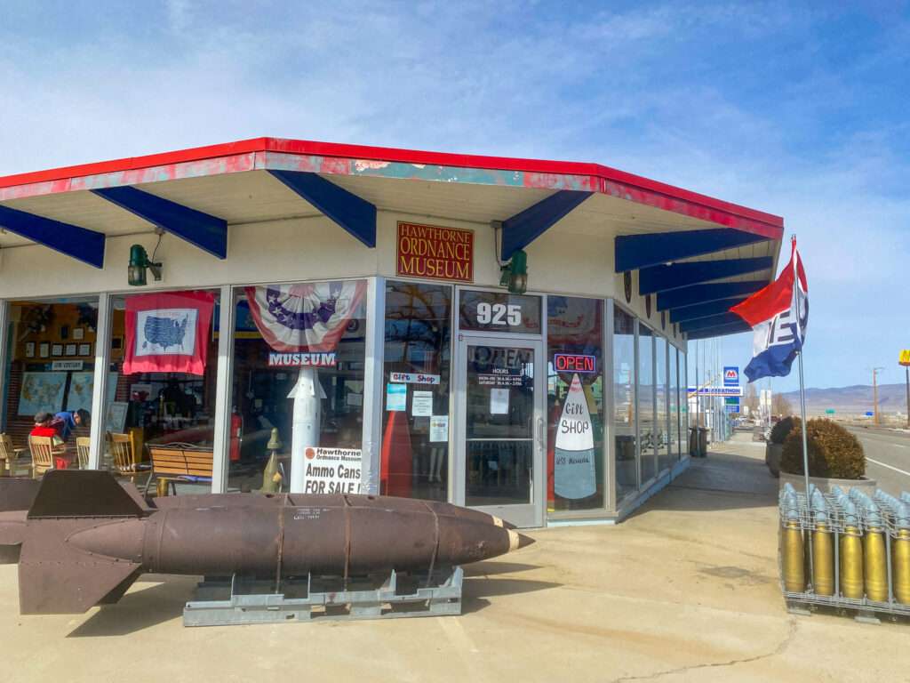
The museum is impressive! I am not a military weapons buff, but the displays are fascinating. They had ordinances from every branch of service, along with displays on military life. The docents are what make the museum. They were so knowledgeable and helpful, and they were the most retired military.


The mission of the Hawthorne Ordnance Museum is to collect, preserve and exhibit in a patriotic and educational environment, those items that have had a significant impact on the freedom of our country. We focus on the Hawthorne Ammunition Depot for its on-going contribution and support of the United States Armed Forces.
Hawthorne Ordnance Museum
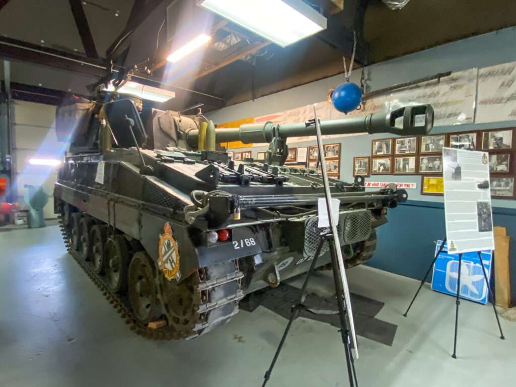
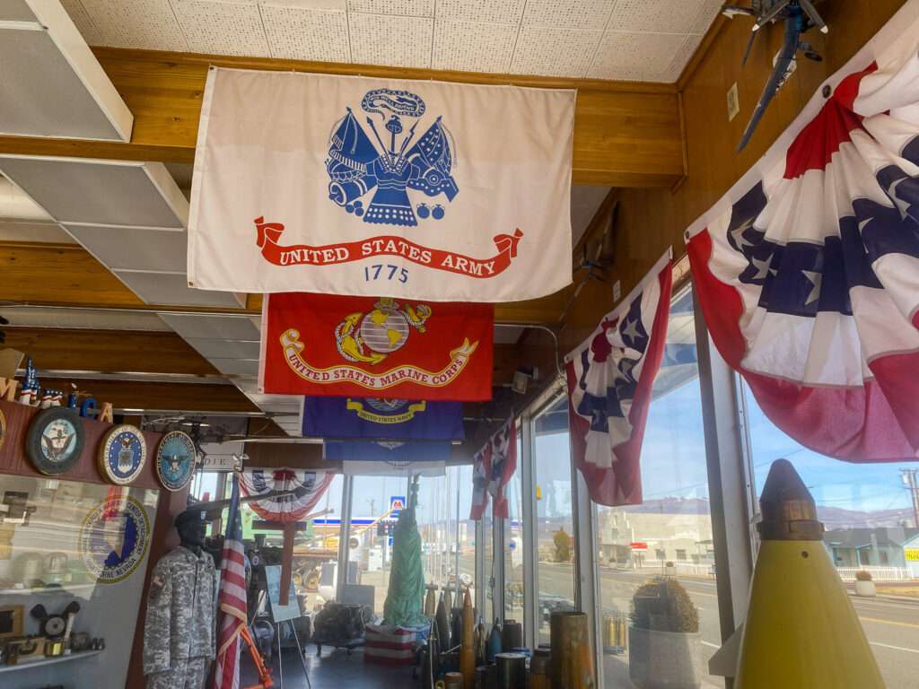
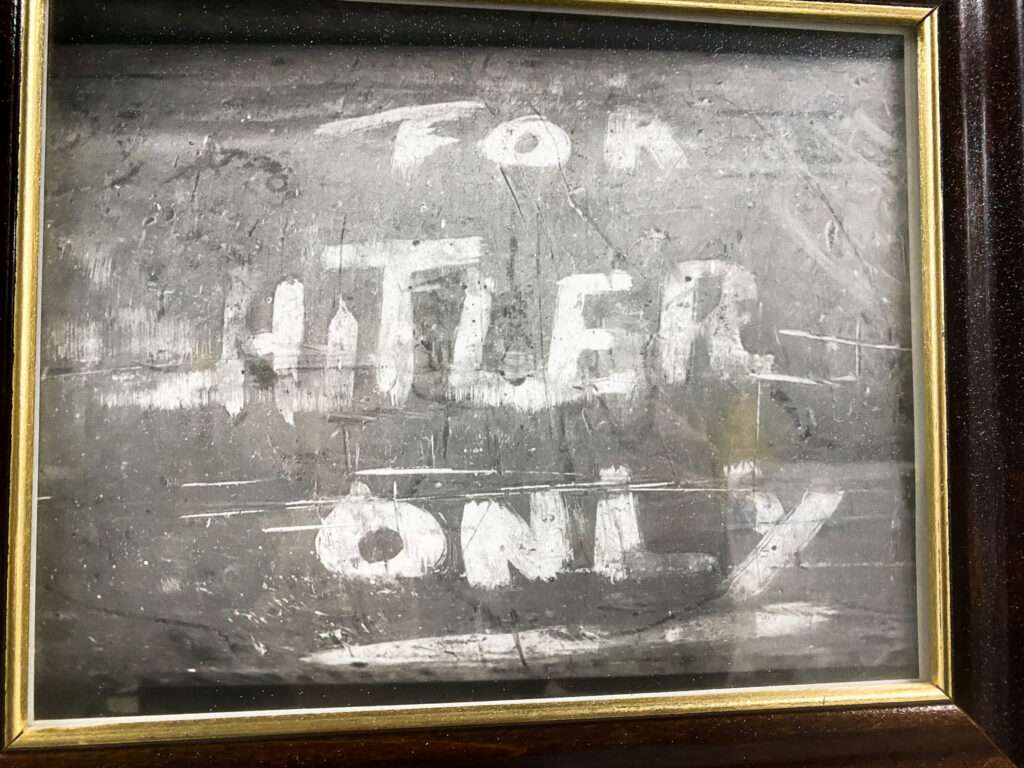
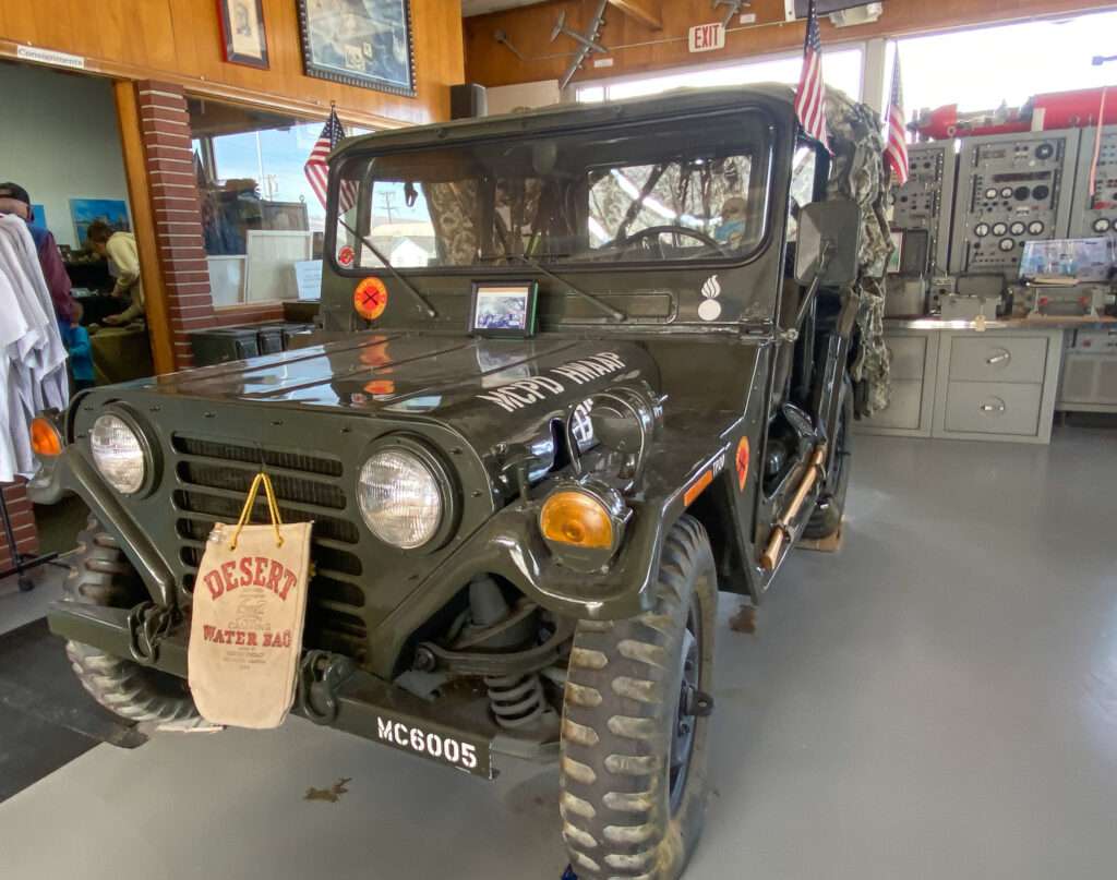
The Hawthorne Ordnance Museum is free to visit but accepts donations. Call for current hours at 775-945-5400 or email at ordnancemuseum@yahoo.com.
MINERAL COUNTY, NEVADA MUSEUM

Welcome to the wild west as it was. Explore the world of gold mines and boom towns.
Mineral County Museum
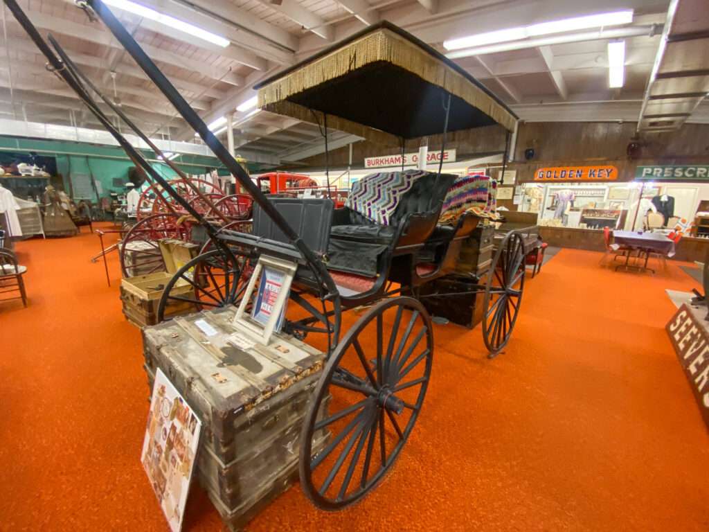
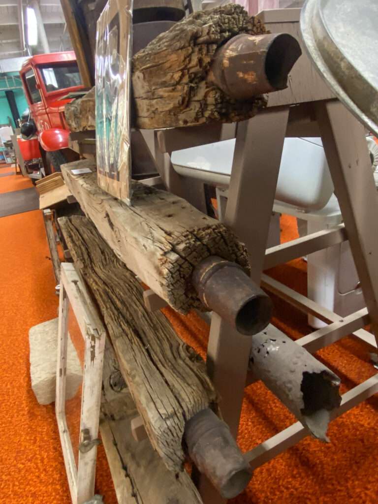
The Mineral County Museum is like stepping back into the history of my beloved ghost towns. The facility is full of every imaginable piece of past life. You could spend an entire day and still not see it all. My favorite was the water pipes from Aurora. I had no idea they were hollowed-out wood beams with metal connectors.
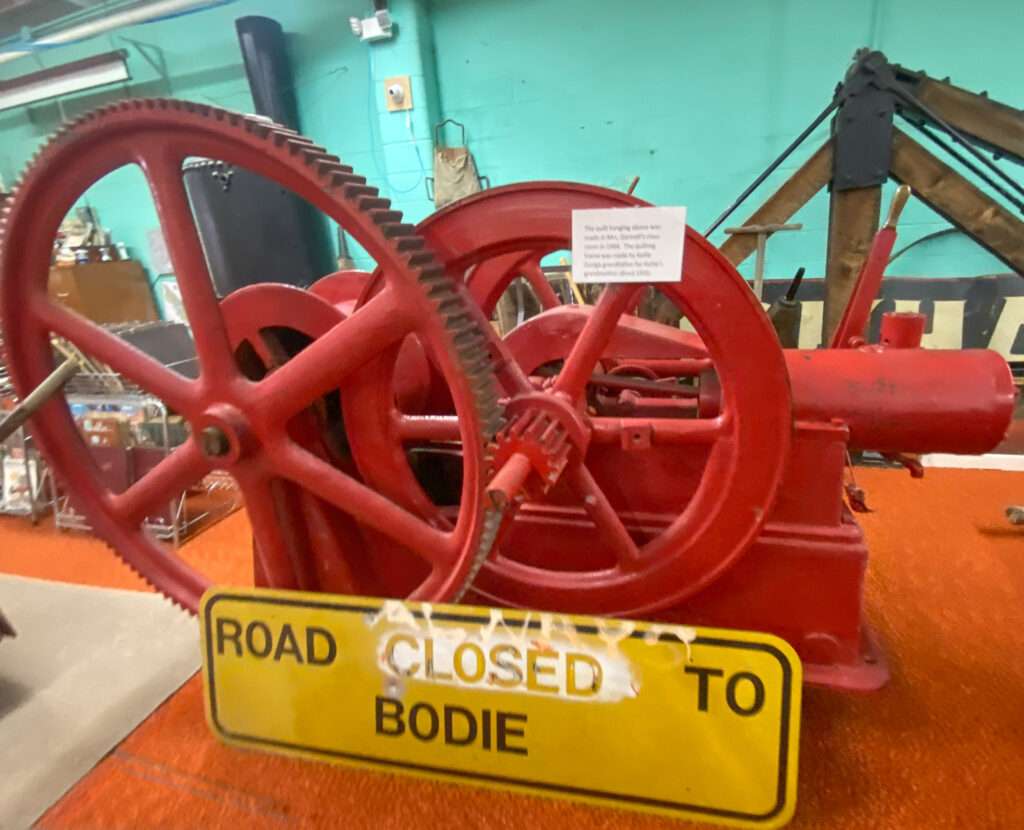
The Mineral County Museum is open from 11 am-4 pm Monday through Saturday. 775-945-5142.
Hawthorne Chinese Cemetery

Miners’ unions prohibited the Chinese from working underground, so they worked as laborers, woodcutters, laundrymen, and servants, facing more discrimination than any other minority group. In some towns, the Chinese built underground cities and stayed out of sight during the day to avoid persecution.
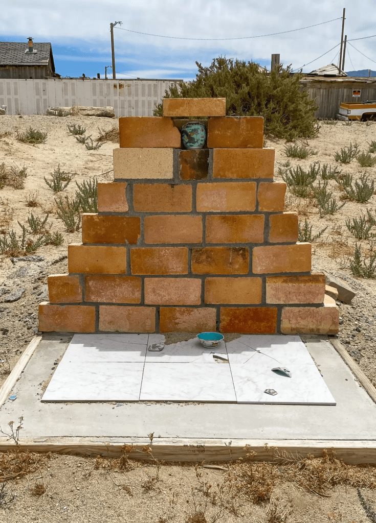
Chinese laborers made up ninety percent of the builders of the Central Pacific Railroad. The workers leveled land, built bridges, and laid track. They lived in tent towns and were paid from a train car accompanied by other cars providing gambling and female (ahem!) companionship. After completing the transcontinental railroad, many went to work on smaller narrow gauge lines.

The narrow-gauge Carson and Colorado Railway ran from Moundhouse, Nevada, to Keeler, California, south of Cerro Gorgo Mines. Construction began on May 31, 1880, and the first train arrived at Keeler on August 1, 1883. The route ran on the east side of Walker Lake and then turned southwest towards Luning and Candelaria. It is unknown how many Chinese workers died during the construction of the railroad lines, but the numbers were in the thousands.

Hawthorne had a good-sized Chinatown. Most of the men were single, or their wives remained in China. Chinatown had its own cemetery, possibly with hundreds of graves. Unfortunately, details were lost to time, but human remains detection dogs identified several graves.
Old Nevada pizza

Hawthorne has amazing pizza! If I’m traveling through, we will call in a pizza and pick it up on the way through. I love the Wicked Hawaiin, which has white sauce, Canadian bacon, bacon, garlic chicken, and pineapple topped with a honey garlic sauce. Yummy!
More places to visit around Hawthorne
Chinese Grave
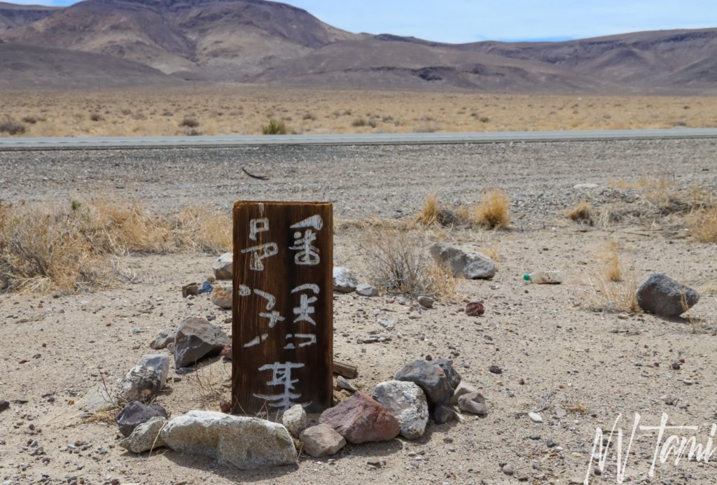
Only an astute observer will notice a lone wooden headstone along Highway 95 between Hawthorne and Luning. The wood fades into the Nevada desert, making it challenging to locate. On the backside of the marker, facing away from the highway is engraved with Chinese characters, “Grave of (unknown) from Poon Yup.” Sadly, the unidentified man was buried where he fell and never moved to the Chinese cemetery in Hawthorne.
LUNING
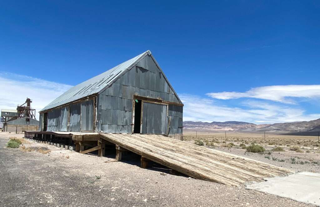
Luning began as Deep Wells and a stage stop on the Colombus to Wadsworth freight line. With the arrival of the Carson and Colorado Railroad, the name changed to Luning. The town became a shipping hub for mining in the Santa Fe district. Ore from Gabbs was shipped to Luning through the 1950s. As with Mina, the town declined with the end of the railroad in 1989.
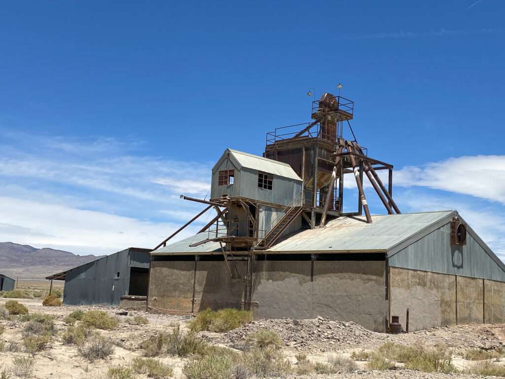
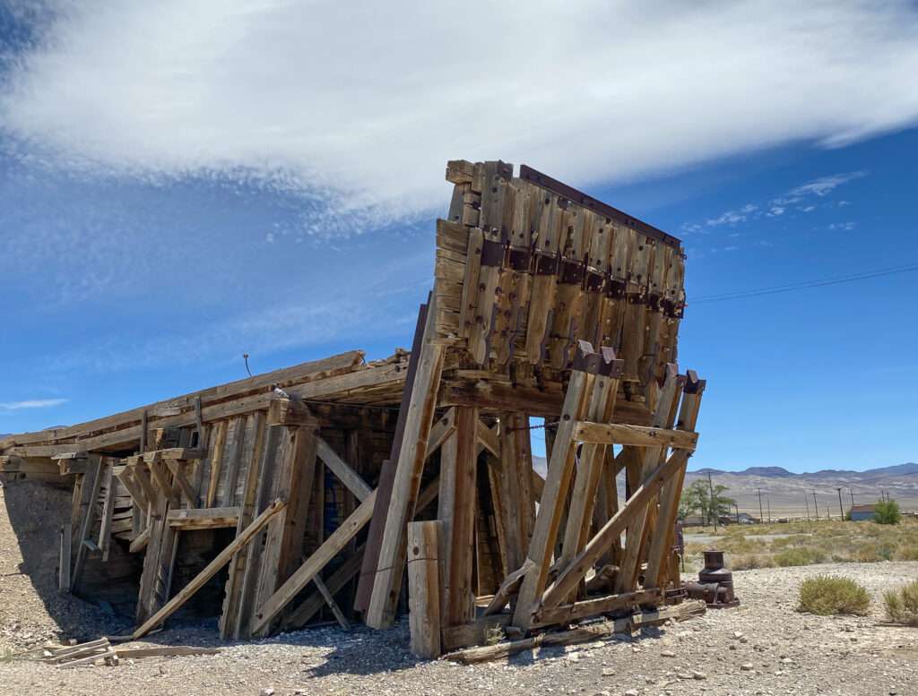
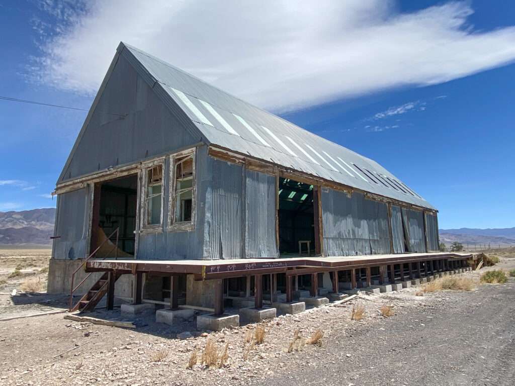
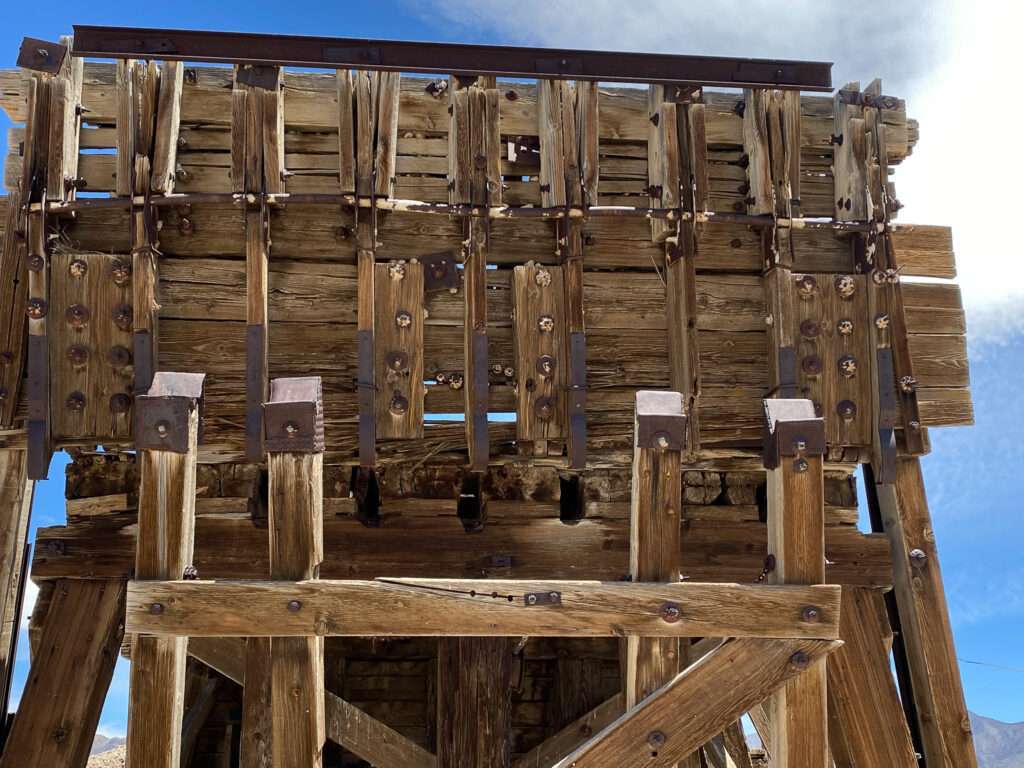
You can still see the railroad route through Luning.
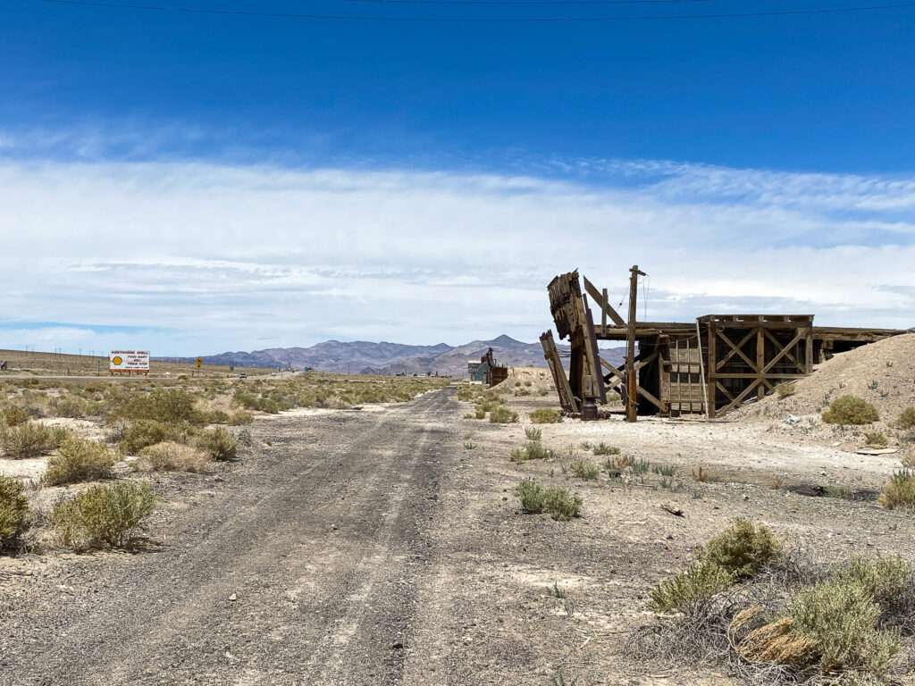
The old jail site in the rest area parking lot.
Mina
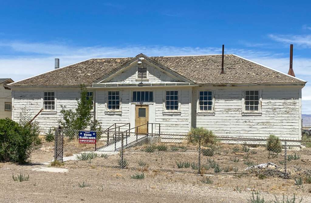
Mina started as a stop on the Carson & Colorado Railroad in 1905. The town thrived until the 1920s when the decline began. In 1989, the railroad discontinued service to Mina. Mina isn’t a true ghost town but has diminished significantly.
I was sad to learn that Socorro’s Burger Hut in Mina had been sold. To qualify, I was happy the owners could sell their restaurant but sad as they had some of the best burgers in Nevada. New owners took over the location, and now it is La Casita. They still have delicious burgers but also great street tacos.

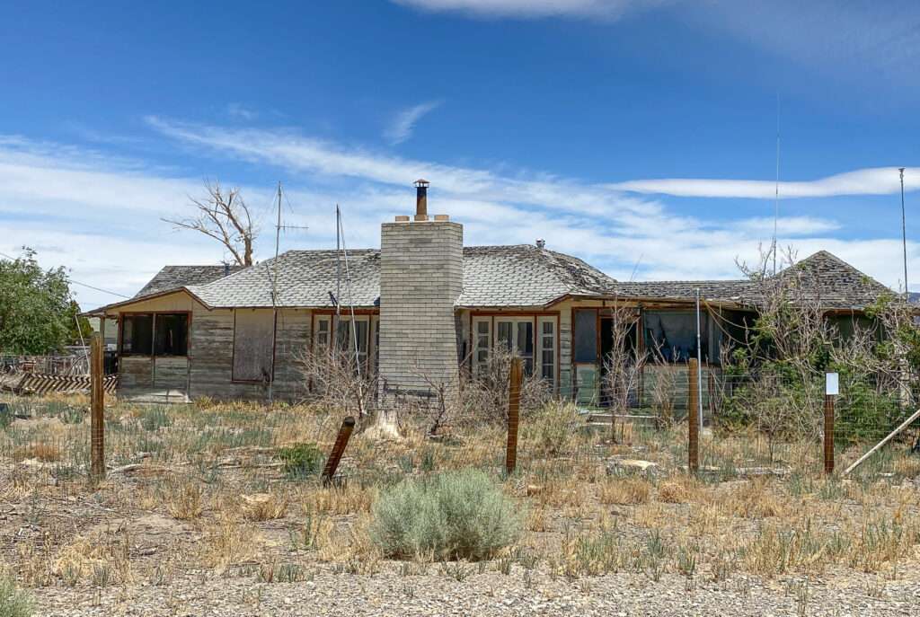
Rhodes
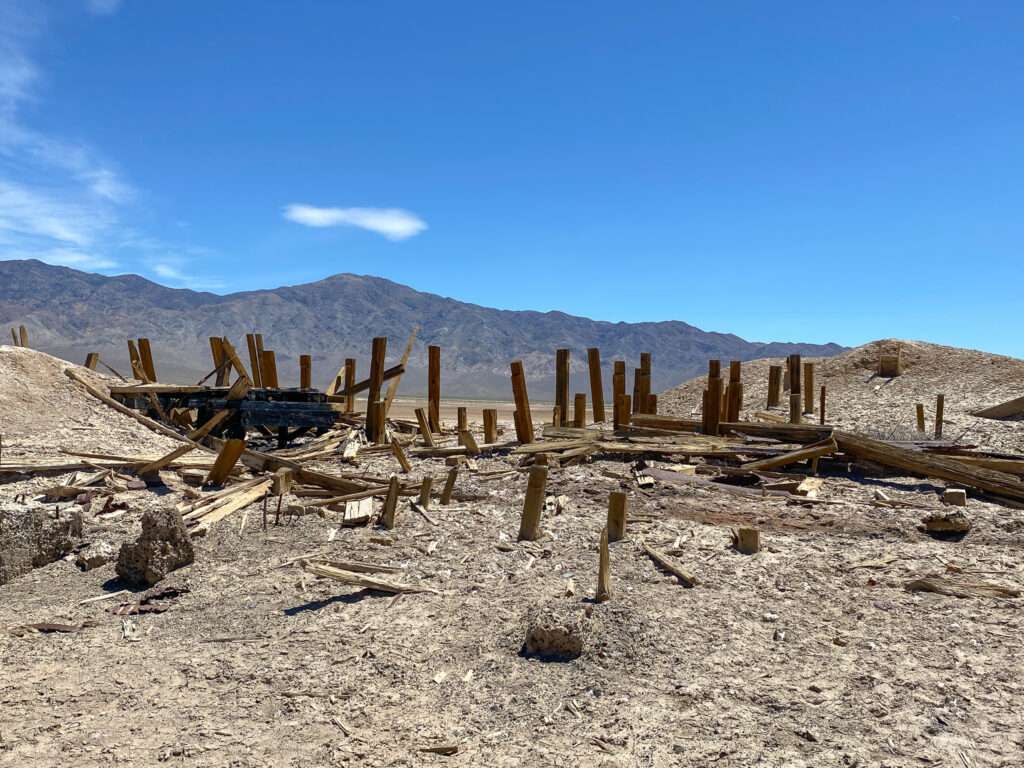
Rhodes was a station stop on the Carson & Colorado Railroad.

In 1862, salt deposits were found, and mines were shipped to the Comstock Lode via camel. This was less expensive than importing salt from San Fransisco. Salt was found in Sand Springs, much closer to Virginia City the following year. Rhodes began shipping to mills in Belmont and Colombus.
Rhodes was a stop on the Colombus to Wadsworth freight line between 1876 and 1882. In 1882, the Carson & Colorado RR began to use Rhodes as a station stop.
The Rhodes Alkali and Chemical Corporation began mining borax and salt in 1930. They constructed several plants which operated until 1933.
Sully’s Tourist Camp
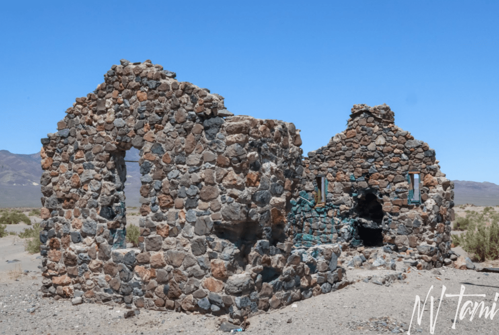
In 1931, C.E. “Sully” Sullivan of Hawthorne began constructing a “modern tourist camp” east of Rhodes. He situated the camp ten miles south of Mina on the Mt. Montgomery Highway close to Tonopah Junction. Sully claimed the resort would be an “Oasis in the desert.”
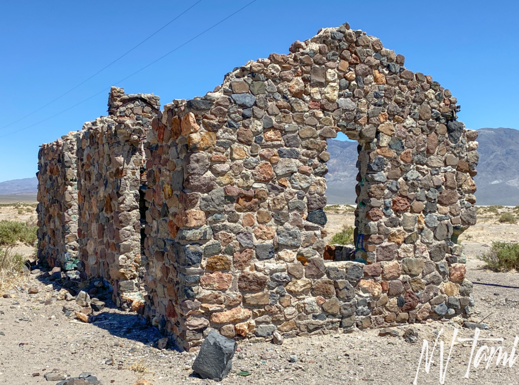
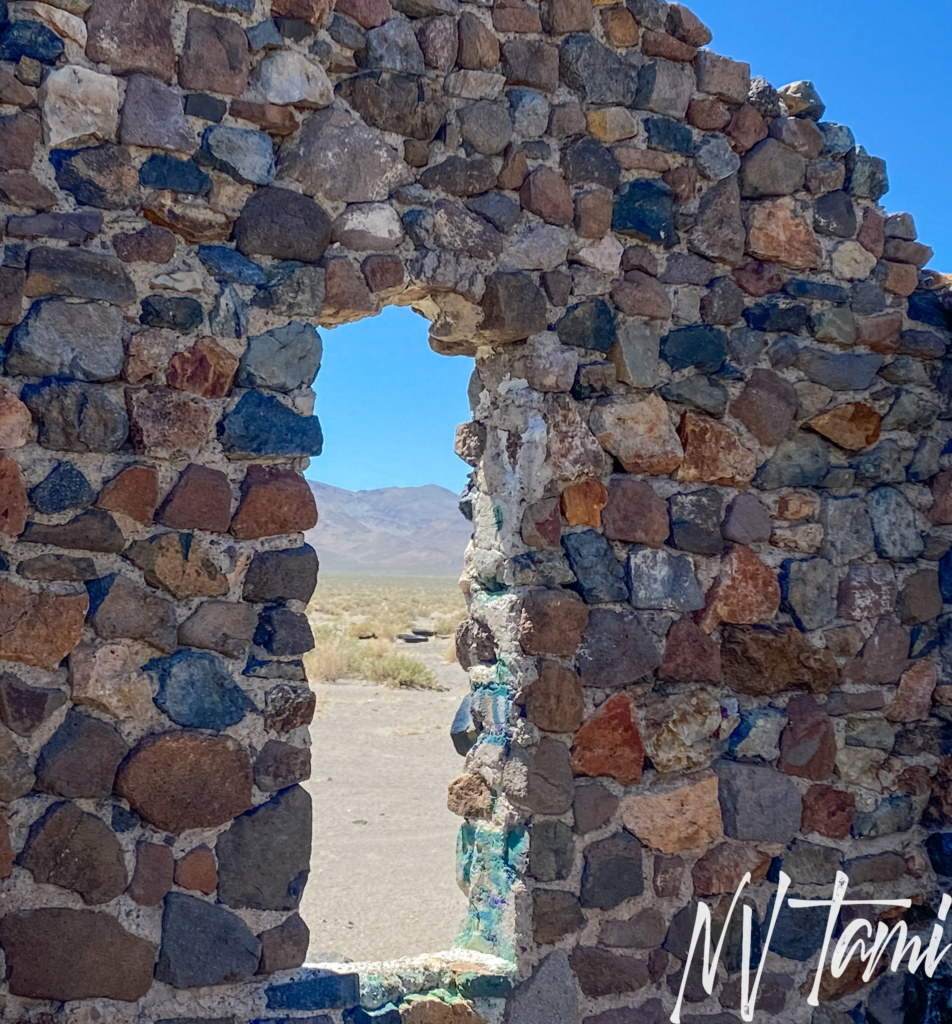
He planned the resort to contain eight bungalows and one restroom. The “restroom” included plans for a fireplace, making me think it was a community or recreation room, not what we would consider a modern restroom. The structure was constructed of native Nevada stone, and completion was targeted for late summer of the same year. Sully resolved water issues by placing a pump over a natural well.
One of the few pieces of information about Sully’s Tourist Camp is a newspaper cutout from May 1931. It is unknown if tourists enjoyed the desert oasis or if Sully’s faded into the Nevada desert before it even began.
Candelaria
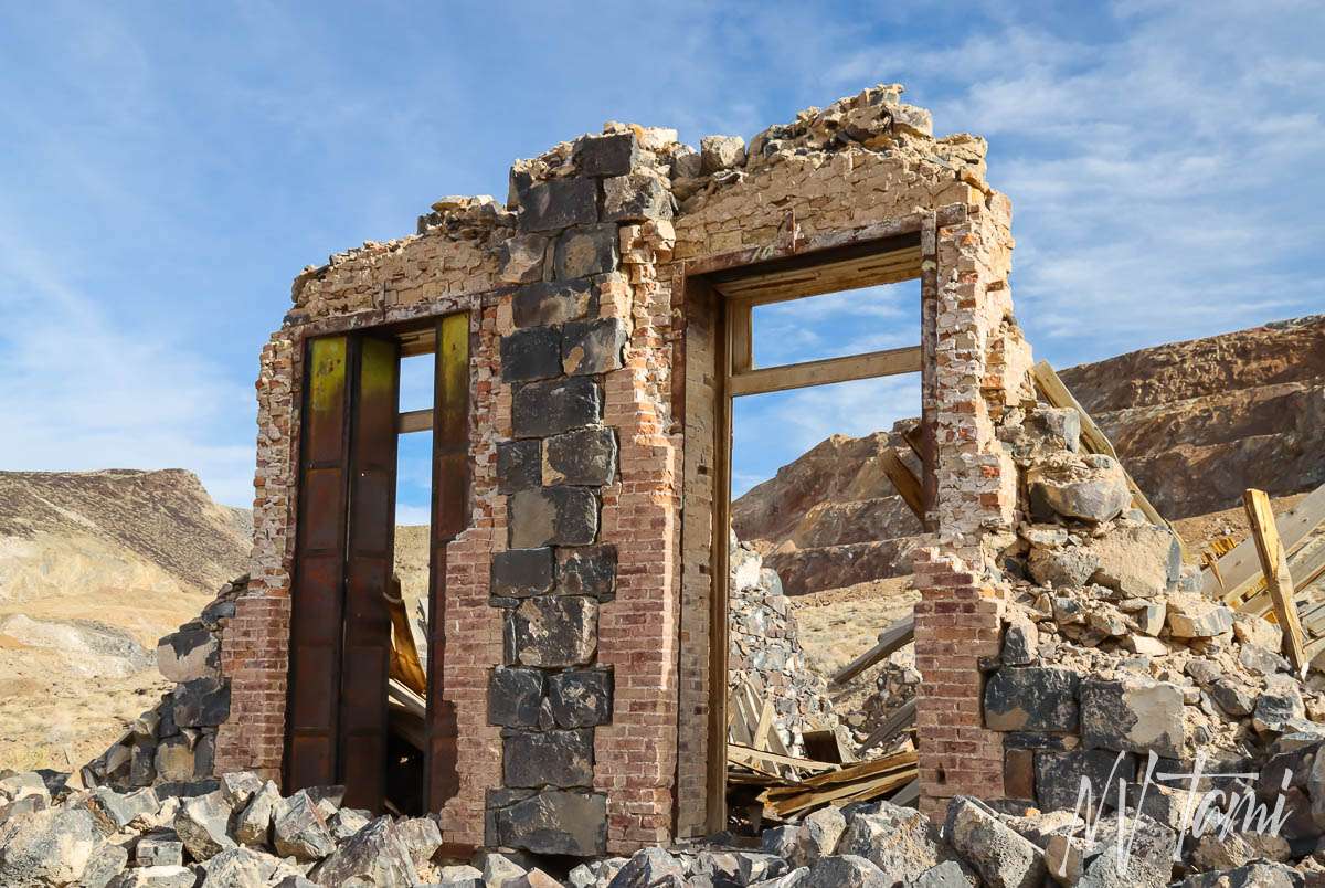
Prospectors first discovered silver ore in 1863, but Candelaria did not develop for a decade. The Northern Belle’s average production was $1 million a year. By 1880, Candelaria was the largest town in Esmerelda County.
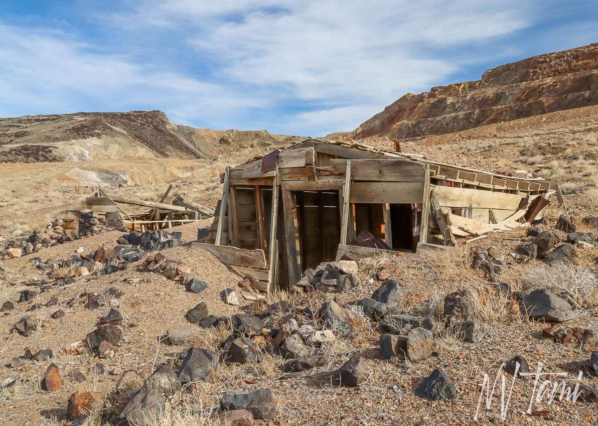
The Carson & Colorado Railroad arrived in 1882. A fire destroyed part of the town the following year, and soon, legal problems led to decreased mine production. Several booms extended the town life, but the post office closed in 1939.
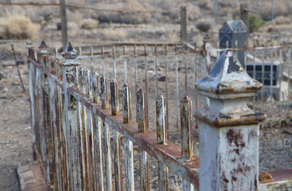
Unfortunately, an earthquake a few years ago significantly damaged the remaining structures.
Colombus
Colombus started in 1865 following the discovery of gold and silver deposits. Borax was founded in 1871, which expanded Colombus. However, Colombus declined in 1875 when borax mining shifted to Fish Lake, and the post office closed in 1899.
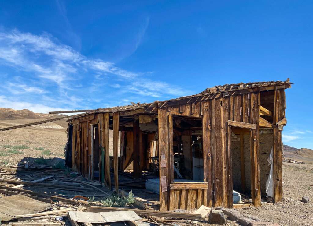
Colombus had a horse racing track. I spent a fair bit of time driving around and exploring with the drone, but I never found the track.
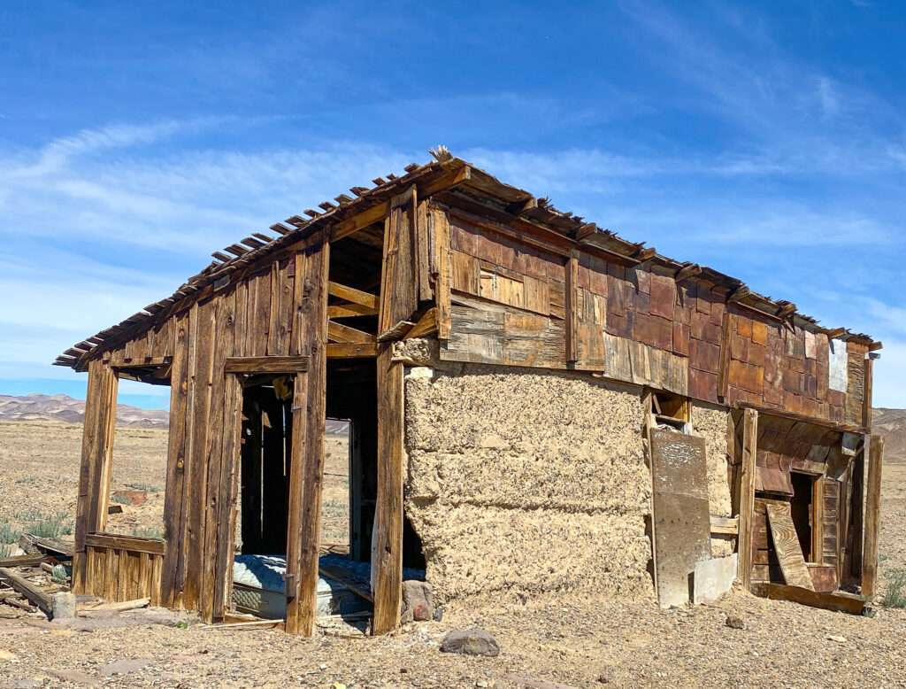
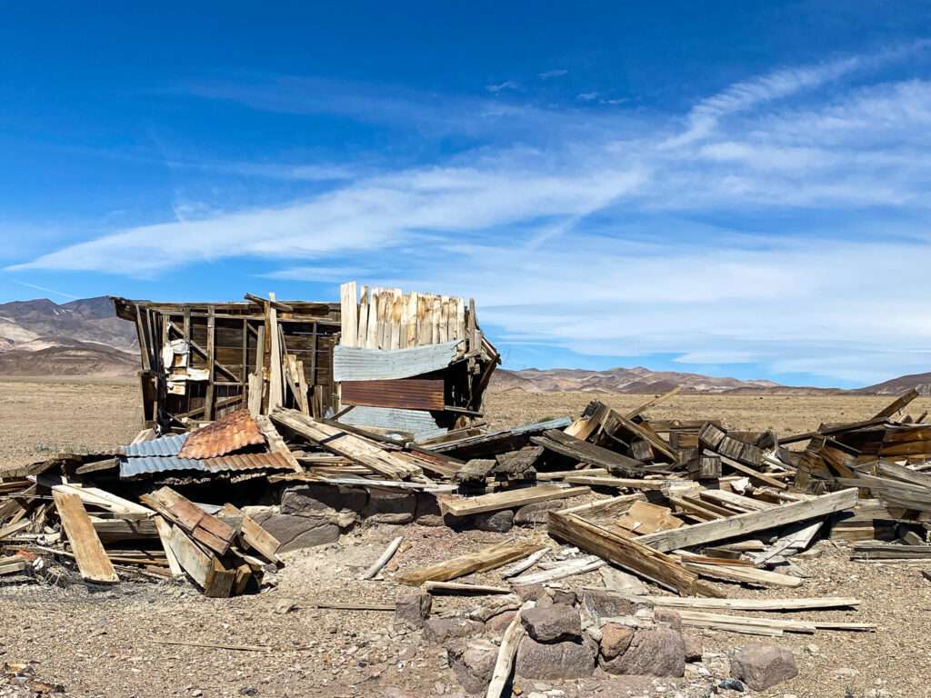
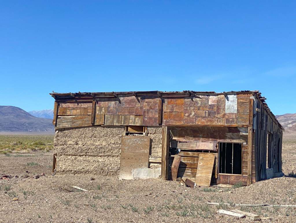
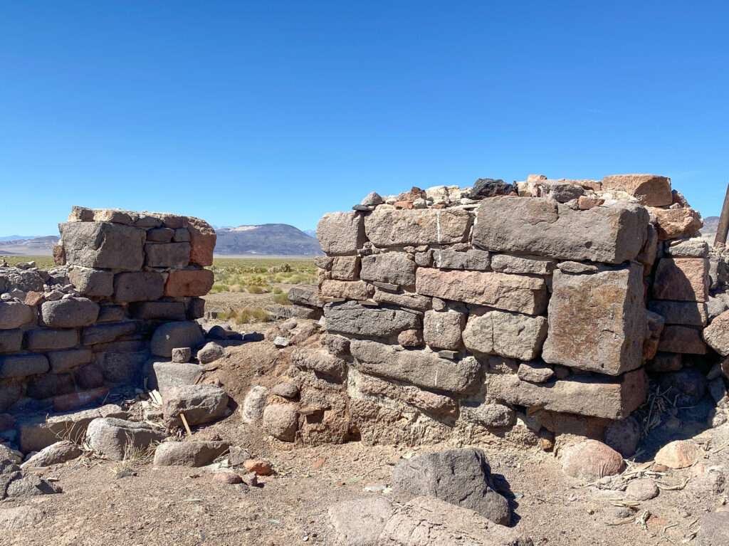
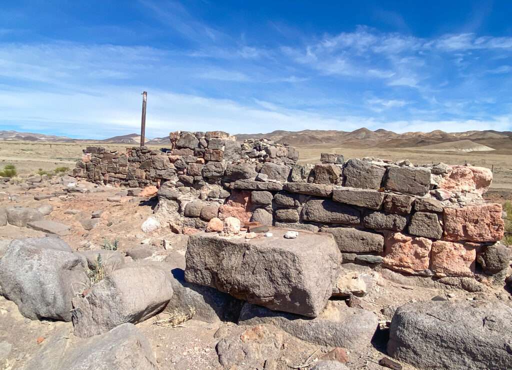
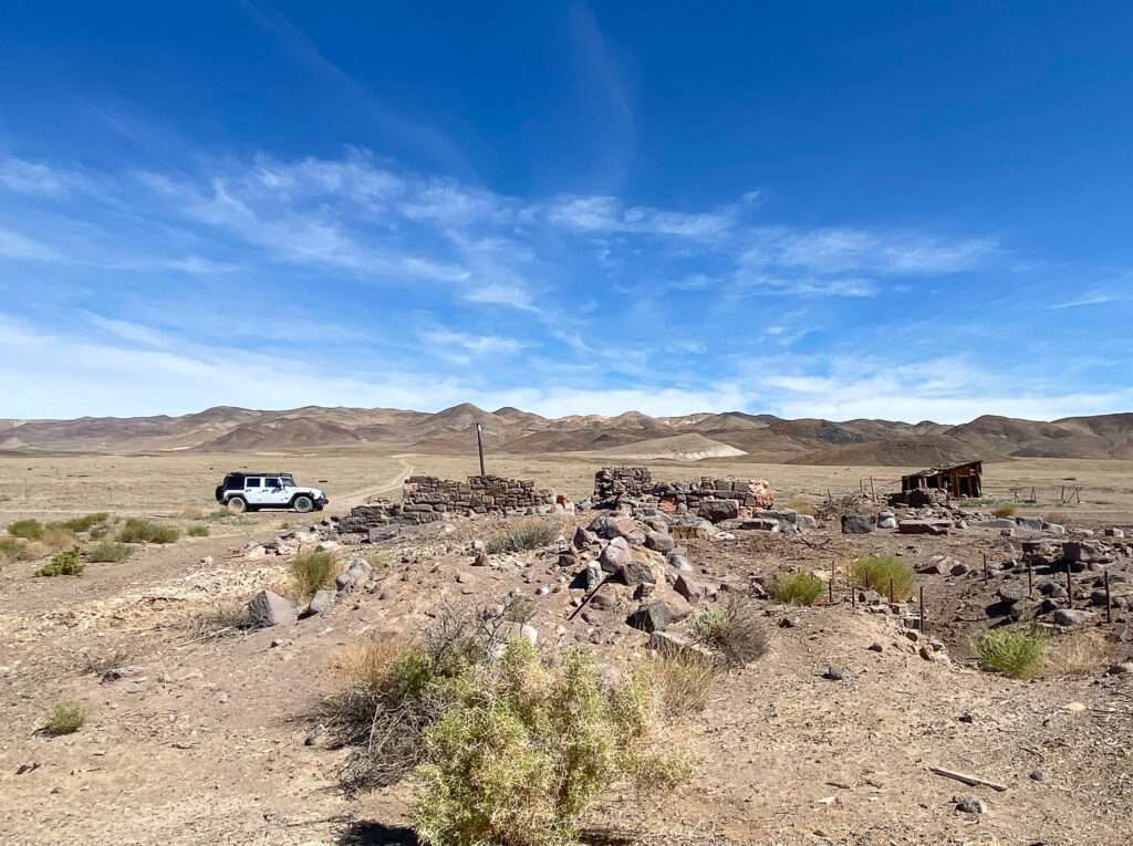
Remains from later mining operations dot the road to Colombus.
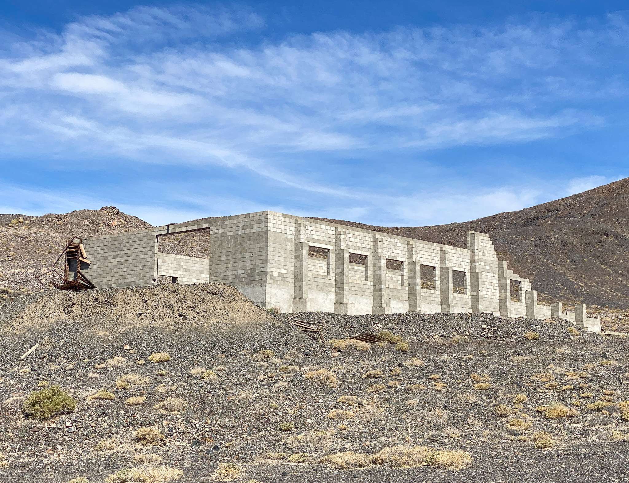
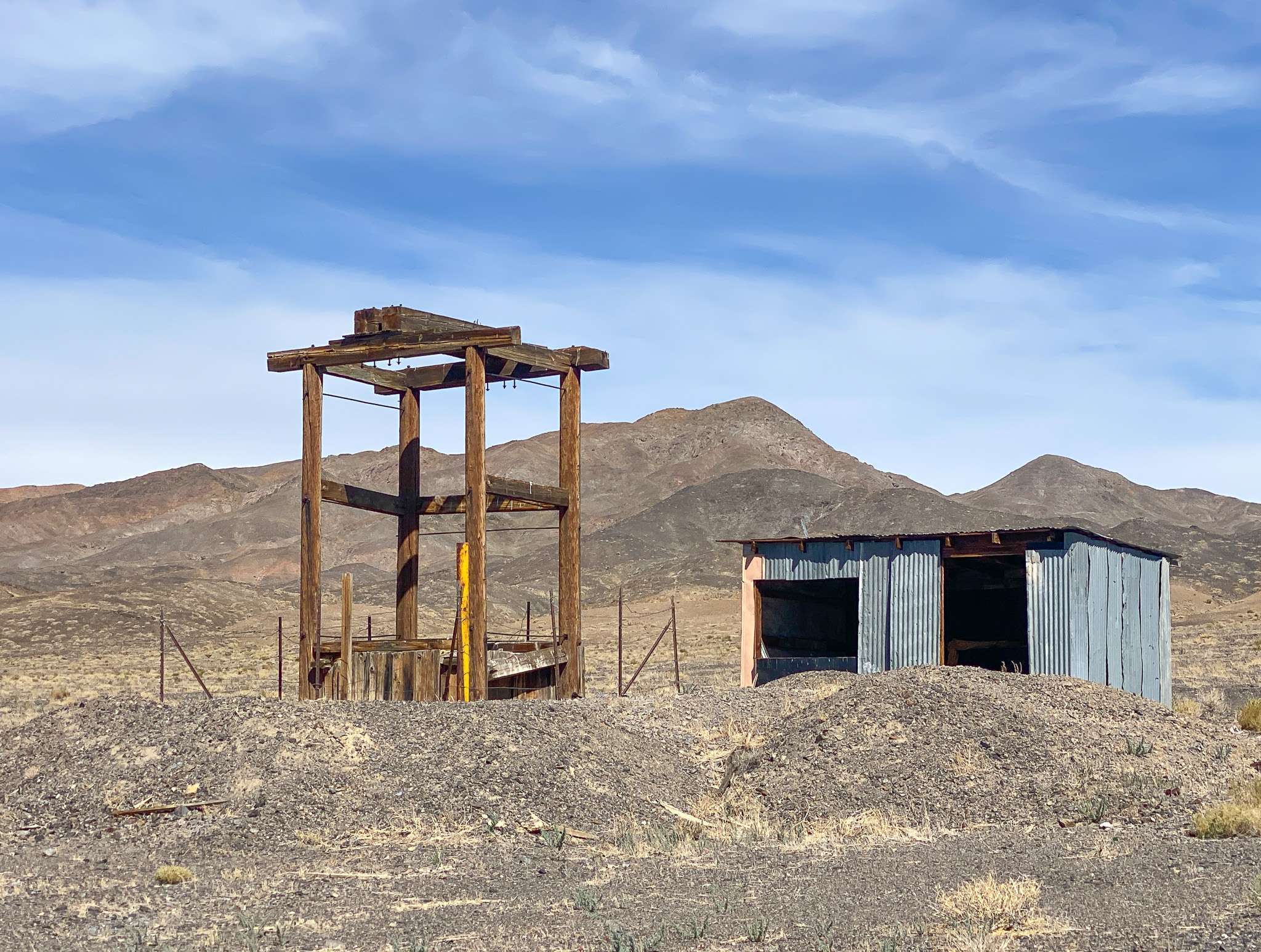
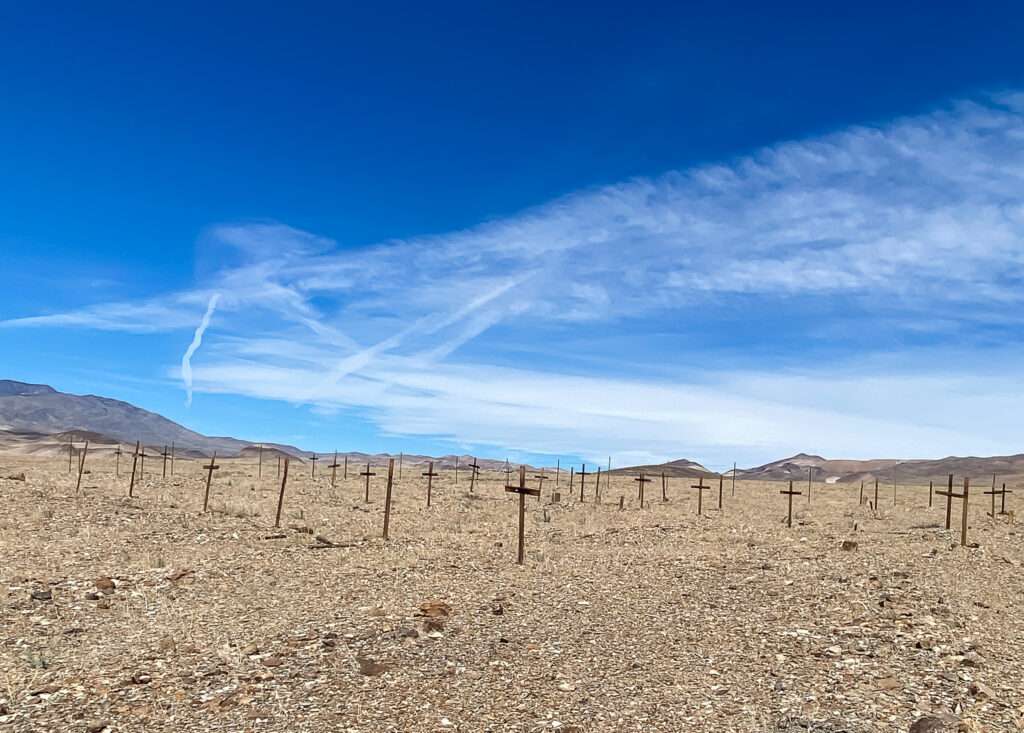
Calmville
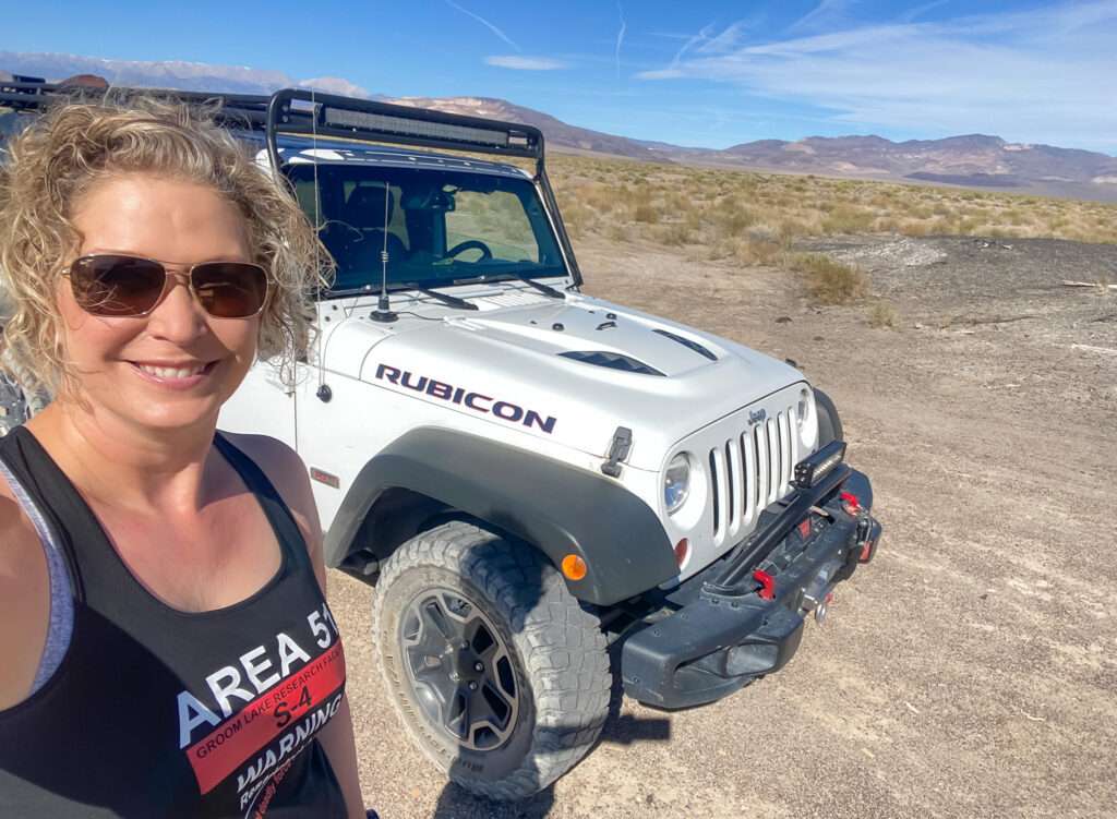
Two years ago, on my Girl Ghost Town Trip, I found the town of Calmville. As a psychotherapist, I loved the name and decided I needed to visit. Unfortunately, it didn’t work that trip but stayed on my radar. Calmville was exactly what I expected, a beautiful and peaceful oasis. You can enjoy a warm spa while eating healthy food, lush gardens, and meditating all day with the chants of Buddhist monks in the background.
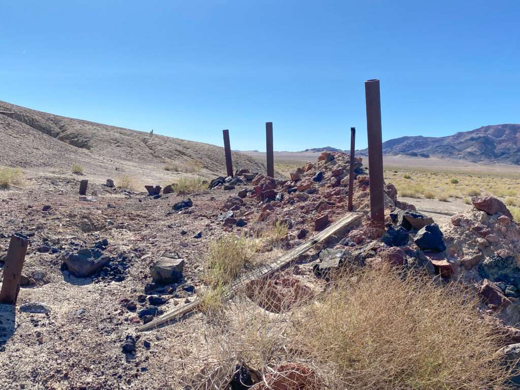
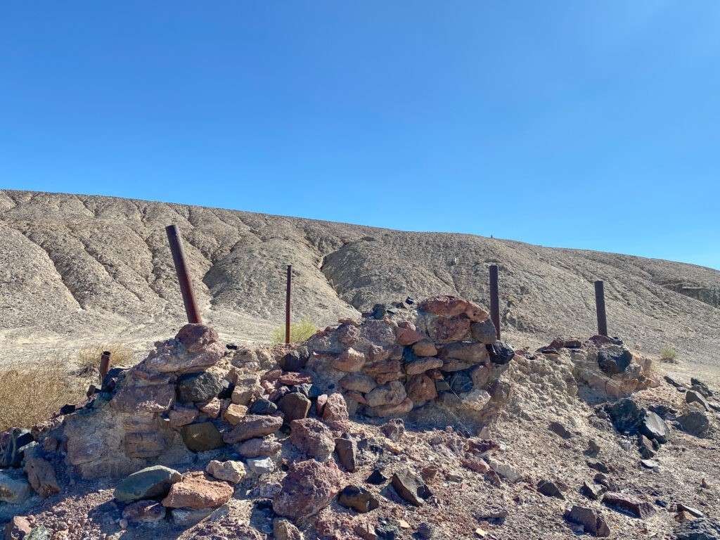
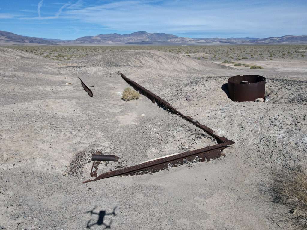
Just kidding, but wouldn’t it have been nice? Calmville was a borax mining town. It had a post office from 1893 to 1895 when service was transferred to my next stop, Colombus. At first glance, I find very little information online or in books about the ghost town of Calmville.

Coaldale Junction
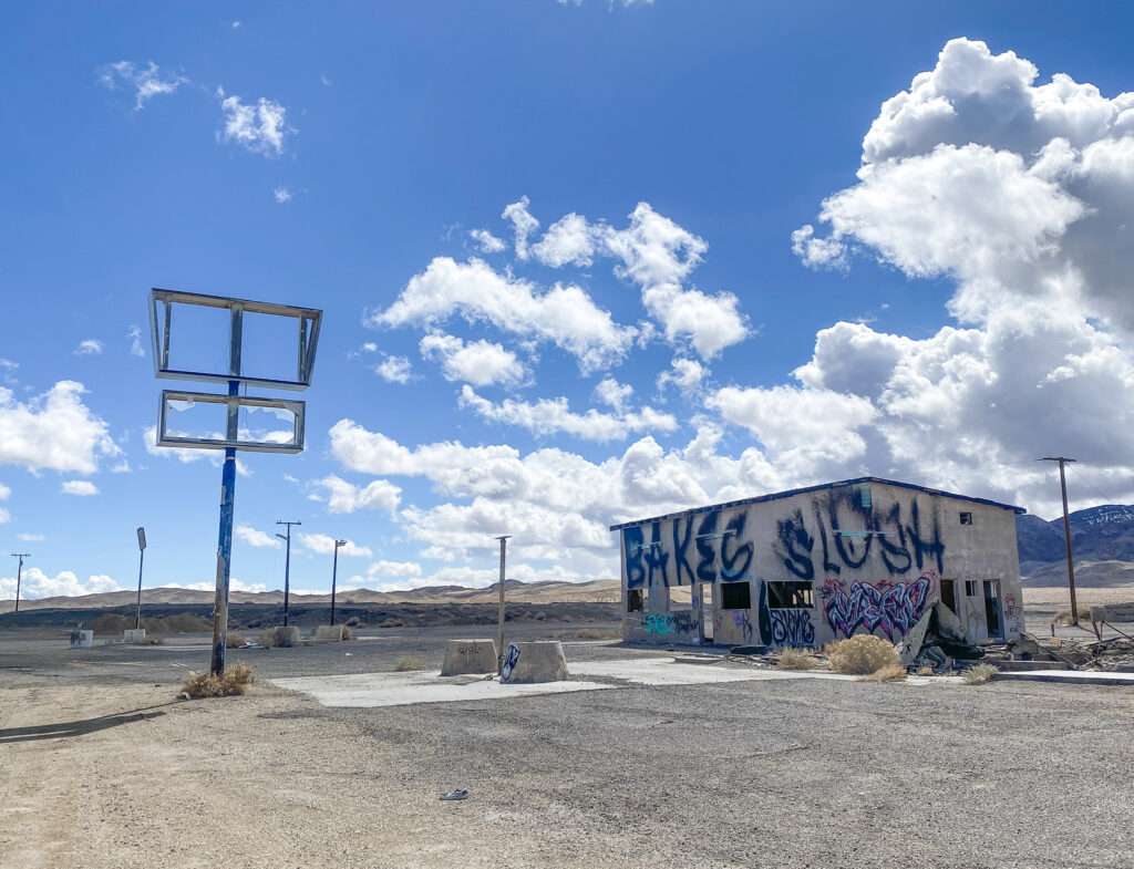
Coaldale was a stage station between Fish Lake and Bishop headed to Hawthorne and Belmont. Coaldale had a service station until 1959. The town is now gone, but Coaldale Junction, another service station and the motel are south of the ghost town.

Coaldale Junction consisted of a store, cafe, motel and service station. It operated until 1993 when the EPA found the fuel tanks were leaking. The restaurant and motel closed soon after, and a fire destroyed the restaurant in 2006.

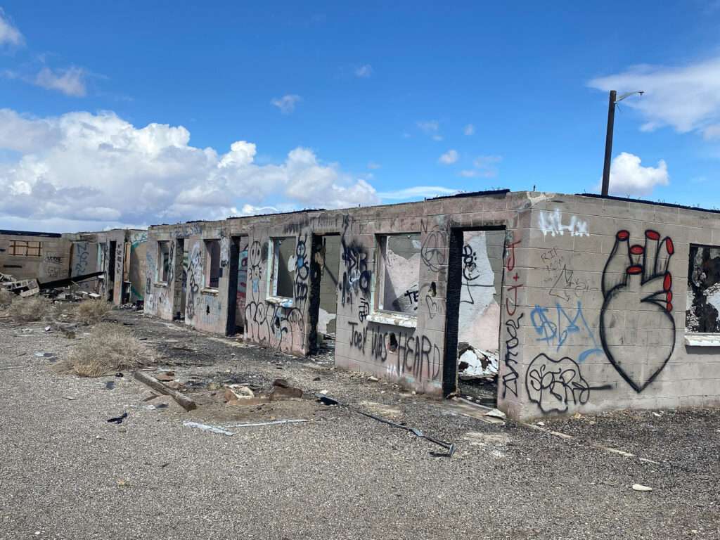
The buildings are all covered in graffiti.
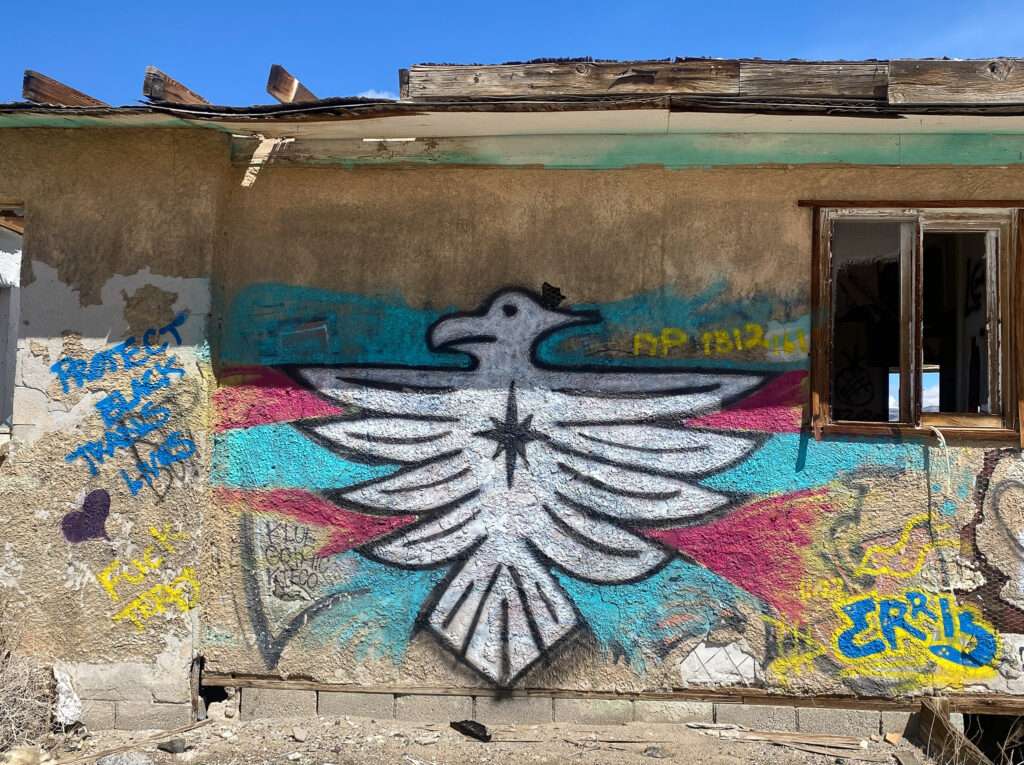
Graffiti is always changing. The camera below was changed from white to black since my last visit.

The green building is my favorite. The construction doesn’t seem to match the rest of Coaldale Junction. It may be the hospital from the Tonopah Airbase.

McClean
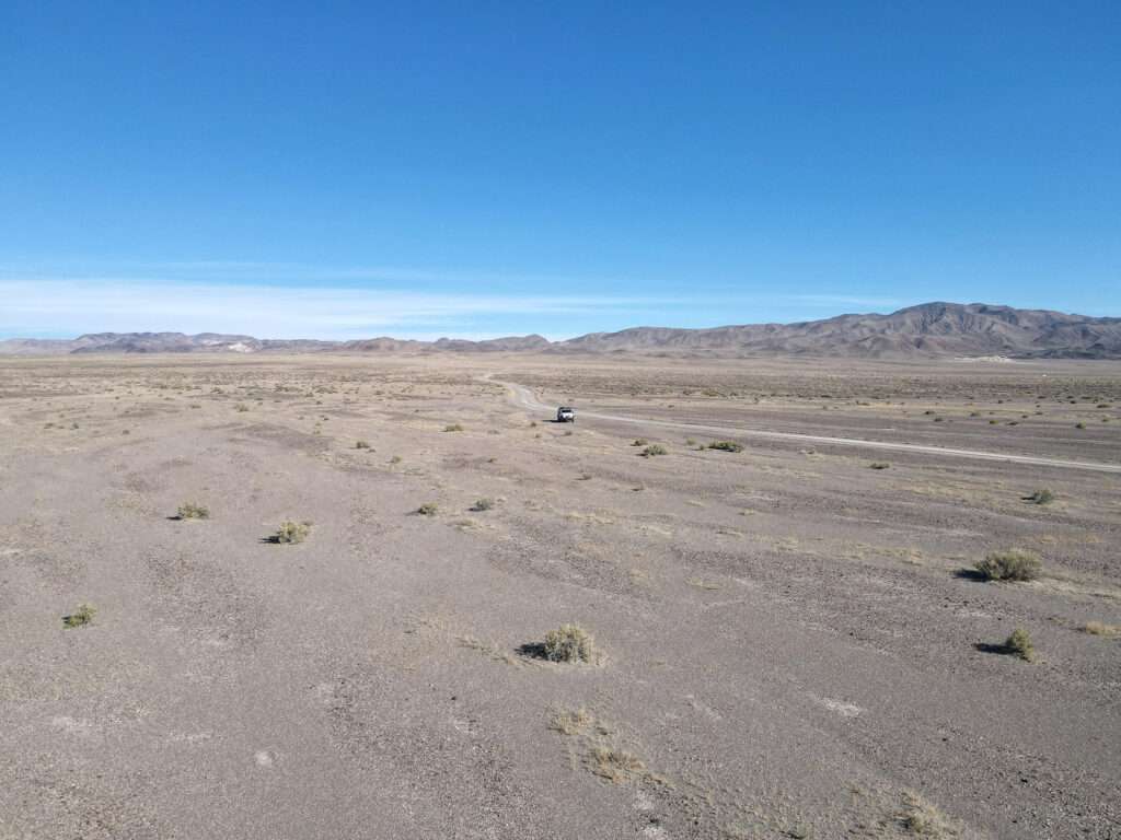
McLean was a station stop on the Tonopah and Goldfield (T&G) Railroad. The town was named after David McLean, an emigrant from Nova Scotia in the 1870s. McLean began ranching the area in 1891. The name was changed to Gilbert Junction in 1925 in honor of the three Gilbert brothers who prospected the area. Gilbert had a post office from 1925-1942.
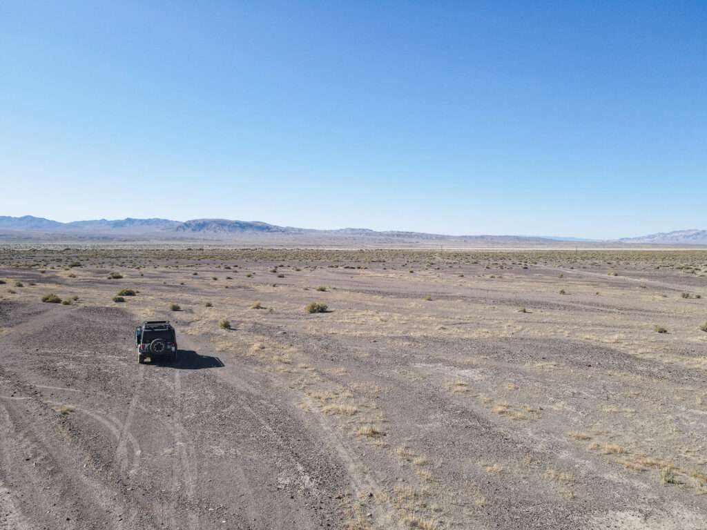
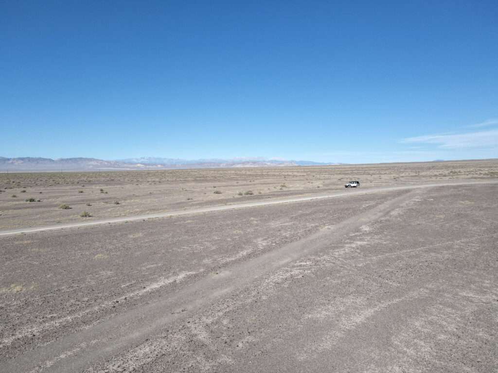
Millers
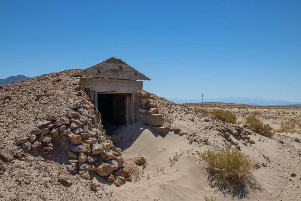
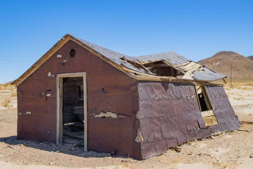
Millers was established in 1866 and was initially known as Desert Wells Station. The station stop served travelers on the Silver Peak to San Antonio road and the Sodaville and Tonopah. With the creation of the Tonopah and Goldfield (T&G) Railroad, Millers expanded to service the railroad.
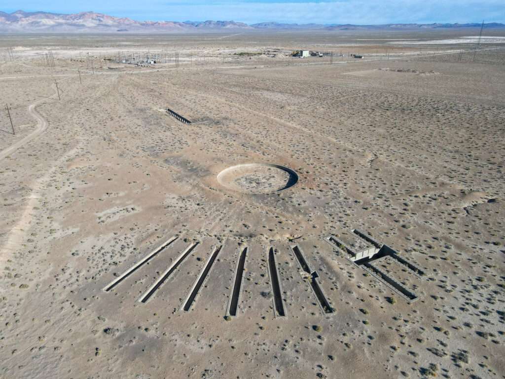

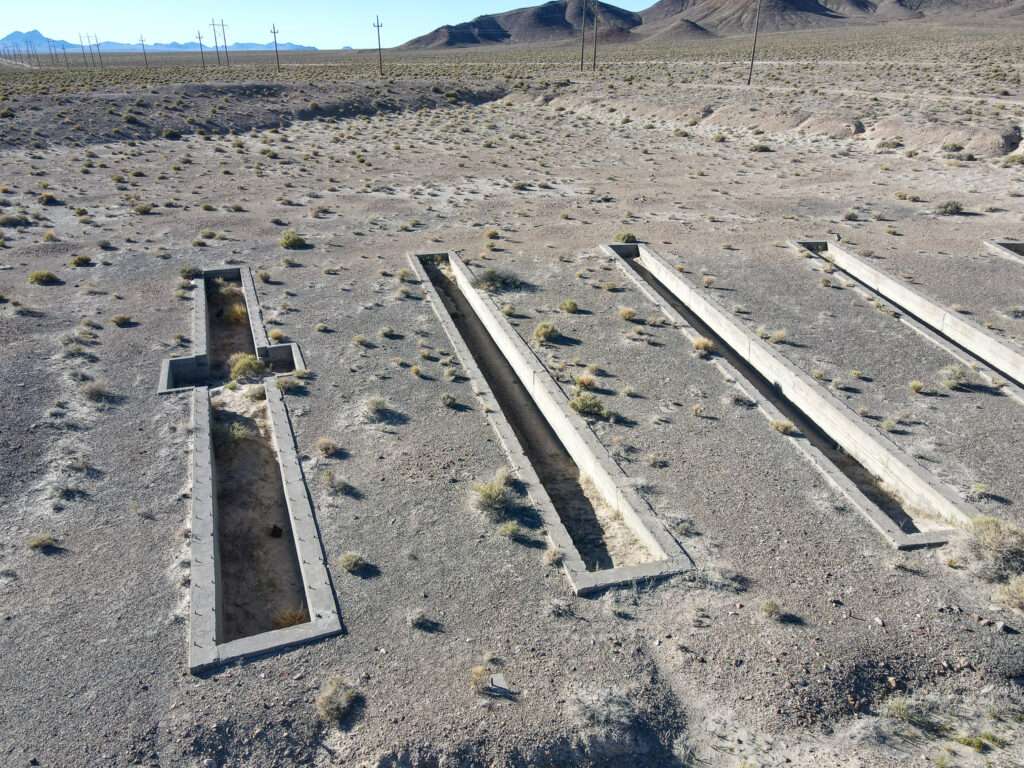
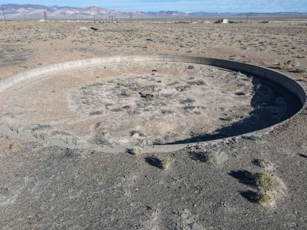
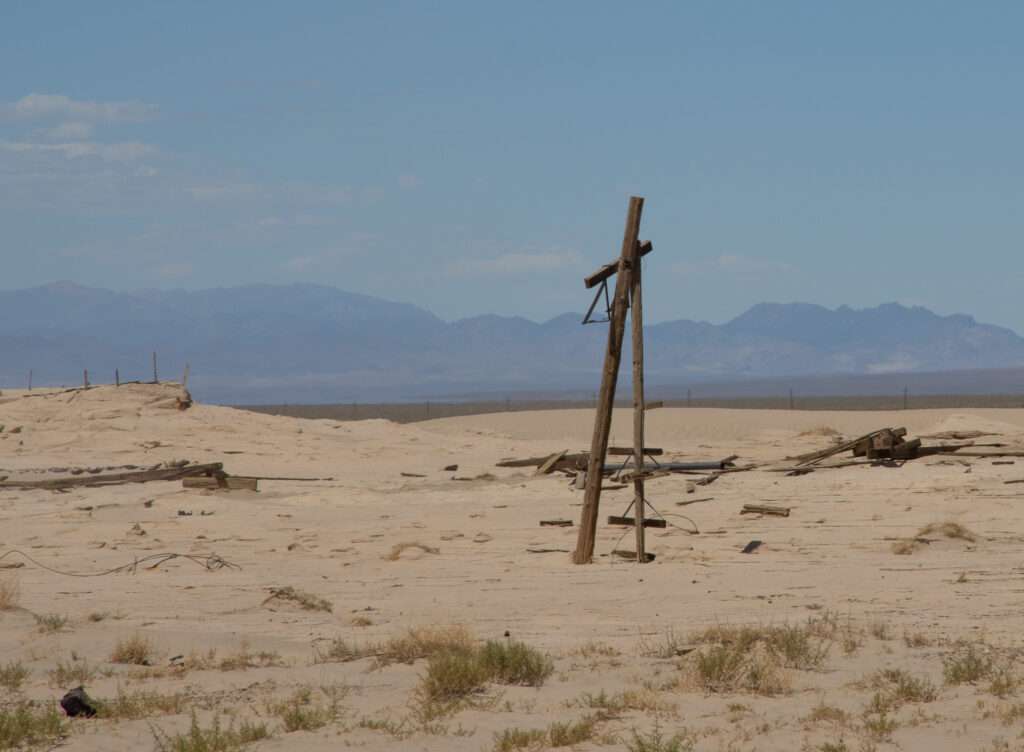
The Tonopah Mining Company built a 100-stamp mill and power plant in 1906. Millers believed it would become the be the next big shipping area. However, in 1910, T&G moved structures to Goldfield, and the Tonopah Mining Company relocated to Tonopah, dashing hopes. With the dismantling of the T&G railroad in 1947, Millers became Nevada’s newest ghost town.


TONOPAH
Tonopah has a ton of awesome and historic structures.
Mizpah & Belvada

If you say the night, Mizpah and Belvada are great places to hang out or drink in the historic lobby bar.

Lady in Red
Take a ghost tour and see if you can spot the Lady in Red.

USA Today voted the Mizpah the #1 most haunted hotel in America, mainly due to its famous ghost, the “Lady in Red.” Patrons come from far and wide to enjoy the historic opulence of Tonopah’s grand hotel and to investigate the reported hauntings.

I stayed in room 502, one of the three rooms said to have belonged to the Lady in Red. Guests report this is the room where unusual activity occurs. I wasn’t afraid, but I was tired and in need of a good night’s sleep, so I offered the Lady in Red a deal… let me sleep and I would tell her story.
I slept well for three nights. Living up to my end, I started researching and writing about the Lady in Red. So, Who was the Lady in Red?
Tonopah Cemetery

The first burial at the Tonopah Cemetery was in 1901. It is a popular spot for visitors, ghost hunters and those staying at the Clown Motel. A walking guide is available at the entrance. The most famous grave is Big Bill Murphy, a local hero who died in 1911, rescuing miners from the Belmont Mill fire.
Fire Department & Water Company
These buildings are original, dating to 1907-1908.

Crib or row house
This building looks like a crib where prostitutes lived and worked. If not, these might be row houses.

CENTRAL NEVADA HISTORICAL MUSEUM
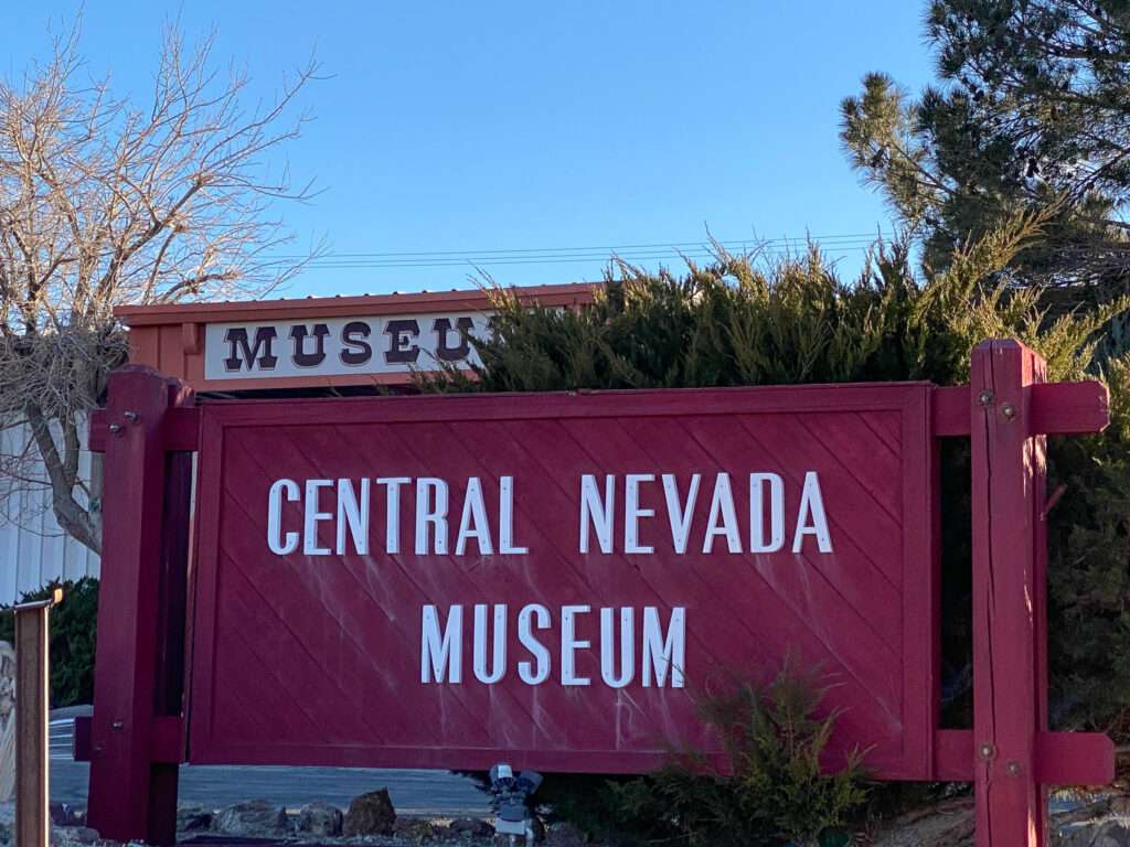
Step into our past and explore the rich & colorful history of Central Nevada!
Central Nevada Museum
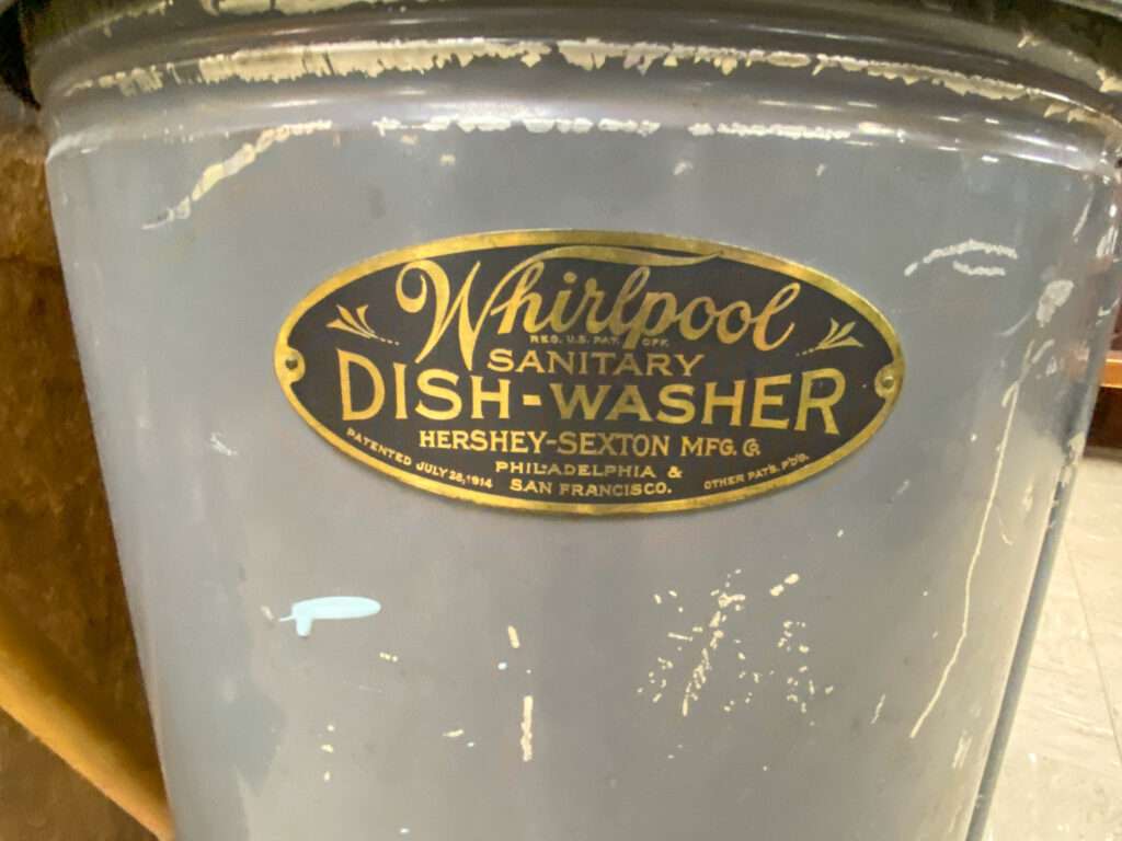
The “First Call Basket” is new to me. It was used to transport people to the mortuary. People have changed in one hundred years; I don’t think I could fit in the basket, never mind a man.
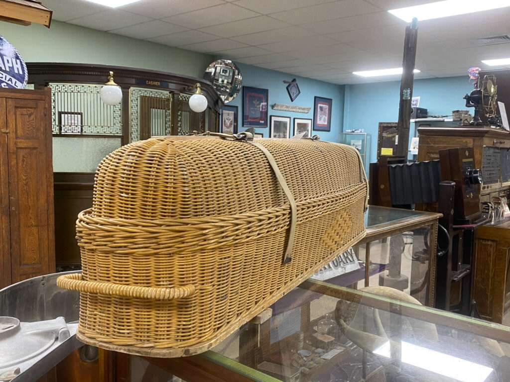

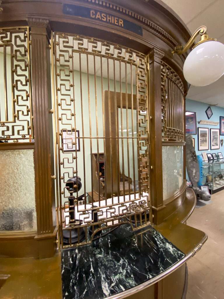

What makes the museum priceless is Allen Metscher. He, along with his brothers, dreamed of a historical museum. The trio collected artifacts and researched local mining and town history. Allen started the museum from the ground up, designing the building.
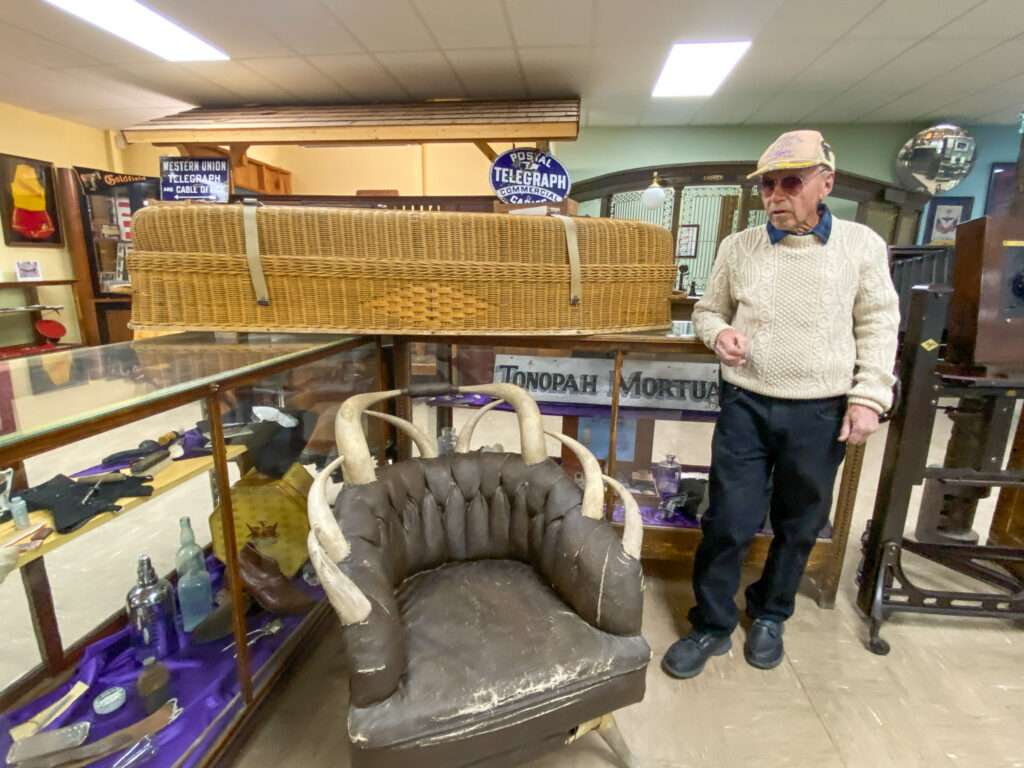
Allen authored multiple books on local history in conjunction with the US Air Force. He gave me Historic Places in Central Nevada Adjacent to Nellis Air Force Base. It has information and photographs I haven’t seen before; I will update some articles. Thank you, Allen, but I forgot to have you sign it.
I look forward to remedying my oversite and spending more time with the Rock Star of Central Nevada History, Allen.
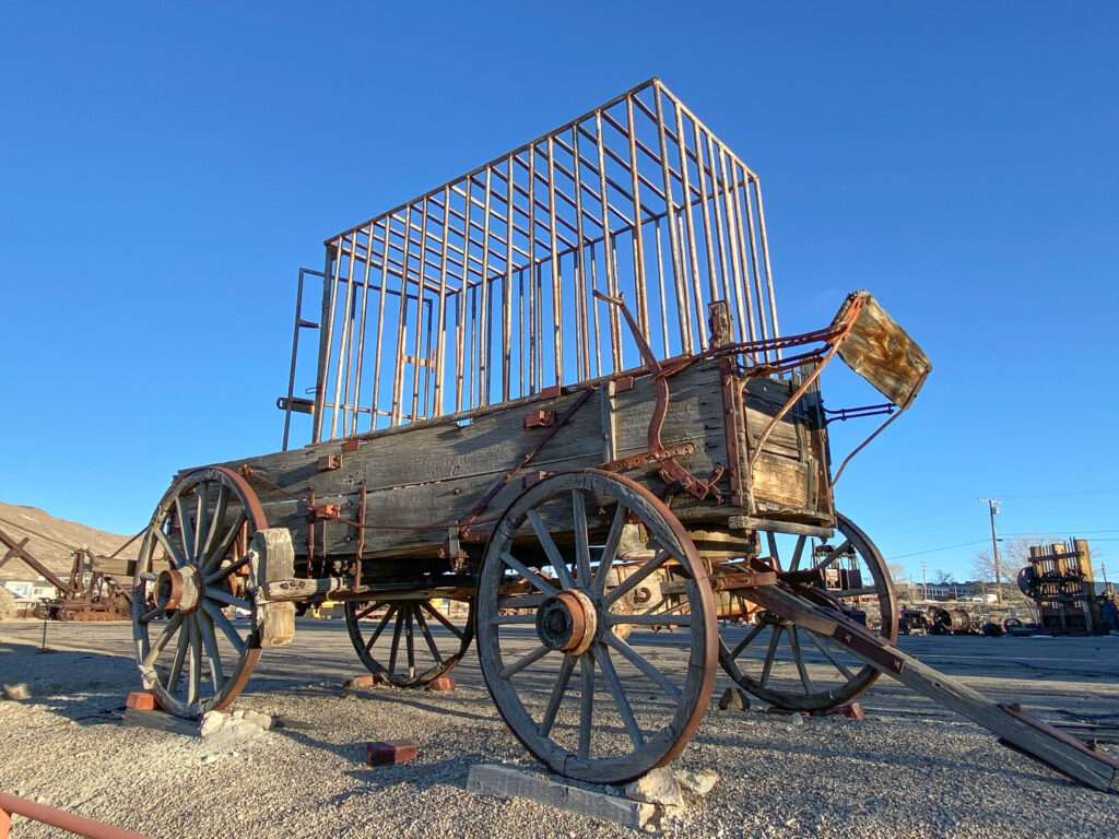
The Central Nevada Museum is open from 9 am to 5 pm, Tuesday through Saturday. Admission is free, and they accept donations.
Strawberry Hill

If I stay the night in Tonopah, I can guarantee I’ll be at Strawberry Hill the next morning! They have amazing cheese blintzes! They also have delicious lunches.

More places to visit around Tonopah & Goldfield
Alkali Springs
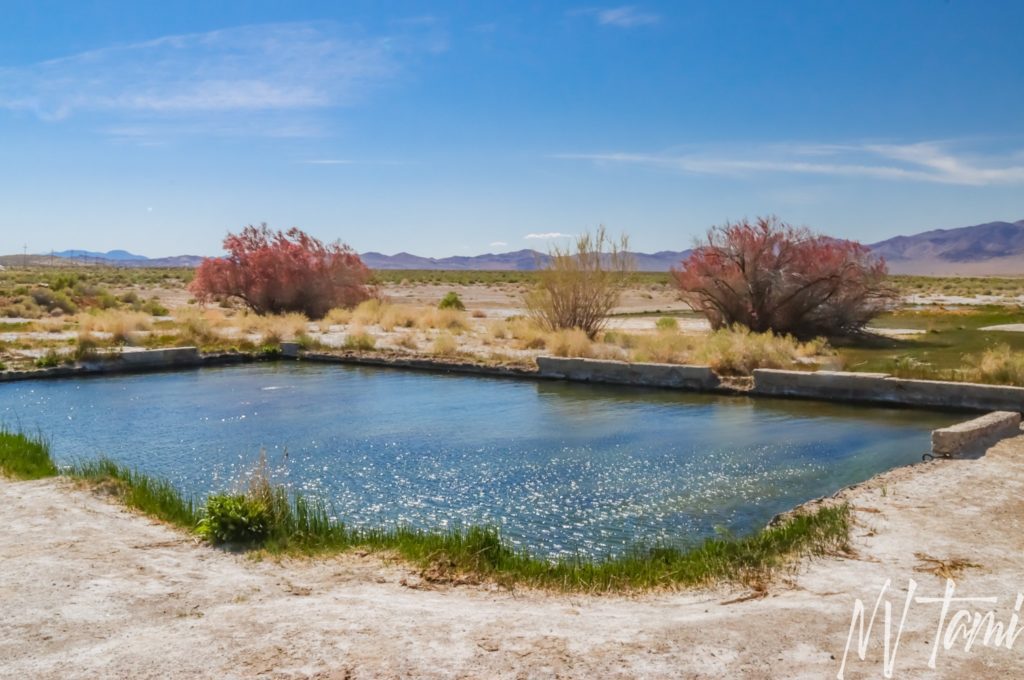
Alkali Springs has been a popular resting place for visitors for over one hundred years. In the early 1900s, it was a trendy resort, restaurant, and dance hall. In the 1940s, soldiers from nearby Tonopah Army Airfield got “rowdy” at the resort, taking a much-needed break during WWII. Today, travelers enjoy the warm waters and ruins of the resort and power substation.
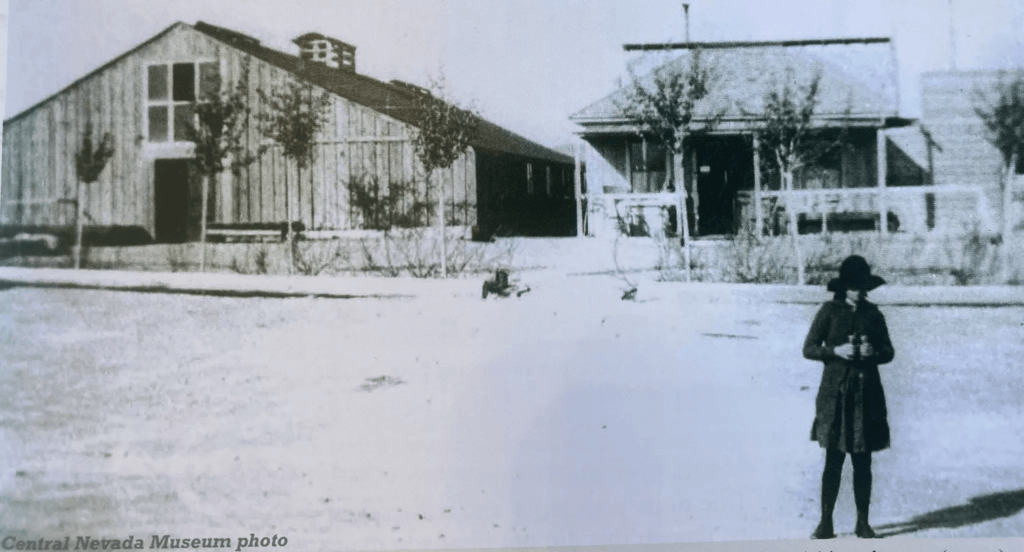
I was in Tonopah and visited the amazing Central Nevada Museum. I met the founder, Allen Metscher, who lived at Alkali Springs. He gave me a book with a chapter on Alkali Springs, including historical photos of the resort. A very special thank you to Allen for permitting me to share these photos for the first time online.
COLUMBIA/STIMLER
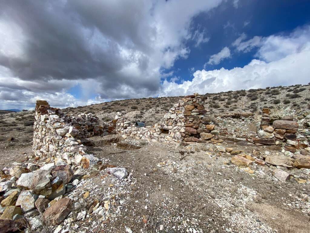
Some consider Columbia a suburb of Goldfield, but it had its own post office between 1904 and 1919 and the town fought to be a separate community. Originally named Stimler 1902 after Harry Stimler, one of the founders of Goldfield, the town was renamed for the Columbia Mountains. Interestingly, Stimler started another town in Esmerelda County in 1907 by the same name.
Goldfield Consolidated Mill
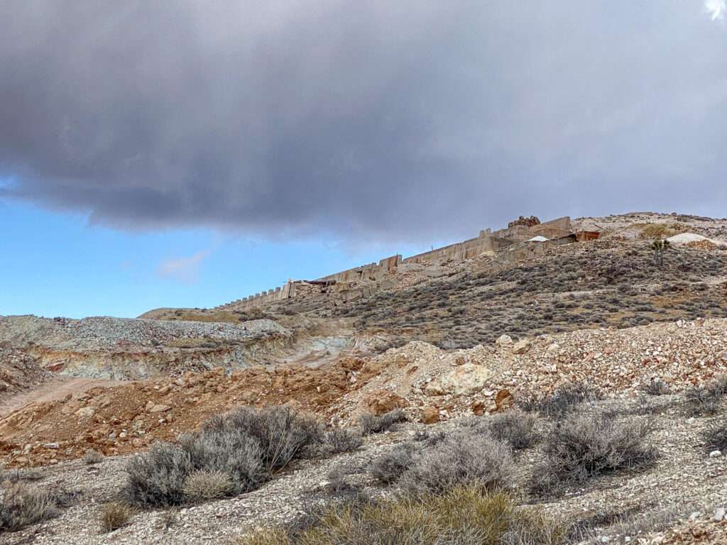
The 100-stamp mill was built in 1908 and operated until 1919. Between 1927 and 1940 a portion of the mill was used to rework tailings.

(Photo credit: Minedat)
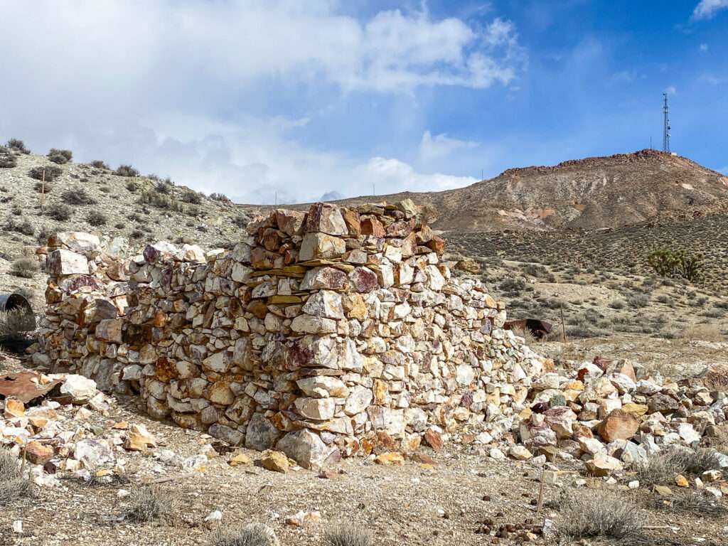
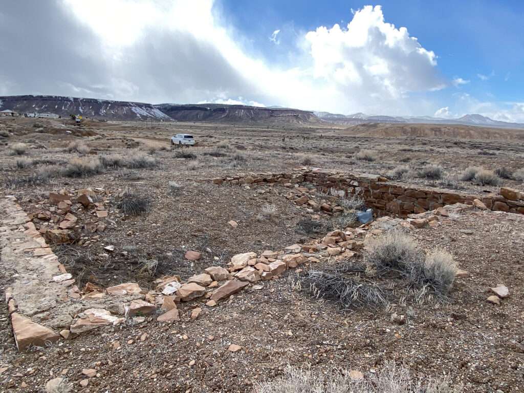
Diamondfield
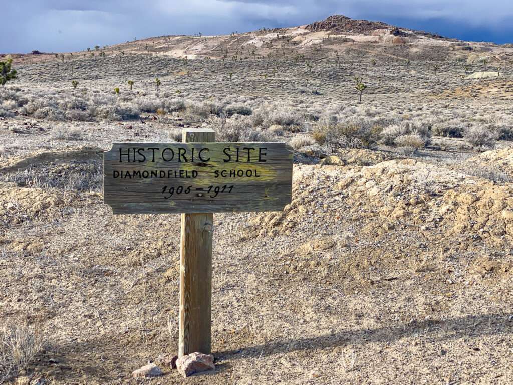
“Diamondfield Jack” Davis founded the town. He had smartly moved away from Idaho, where he was convicted of murder and then pardoned at the final hour, standing on a gallows, hood over his head and noose around his neck. Hearing of discoveries outside of Goldfield, he plotted a town and created a toll road to Goldfield.

By 1904, Diamondfield had every service you can imagine: a post office, stores, churches, stores, boarding houses and restaurants, a physician, and of course, multiple saloons. Several hundred people called Diamondfield home at the town’s height. As mining declined, so did Diamondfield. Miners moved to the next big strike, and the post office was closed in 1908.
Goldfield
Following the discovery of rich gold deposits, thirty-six prospectors and investors met to establish a new town. Goldfield sprang to life on October 20, 1903, starting as a tent city.

Before a year had passed, Goldfield boomed, soon to become the largest city in Nevada. The town built beautiful stone buildings, including a school, courthouse and fire department. The San Fransisco Examiner dubbed Goldfield the “Greatest Gold Camp Ever Known.”

I think Goldfield has one of the best historical societies. Driving through town is like a living museum; there is history everywhere. Unfortunately, I couldn’t pick up a Goldfield Walking Tour booklet, but we accessed it online. The guide has an astonishing twelve pages and 191 sites! It includes the location and history. Most, if not all, structures have corresponding plaque numbers.
Slaughterhouse Canyon
Above the Pioneer Cemetery is Slaughterhouse Canyon.

ICEHOUSE

From 1905 to 1913, Goldfield & Columbia Ice and Cold Storage Company had an ice house. From 1914 to 1914, Tonopah & Goldfield Meat Company had a butcher shop at the location.
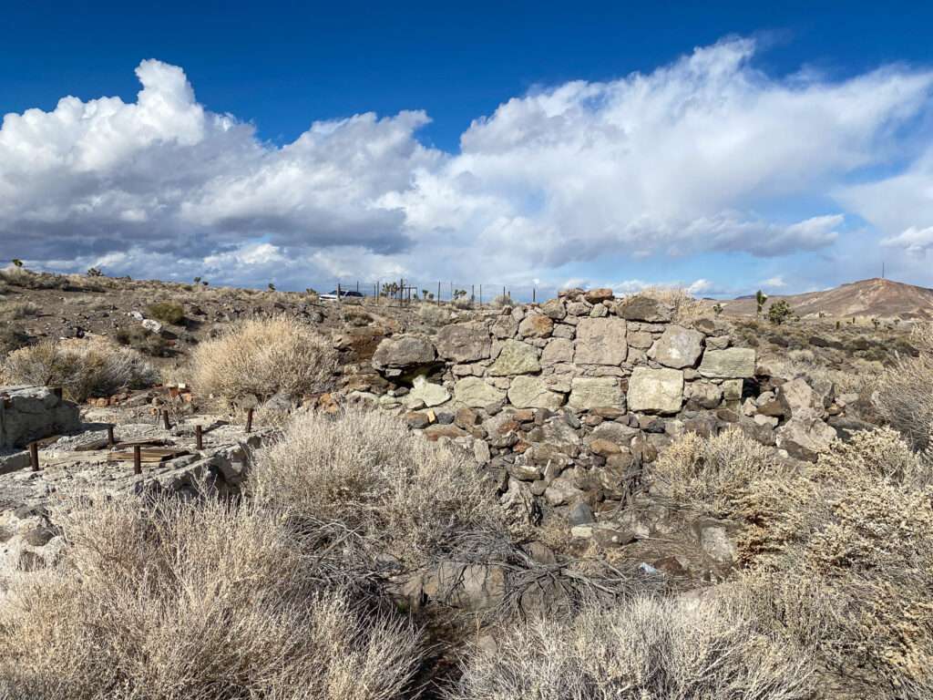

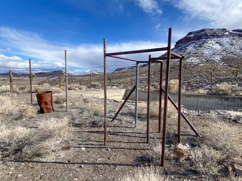
SWIMMING POOL
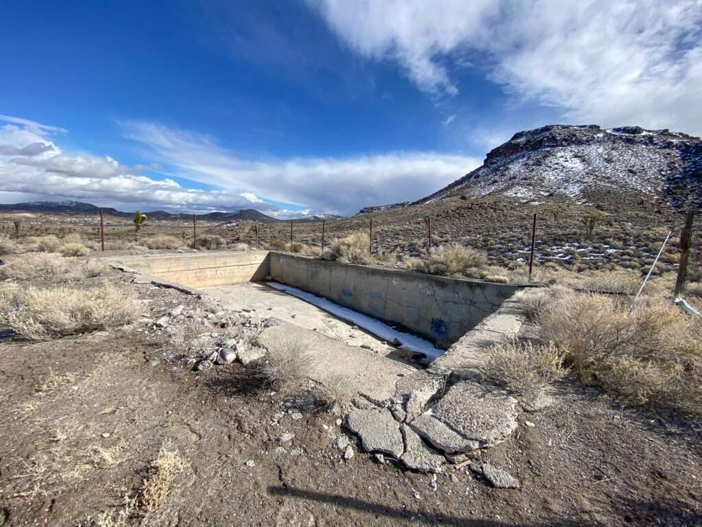
Crystal Baths in Slaughterhouse Canyon was a Goldfield retreat. The WPA converted the into a community swimming pool in the 1930s.
Goldfield Cemetery

Nevada is full of unique and wild experiences with history, including visiting cemeteries for fun. Yes, going to graveyards for entertainment purposes. Unlike today’s simple grave markers, headstones from the mining camp days are often a story in themselves. Headstones range from tales of gunfights to heroic acts, tragic and poignant deaths, and the downright quirky. One of the most famous headstones is in Goldfield, “Unknown man died eating library paste.” Wait what? Doesn’t everyone over the age of five know not to eat library paste? Who was the man, why was he a paste eater and who were the Goldfield’s “Official Ghouls”?
“Unknown man died eating library paste“

Goldfields Gold Diggers Grave
The most visited grave in Goldfield is that of the Unknown Man Died Eating Library Paste. But, the famous cemetery is filled with stories of life in the Wild West. While most stories revolve around who is buried at the historic cemetery, a few are about those who dug the graves, including Goldfield’s Grave Digger’s grave.

John Meagher was a grave digger at the Goldfield Cemetery. He was killed in the grave using explosives to break apart a boulder. He could not get out of the grave after setting the explosives, and a piece of the rock penetrated through his head into his brain. Ironically, they buried him in the grave where he died.

Goldfield Hotel

The Goldfield Hotel is the most iconic feature of the town. Completed in 1908, it was the most elegant hotel in Nevada. Appointments included crystal chandeliers, mahogany trim, leather-covered seating and gilded accents. The 150 rooms, most with a private bathroom, carpet, mirrors, and even a telephone. An on-site power plant provided steam heat.
Sacred Heart Catholic Church
Sacred Heart Catholic Church was built in 1909. Sadly, a fire destroyed most of the church in 1943.
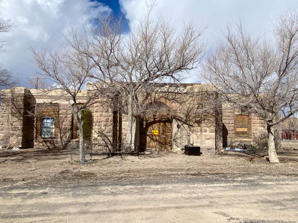
Jail
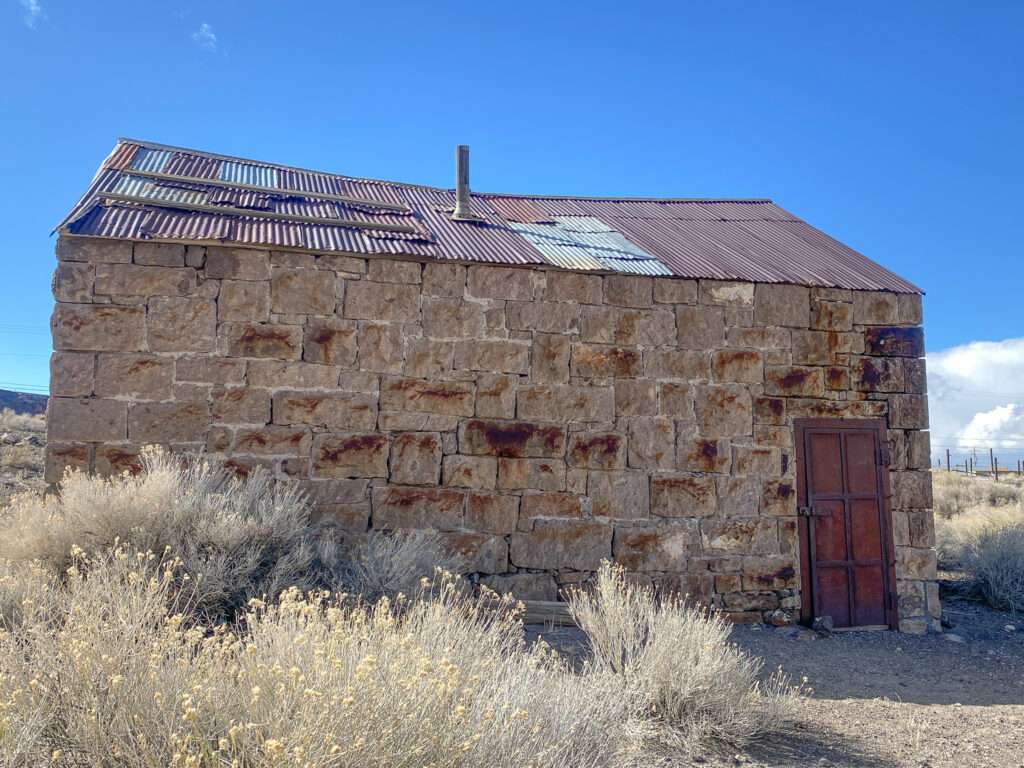
Goldfield’s first jail was operated between 1905 and 1908.
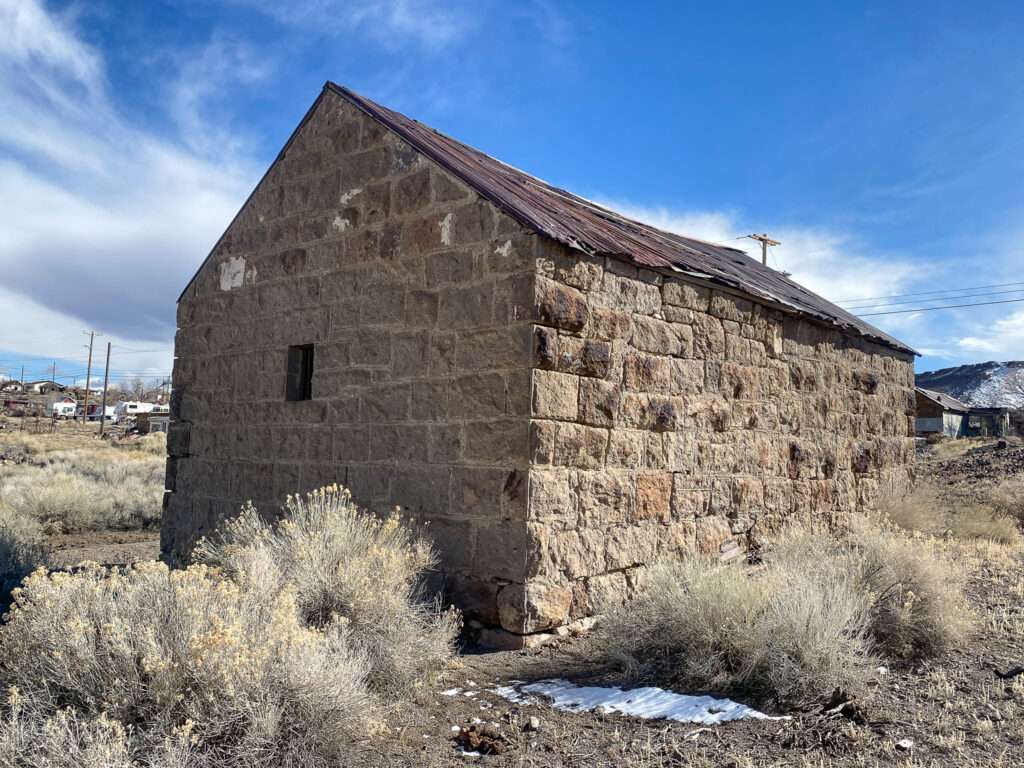
Red-light district house built in 1905
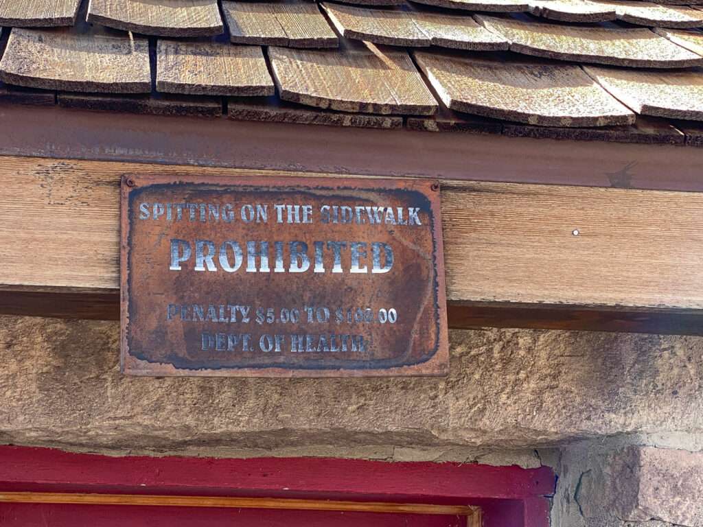
RADIO GOLDFIELD

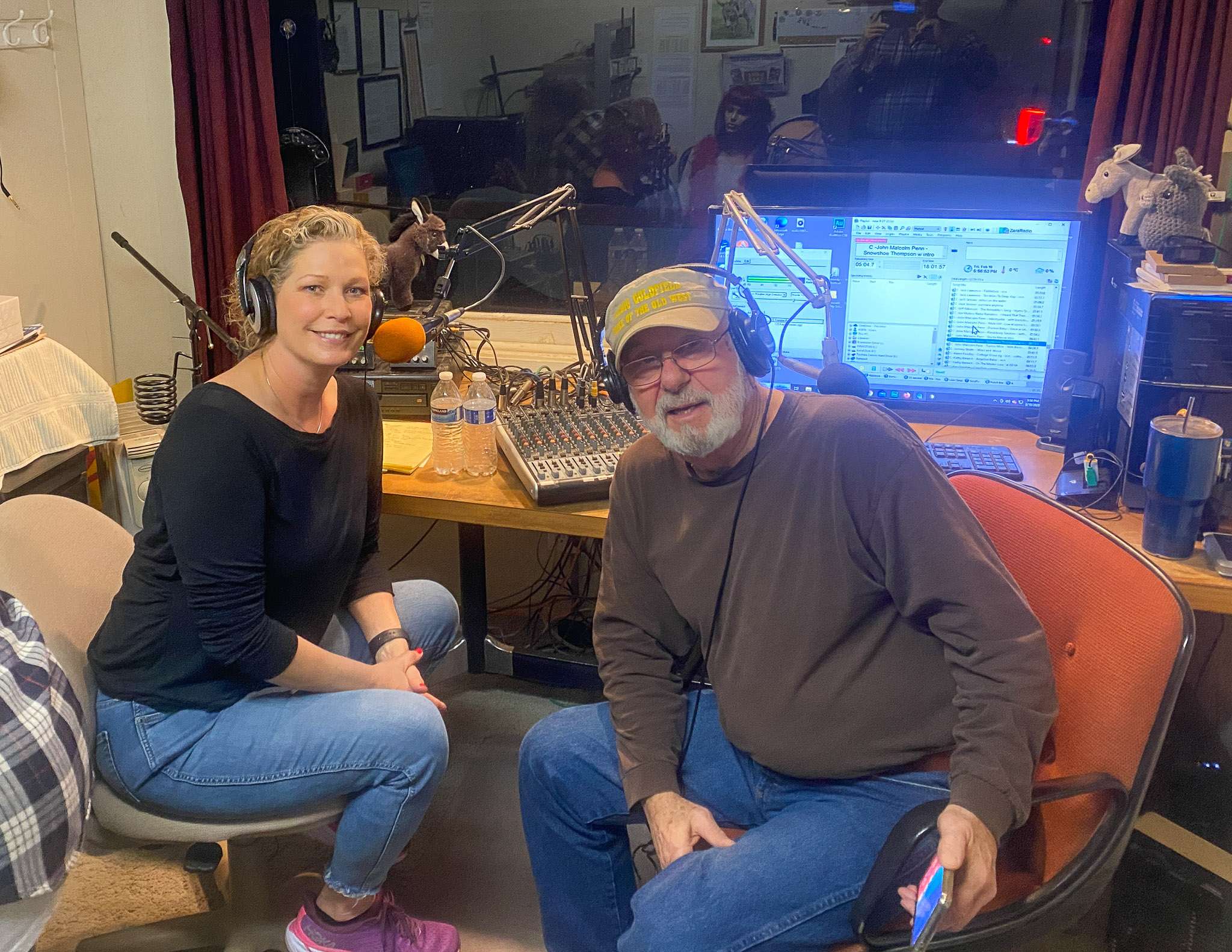
Don’t forget to stop by Radio Goldfield, KFGN, and take a picture with my coworkers Millie and Leon, the Weather Burro.

Radio Goldfield airs Nevada Ghost Towns & Beyond with me Monday through Friday 3:05 & 6:05 am – 1:05 & 4:05 pm (except the 6:05 am will be only on Wednesday and Thursday).
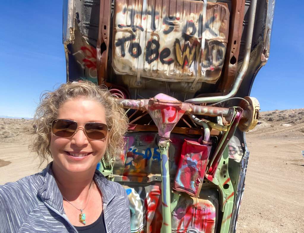
International Car Forest of the Last Church
I loved the photo I took with “Its ok to be wild,” it perfectly sums up Nevada!
On the south end of Goldfield is one of the stranger sites in Nevada, a “car forest.”
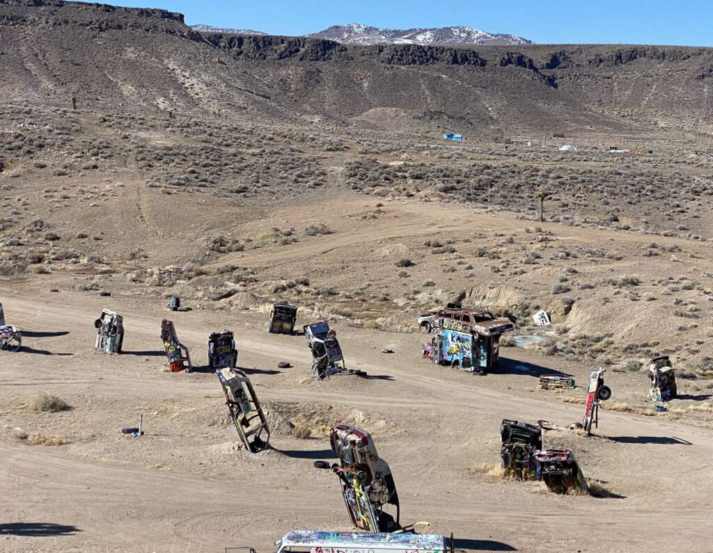
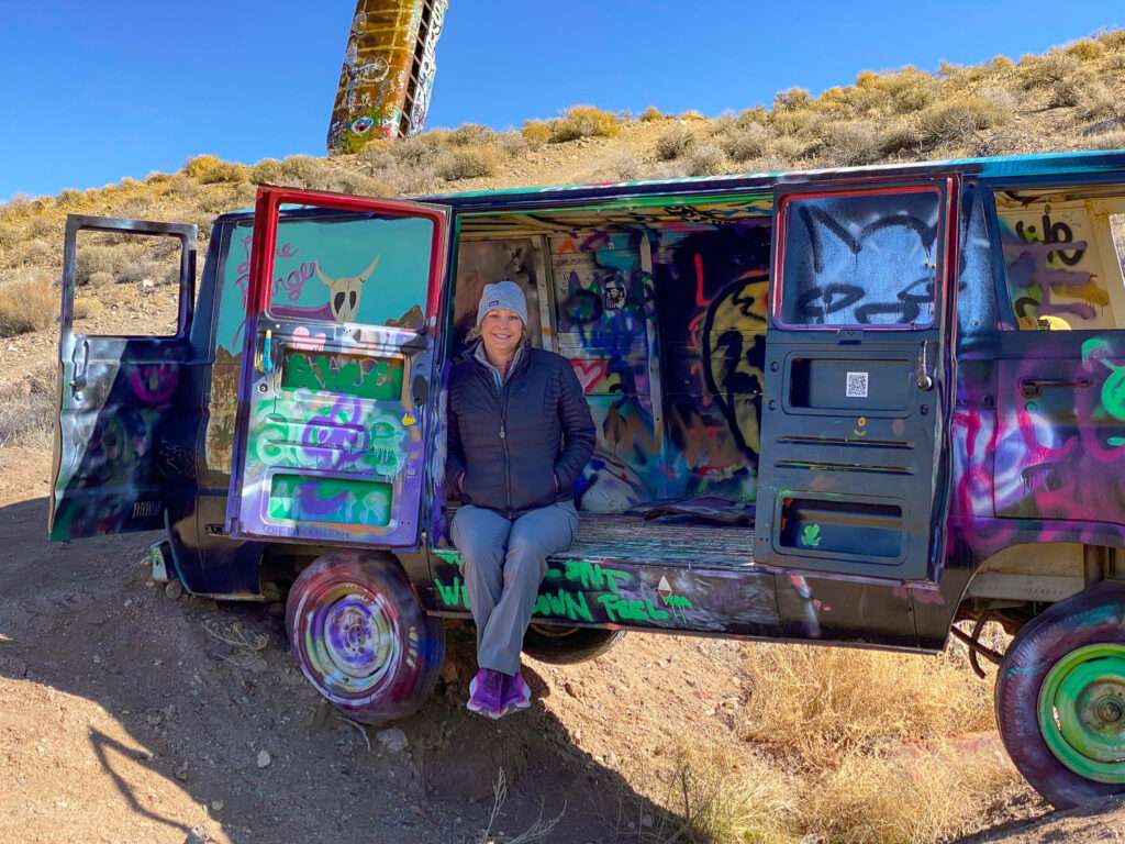
The Car Forest is an open-air art gallery. Goldfield resident Mike Rippee set out to break the world’s record for a “car forest.” Chad Sort and Zak Sargent joined, and the three men were buried, stacked, and hung over forty vehicles. The vehicles act as a canvas for artists; their works constantly change.
GOLD POINT
Gold Point is about 15 miles off Highway 95, but worth the detour.
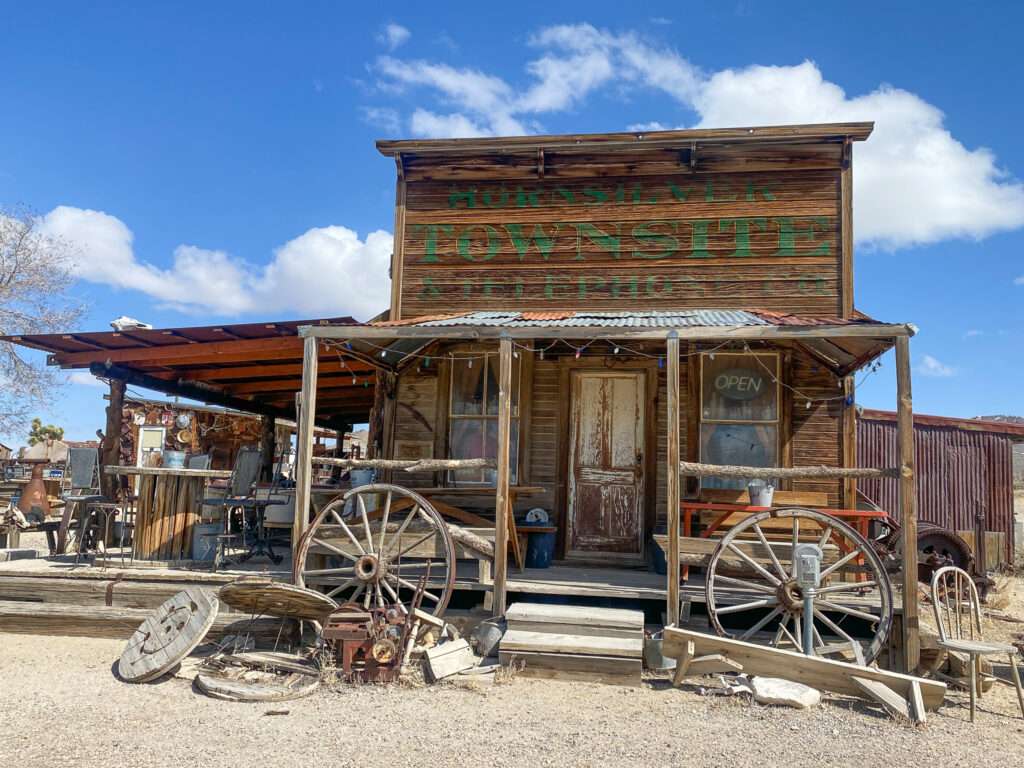
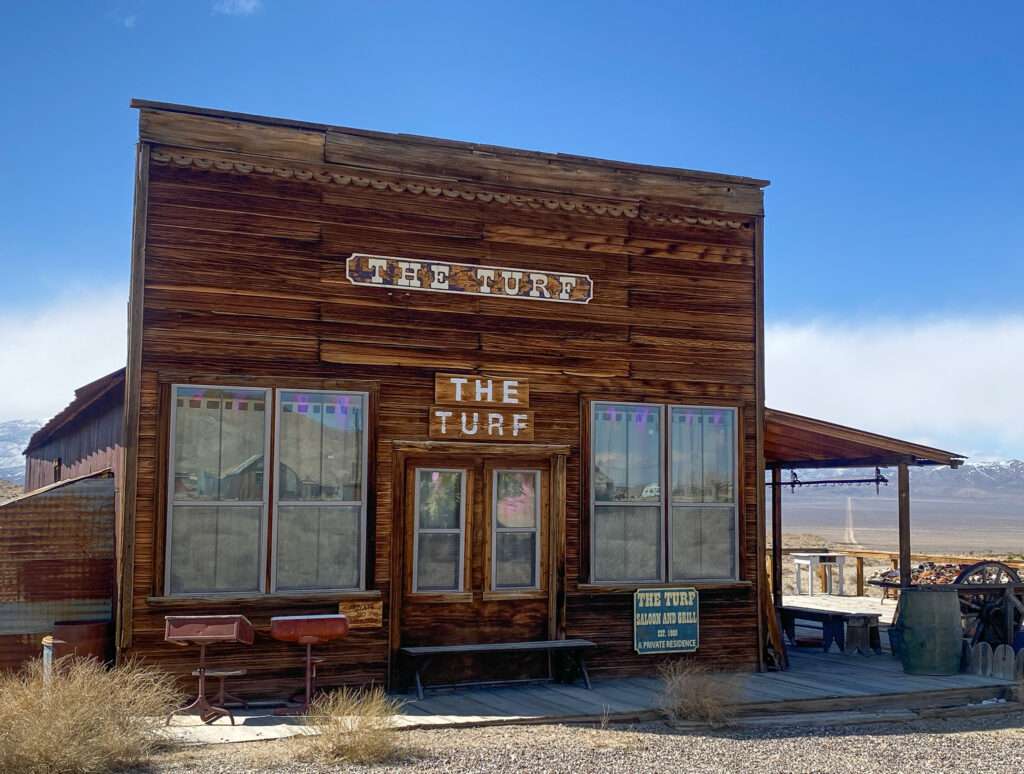
Gold Point is privately owned and started as a silver camp in the 1860s and was known as Silverhorn. In 1932, the name was changed to Gold Point.

Herb purchased many of the Gold Point buildings with proceeds from his lottery winnings. Along with friends, he restored many of the structures and created a bed & breakfast, which are now cabin rentals. Sadly, the Gold Point Saloon was closed. I want to stay at Gold Point again and explore the area more thoroughly.
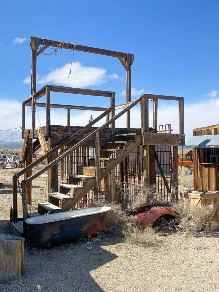
You better behave at Gold Point!
Bonnie Claire
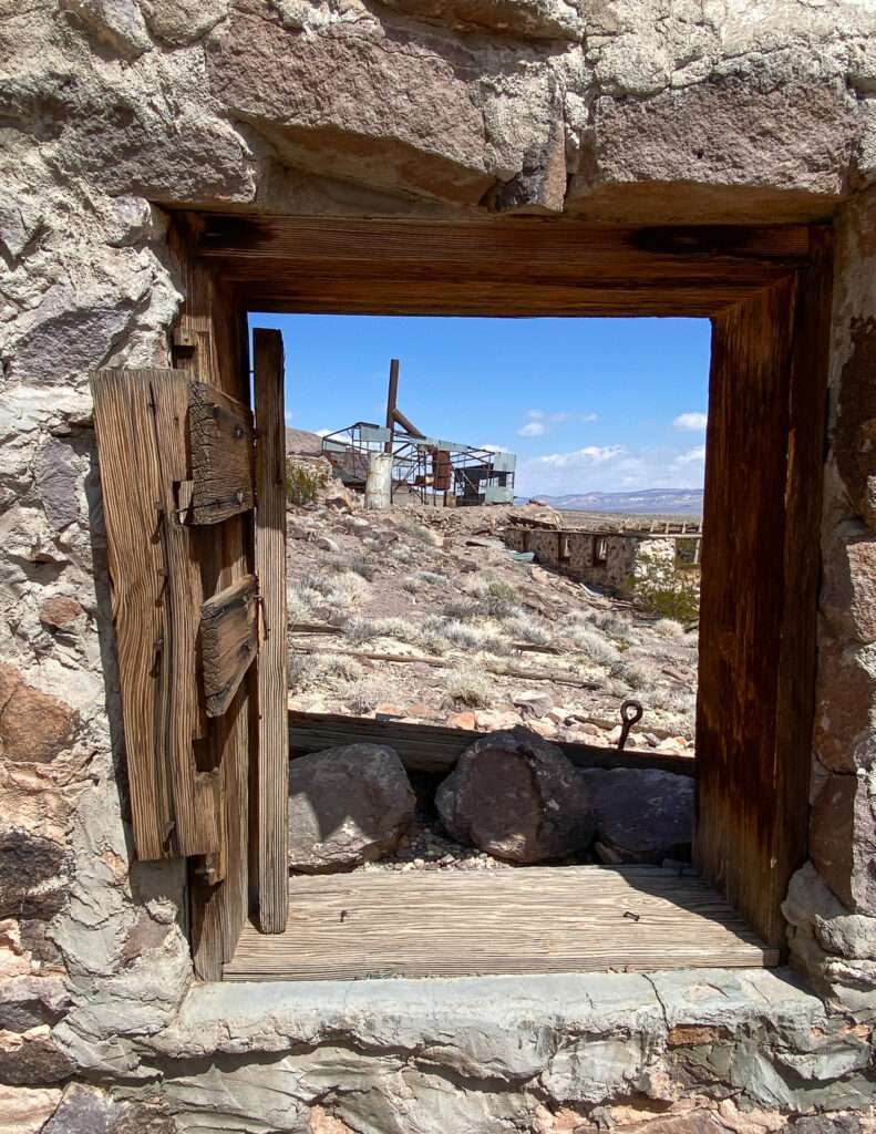
In 1904, the Bonnie Clare Bullfrog Mining & Milling Company erected a small mill on the hill north of town. A post office opened on June 15, 1905. The mill was renovated and expanded in 1910, but a lack of ore caused production to end.
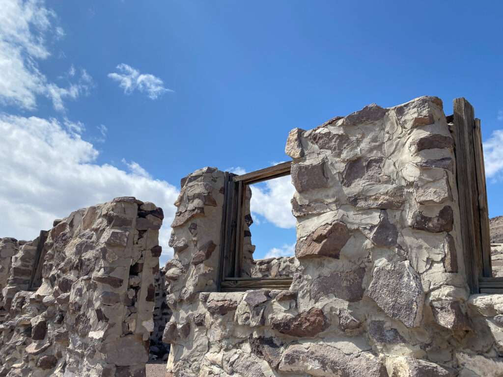
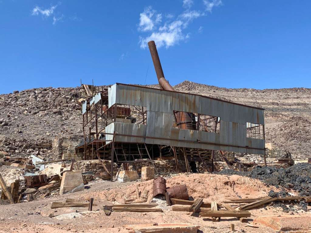

The Bullfrog & Goldfield Railroad reached the station in October 1906. The town was briefly called Montana or Montana Station, then changed to Bonnie Clare on July 19, 1909. Due to clerical errors, the town was spelled with multiple variations, including Clare, Claire, and Clair. The name was in honor of the daughter of an early settler.

(Photo credit: Nye County history)
In the spring of 1907, the Last Vegas & Tonopah Railroad arrived, making Bonnie Claire a bustling town of one hundred with stores, train depots including a two-story LV&T station, and saloons.
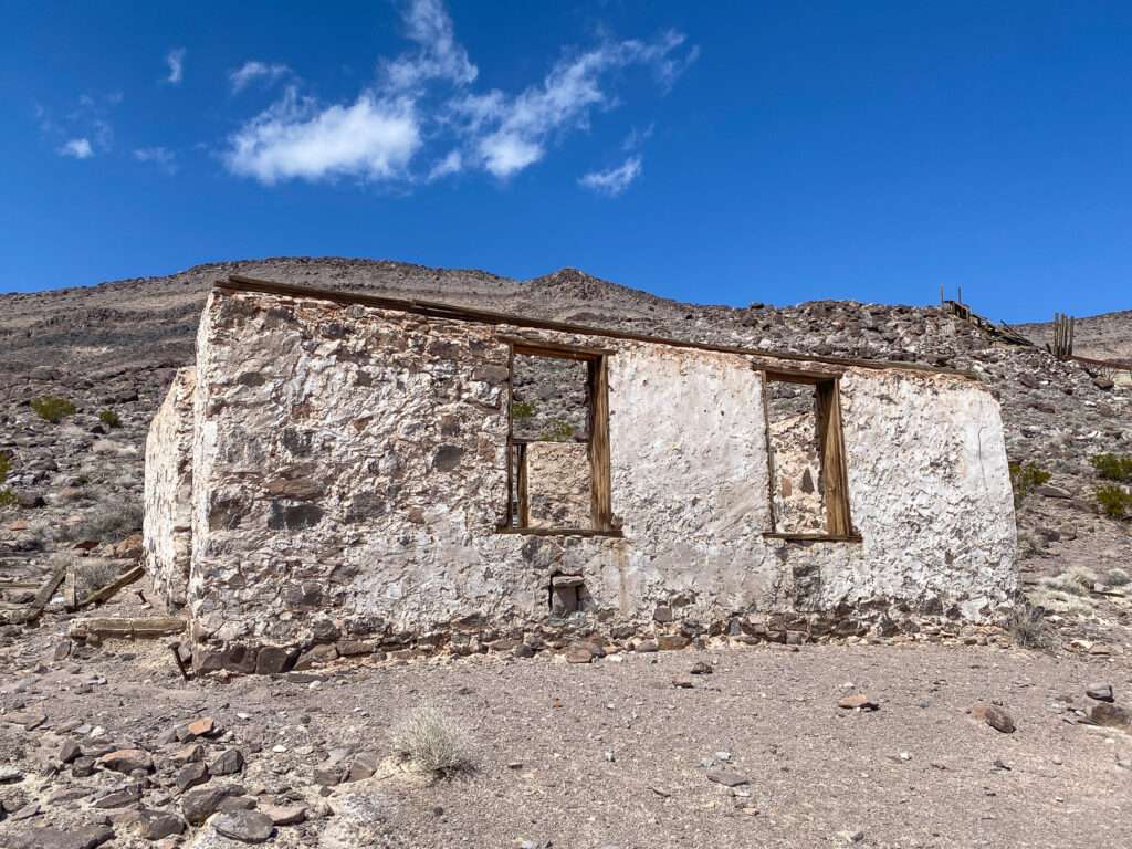

As the Bullfrog district declined, so did Bonnie Claire. Railroad traffic declined in 1909. However, a new mill was opened in 1913, extending the town’s life. In the 1920s, Bonnie Clare served as a railroad stop for supplies for the construction of Scotty’s Castle.
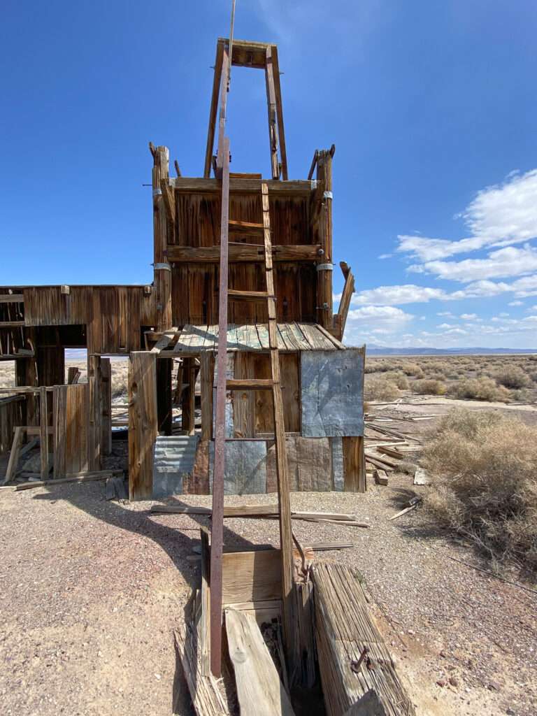
The post office ceased operations on December 31, 1931. Nic-Silver Battery Companies began building a lead mill and smelter at the old Bonnie Clare Mill site in 1951 to process lead from Death Valley mines. The mill only lasted a few years before it was abandoned, making Bonnie Clare a ghost town.
Springdale
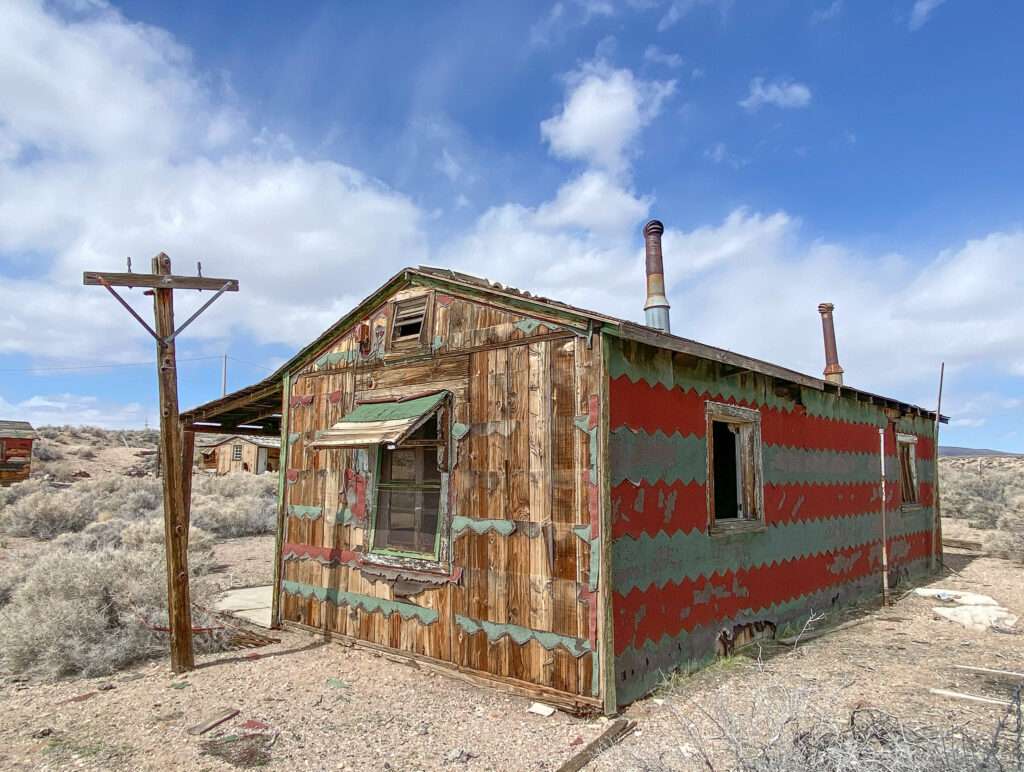
Native American campgrounds and ranches inhabited the meadows around Springdale in the 1800s.
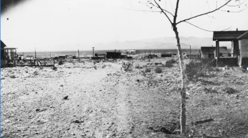
(Photo credit: UNLV)
With the arrival of the Bullfrog Goldfield Railroad in the winter of 1906-1907, the railroad built a section house to take advantage of the abundant water. Springdale became a supply center and transportation center for nearby Pioneer. The town grew to include restaurants, boarding houses, and a livery stable. Four saloons operated along with a brothel worked by a dozen prostitutes.
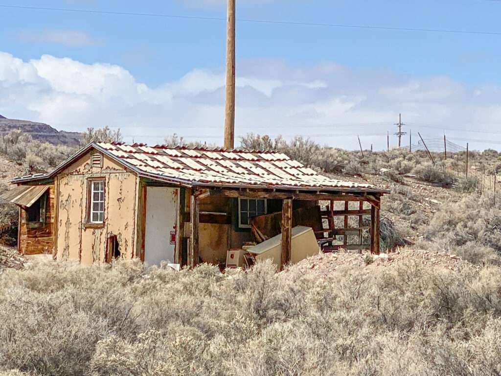
With the decline of Pioneer 1911, Springdale faced the same fate. The post office closed in 1912.
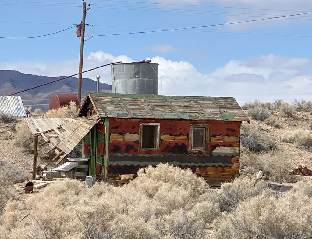
Springdale became known as a hangout for bootleggers. A service station operated until 1958, when Highway 95 moved west of town.

(photo credit: Wikipedia)
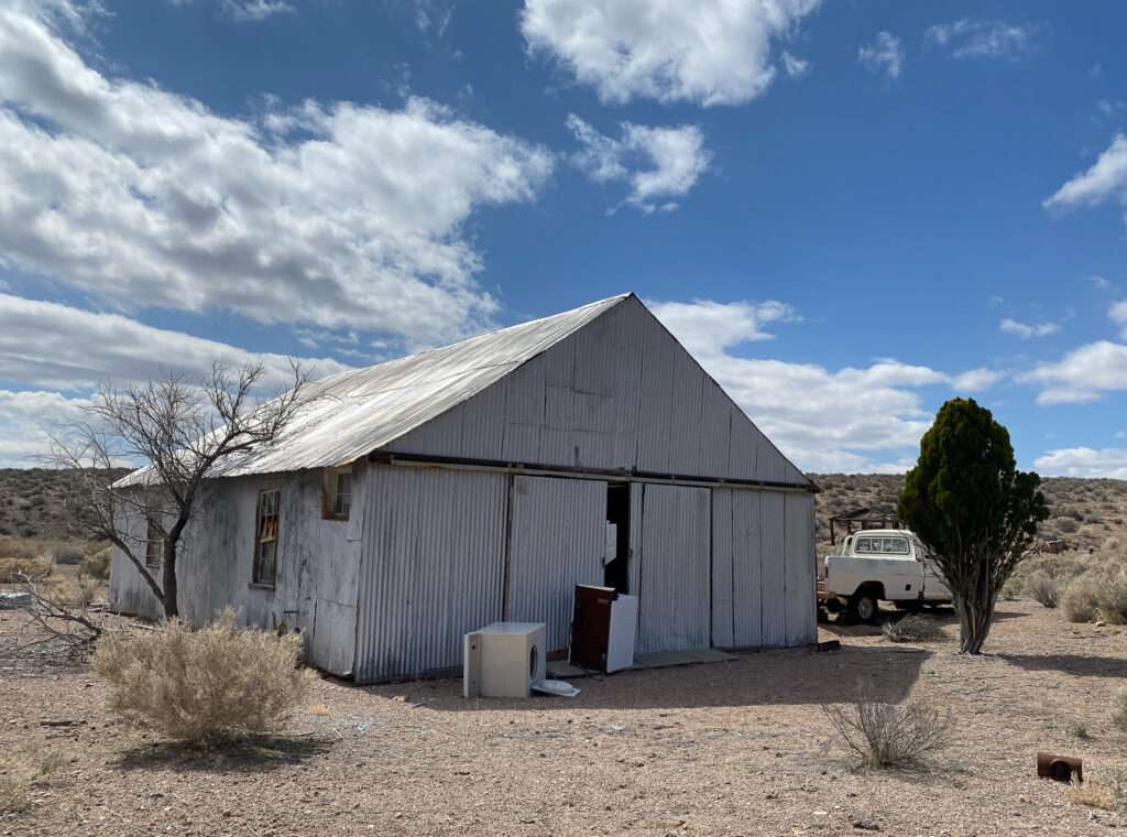
Springdale is on a private ranch. Across the street are several buildings which appear newer than the original town. They are on private property, so we photographed them from the highway.
Torrance Ranch Preserve
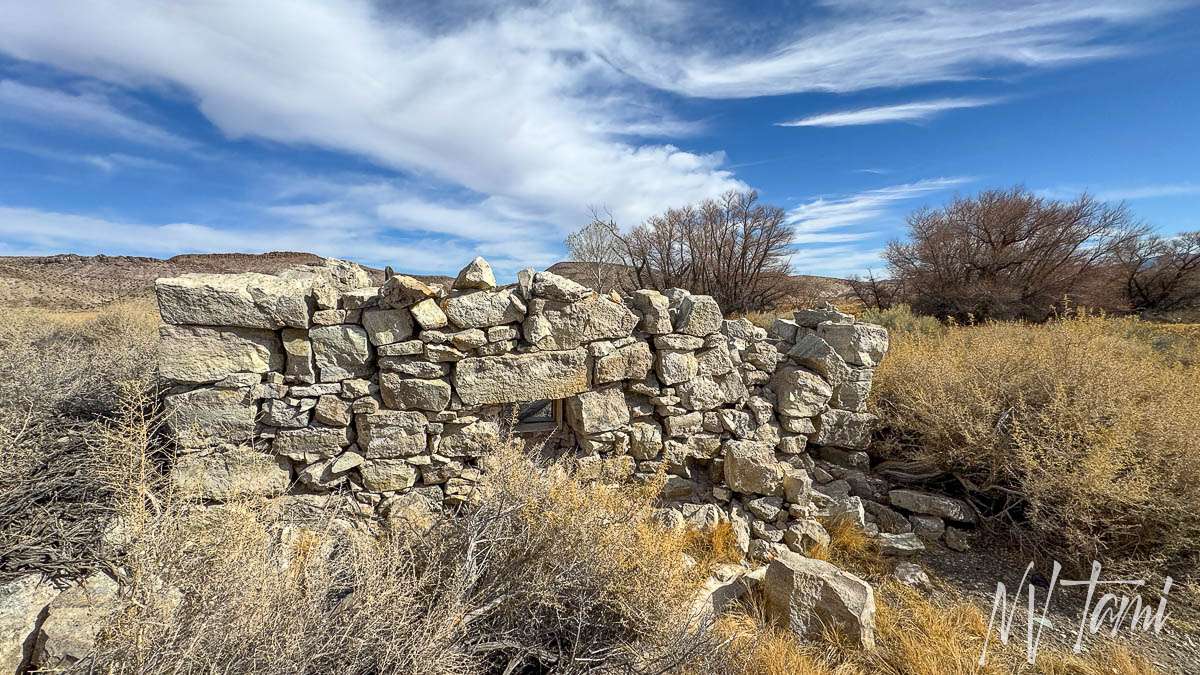
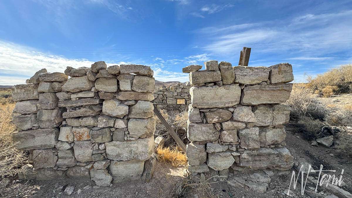
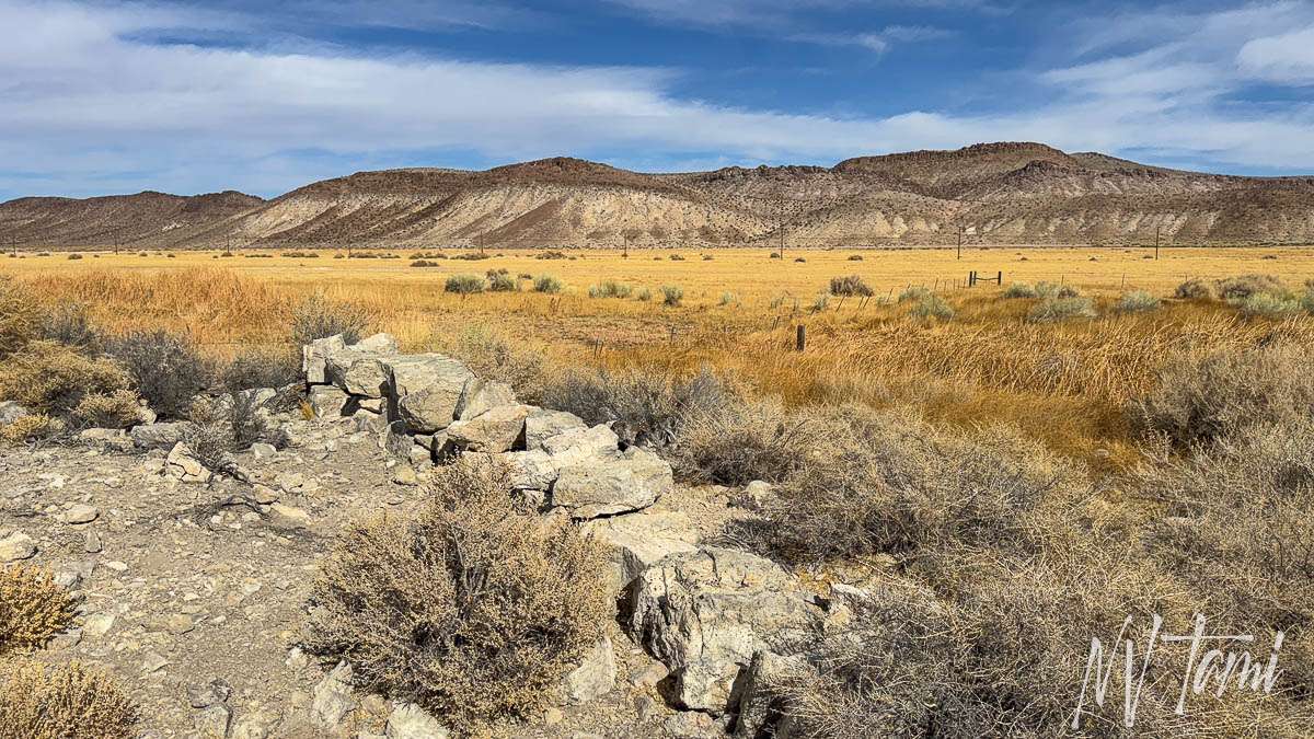
The Torrance Ranch is located along Highway 95 and was once on a spring. The Nature Conservancy purchased the property to protect the spring habitat of the Armagosa Toad. On the north side of the property is what is described as a miner’s cabin. The ranch has walking and interpretive trails.
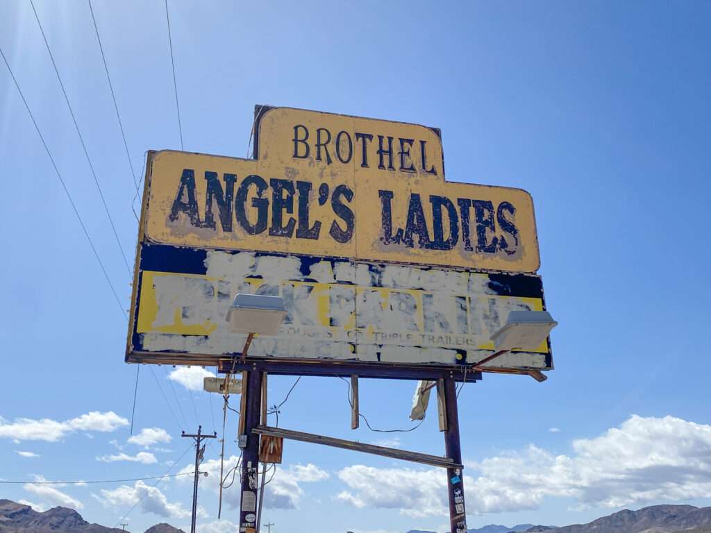
ANGEL’S LADIES
North of Beatty, a downed aircraft sits on the side of the highway at a 45-degree angle. The fuselage is intact but the electronics and engines were removed. Graffiti covered the hull, including “FL Girls 2022,” written in red spray paint. Stickers cover the area below the pilot’s side window and where the engines were once mounted.
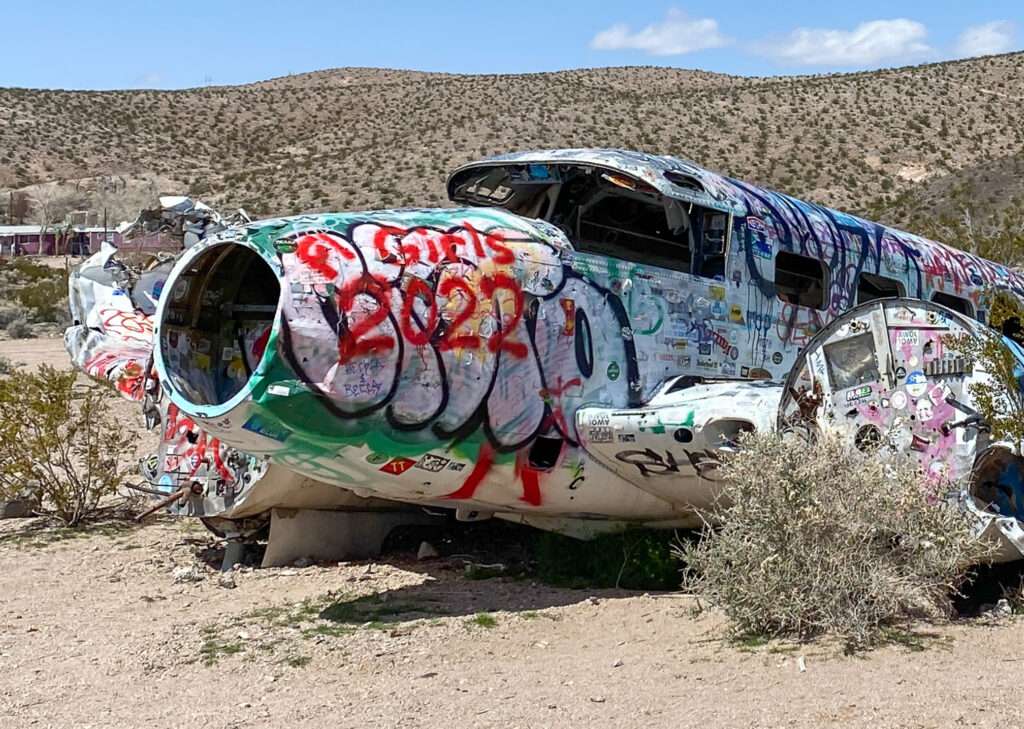
Before 1960, the brothel was known as the Circle C Ranch and later Vickie’s Star Ranch. In 1997, the seventy-acre “ranch” and 5,000-square-foot brothel were purchased by Mack and Angel Moore and renamed “Angel’s Ladies.” In the 1970s, owners developed an interesting, if not questionable, marketing strategy to increase business.
Sticking with Star Ranch name, they drew a large star on the earth, placing a mattress in the center. The brothel provided a plane and parachute to adventurous clients. If a client jumped out of the plane and landed on the mattress, he would win a night with the lady of his choice. What could go ever go wrong with that plan?
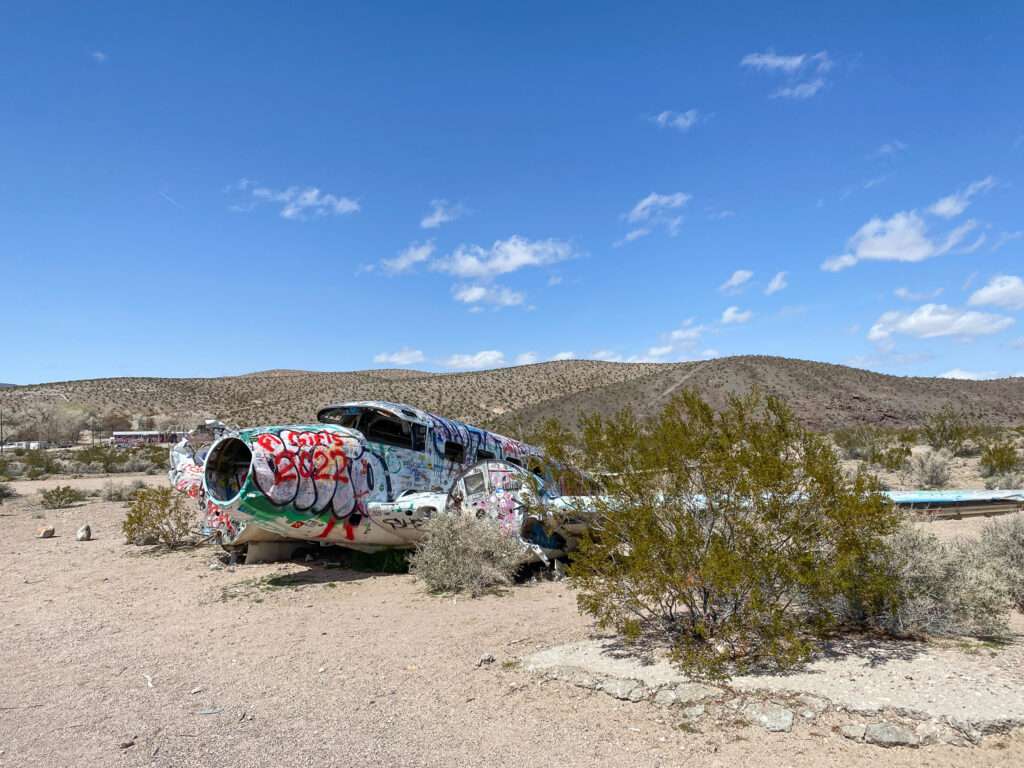
On May 28, 1977, the brothel’s Beechcraft C-45 departed from Davis, California, bound for the Star Ranch. Not surprisingly, the stunt did not go as expected. The twin–engine aircraft struck wires or a pole and crash-landed on the property. The pilot and passengers must have had angels looking over them as they all survived.
It turns out an inexperienced pilot, strong Nevada winds, and scantily-clad ladies of the evening don’t mix very well, only in Nevada!
More ghost towns from Schurz to Beatty
Beatty
Beatty is known for two things: being a gateway to Death Valley and the ever-popular road trip stop, the Death Valley Nut and Candy Company. Travelers fill the hotel rooms at night but leave early the next day to continue their journey between northern and southern Nevada or head into Death Valley National Park. Some visit the spectacular ghost town of Rhyolite, but otherwise, few explore the surrounding area. Many don’t realize that ghost towns surround Beatty, enough to keep you exploring for days. Even walking around Beatty is a history lesson; many of the buildings were moved from the famous ghost town Rhyolite.
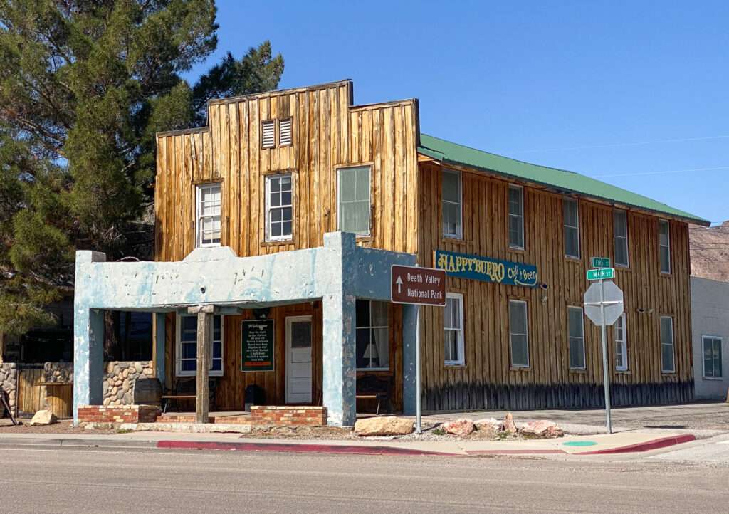
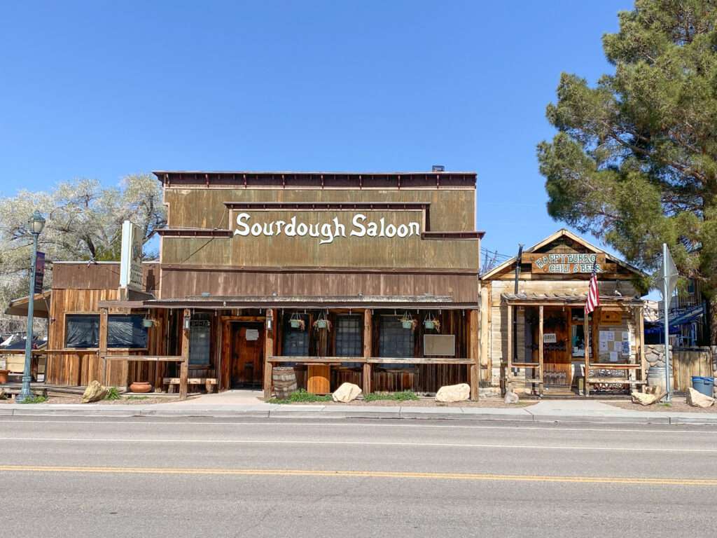
The Happy Burro Hostel building was moved from Rhyolite around 1907 as a “hotel brothel.”
The Beatty School was built in 1928. The unique roof was relocated from the Rhyolite school.
The Levy Ice & Bottling Plant was built in 1905. It was used for ice, bottling and cold storage.
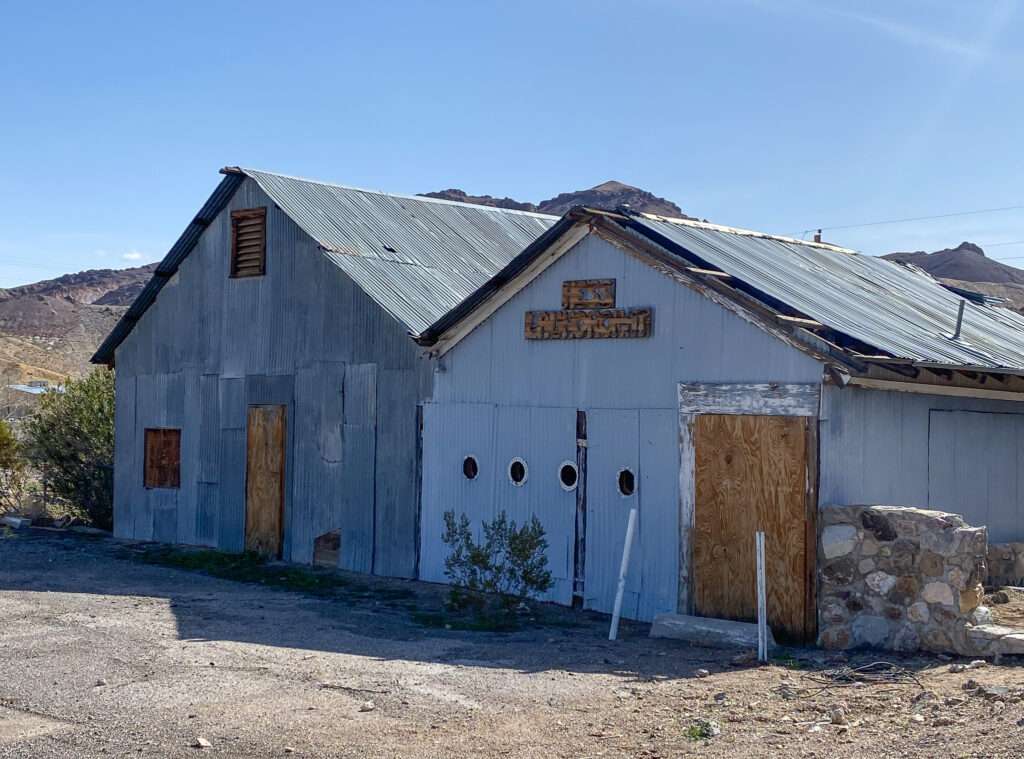
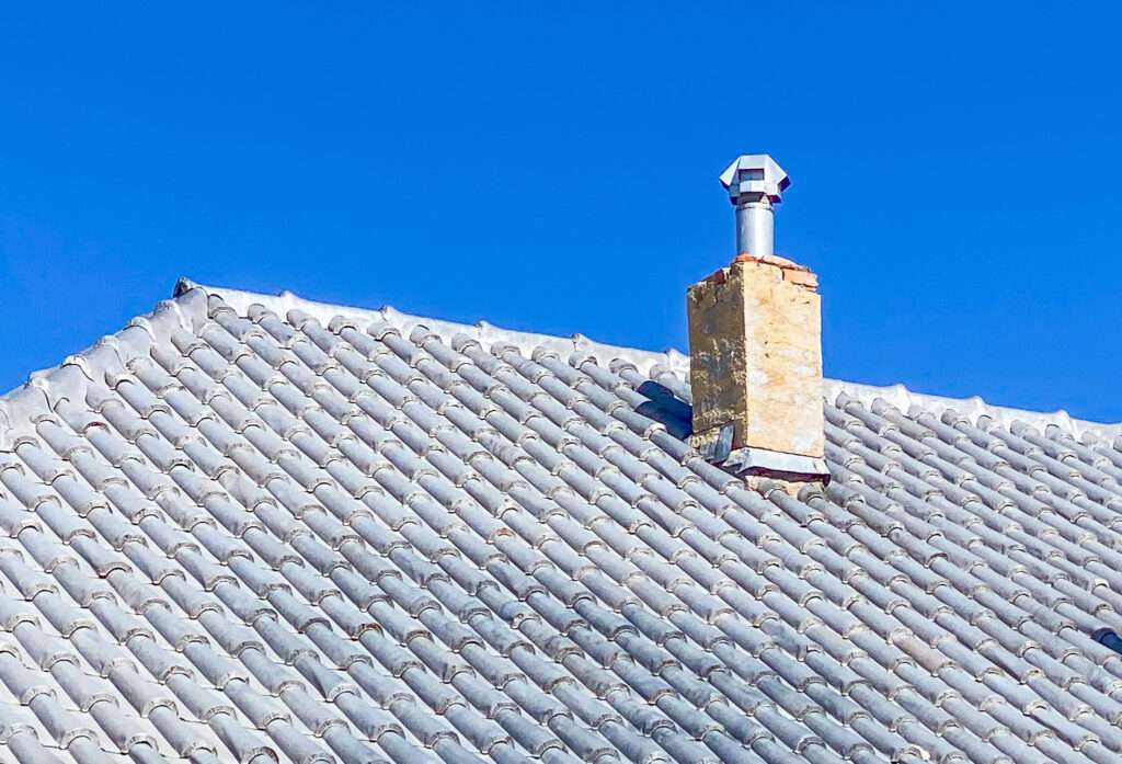
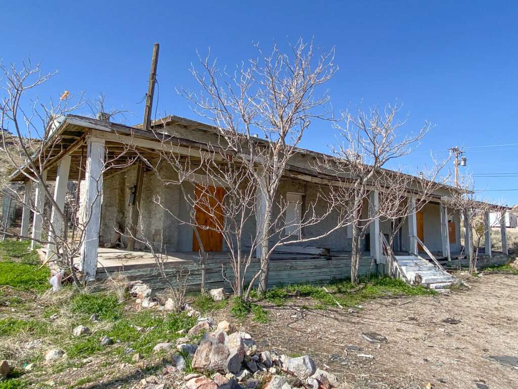
Do you have Hope, or are you, Beyond Hope?
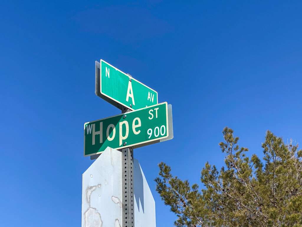

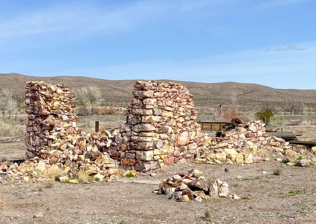
At the north end of Beatty, across from the Death Valley Nut and Candy Company, is an old Ranch house.
Eddy World
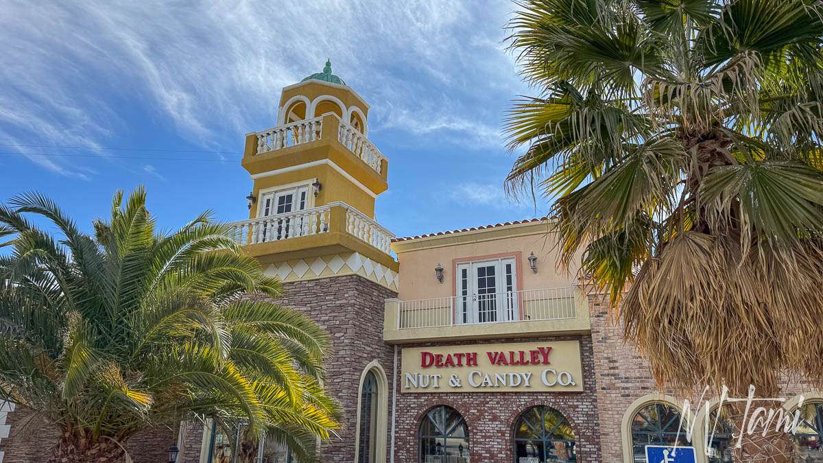
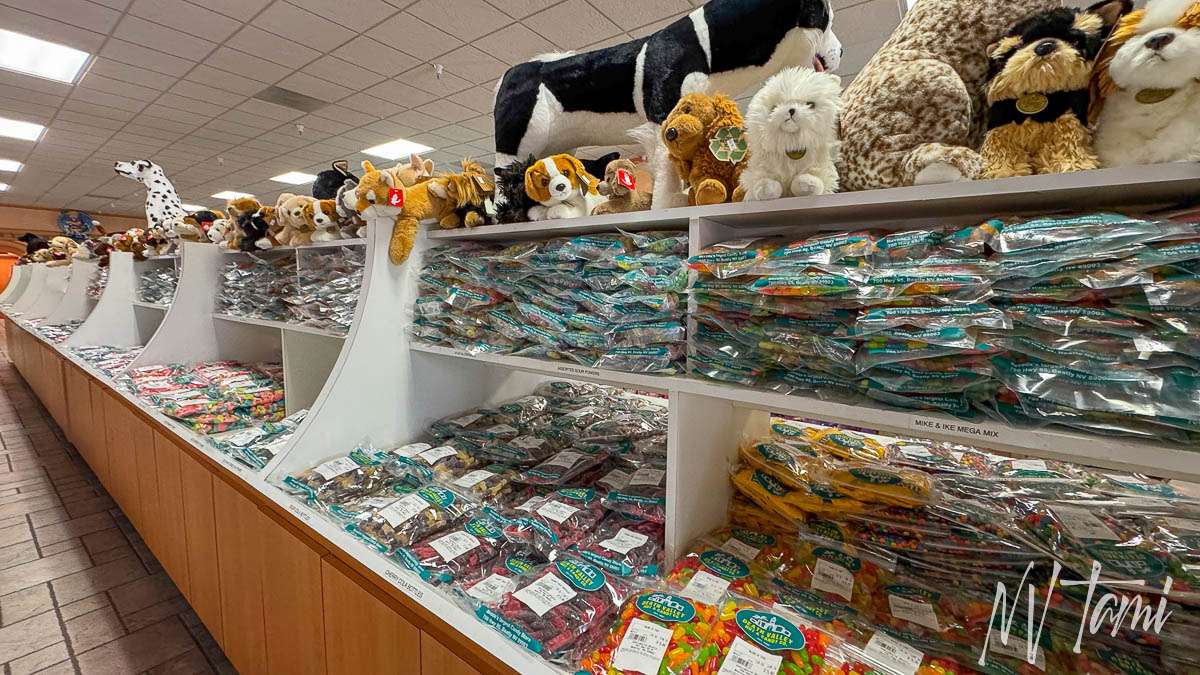
I’m not sure you can say you have been to Beatty if you haven’t visited Eddy World. It is a must-visit on Highway 95 trips. It is a combination gas station with clean and plentiful restrooms. Inside the huge store is a coffee shop, ice cream counter, gourmet jerky bar, Death Valley souvenirs and toy store. The best part? Death Valley Nut & Candy Company has aisles and aisles of candy and nuts and candy-covered nuts! They also have the best selection of drinks, sure to please everyone.
You can grab a sandwich at Subway. The coffee shop has amazing breakfast burritos stuffed with fresh veggies.
Rhyolite
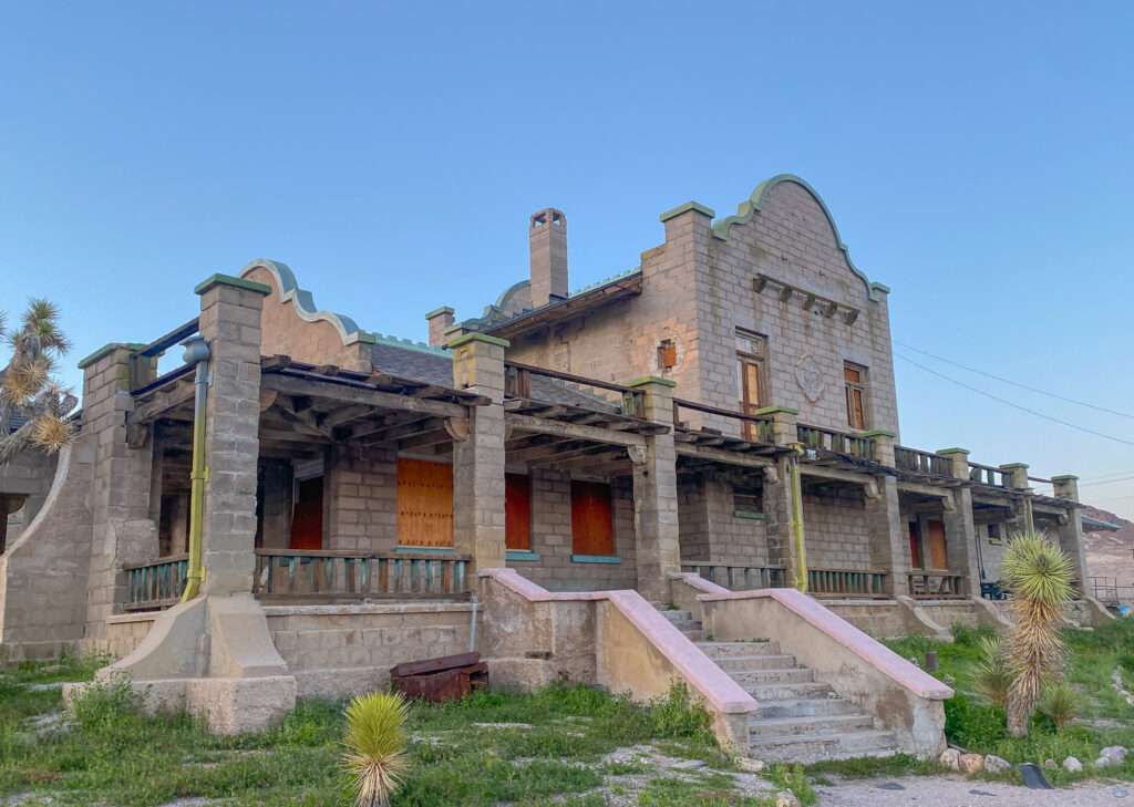
Rhyolite is the Queen of Nevada ghost towns. After visiting ghost towns full-time for the last three years, I can safely say that, hands down, Rhyolite has the best ruins of any ghost town in Nevada.
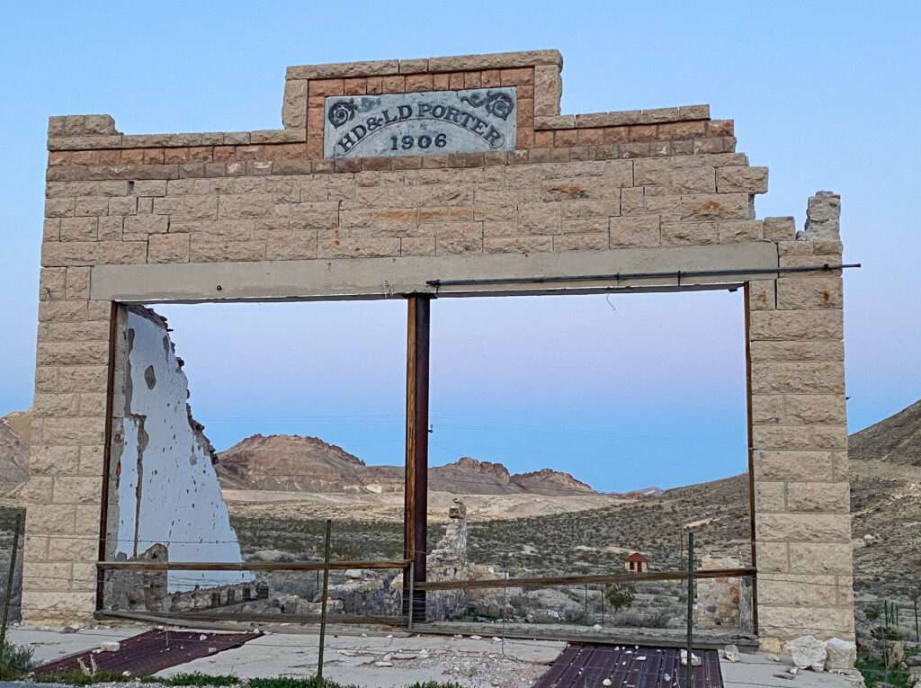
Rhyolite was plotted in 1905 close to the biggest producing mines. Developers gave free lots to merchants and the town sprung to life overnight. The burgeoning town was first rag, then tent dwellings, followed by tent saloons and stores.
By 1907, an astonishing 6,000 residents called Rhyolite home. The desert jewel had hotels, restaurants, saloons, three water companies, electric lights, an opera house, and public swimming pools.

As quickly as Rhyolite came to life, the bright star faded. Many moved to Los Angeles or Las Vegas by the decade’s end. By 1910, only 700 souls remained, and the town was abandoned ten years later.

Bullfrog

In 1905, the town of Bullfrog was platted below Rhyolite. Armagosa City relocated to the site, starting the town of Bullfrog.

The fight between the two towns centered on water. Within a year, Bullfrog had a population of over 1000, a water system, a bank, a hotel, a business district, telephone service and a fast auto stage. In 1906, Ryolite won the battle and businesses and buildings moved to Rhyolite. Some fine homes remained in Bullfrog, and post office lasted until 1909.

Bullfrog/Rhyolite cemetery
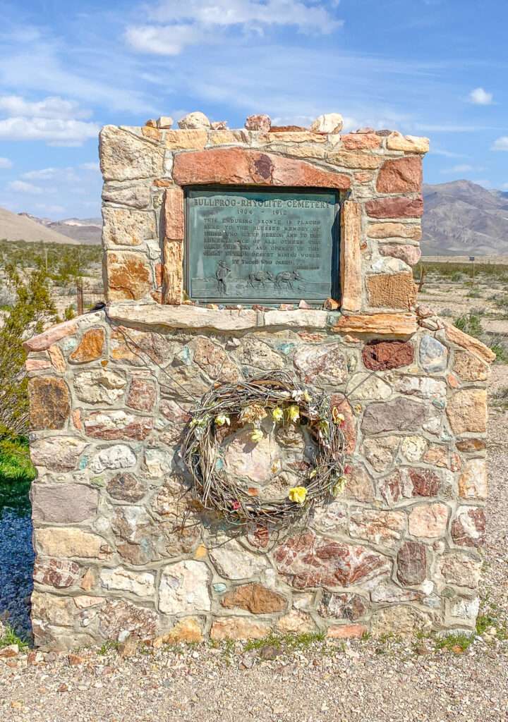
The Bullfrog/Rhyolite cemetery was in use between 1904 and 1912. Aside from a memorial, most graves and headstones have faded into the desert. While some are marked with names and dates, many only have a cross made of wood or rock, or are unmarked.

At the northwest corner of the cemetery lays the final resting place of “Panniment Anne.”

(Photo credit: Cobbwebb Media)
Goldwell Open Air Museum
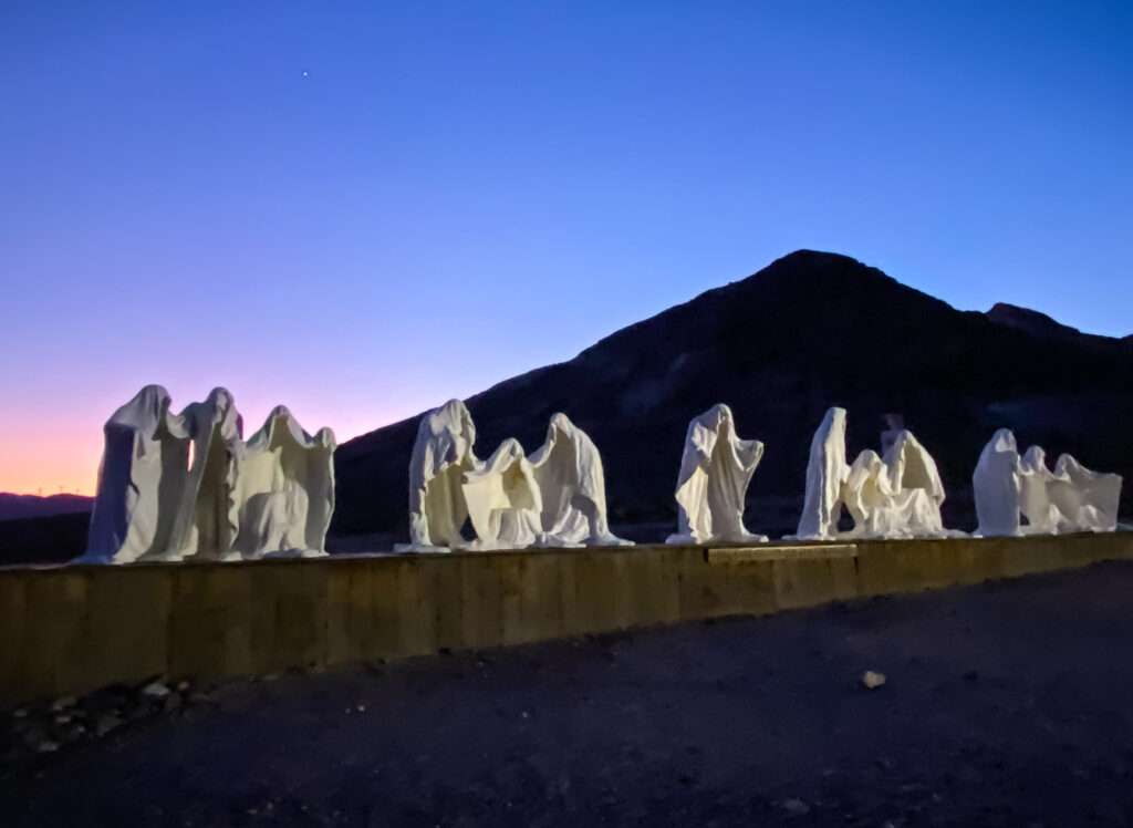
While it isn’t a ghost town, you can’t visit the area and not stop at the Goldwell Open Air Museum. The museum is free but accepts donations. They have a small museum of historical photographs from Rhyolite.
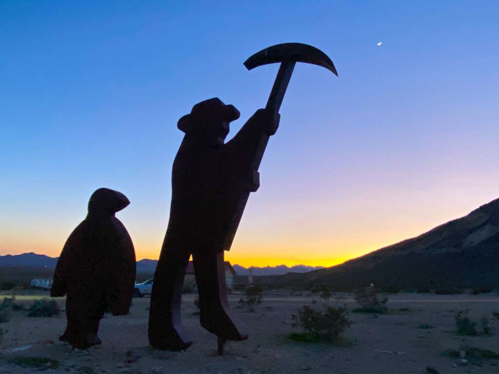
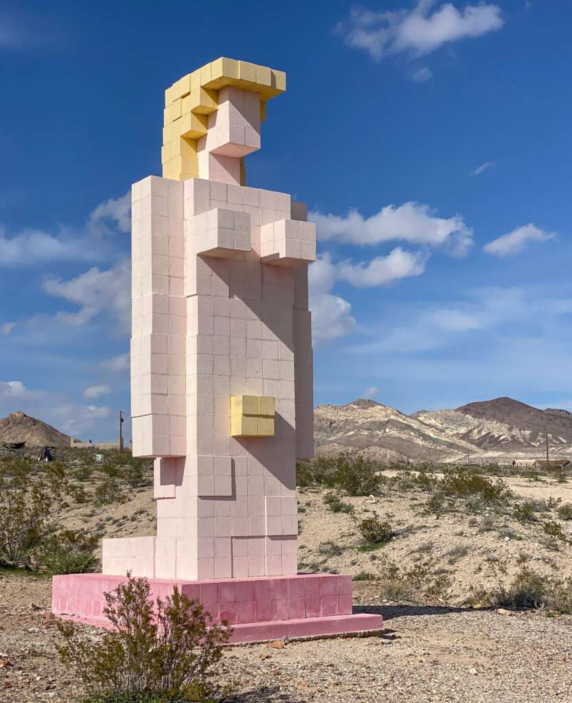
More places to visit around Rhyolite and Beatty
Gold Center Mill and ghost town
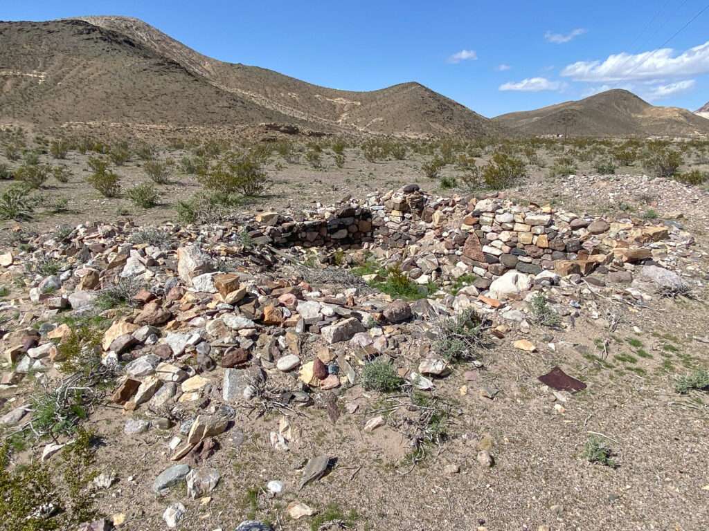
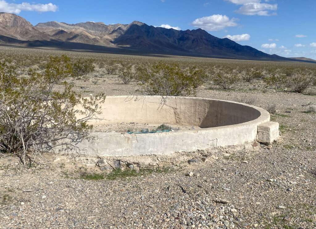
Developers created Gold Center to provide water for the Bullfrog district. The name is a mystery as there was no gold, nor was the town the center of anything.
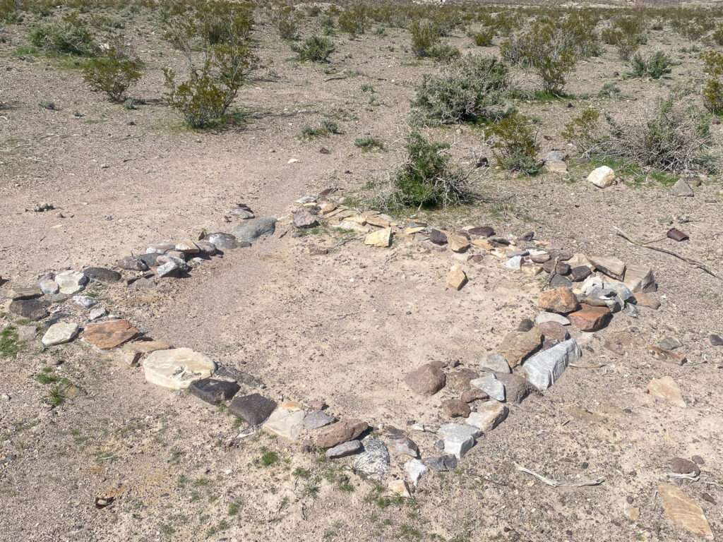
The town boomed with the arrival of the Las Vegas & Tonopah Railroad in May of 1906. It became the terminus for the Las Vegas & Tonopah Railroad and the shipping center for Rhyolite.
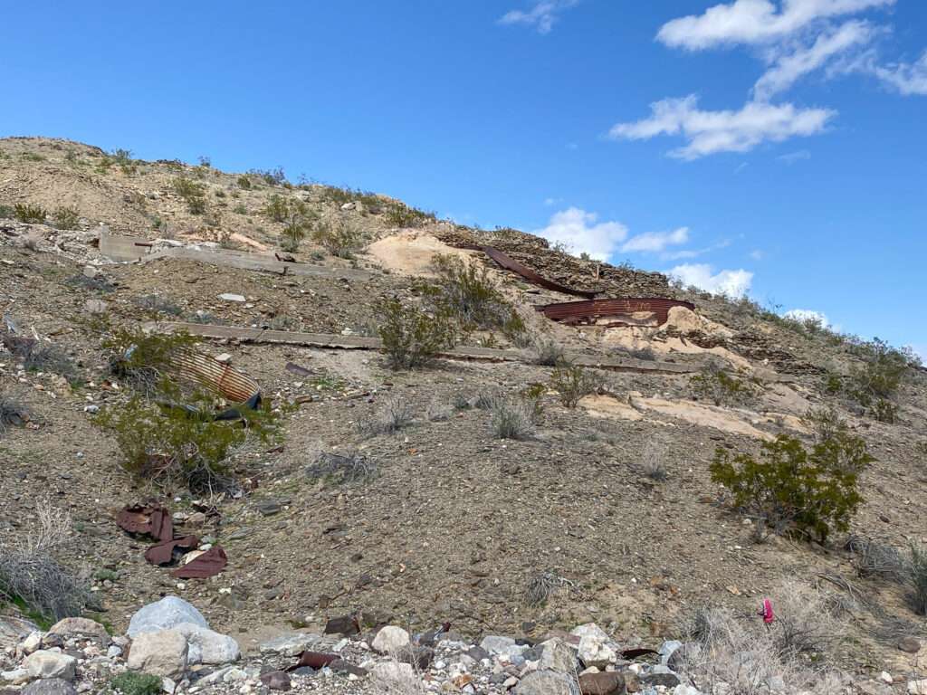

1907 was the height of Gold Center. The town had a post office, bank, and newspaper. It boasted an ice house and local draft beer from the Gold Center Ice and Brewing Company.
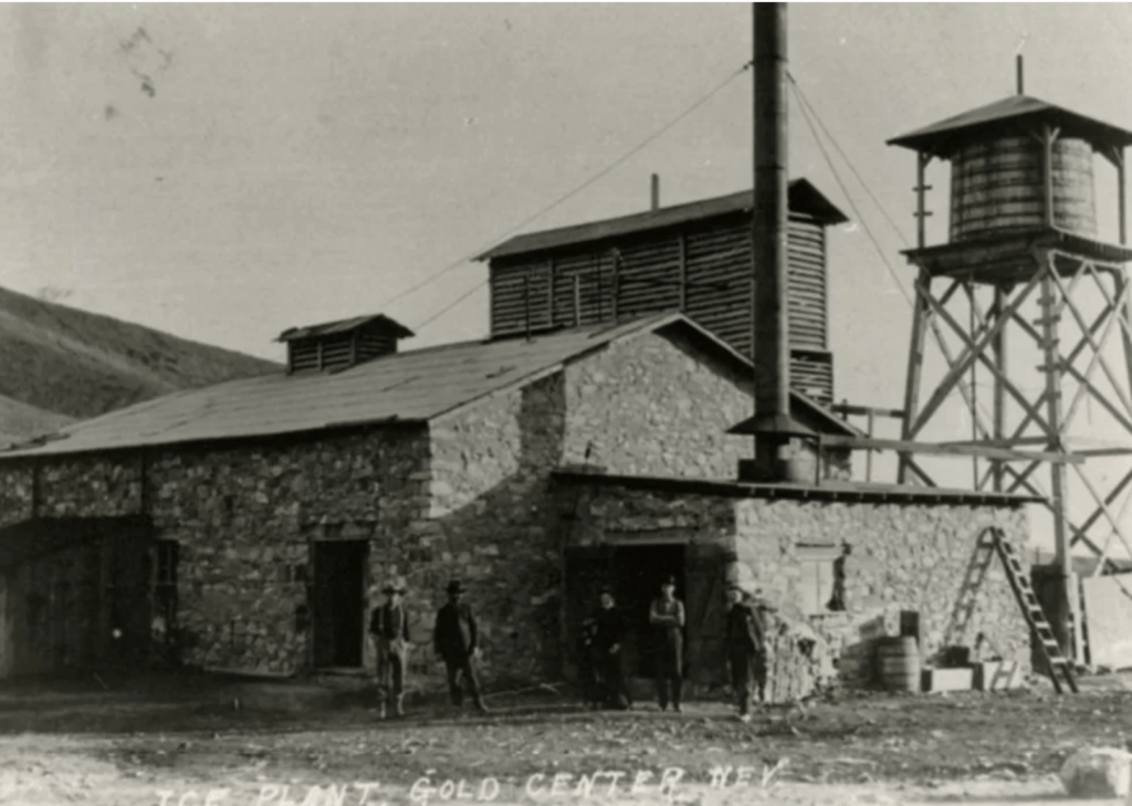
(photo credit: UNLV)
Mining exploration wasn’t productive, but the town had a 30-ton mill that operated briefly. As the Bullfrog District faded, Gold Center became a ghost town.
CARARRA
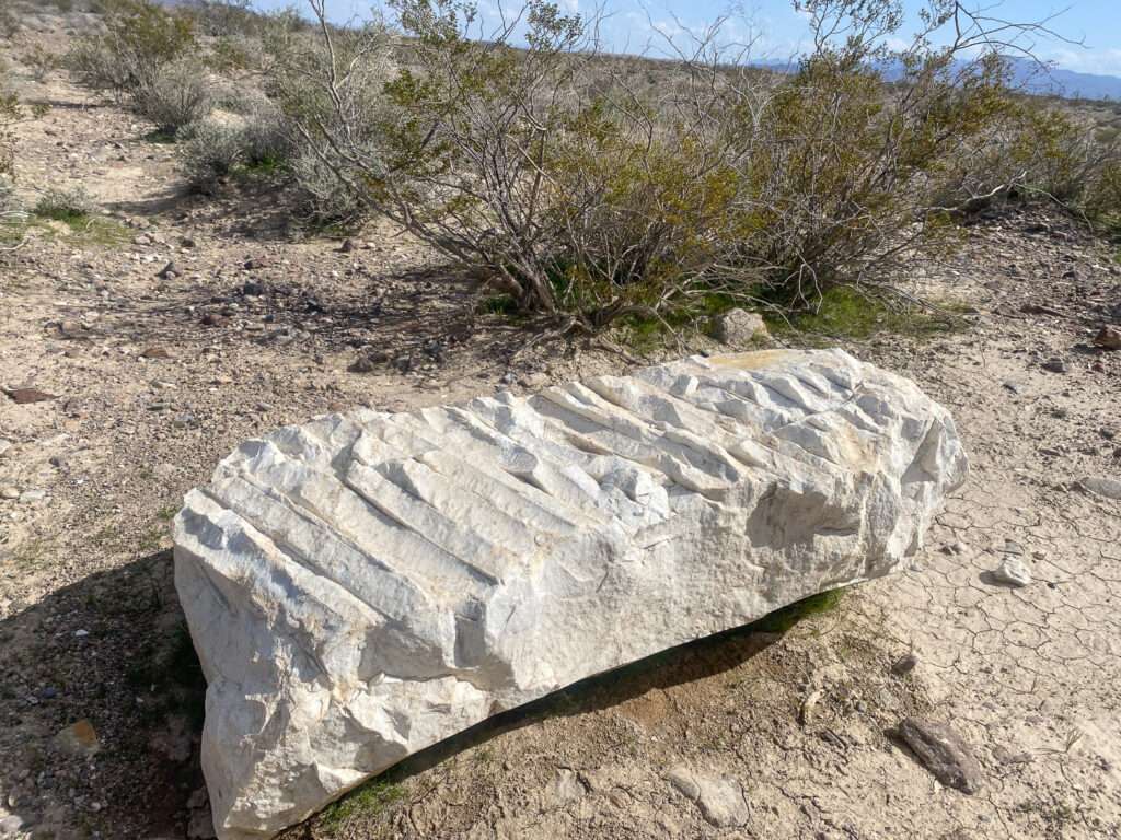
Marble was quarried south of Beatty beginning in 1904. Unfortunately, the marble was too fractured to cut large pieces. In 1911 additional marble was located.
The Las Vegas & Tonopah Railroad was conveniently located at the bottom of the range from the quarry. The company laid tracks for a private cable tram, nicknamed “The Carrara Pacific,” to connect the quarry to the railroad. The marble was shipped to Los Angeles for processing.
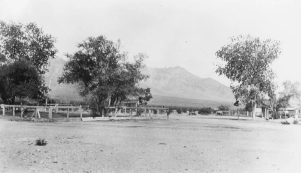
(Photo credit: UNLV)
The American Carrara Marble Company laid out a town for workers. They named the new city in honor of the famous Italian marble, Carrara. The town was dedicated on May 8, 1913, with a band from Goldfield, dances, baseball games, and swimming in the town pool. They moved buildings from Beatty and Rhyolite to make Cararra appear further developed than it was.
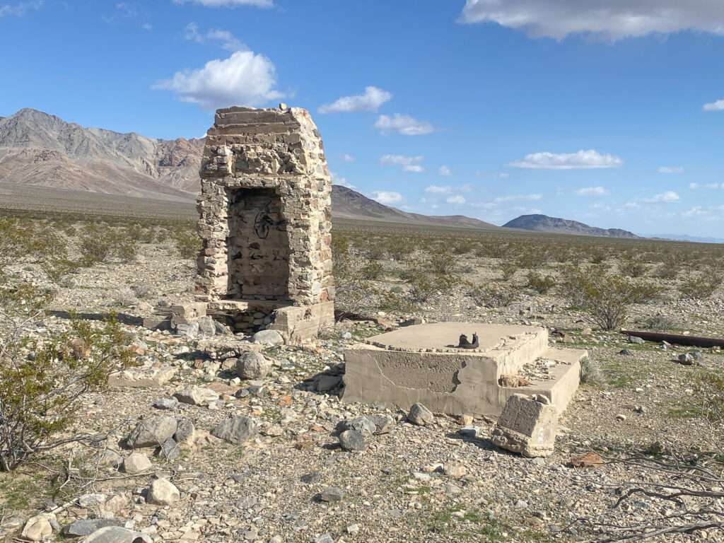
Cararra grew to include a post office, newspaper, restaurant, and stores. One hundred people resided in the new town. The town peaked between 1915-1916, with 150 residents.
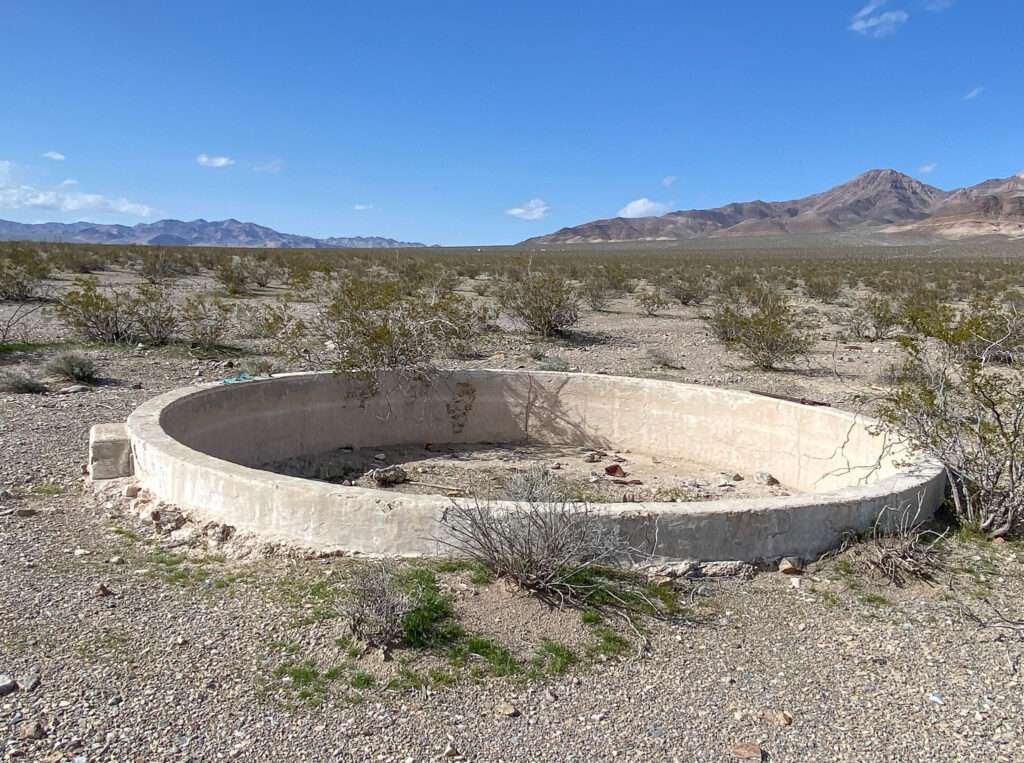
The town was most known for its fountain. The local newspaper, the Carrara Obelisk, boasted, “It was the only public fountain in Nevada!” It sat in a small park filled with poplar trees in the town center. A stream of 30 feet of water would shoot into the air; at night, colored lights adorned the fountain. Cararra became known for the catchphrase “Meet Me at the Fountain.”
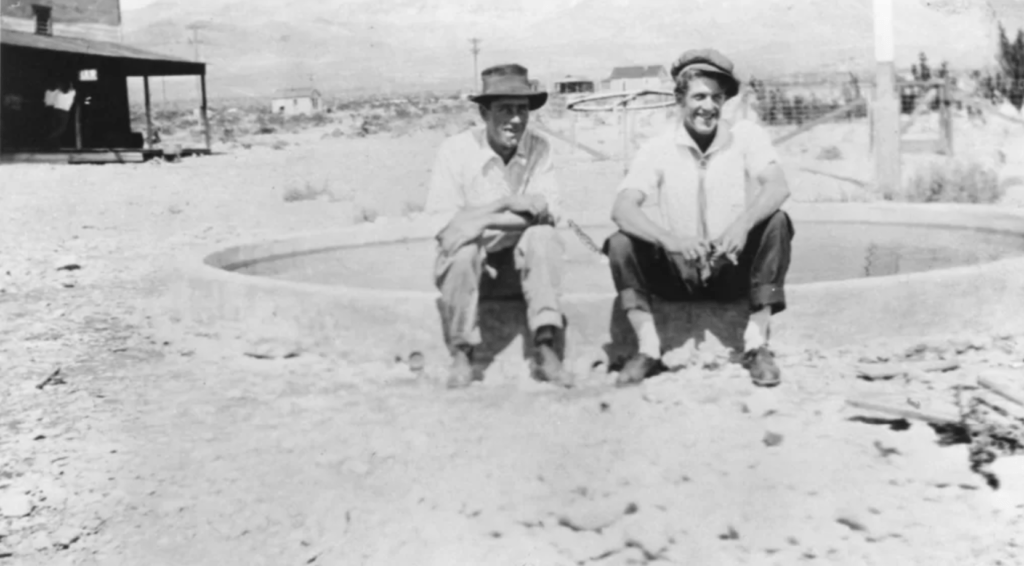
(Photo credit: UNLV)
Unfortunately, the marble was of lower quality than could be shipped from Vermont. Nevada-California Power Company cut off service to Cararra, and production decreased in 1917, and the town declined. Cararra had a brief revival with the discovery of gold at the Gold Ace Mine. The post office remained open until 1924.
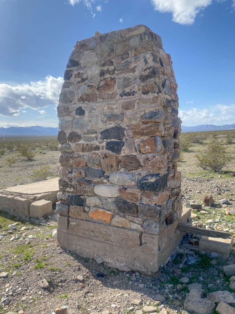
Sekhmet Temple

According to Egyptian mythology, Sekmet is a warrior goddess and the goddess of medicine. Genevieve Vaughan founded the temple and purchased land between the Mercury nuclear test site and Creech Air Force Base. It is intended to be a place of peace among facilities associated with war. The land once belonged to the Shoshone Nation. In 1992, Vaughan gave the land back to the Shoshone Nation. In 1993, women built the temple. It is open to anyone from sunrise to sunset.

Nevada Test Site
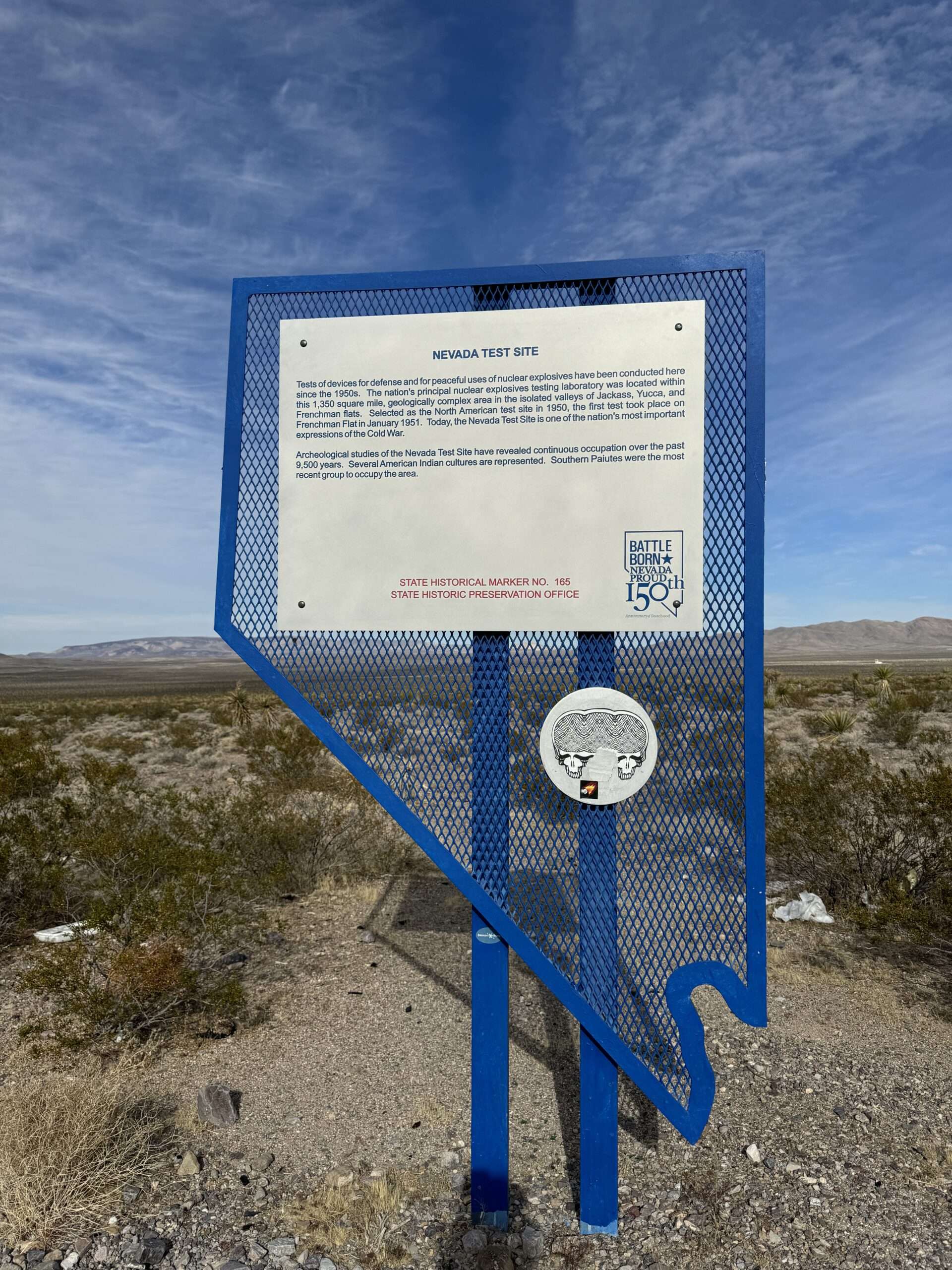
Originally known as the Nevada Proving Grounds, the site was developed in 1951 for testing of nuclear weapons. The first test was on January 27, 1951, when a 1-kiloton bomb was dropped on Frenchman Flat. Over 1,000 bombs were tested.

(Photo credit: Wikipedia)
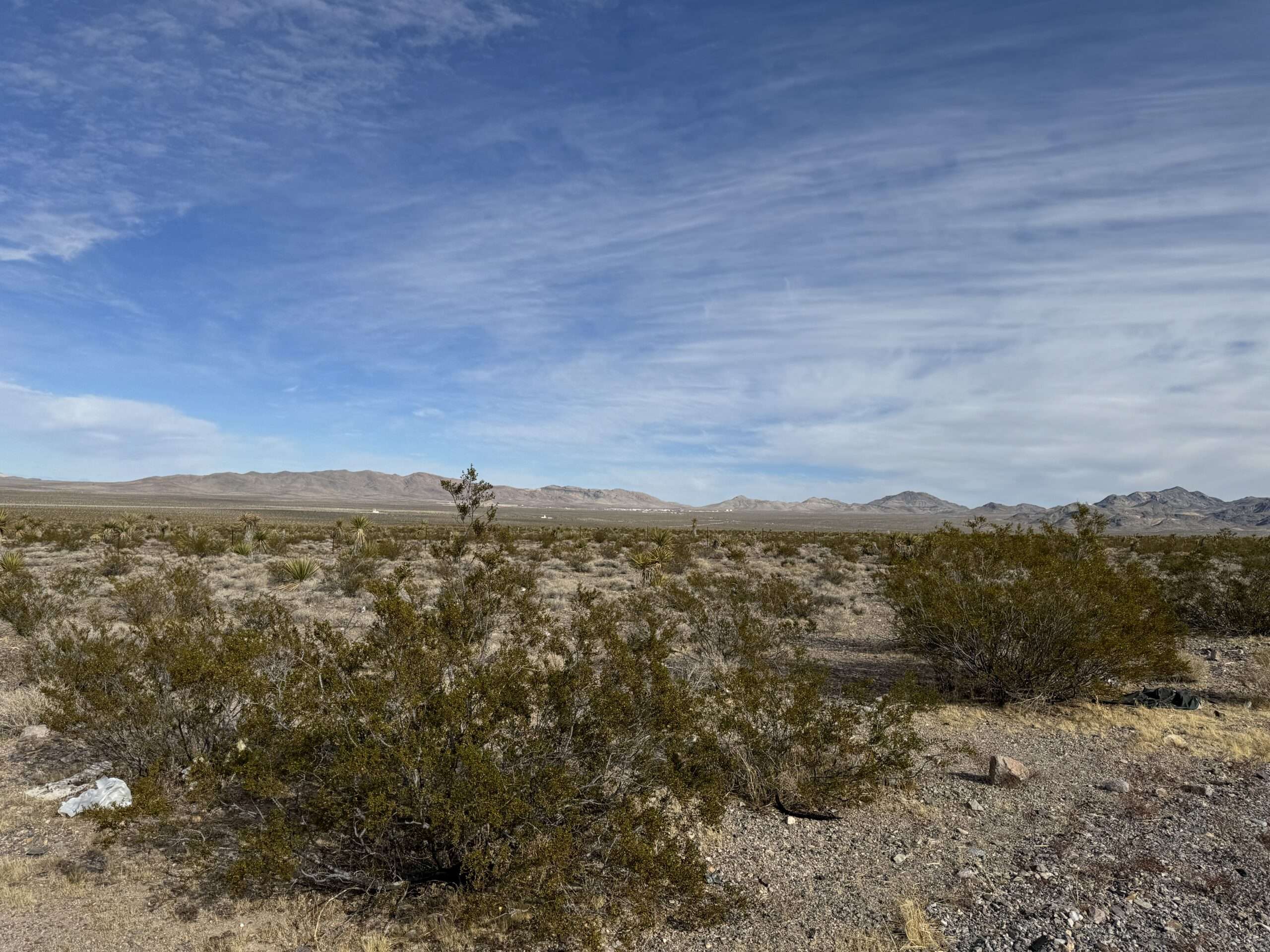
You can see the town of Mercury in the distance. The United States Department of Energy controls Mercury and is not open to visitors.
Top 10 Ghost Towns of Las Vegas
If you have time in southern Nevada, why not explore ghost towns?

Below are my favorite ghost towns and historical sites in southern Nevada. I suggest these when friends ask me which ghost towns are best. I chose sites with lots to explore, photograph, and do other fun activities in the area. Some locations are well-known because they are amazing, but I also have lesser-known ghost towns.

Each ghost town is within two hours of Las Vegas and has at least one bonus stop: another ghost town, a museum or a funky piece of Nevada history. Blue headings have links to more information about each site.

WANT MORE GHOST TOWNS?
For information on more than five hundred ghost towns in Nevada & California, visit the Nevada Ghost Towns Map or a list of Nevada ghost towns.
Learn about how to visit ghost towns safely.

References
Follow me on social media:
Bill Hale says
Hey Tami, I enjoy all of your articles and found this one in particular is very informative. I have been traveling and exploring Nevada since moving here in the early 70’s. I have to admit that I am a bit jealous of your adventures. While I have met and enjoyed talking to Stan Paher, I never got to explore and camp with him.
In this article there were a few places that brought back memories. The railroad houses in Schurz, My grandfather was a section gang foreman for the SPRR and I remember the RR houses that his employees lived in. The Rawhide Jail, I was fortunate to have explored Rawhide while the old jail was still there. Somewhere I have a photo of my ex-wife behind the bars of the jail, and no I didn’t leave her there. Millers round house, more RR history. The Mizpah Hotel, I have stayed there and rode the slowest elevator, the first elevator west of the Mississippi. The Nevada Test Site, Where my dad worked in the 50’s.
I hope that you don’t get burnout, I enjoy your articles, and am impressed with the research you put into them.
Safe travels
Bill
Tami says
Wow, what great memories! Do you remember if the picture was the post office and RR worker housing?
I wish I had seen the jail before it was moved. I always take pictures behind bars!
Mizpah did have the slowest elevator ever! They improved it a few years ago, now it is the second slowest 😉
David Sadewasser says
Fabulous compilation, Tami!
I was fortunate enough to have access to “Wild Nevada” on a PBS station when I lived in Utah. But, alas, we don’t get it in Southern Arizona. I do plan to watch the segment you provided. Thanks for that, and keep up the great work for all of us retired, former ghost town geeks who have willing spirits but weak flesh.
Dave
Tami says
Hope you enjoy it. Check for Wild Nevada online, that is how I watch it. They are on season 7 now. I forgot that they made a few then stopped for a long time and re-started. The current season is only Chris and Dave is doing the podcasts.
Stan P Maly says
Great write up Tami. I have some new places to explore on our annual Goldfield trip in April. Looking forward to reading about your adventures on social media and through my emails.
Sincerely Stan Maly
Tami says
Glad you found some new places to explore! Let me know if you find any cool ones not on the list.