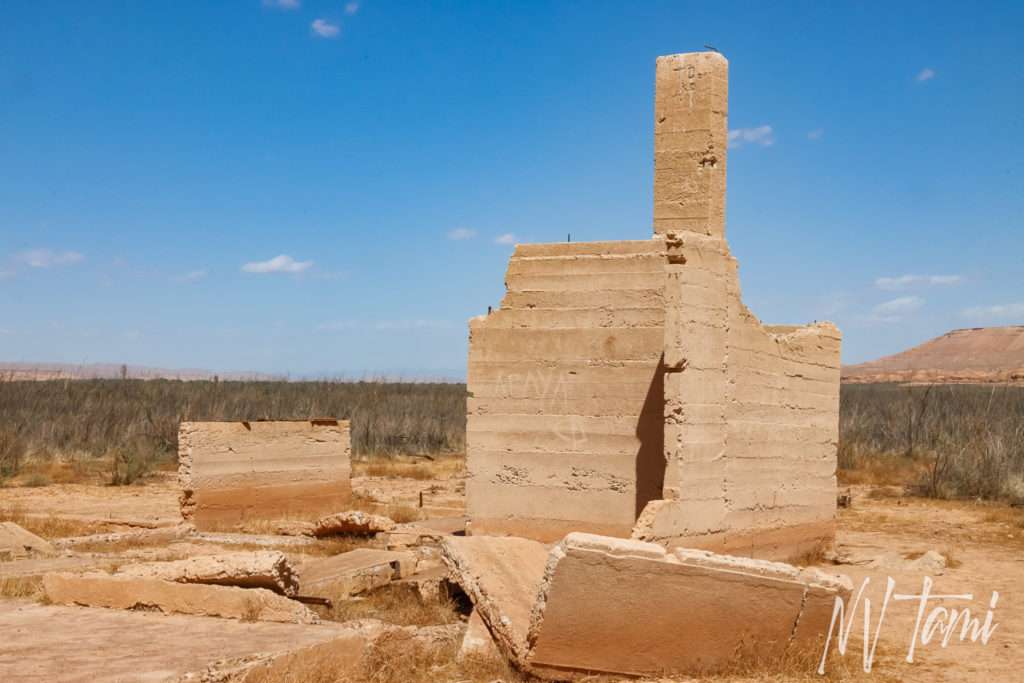
St. Thomas is one of the better-known ghost towns in Nevada. With Lake Mead’s creation, rising waters submerged one of Nevada’s oldest established towns under sixty feet of water. Sixty-four years later, lower lake levels have made St. Thomas accessible to visitors.
Flooding of a Different Type
The story of most ghost towns in Nevada follows the same plot. First, a prospector strikes a promising vein of ore. He tries to keep it secret, but word spreads, and soon the area is flooded with miners looking for riches. Almost overnight, the first business opens, usually a saloon or brothel, because miners have priorities! Next, businessmen lay out a town and begin selling parcels. Before long, there is a town with a post office, grocery store, church, and school.
In years or sometimes months, the ore veins play out. Mills close, and prospectors search for the next big strike. The town residents follow, picking up and relocating buildings, leaving a few abandoned structures to mark the site.
St. Thomas became a ghost town with flooding of a different form. The rising waters of Lake Mead submerged the town with the completion of Hoover Dam. Instead of a hopeful search for new fortunes, St. Thomas residents were forced to relocate to higher ground.
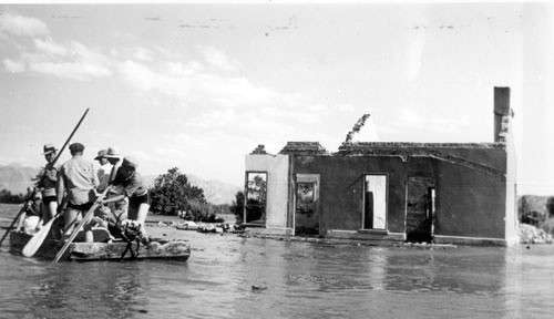
The last resident of St. Thomas, Hugh Lord, did not put his house on skids and drag it away. As water lapped at his home, he set it on fire and rowed away.
Mormon Expansion
In 1864, Brigham Young, leader of the Church of Later Day Saints, directed members to settle the fertile Muddy Valley, now Moapa Valley. They believed the valley was part of Utah and a desirable location to grow cotton. In addition, the site provided a strategic presence on the freight roads between the Colorado River and Los Angeles.

Mormon Farmers
(Photo credit: Lake Mead NRA Public Affairs)
In January 1865, Thomas Sassen Smith led a wagon party to the confluence of the Virgin and Muddy Rivers. The pioneers surveyed a townsite and created five-acre lots for farming and vineyards. By April, St. Thomas had six hundred acres of crops planted. They named the new settlement St. Thomas in honor of their wagon leader.
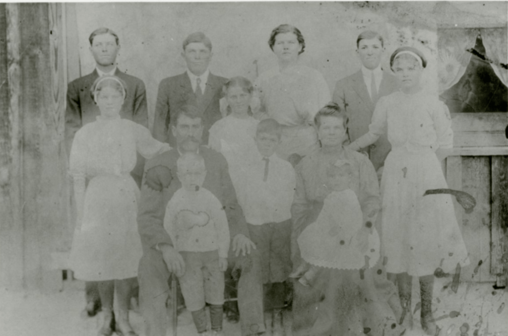
(Photo credit: UNLV)
St. Thomas was awarded a post office on July 23, 1866, as part of Utah Territory. Three years later, Arizona Territory claimed St. Thomas and changed the post office to Pah-Ute on October 1, 1869.
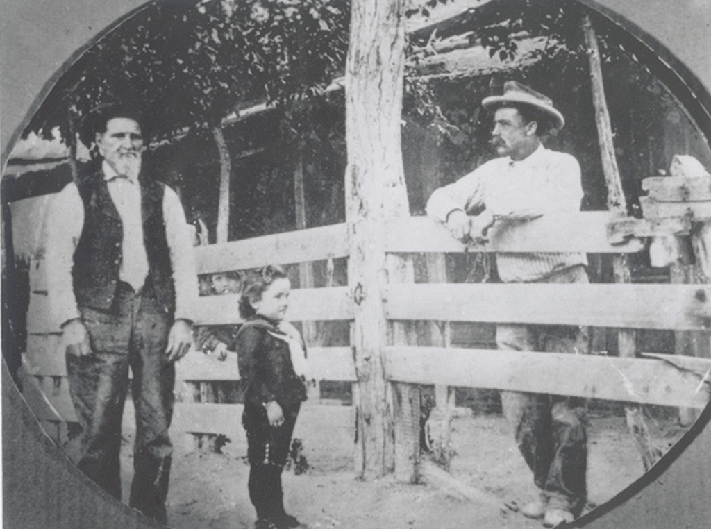
(Photo credit: NPS)
St. Thomas grew. By 1868, it claimed over 600 residents between town and the surrounding farms. Hundreds of cottonwood trees with irrigation ditches lined the town streets.
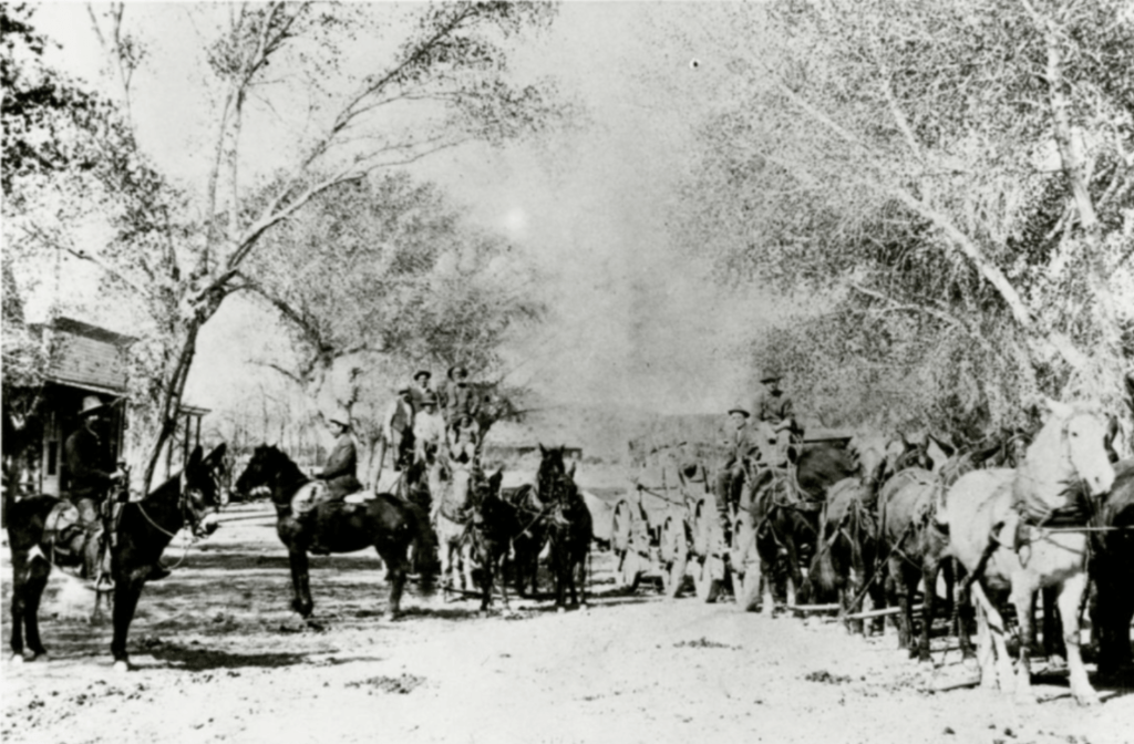
(Photo courtesy of UNLV)
Boundary Survey
An 1870 boundary survey determined St. Thomas was in Nevada, not Utah or Arizona. The post office changed to Lincoln County, Nevada in April of 1871. When Nevada cleaved off new counties, St. Thomas became part of Clark County and the postal service was transferred on March 5, 1909.
(Photo credit: UNLV)
As St. Thomas was now part of Nevada, the state demanded the Mormon settlers pay back taxes. The settlers did not believe the monies would be used responsibly nor did they possess the needed cash. They took a vote and refused to pay the taxes. Over the winter of 1870-1871, residents left St. Thomas, with the last wagon departing on February 20th. On the way out of town, many families burned their homes and abandoned their crops.
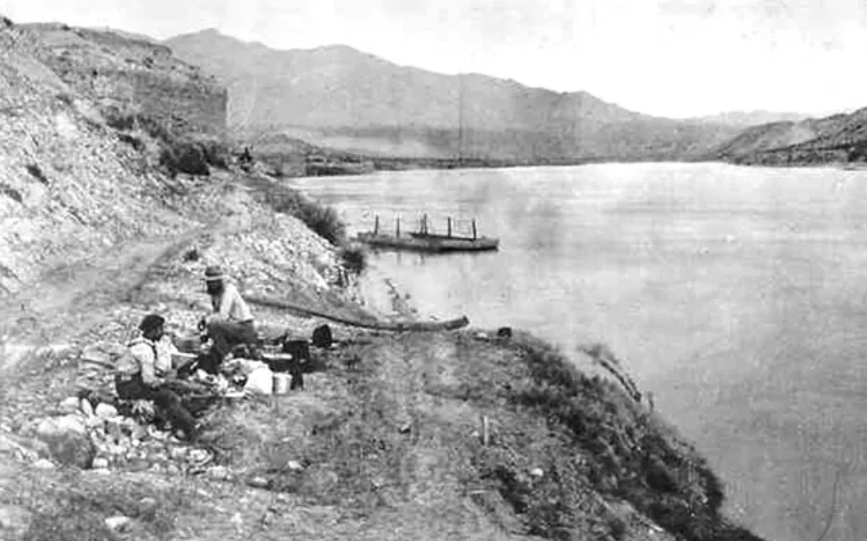
(Photo credit: Lake Mead NRA)
Only a few families remained in St. Thomas. Thomas Bonelli stayed and was the postmaster, and had lodging accommodations for travelers. Bonelli also operated a ferry crossing on the Colorado River, charging $10 for a wagon with 2 passengers, and $0.50 for each additional person.
The Lincoln County Sheriff posted notices of non-payment of taxes on vacant homes. Some report that undesirables moved in and St. Thomas became a stereotypical wild west town with saloons, outlaws, and horse racing.
Rebirth of St. Thomas

(Photo credit: Lake Mead NRA Public Affairs)
In the 1880s, Mormon and non-Mormon settlers rediscovered St. Thomas. The ground remained fertile and ideal for growing crops, including stone fruit, melons, and corn. St. Thomas again became a quiet agricultural community.
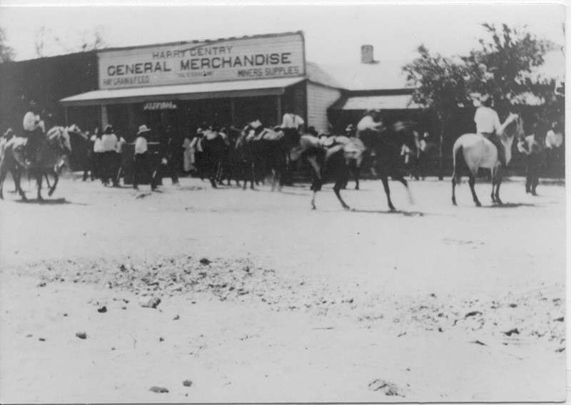
(Photo credit: UNLV)
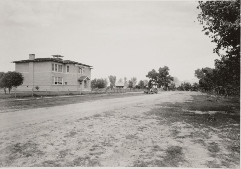
At its height, St. Thomas claimed five hundred residents. The town included everything the community needed: school, church, grocery stores, and in later years, a mechanic’s garage and an ice cream parlor.
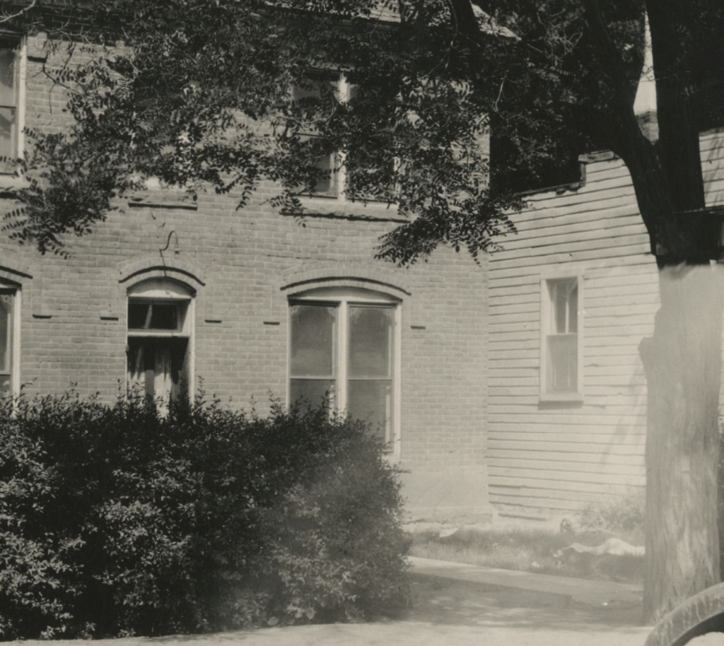
(Photo credit: UNLV)
St. Thomas lacked electricity and indoor plumbing, but residents said they didn’t miss the modern conveniences. Instead, they enjoyed a quiet and simple rural life. The Salt Lake Branch of Union Pacific Railroad arrived in 1911, connecting the community with southwestern Utah.
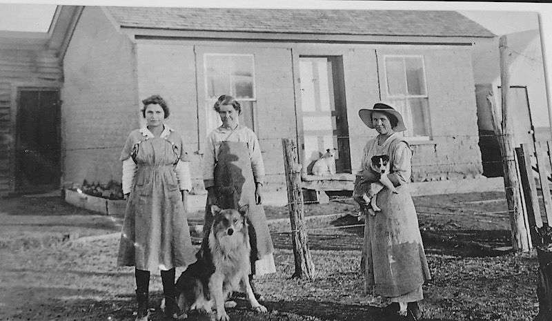
(Photo credit: Lake Mead NRA)
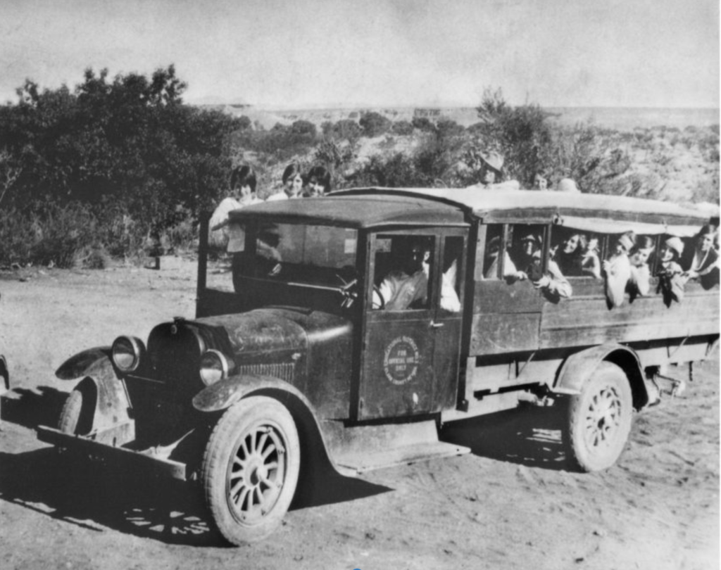
(Photo credit: Lake Mead NRA Public Affairs)
(Photo credit: UNLV)
Arrowhead Trail
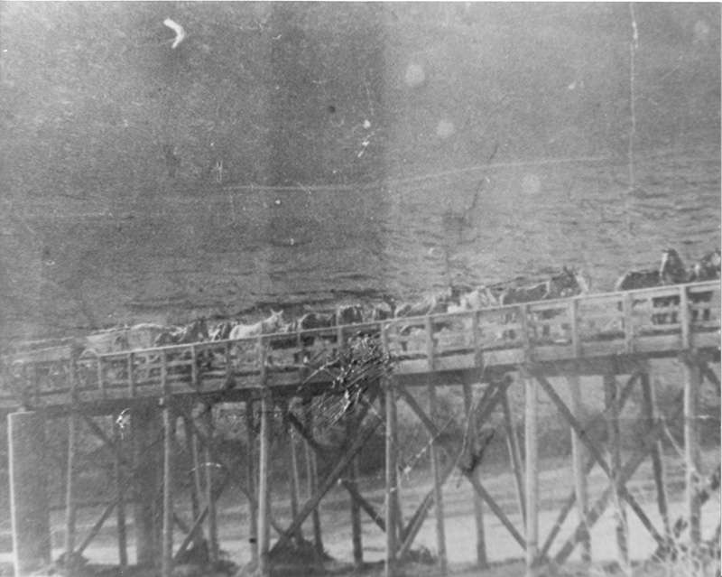
The Arrowhead Trail connecting Salt Lake City, Utah, with Los Angeles, California, was constructed in 1912. The Arrowhead Trail through Nevada was a rugged and isolated stretch of road.
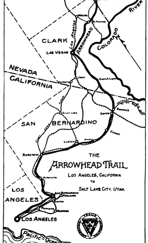
A portion of the Arrowhead Trail, St. Thomas is in the upper right-hand corner
(Photo credit: Wikipedia)
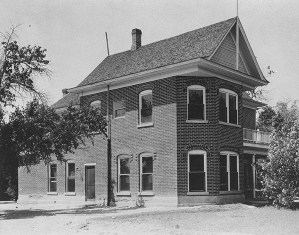
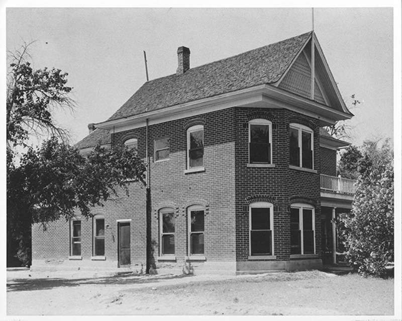
St. Thomas thrived as a stopping point between Los Angeles and Salt Lake City along the Arrowhead Trail. The residents maintained more than 100 miles of dirt road. Travelers could stay at the beautiful, two-story, brick Gentry Hotel. Businesses, stores, and garages expanded to serve travelers.
(Photo credit: Lake Mead NRA Public Affairs)
St. Thomas Mining District
In addition to farming, St. Thomas had active salt mines. Settlers discovered the salt beds in 1866, but production was limited due to their isolated location. Bonelli, one of the few remaining original Mormon settlers, owned and operated the Virgin River Salt Company. The St. Thomas mining district included seven mining claims to the salt fields, including Big Cliff Mine, Salvation Salt Mine, and Bonelli Salt Mine.

(Photo credit: UNLV)
Archeologists believe the Pueblo Indians initially worked for the salt beds between 500-1200A.D. Scientists from all over the county traveled to St. Thomas to study the ancient tools, archeological evidence, and petroglyphs discovered by modern miners.
Rising Flood Waters
(Photo credit: UNLV)
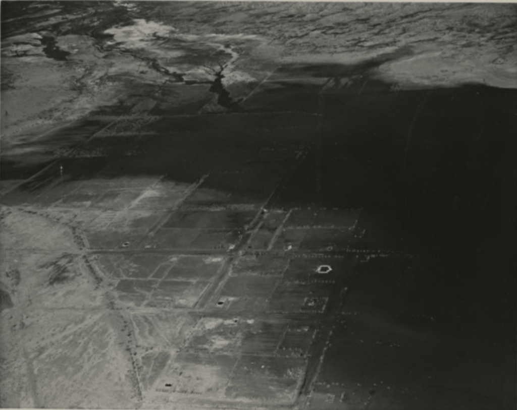
To limit flooding of the Colorado River, in 1928, President Calvin Coolidge signed a bill creating Hoover Dam. The dam would also provide irrigation water and hydroelectric power. The construction of the dam lead to the formation of Lake Mead. Unfortunately, the rising waters of the new lake would submerge several towns, including St. Thomas.

Hoover Dam under construction
(Photo credit: NPS)
St. Thomas residents began political efforts to either preserve their homes or to receive higher prices for their land than the government offered, but were unsuccessful. The residents would have to…
scatter to other localities went the Boulder dam is completed, because the dam will back up the Colorado River, and St. Thomas will lie under from ten to fifty feet of water.
Reno-Gazette Journal, April 26, 1930
(Photo credit: UNLV)
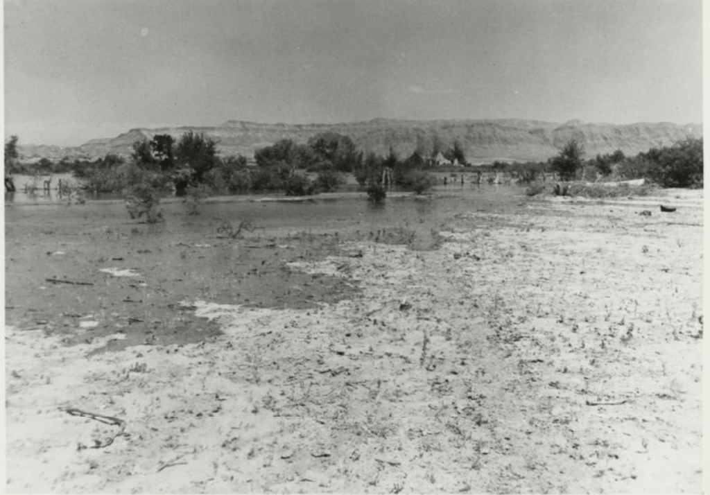
The construction of the Hoover Dam began in 1931 and took five years to complete. However, Lake Mead’s creation did not happen overnight; the waters took several years to reach St. Thomas. During that time, many residents of St. Thomas refused to leave and continued to run businesses, farm, and go about their day-to-day lives.
Relocation
(Photo credit UNLV)
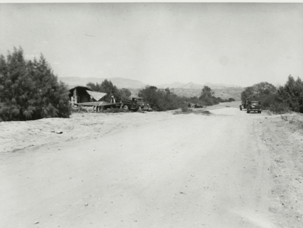
The US Government relocated residents, the townsite, and the cemetery to nearby Overton. Residents dismantled and moved wood buildings. Concrete structures were left to flood. The post office remained open until June 19, 1938. On their final day of operation, they canceled over 5000 letters as water lapped at the building.
(Photo credit: Lake Mead NRA Public Affairs)
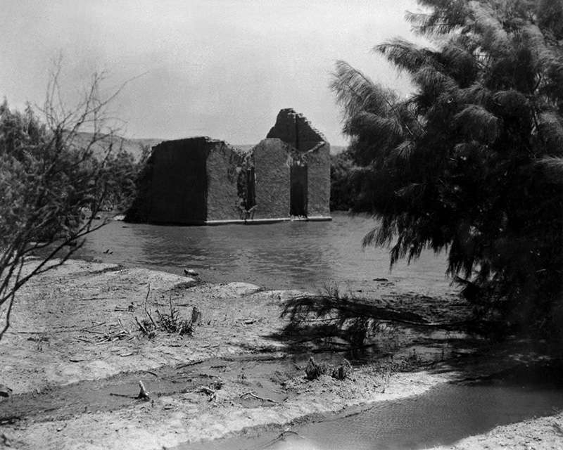
Hugh Lord, who owned a garage, was the final resident to depart St. Thomas. He spent his final night in his home, placed his remaining possessions in the boat, got in and set his house on fire, then rowed away. Hugh lived out his life until 1947 and was buried at the St. Thomas cemetery in Overton.
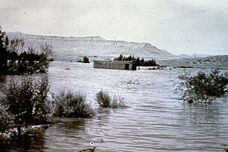
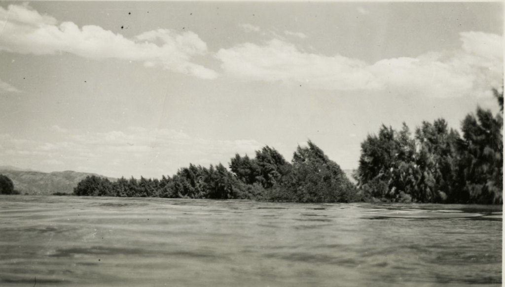
By June 25, 1938, Lake Mead fully submerged the town leaving only the tops of 50-year-old cottonwoods to mark the townsite. Rising water also flooded four miles of the Southern Pacific Railroad’s Moapa branch to St. Thomas. The highway flooded two miles north of town, cutting off St. Thomas from land.
To be swallowed up in the interest of progress is a fate that frequently overtakes villages.
Reno-Gazette Journal, April 26, 1930
(Photo credit: UNLV)
Peek-a-Boo
(Photo credit: Lake Mead NRA)
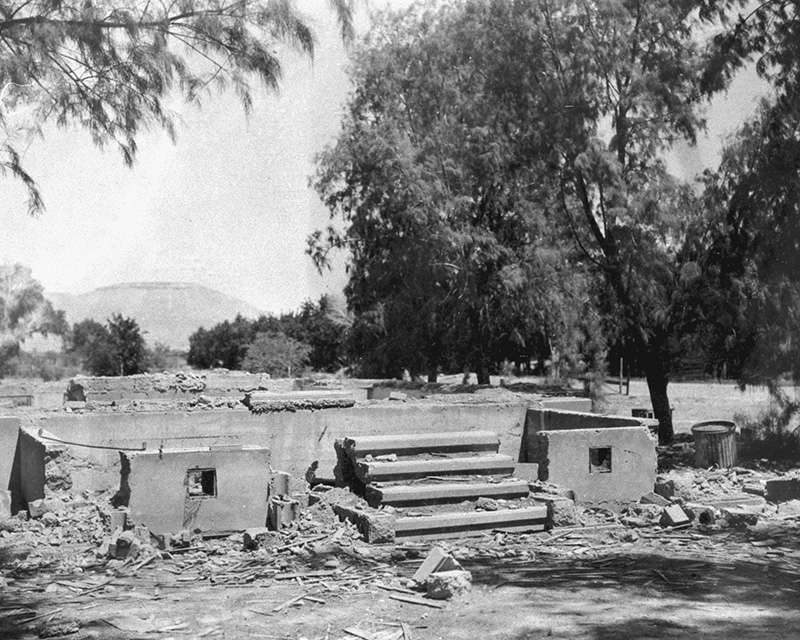
For 64 years, Lake Mead submerged St. Thomas in sixty feet of water. As the lake levels fell in low water years, St. Thomas peeked through and became visible for short periods of time. The famous ghost town became a popular destination with ghost towners and historians.
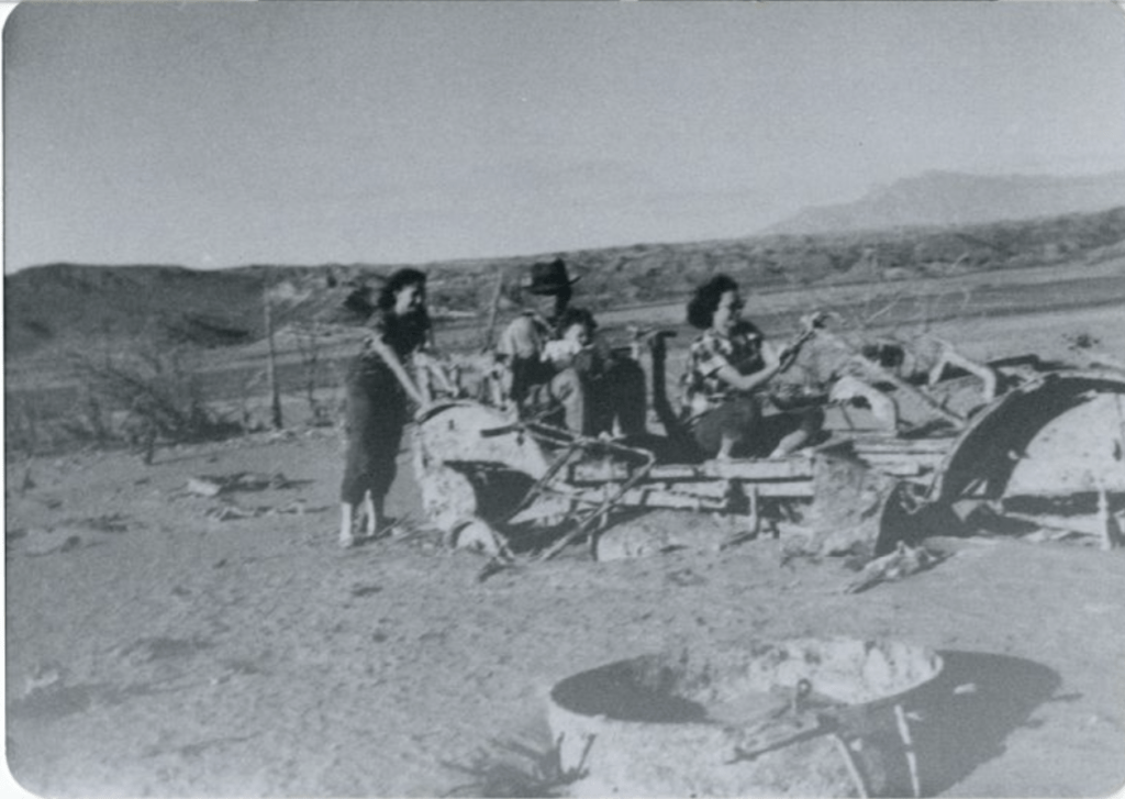
(Photo Credit: UNLV)
When the waters receded, former residents of the town gathered at the townsite. Reunions were held at St. Thomas in 1945, 1965, and 2012.
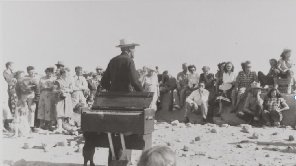
(Photo credit: UNLV)
During the 1965 reunion, former Nevada Sen. Berkeley Bunker wore a battered old felt hat, which he said he had buried near his house in St. Thomas in the 1930s as Lake Mead was rising. He had dug up the hat on the day of the 1965 reunion.
Girls’ Trip
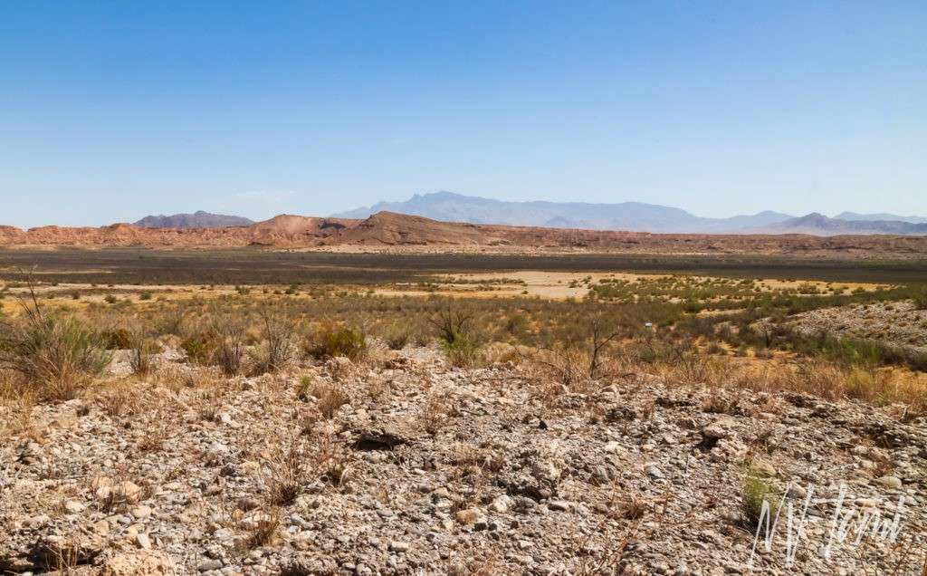
For our 2021 family vacation, we stayed in St. George, Utah but spent our time between Nevada and Utah, visiting ghost towns in both states. St. Thomas was my priority for our vacation, once I heard the once underwater ghost town had re-emerged. I’m pretty sure my family each agreed to take a day accompanying Mom so they could spend the other days in peace. My daughter took the longest day, St. Thomas, Valley of Fire, and Lost City Museum.
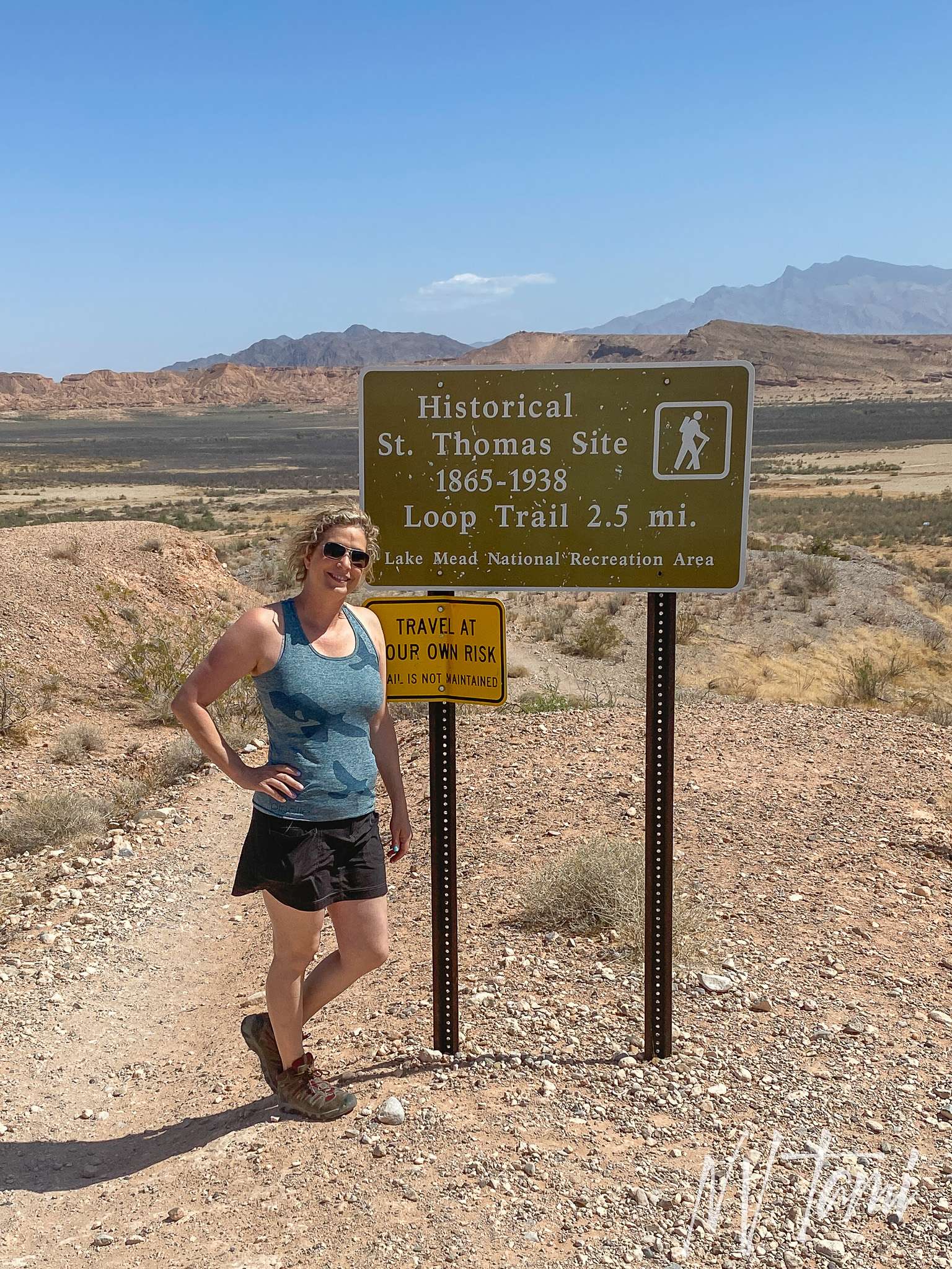
Trailhead above the town
My daughter and I hiked “down, down, down to the bottom of the lake,” she was more impressed with my Sponge Bob reference than my impersonation. The St. Thomas trail is well marked and maintained. It’s a reasonable hike and level once you are at the bottom of the lake bed.
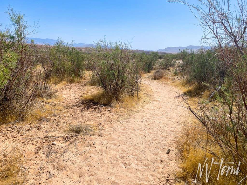
We were partway through our hike when hubby texted, St. Thomas has surprisingly good cell service. He wanted to know why my GPS was telling him we were at the bottom of Lake Mead. 😆
Ruins
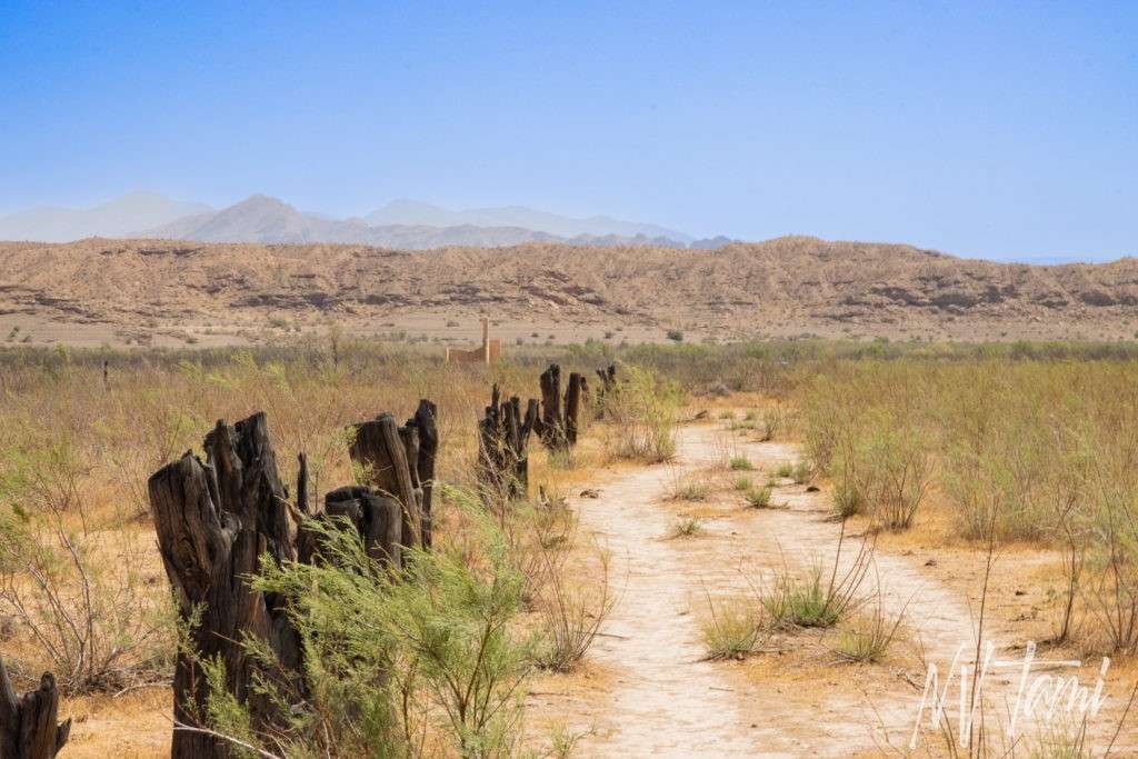
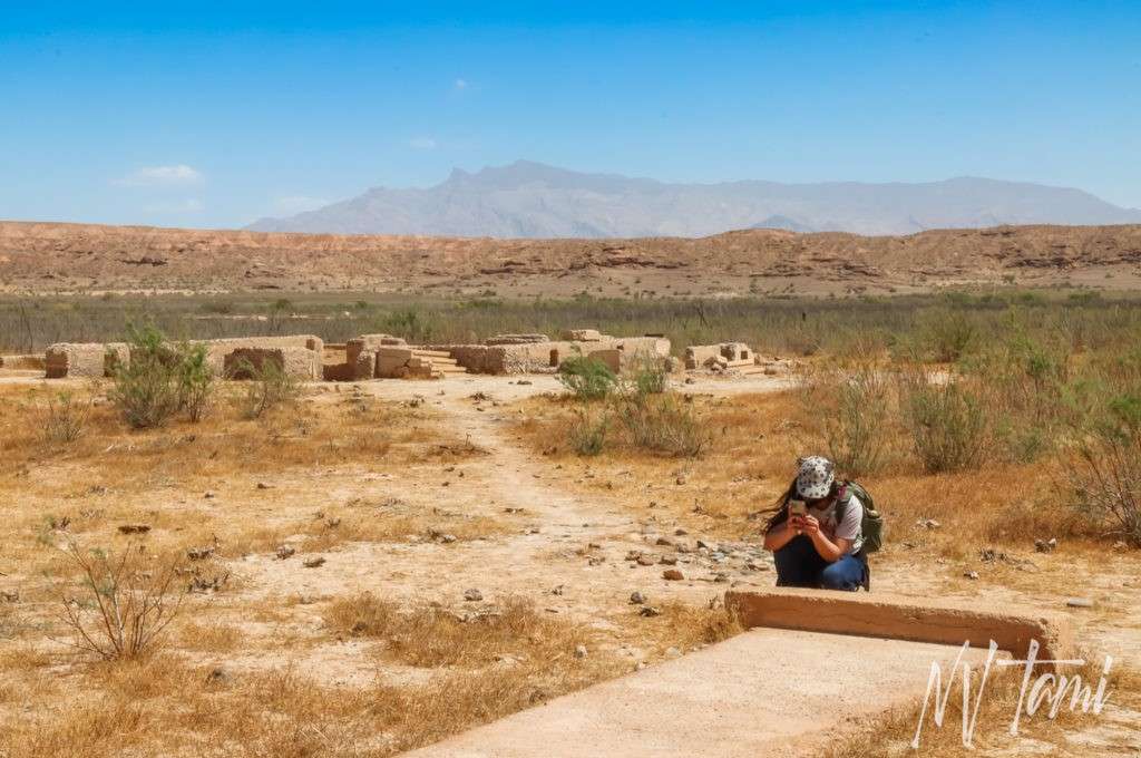
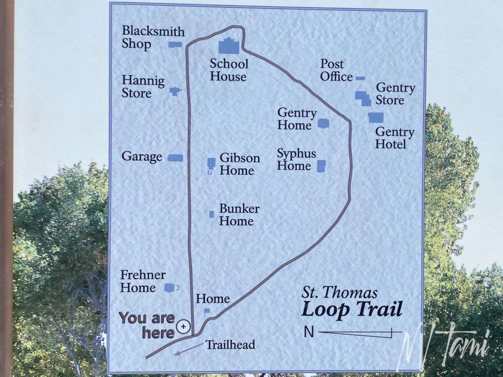
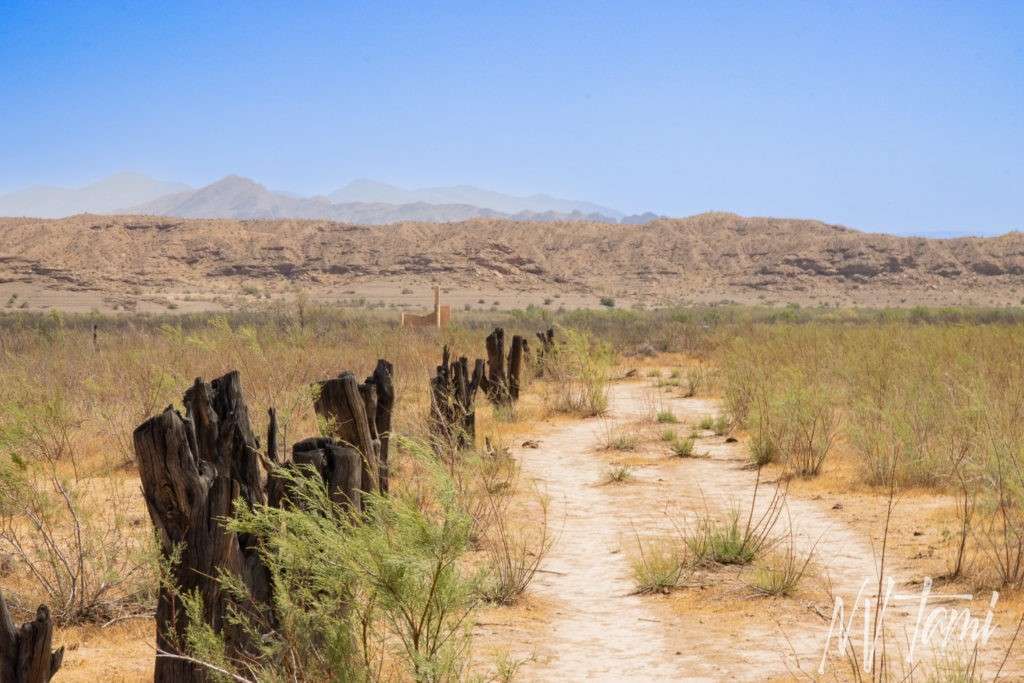
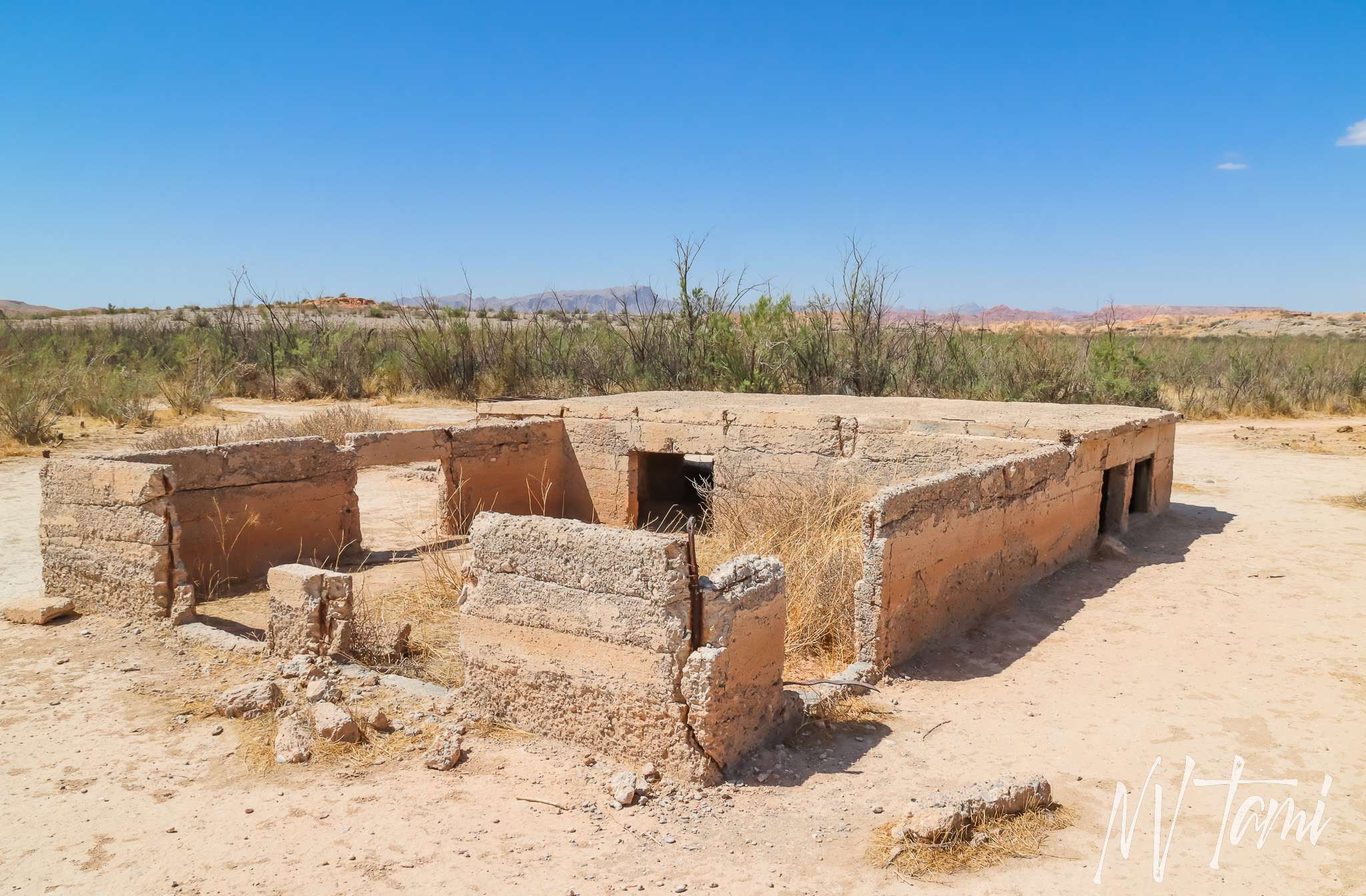
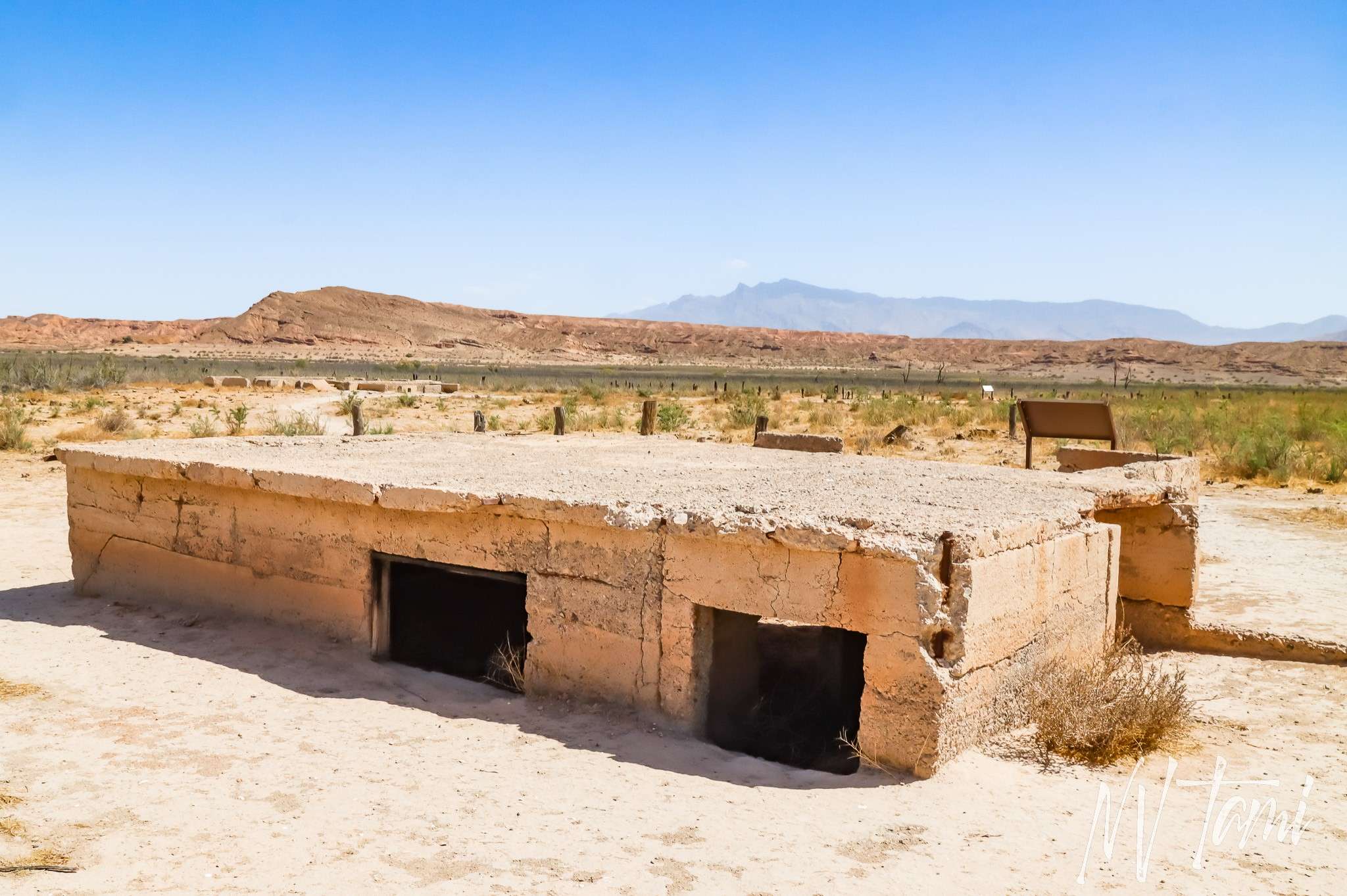
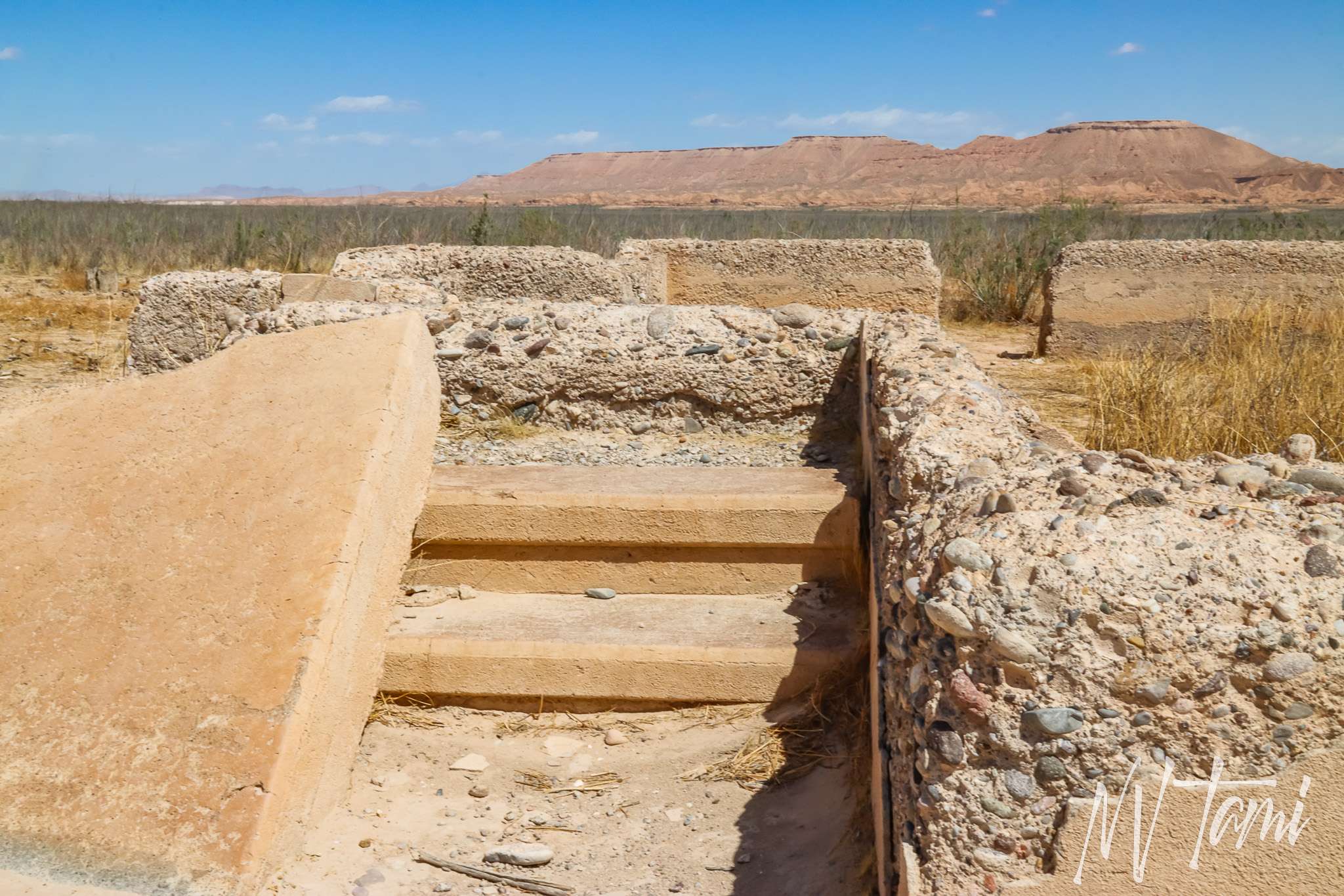
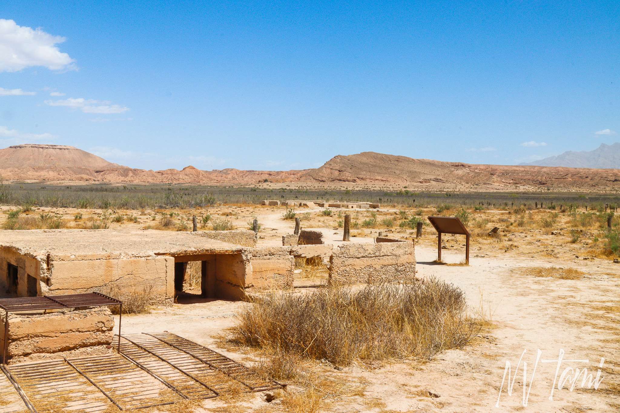
St. Thomas has the foundations of many structures remaining. The trail follows the original roads and makes a loop.
Streets
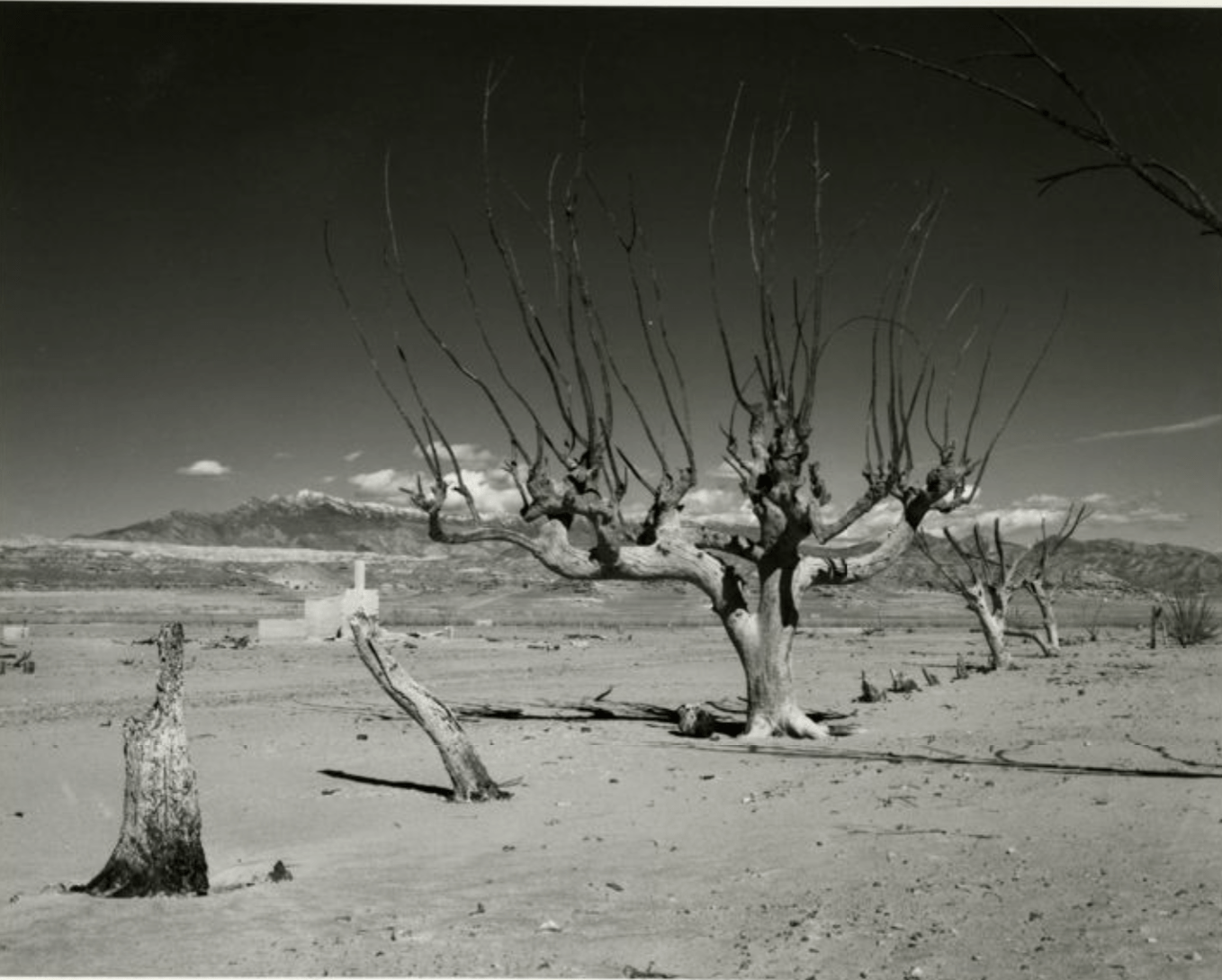
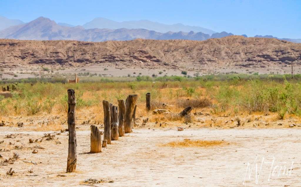
(Historic photo credit: UNLV)
Houses
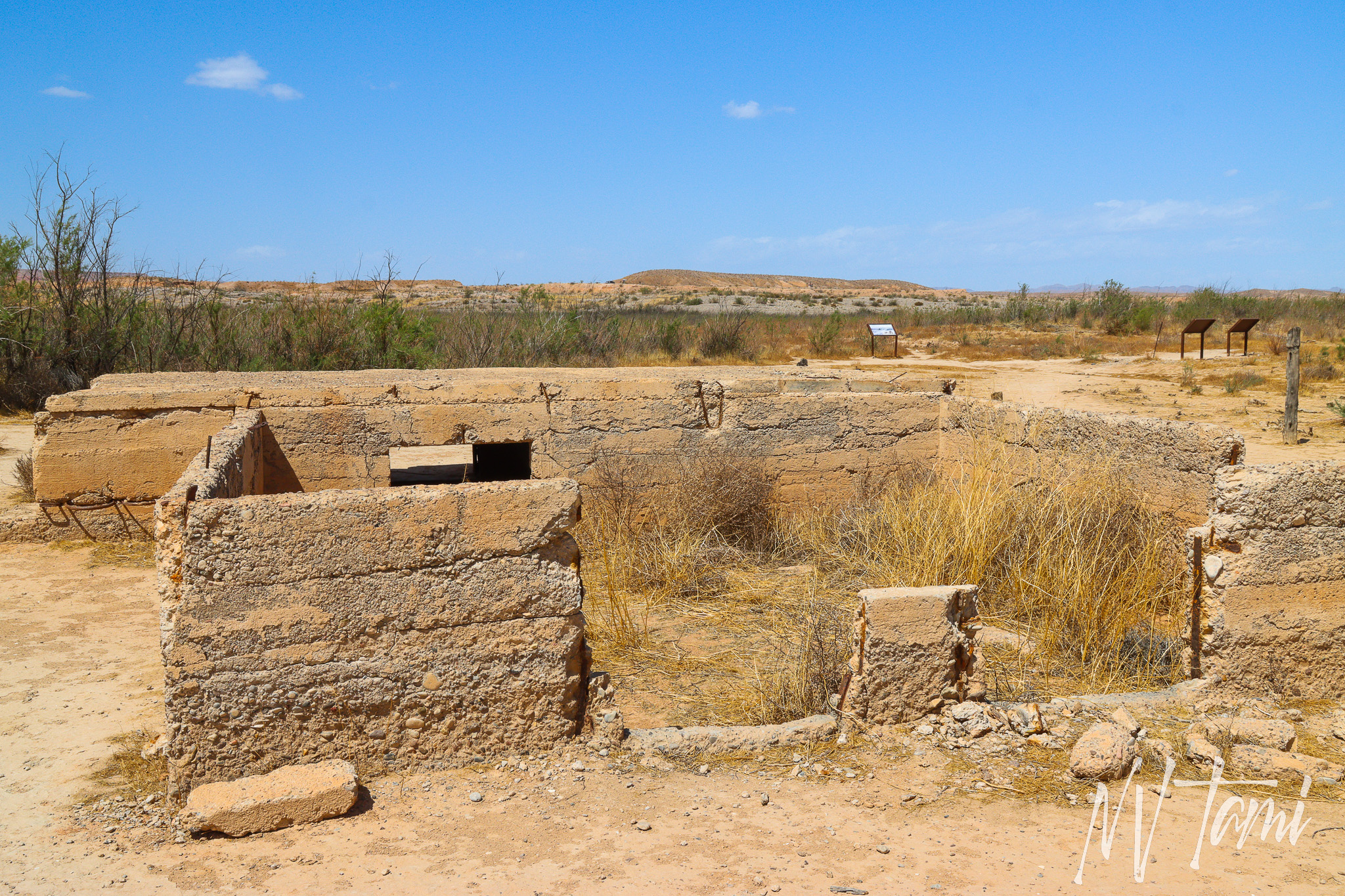
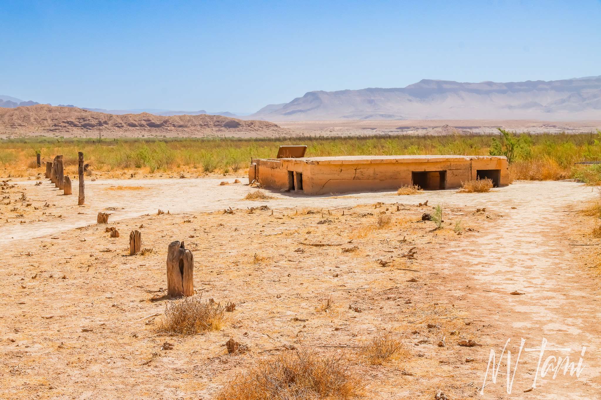
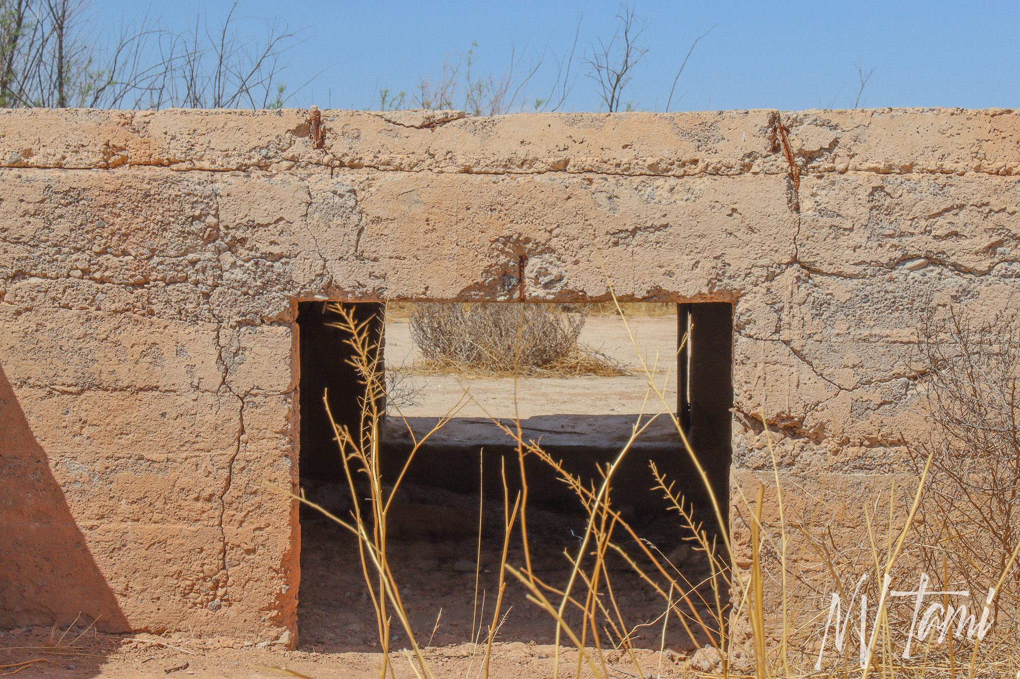
Abandoned foundations of homes line the streets. Markers label a few houses, but many names are lost to history.
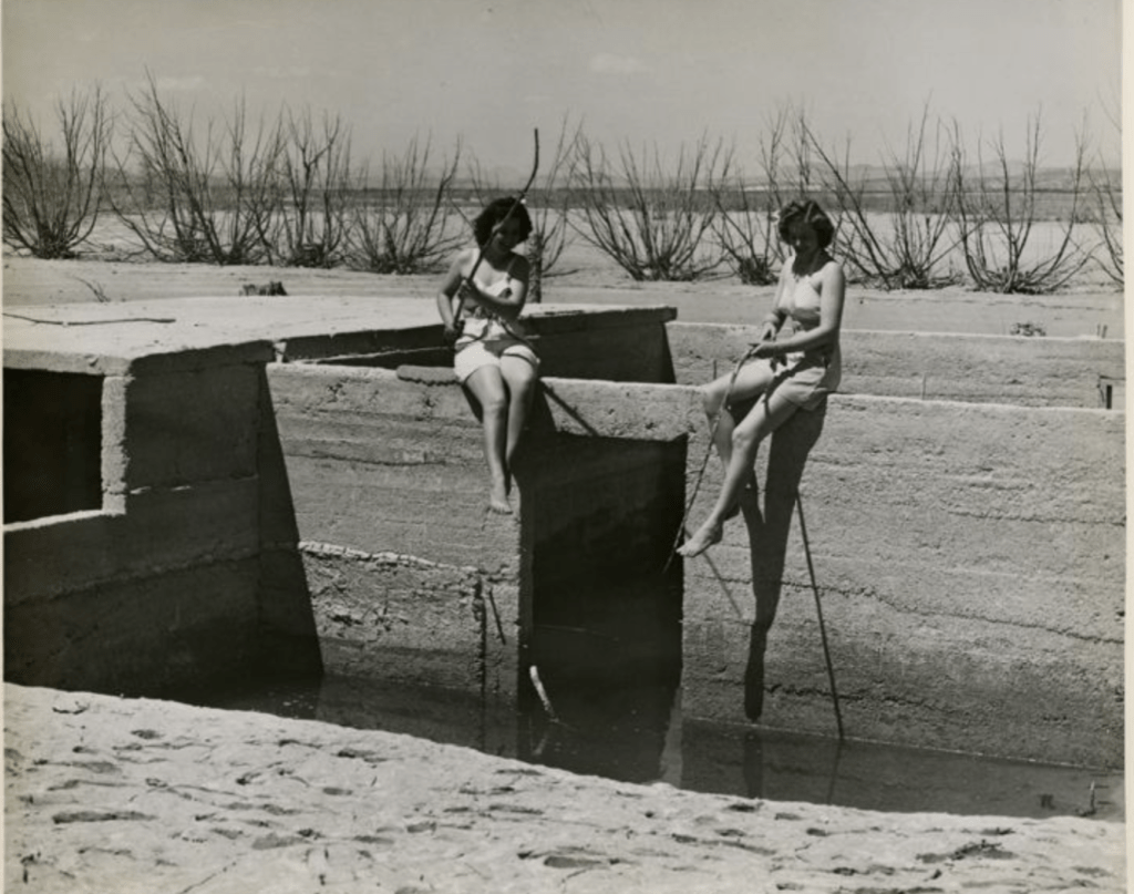
(Photo credit: UNLV)
Cisterns
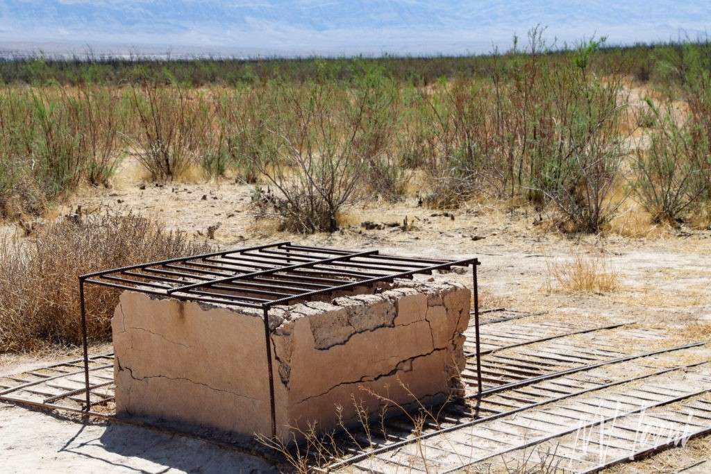
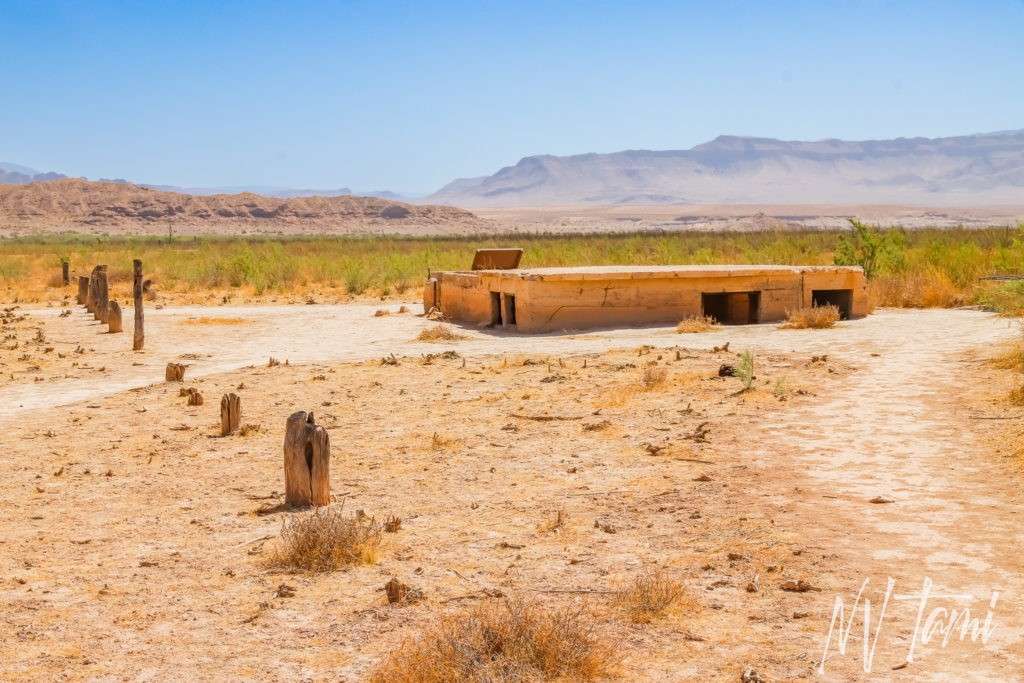
Every building had a cistern for water
Hank’s ice cream parlor
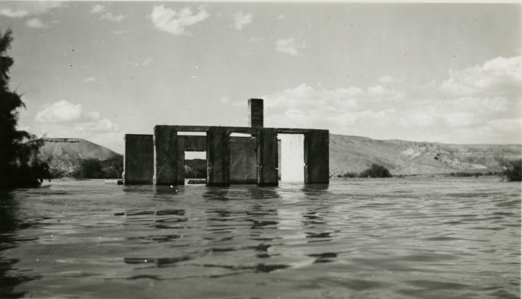
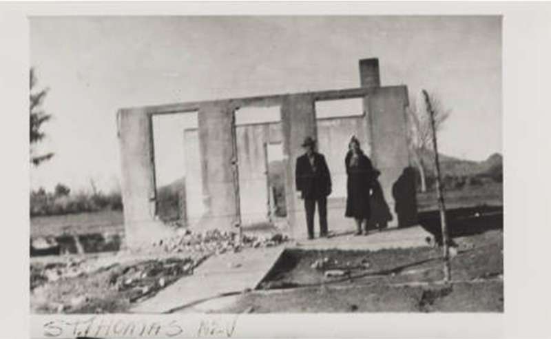
The most iconic structure in St. Thomas is the ice cream parlor. It has been a popular spot for ghost towners to take photographs since the 1940s.
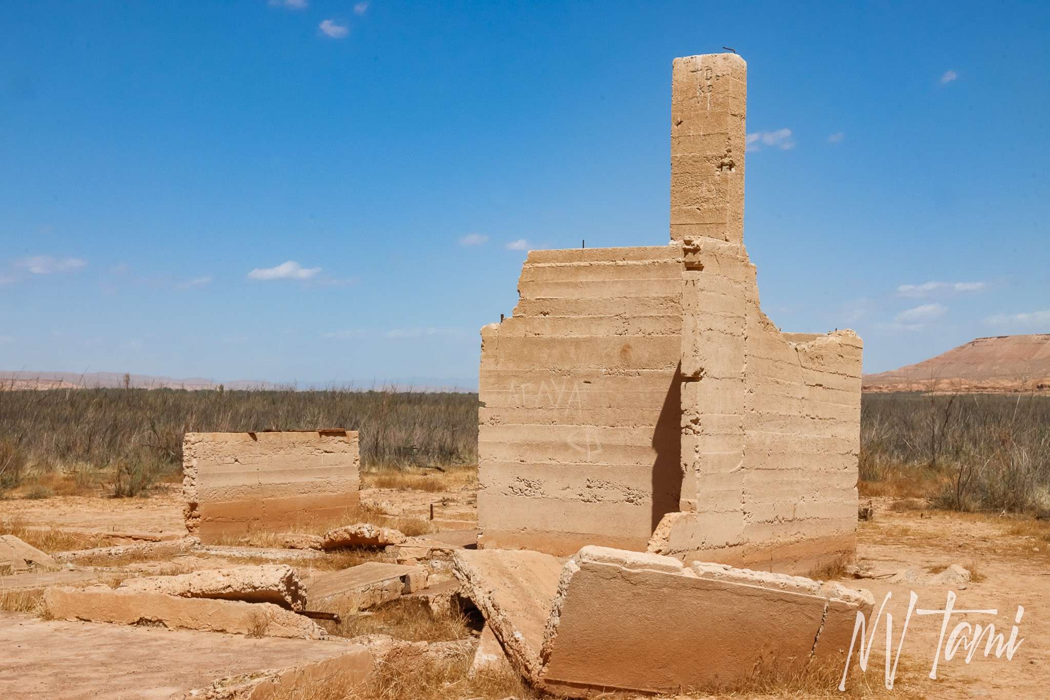
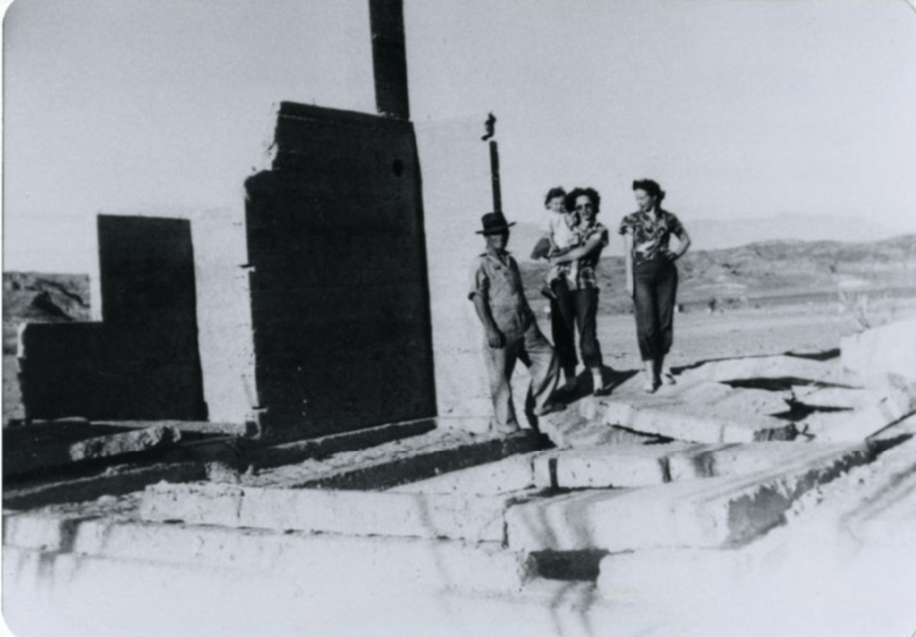
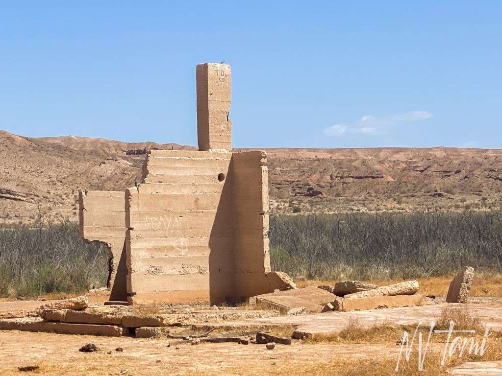
(Historic photo credit: UNLV)
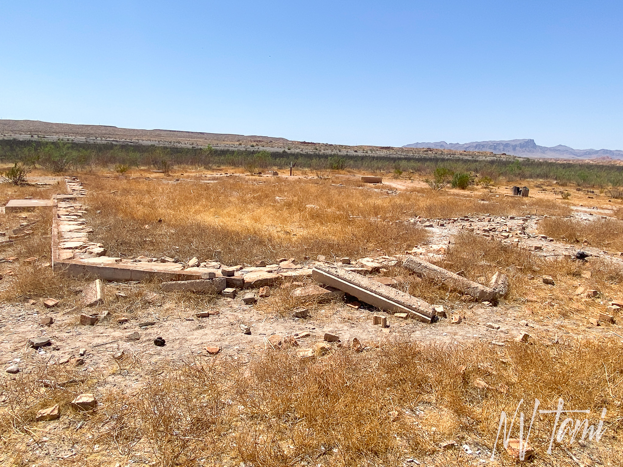
Gentry Hotel
Gentry Store

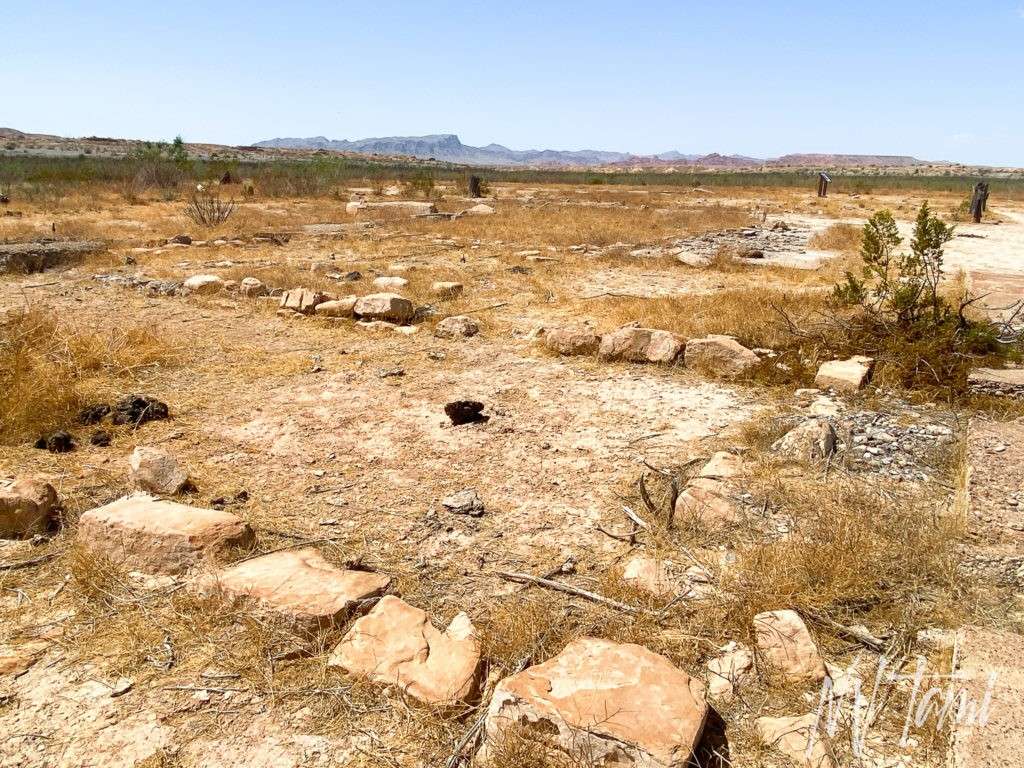
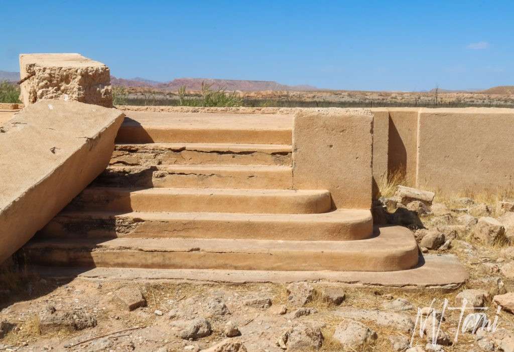
St. Thomas School
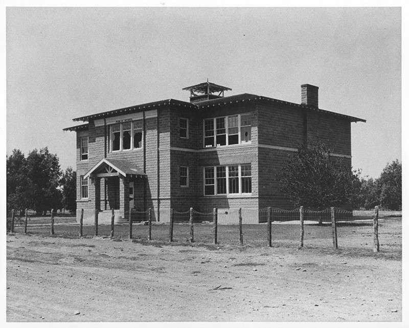
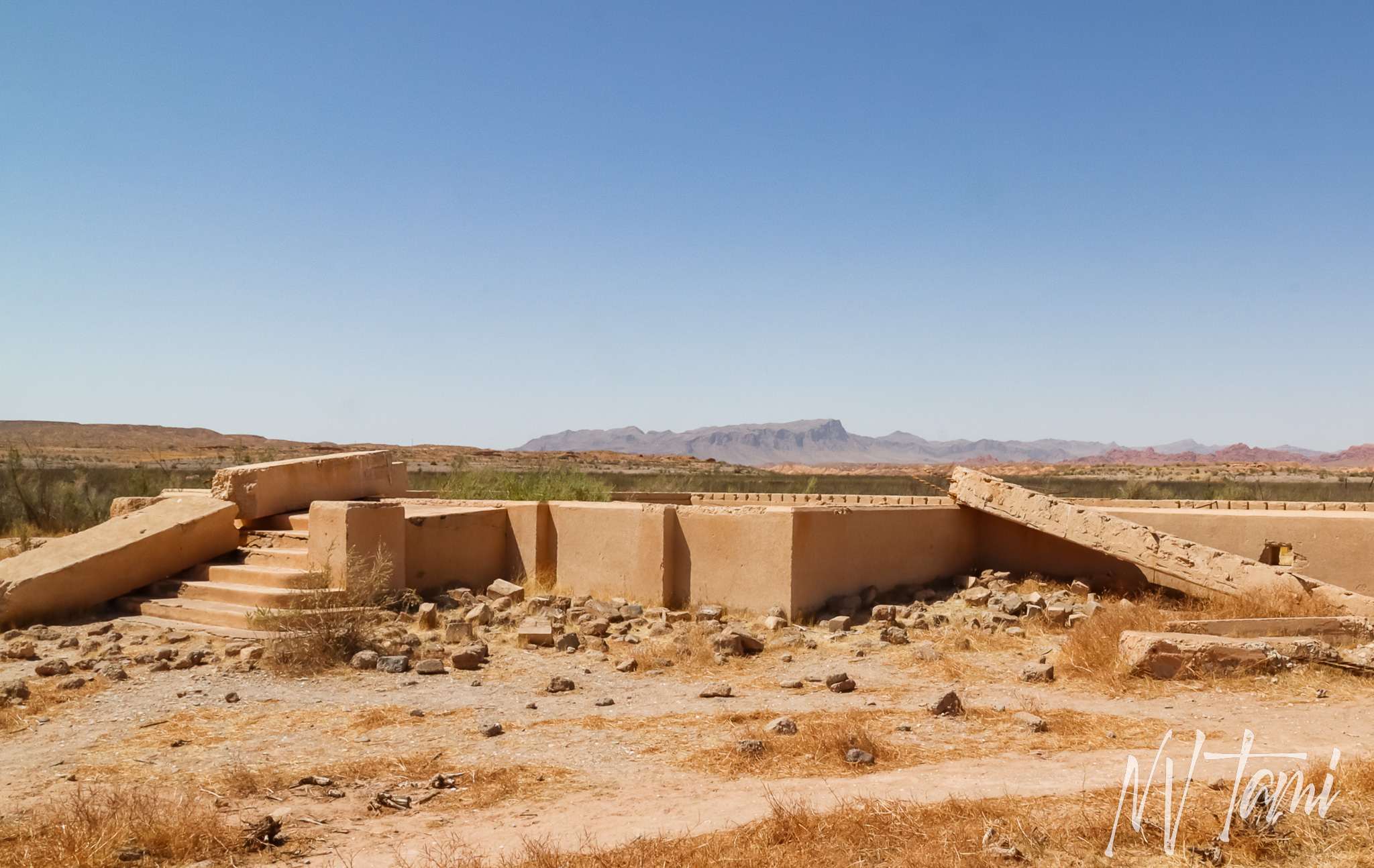
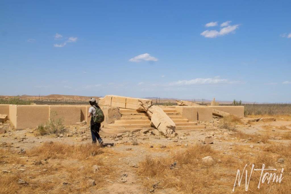
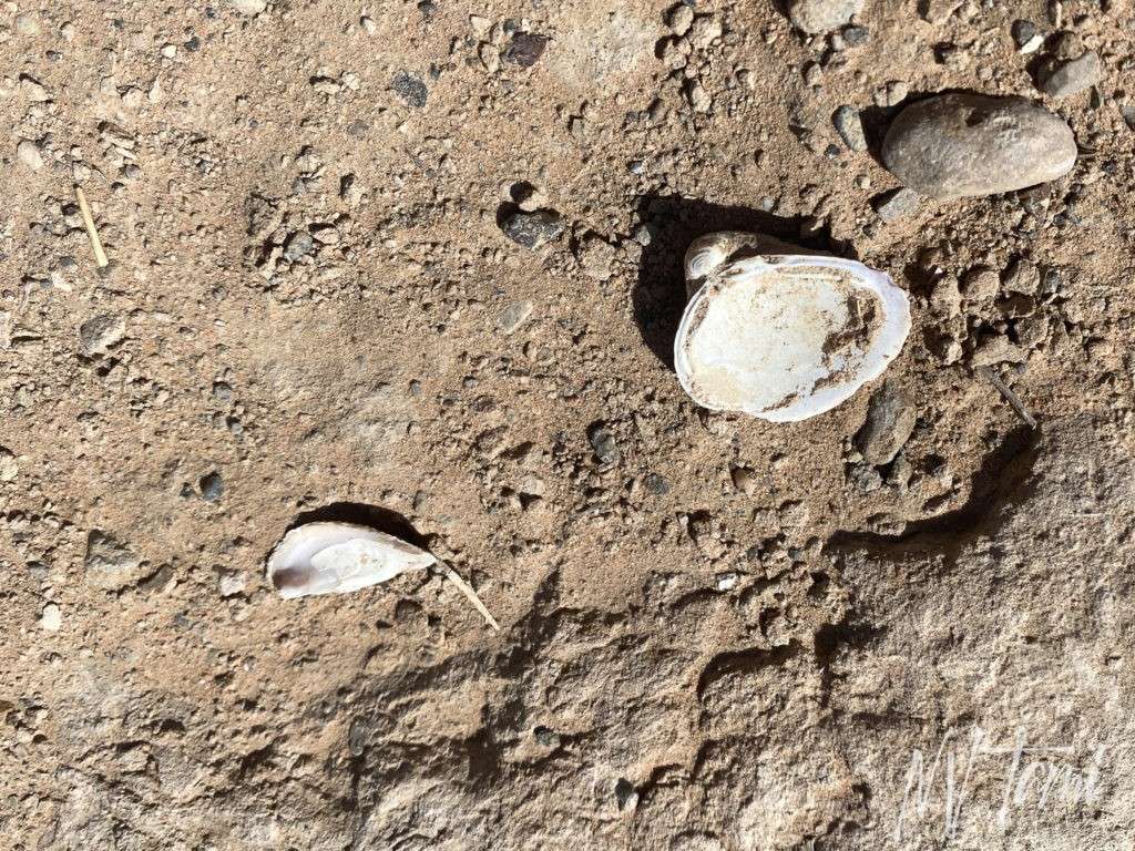
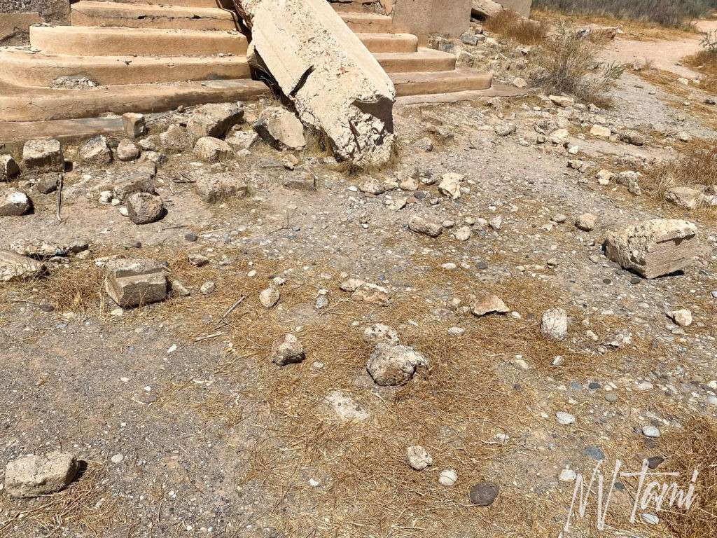
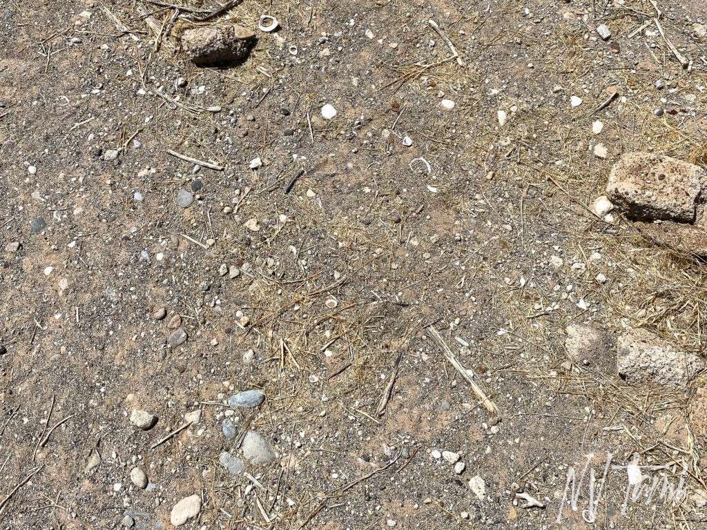
Seeing my daughter explore and play at the St. Thomas school was a powerful reminder of the past. Where children once learned, played, and laughed is now empty, a building foundation strangely scattered with seashells. But it was an eye-opener for my little one that life is not everlasting.


(historic photo credit: UNLV)
While the St. Thomas school has closed for traditional classes, it still provides education for a new generation. The history lessons it teaches are hands-on and likely to be remembered far beyond learning from a book.
Valley of Fire
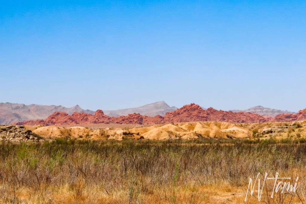
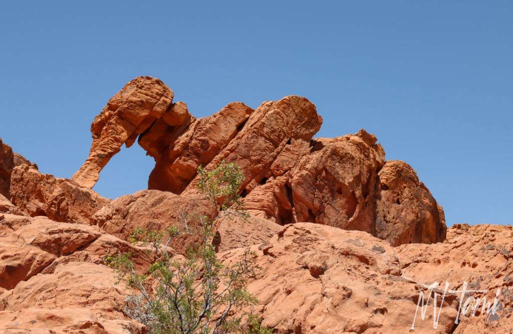
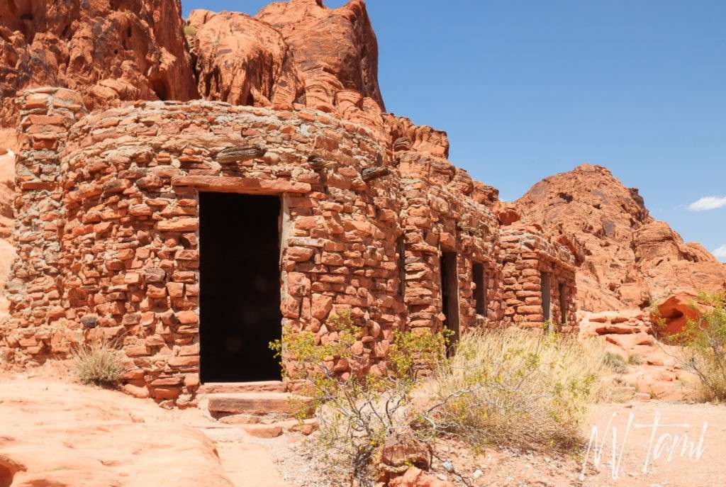
After visiting St. Thomas, I bribed my daughter with a granola bar and a treat in Overton (dang, my teenagers are always eating), if I could make a quick stop at Valley of Fire. “Wow!” is all I can say. With only driving into the park a few miles we saw bighorn sheep, wildflowers, historic structures, petroglyphs, the grave of a Civil War veteran, and of course the stunning red rocks.

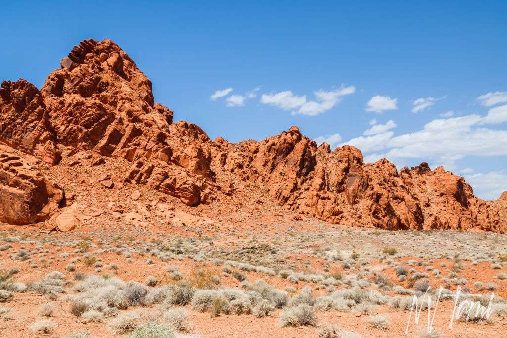
We ended our day where many of my trips begin at a Maverik gas station. They were out of my favorite food to eat on the road, burritos, but the staff was super sweet and made us fresh yummy steak burritos.
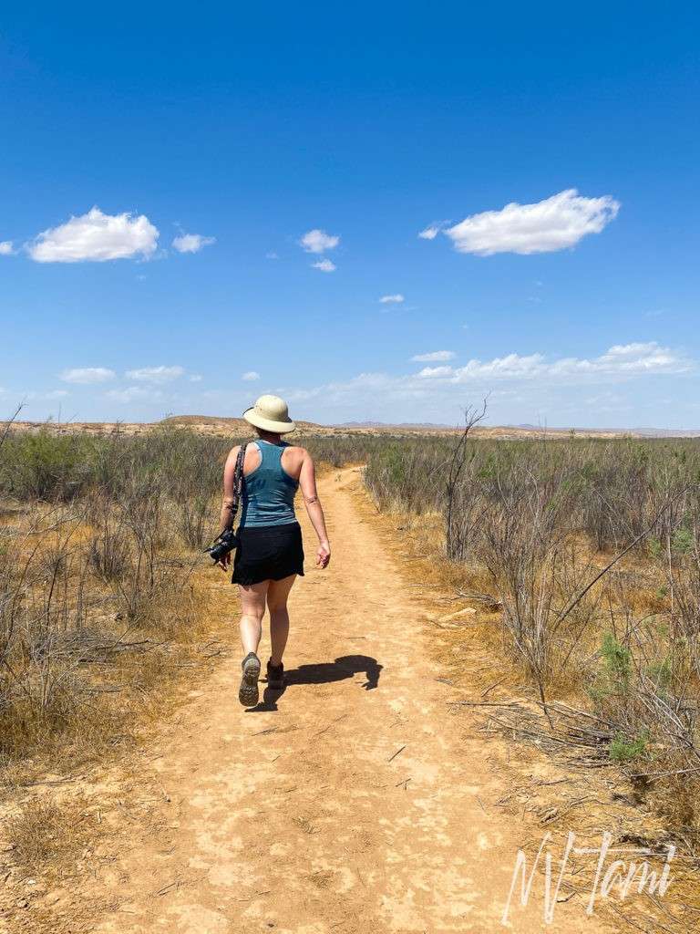
I forgot my hat at the rental, thankfully Hubby had put extras in the back. Don’t laugh, it protected my head and had more airflow than my normal hats.
Want more ghost towns?
For information on more than three hundred ghost towns in Nevada, visit the Nevada Ghost Towns Map or a list of Nevada ghost towns.
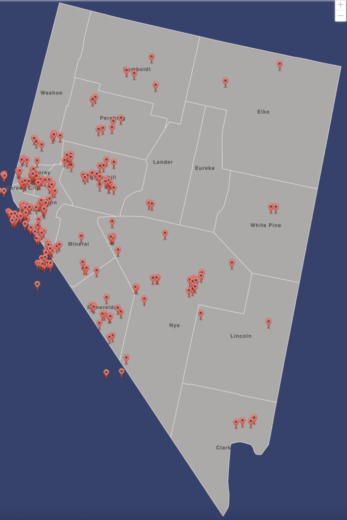
For information on more than 300 ghost towns in Nevada, visit Nevada Ghost Towns Map
References
- Atlas Obscura: St. Thomas Ghost Town
- Carlson, Helen S. Nevada Place Names: A Geographical Dictionary. University of Nevada Press, 1974. Page 208.
- The Daily Sentinal: Nevada town has disappeared and re-emerged over 150 years
- Find a Grave: Hugh Lord
- Gamett, James and Stan Paher. Nevada Post Offices: An Illustrated History. Nevada Publications, 1983 Page 114.
- GhostTowns.com: St. Thomas
- Lincoln, Francis Church. Mining Districts and Mineral Resources of Nevada. Stanley Paher, 1982. Page 28.
- Minedat: St. Thomas Mining District
- Myrick, David F. Railroads of Nevada and Eastern California. Volume II: The Southern Roads. Universitey of Nevada Press, 1963. Pages 624, 643, 661, 662, 683.
- National Park Service: St. Thomas
- Nevada Magazine: St. Thomas
- Nevada Public Radio: St. Thomas: Ghost Town And Ghost Lake
- News 3 LV: From the Depths of Lake Mead: St. Thomas, NV
- Outdoor Project: St. Thomas Ghost Town
- Paher, Stanley. Nevada Ghost Towns and Mining Camps. Nevada Publications, 1970. Page 287-289.
- Paher, Stanley. Nevada Ghost Towns and Desert Atlas. Nevada Publications, 2009. Page 122-123.
- Boulder Lake Covers Old Town Site: Reno-Gazette Journal, June 25, 1938:
- Census figures are discolosed for Nevada Points: Reno-Gazette Journal, April 26, 1930:
- It’s last census: Reno-Gazette Journal, April 26, 1930:
- St. Thomas salt deposits were worked 500 to 1200 A.D. accoridng to report: Reno Gazette Journal, June 30, 1937:
- Travel Nevada: St. Thomas Ghost Town
- Wikipedia: Arrowhead Trail
- Wikipedia: Bonelli’s Ferry
Scott Elliott says
A very impressive write up of St. Thomas, with a few pictures I had not seen before. Thank you!
Tami says
Thanks, your write-up was great too! I loved all the old photos of St Thomas, it is rare we have soo many.
Here is the link to your article for anyone who missed it. https://outerrealmz.com/breaking-surface-a-town-that-spent-64-years-underwater/
Bill Jimenez says
FHey Bill