Tami’s Travels: Full posts to follow
Last year my friend Jess and I discovered our birthdays were only two days apart. So in early August, I suggested a birthday ghost town trip. I was thinking of a day trip, but Jess suggested a four-day trip. Even better yet, I’m in! We dubbed it the “old farts ghost town trip.”
While I worked on accommodations, Jess planned out our route. Our birthday weekend fell on Labor Day, so we decided to plan the trip for late September.
We decided Bishop would be a good base; there is lots to explore and plenty of hotels and restaurants. Bishop can be hot as hades over the summer, but as our trip was into early fall, it would be cooler. As a benefit, nothing is more beautiful than the eastern Sierras in the fall.
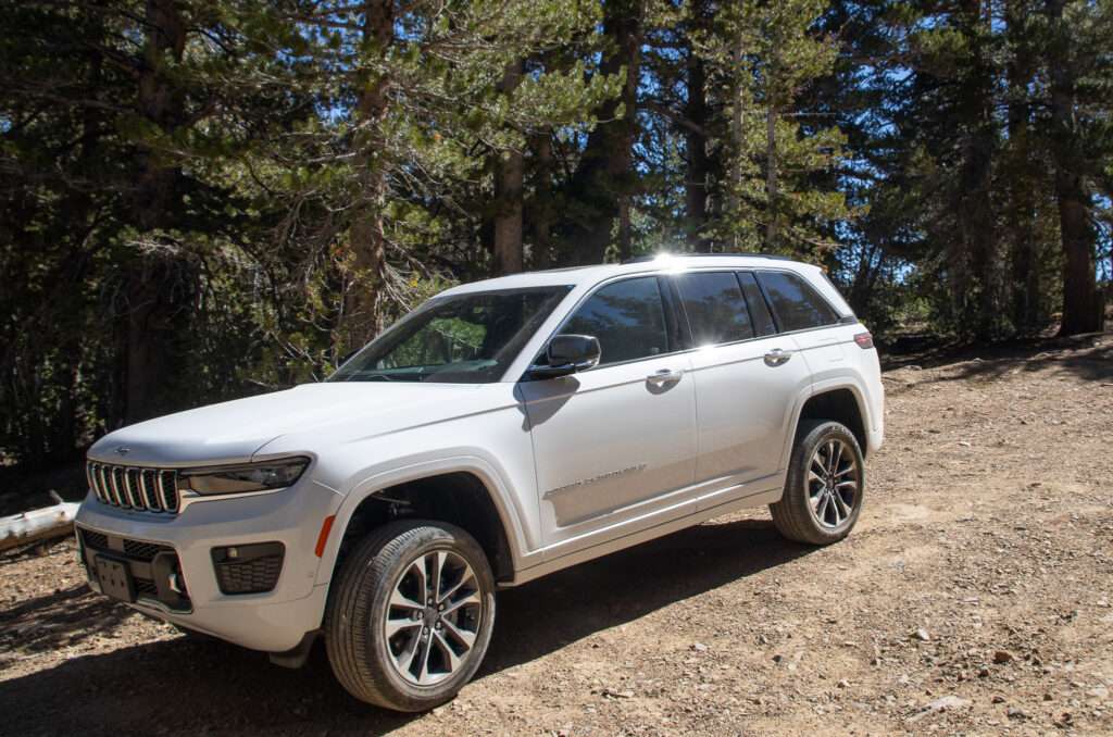
As Honey Badger is in the shop, I took my new Grand Cherokee Overland. Better to start her off right! I was anxious to see how it did off-road and especially to try the touch button 10″ lift.
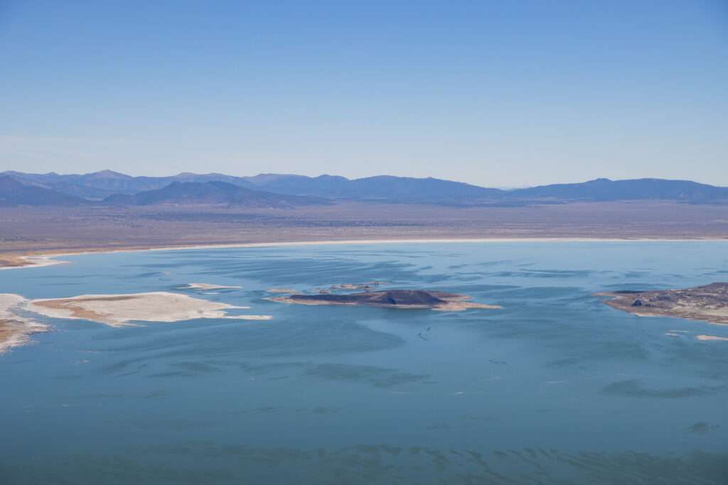
Mono Lake
Jess planned a few side trips on the way to Bishop.
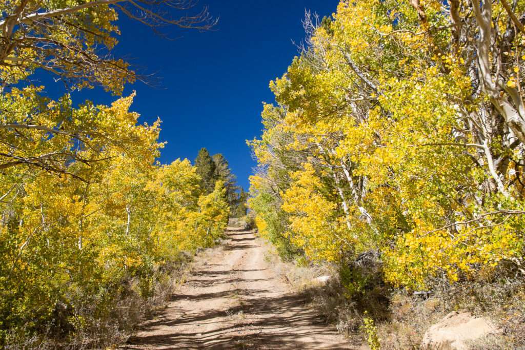
It was a pretty drive above Mono Lake; the leaves were starting to pop.
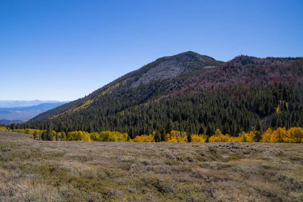
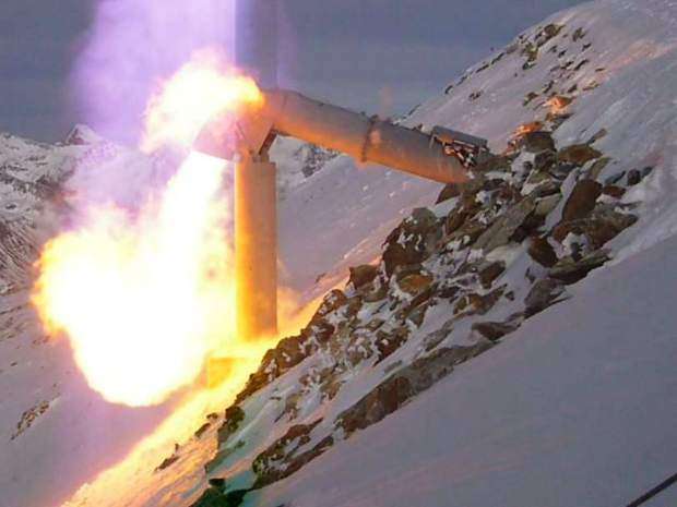
We opted to drive the scenic but more difficult round trip. This route took us past the Gazex avalanche cannons. I hear them during snowstorms but have never seen them. I think I watched too many movies; I expected someone to be staffing them, aiming them at the hillside.
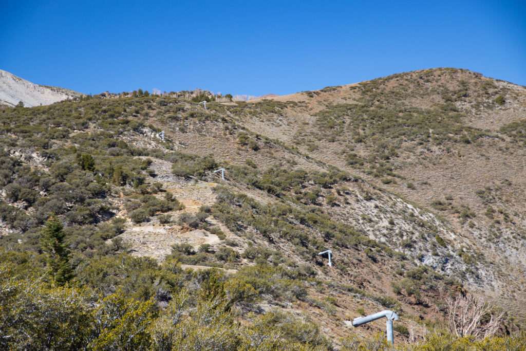
The canons are staggered and pointed down. We saw a worker at one of the buildings preparing for winter.
Lincoln Log Mine
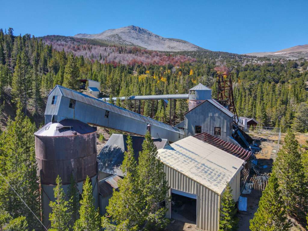
When my son was a toddler, I planned our first family trip. We stayed in June Lake and spent our time exploring the eastern Sierras. Of course, I had to hit a few ghost towns while in the area. One planned trip was to Lincoln Log Mine. Unfortunately, we missed the turnoff and ended up on the steep pass. I was having issues with heights then, and by the time we were down the pass, I only wanted to return to our rental.
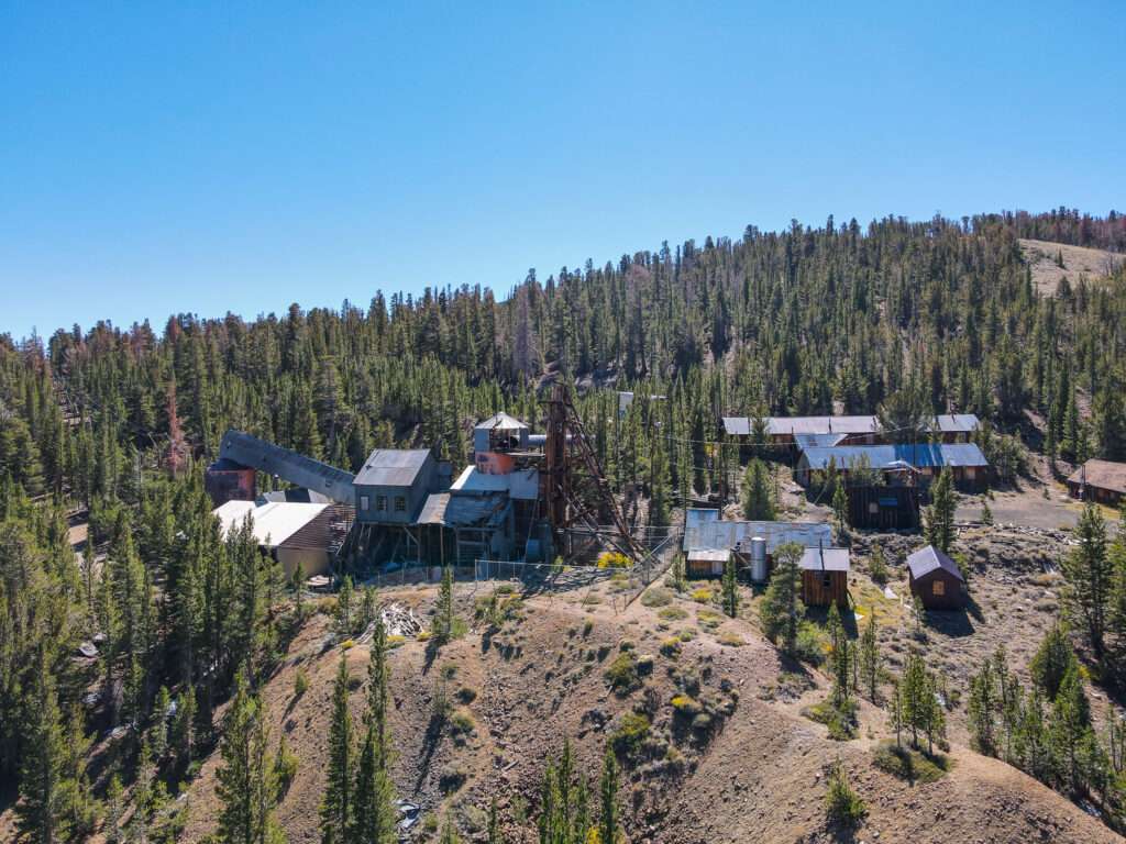
I am much better with drop-offs now, but I never made another attempt at Lincoln Log Mine. When Jess brought it up, I wanted to see the mine, but for me, it was more for closure and completion.
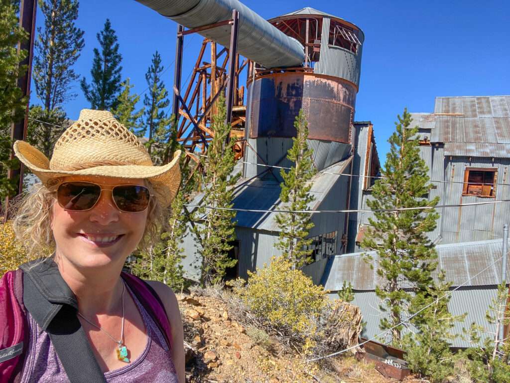
As the mine is relatively unknown online and untouched by vandals, I am using a variation of the mine’s name.
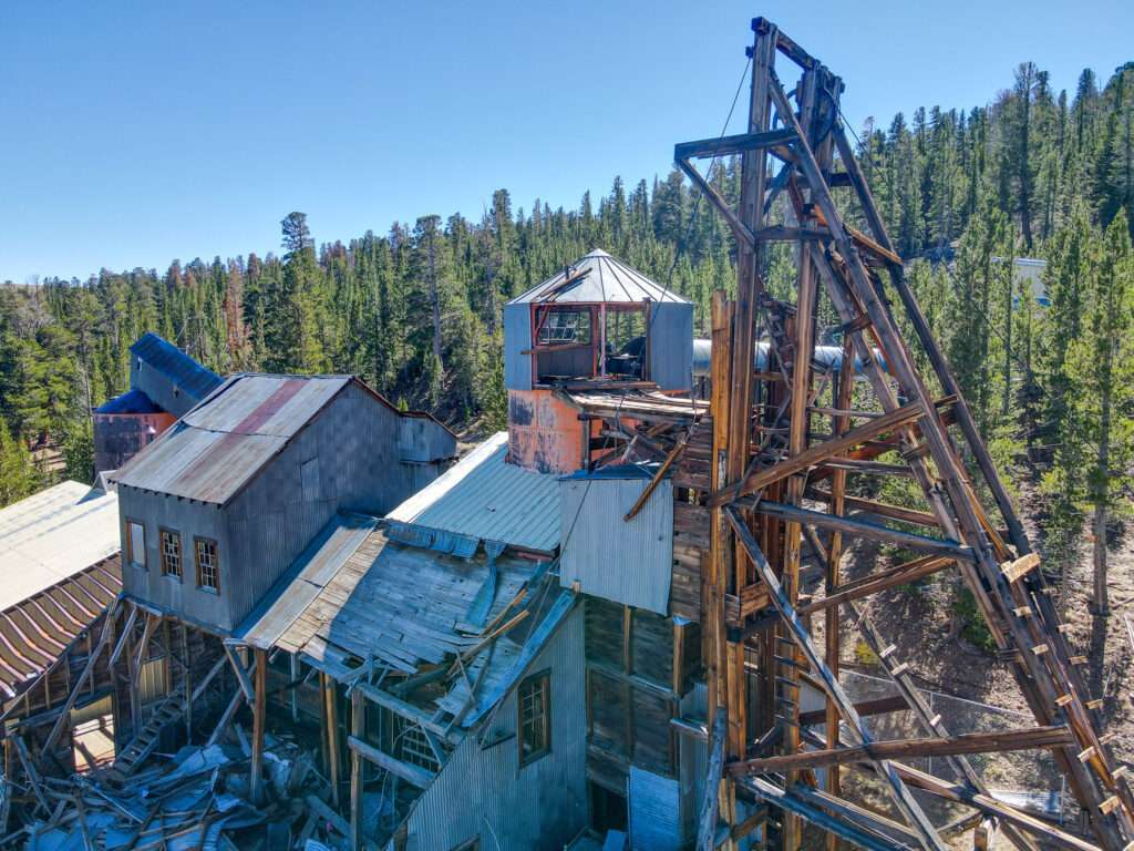
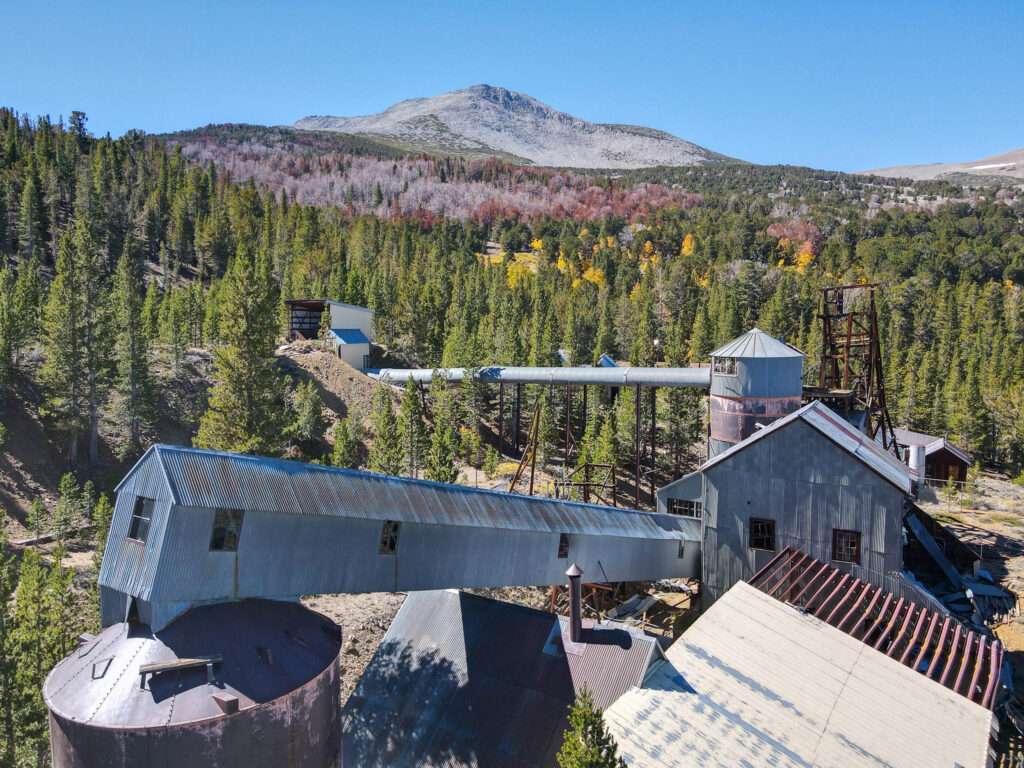
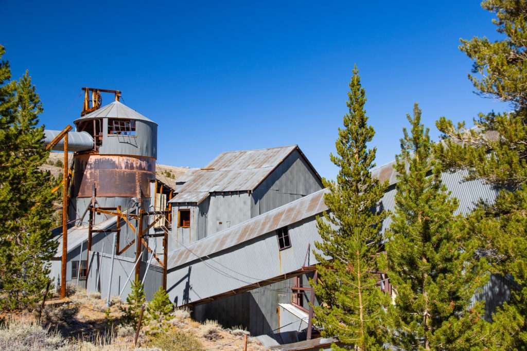
Gold was discovered in 1890 but not claimed until Jim Simpson obtained the mineral rights in 1910. A company from Washington State purchased Simpson’s claim in the 1930s. Forty miners worked at the mine.
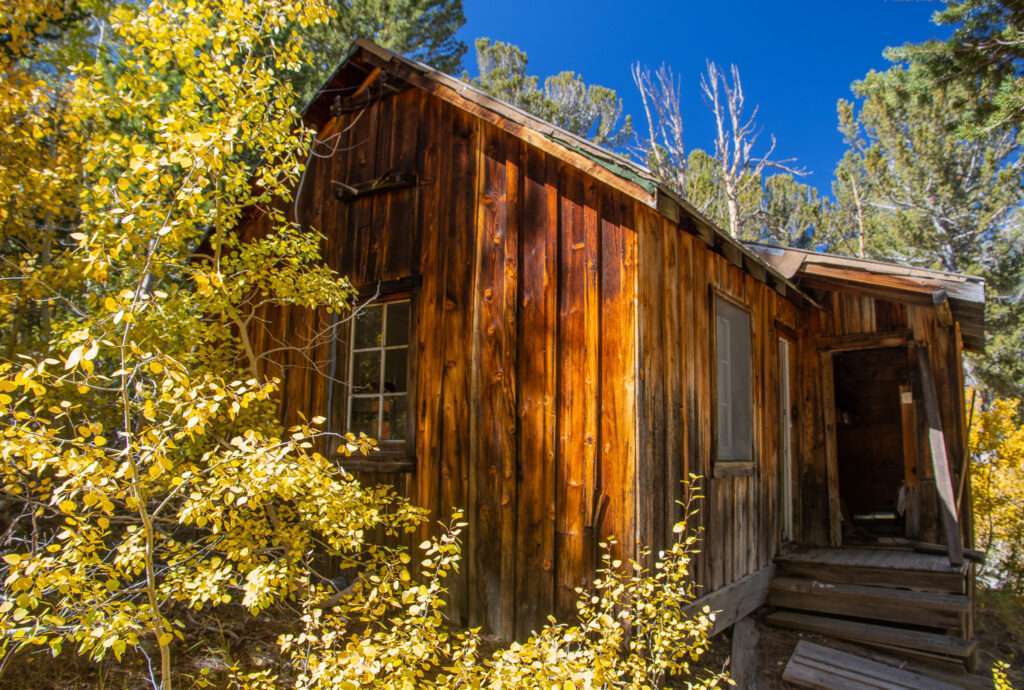
At almost 10,000 feet in elevation, Lincoln Log Mine experiences brutal winters and could have up to twenty-five feet of snow. Over winter, supplies were brought in by snowshoe. Sadly, two miners were returning from a St. Patrick’s day celebration in town and froze to death before they could make it back to the mine.
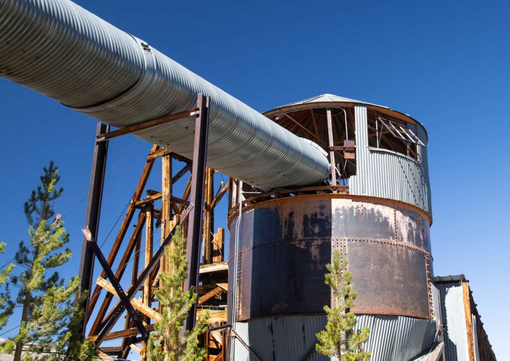
The mine closed with WWII. Operations resumed after the war, but little gold was processed. The facility was maintained until 1968.
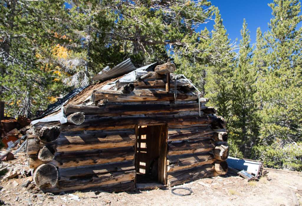
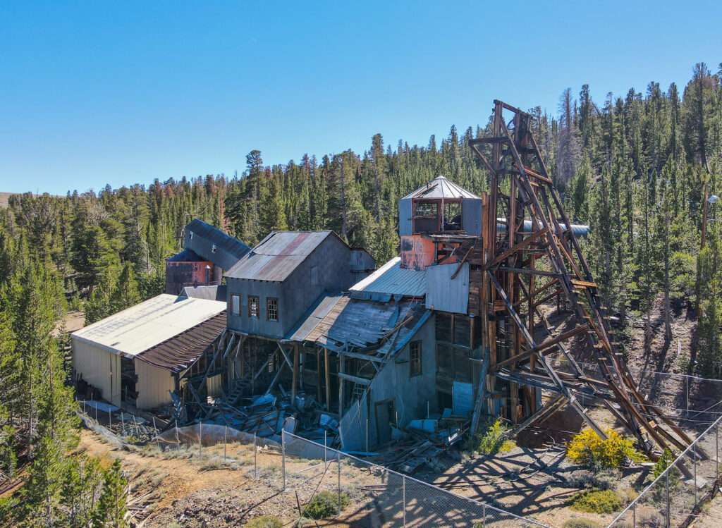
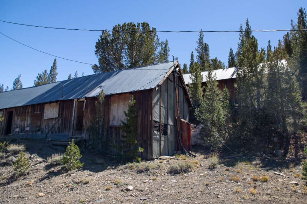
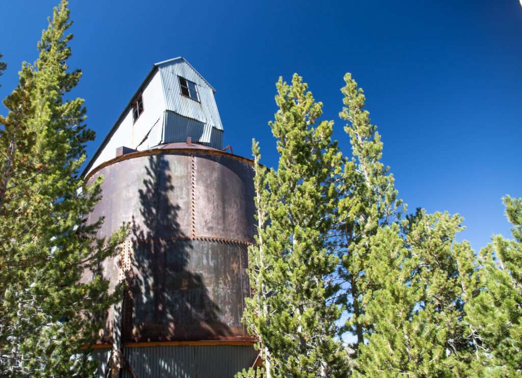
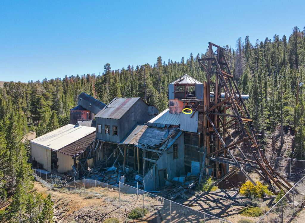
Lincoln Log Mine has extensive remains of a mill with a conveyor belt covered by a snow shed, an office, a boarding house, a cook house, a supervisor’s home, a workhouse for milling lumber, an assay office, an insulated meat house as no refrigeration was on site.

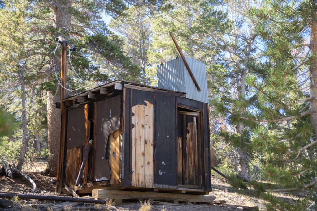
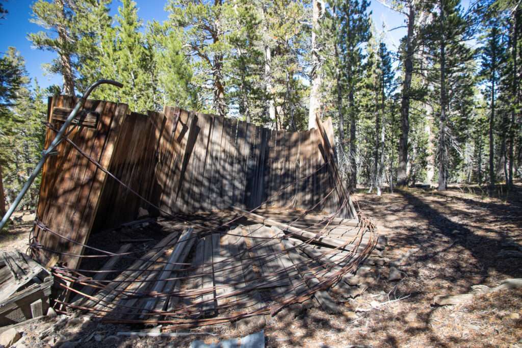
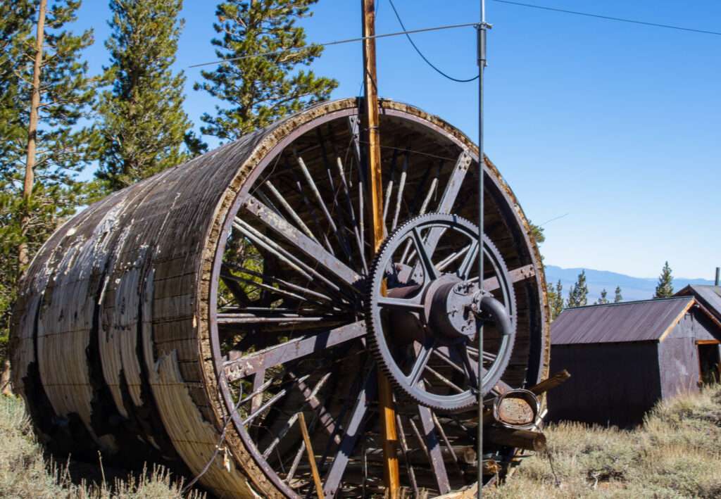
Drone Down
Lincoln Log Mine is unique and massive, so I decided to fly the drone. I got some fantastic photos of the snowshed covering the conveyor belts. Finally, I took my last photo and was ready to return home.
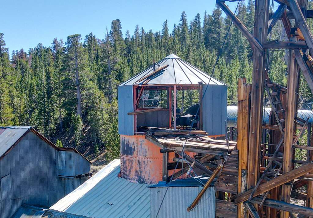
As I finished my last photo, an updraft pushed the drone up, hitting a conduit that collapsed one arm. It has avoidance detection on the sides but not on the top. It only fell a few feet but landed upside down on a rickety building next to the headframe. It was still working, and we could see the camera feed.
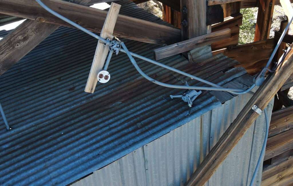
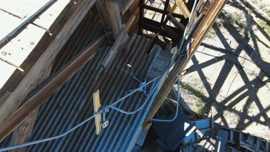
It was sending out a sad sound and flashing lights to tell me where it was, but there was no way to reach it. Walking away while it was calling me to come to get it was painful. Baring a rescue drone with a grapple or some superhero with a lasso, I can’t think of any way to get it back. I have insurance on the drone and low-resolution photos on my camera, but the drone and SD card is gone.
Crowley Lake Columns
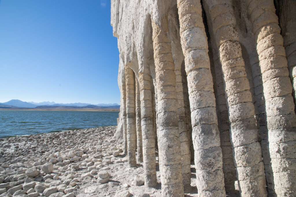
I have seen pictures of the columns at Crowley Lake but thought they had to be accessed by boat. You can drive to them for part of the year, and most of the road isn’t too bad. I left the Grand Cherokee at the base of a hill that looked like moguls on a ski slope. I wish I had a picture of them; they were crazy.
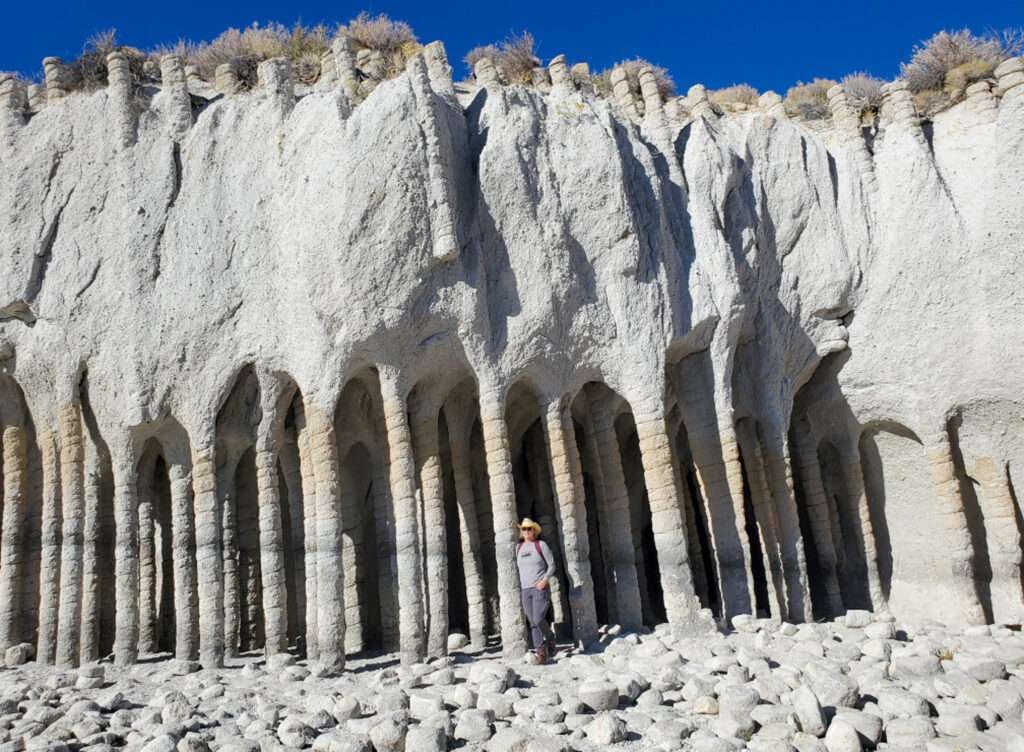
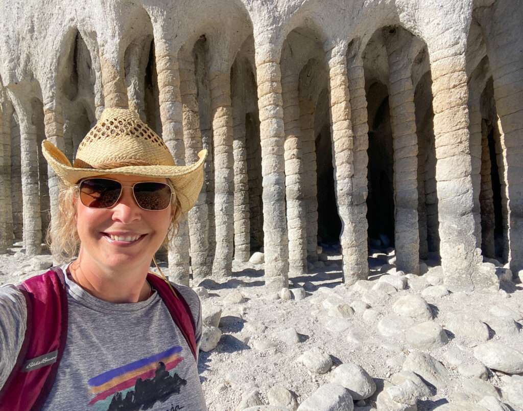
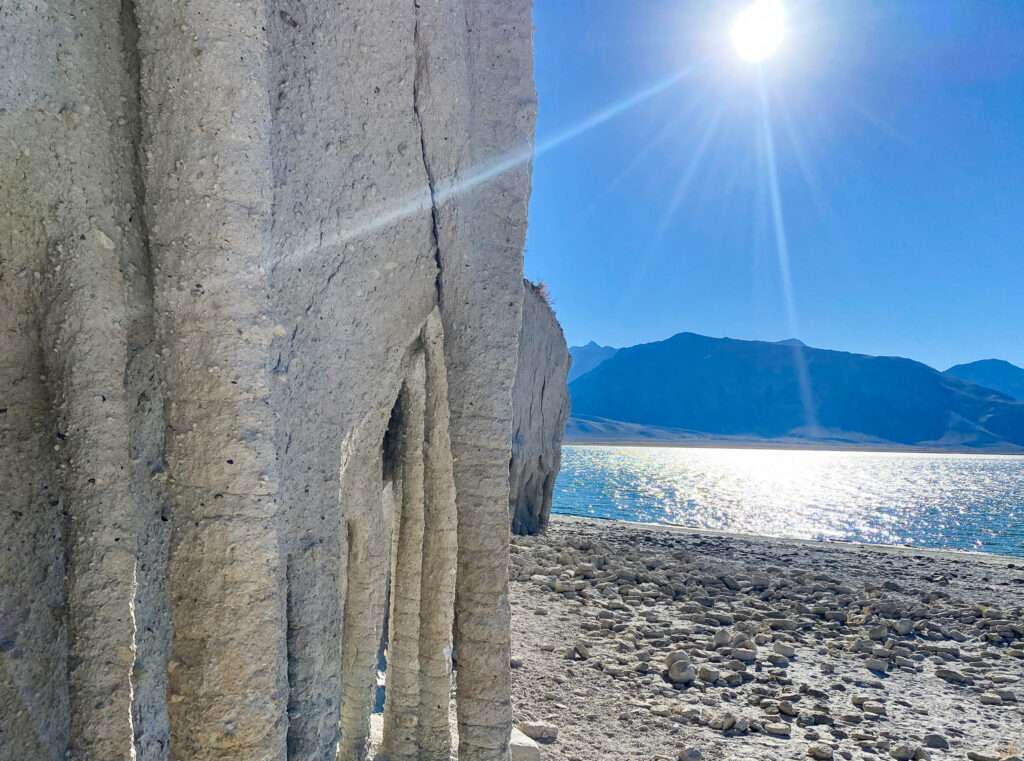
The columns lived up to expectations; they were otherworldly looking. Thankfully we arrived first and got some photos. Not long after, it was neverending visitors. For some reason, it seemed like everyone aside from us was a twenty-year-old burner. It makes me wonder if some influencers had pictures on the columns, and everyone had to visit. Jess questioned if they would visit if they couldn’t post a pic on social media.
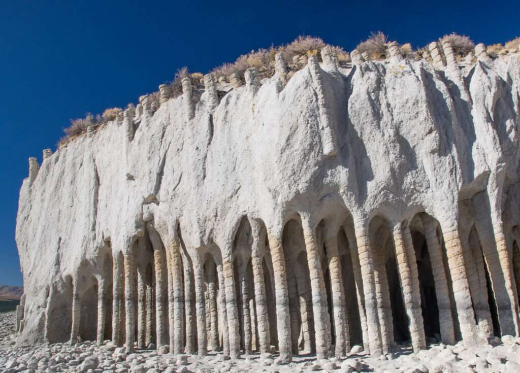
Crowley Lake is a reservoir built in 1941. There is disagreement about the formation of the columns. Some believe they are rock resistant to erosion from the lake; others believe they are volcanic. I bet if I looked, someone attributes their creation to aliens.
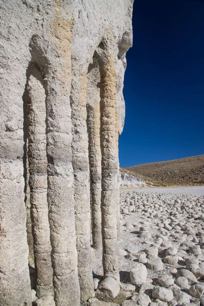
Even if you reach the parking lot, it is a bit hike down to the columns. The hike back up is more strenuous, hiking on the sand up a steep slope. Halfway up, I got a much-needed break; Stan Paher called to tell me he sent me books. I asked which ones, Stan, always the joker replied: Burlesque for Beginners.
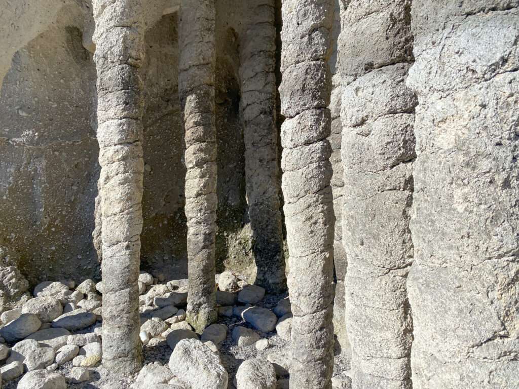
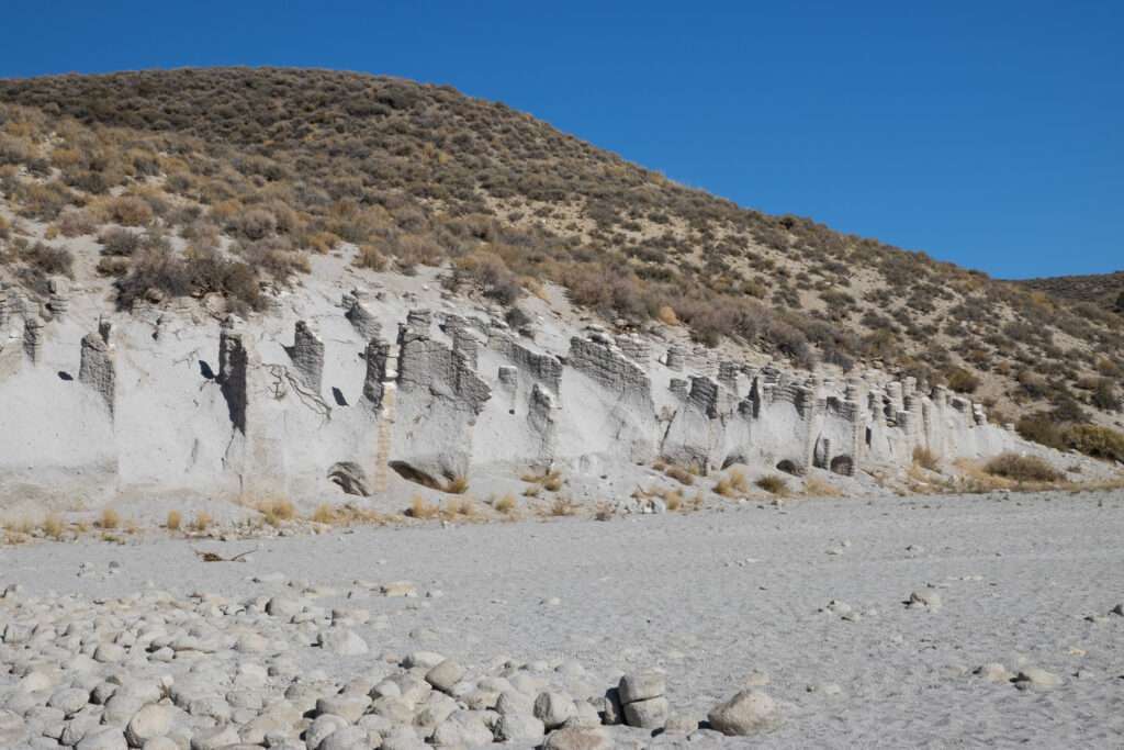
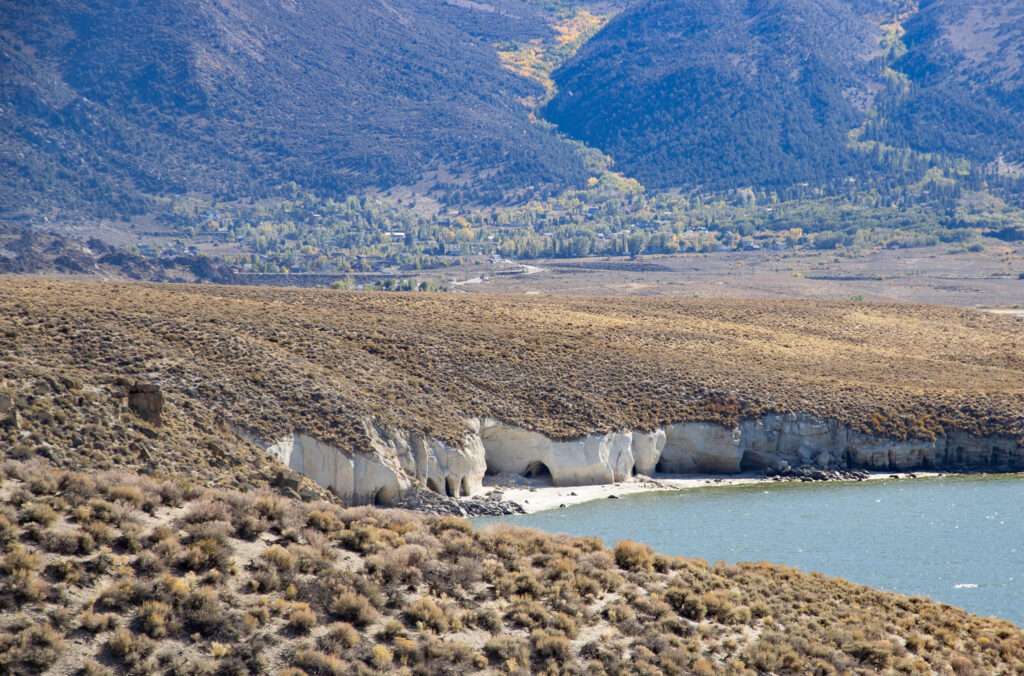
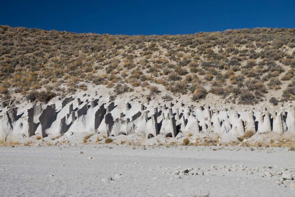
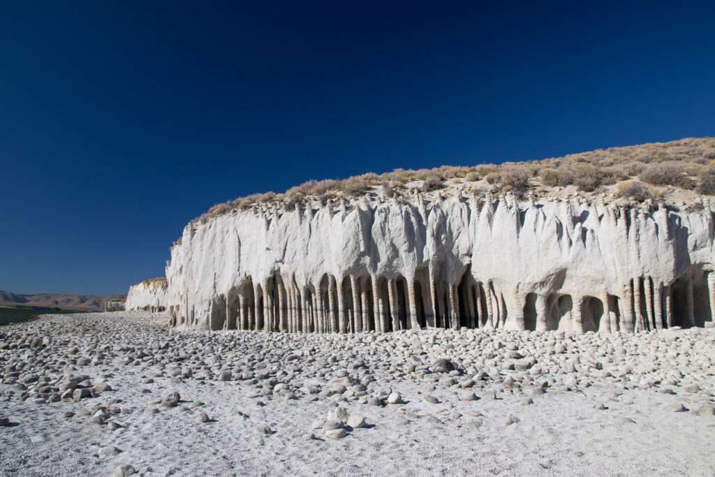
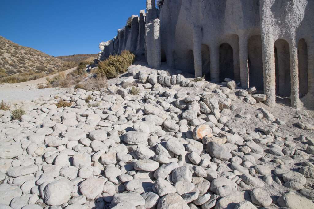
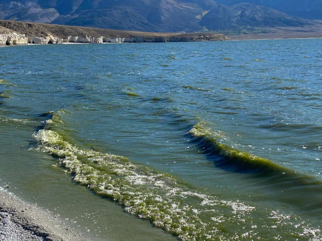
Yup, the lake really was this color. It reminded me of barley green my dad used to have us drink to avoid mosquito bites. It tasked as good as this looks.
Home away from home
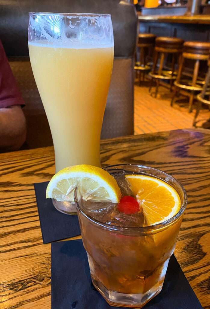
After our hike back out from the columns, we headed to Bishop. Our hotel was conveniently next to Whiskey Creek. Surprisingly neither of us was very hungry, so we split appetizers for dinner. The steak and brie crostini was so amazing we went back the next night. Like the old farts we are, we turned in early.

Jeffery Mine
We got up early the following day and exchanged texts warning each other to be careful as most injuries to old farts happen in the bathroom. Then, after a quick breakfast, we headed out to explore.
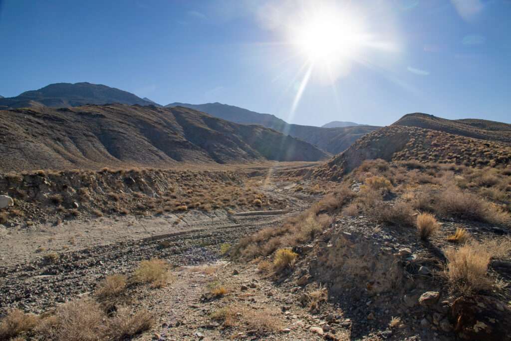
Our big plan for the first day was Jeffery Mine. We spent a ton of time and miles checking each possible route to the site. I swear half of the mountain must have slid down, covering the roads and creating major washouts. The only way in looks like a helicopter or a killer hike.
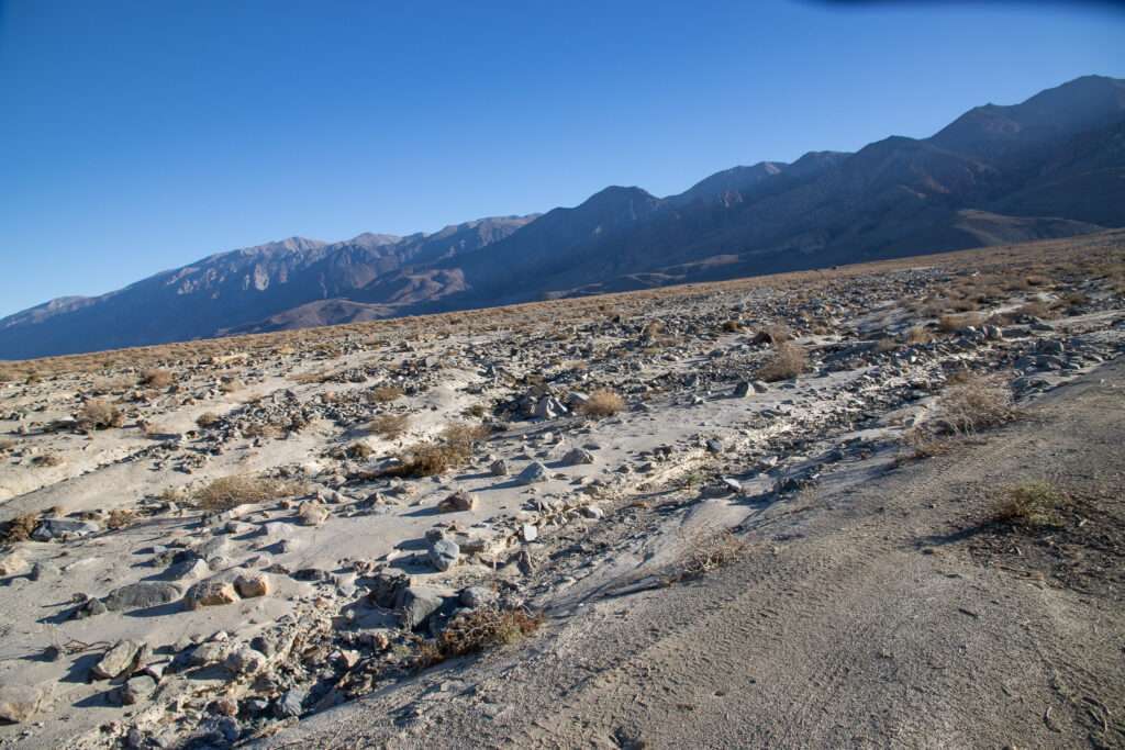
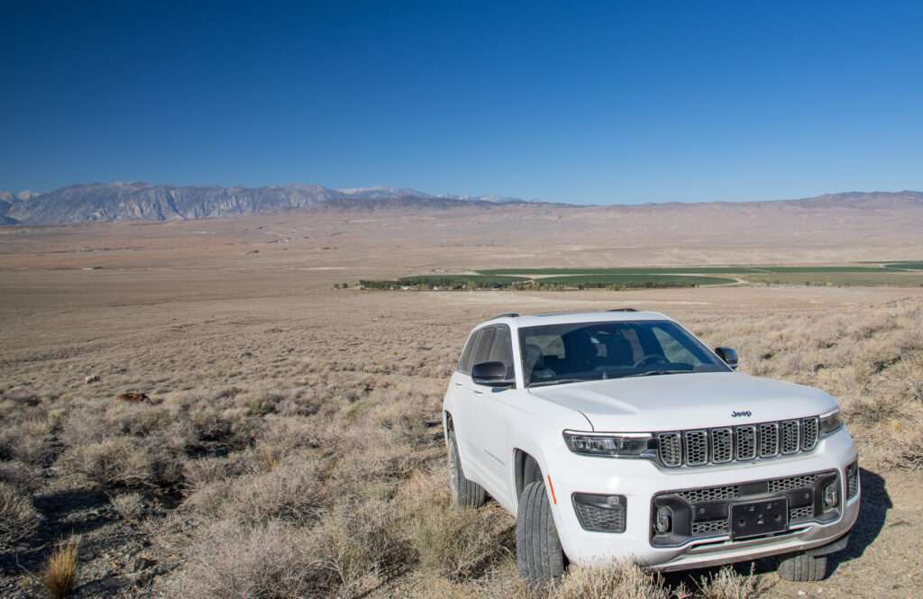
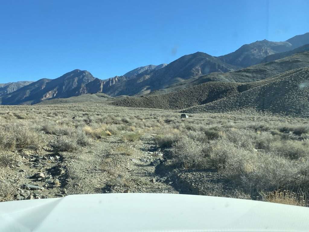
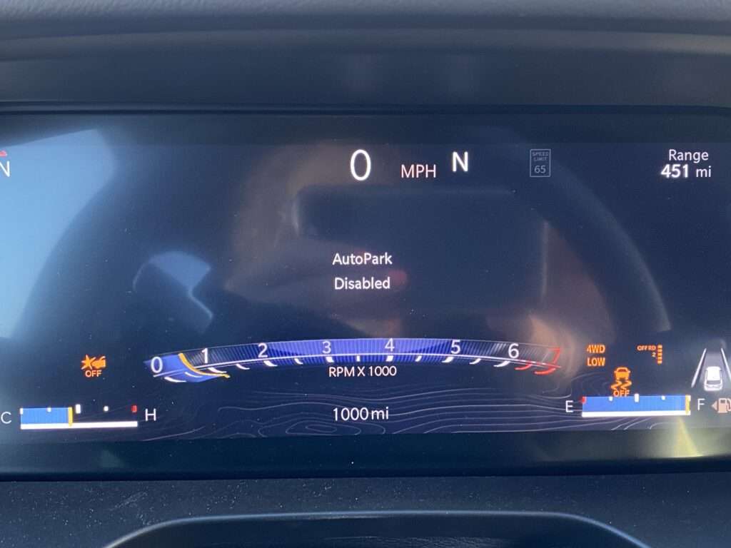
The Grand Cherokee handled great off-road. It hit 1,000 miles in 4-low and the 10″ lift raised.
Queen Canyon, Nevada
After our first site was kiboshed we met in Benton and used the old farts method of planning trips, paper atlas, and trail book. I found a close listing for Queen Dicks Ranch. Seriously, how could we pass up something by that name? So, with limited cell service, we took off, hoping to find something.
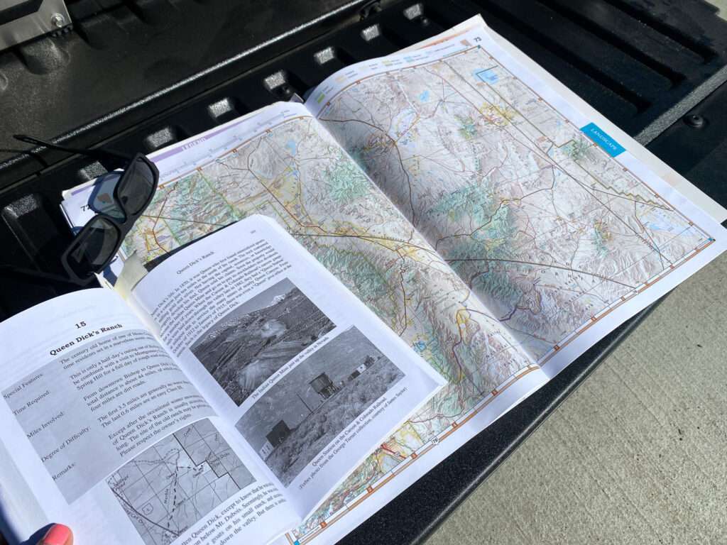
En route, I received a message from Nevada Expeditions. Unfortunately, Jess and I had difficulty finding Queen Dicks, so while Jess looked up local mines, I sicked Boy Wonder on finding GPS coordinates for us. He sent us Queen Dicks Ranch and Montgomery City, a ghost town I thought looked interesting.
We never found Queen Dicks Ranch but had fun exploring Queen Canyon, just over the Nevada border in Esmerelda County.
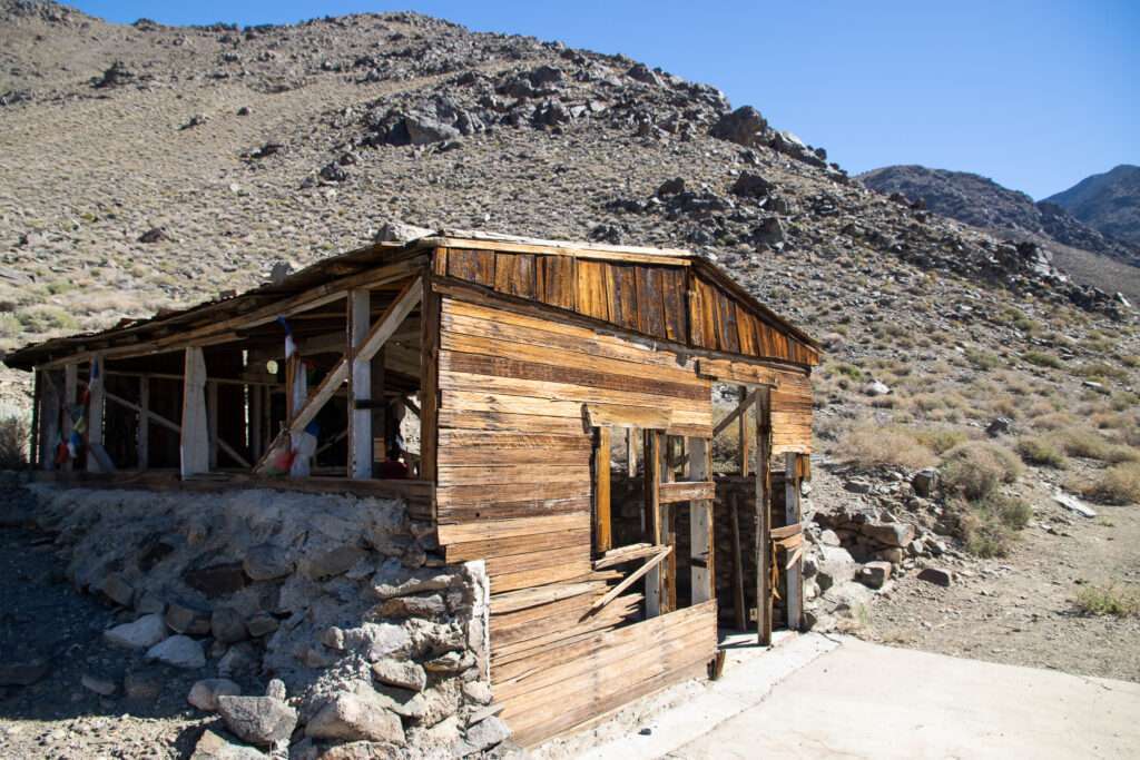
Queen Canyon Mine
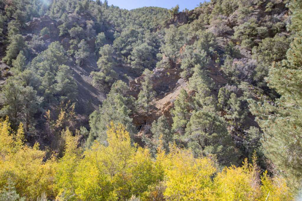
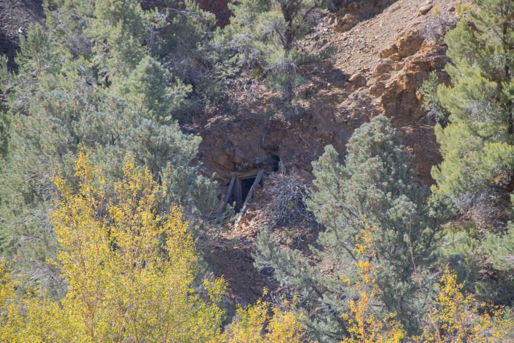
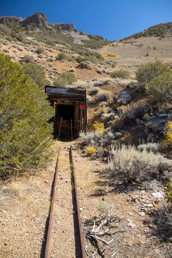
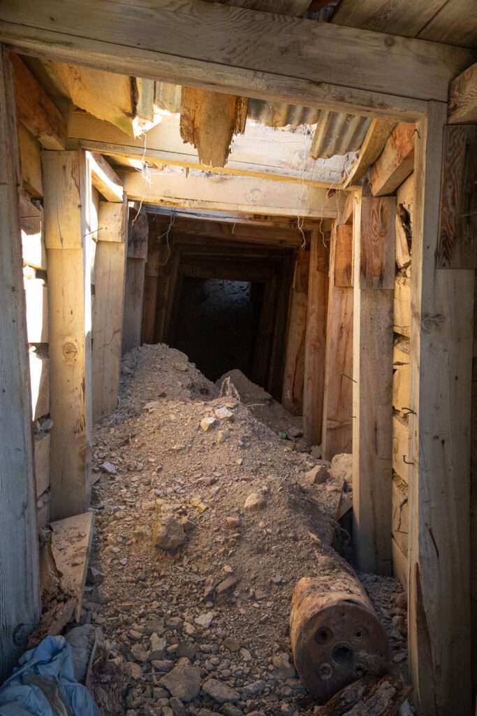
While Jess was consulting the GPS, I looked over and noticed this mine. I haven’t found a name, but Queen Canyon is dotted with adits and tailings.
Albert Mine
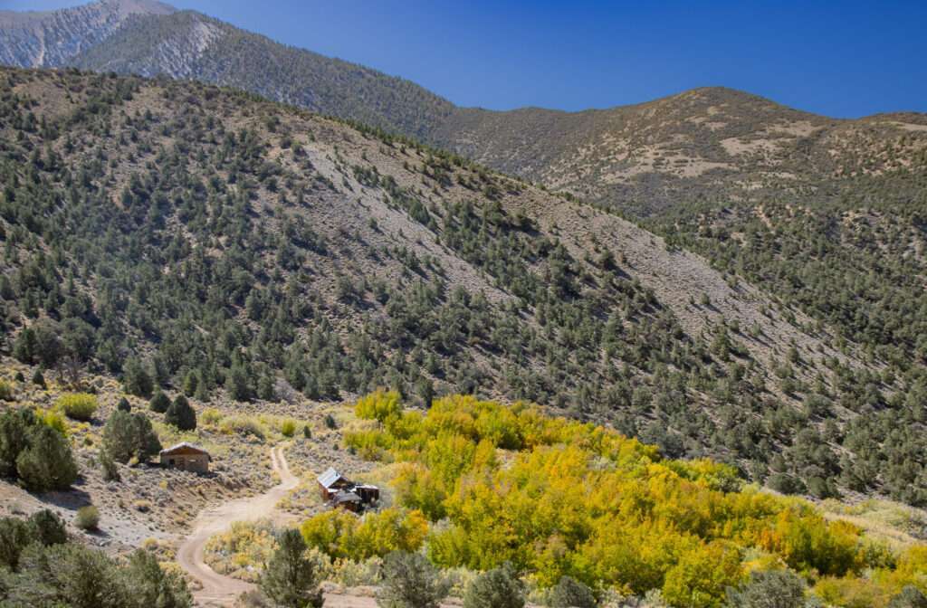
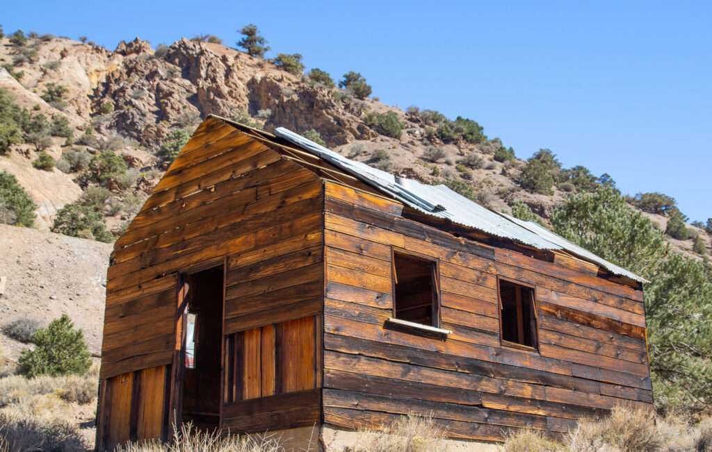
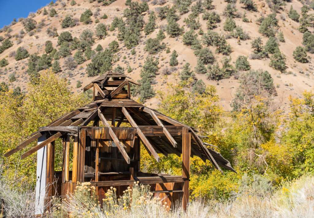
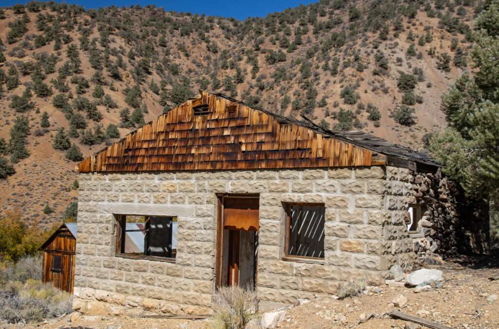
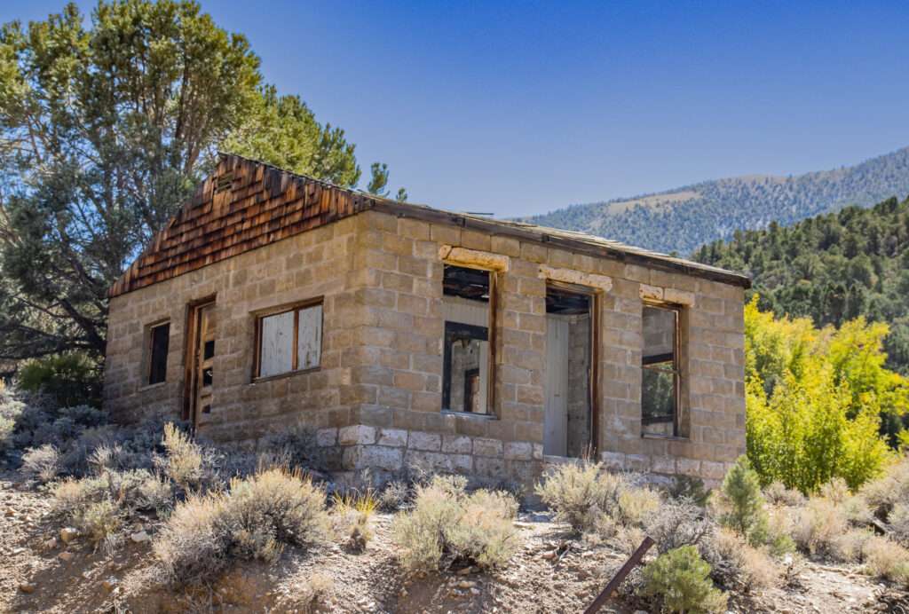
Albert Mine is really cool in itself, but the fall colors made it spectacular.
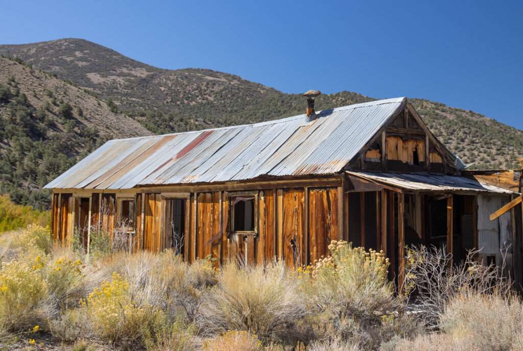
Albert Mine produced silver, gold and lead.
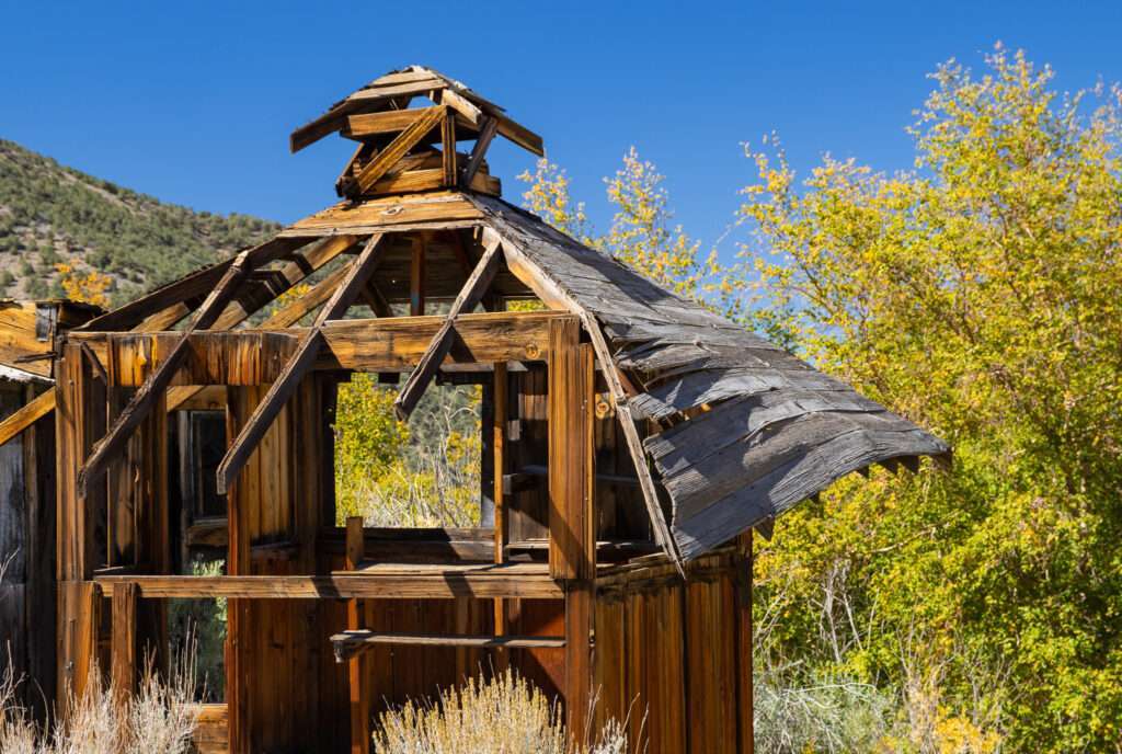
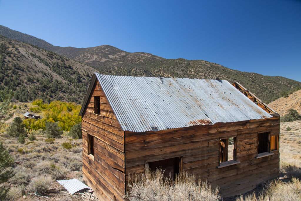
Queen Mine
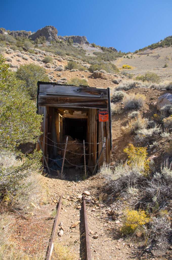
Walking in the middle of nowhere, I was surprised when a dog ran up and jumped on me. We were shocked as we thought we were the only humans in the area. How do dogs know I’m a sucker? He dropped a stick at my feet to play fetch. Soon after, a couple comes around the corner. They live in their camper and travel the country, creating videos about geology for their Youtube channel, Let’s Go Geo.
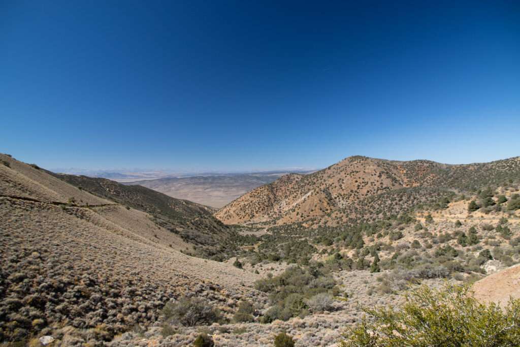
Montgomery City
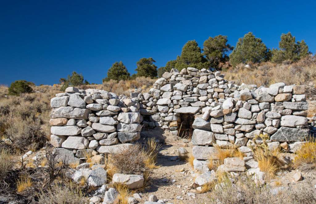
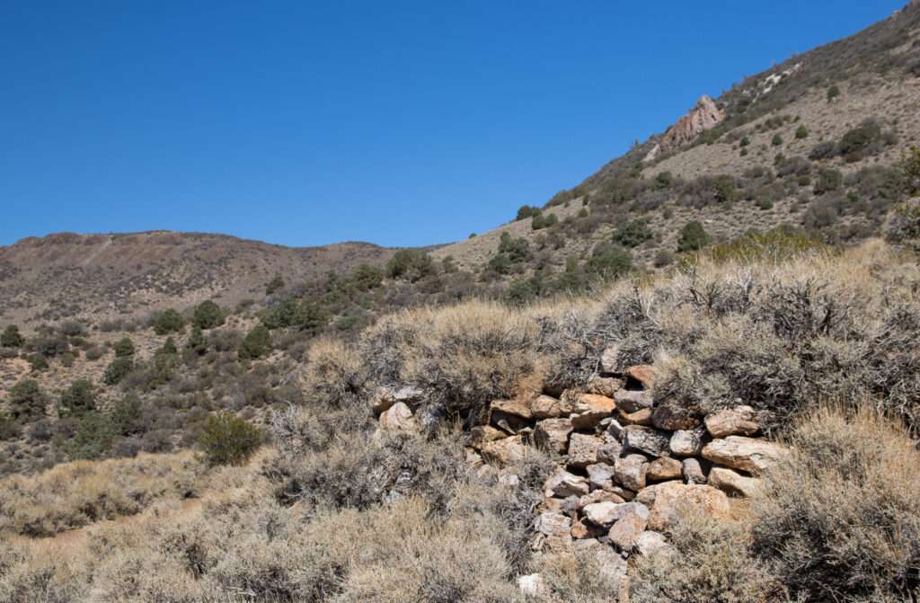
Our final stop of the day was Montgomery City. It was only three miles off the highway, so it seemed like a good idea. I’m sure “only three miles” will be an ongoing joke. I should have paid more attention when the guidebook said…
While the site is only three miles from a paved highway, the Class III route is rough enough to discourage all but those in appropriate vehicles.
Inyo-Mono SUV Trails, Roger Mitchell
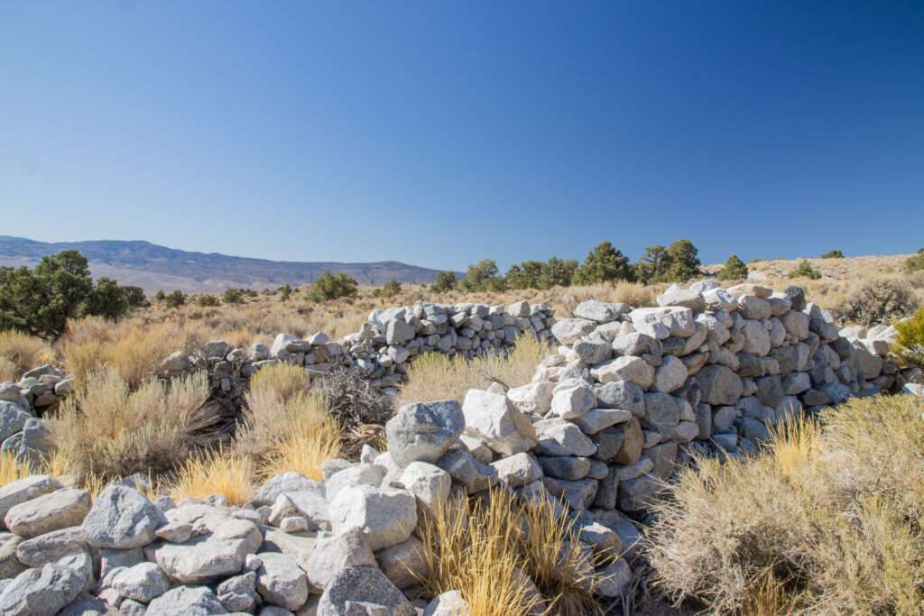
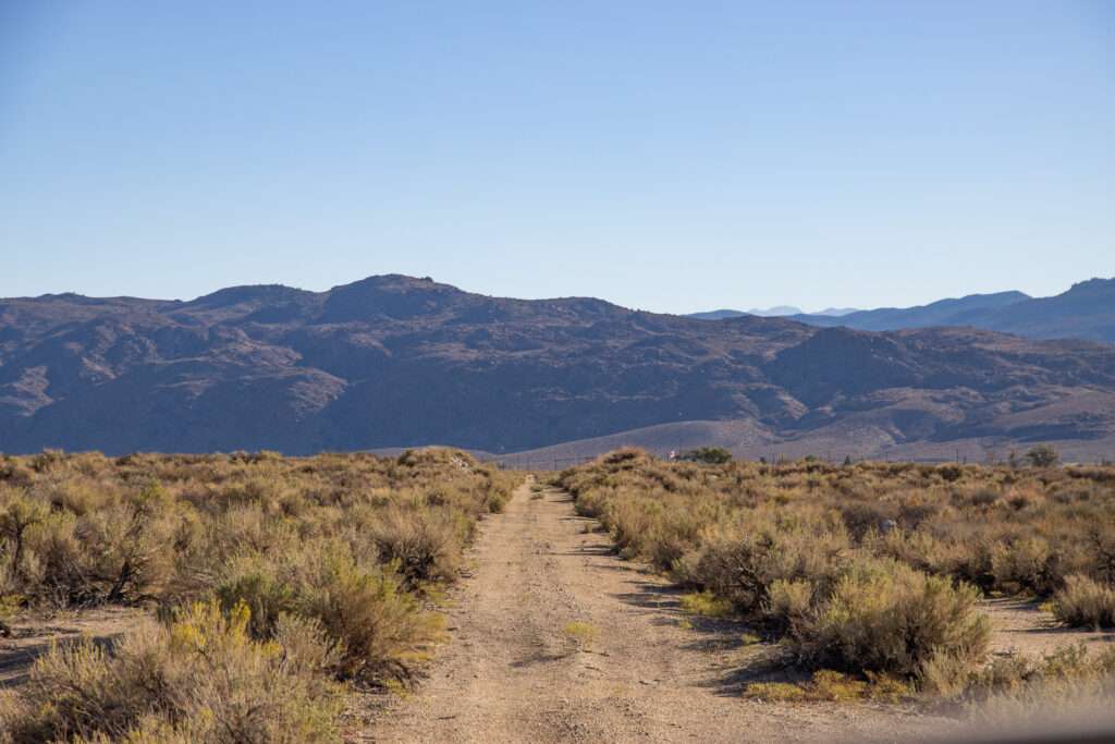
The three miles took hours; our speed ran between one and two miles per hour. We debated if we should turn around two miles in but decided we were too close not to visit.
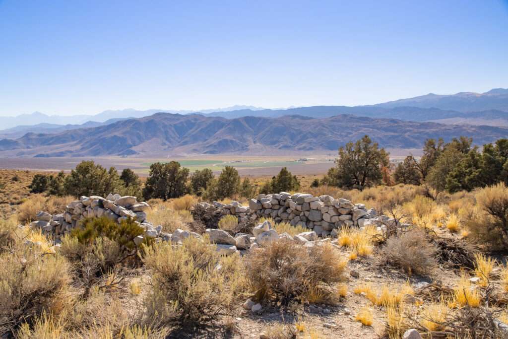
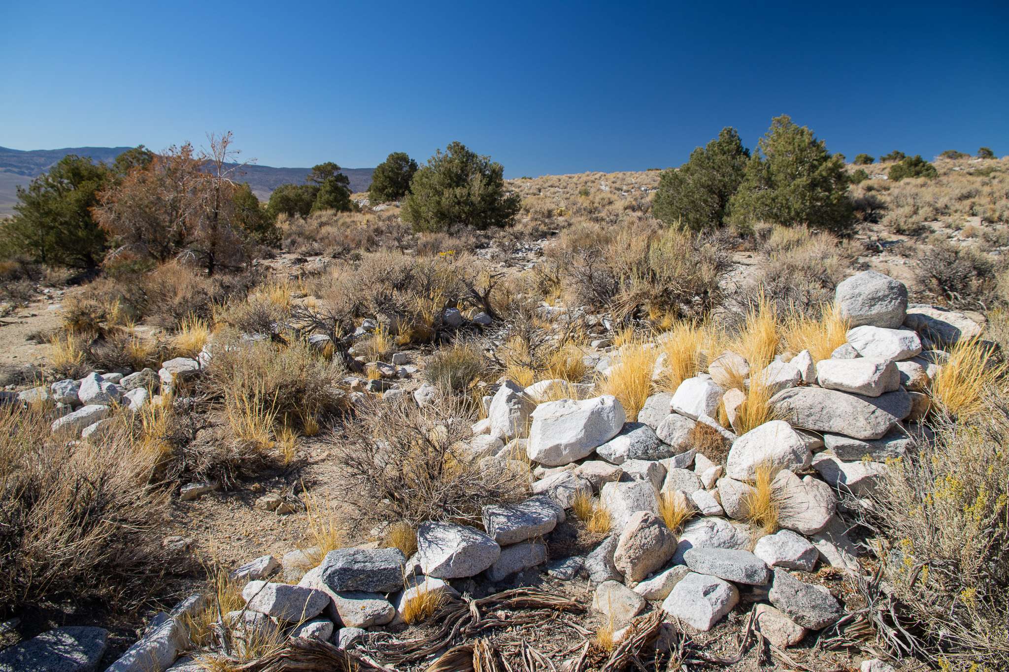
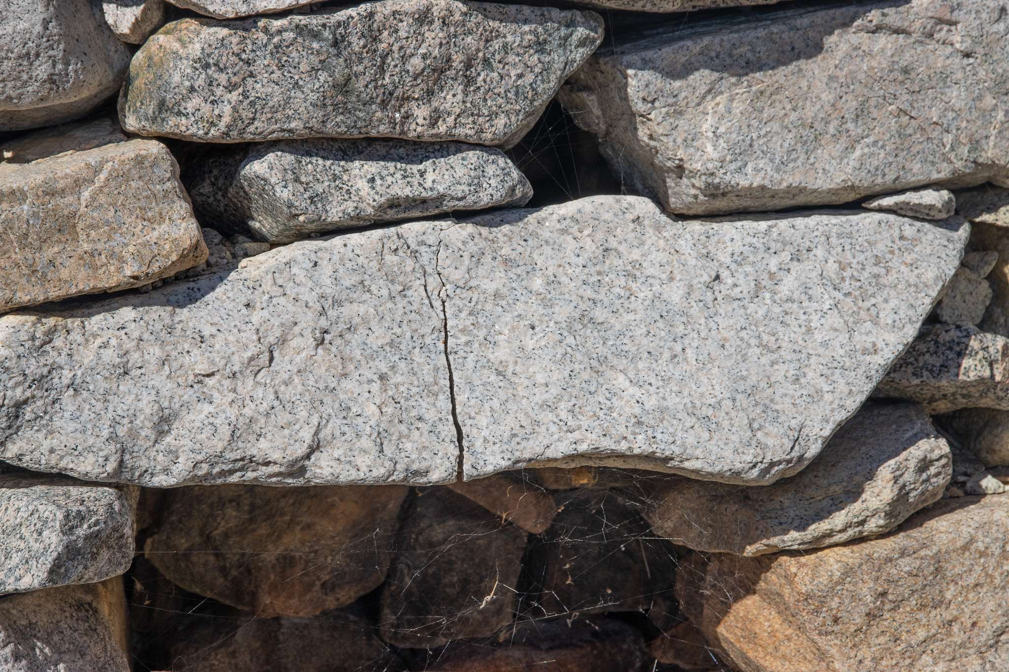
Prospectors found silver at the base of the White Mountains, and Montgomery City began in October 1863. The town had one stamp mill, but its remote location made processing difficult. Montgomery City was large enough to have two newspapers.
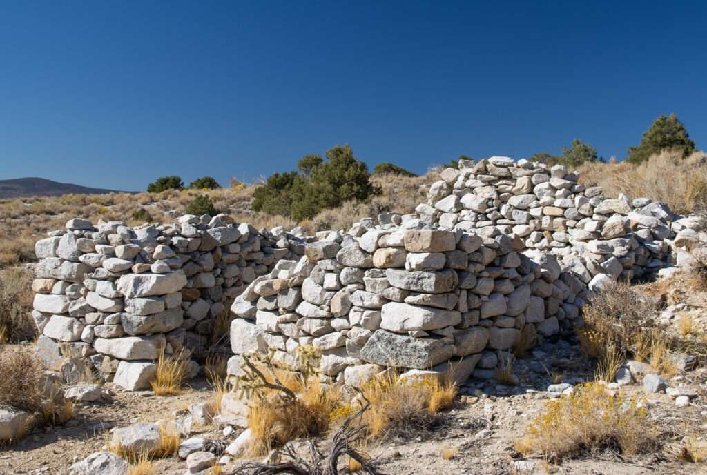
With strikes at Blind Hill, many miners relocated. By 1883, the mines and mills had closed.
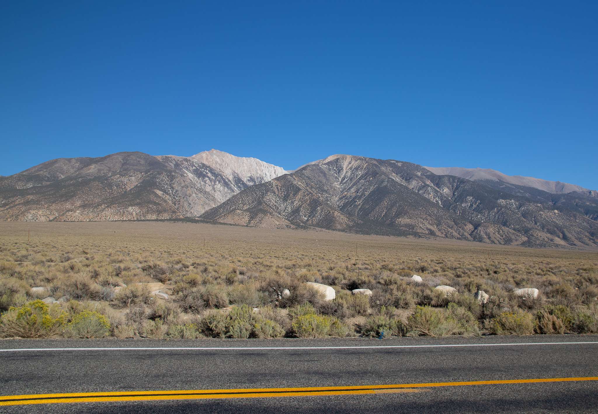
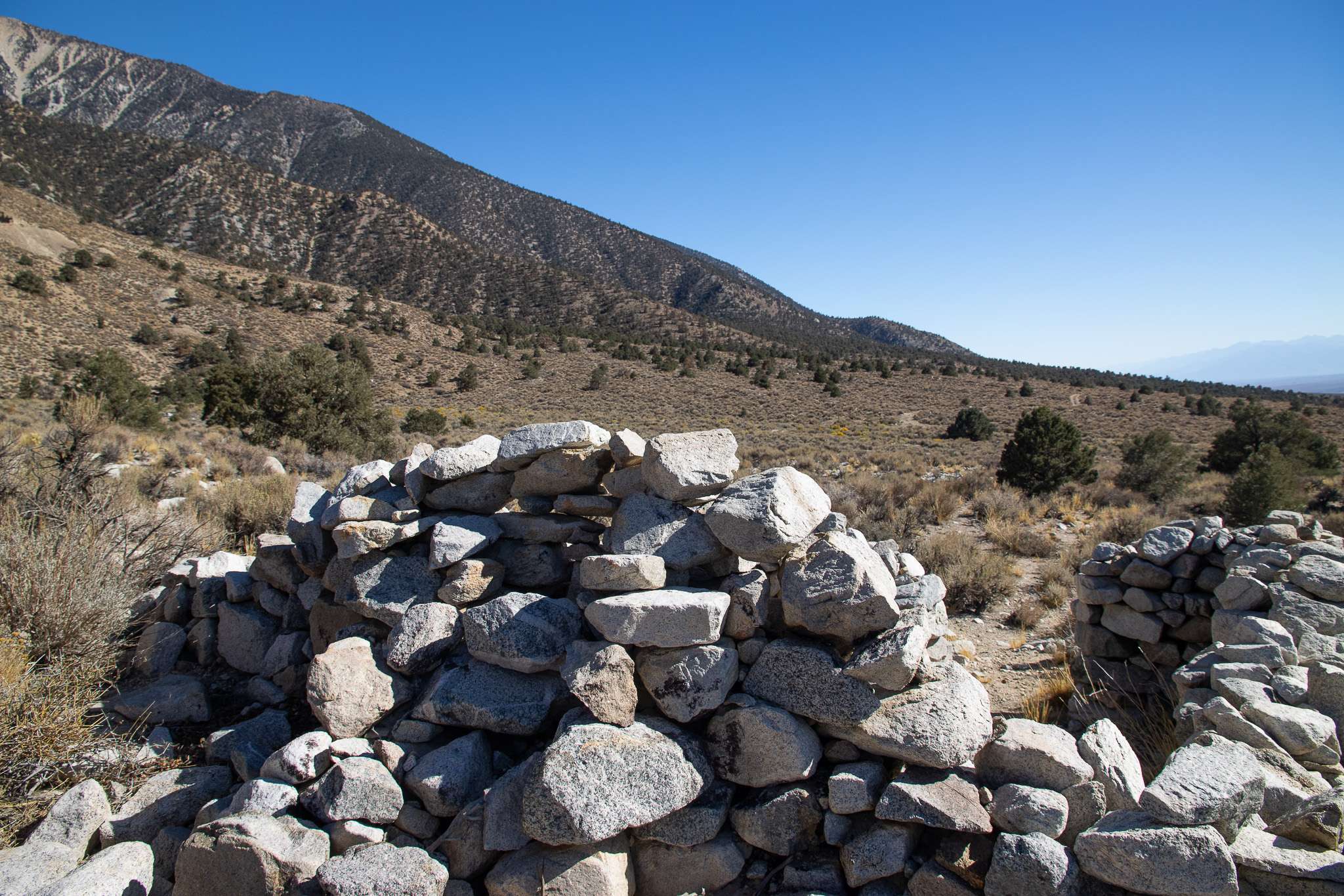
Getting back to the highway was another experience. Jess said no way were we driving back “only three miles.” So we went much further but drove at a more respectable 3-5 mph. Again, we ran into numerous washouts, but thankfully with a few modifications were able to cross.
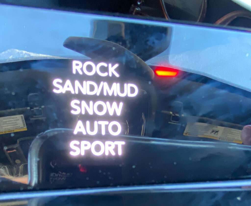
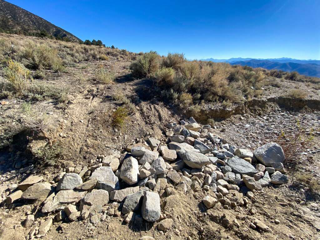
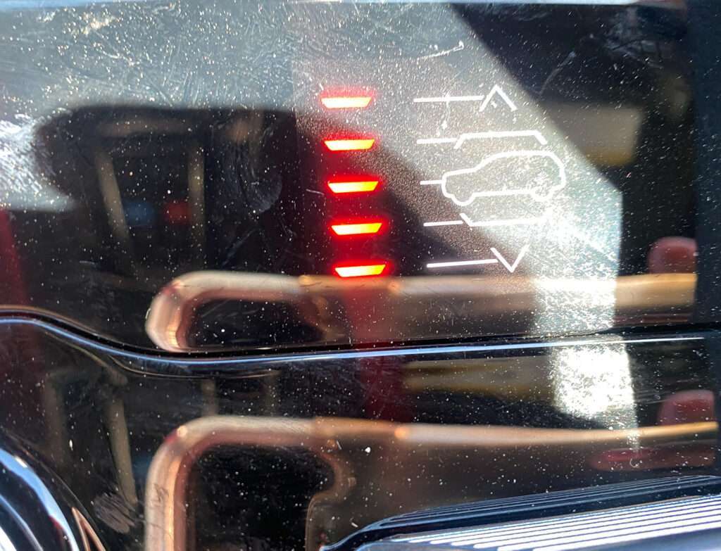
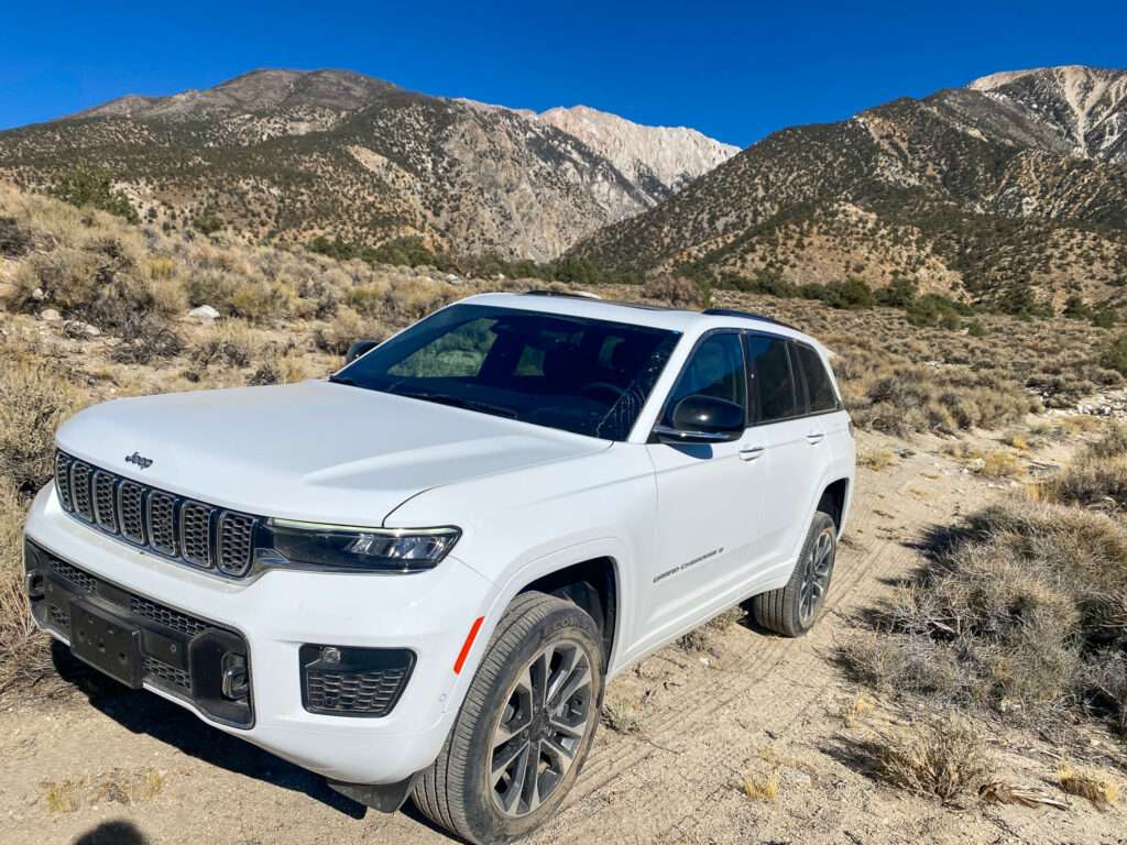
Every time we hit a wash, my heart sank, thinking we would have to turn around. When we finally reached the bottom, we saw a fence in the distance. On the radio, we discussed who would “send it” through the fence first because there was no way we were going back. Thankfully, the off-road gods smiled at us, and the fence was on the other side of the highway.
We were so beat up when we arrived in Bishop, our first stop was Whiskey Creek for drinks and another dinner of appetizers.
Schat’s Bakery
I can’t go through Bishop and not stop at the delicious bakery at least once. On this trip, we hit it for several days for breakfast. It might not have been the healthiest way to start the day, but it was delicious!
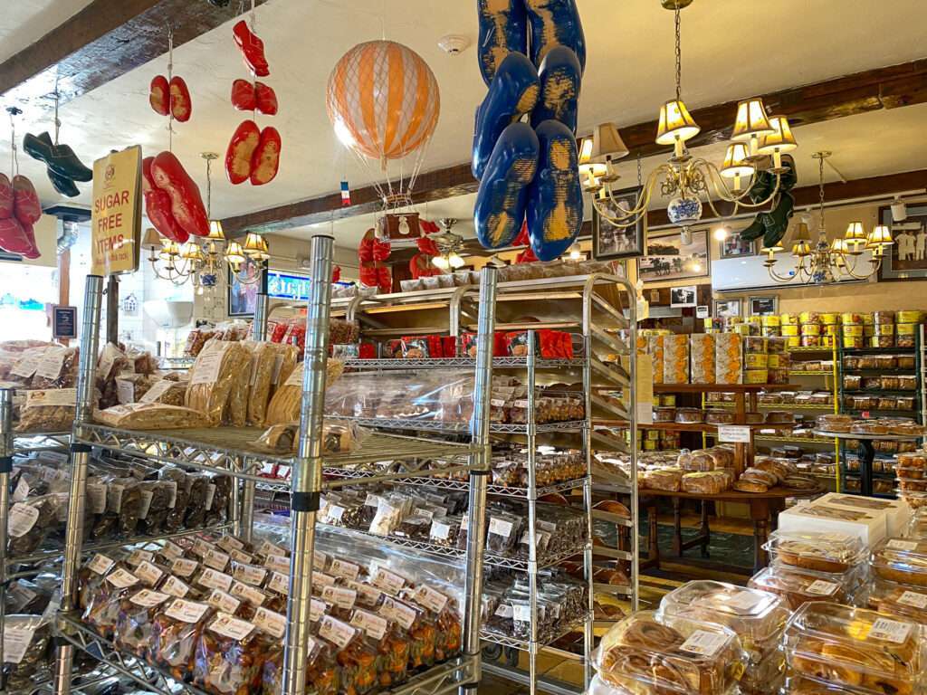

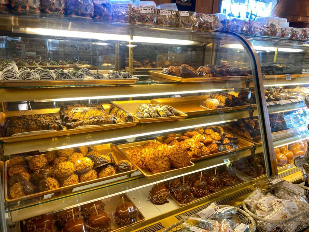
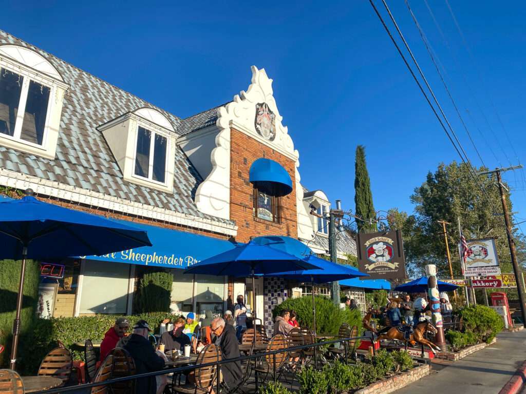
I met Eric Schat last summer on my week-long ghost town trip to Tonopah and Tybo. Stan Paher invited me to spend a day with him exploring Fish Lake Valley. His good friend Eric arrived, and after we met, he asked if I wanted anything. I jokingly said chili cheese bread; he opened his trunk to a bakery full of goodies he had baked that morning. I felt very fortunate to meet him; sadly, he passed a few months later.
Pumice Mill
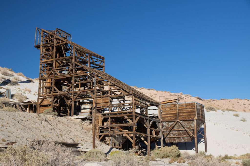
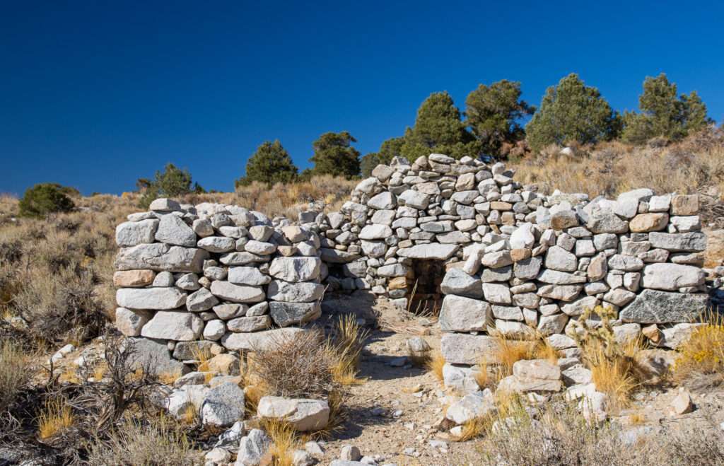
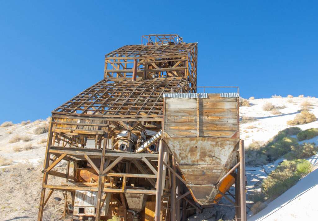
I don’t have any information on this pumice mill, but it has a fantastic structure.
Sacramento Mill
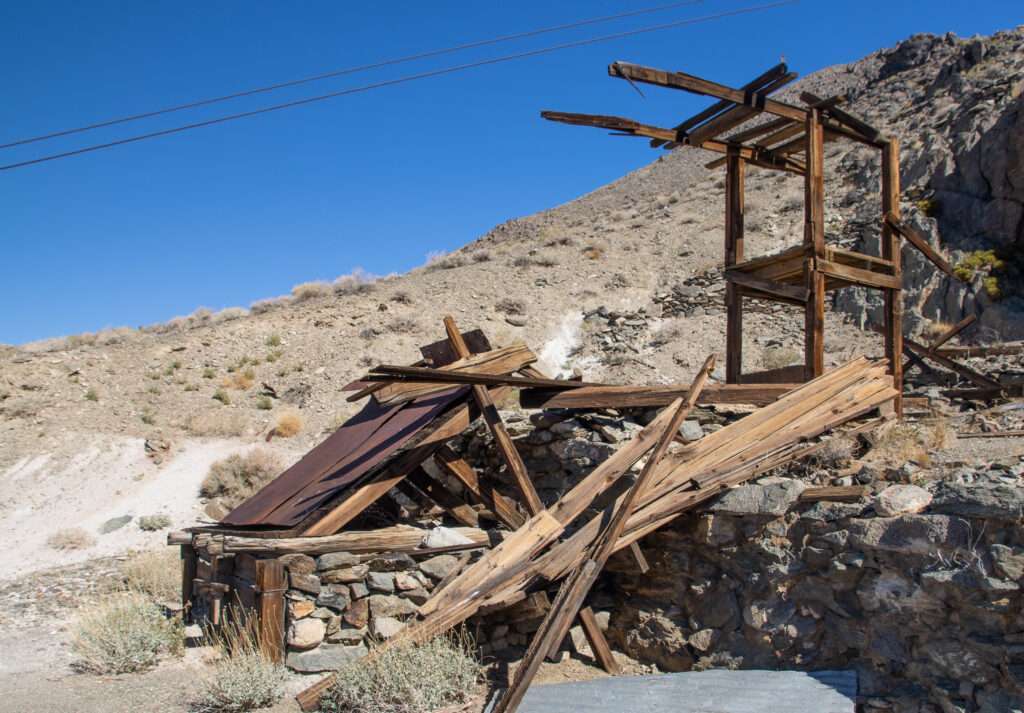
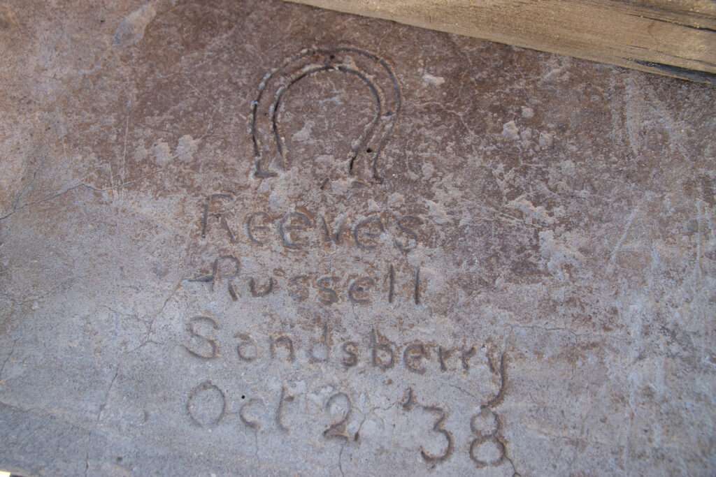
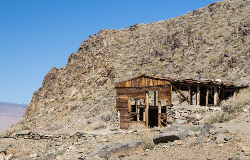
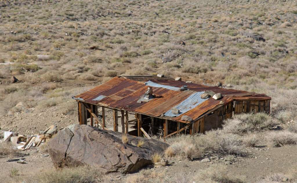
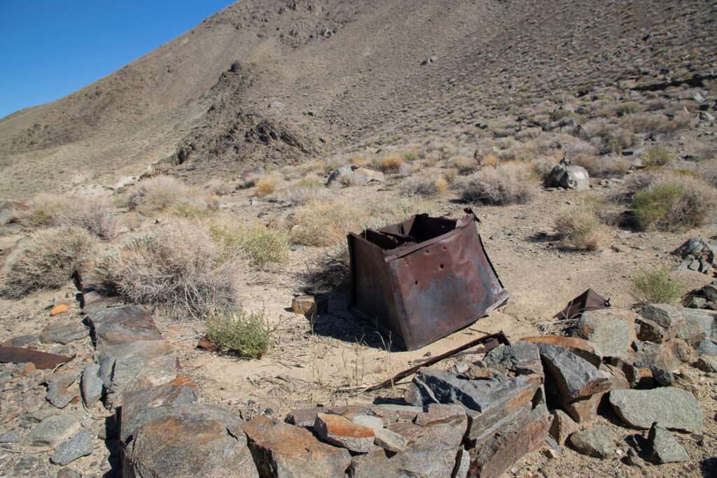
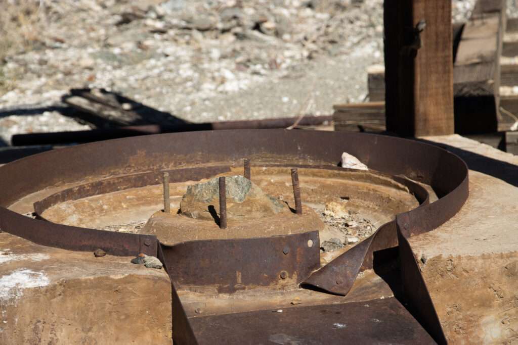
Sacramento Mill turned out to be an expansive site covering several hillsides. Reeves Russell Sandsberry built a portion of the aerial tram on October 2, 1938. I wish all sites had a date stamp.


Blind Springs
As the first day’s trips derailed, Jess left it up to me to plan the third day of our trip. The day before, I had read about Blind Spring Hill.
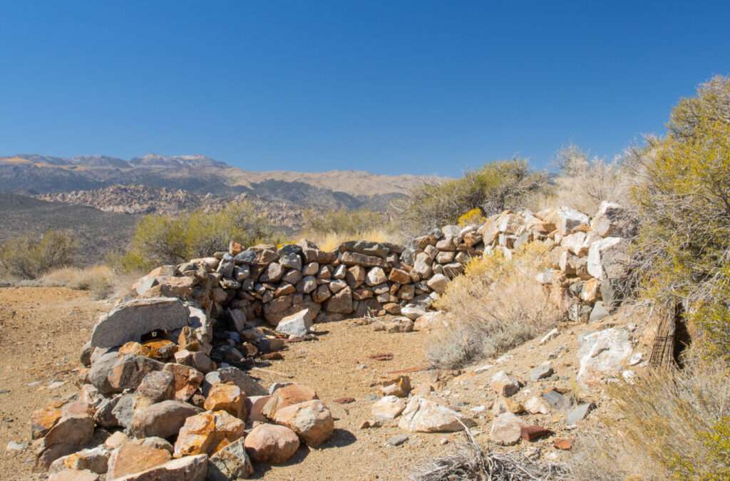
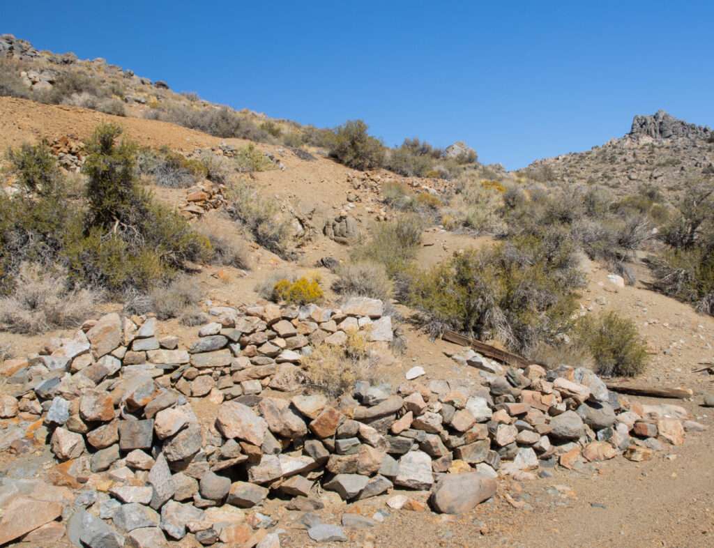
If you like to explore old forgotten mines, then a visit to Blind Spring hill is just the trip for you.
Inyo-Mono SUV Trails. Roger Mitchel
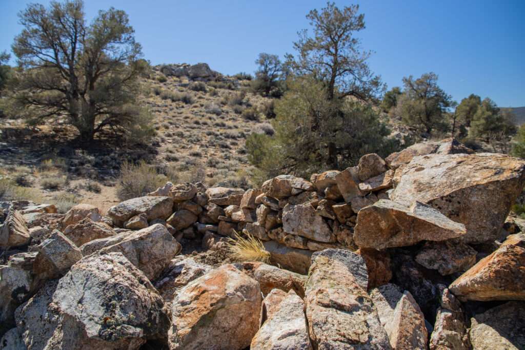
I pointed out the chapter to Jess; see, they say this is a Tami ghost town. After our excursion to Montgomery City, Jess was probably questioning the wisdom of my choice of ghost towns. We decided to leave the Grand Cherokee at the base of the hill, but it could have made the trip.
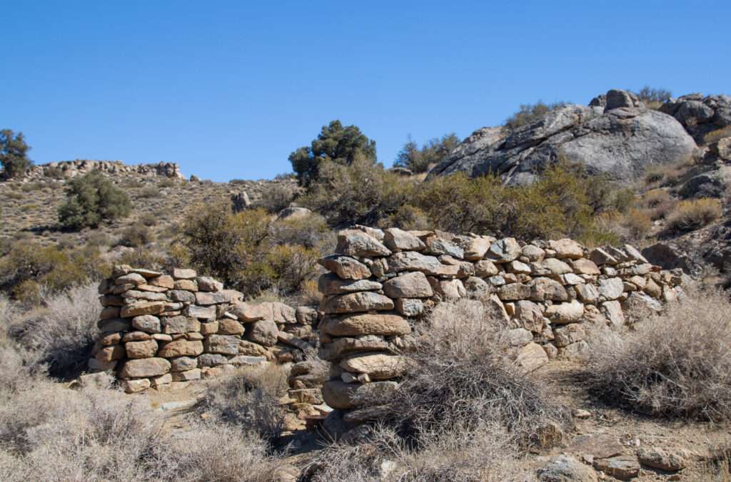
Prospectors from Montgomery City discovered ore in Blind Spring Hill in 1865 and rapidly filed hundreds of mining claims. Despite the name, there was no water on Blind Spring Hill. They transported water from Benton Hot Springs. Blind Spring developed a hotel, stores, and of course, saloons isolated on the mountainside.
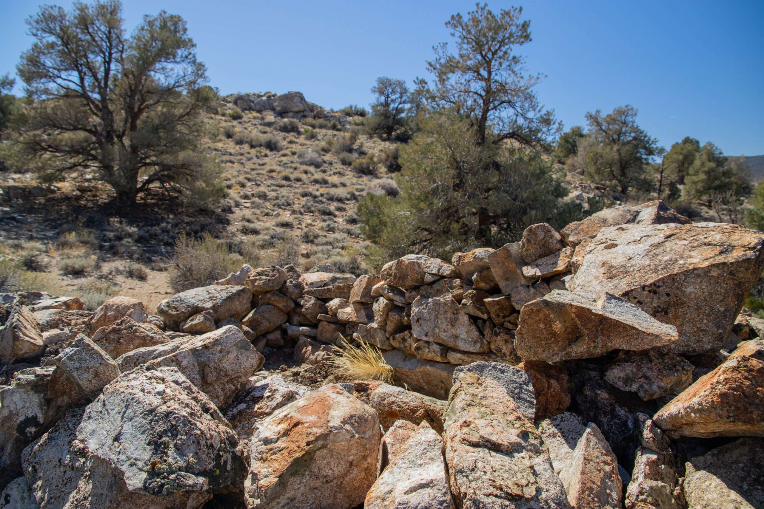
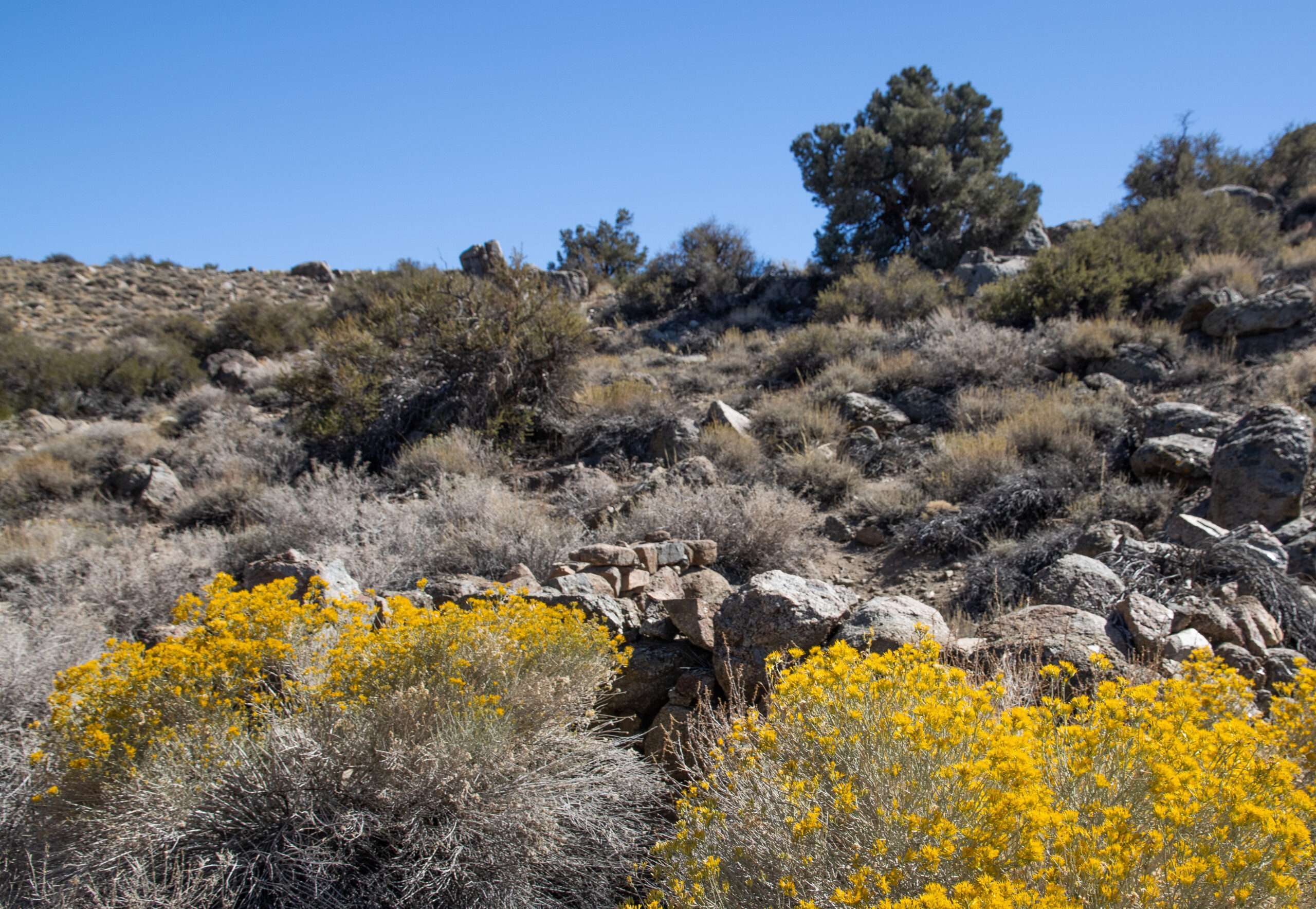
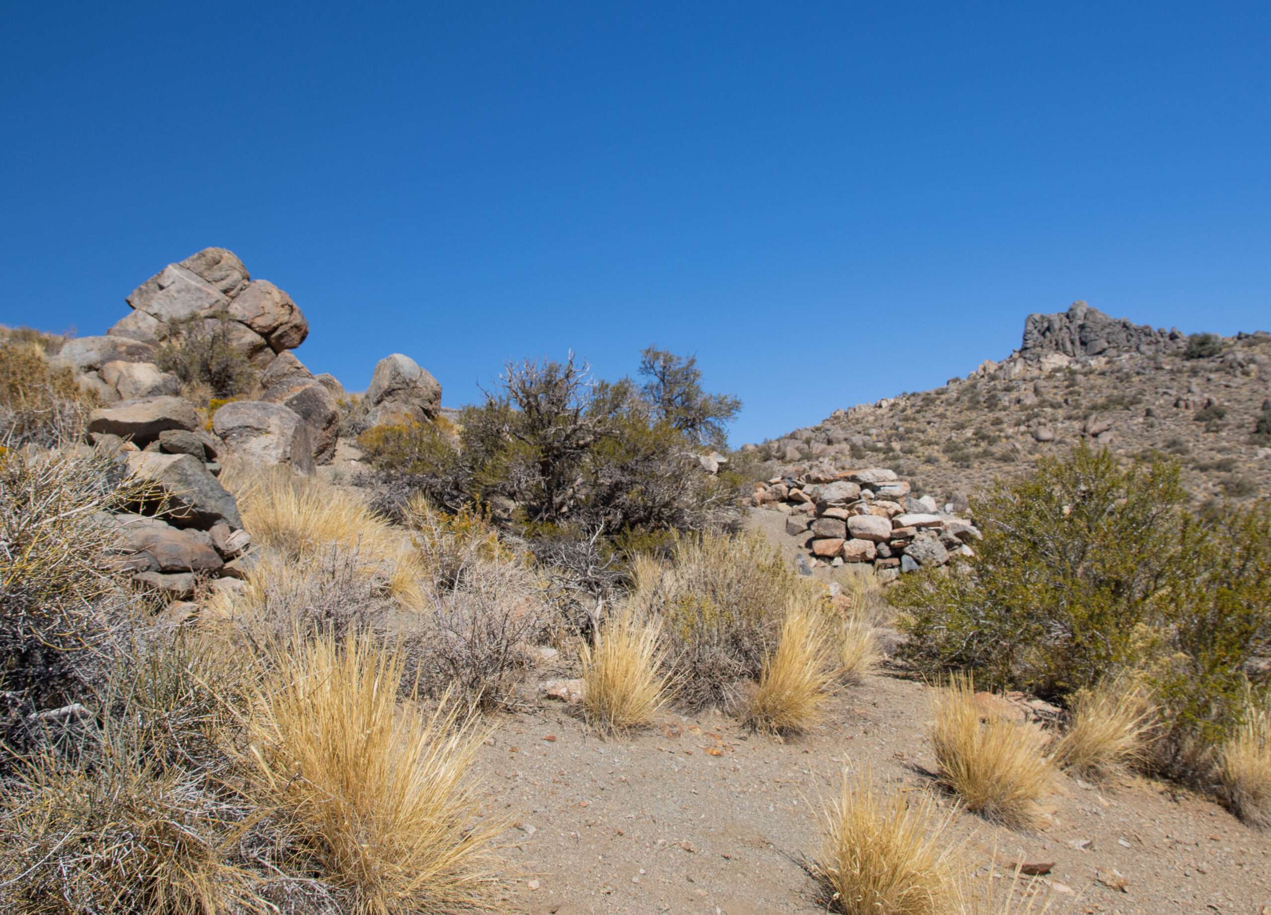
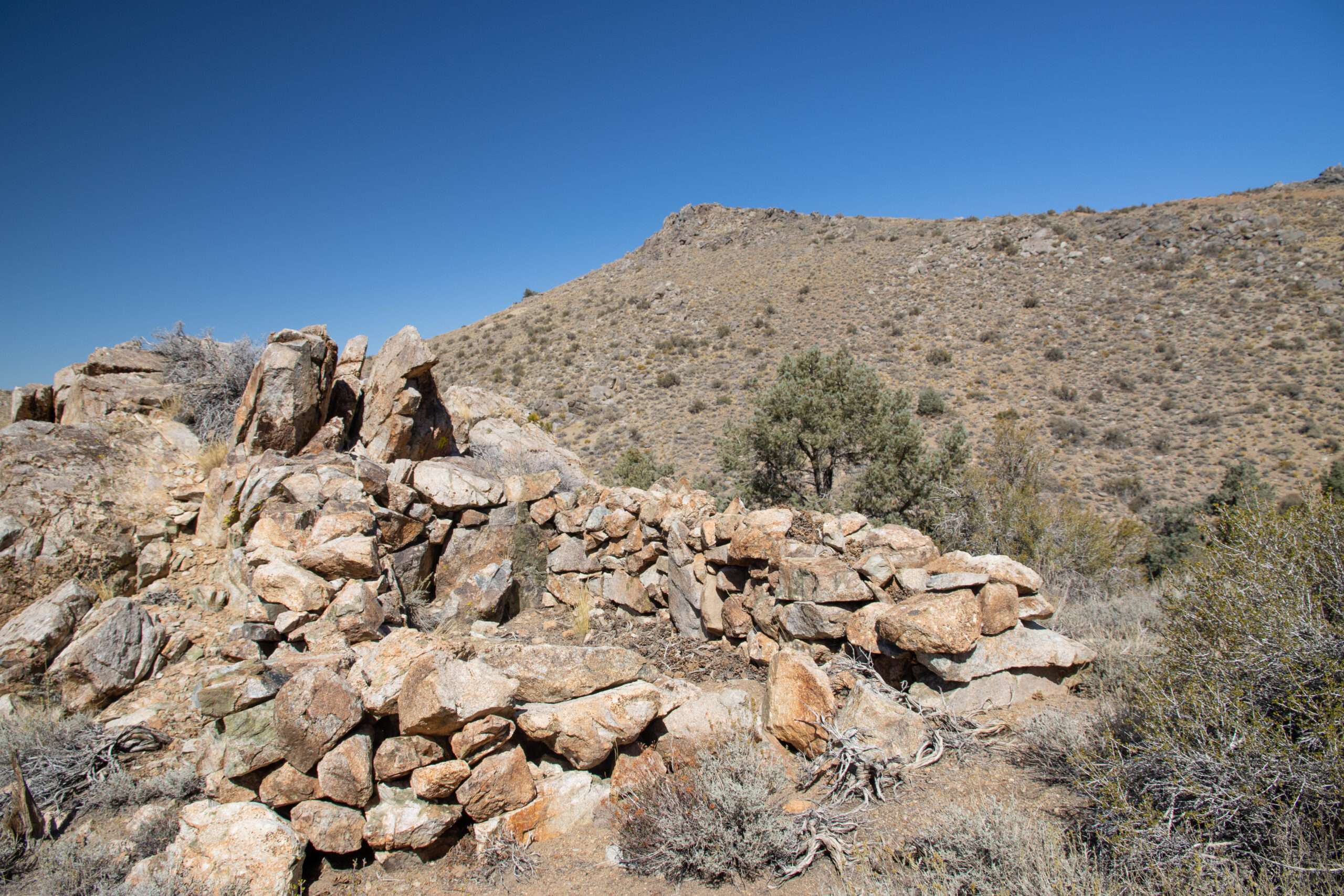
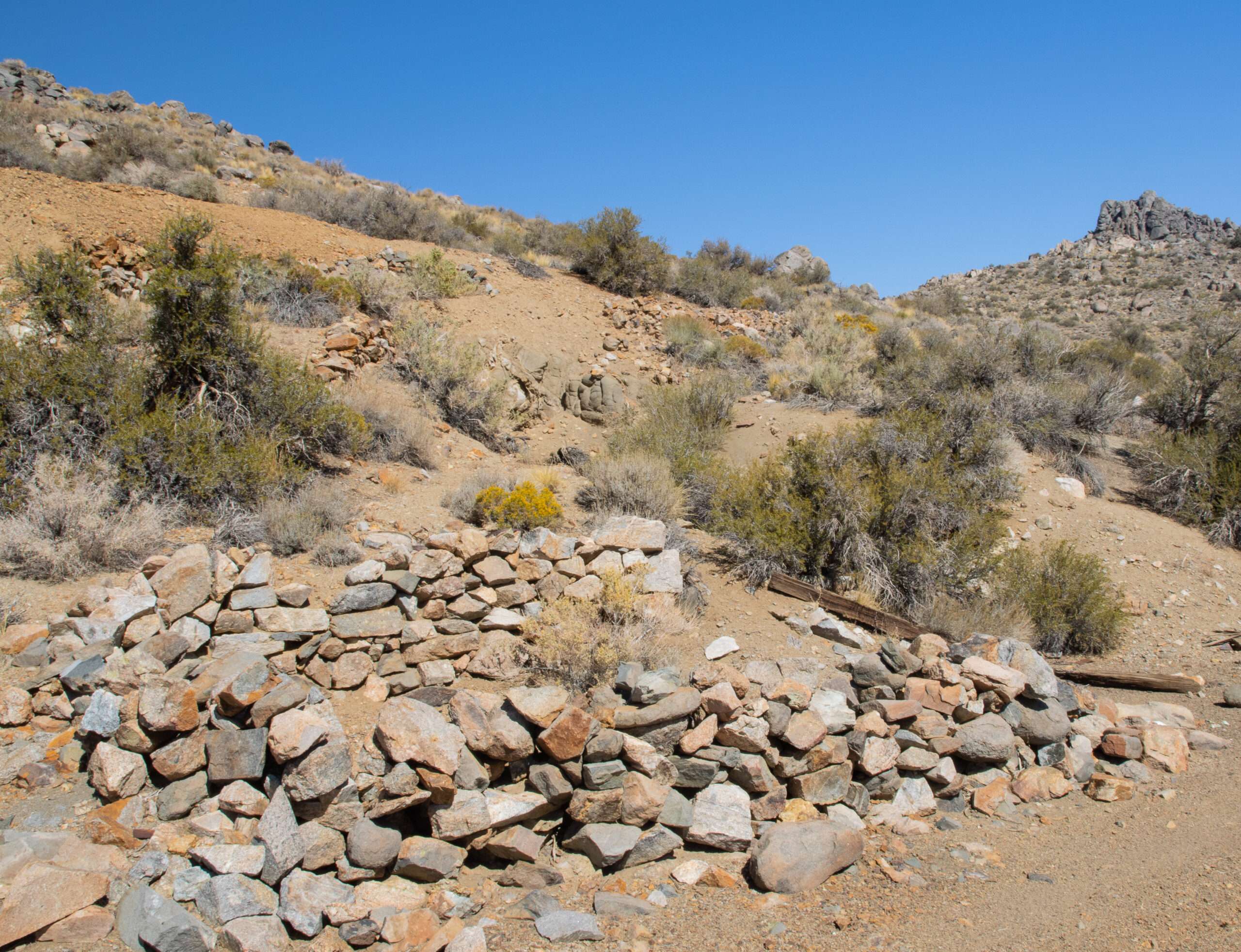
Due to a lack of water, most miners live closer to the hot springs. Not much is written about Blind Spring Hill aside from the mining history.
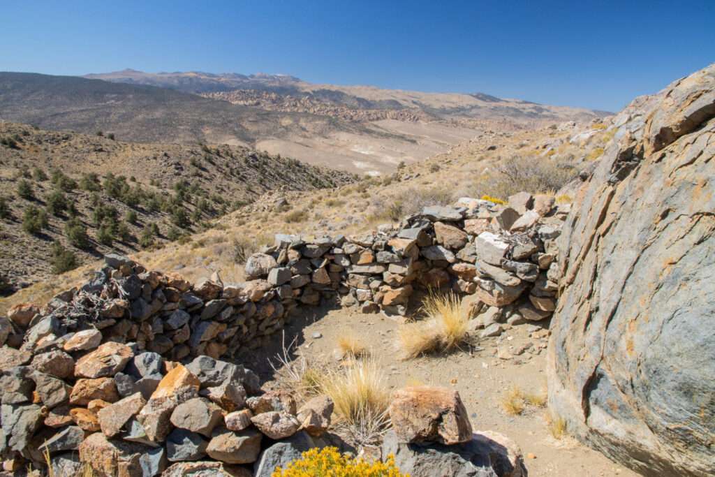
Benton Hot Springs
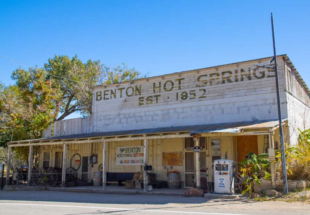
As we were in the area, we stopped at Benton Hot Springs, with a population of 13 1/2. I would love to know the story behind the half-person!
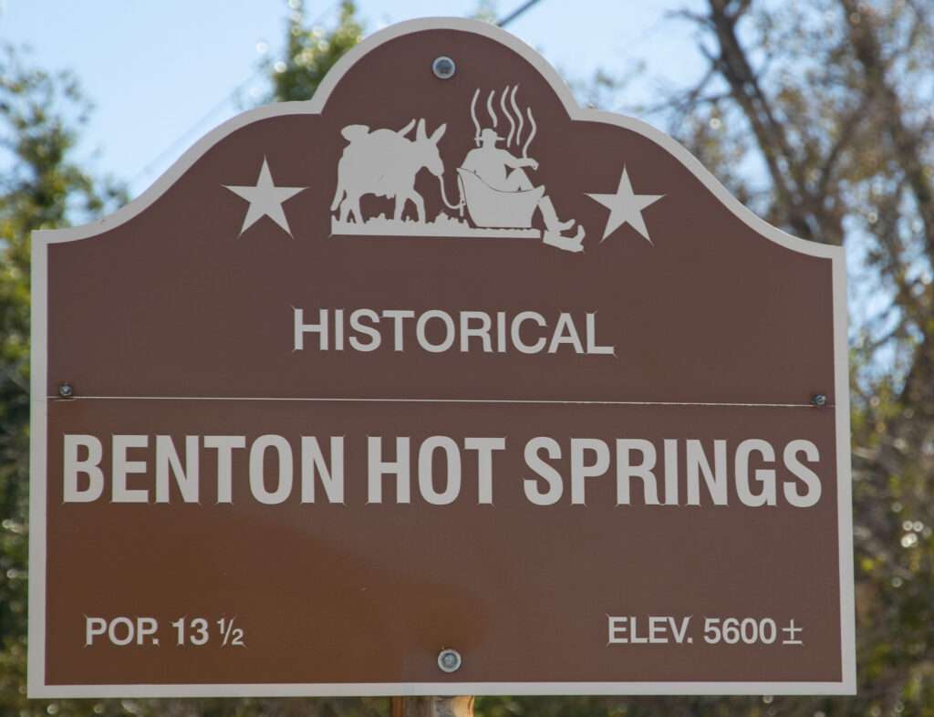
Benton supplied water to surrounding mines, including Blind Hill. A post office opened in 1886.
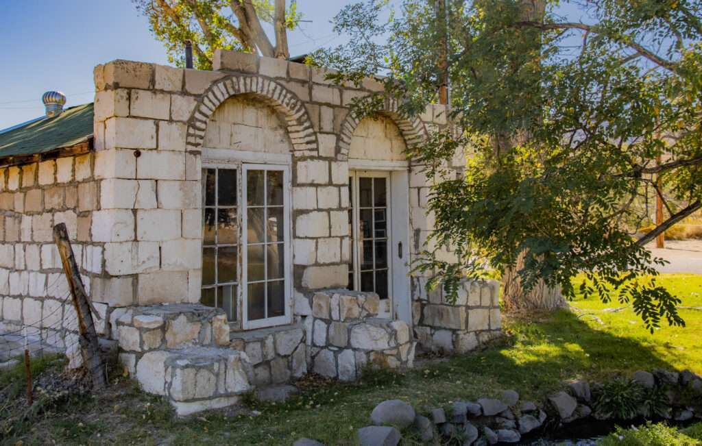
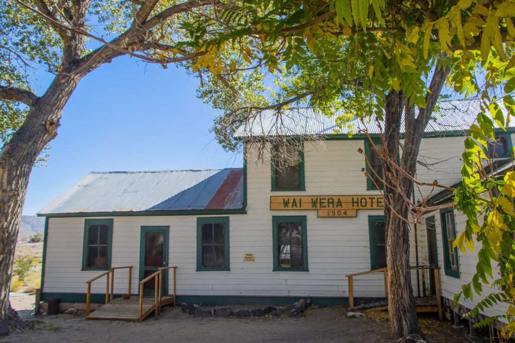
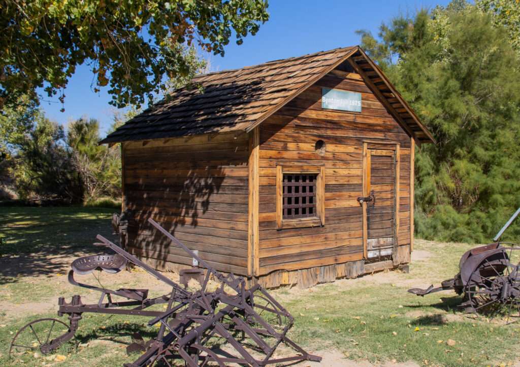
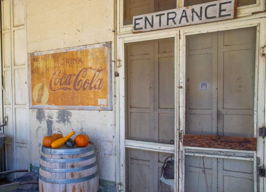
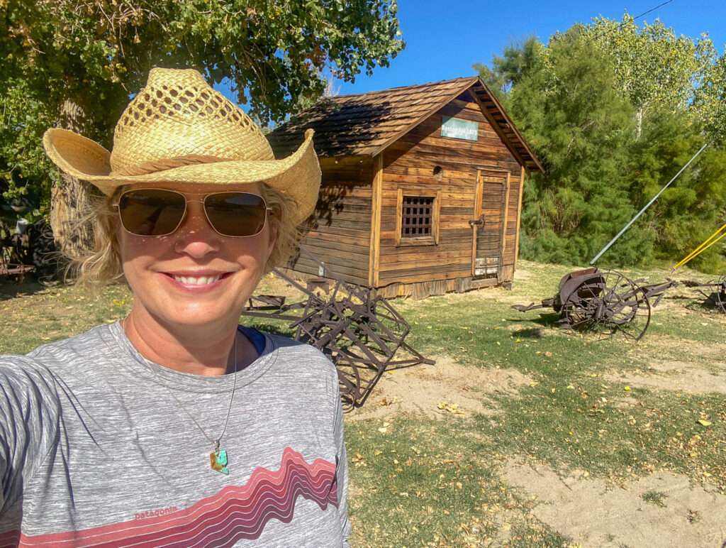
It looks like Inn at Benton Hot Spring owns many of the structures in town. The Miner’s Cabin was moved from Blind Hill. I think I will talk the family into visiting and renting the houses through the Bed and Breakfast or head back with friends. Each rental includes a hot spring, many private.
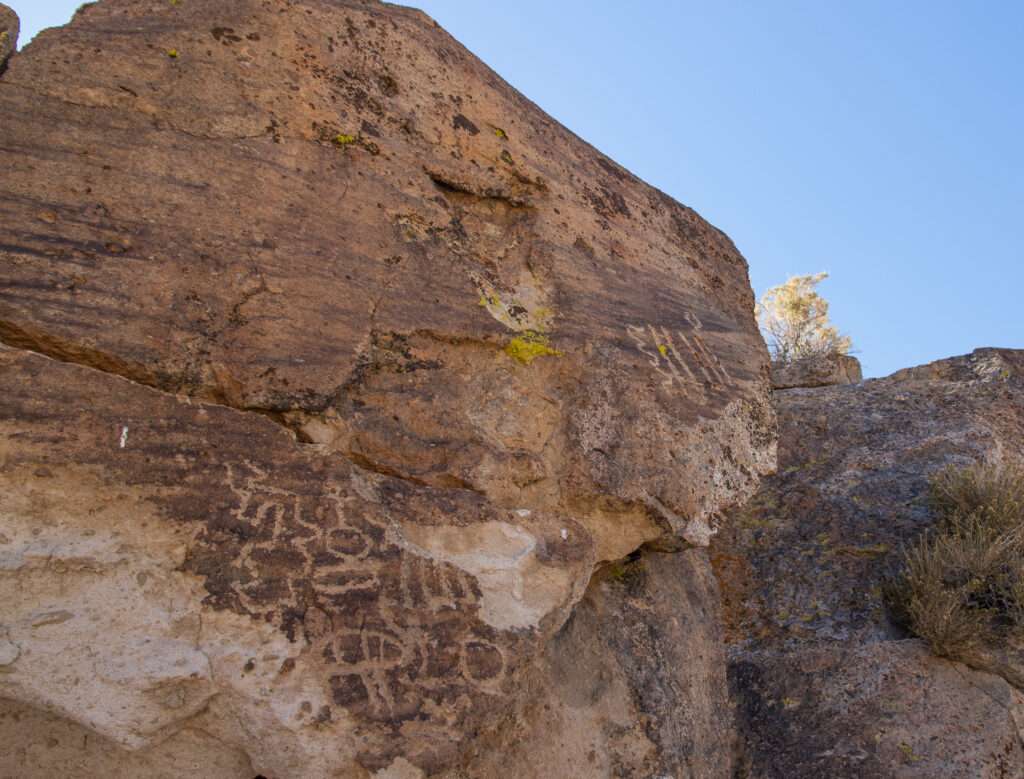
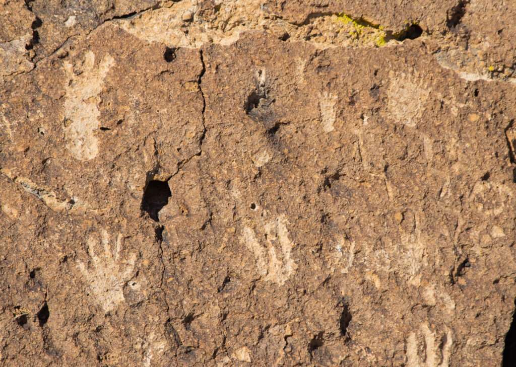
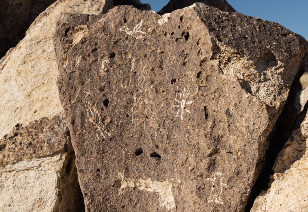
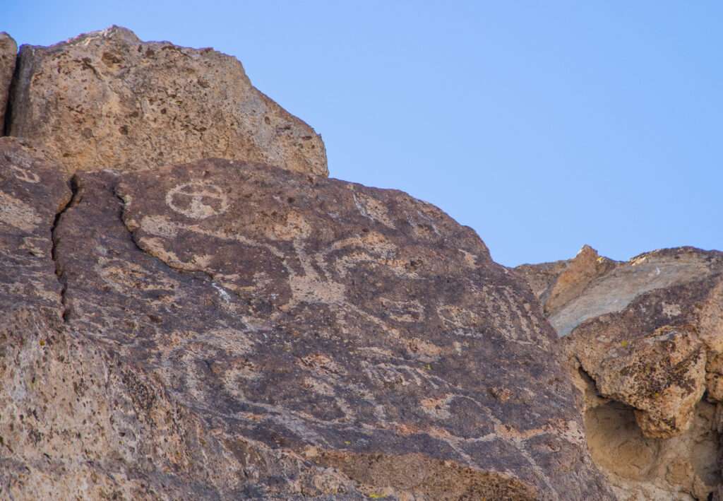
Bishop Petroglyphs
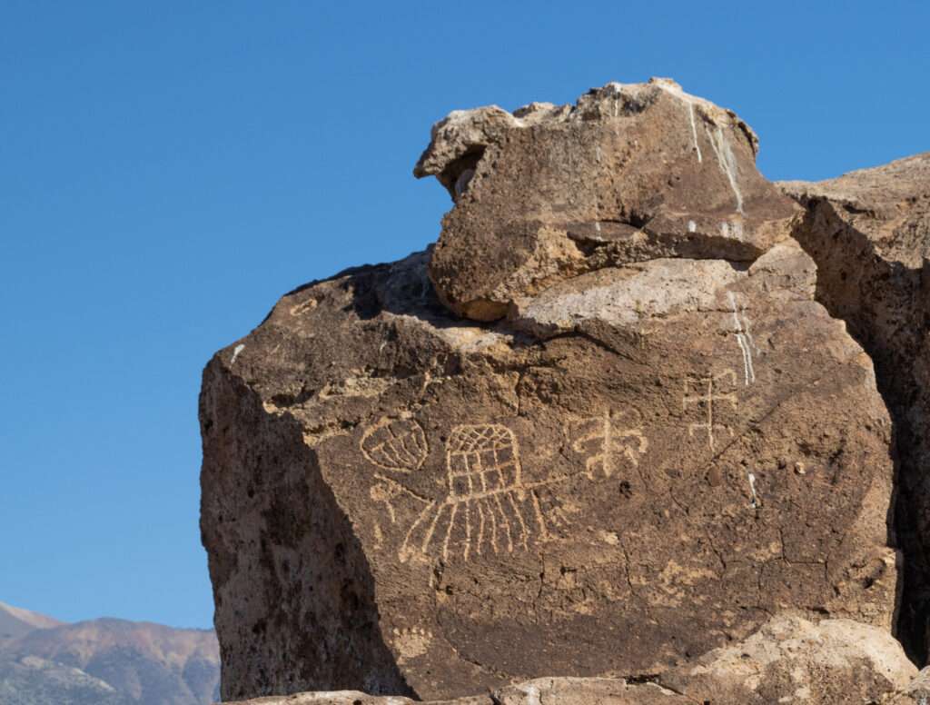
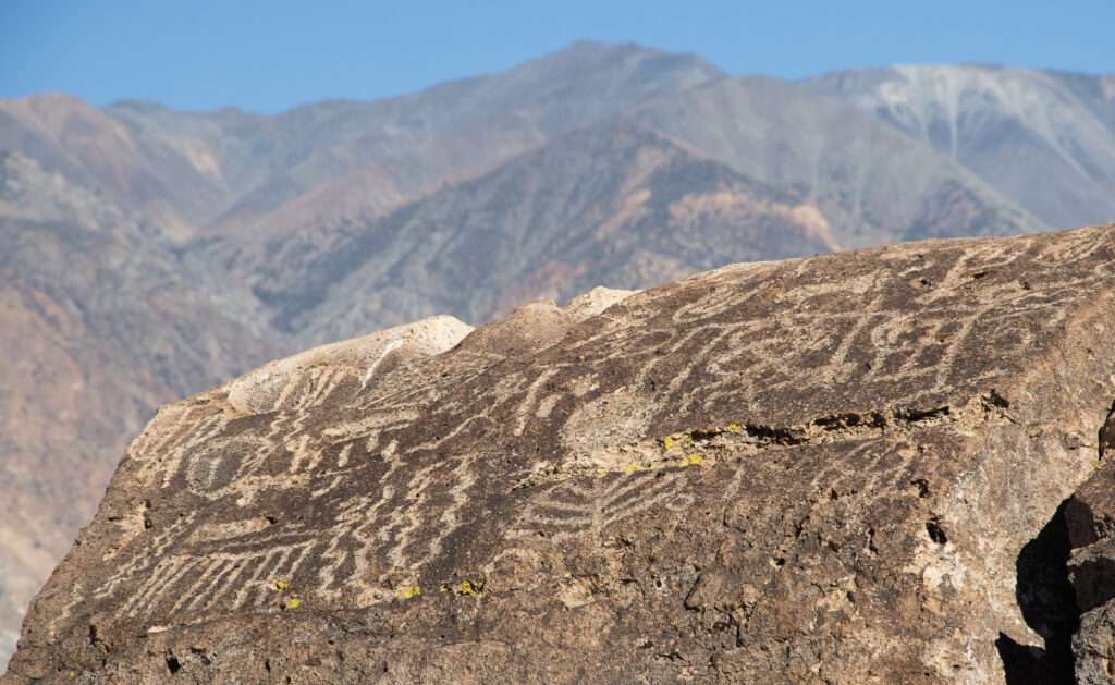
Our last stop of the day was a quick detour to petroglyphs. These petroglyphs are known for their unique elements.
Kit Carson’s Daughters Grave
On our fourth day I was in the lead and planned a few stops on the way home.
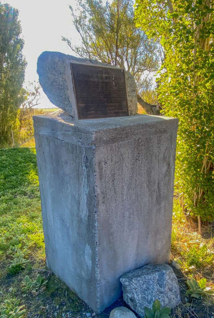
On the way to Bishop, I noticed a historical marker off the highway at Mono Lake. I had never seen it as it was set in trees on the property of Mono Inn. I had to make a quick stop; poor Jess realizes I can’t pass a historical marker without seeing what it says.
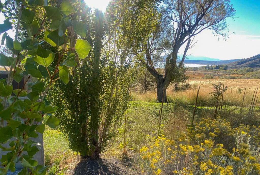
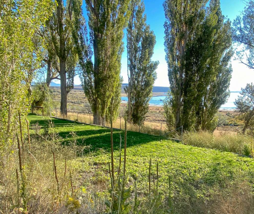
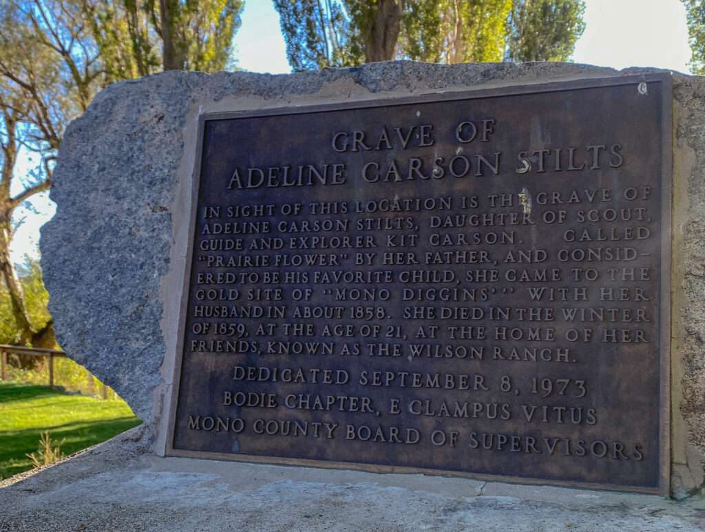
I was surprised that the marker was for the grave of Adeline Carson Stilts, Kit Carson’s daughter. Kit Carson called her “Prarie Flower.” She moved to Mono Diggings, Monoville, with her husband in 1858 and sadly died in childbirth the following year. The grounds are a restaurant, but we looked around from the road but didn’t notice a grave. According to The Sheet, her exact burial site is unknown unless new information came to light following the article.
I looked at Mono Inn online and want to go back for dinner. In addition to beautiful grounds, they have a fantastic farm-to-table menu.
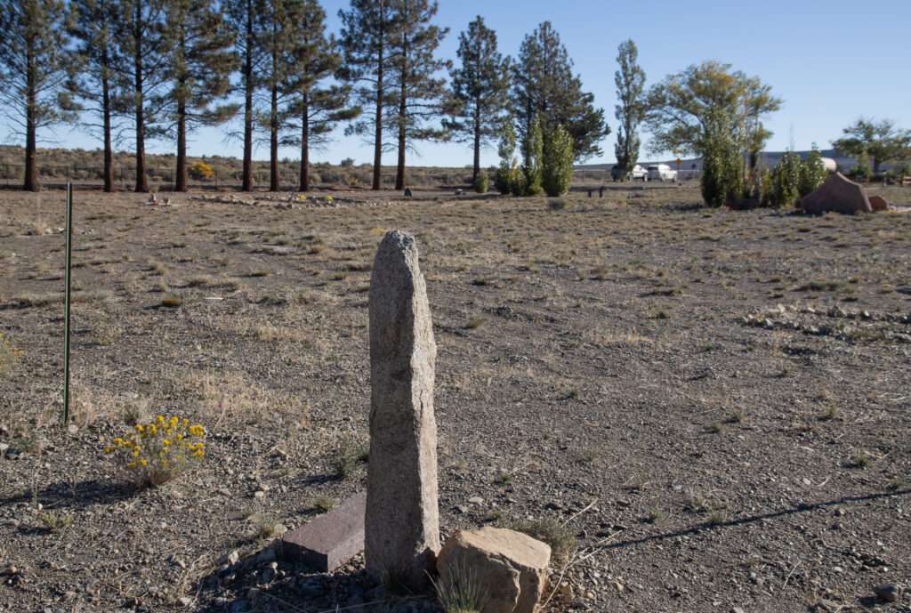
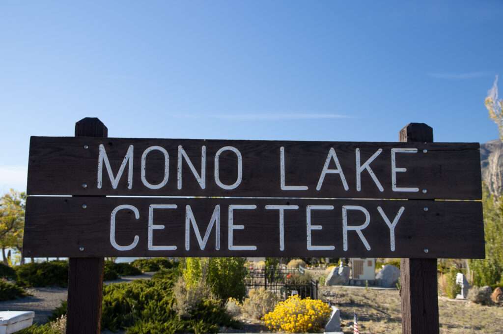
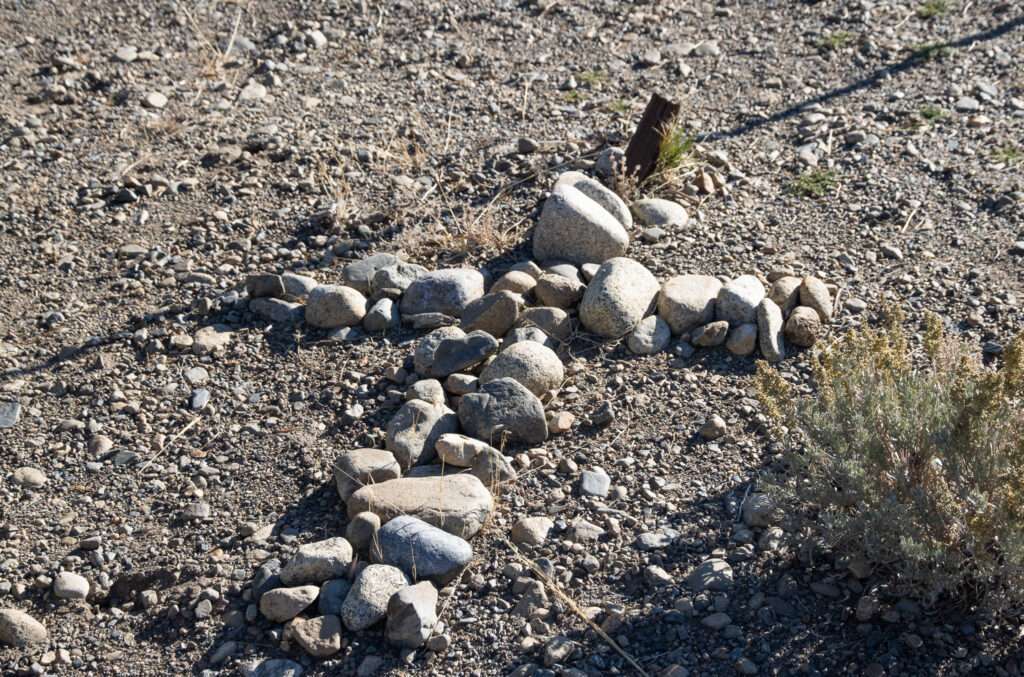
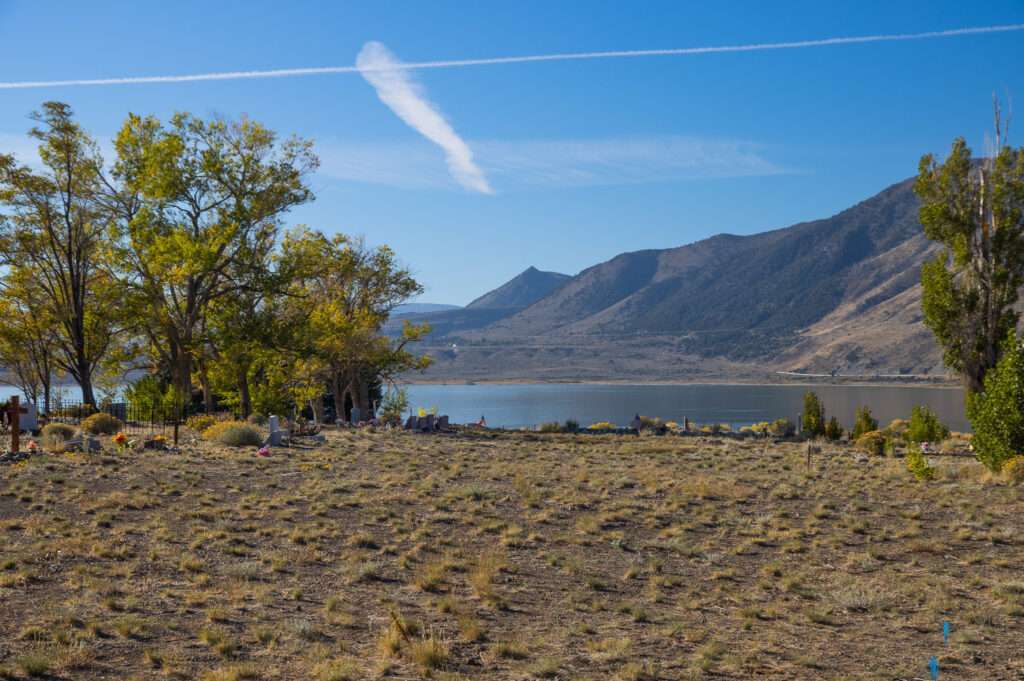
Getting ready to leave, I saw a turnoff for Cemetery Lane. It seemed to make sense that it was the final resting place of Adeline. No such luck. Mono Cemetery is amazing and a site I want to visit again, but not the final resting place for Adelaide.
Little Bodie
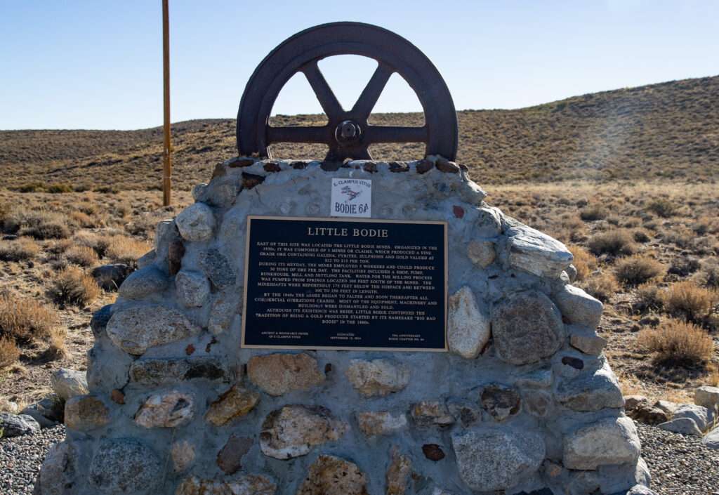
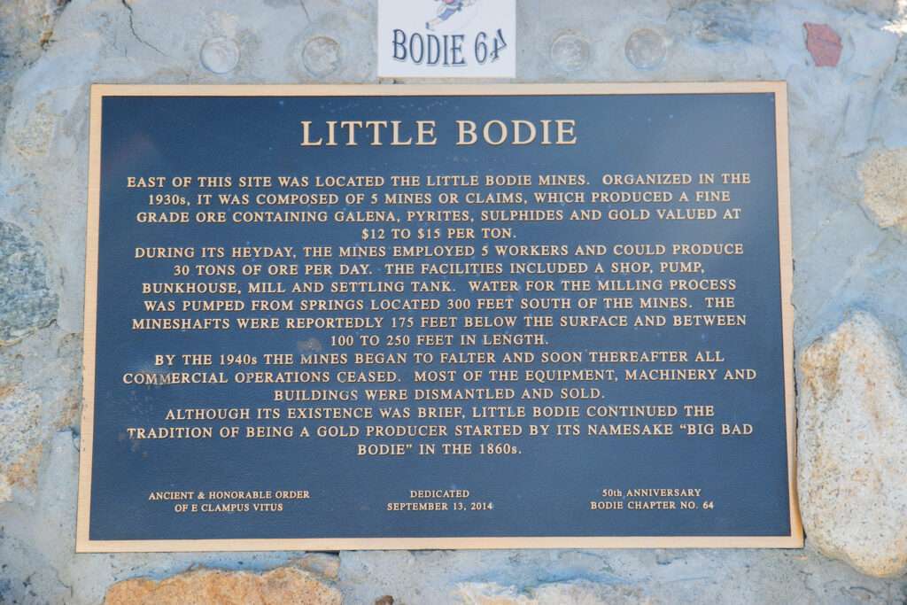
I wanted to stop at a historic marker not far from the Bodie turnoff, but it never worked out. It looks like I’m adding another site to my list to visit. Miners established mining claims in Little Bodie in the 1930s. The mines in Little Bodie had five workers, a mill, a shop, and a boarding house.
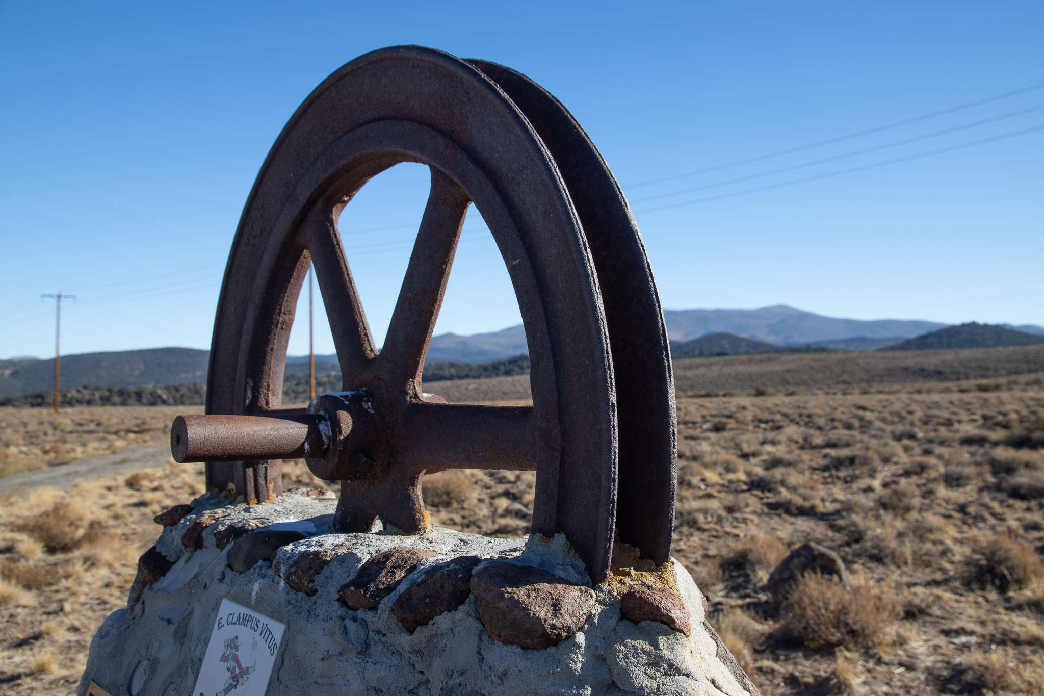
The claims lasted less than ten years, and with the onset of WWII, they closed operations. The majority of structures and mining equipment were disassembled or relocated.
Dog Town
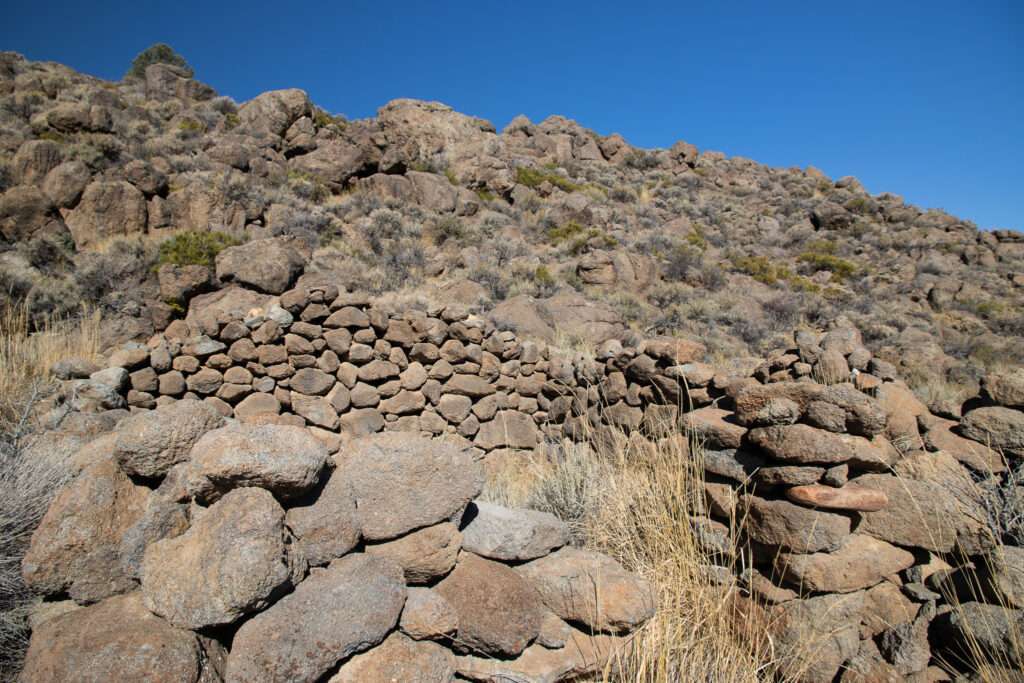
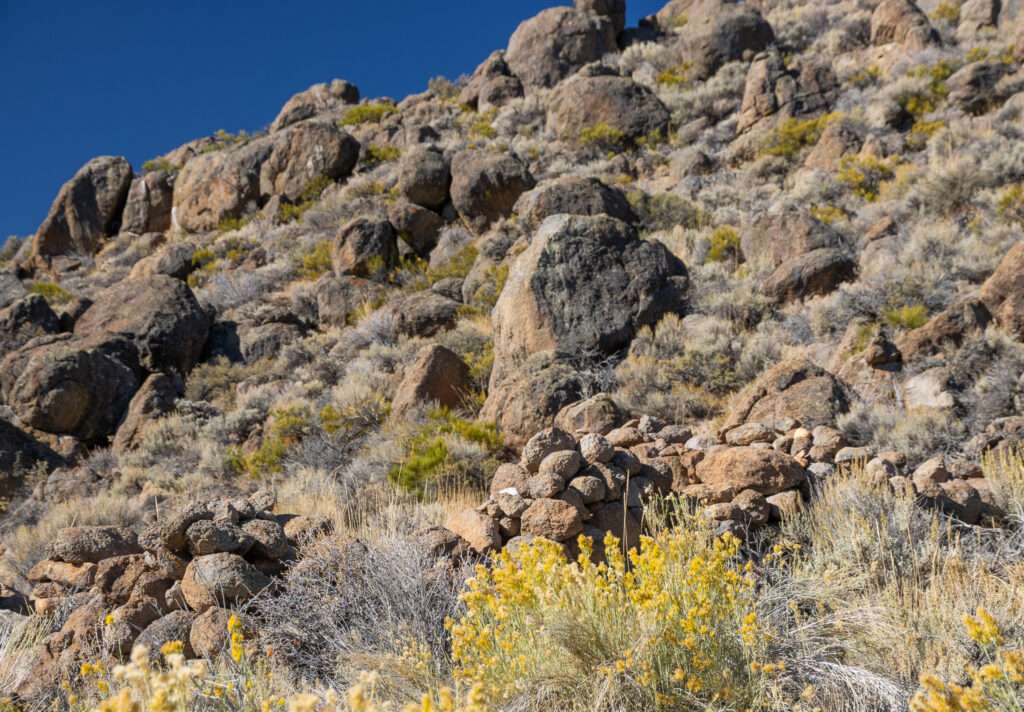
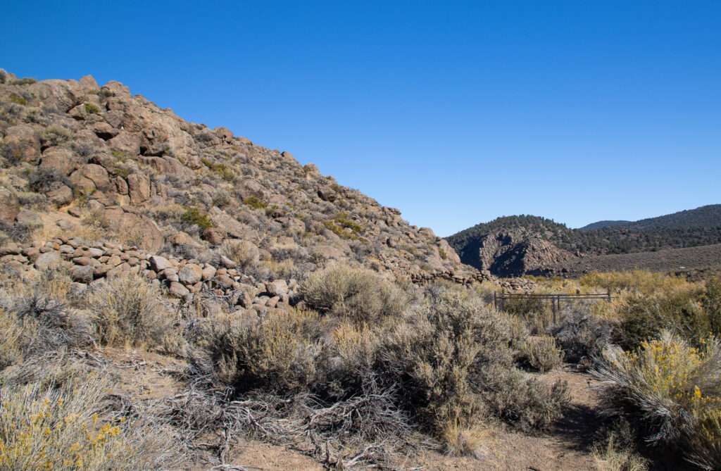
Dog Town is a site I have been meaning to visit. As it sits off Highway 95, I have been past many times and stopped at the information markers above the ghost town. The town site is below the road but on the other side of the creek. I had been warned about the river crossing and to go in a back way. It was a bit of a drive, but we looped around the backside of the hill and dropped into Dog Town.
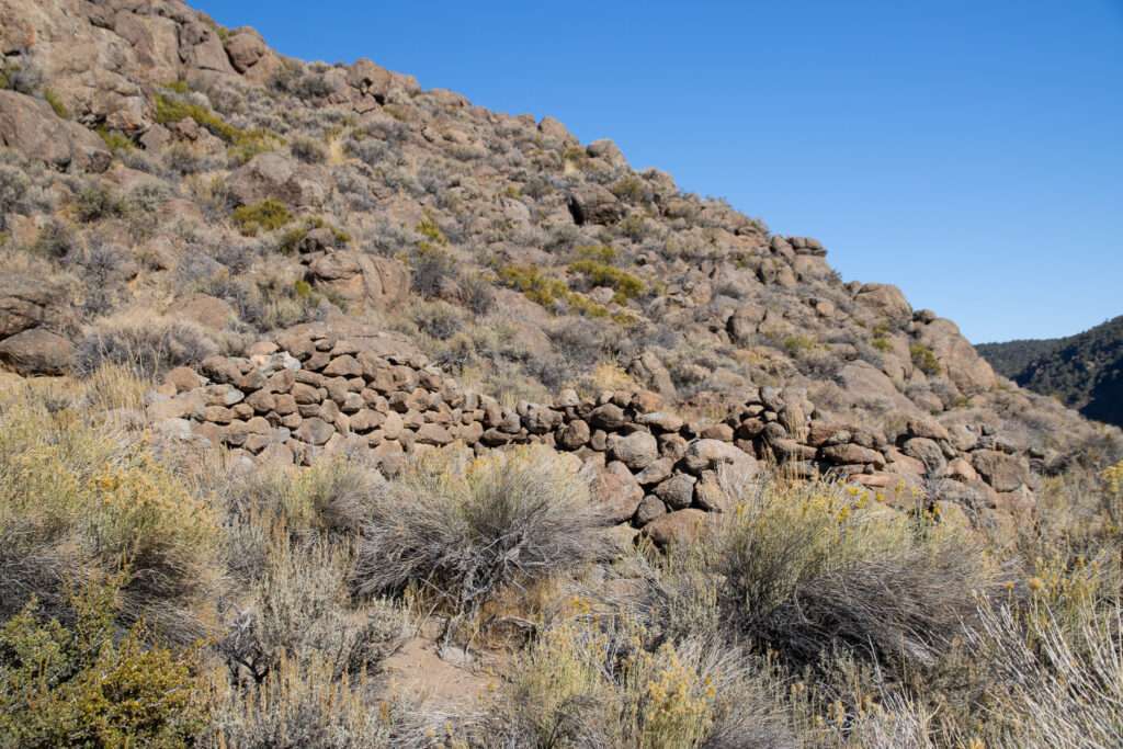
Dog Town was the site of the first significant gold discovery on the eastern slope of the Sierras in 1857. Unlike many mines on the eastern slope, Dog Town was placer and hydraulic mining.
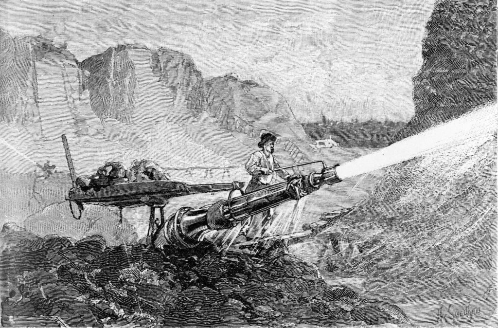
(Photo credit: Wikipedia)
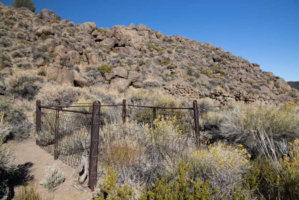
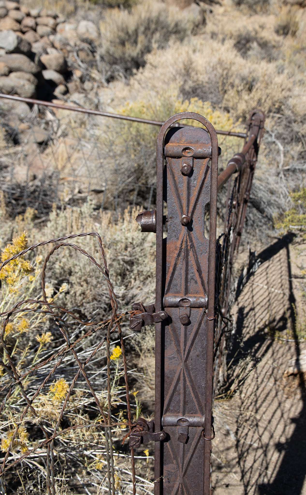
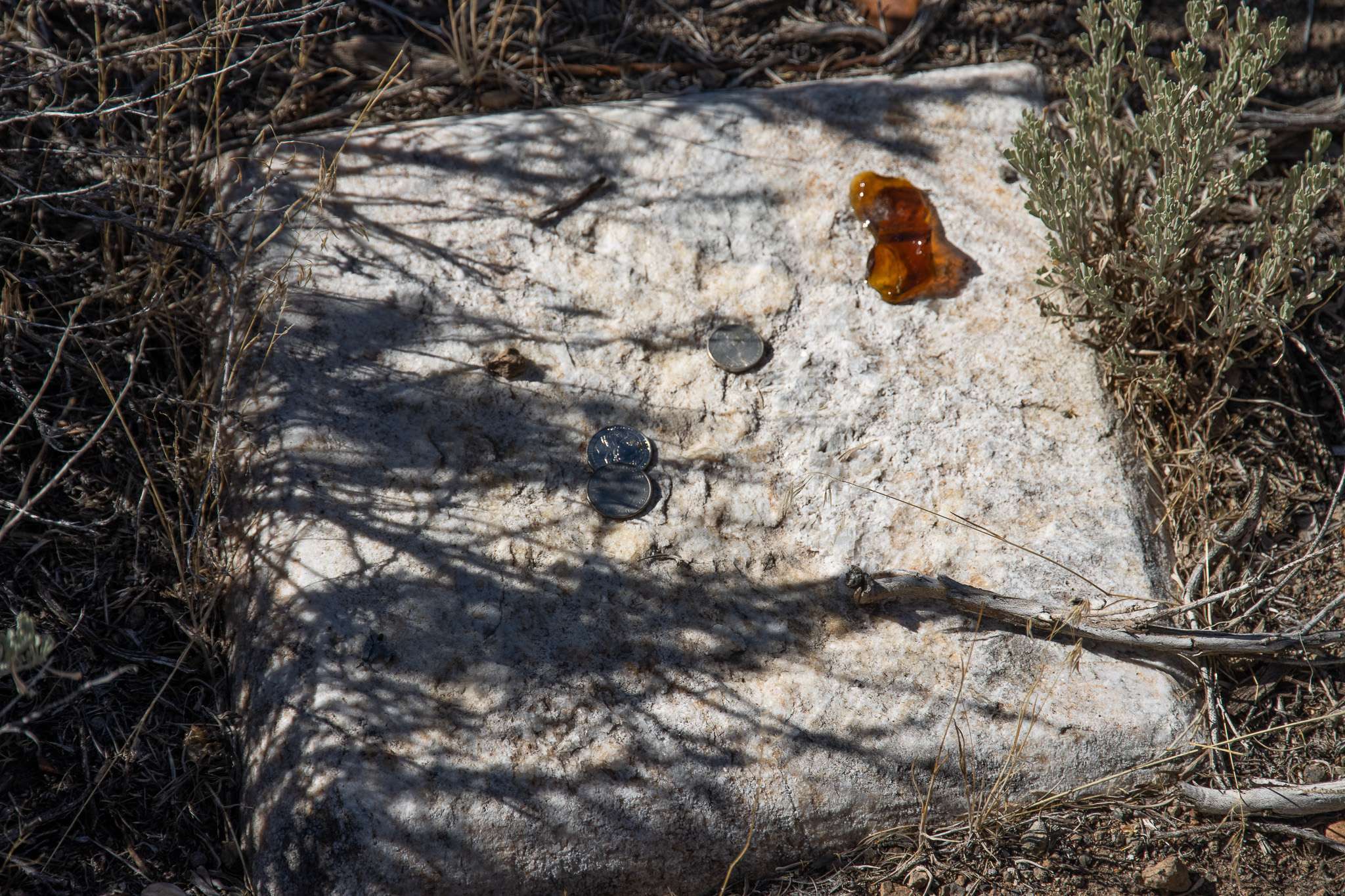
Although the largest gold nugget on the eastern sierras was discovered here, the claims played out quickly. Miners moved to new strikes at Monoville, Masonic, Bodie, and Aurora.
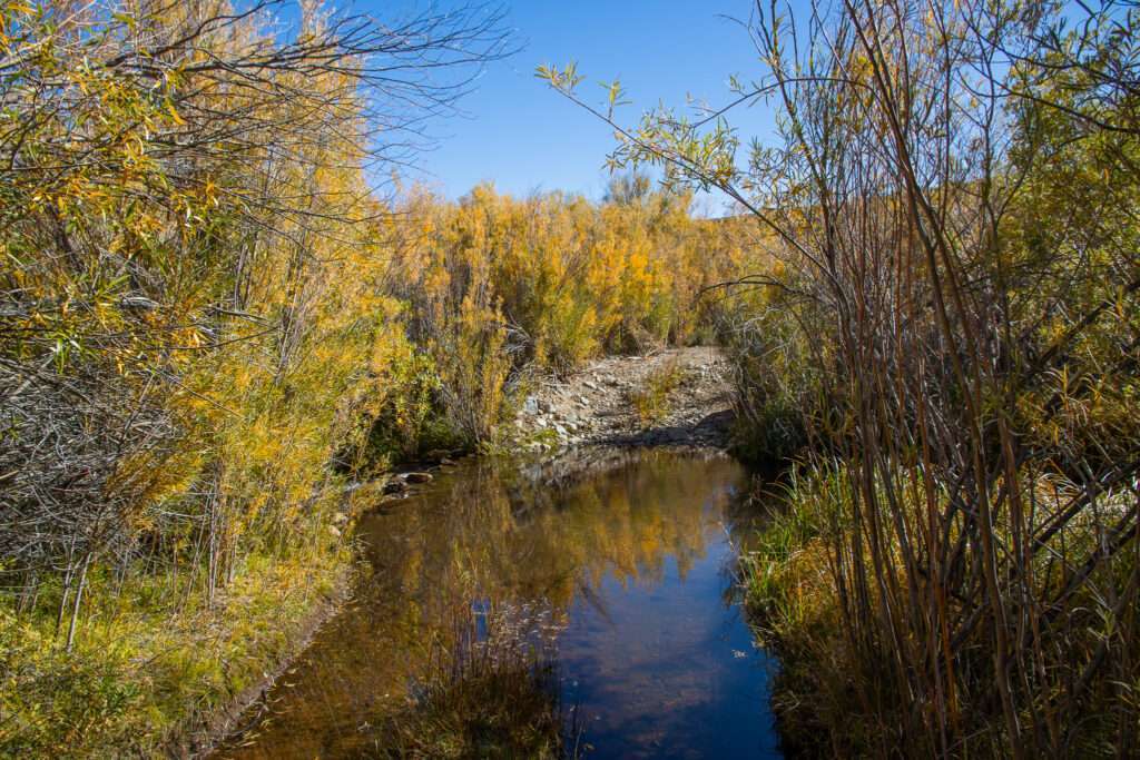
Leaving, we decided to check out the river crossing. As it was fall, the water was pretty low. I let Jess go first before I tried the two crossings. Once again, the off-road gods smiled at us, and instead of a half-hour drive, it took two minutes.
Welcome Home
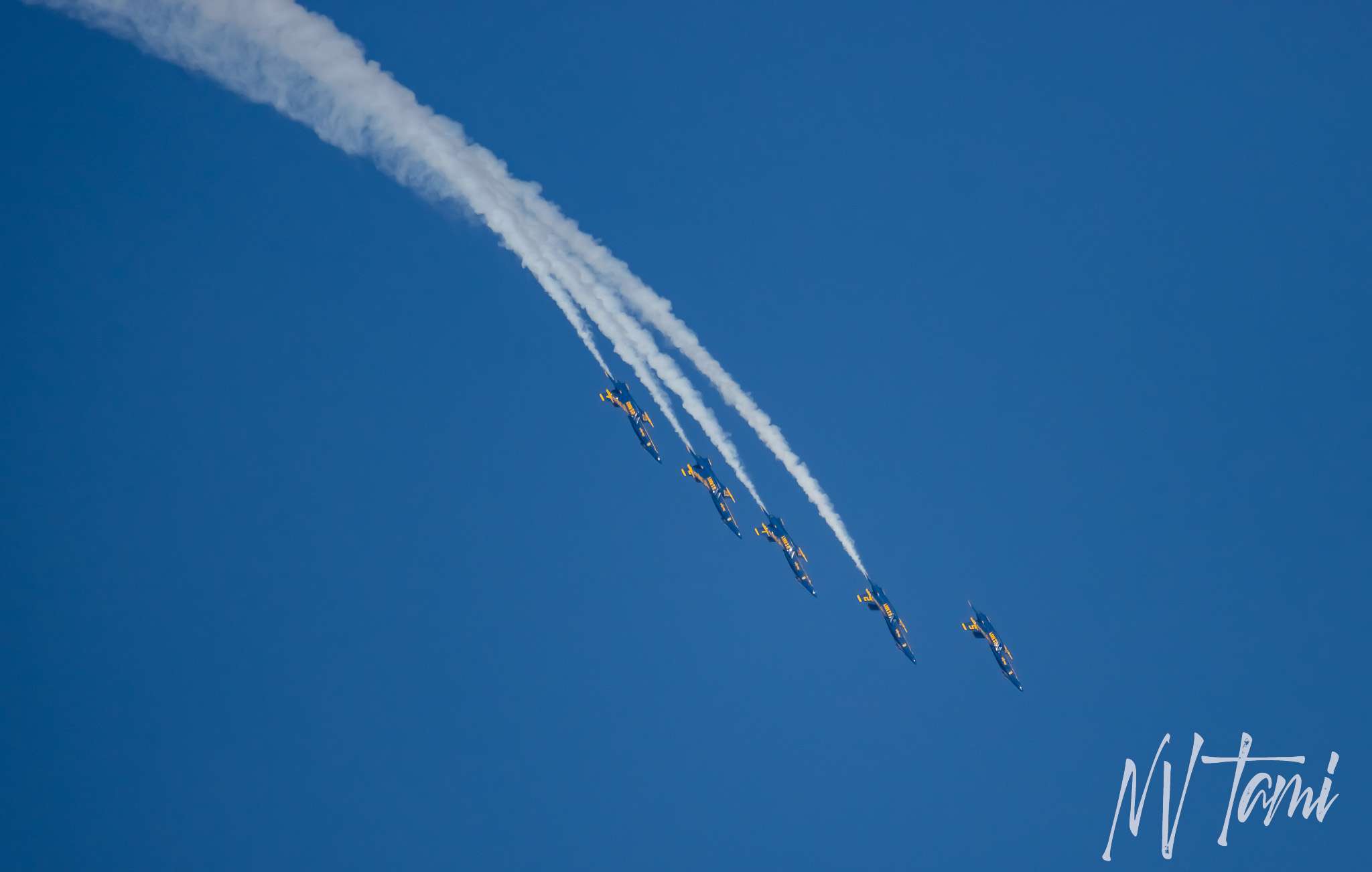
I had a cool welcome home. The Blue Angels performed at the Aviation Roundup and flew back and forth over the ranch.


I’m pretty sure Blue Angel #6 was looking at me, shaming me for my drone pilot skills.





Want more ghost towns?
For information on more than five hundred ghost towns in Nevada & California, visit the Nevada Ghost Towns Map or a list of Nevada ghost towns.
Follow me on social media: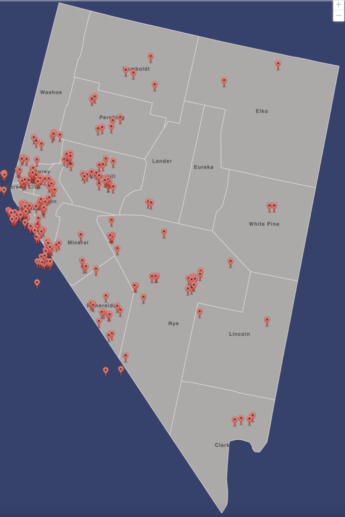
Linda Miller says
I lost my prescription sun glasses at the Lincoln Log Mine last week. Sorry about your drone.
Tami says
There must be a curse with the mine and losing things! I’m sorry about your glasses.
Doug Saunders says
great articles and pictures glad I found your site! I have been traveling and visiting Nevada ghost towns for many years, your travels remind me of how much I miss the adventures.
Tami says
Thank you, I am glad you enjoyed my site. I hope you can still get out; there is so much to explore in Nevada and even that other state;)
Anonymous says
Great article, we were just at some of your stops and need to go back to see the rest. Sorry about the drone.
Your articles are always interesting and informative!
Justin and Mary
Tami says
Thank you. I’m sorry I missed the trip; I didn’t even see it. I’m getting the Jeep back tomorrow. Still waiting on the warranty company and the new engine. It will take months, but I’m cleared for of-road.
terry says
you list a little bodie, it sounds like it was a separate town from bodie and tore down. can you tell me a little about it? didn’t see anything on the internet, just bodie. another good article. thanks
Tami says
I don’t know more beyond the historical sign. I will be sharing as I learn more.
George says
Great article thanks but I have to comment it is Sierra not Sierras many make this mistake
Tami says
You are correct; it is a mistake I make frequently as I verbally refer to them as the Sierras. I will make a goal to use the correct form.
Colleen Garcia says
Hi I have some different facts in the Inyo National forest minerals files about the log cabin Mine and the history of the mine gold mining success and reasons for mine failure.
Tami says
I haven’t written a full article about the mine yet and would love any information you have. I have a few resources of the region dating back to that time period. My email is Tami@NVTami.com
Jeffrey Tubbs says
Bishop local would love to know where the Lincoln log mine is located . I’ve never seen this in 35 years of living here
Tami says
It is in Mono County.
Christy S. says
Great post! Came across your site while researching ghost towns and must-see spots around Bishop, CA for my upcoming road trip. So glad our Airbnb is walking distance from Schat’s Bakery.
Tami says
Glad you enjoyed it. I will have more in that area soon; I’m heading down next month and again in early summer.
Dellilah says
Great post as usual Tami!! I’m toying with the idea of moving to Reno in a year or two and would love it if I could join you on one of these trips. I’ve been to a few of the places you post ab out and am impressed about how many you’ve been to and nicely report on!
Tami says
Thanks, Mono County is amazing. I am deep diving into the old stage stations and other places for my next book.
I take out a few off-road groups through the year, so let me know when you move. Austin at Nevada Expeditions does a great series through Churchill County. I pop into some of those with him. He always has great places and information.
https://ccpr.nvexpeditions.com